Now that the actual path has been selected, I can start making some initial plans for the walk. Typically these early strokes on the blank canvas are related to getting to and from the walk, the number of days needed, the placement of accommodation along the route and the distances between these.
Of all the paths I have walked to date, this one has presented the most difficult initial planning problems.
Getting There
This is potentially so difficult to achieve using public transport that I will be begging a lift off my son; which pretty much solves the getting there and back problem. I am also going to try and persuade him to meet me about half way, with a supply parcel of clean clothes and other equipment that I can swap out. Although that may be asking a little much of him, as the round tip time is at least six hours.
I did look at using trains and busses to get to the start. The remote locations of Portpatrick on the western end and even more so, Cockburnspath on the east coast don’t lend themselves to easy access by public transport. The inconvenience of the journey, the number of changes needed, the potential for missing connections and indeed the cost, all made the process too painful. Getting back from Cockburnspath was even more troublesome. A cursory ‘Google inspection’ of the village showed no accommodation, no pubs, no shops, just a bus stop. At the end of 17 or 18 miles walking, I didn’t particularly relish the idea of waiting for a bus, and the inevitable long journey home, via public transport.
How many days
I had a rough idea from previous LEJOG planning that this would be about 14 or 15 days, which sort of fits with my holiday allowances from work. If I take two weeks off I then have a couple of travel days to play with as well.
Now I’ve looked a little closer at options, it looks like this is going to be 14 days rather than 15, simply due to the lack of accommodation in certain areas, which forces me to fit a couple of very long days in, thereby reducing the number of days required to complete.
In some ways I have myself to blame for this. I typically apply a ‘no lifts’ policy when I’m walking long distance paths. I want to experience walking the route, not getting shuttled from one place to another and walking in between. I’ve pretty much managed to stick to this policy too, apart from the Skye Trail, last year, when I was based in a fixed location and got lifts to and from the day walks.
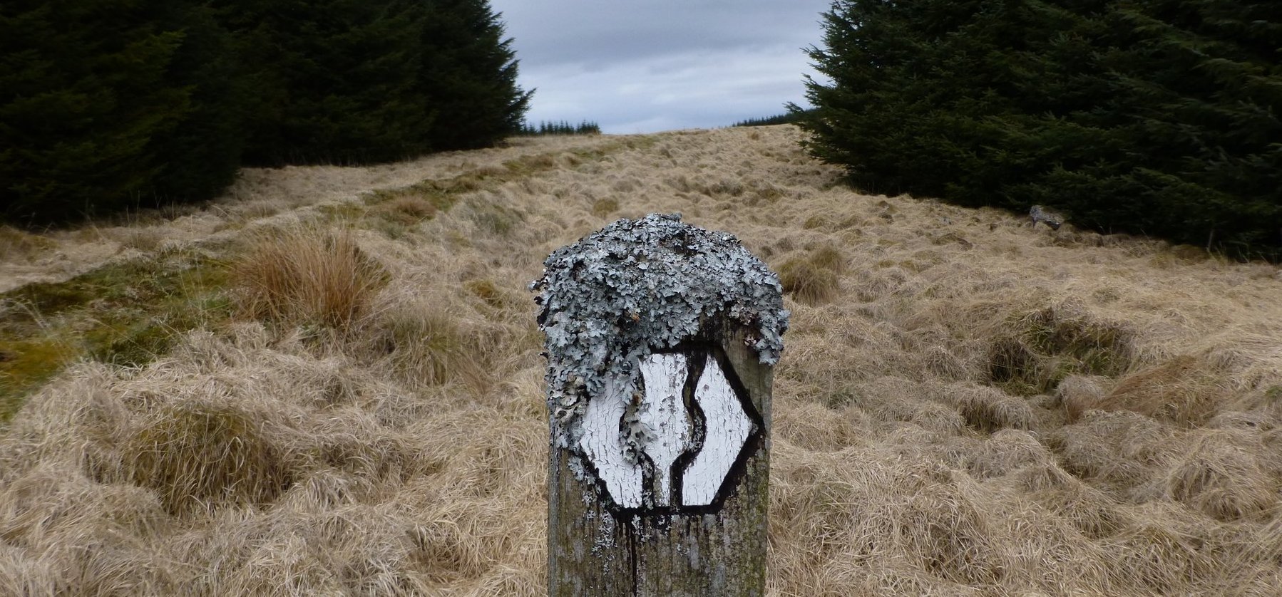
Southern Upland Way
The Southern Upland Way has some very long sections. These are typically addressed in one of three ways; you either face the fact that you’ve got a 27 mile day to do, you rely on lifts from service providers or your accommodation, or you need to carry the equipment to pitch a tent along the route, or take advantage of the bothies that can be found on the path.
I didn’t want to backpack the route and I didn’t want to use lifts, so I needed to be creative with my accommodation bookings and I had to be prepared for a couple of long days.
The worst section for accommodation is between New Luce and Sanquhar. A distance of about 75 miles. If you look at the SUW website, it suggests you do this in three hops; 19 miles from New Luce to Bargrennan, then 26 miles to St. Johns Town of Dalry (Dalry from now on) and then another 27 miles to Sanquhar. Now even if those days were flat, that’s a big ask. I don’t mind doing one marathon day on a long walk, but doing two, back to back was a daunting prospect.

You can use a vehicle support service, which picks you up about 8 miles before Dalry (there’s an official collection point beside Clatteringshaws Loch), you spend the night in the B&B and then the proprietor drops you off at the same point the next morning. You then walk through Dalry to about 8 miles the other side and the process is repeated.
As I didn’t want to use lifts, I decided to use this as a last resort. I hunted for alternatives and fortunately found one. A small B&B in a farm, about 2 miles from the path at about half way between Dalry and Sanquhar – called Nether Holm of Dalquhairn. This turns a 26 mile day into two fourteen mile days, which is much more acceptable.
You can reach the proprietors of this B&B with these details; email: susie_seed@yahoo.co.uk, telephone: 01644 460257, OS Grid Ref: NX 65525 99025. You leave the path just after the summit of Benbreak (at Cairn Hill in fact, grid ref: NX 68072 98835) and follow the wall down to the road. Returning the same way the following morning, or taking the minor road north, from the B&B to Lorg Bridge and using the Lorg Trail from there, beside the Water of Ken, through the forest to rejoin the SUW at grid ref NS 68370 01887. This route is supposed to be very boggy though, so I’m probably going to climb the hill again and rejoin the path where I left it the previous day.
3 thoughts on “Southern Upland Way 2013 – Initial Planning”
Co’path is about 20 miles from Berwick station which is on the east coast mainline. There are probably a few buses to Berwick as you will be very near the A1
Getting home from Co’path – one option would be to walk the John Muir Way along the coast to Dunbar to then catch train to Edinburgh.
Thanks David, not sure I could walk the additional mileage after the full day into Co’path, so pretty much relying on my son to pick me up. Saves me a days B&B that way as well 🙂