
Date: 2011-05-30
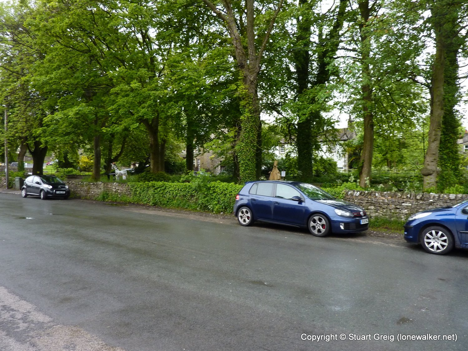
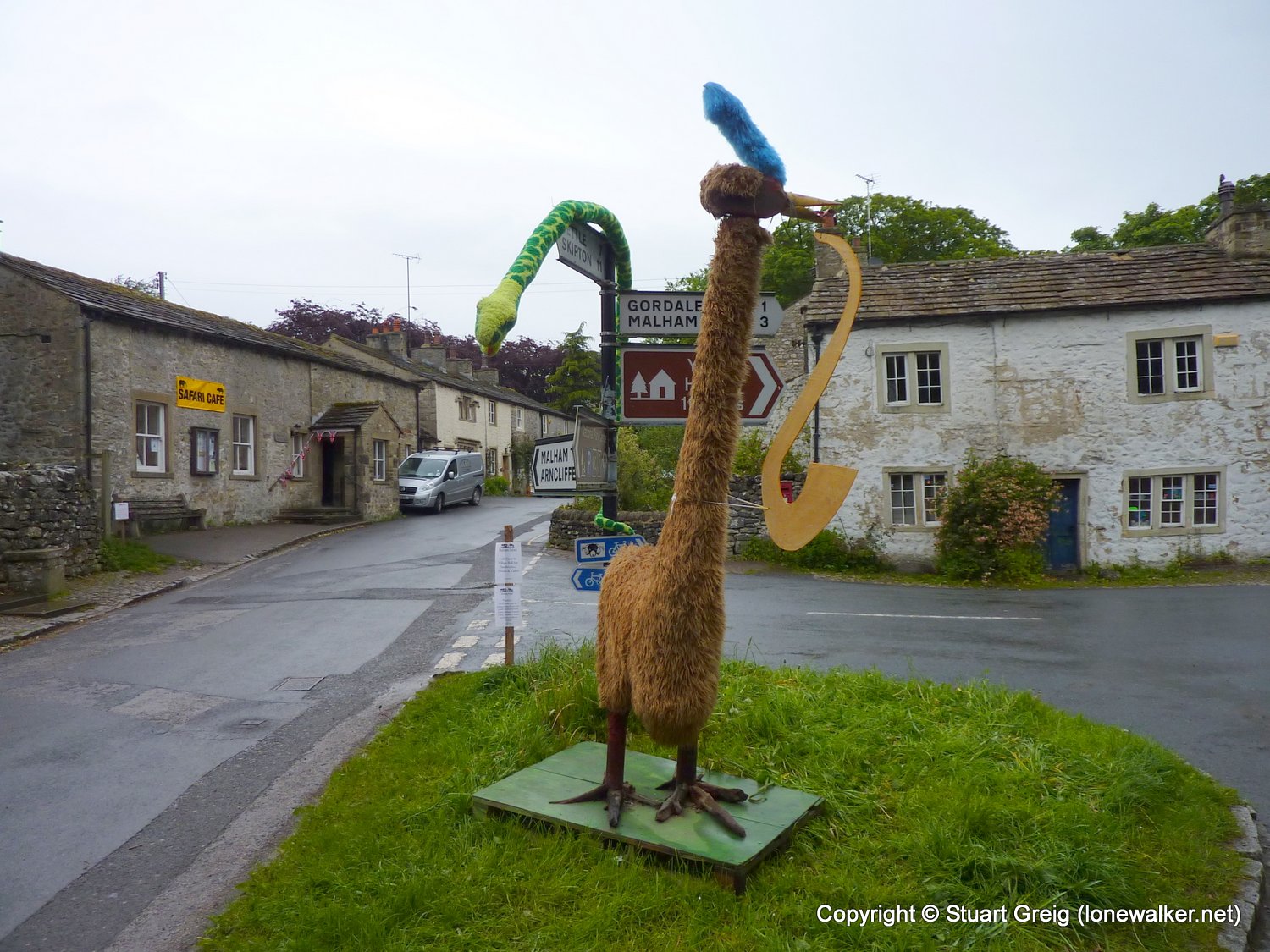
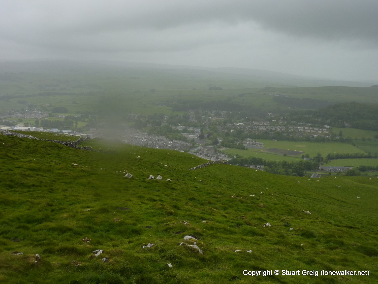
Start: Malham Finish: Malham
Distance: 12.5 mls, 20.12 km
Height Gain: 2300 ft, 701.0 m
Start Time: 06:41 End Time: 10:43
Duration: 04:02
Ave Speed: 3.1 mph
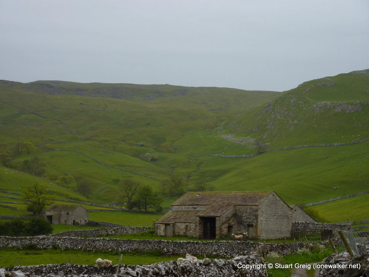
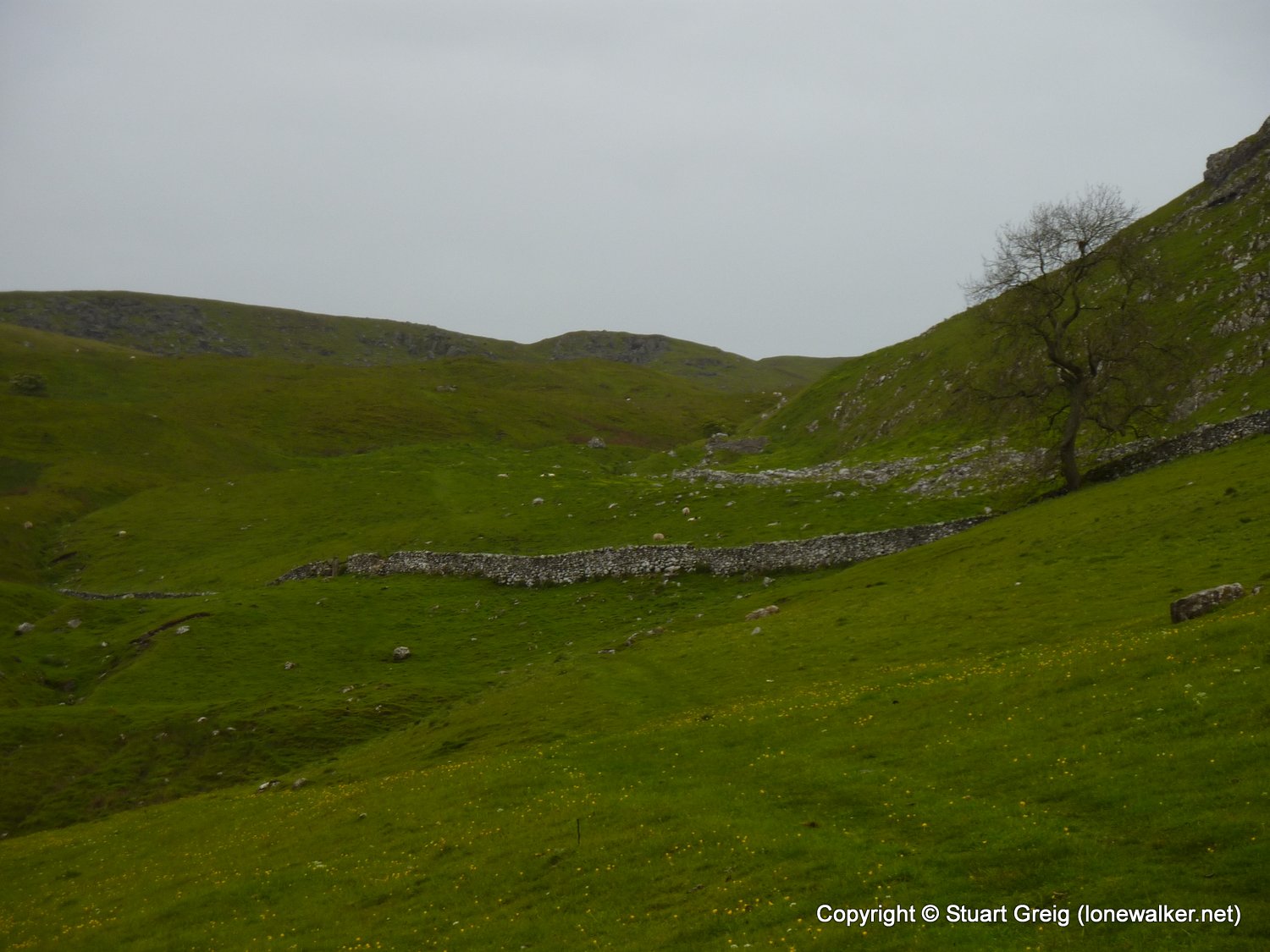
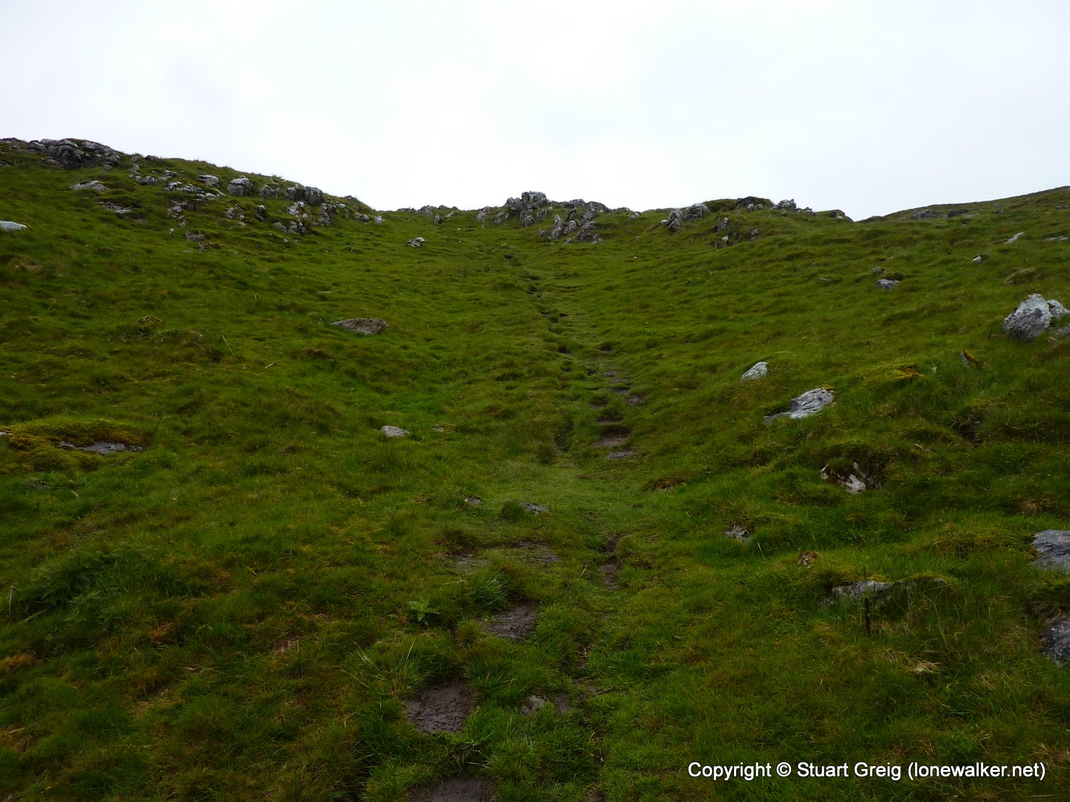
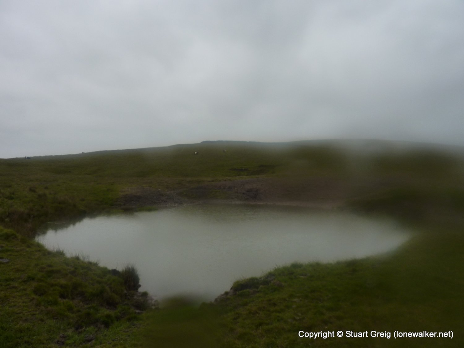
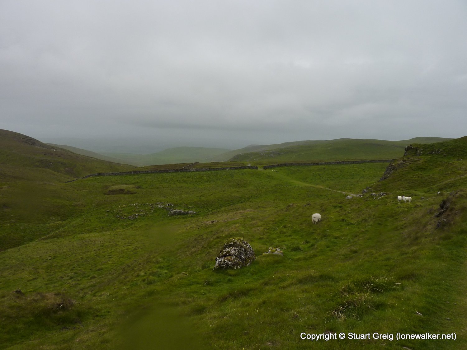
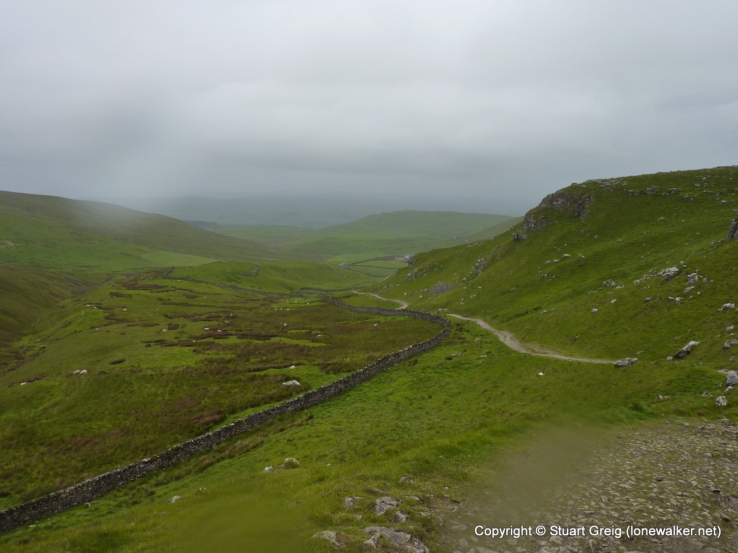
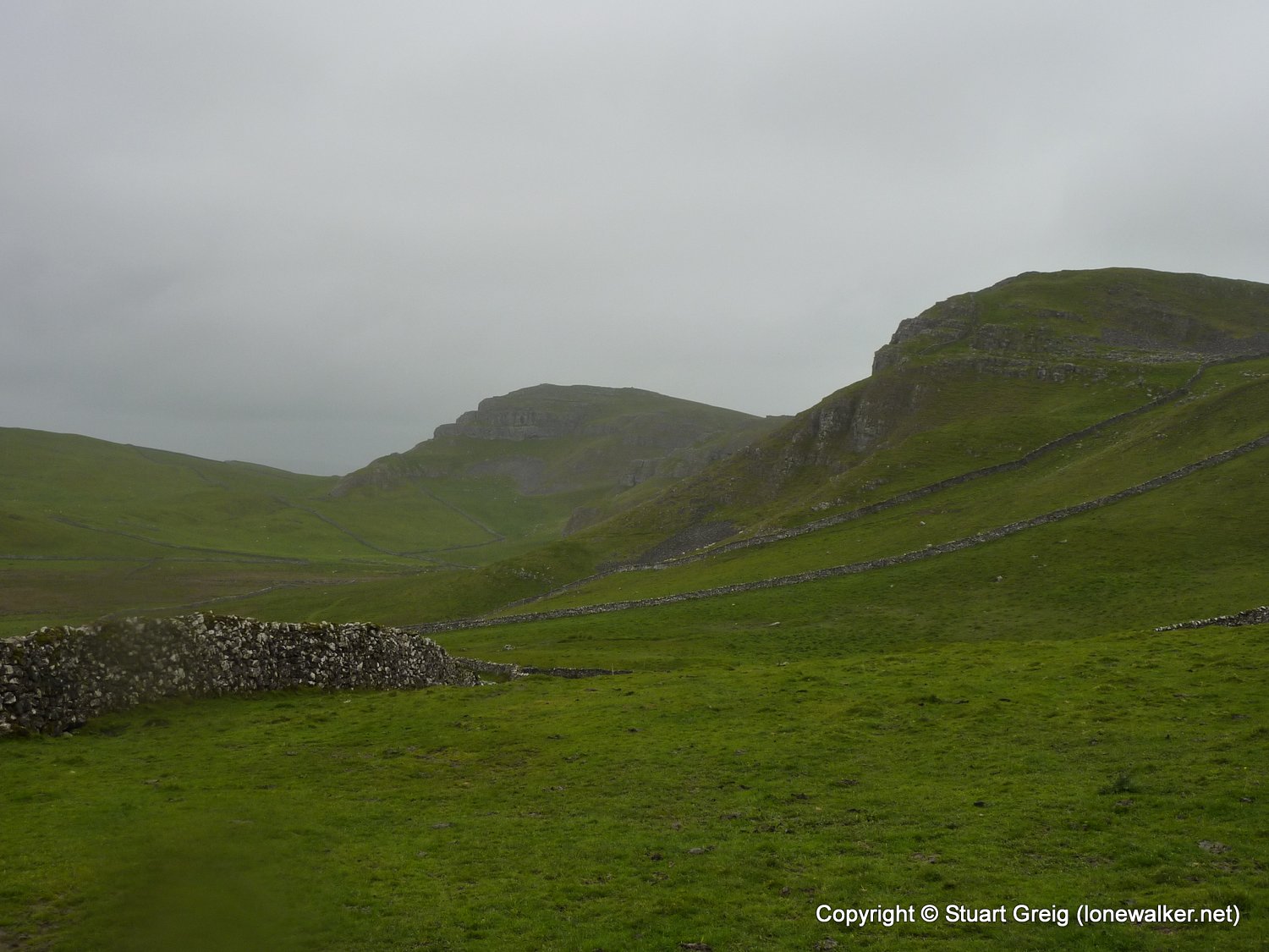
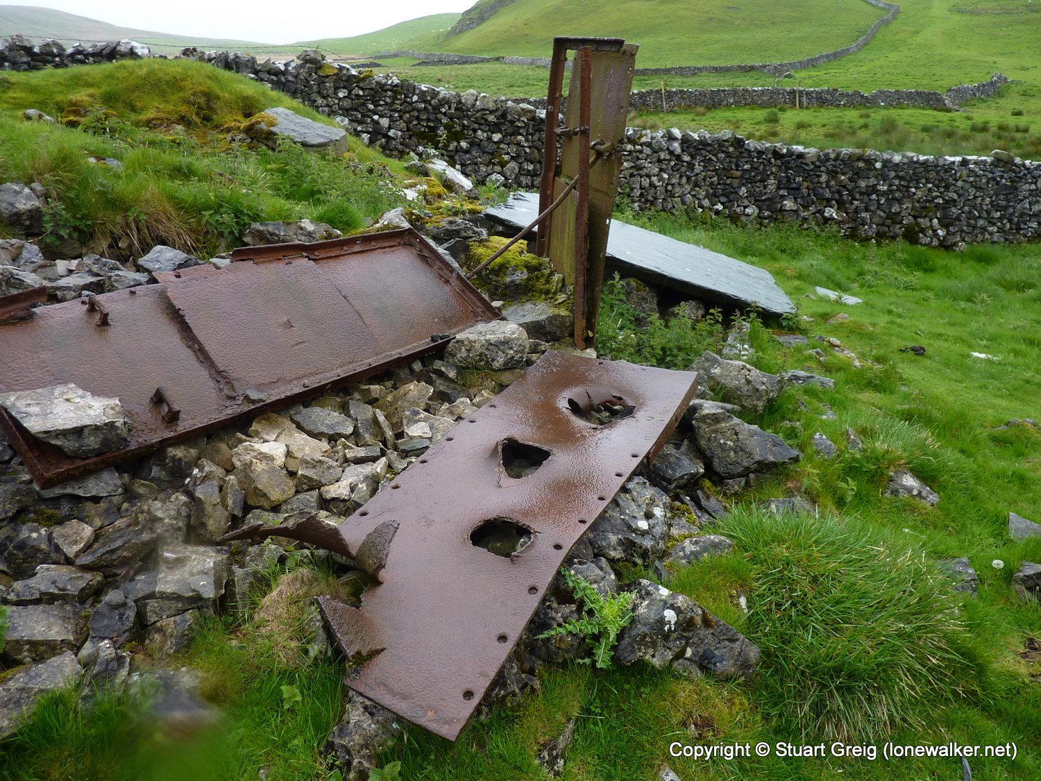
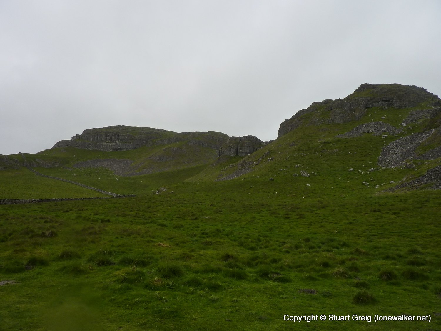
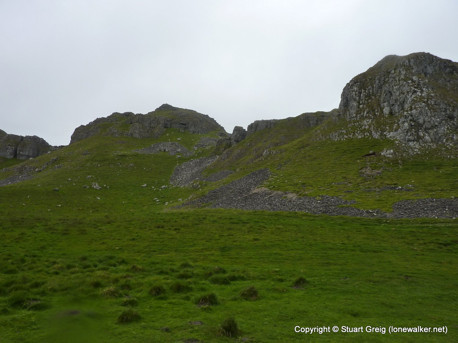
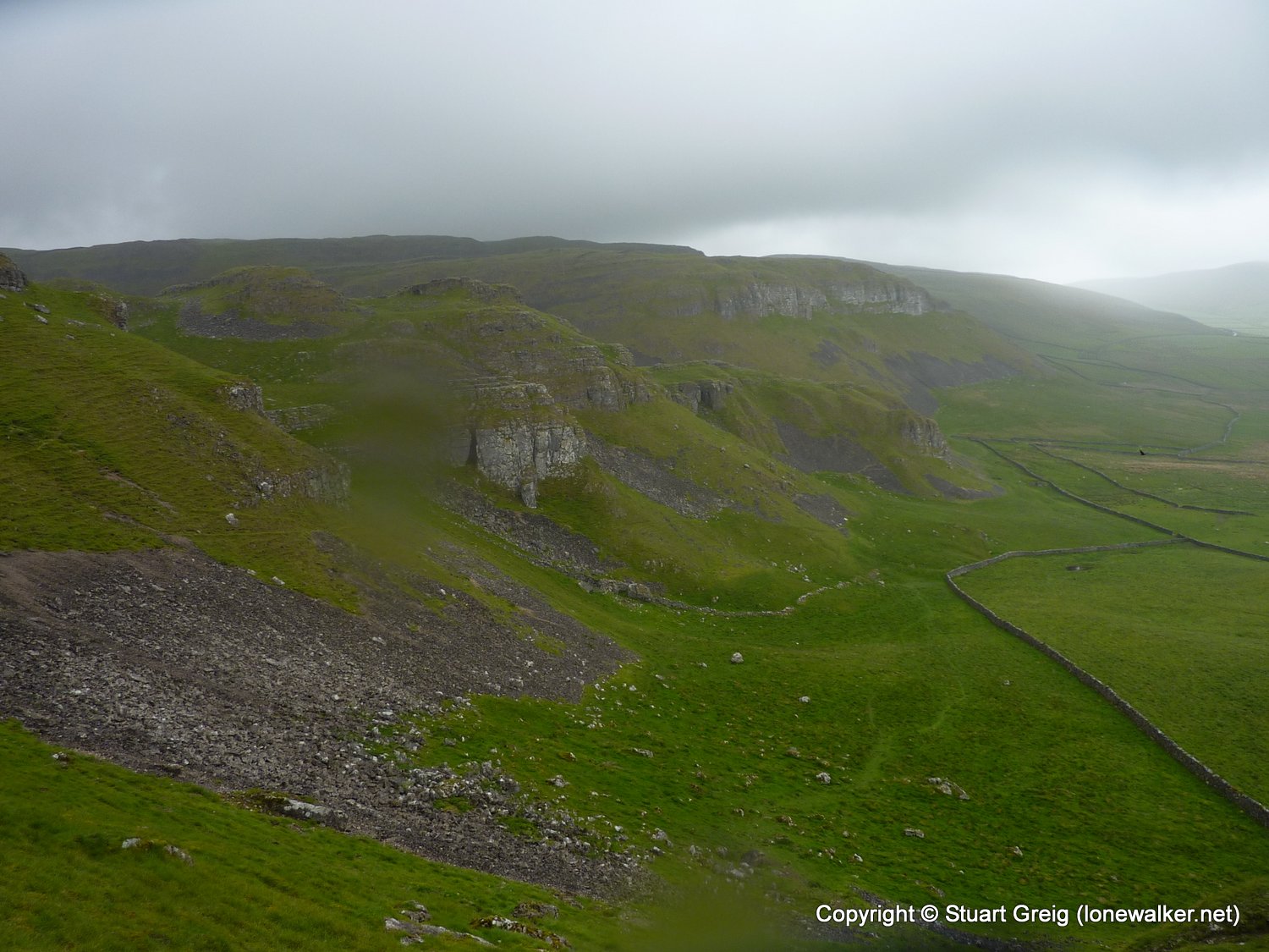
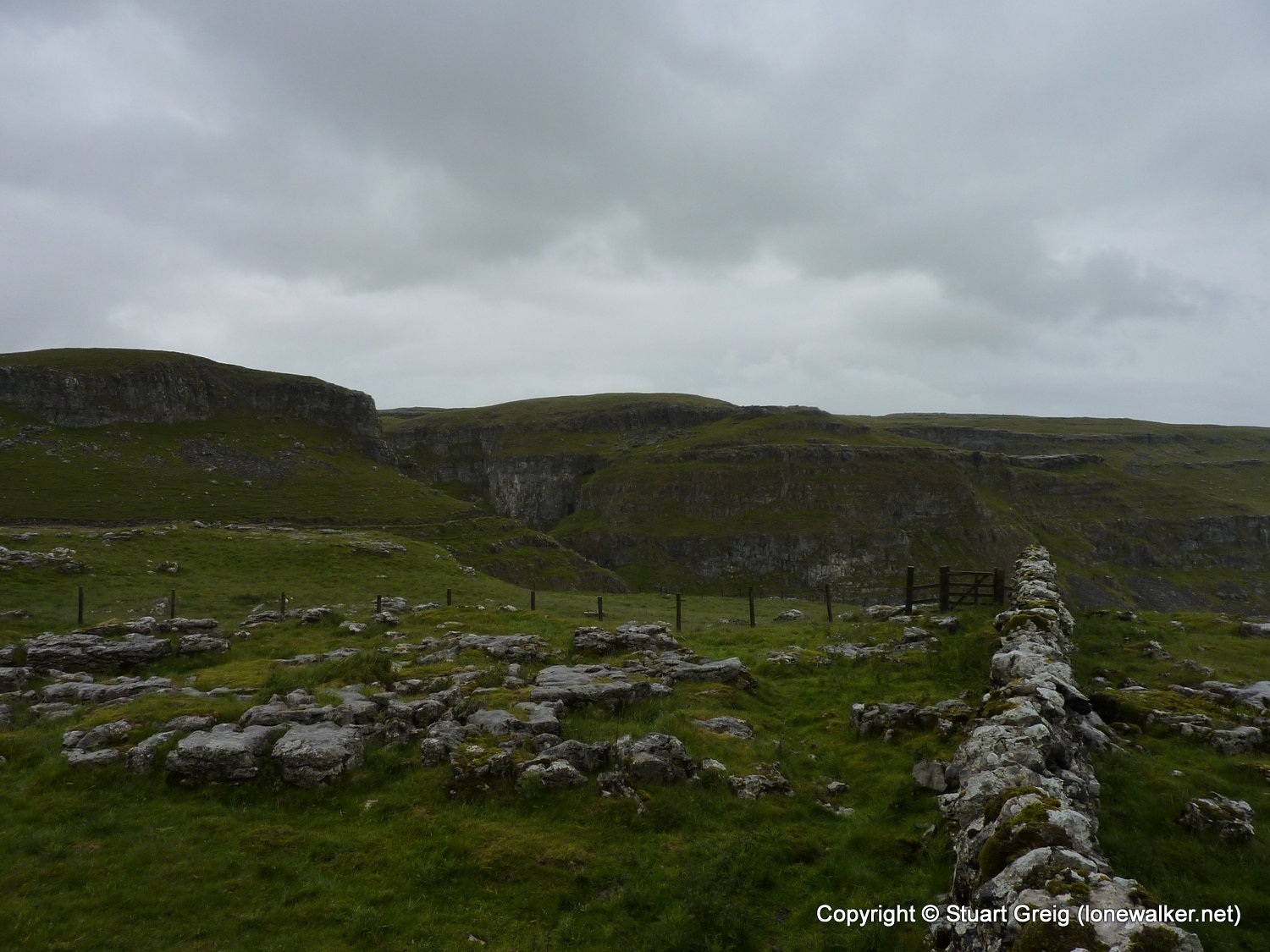
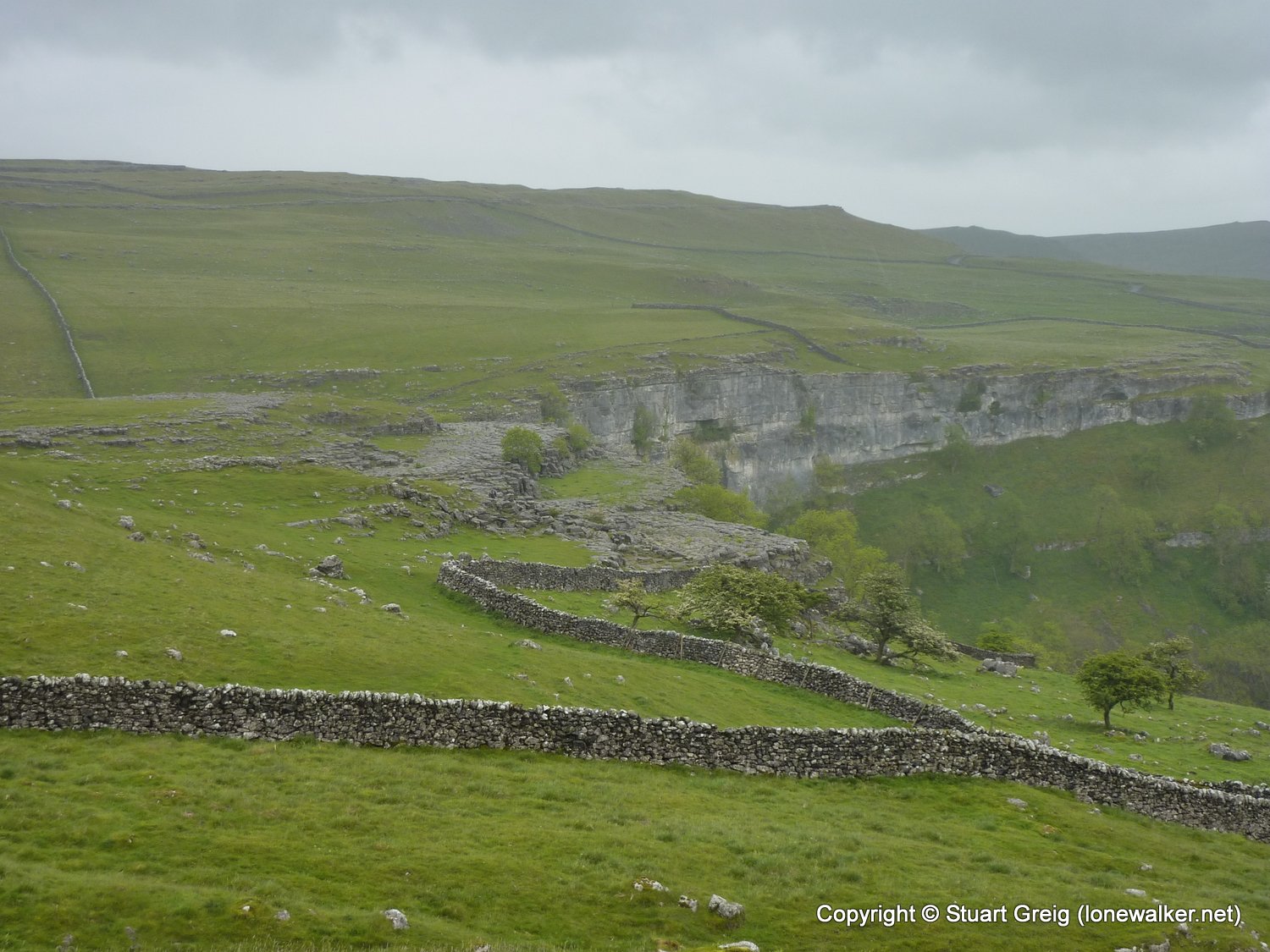
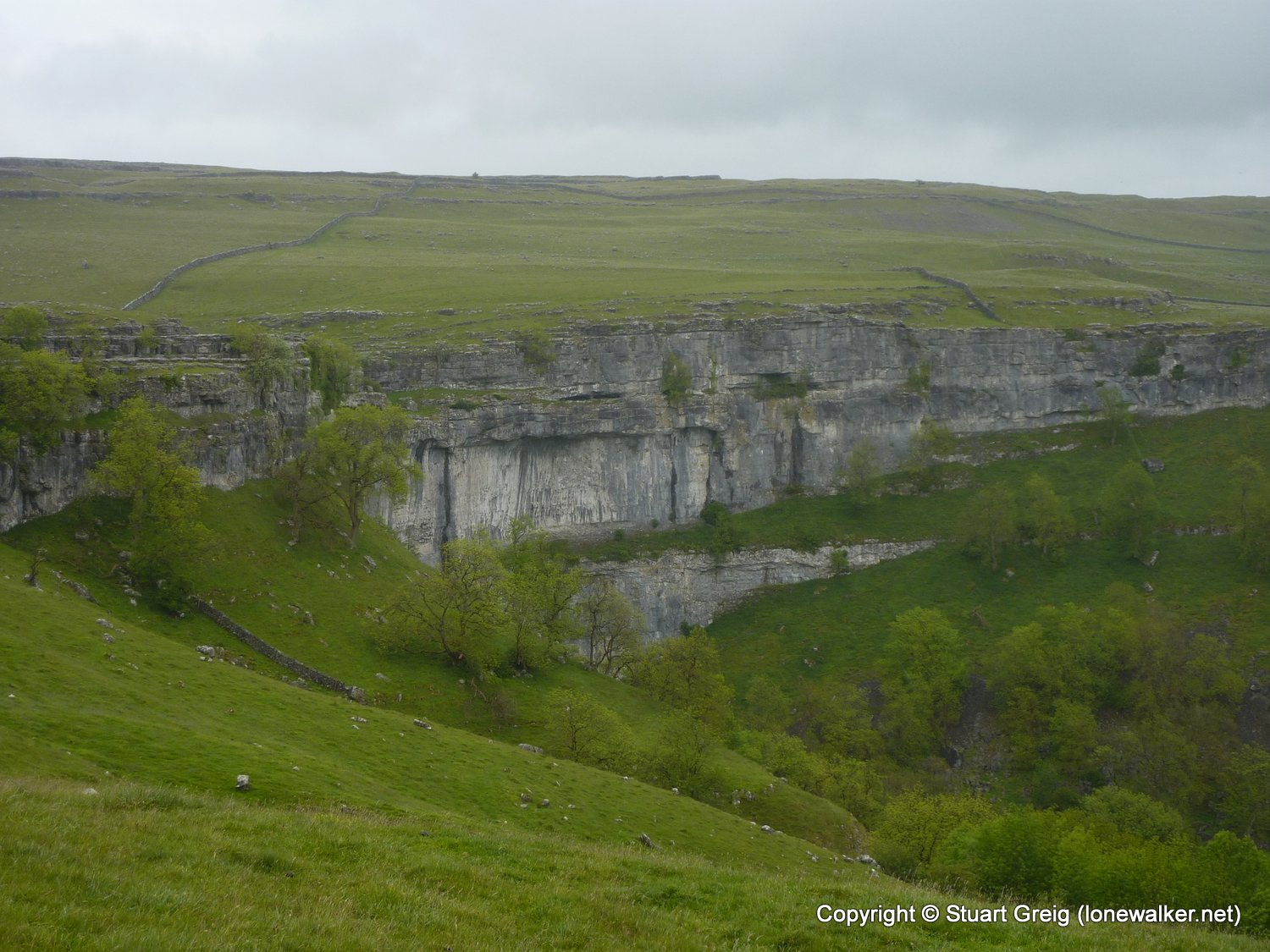
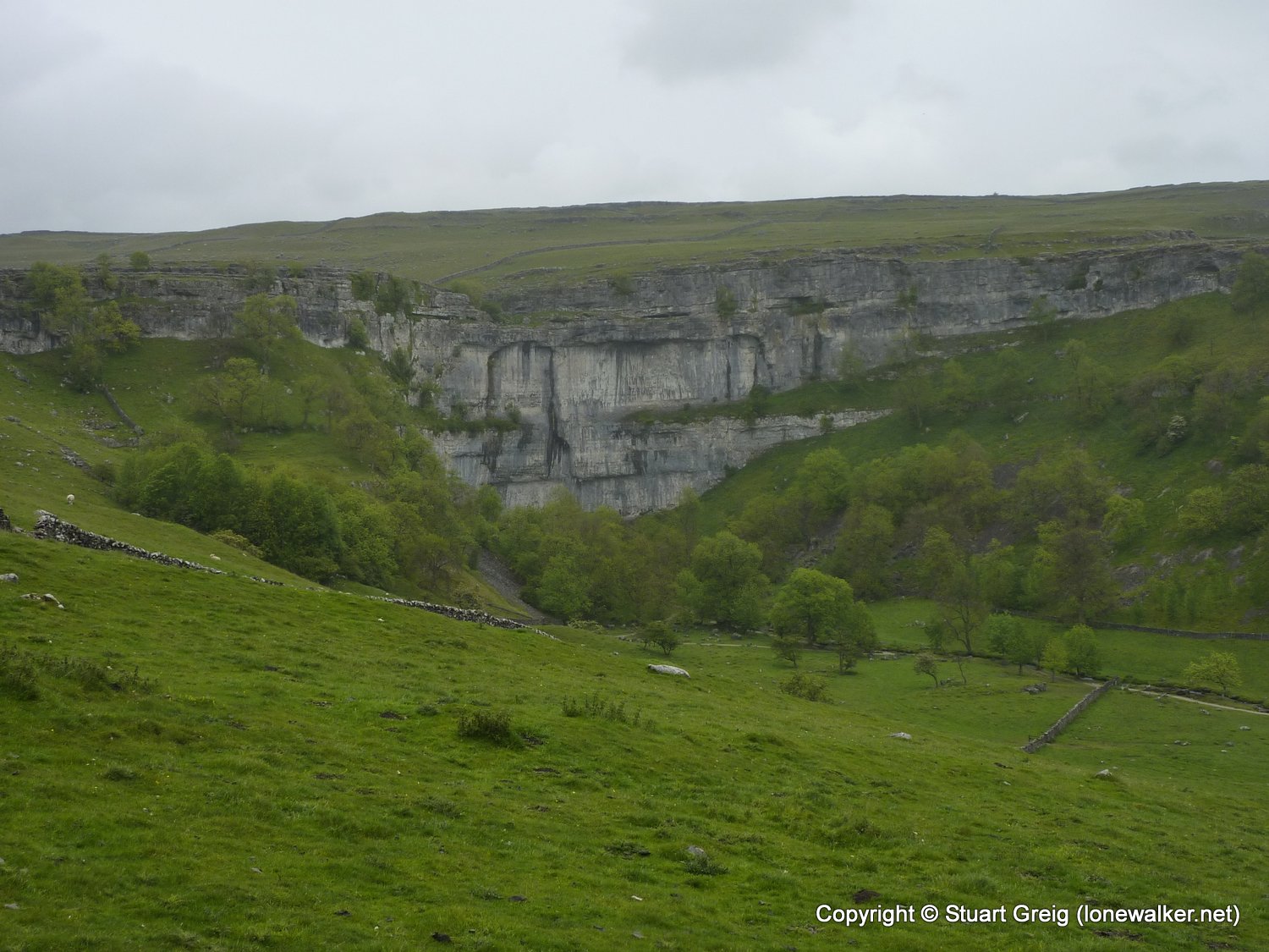
Region: Yorkshire Dales
Route Description: Malham, Butterlands Barn, Stockdale Lane, Warrendale Knotts, Jubilee Cave, Langcliffe track, Gorbeck, Langscar Gate, Cove Road, Malham
Parking Grid Ref: SD 90090 62780
View Parking space in: OS Map or Google Street View
Walking with: Alone
Long Distance Path:
Click any image to open the full screen photo gallery


Walk Name: Buckmoorend to Ivinghoe Beacon
Date: 2011-05-28
Distance: 16.0 mls, 25.75 km
Height Gain: 1800 ft, 548.6 m
Walk Name: Howgills aborted
Date: 2011-06-04
Distance: 3.2 mls, 5.15 km
Height Gain: 600 ft, 182.9 m