
Date: 2011-06-20
Start: Shap Finish: Patterdale
Distance: 16.5 mls, 26.55 km
Height Gain: 3800 ft, 1158.2 m
Start Time: 08:20 End Time: 15:50
Duration: 07:30
Ave Speed: 2.2 mph
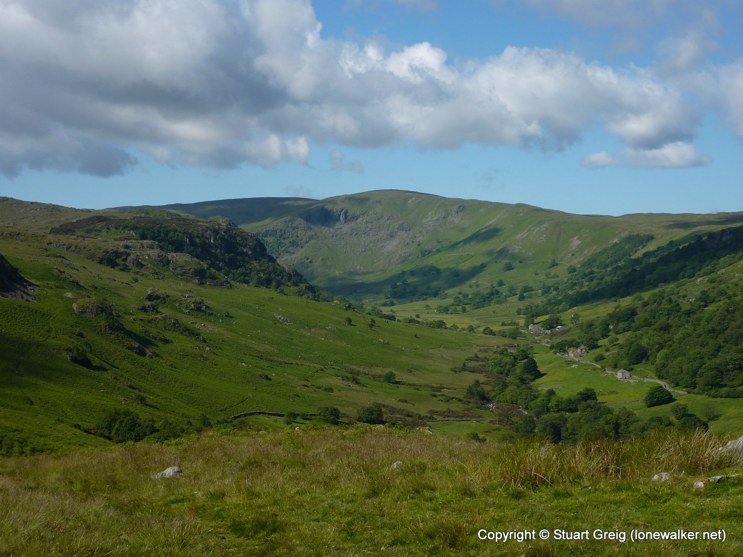
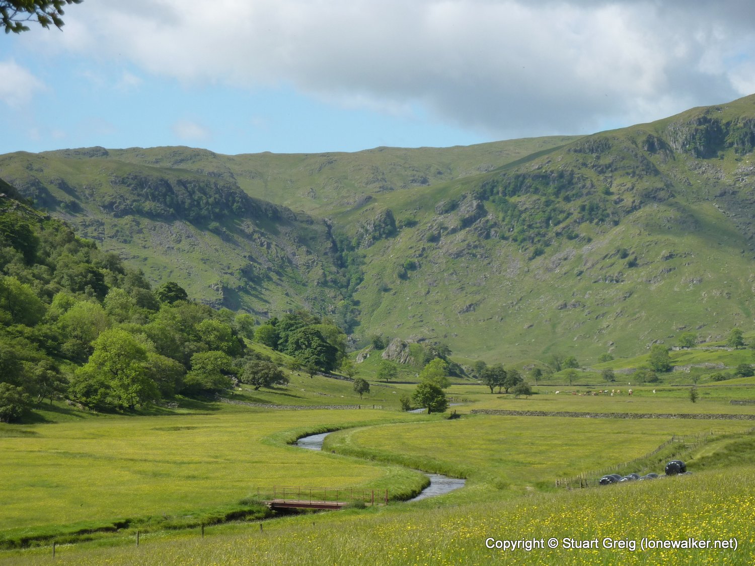
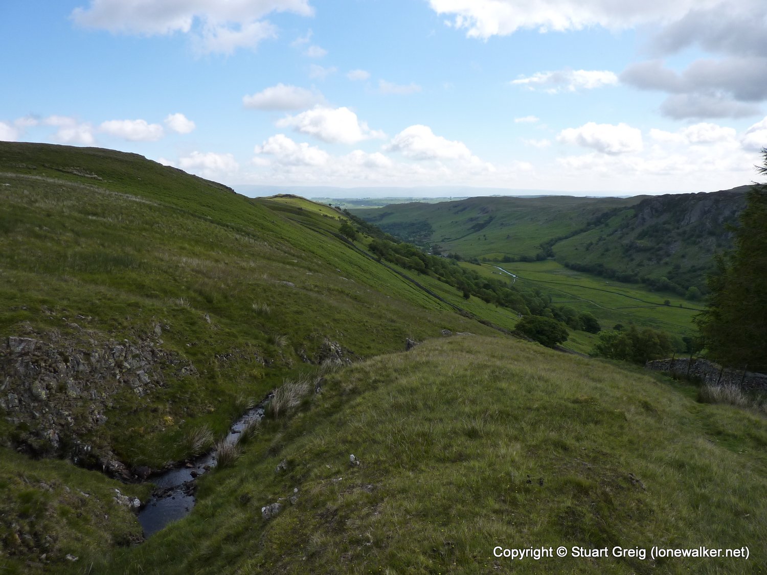
Region: Lake District
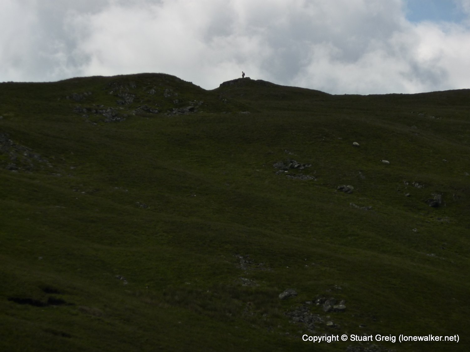
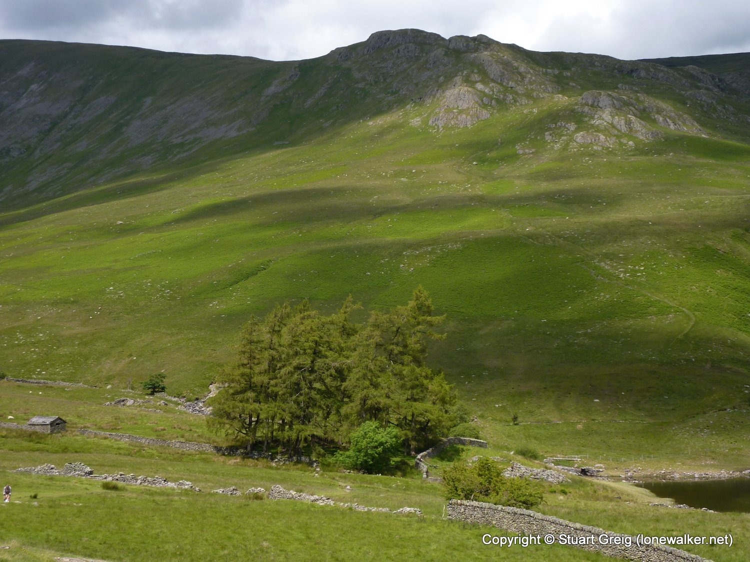
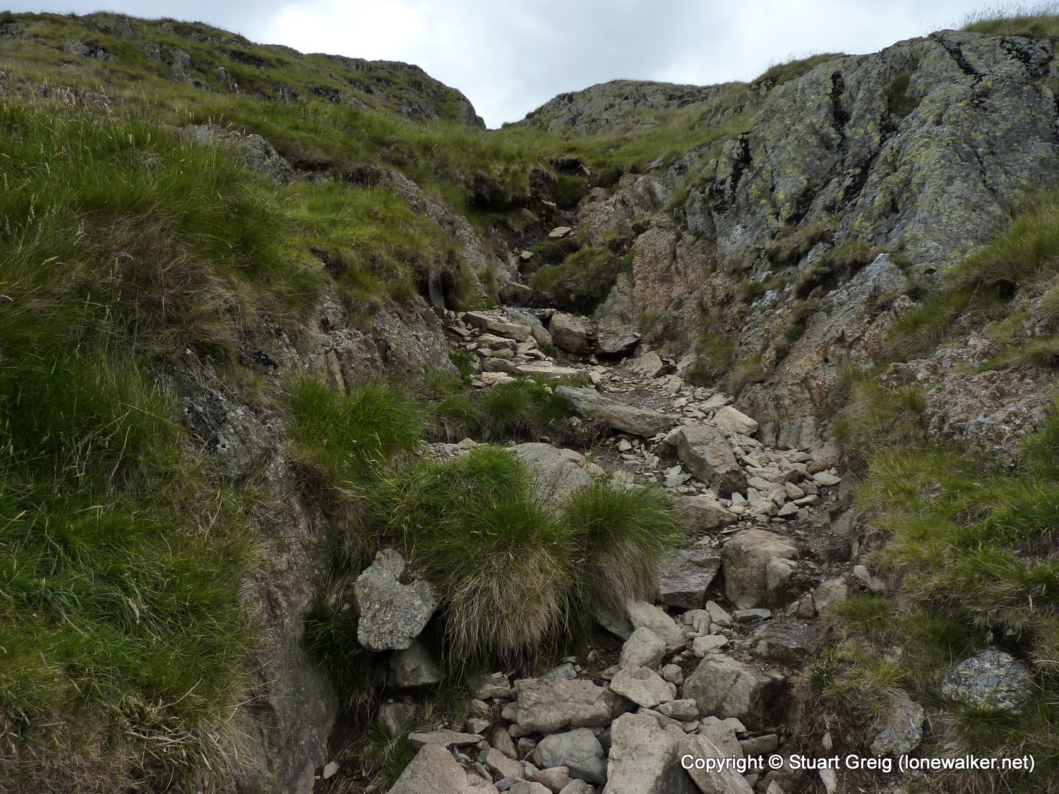
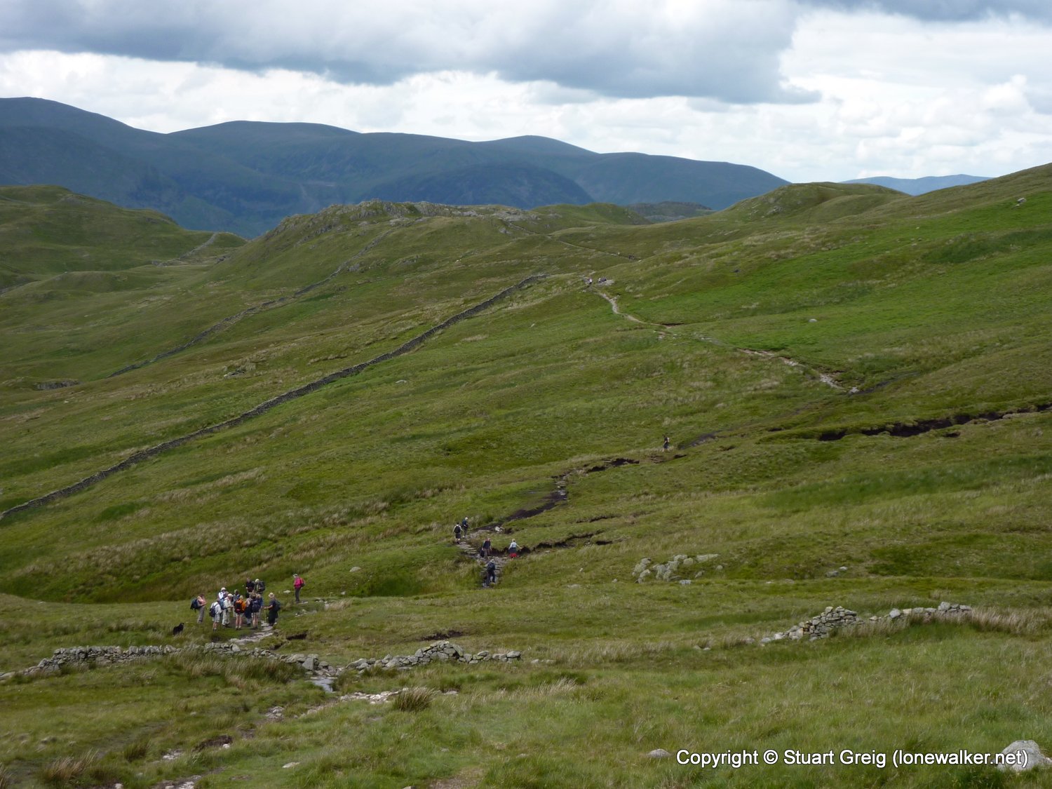
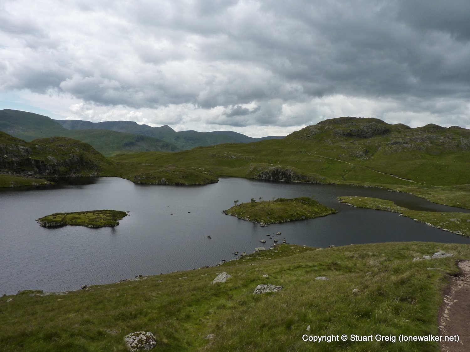
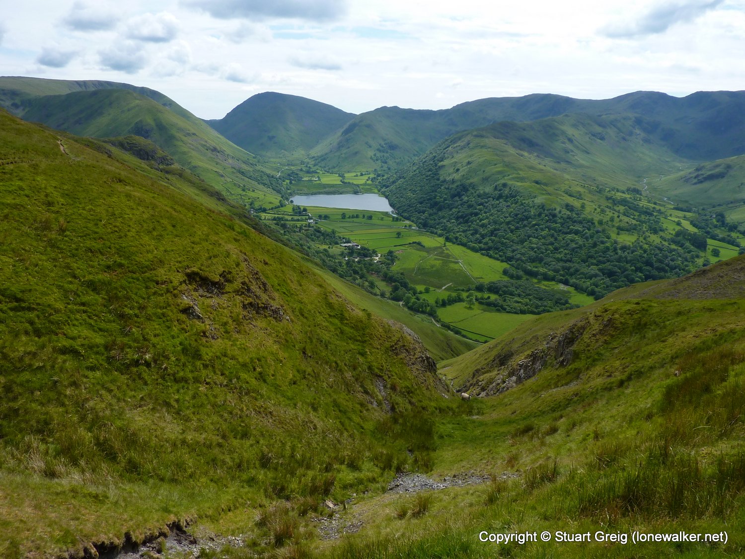
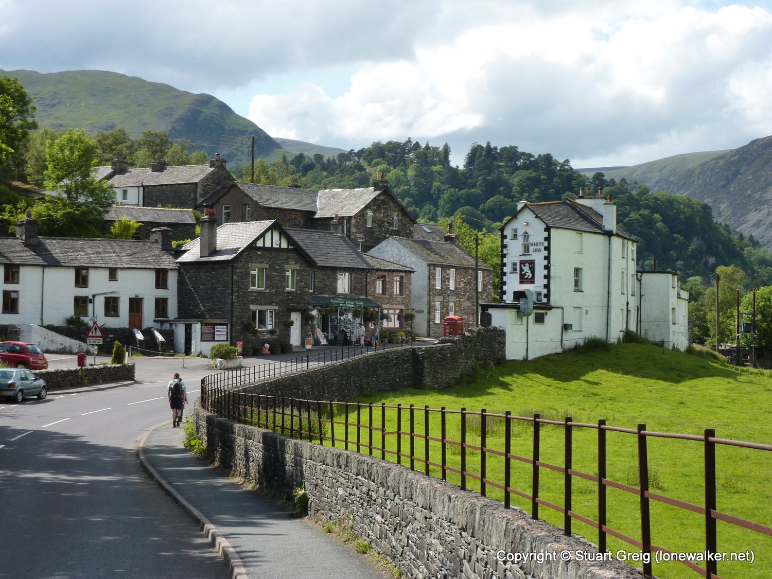
Route Description: Shap, Keld, Tailbert Farm, Swindale, Swindale Head, Old Corpse Road, Mardale Head, Kidsty Howes, Kidsty Pike, Satura Crag, Angle Tarn, Boredale Hause, Patterdale
Parking Grid Ref:
View Parking space in: OS Map or Google Street View
Walking with: Alone
Long Distance Path: Wainwright's Coast to Coast
Link to full Walk Report: https://lonewalker.net/my-long-distance-walks/coast-to-coast-2011/day-nine/
Download GPX file for this walk:
If your browser opens the file directly, right click and "Save As.."
Click any image to open the full screen photo gallery


Walk Name: Kirkby Stephen to Shap
Date: 2011-06-19
Distance: 19.5 mls, 31.38 km
Height Gain: 2200 ft, 670.6 m
Walk Name: Patterdale to Grasmere
Date: 2011-06-21
Distance: 7.2 mls, 11.59 km
Height Gain: 2600 ft, 792.5 m