
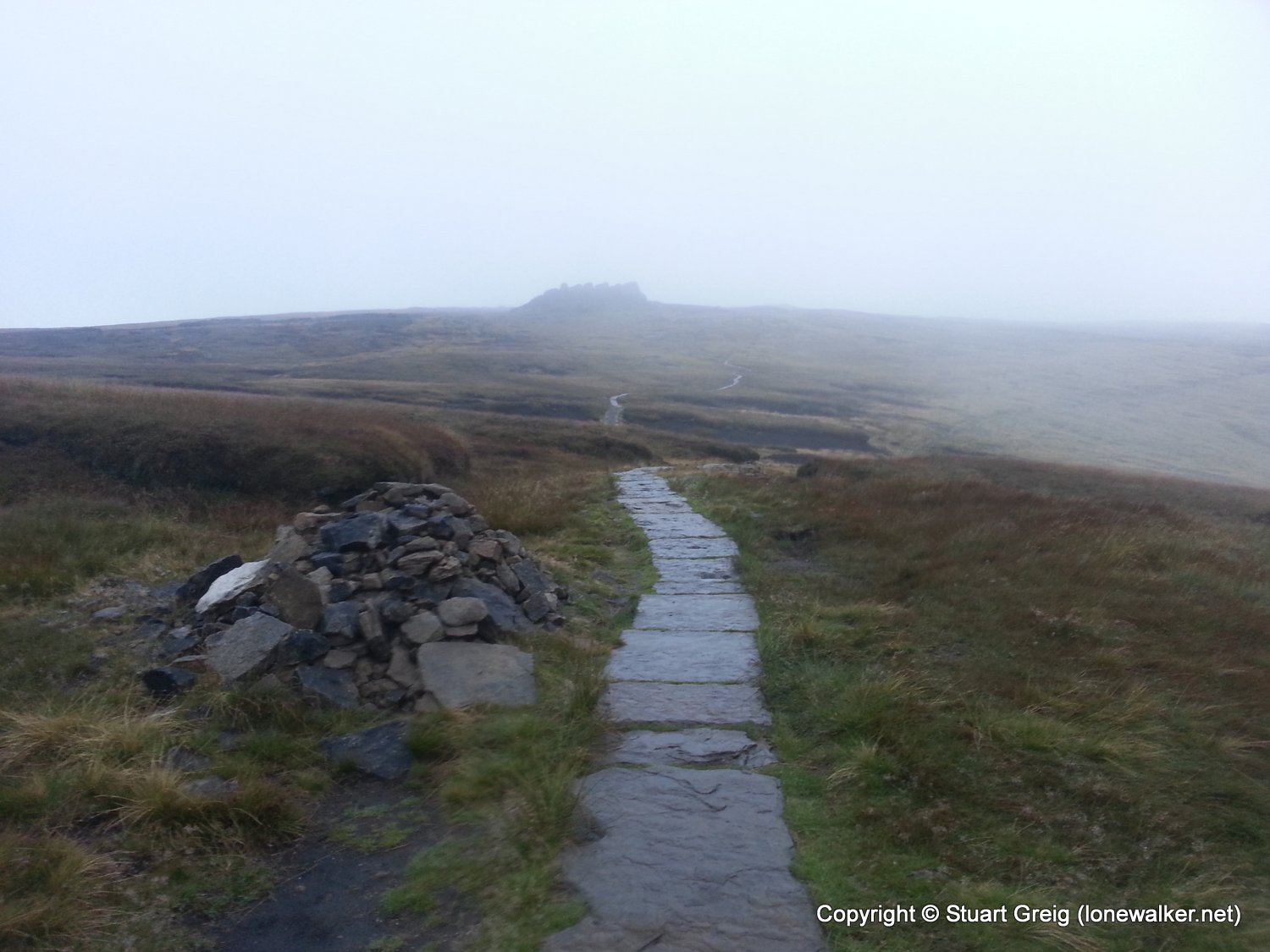
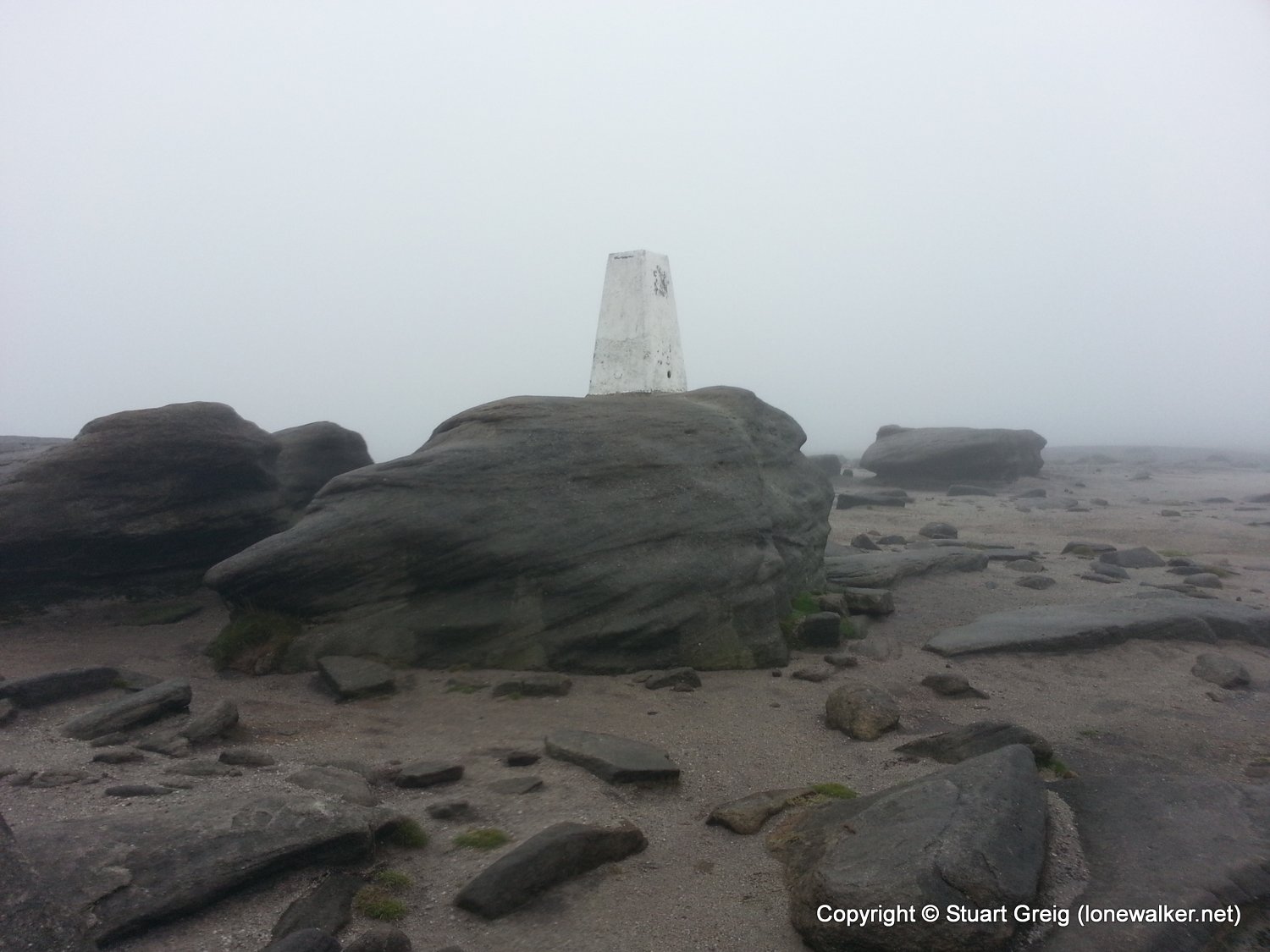
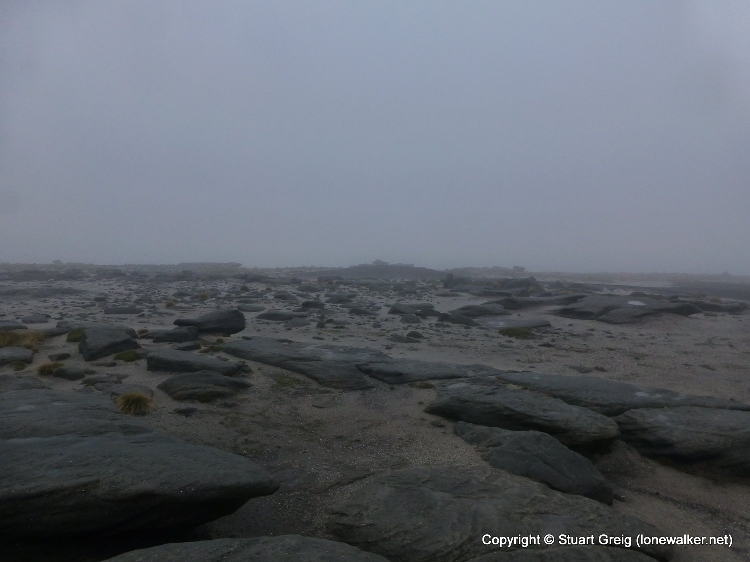
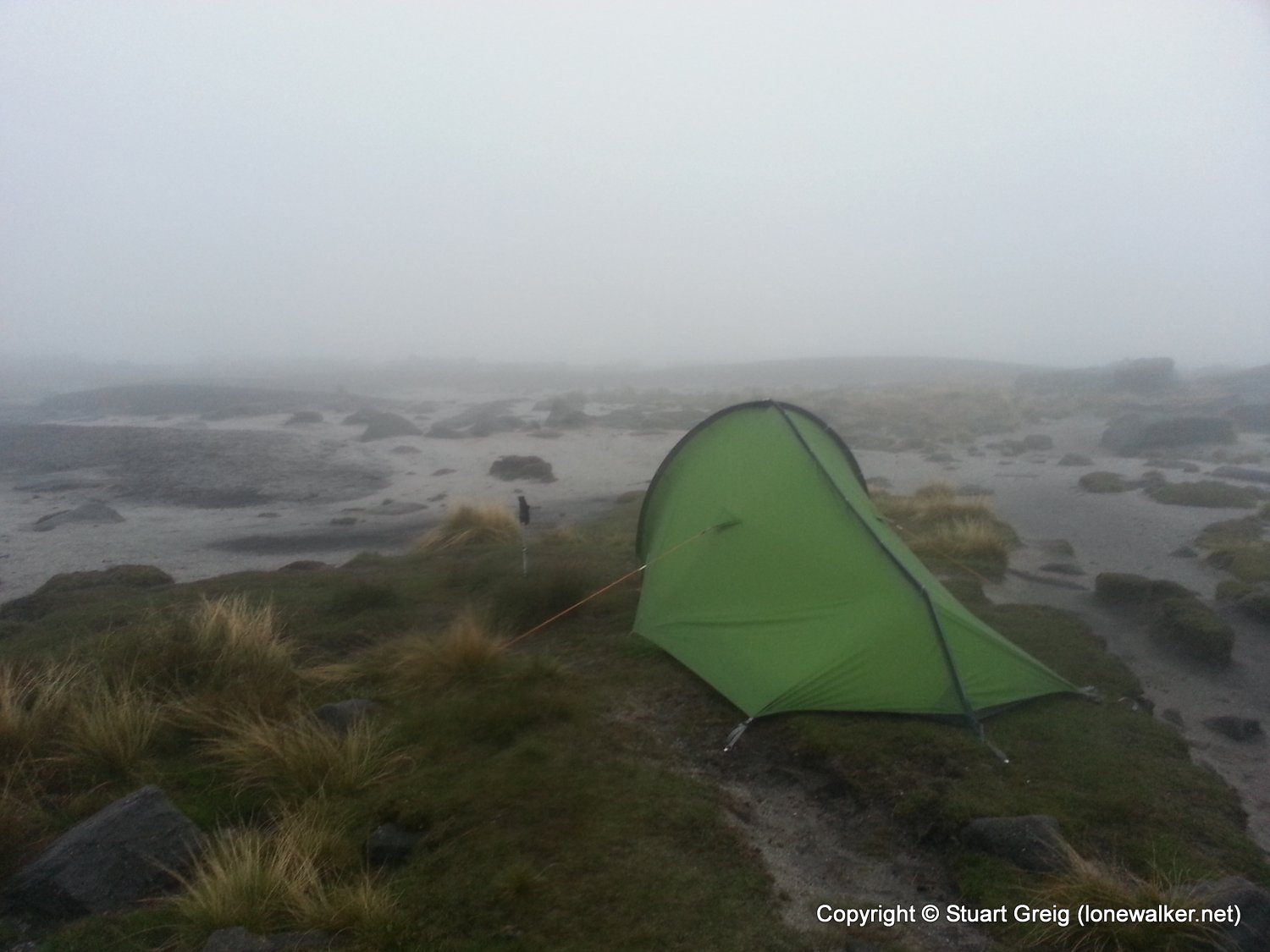
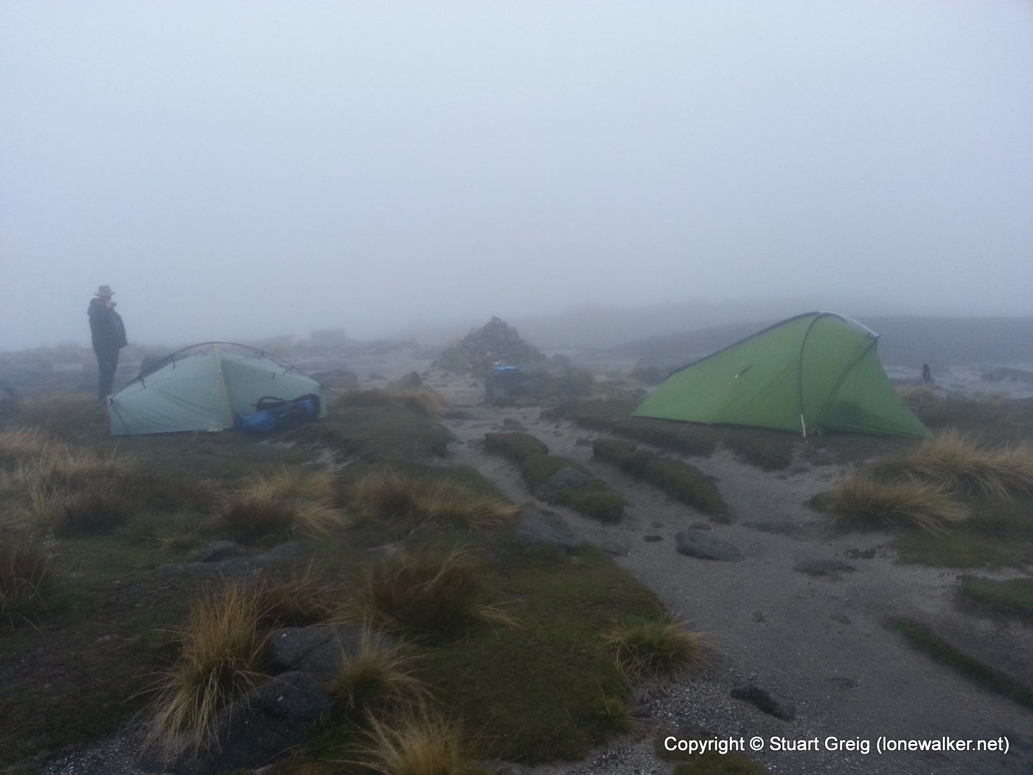
Another section of the Pennine Way this weekend, but I also had some company on this trip - Matthew King (@hillplodder on Twitter). The forecast was disastrous; rain, rain and more rain, so to be honest I wasn't looking forward to an overnight pitch on the top of the Kinder plateau. In the end though it was a but chilly, foggy and we suffered only a fine mizzle during the night. We had an excellent pitch, very comfortable (until my air mat decided to deflate) and close to the Kinder Low trig point.
Date: 2013-09-06
Start: Edale Station Finish: Kinder Low
Distance: 4.9 mls, 7.89 km
Height Gain: 1700 ft, 518.2 m
Start Time: 15:30 End Time: 18:30
Duration: 03:00
Ave Speed: 1.6 mph
Region: Peak District
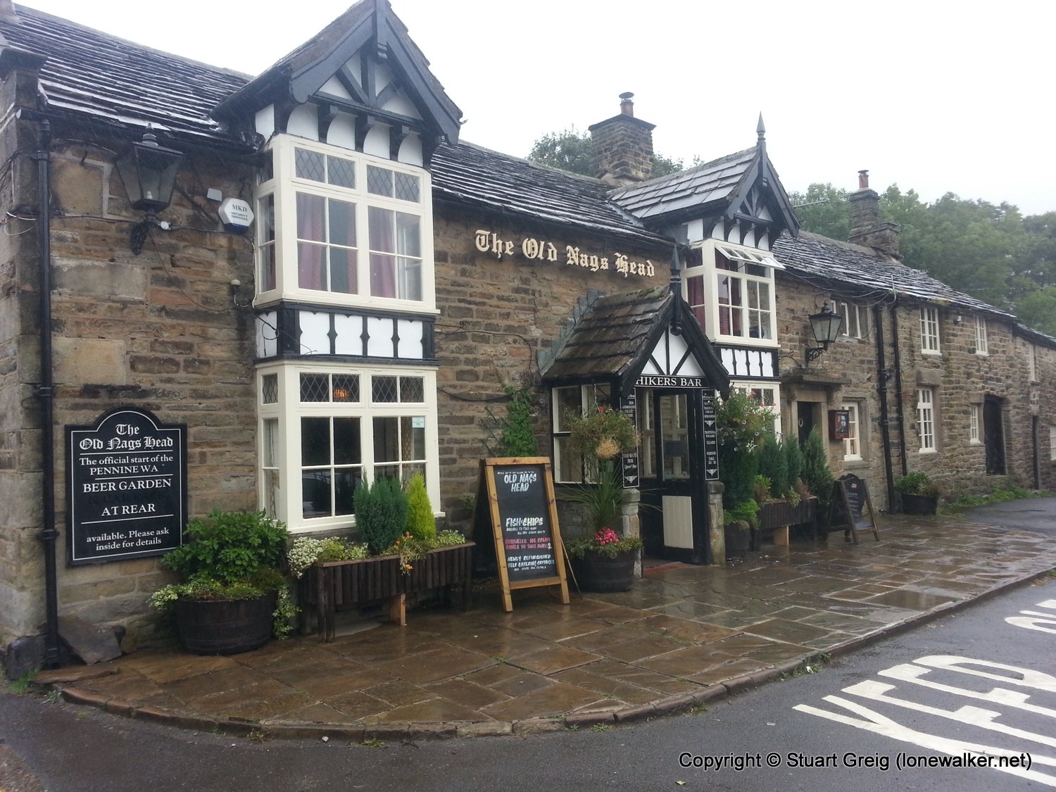
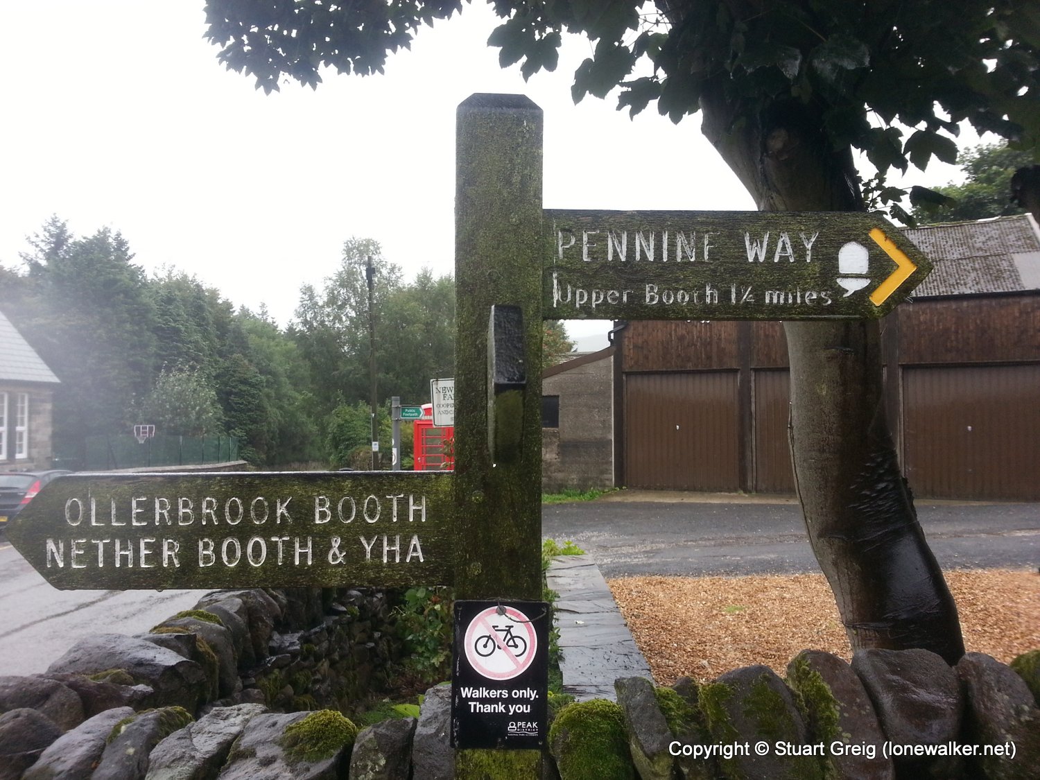
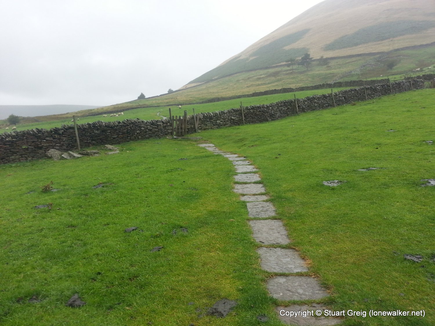
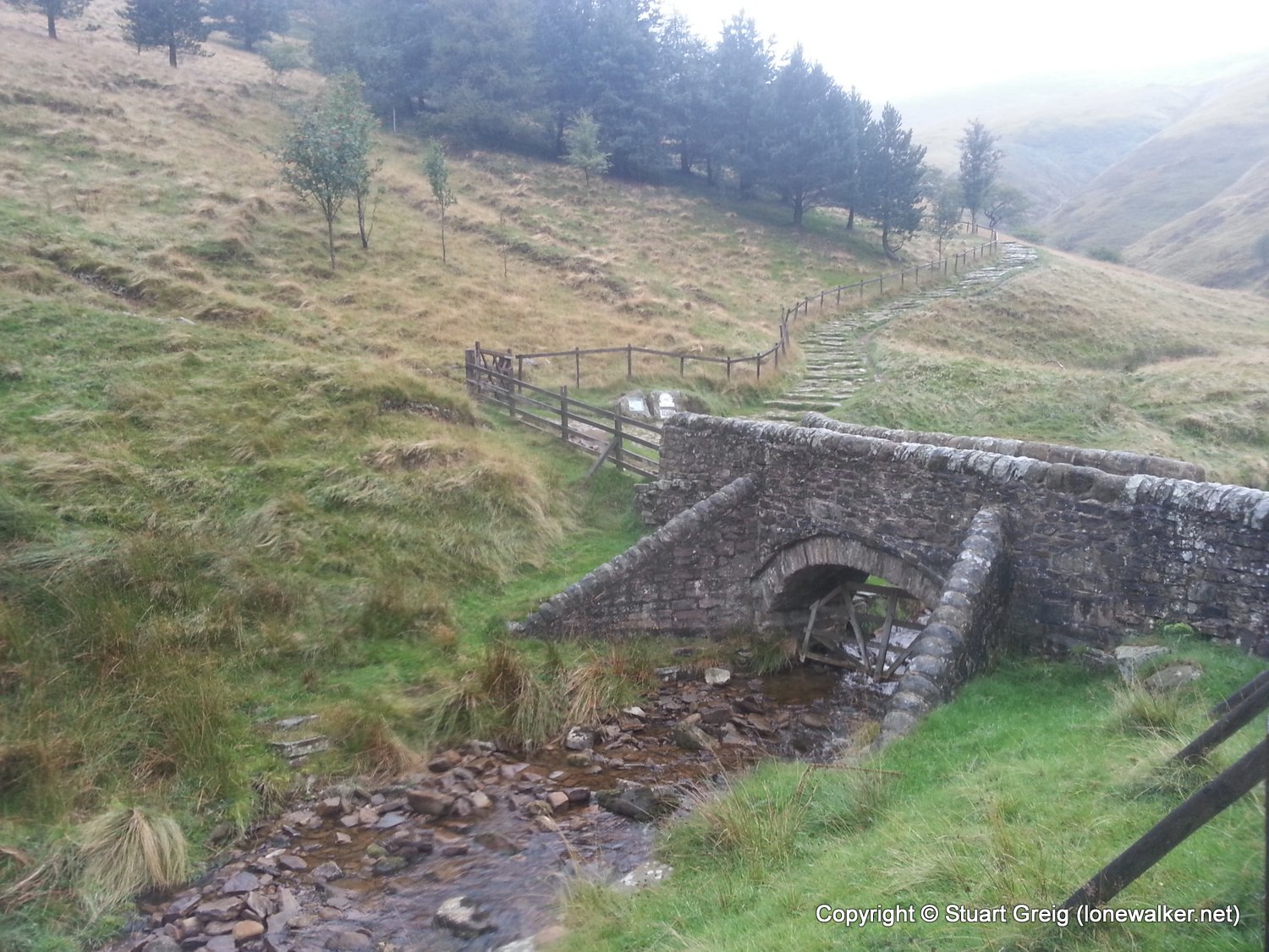
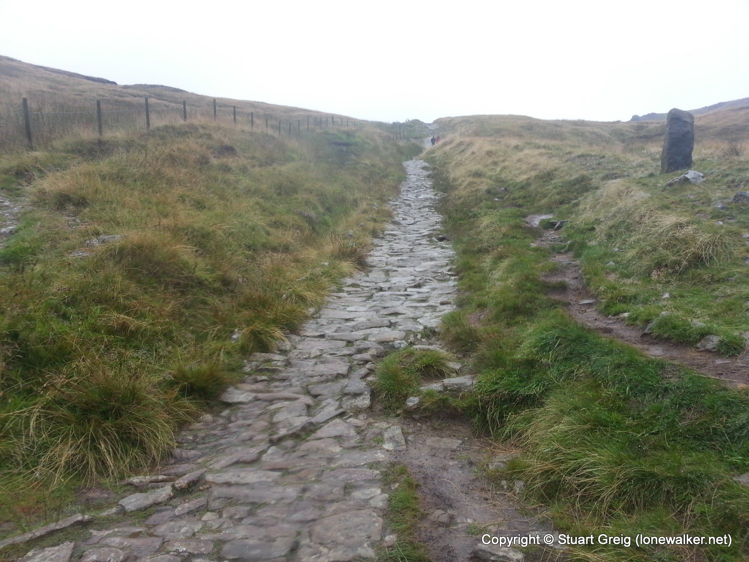
Route Description: Edale Station, Edale, Upper Booth, Jacob's Ladder, Kinder Low
Parking Grid Ref:
View Parking space in: OS Map or Google Street View
Walking with: Matthew King
Long Distance Path: Pennine Way
Link to full Walk Report: https://lonewalker.net/a-weekend-sacrifice/
Download GPX file for this walk:
If your browser opens the file directly, right click and "Save As.."
TP4216 - Kinder Low (Good condition)
Click any image to open the full screen photo gallery
Walk Name: Horton to Cam End
Date: 2013-08-31
Distance: 9.6 mls, 15.45 km
Height Gain: 1400 ft, 426.7 m
Walk Name: Kinder Low to Red Ratcher
Date: 2013-09-07
Distance: 16.6 mls, 26.72 km
Height Gain: 2300 ft, 701.0 m