Although I’m not actually walking the whole of the Cape Wrath Trail, the 100 mile section I am doing will form the backbone of my long distance walking plans for 2016, so it seems only right that I address it with a couple of planning posts.
In some ways the planning for this walk is much easier than my usual long walks and in other ways it’s a lot more complicated. Transport and route planning are the simplest parts, accommodation planning is almost non-existent, but I need to give some serious thought to kit and food.

Getting To and From
I’ll be walking with Chris Pilgrim, who is undertaking the whole route; from Fort William to the lighthouse at Cape Wrath, but I can’t spare the time that would take, so I’m joining Chris on the 29th April, at the point where the trail crosses the A835, at Inverlael, a few miles south of Ullapool. I’m saved a public transport nightmare only by the fact that Chris is undertaking a similar nightmare, as he’ll be leaving a car at the northern terminus and then getting a series of trains and buses to the southern end. That means that when we arrive at the Cape, he can drop me back at my car, which I’ll be leaving in Ullapool. This has to be one of the easiest ‘transport planning’ exercises I’ve done in recent years and a huge debt of thanks is owed to Chris! The only thing I need to arrange, is a bus from Ullapool to the road junction at Inverlael. A service runs that way and the timetable matches my needs, so this should be job done. Failing that, I have a 7-8 mile walk along the busy road.
The Route
In terms of route planning, I have very little to do. The Cape Wrath Trail isn’t signed and doesn’t even use established tracks in many places, but the route is Chris’s choice, it’s his walk after all and I have no plans to influence his decision on the route he wants to take. There are a couple of alternatives open to us at the northern end, but for once, I’m feeling really relaxed about letting someone else decide where I walk. I’ve studied the guide book and the route, so I know what to expect – I’m not going to blindly follow Chris along the route, but I also don’t feel the need to ‘lead’ as I normally do!
I’ve booked a certain amount of time off work, so I have that window in which to finish the walk, but other than that we’ve made no plans on where we’ll stop each day or how much distance we need to cover. I have a maximum of nine days to cover the 100 miles, so we can take it fairly easy and we have enough time in hand to sit out a bad day’s weather if we need to.
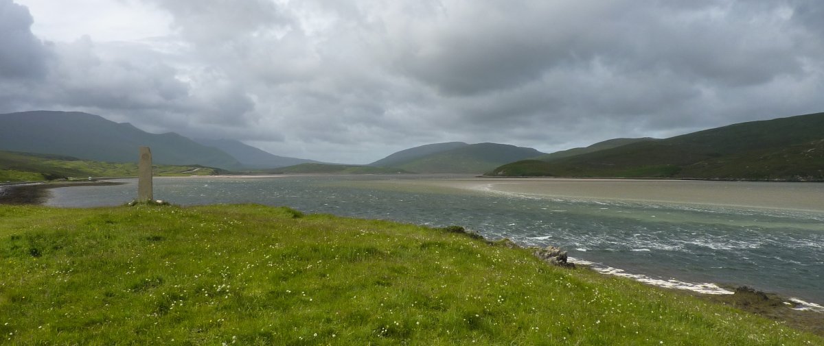
The ferry that takes us across the Kyle of Durness is only tiny and it’s subject to the weather, so there’s always the chance we may have to wait for that too. I visited the area a couple of years ago on a road trip in July and the ferry had been cancelled, so I guess it’s just as likely to be so in May.
If we have time on our side, I want to walk from the Cape to the ferry, with a possible overnight stay in the bothy at Kervaig. There is a minibus that covers the same route, but I’m treating that as a last resort – it’s only a few miles.
Accommodation
Although there are some possible accommodation stops along the route, this is typically a backpacking trip and that’s how Chris and I will be tackling it. This will be a new experience for me; I’m much more used to doing 2 or 3 day walks with my tent – 8 or 9 days backpacking will be a big step up. My tent is great; it’s roomy, it goes up in one, it has loads of porch space, but it does tend to flap in the wind and it’s not the lightest (albeit 1.9Kg isn’t exactly heavy!).
We are also planning to use bothies where these are available and where they are situated conveniently towards the end of a day. A bothy is a mountain shelter, usually a small wooden or stone-built hut, open to anyone who needs to use it. A number of these shelters are scattered across the Scottish Highlands, maintained by the Mountain Bothies Association, on behalf of their owners, with the understanding that they are available to all. Facilities within can vary, some have nothing more than a roof and a raised wooden sleeping platform, most have a fireplace, others may have bunk beds, chairs and tables, or even a toilet!
Kit & Food
I’m going to split this into two separate posts. I’ve had a serious rethink about my kit for this trip and food is even more of an issue for me, so I think I need a bit more space to discuss them.
11 thoughts on “Cape Wrath Trail – Planning”
Kervaig is a must…..it’s the most stunning location ever! I’m a little envious of your plan. I hope you enjoy it! Top choice of tent by the way 🙂
Thanks Pete, I’m looking forward to a night there, providing we have time. If I’m asked to name my favourite bit of kit, it’s always my tent, I got very lucky there, which makes the search for a replacement all the more difficult.
I did the CWT out of season back in 2004, and the mini bus wasn’t running as the lighthouse cottage wasn’t occupied back then. I walked out to Durness, but through the bombing range and forgot to call in at the last pill box. When I got to the ferry slipway and phoned across, I found out the ferry wasn’t running either. Had a rough walk out around the loch head and thumbed a lift from a passing Range Rover. Turned out to be three high ranking forces officials on their way to watch a naval exercise off the coast. They were not too happy either. Apparently some ‘idiot’ backpacker was lost out somewhere on the range and holding up the whole proceedings.
Haha, probably best not to own up to that one 🙂 Our fall-back plan is to walk around the Kyle if we run out of time waiting for the ferry.
It’s a rough old walk that via the Kyle, slopes of knee deep ankle twisting heather. Fingers crossed for the ferry.
I’ve wanted to spend a night at Kearvaig bothy since walking there from the lighthouse four or five years ago; it’s the best location for a bothy I’ve seen. The walk along the cliffs is spectacular and the river crossing to the beach below the bothy is simple. I’m quite envious!
On the map it looks to have a similar sort of location as Camasunary, which I visited but didn’t stay in while I was walking the Skye Trail, so hoping for good weather so we can wander down to the beach for a paddle 🙂
Be interested in how you’re going to keep your electrical devices charged up Stuart
Good call – I’ll add that into the Kit post 🙂
Very interested in your upcoming planning posts!
No pressure then 🙂