The Decision
Originally written: Wednesday, December 12th, 2012
I think it probably took me longer to decide on this year’s long distance path, than it has taken me in any previous year. It’s normally in front of mind in early summer and on the planning table by September. I then make bookings in early December/January for a walk in late April/early May. This year, it wasn’t until 12th December that I finally decided which path I was going to do.
Since finishing the Skye Trail in May 2012 I had pretty much had my heart set on returning to the Pennines and re-visiting the Pennine Way, I enjoyed it so much last time it seemed like a great decision. I had other irons in the fire that also meant a return to the Pennine Way would be the right thing to do.
However, as the year progressed I felt I needed to walk somewhere new, somewhere just as remote and challenging as the Pennine Way, but somewhere I’d not been before. The Skye Trail was majestic, but I was using a fixed base of operation for that walk and that left me feeling somewhat unsatisfied, so I also had to return to a continuous linear path. Eventually the “other irons” that had been leading me towards the Pennine Way, fell through, so it became even less compelling.
I have had a route on file for several years now, one I keep dragging out and blowing the dust off and one that I keep putting off for another year – but this time I won’t be putting it back in the box – I’ll be using it. I’m doing another Coast to Coast crossing!
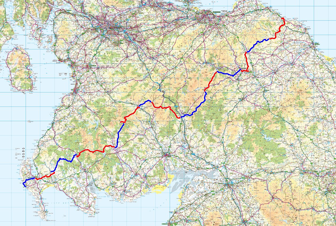
No, not Wainwright’s C2C again, this time I’m walking Scotland’s official C2C route – the Southern Upland Way or SUW as it may be called in places.
In the next few pages I will cover the planning process for the walk . I begin walking on 28th April 2013 and will be taking 14 days to cover the 212 miles or so of the trail. As usual, I will be blogging along the way, using whatever WiFi I can leech from my accommodation and the sporadic 3G signal I expect to get along the route.
Southern Upland Way 2013 – The Path
What is the Southern Upland Way? The Southern Upland Way is the
Southern Upland Way 2013 – Initial Planning
Now that the actual path has been selected, I can start making

Southern Upland Way 2013 – Accommodation
With the route planned at a high level and the number of

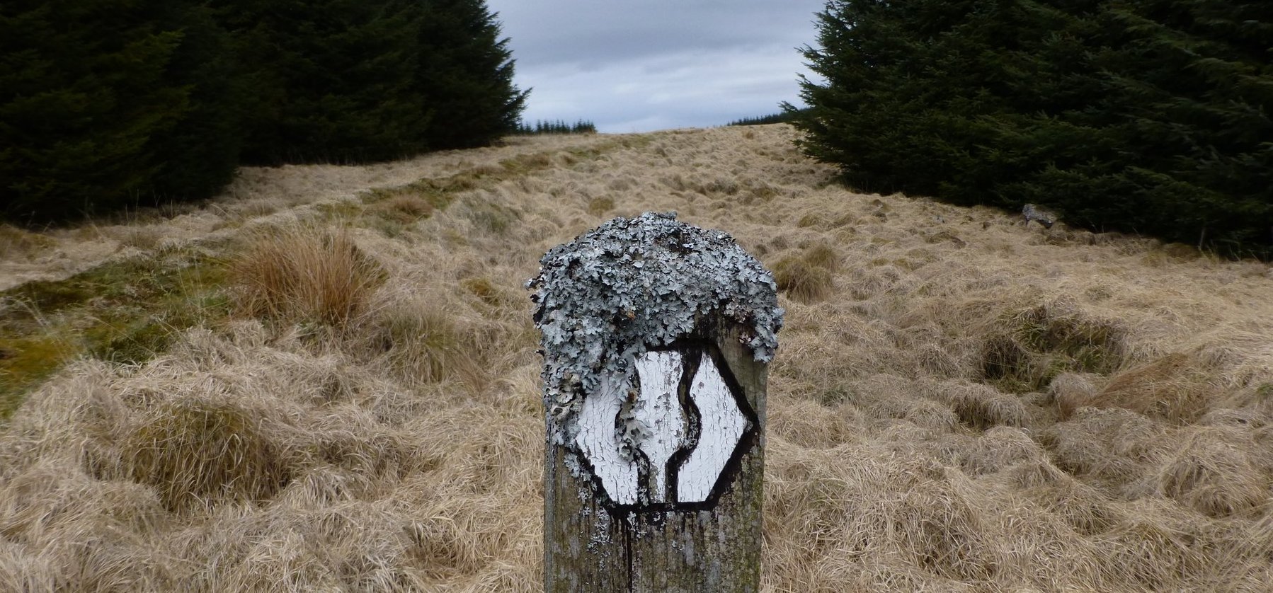
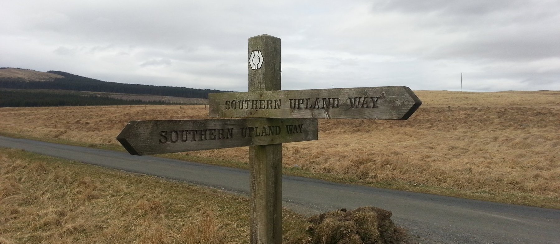
Southern Upland Way 2013 – Navigation & Maps
As there is no Trailblazer guide for the Southern Upland Way I

Southern Upland Way 2013 – The Route
Choosing a route along a prescribed National Trail may seem like a

Southern Upland Way 2013 – Preparation
Most of my long walks take place in late April / early

Southern Upland Way 2013 – Kit List
This section covers my kit for the Southern Upland Way. I’m carrying
Southern Upland Way 2013 – Day 0
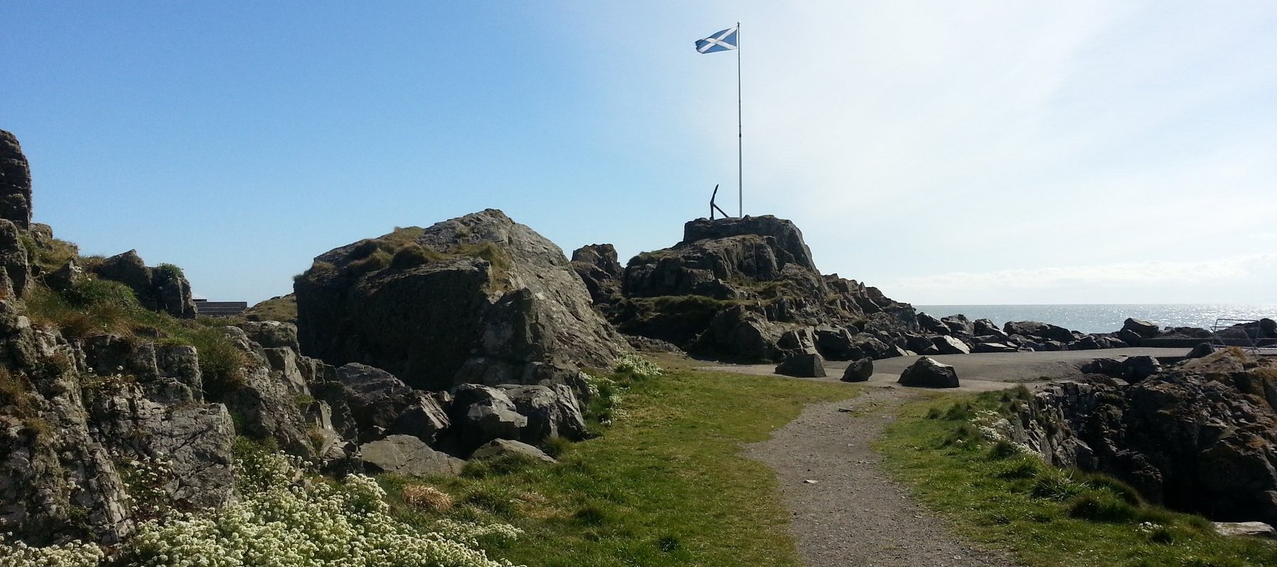
27th April 2013 – Travel to, and arrival in Portpatrick “I still
Southern Upland Way 2013 – Day 1
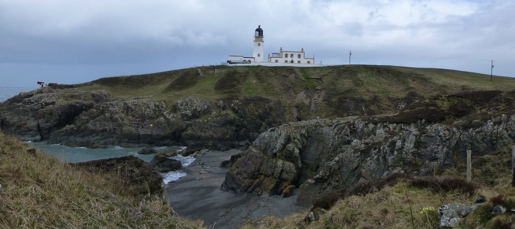
28th April 2013 – Portpatrick to Stranraer: 9.5 miles, 1,320 feet “Of

Southern Upland Way 2013 – Day 2
29th April 2013 – Stranraer to New Luce: 14.0 miles, 1,046 feet

Southern Upland Way 2013 – Day 3
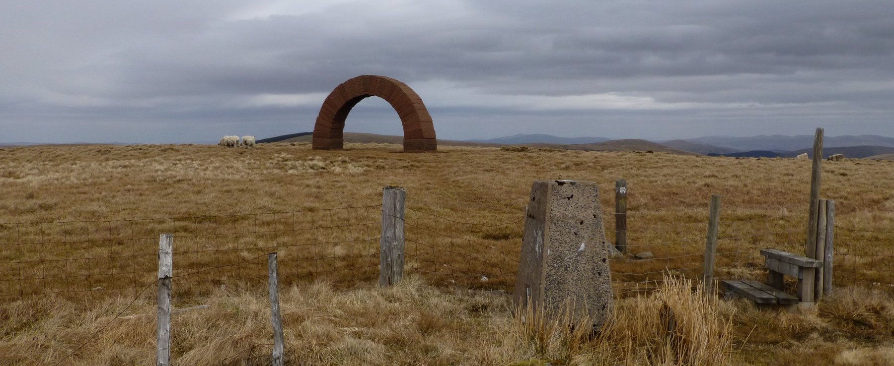
30th April 2013 – New Luce to Bargrennan: 18.8 miles, 1,809 feet

Southern Upland Way 2013 – Day 4
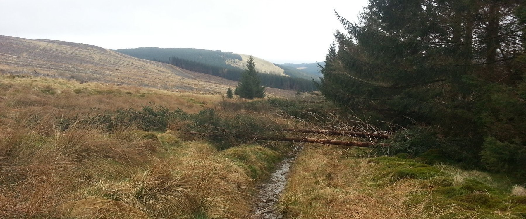
1st May 2013 – Bargrennan to St. Johns Town of Dalry: 25.4
Southern Upland Way 2013 – Day 5
2nd May 2013 – St. Johns Town of Dalry to Nether Holm:

Southern Upland Way 2013 – Day 6
3rd May 2013 – Nether Holm to Sanquhar: 15.1 miles, 2,002 feet

Southern Upland Way 2013 – Day 7
4th May 2013 – Sanquhar to Wanlockhead: 8.2 miles, 1,973 feet “All
Southern Upland Way 2013 – Day 8
5th May 2013 – Wanlockhead to Beattock: 20.0 miles, 3,578 feet “My

Southern Upland Way 2013 – Day 9
6th May 2013 – Beattock to St. Mary’s Loch: 21.3 miles, 3,310