
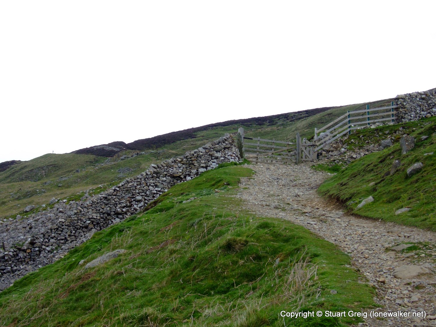
There is a trig point on Fremington Edge, which I had intended to bag on both my Coast to Coast walks, but for one reason or another I'd not quite got round to it. So I decided to dedicate a day walk just to the trig point and the result is what you see here. I ended up cutting the walk shorter than originally intended due to the onset of rain and apathy.
Date: 2009-05-23
Start: Reeth Finish: Reeth
Distance: 13.5 mls, 21.73 km
Height Gain: 1600 ft, 487.7 m
Start Time: 08:08 End Time: 12:53
Duration: 04:45
Ave Speed: 2.8 mph
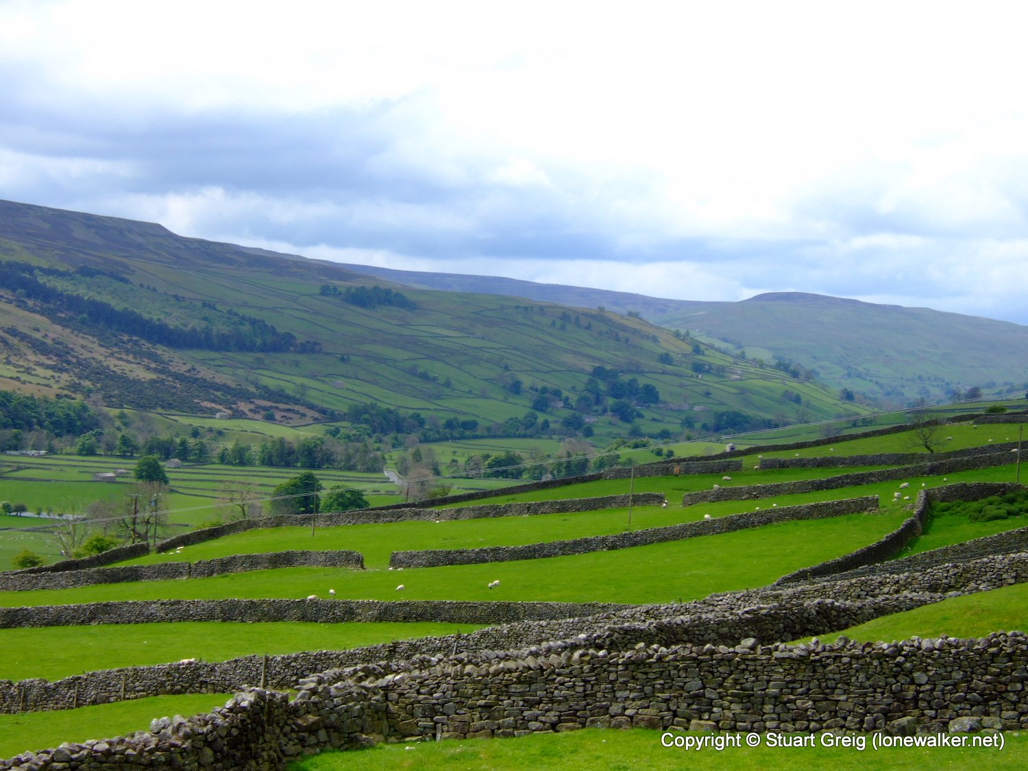
Region: Yorkshire Dales
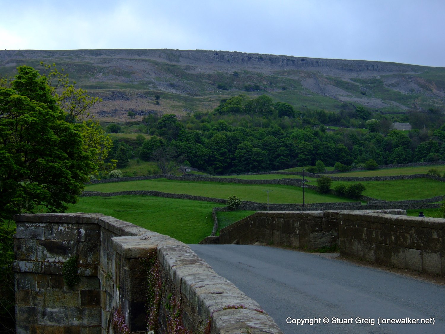
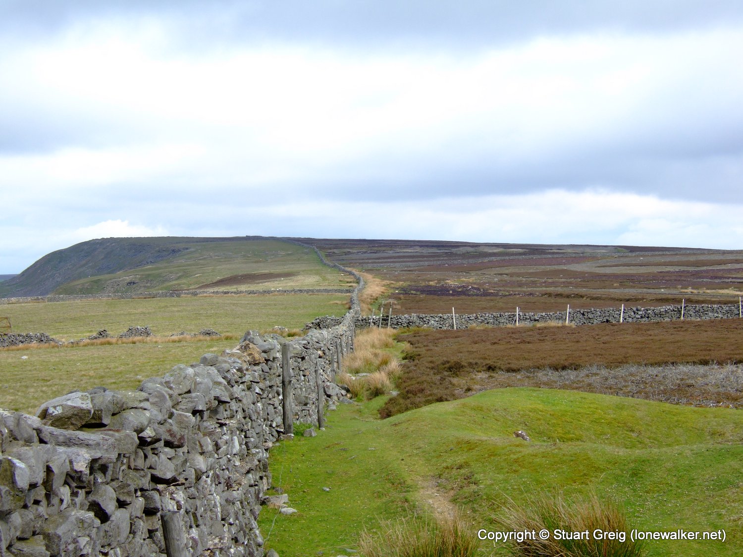
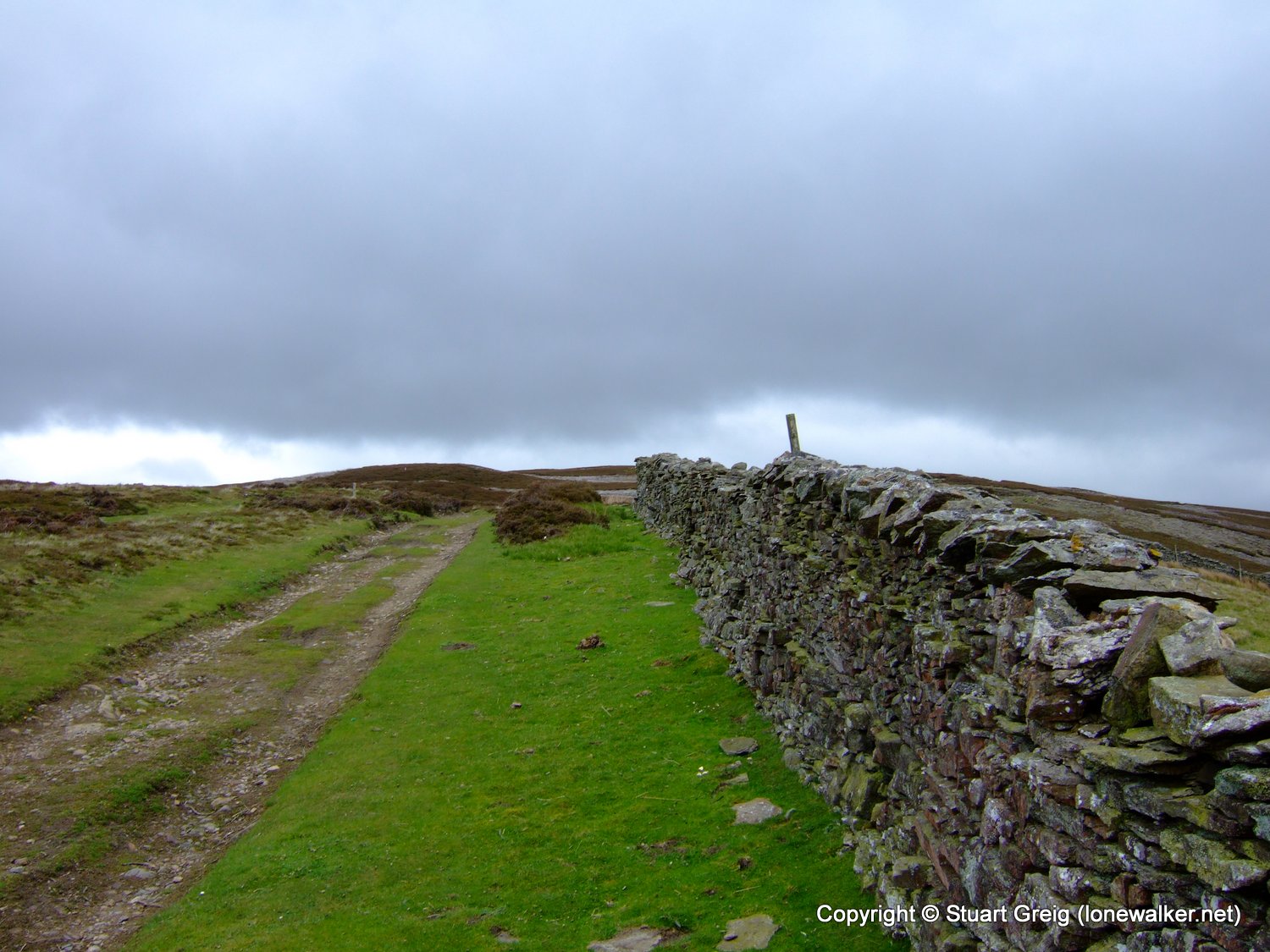
Route Description: Reeth, High Fremington, White House, Fremington Edge, Langthwaite, Turf Moor, Calver Hill, Reeth
Parking Grid Ref: SE 03842 99270
View Parking space in: OS Map or Google Street View
Walking with: Alone
Long Distance Path:
16354 - Fremington Edge (1558 ft)
TP2399 - Copperthwaite Moor (Good condition)
Click any image to open the full screen photo gallery


Walk Name: Lyke Wake Walk (part only)
Date: 2009-05-10
Distance: 20.0 mls, 32.19 km
Height Gain: 2100 ft, 640.1 m
Walk Name: Great Asby Scar
Date: 2009-05-30
Distance: 13.5 mls, 21.73 km
Height Gain: 1400 ft, 426.7 m