
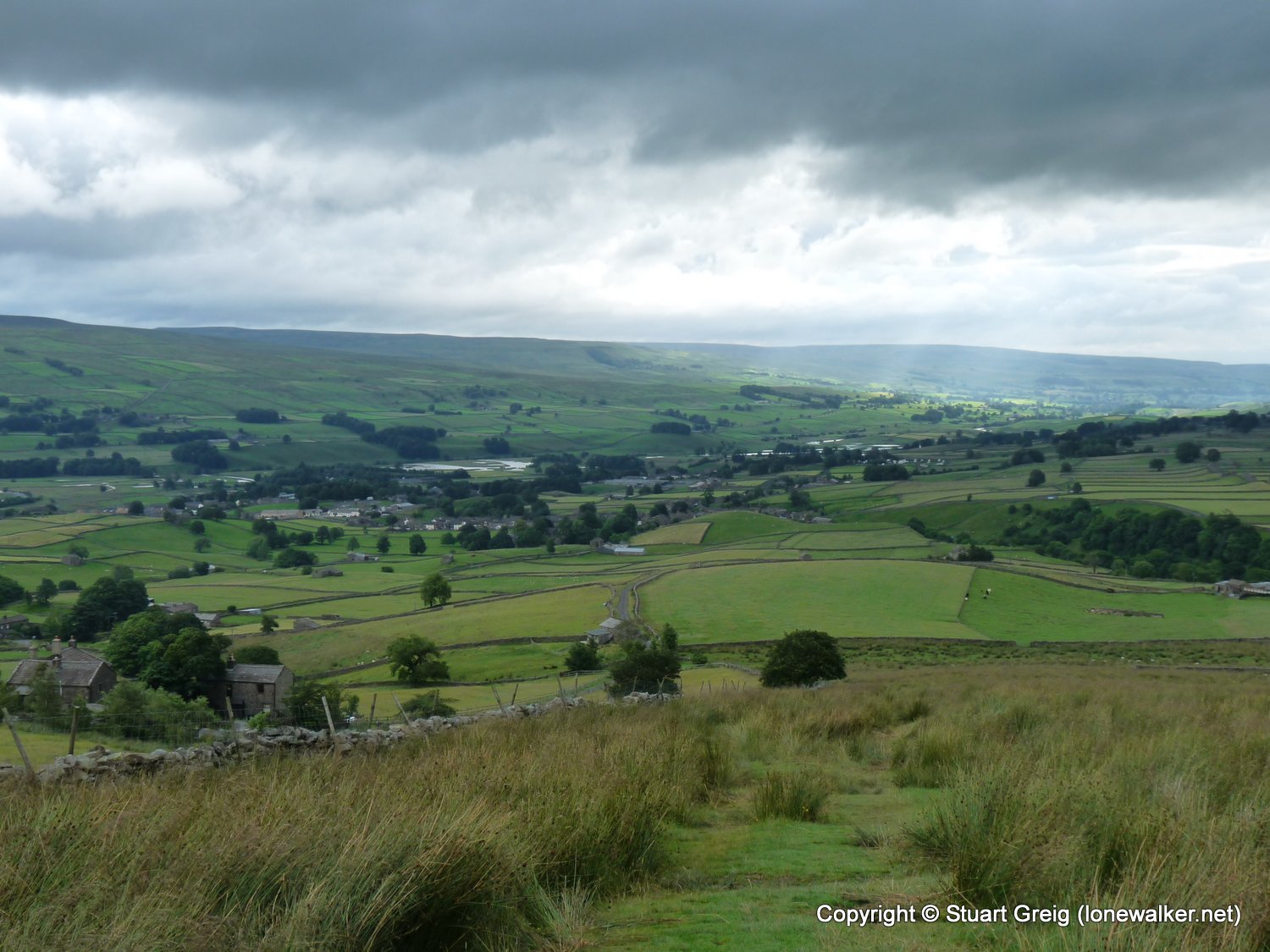
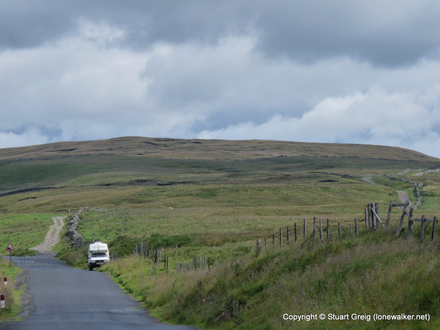
I decided it was time to start ticking off a few more Yorkshire Top 30s again, so I picked a route that would bag me a couple, without tackling anything too boggy - it had been raining for a good few days at this point.
Date: 2009-07-18
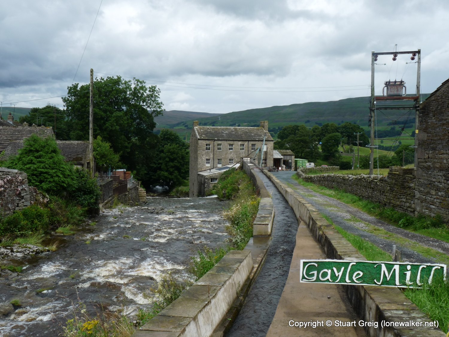
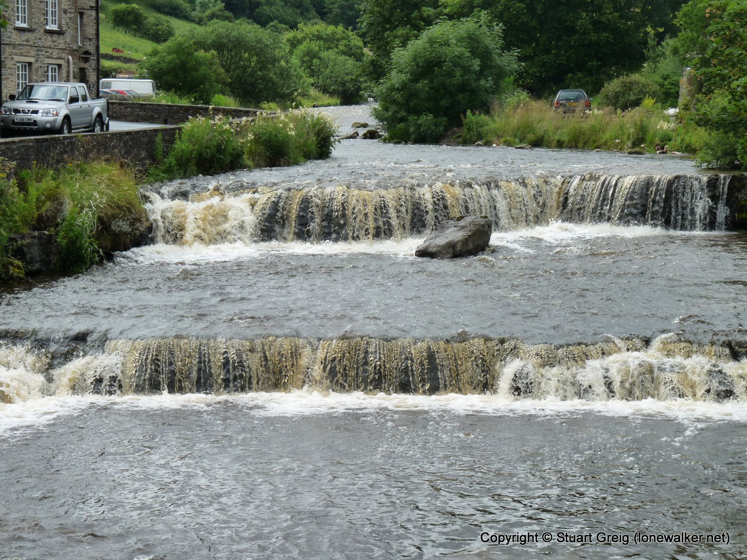
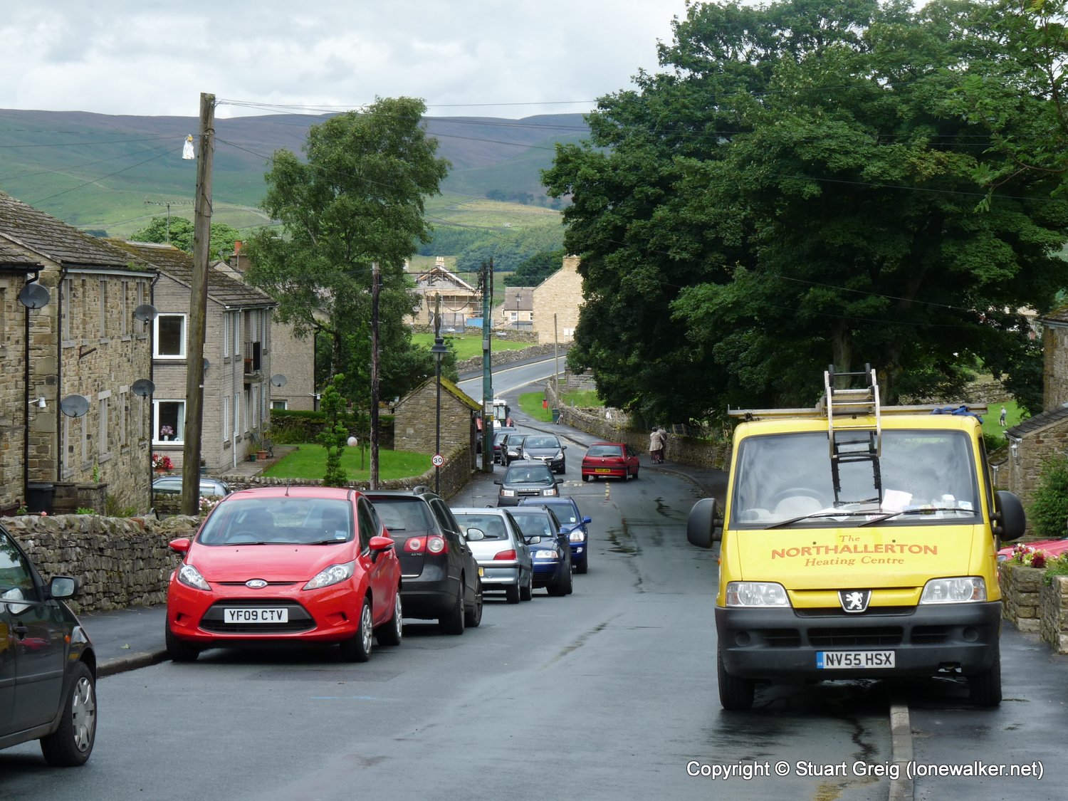
Start: Gayle Finish: Gayle
Distance: 12.0 mls, 19.31 km
Height Gain: 1900 ft, 579.1 m
Start Time: 07:36 End Time: 12:30
Duration: 04:54
Ave Speed: 2.5 mph
Region: Yorkshire Dales
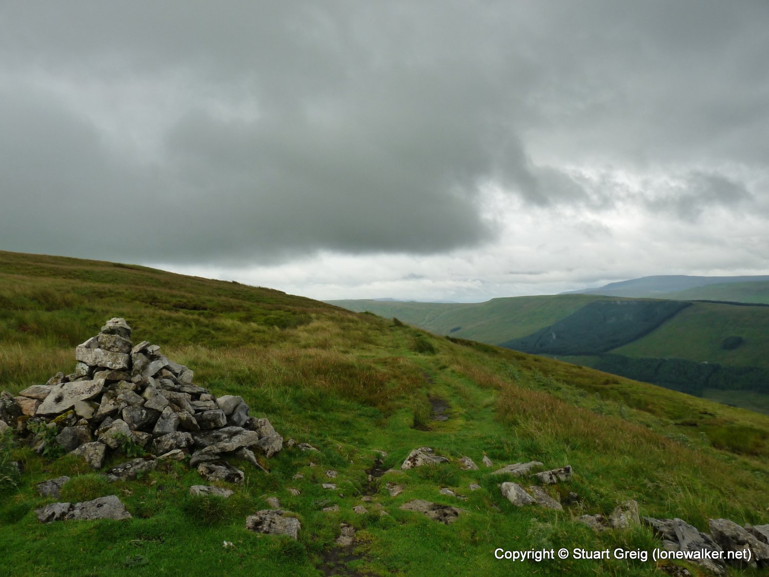
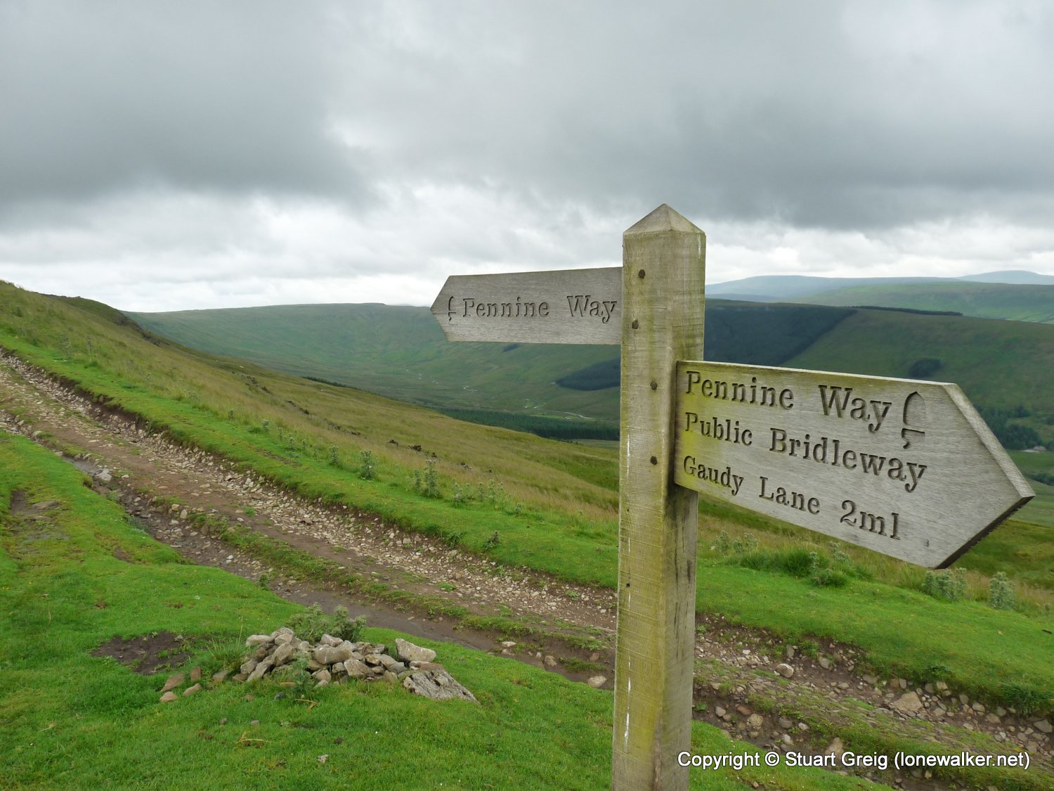
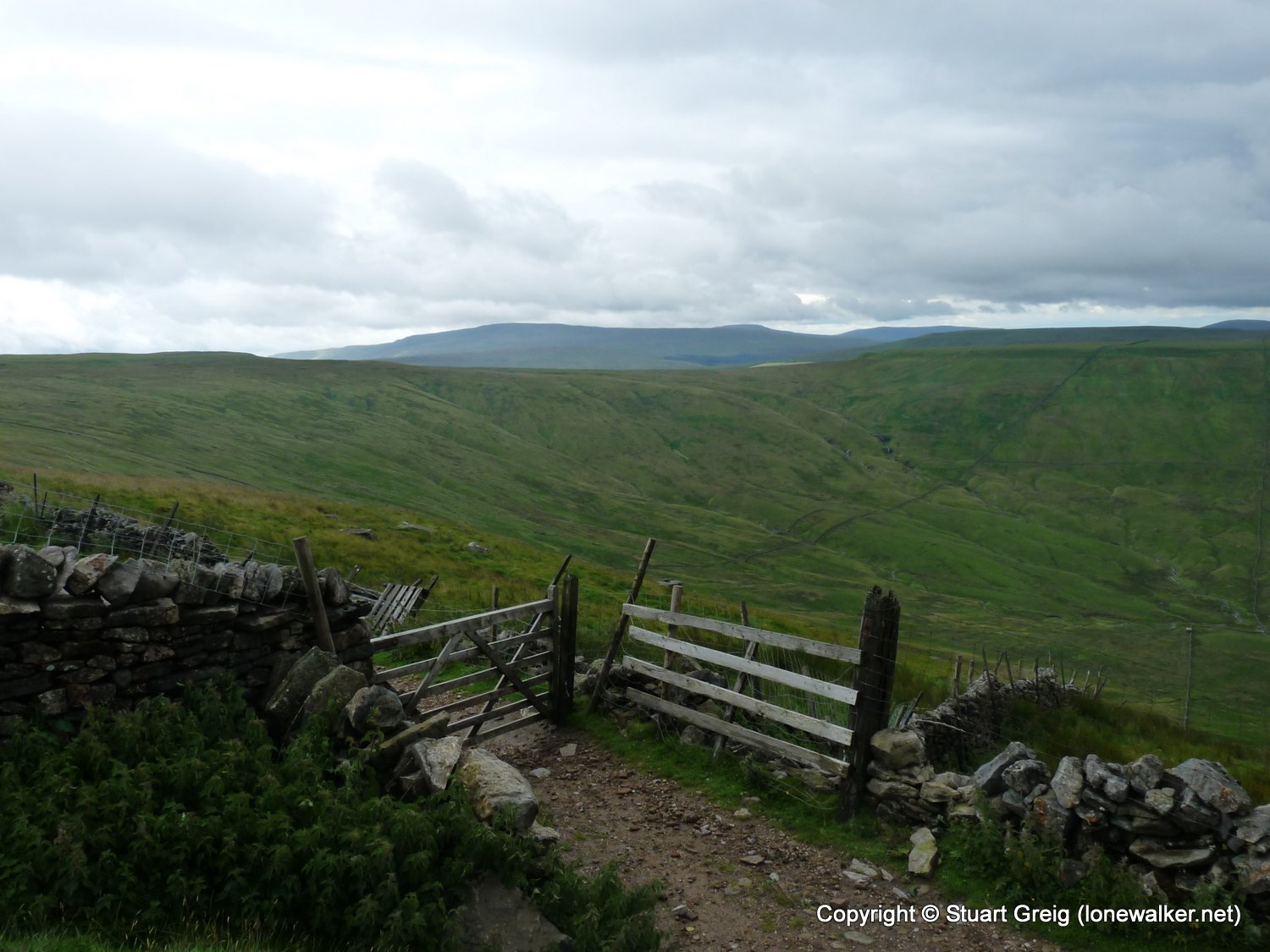
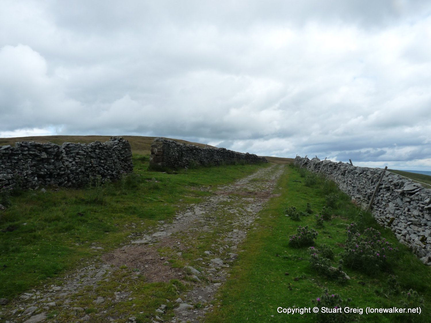
Route Description: Gayle, Pennine Way to Dodd Fell Hill, Road walking to Cam High Road, Drumaldrace, Wether Fell, Fields back to Gayle
Parking Grid Ref: SD 87080 89330
View Parking space in: OS Map or Google Street View
Walking with: Alone
Long Distance Path:
TP2795 - Dodd Fell (Slightly damaged condition)
TP7929 - Drumaldrace Cairn (Good condition)
Click any image to open the full screen photo gallery


Walk Name: Kinder Perimeter
Date: 2009-07-12
Distance: 13.5 mls, 21.73 km
Height Gain: 2800 ft, 853.4 m
Walk Name: Yarlside
Date: 2009-07-25
Distance: 13.0 mls, 20.92 km
Height Gain: 2700 ft, 823.0 m