
Date: 2011-05-07
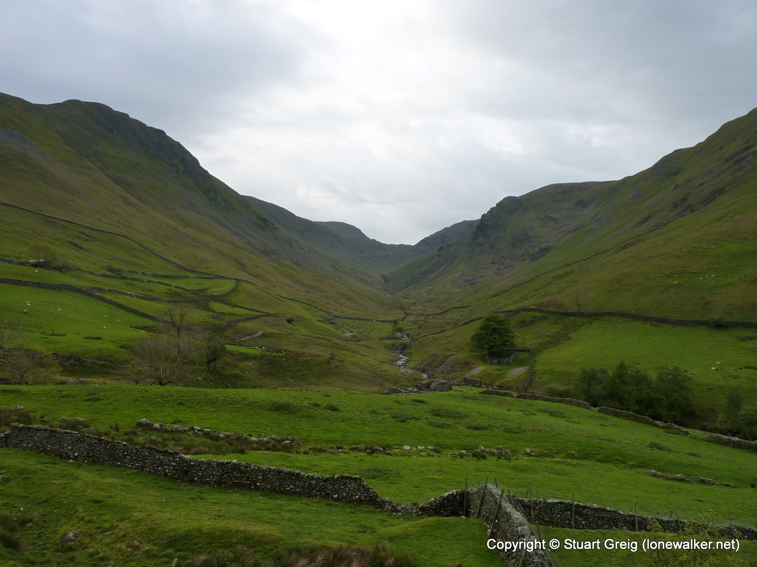
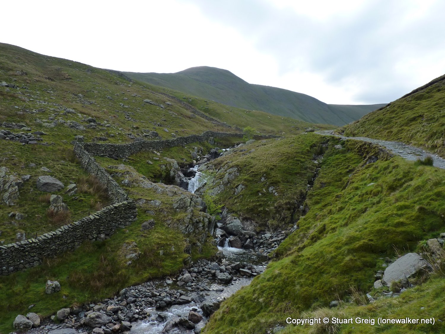
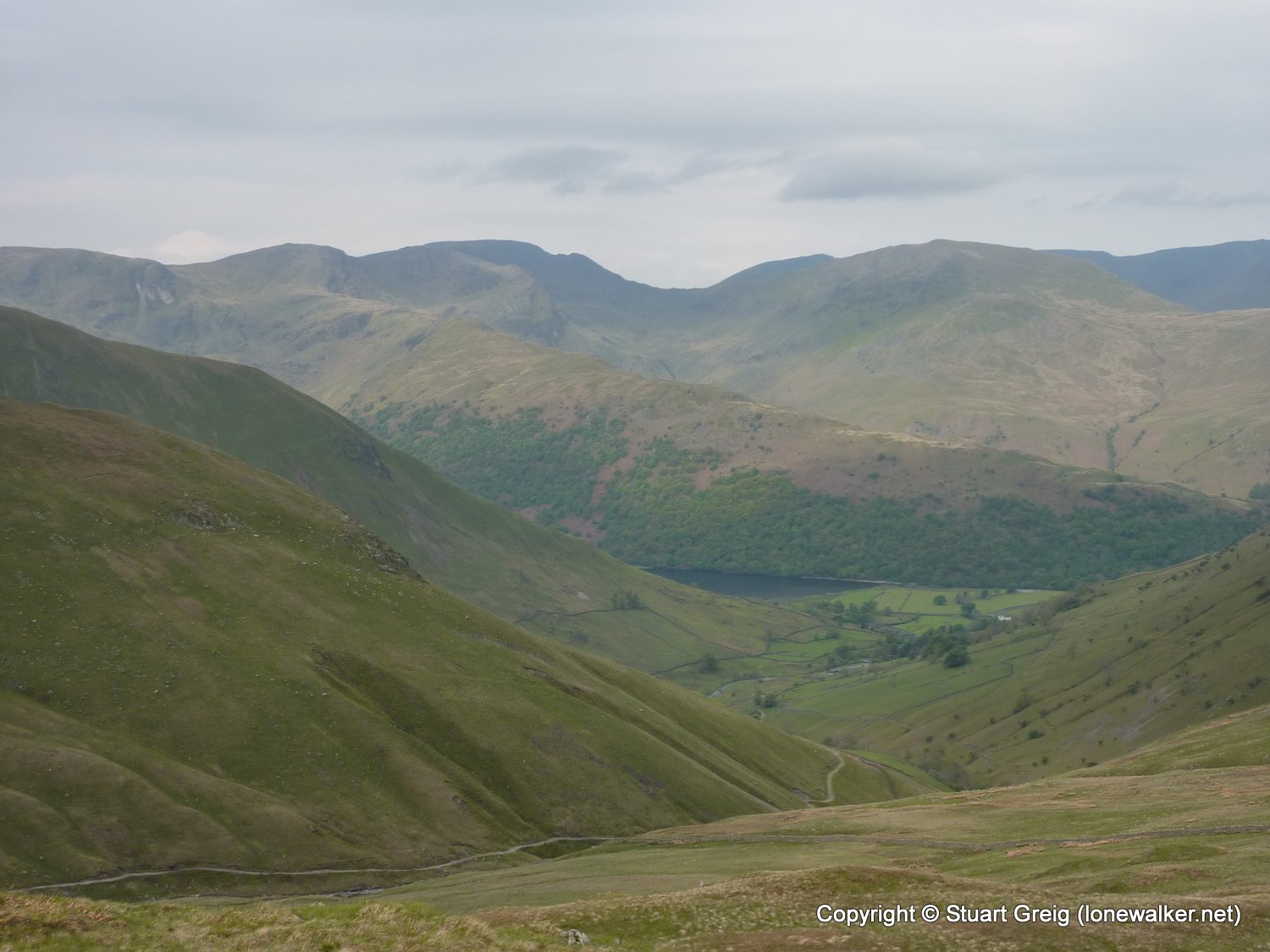
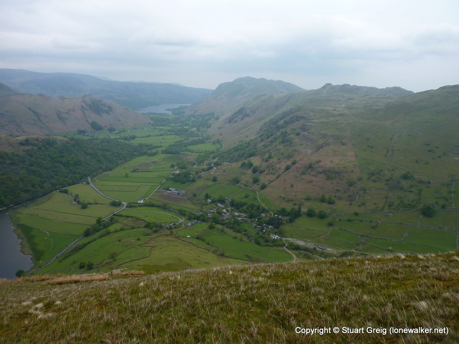
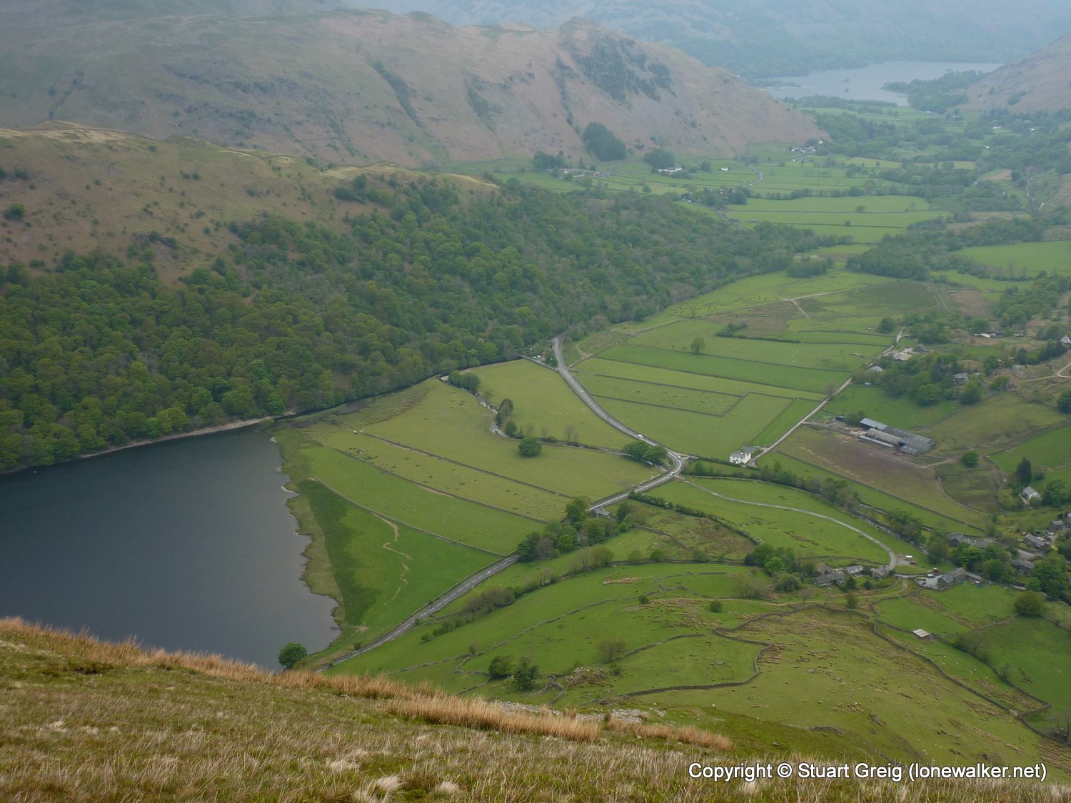
Start: Hartsop Finish: Hartsop
Distance: 8.0 mls, 12.87 km
Height Gain: 3200 ft, 975.4 m
Start Time: 07:52 End Time: 12:41
Duration: 04:49
Ave Speed: 1.7 mph
Region: Lake District
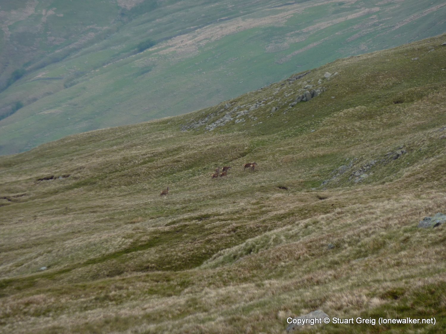
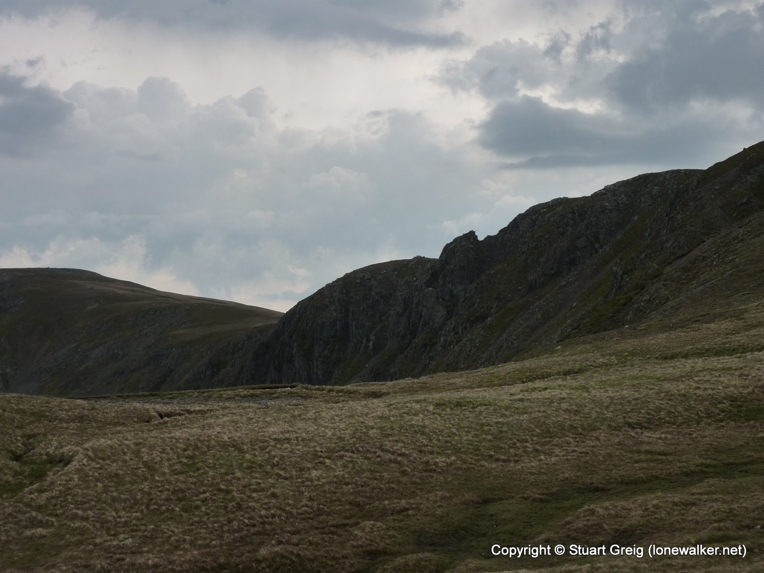
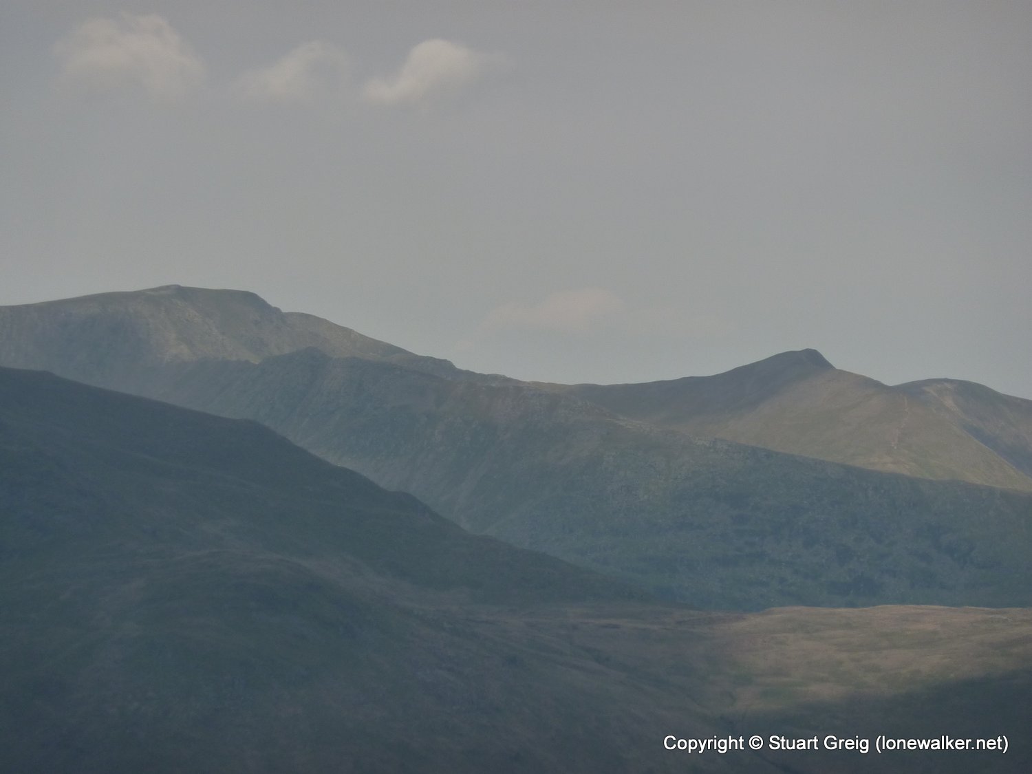
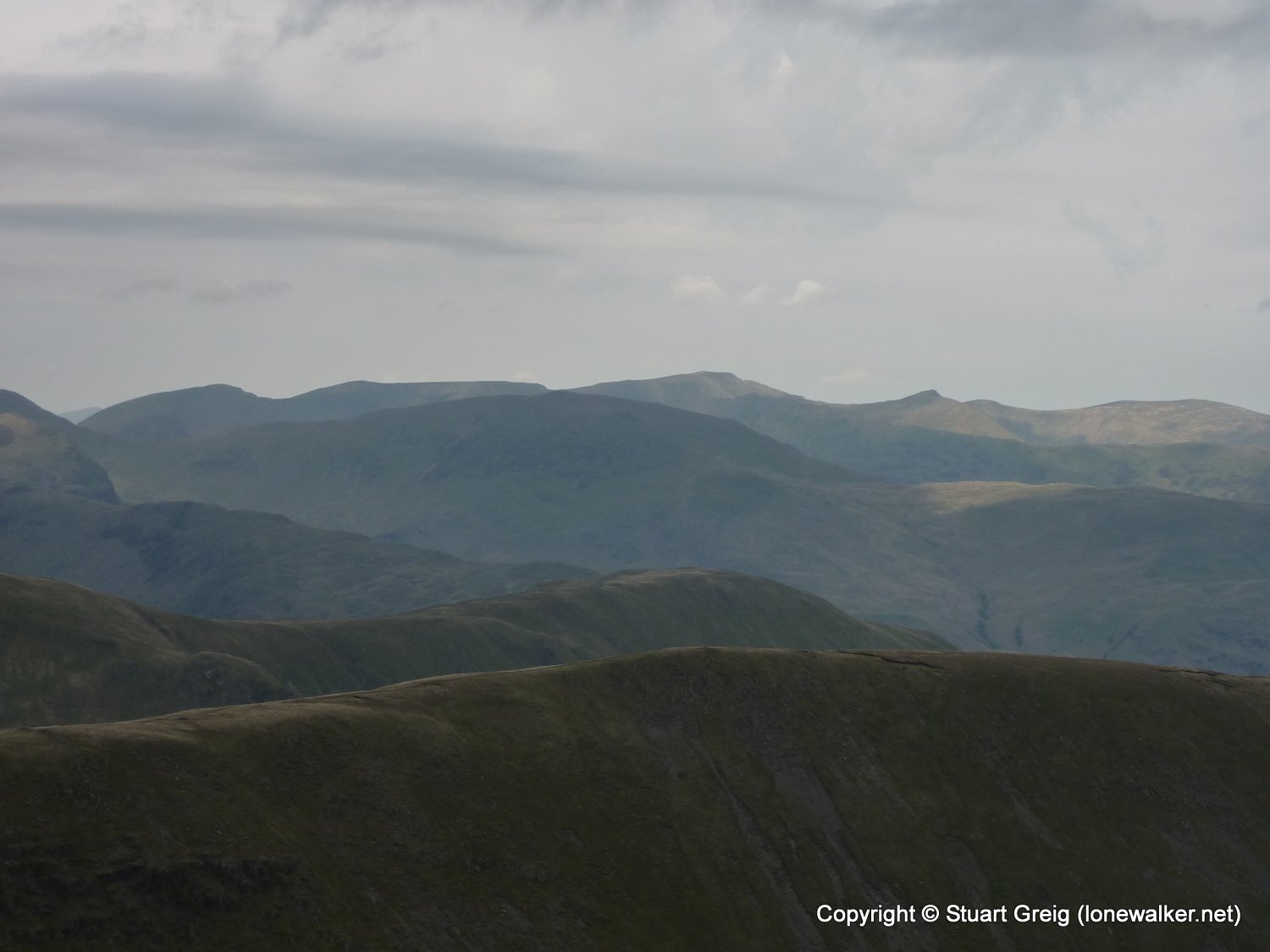
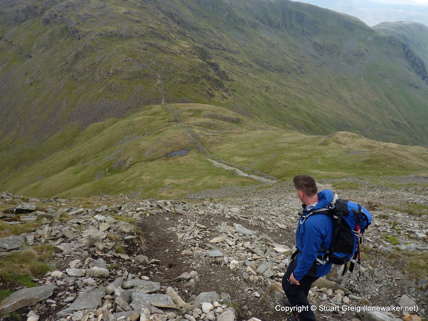
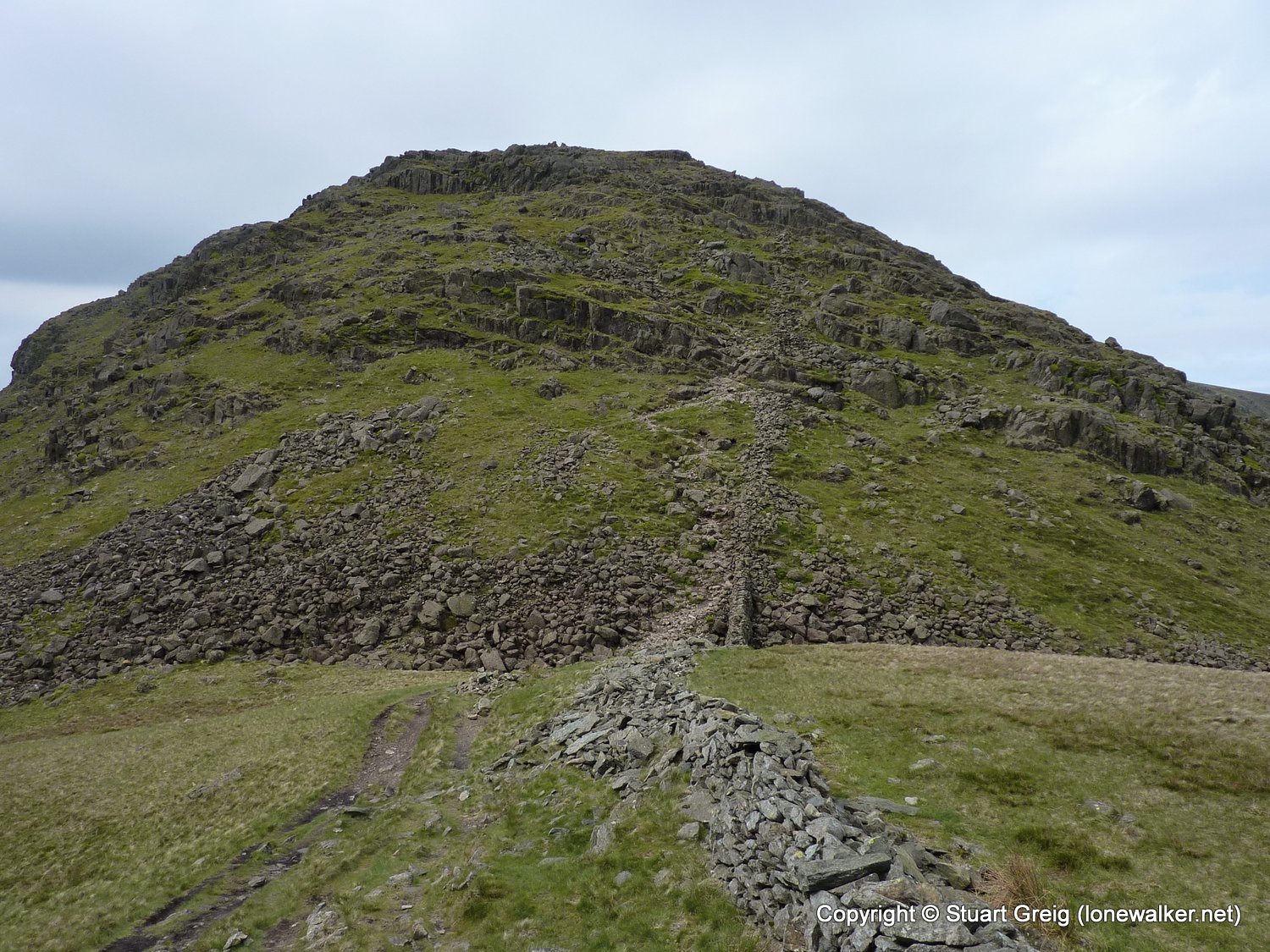
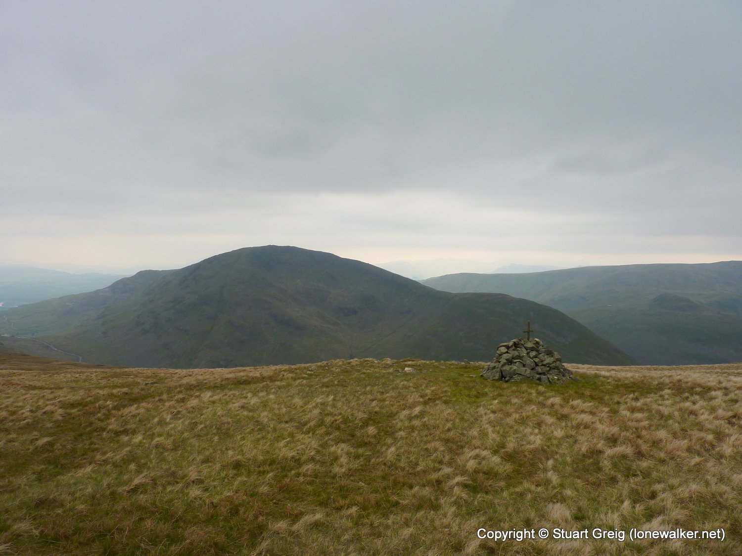
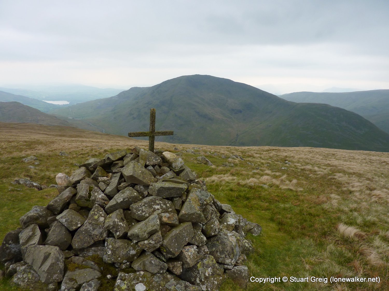
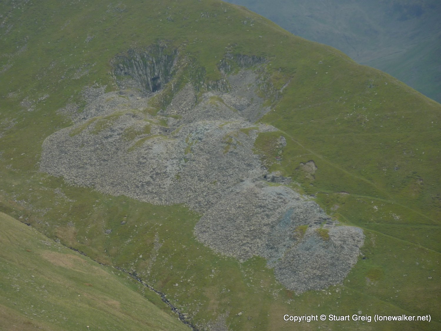
Route Description: Hartsop, Hayeswater Gill, The Knott, High Street, Thortnthwaite Crag, Stony Cove Pike, Hartsop Dodd, Hartsop
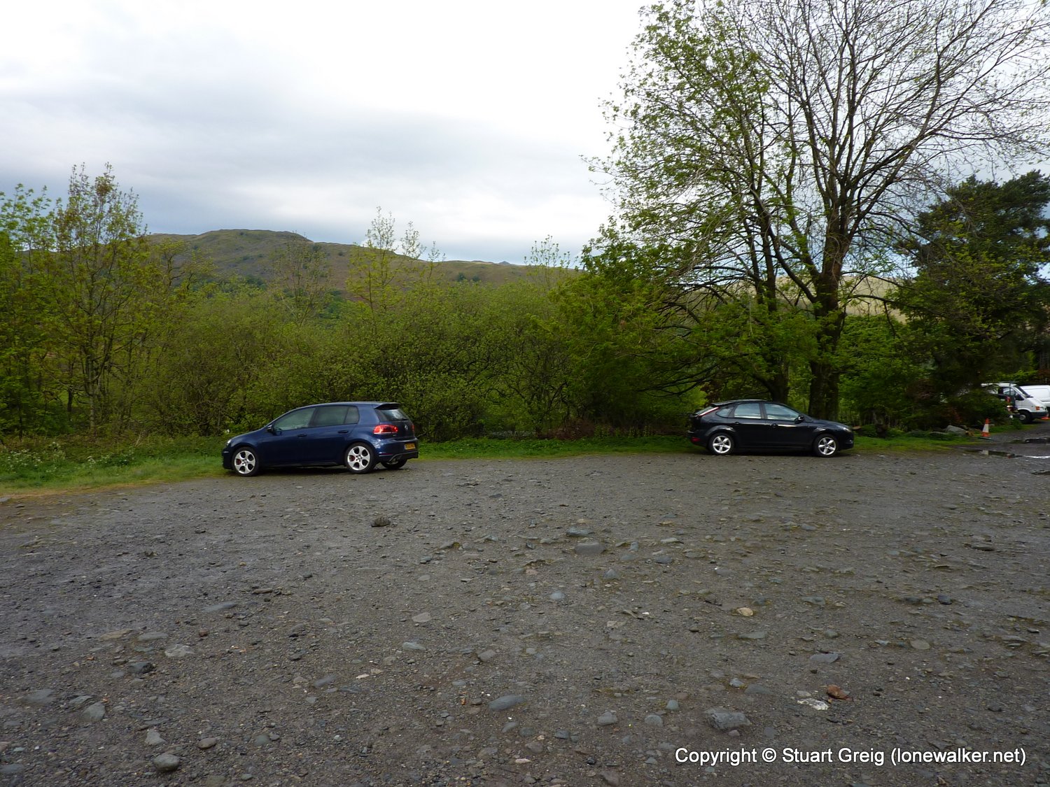
Parking Grid Ref: NY 41005 13002
View Parking space in: OS Map or Google Street View
Walking with: Paul Sharkey
Long Distance Path:
2528 - High Street (2717 ft)
2535 - Thornthwaite Crag (2572 ft)
2540 - Stony Cove Pike [Caudale Moor] (2506 ft)
2544 - The Knott (High Street) (2425 ft)
2572 - Hartsop Dodd (2031 ft)
3816 - Caudale Moor - John Bell's Banner (2477 ft)
TP0693 - High Street (Slightly damaged condition)
Click any image to open the full screen photo gallery


Walk Name: Thwaite to Muker
Date: 2011-05-01
Distance: 2.2 mls, 3.54 km
Height Gain: 150 ft, 45.7 m
Walk Name: Dentdale
Date: 2011-05-14
Distance: 9.0 mls, 14.48 km
Height Gain: 1700 ft, 518.2 m