
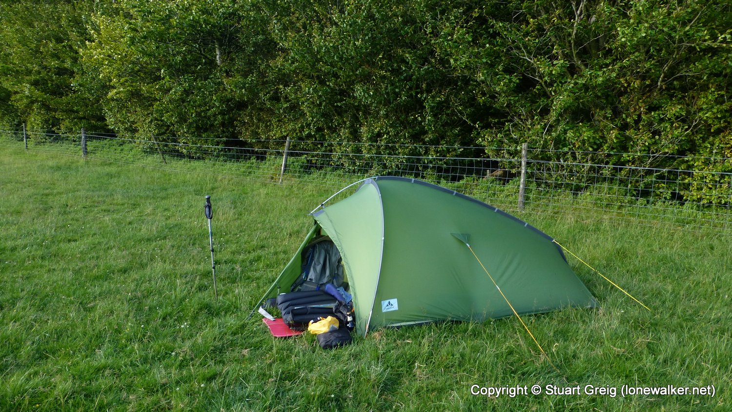
The first day of a 2-day weekend with Matt Hillplodder, booked well in advance and the weather played ball. A short drizzly shower on the ascent of Smatcher but then clear skies, getting warmer as the afternoon progressed. A lack of running water was a constant worry and ended up filtering some awful brown, murky water from the pool beside our camp for the evening. Warm night, eventually driven into tents by the tiny midges.
Date: 2015-07-04
Start: New Radnor Finish: Graig Hill
Distance: 10.4 mls, 16.74 km
Height Gain: 2600 ft, 792.5 m
Start Time: 11:50 End Time: 17:50
Duration: 06:00
Ave Speed: 1.7 mph
Region: South Wales
Route Description: New Radnor, Smatcher Cottage, The Smatcher, Pont y Nantau, Nyth-grug, Esgairnantau, Great Rhos, The Riggles, Fron-wen, Rhiw Pool, Graig Hill
Parking Grid Ref: SO 21377 60805
View Parking space in: OS Map or Google Street View
Walking with: Matthew King
Long Distance Path:
Link to full Walk Report: https://lonewalker.net/july-microadventure/
Download GPX file for this walk:
If your browser opens the file directly, right click and "Save As.."
14981 - The Smatcher (1401 ft)
3468 - Nyth-grug (1765 ft)
2178 - Great Rhos (2165 ft)
3467 - Fron-wen (1791 ft)
TP6429 - The Smatcher (Good condition)
TP5200 - Nyth Grug (Good condition)
TP5567 - Radnor Forest (Good condition)
Click any image to open the full screen photo gallery


Walk Name: Kinder via Jaggers Clough
Date: 2015-06-27
Distance: 10.2 mls, 16.42 km
Height Gain: 2200 ft, 670.6 m
Walk Name: Graig Hill to New Radnor
Date: 2015-07-05
Distance: 7.1 mls, 11.43 km
Height Gain: 1200 ft, 365.8 m