
Date: 2017-03-25
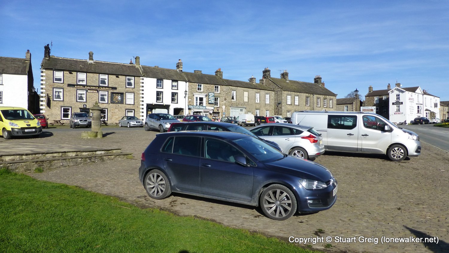
Start: Reeth Finish: Richmond
Distance: 12.4 mls, 19.91 km
Height Gain: 1700 ft, 518.2 m
Start Time: 08:30 End Time: 13:30
Duration: 05:00
Ave Speed: 1.8 mph
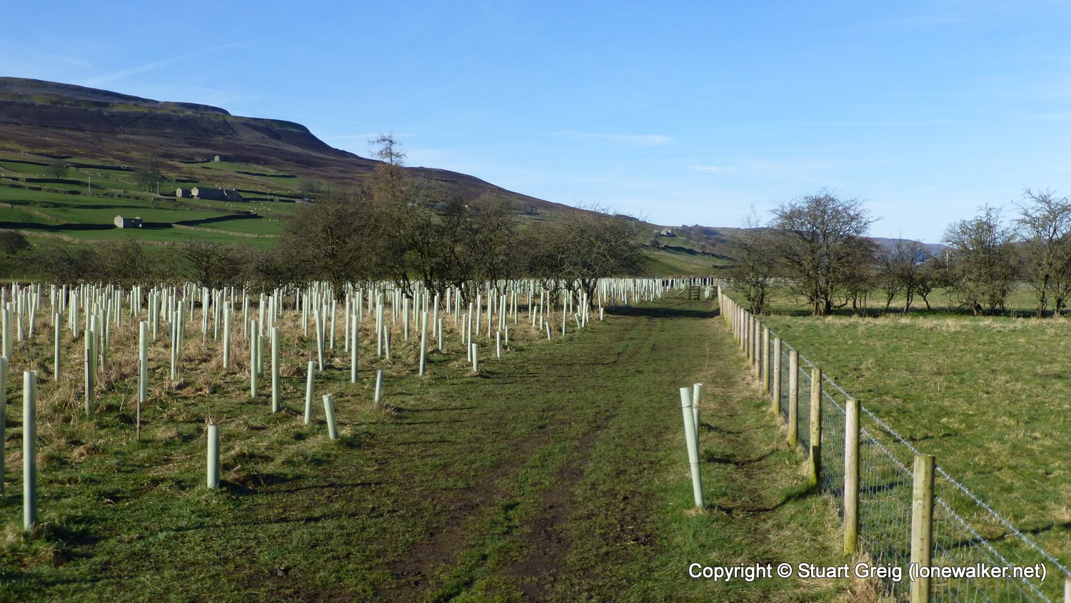
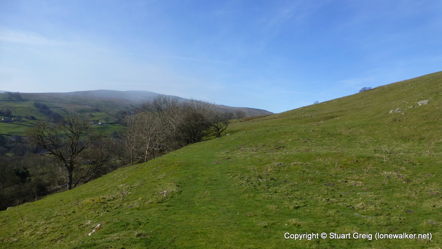
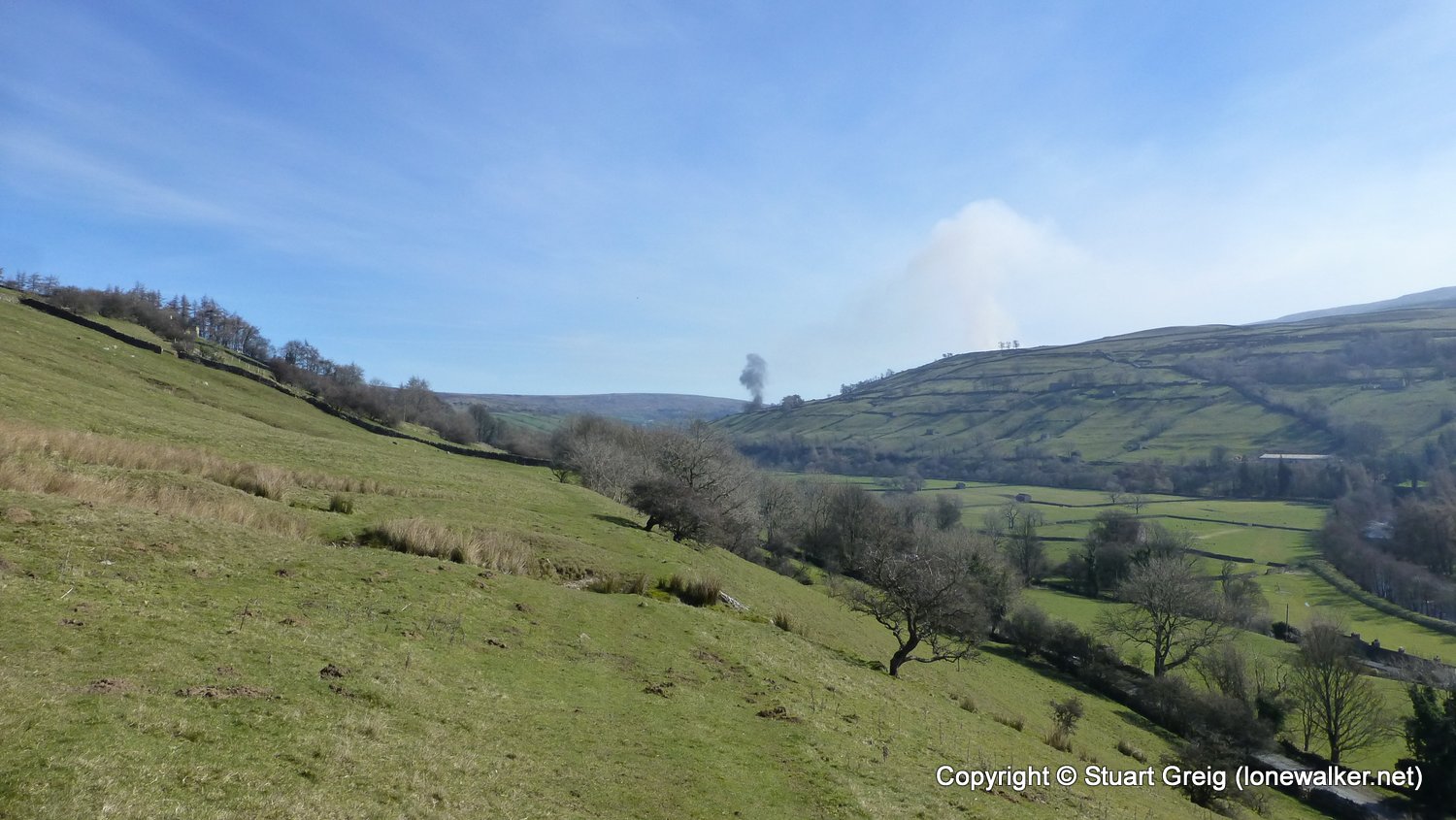
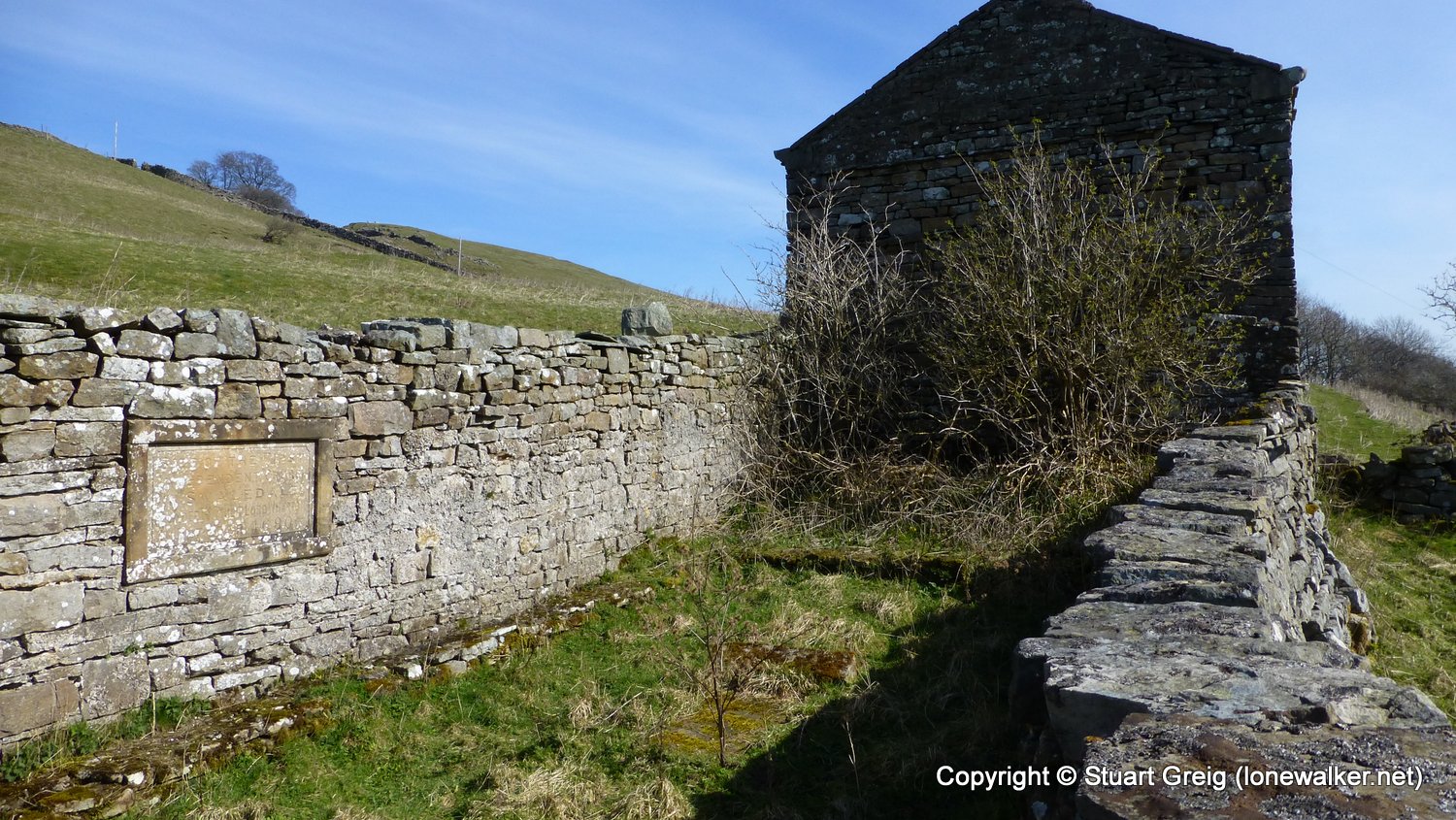
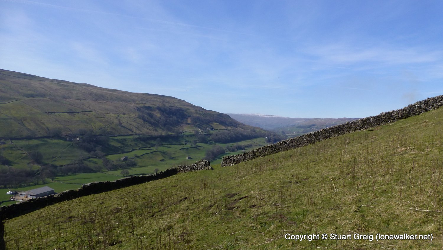
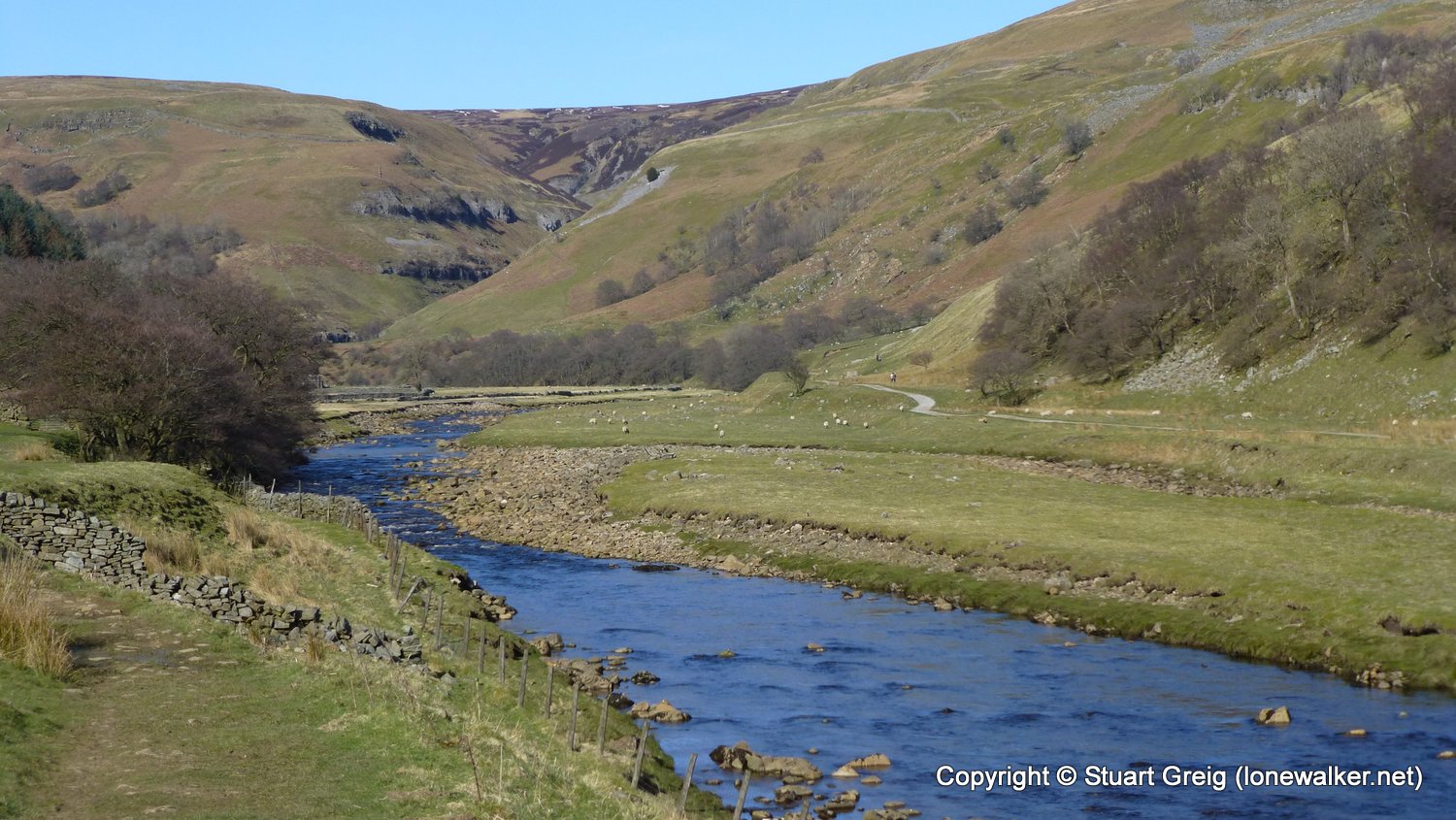
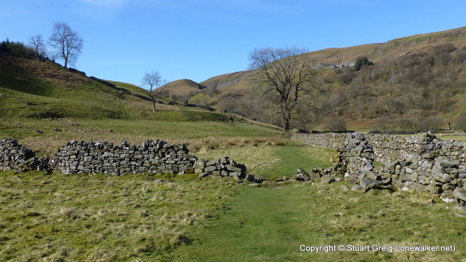
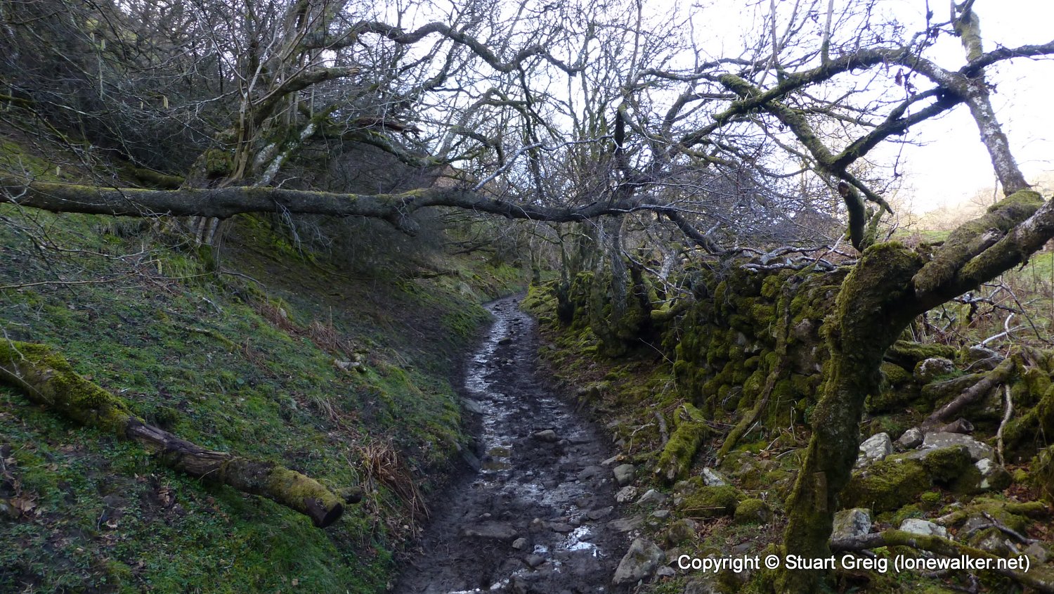
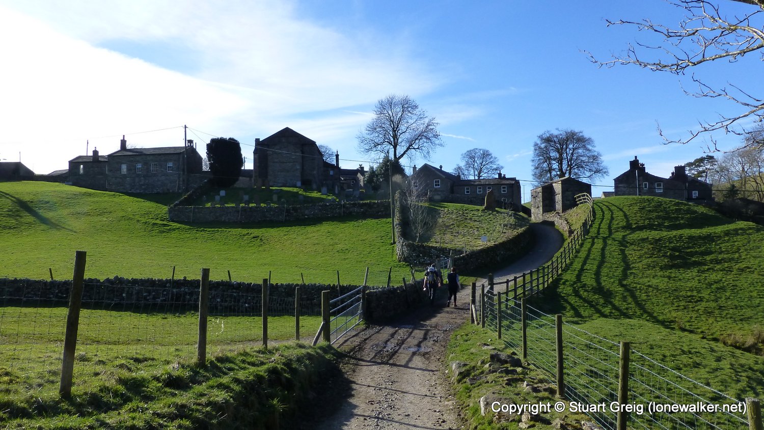
Region: Yorkshire Dales
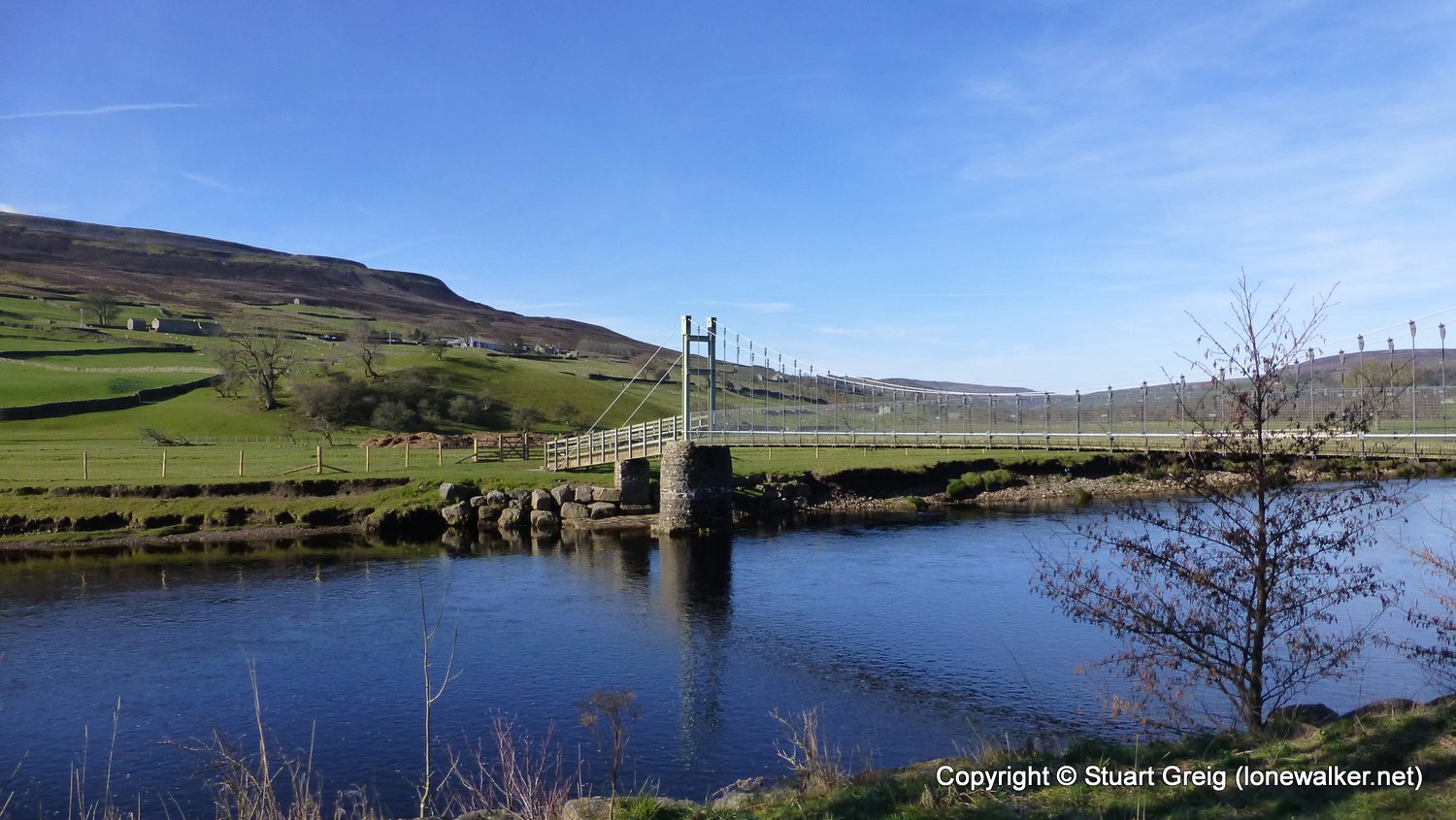
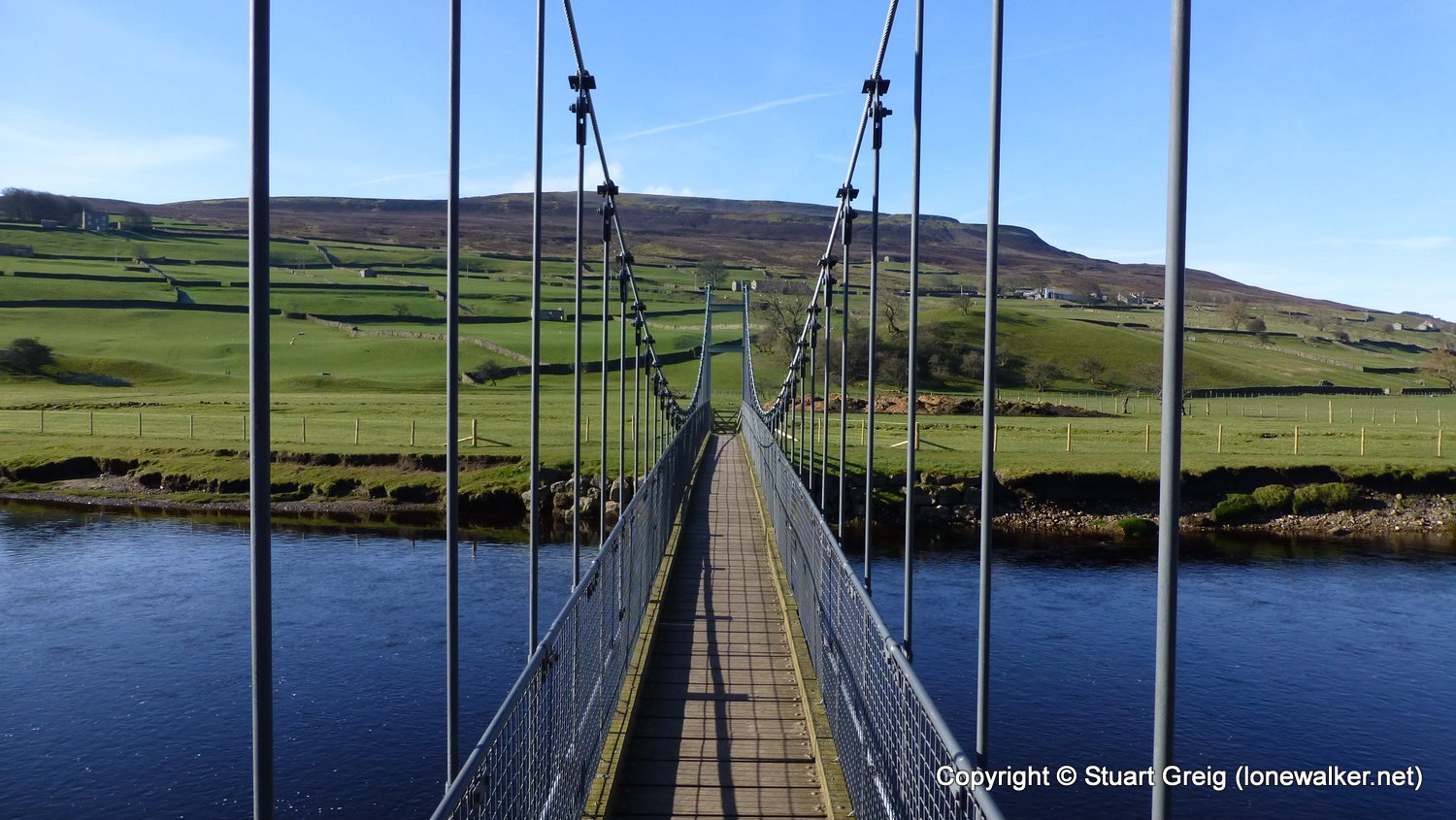
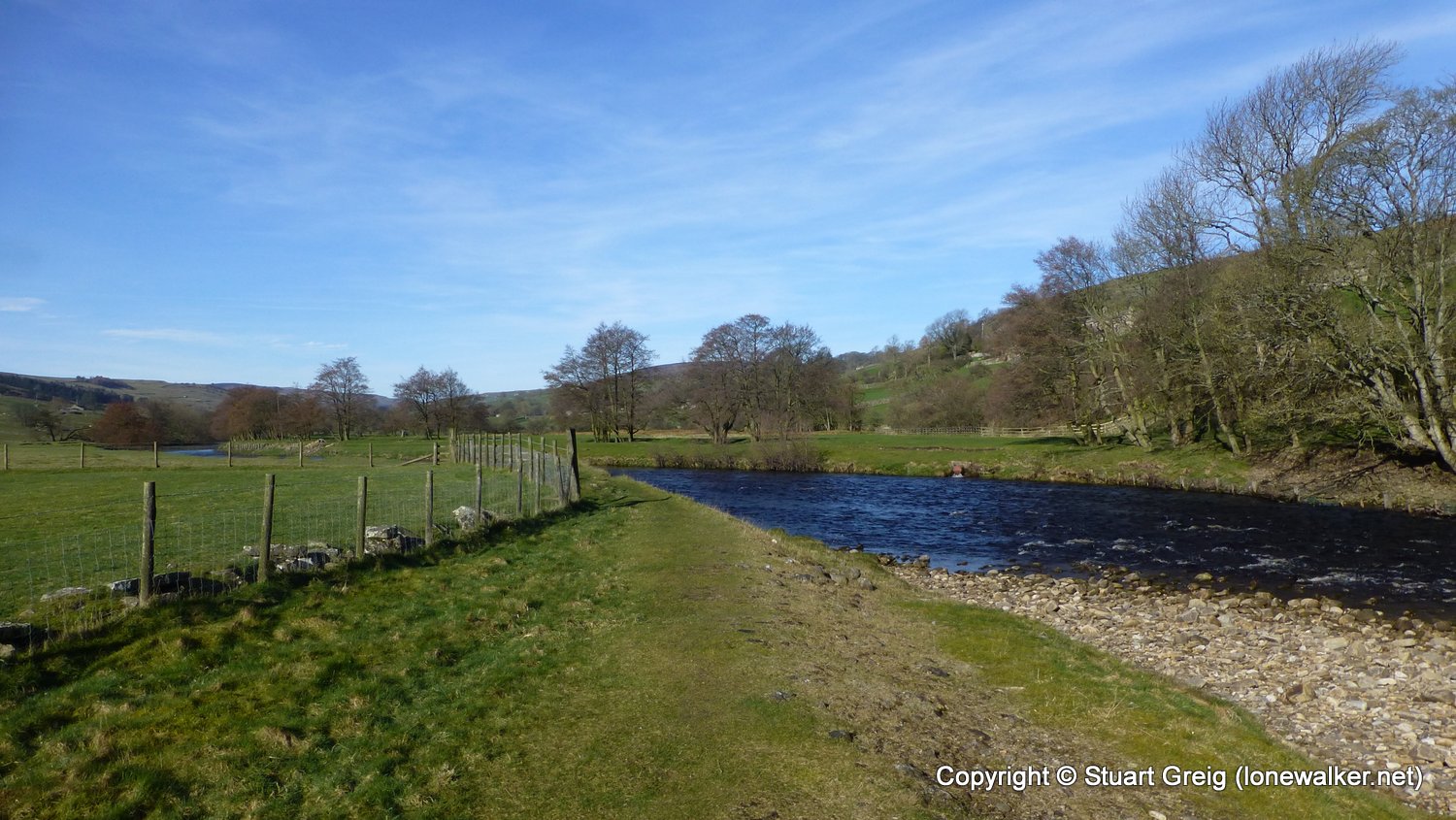
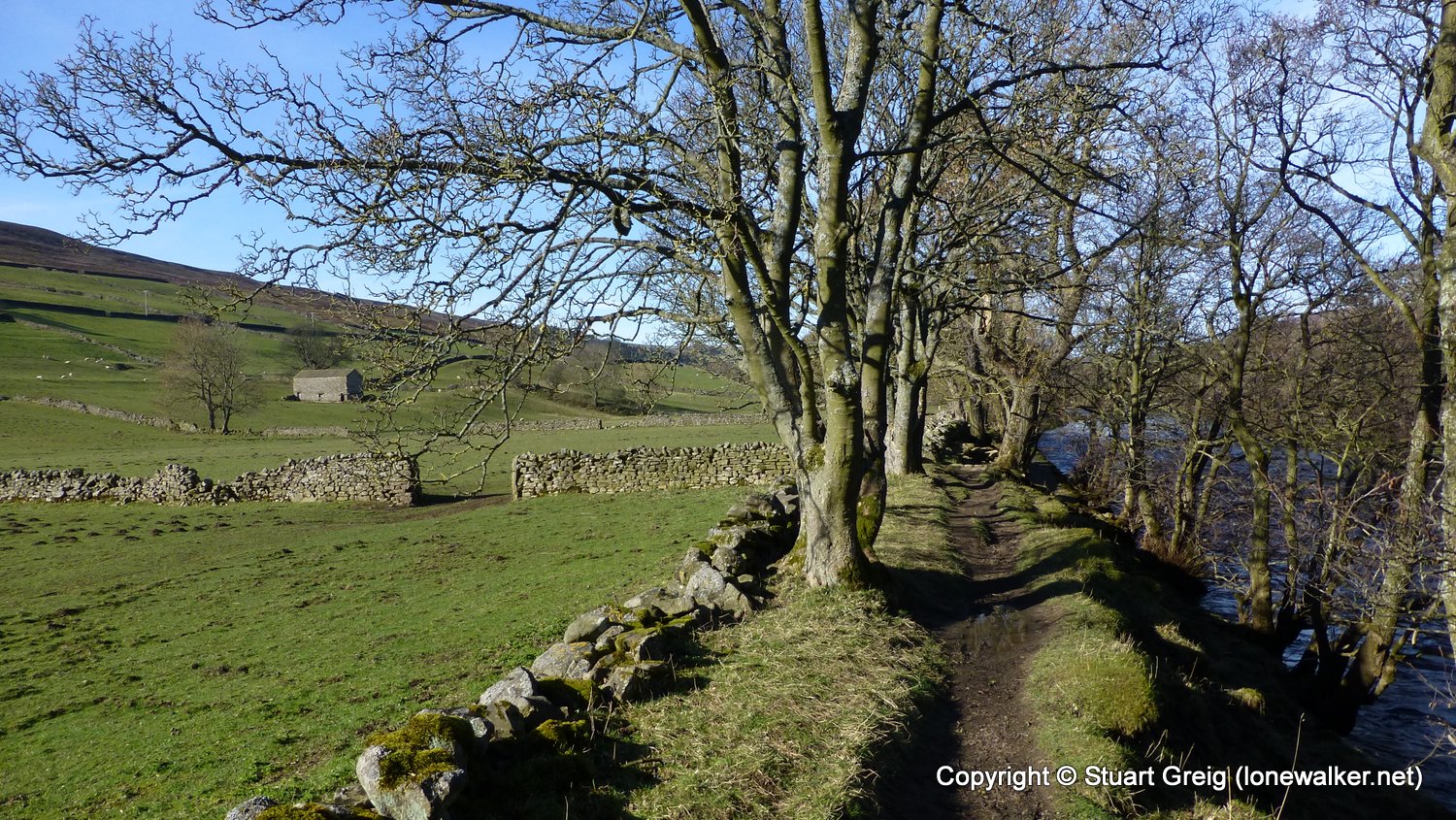
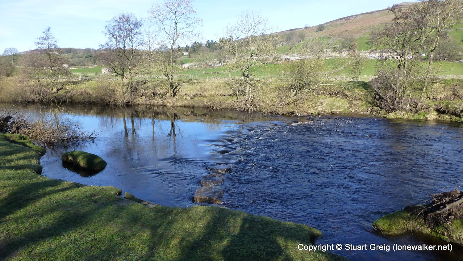
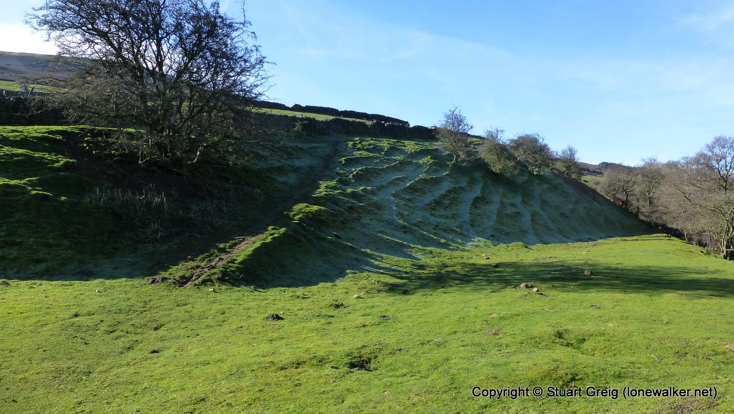
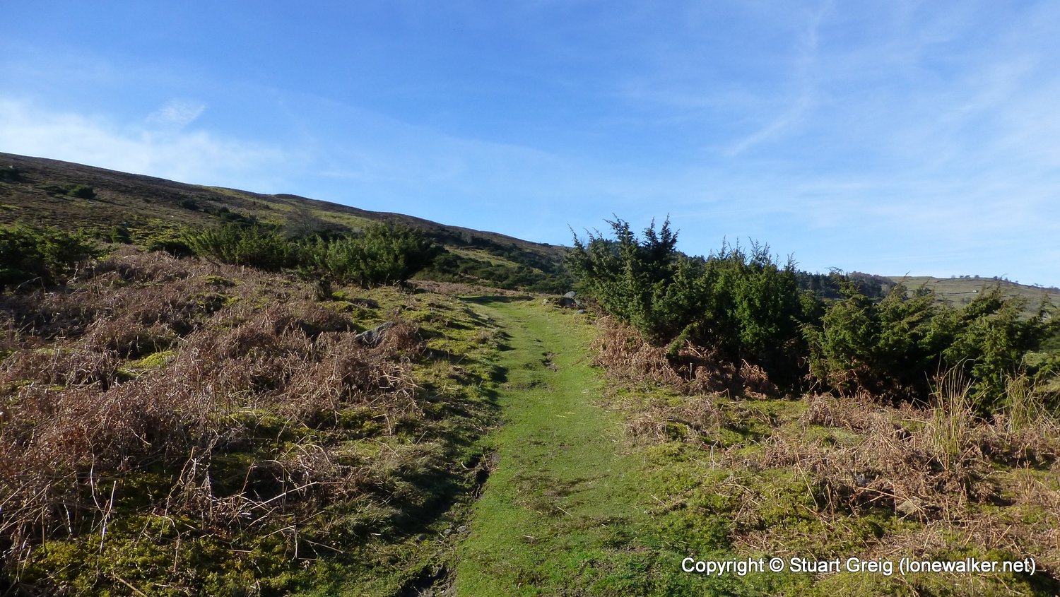
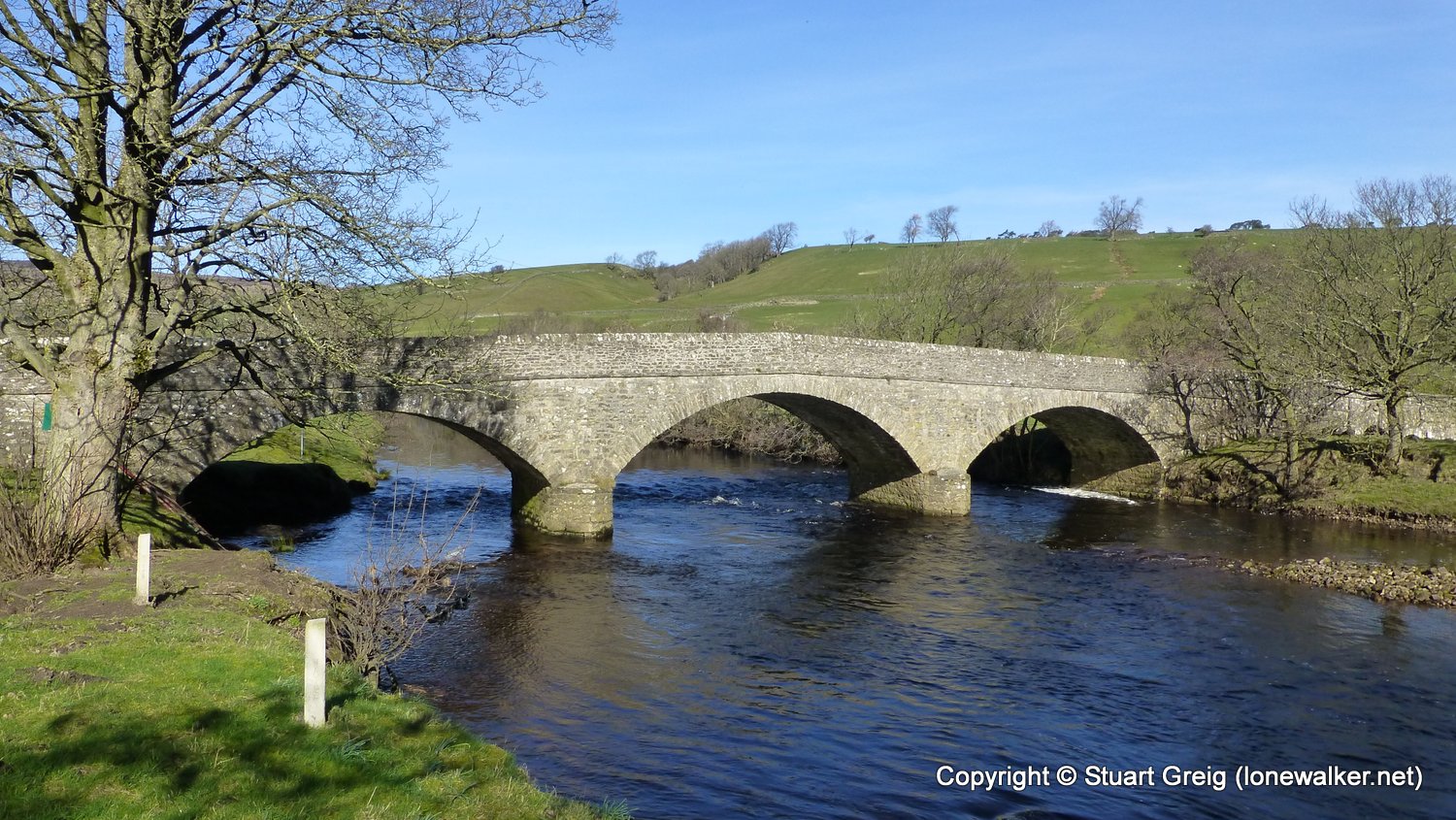
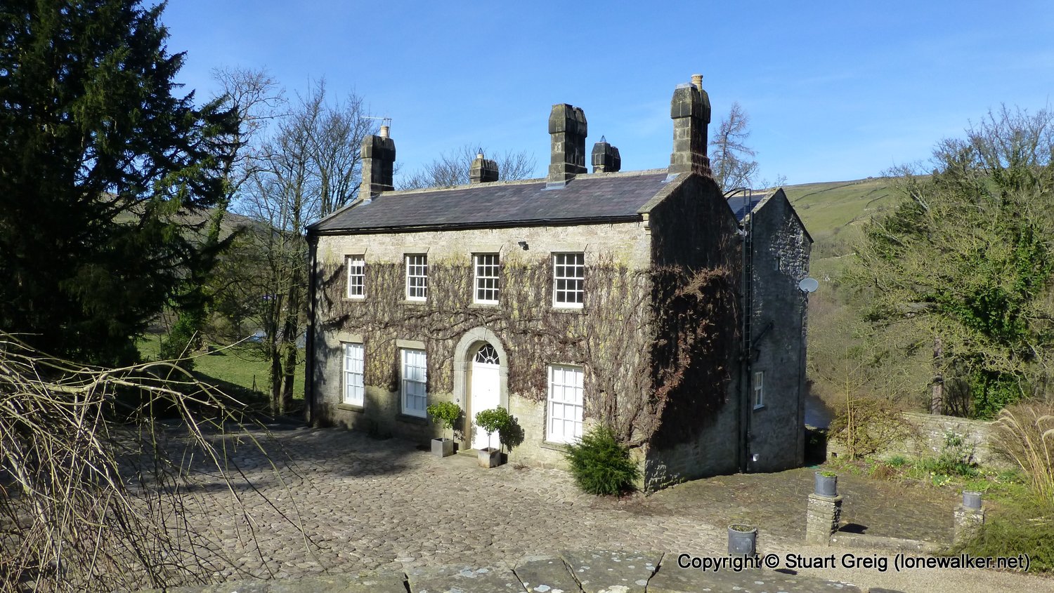
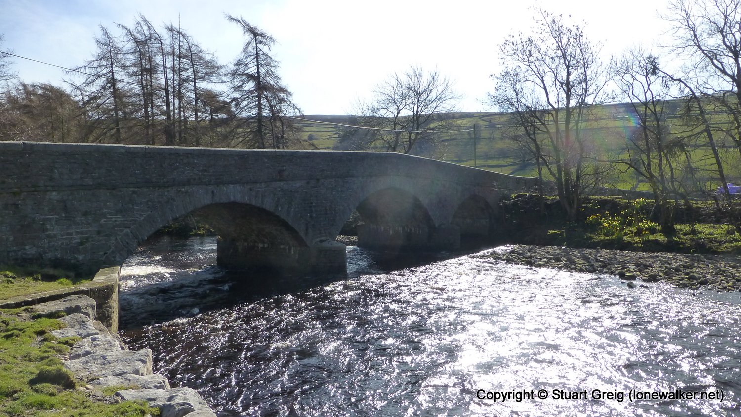
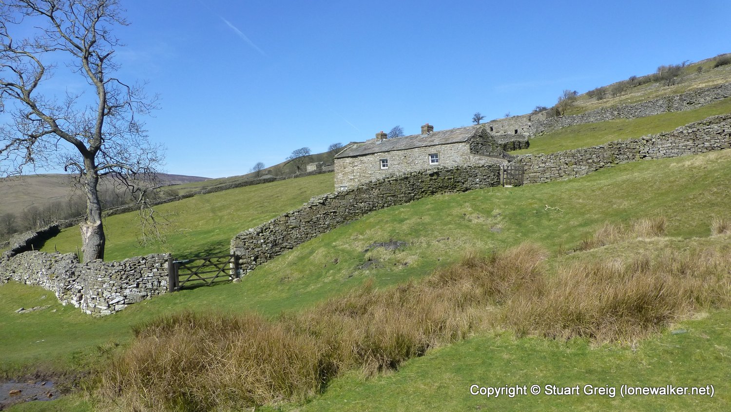
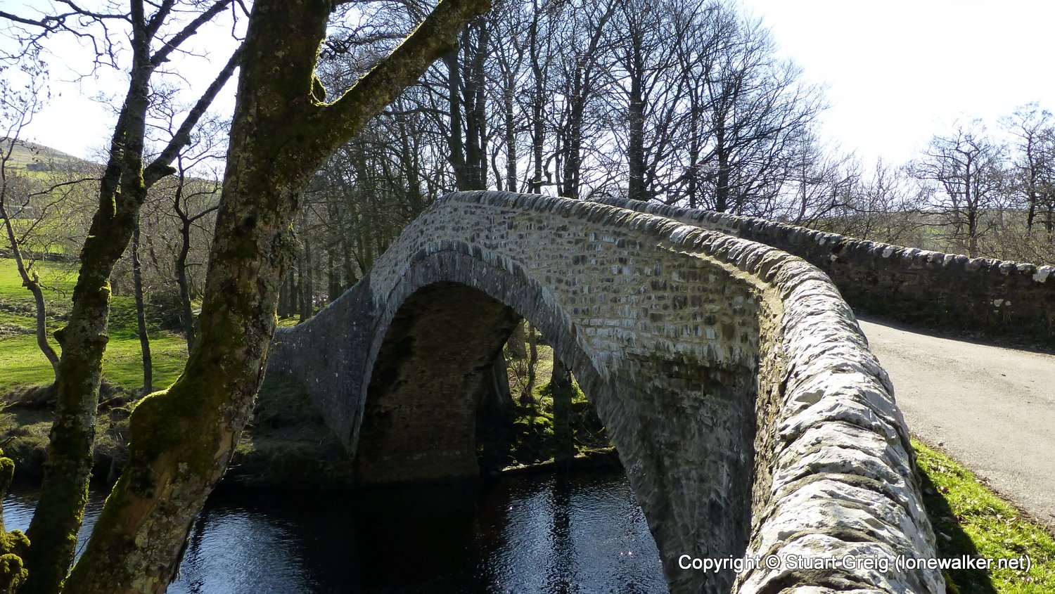
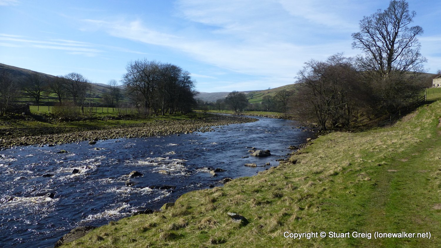
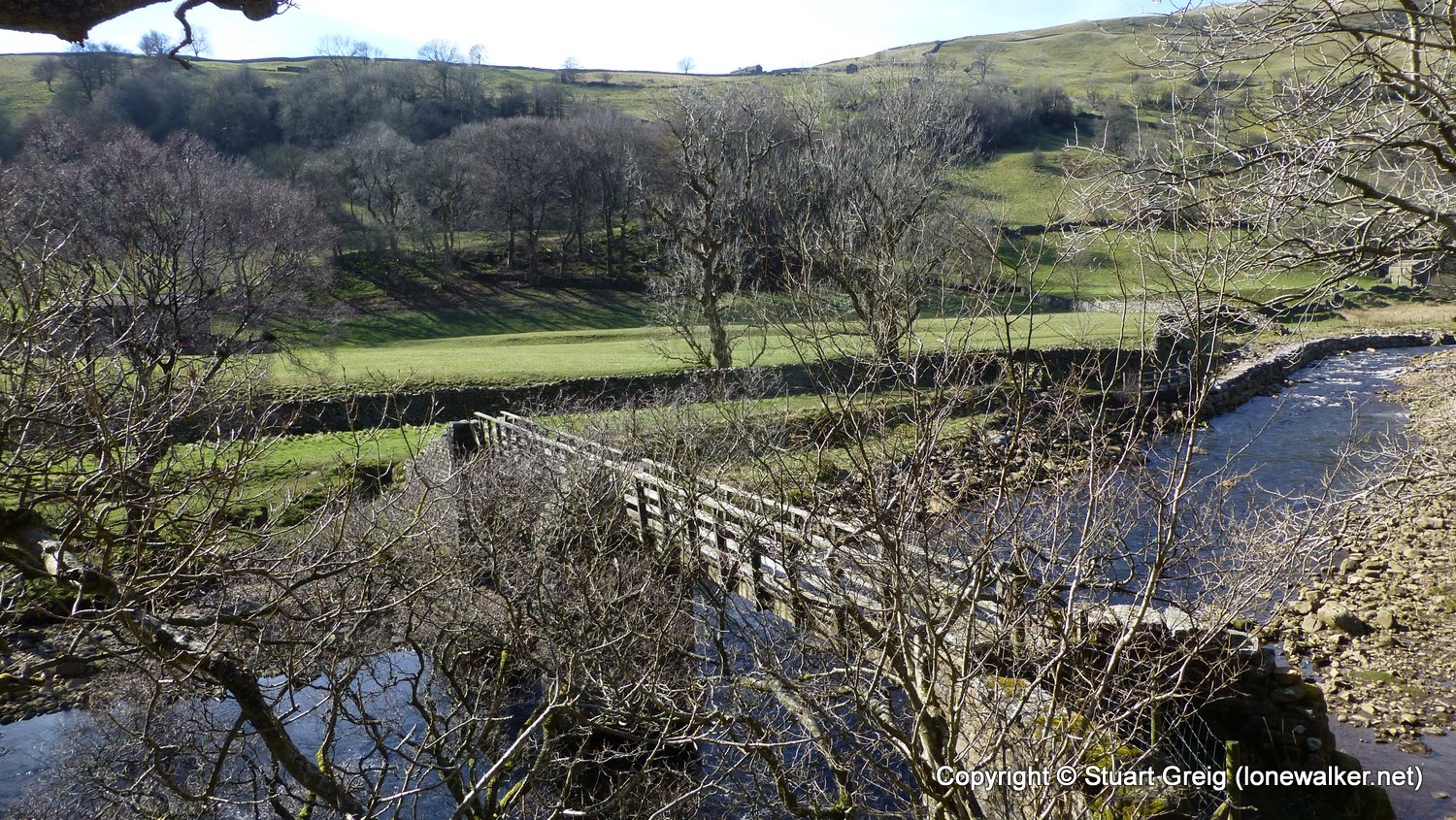
Route Description: Reeth, Swing Bridge, Scabba Wath, Low Whita, Low Lane, Isles Bridge, Smarber, Gunnerside, Ivelet Bridge, Rampsholme Bridge, Kisdon Gorge, Keld
Parking Grid Ref: SE 03868 99297
View Parking space in: OS Map or Google Street View
Walking with:
Long Distance Path: Swale Way
Link to full Walk Report: https://lonewalker.net/swale-way-reeth-to-keld/
Download GPX file for this walk:
If your browser opens the file directly, right click and "Save As.."
Click any image to open the full screen photo gallery
 behind")


Walk Name: Richmond to Reeth
Date: 2017-03-11
Distance: 13.4 mls, 21.57 km
Height Gain: 2400 ft, 731.5 m
Walk Name: Keld to Kirkby Stephen
Date: 2017-04-10
Distance: 13.6 mls, 21.89 km
Height Gain: 1900 ft, 579.1 m