
Abandoned walk and wildcamp to Mallerstang ridge and the sources of the Swale, Ure and Eden. Taxi back to the car in Keld.
Date: 2017-04-11
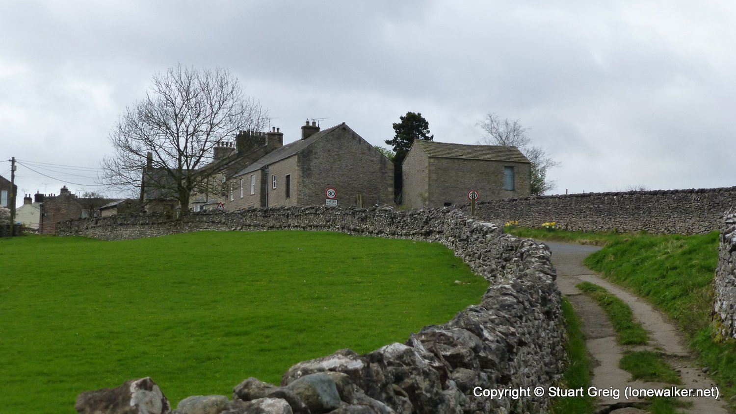
Start: Kirkby Stephen Finish: Nateby
Distance: 2.1 mls, 3.38 km
Height Gain: 200 ft, 61.0 m
Start Time: 09:05 End Time: 10:25
Duration: 01:20
Ave Speed: 1.5 mph
Region: Yorkshire Dales
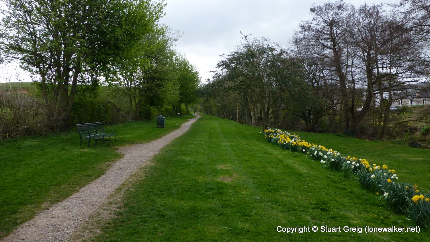
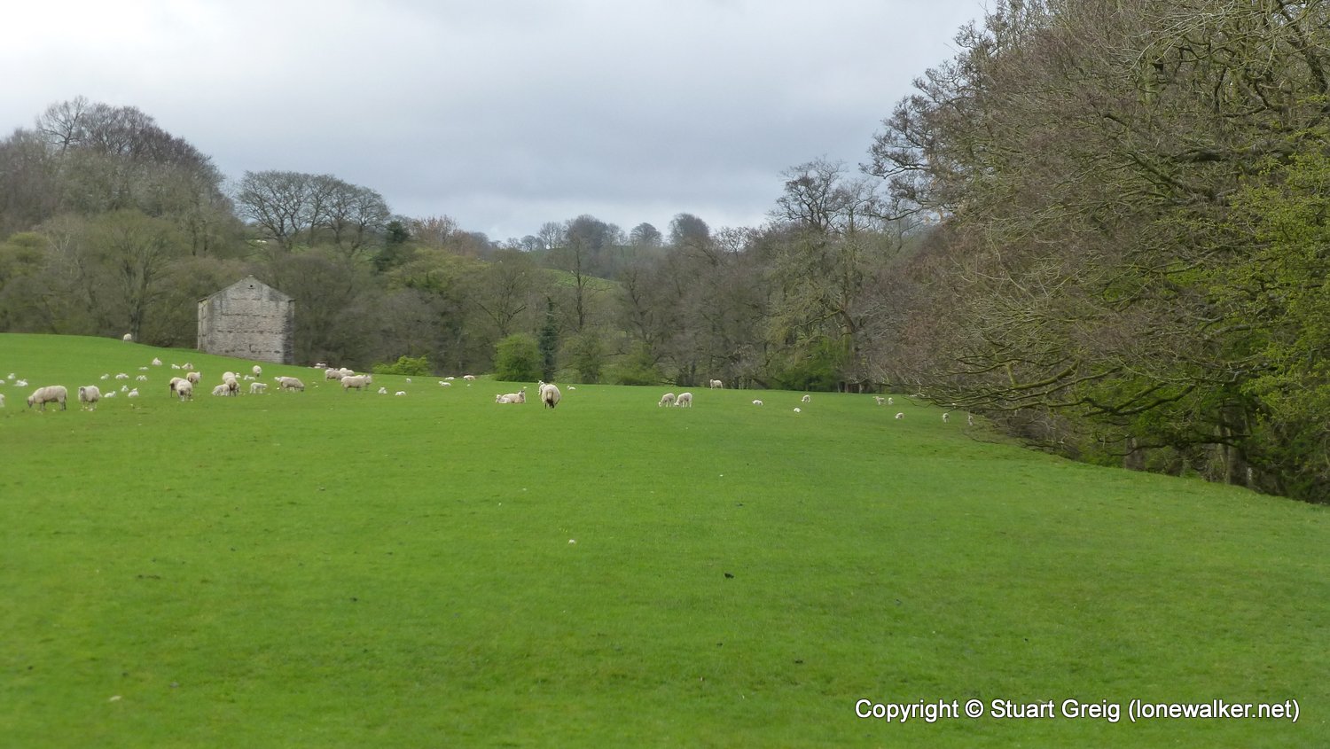
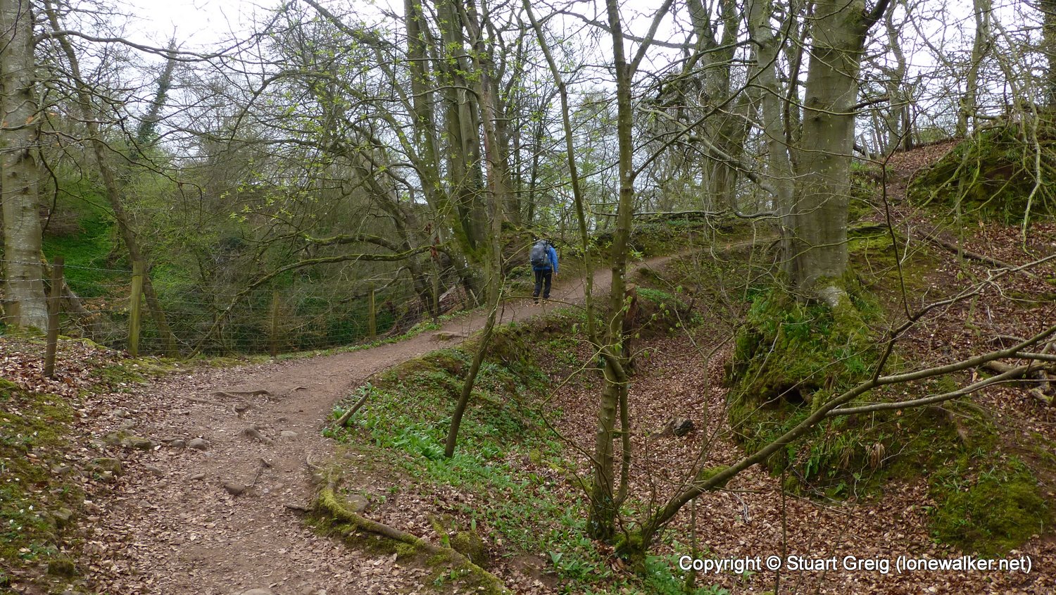
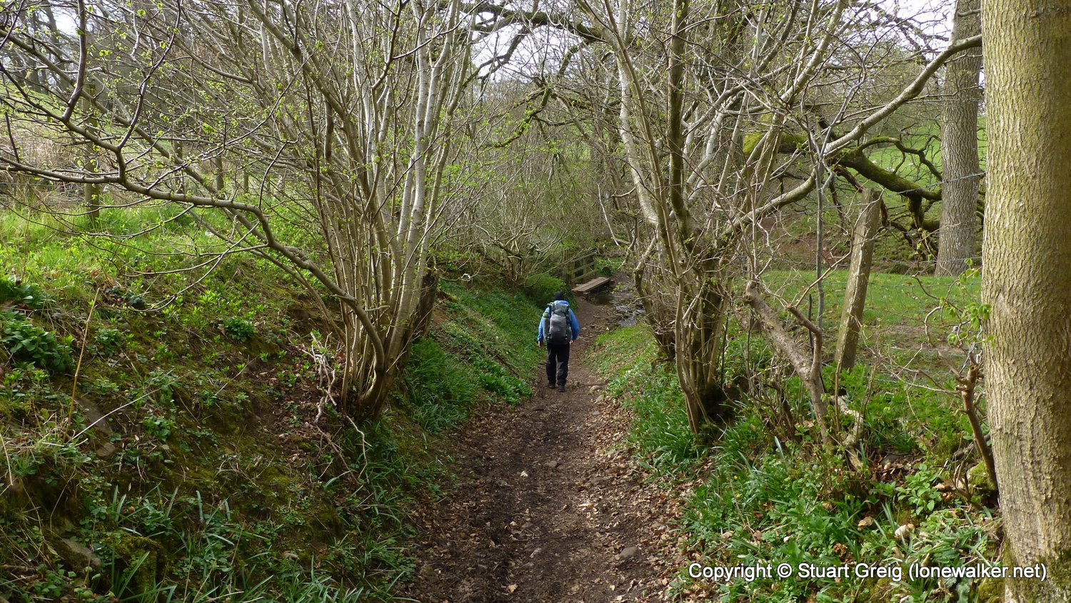
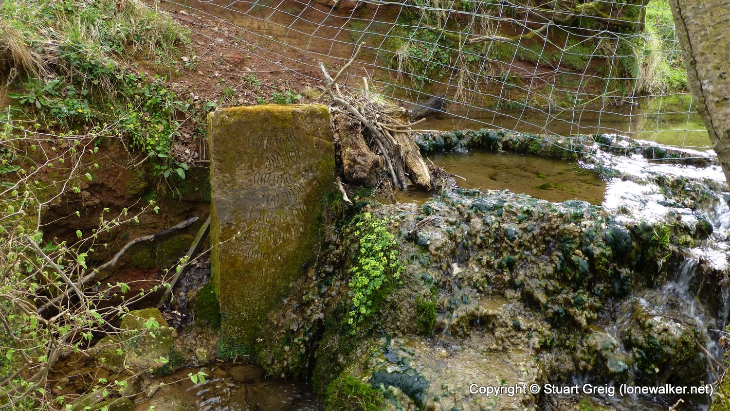
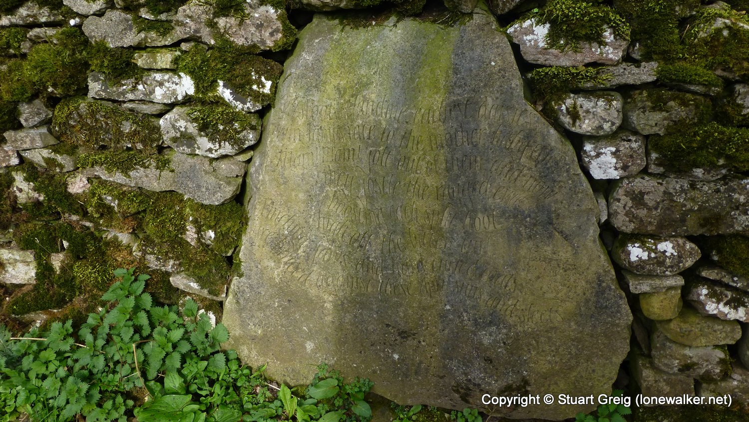
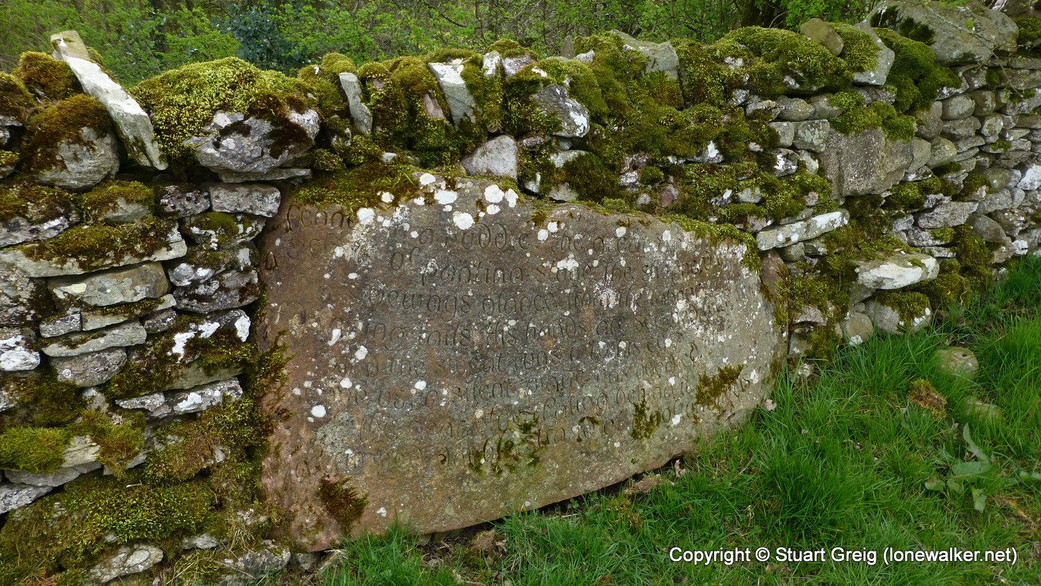
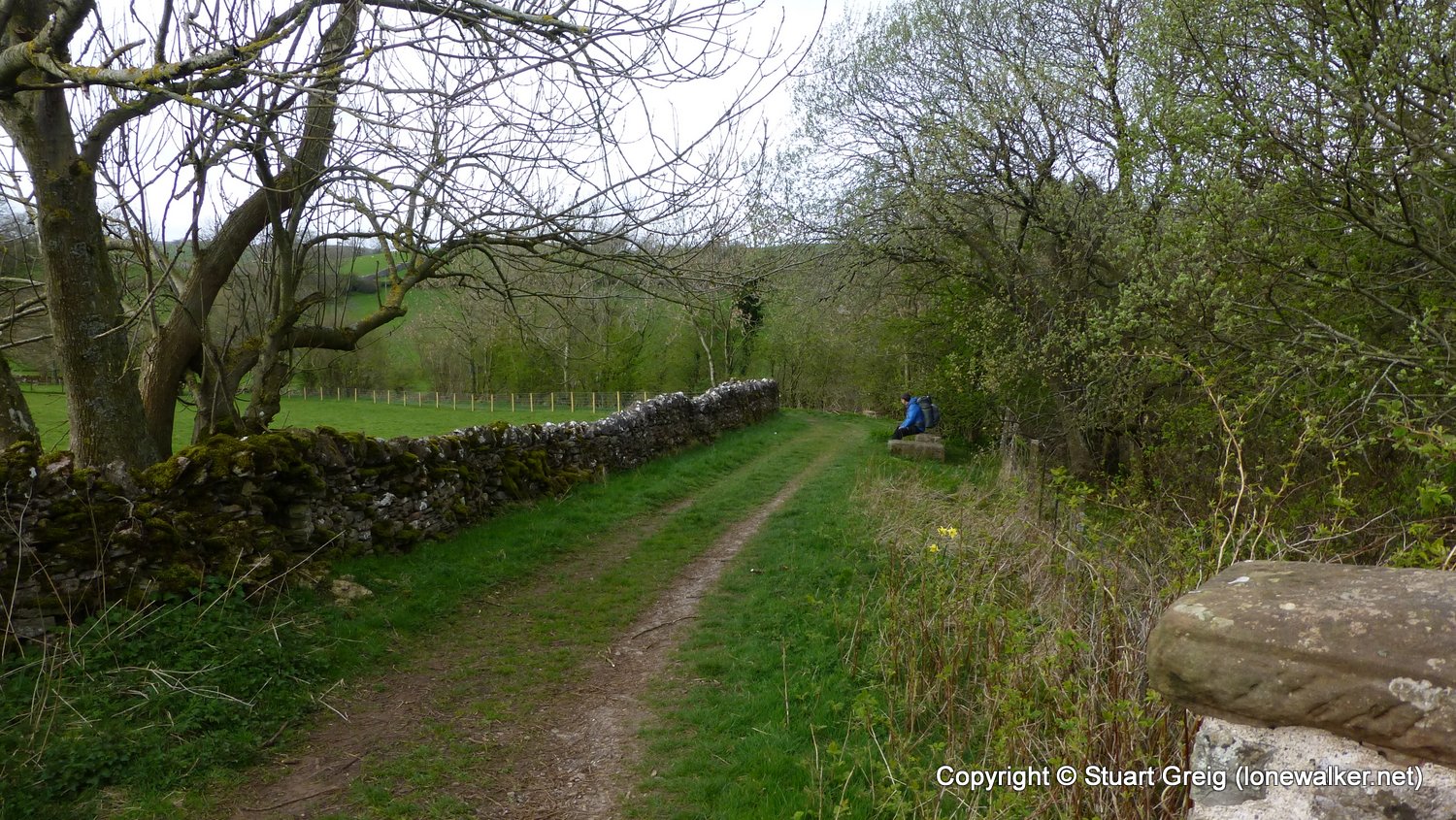
Route Description: Kirkby Stephen, Franks Bridge, Castle Hill, nateby
Parking Grid Ref:
View Parking space in: OS Map or Google Street View
Walking with: Chris Pilgrim
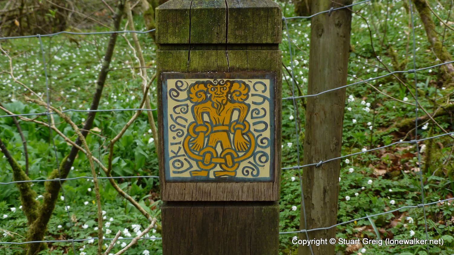
Long Distance Path:
Click any image to open the full screen photo gallery


Walk Name: Keld to Kirkby Stephen
Date: 2017-04-10
Distance: 13.6 mls, 21.89 km
Height Gain: 1900 ft, 579.1 m
Walk Name: Morton-on-Swale to Richmond
Date: 2017-05-13
Distance: 16.7 mls, 26.88 km
Height Gain: 800 ft, 243.8 m