
Date: 2017-06-17
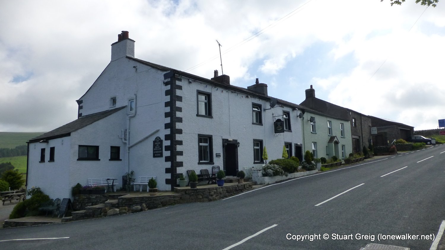
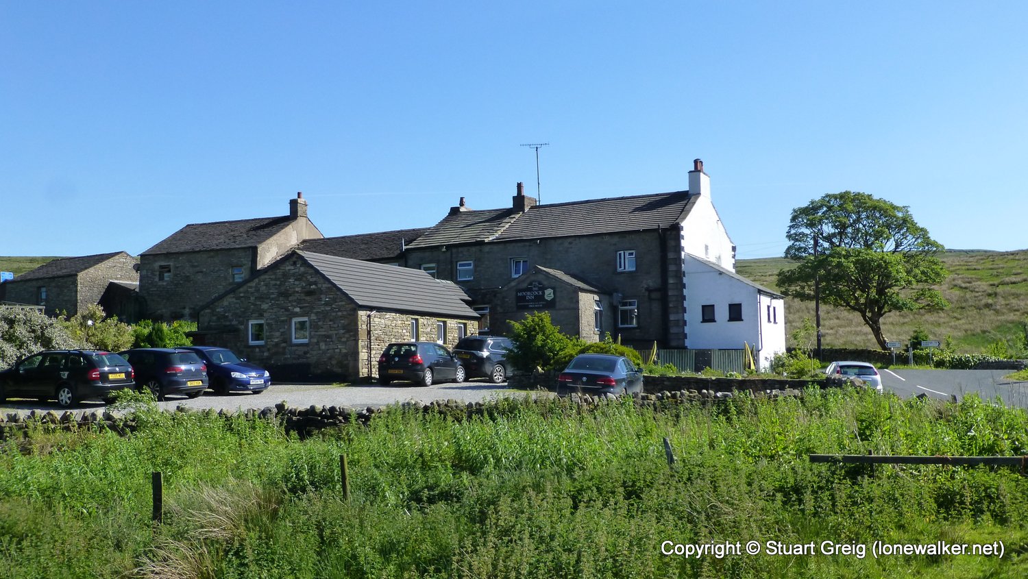
Start: Kirkby Stephen Station Finish: Moorcock Inn
Distance: 12.9 mls, 20.76 km
Height Gain: 1700 ft, 518.2 m
Start Time: 10:55 End Time: 17:00
Duration: 06:05
Ave Speed: 2.1 mph
Region: Yorkshire Dales
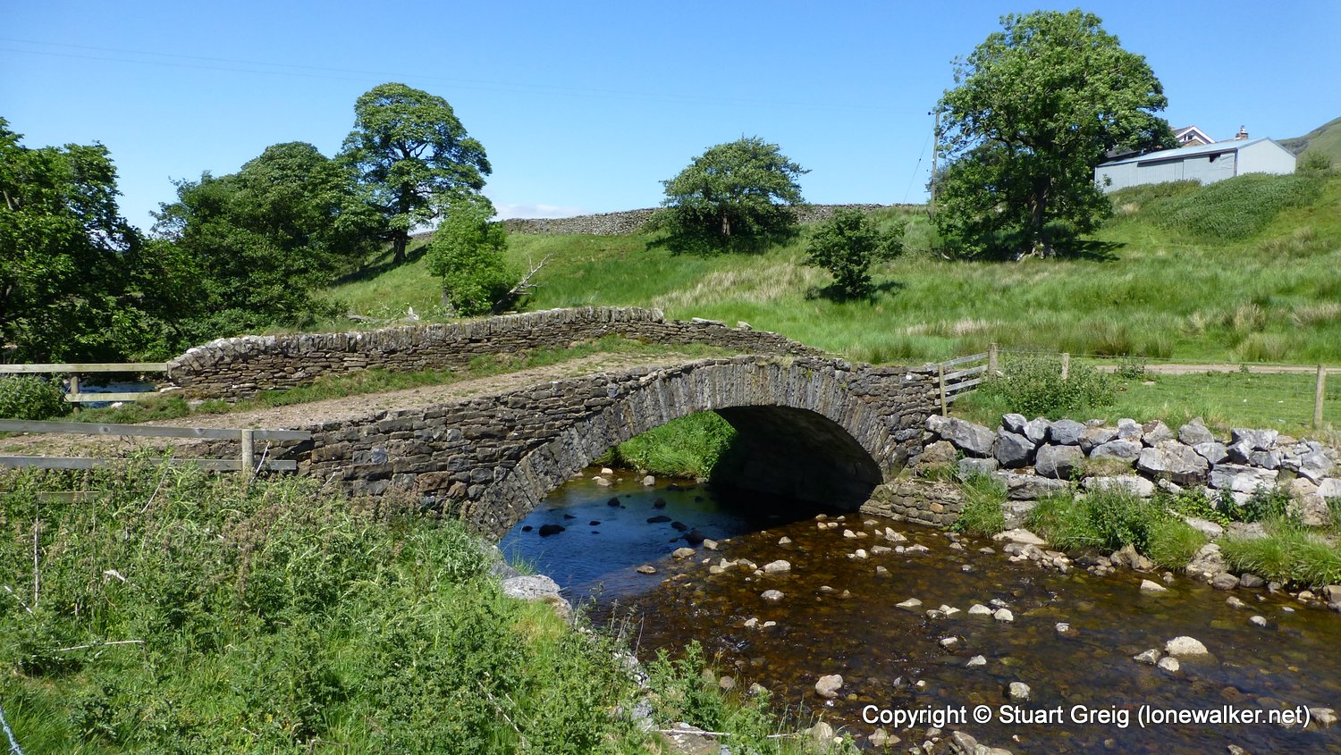
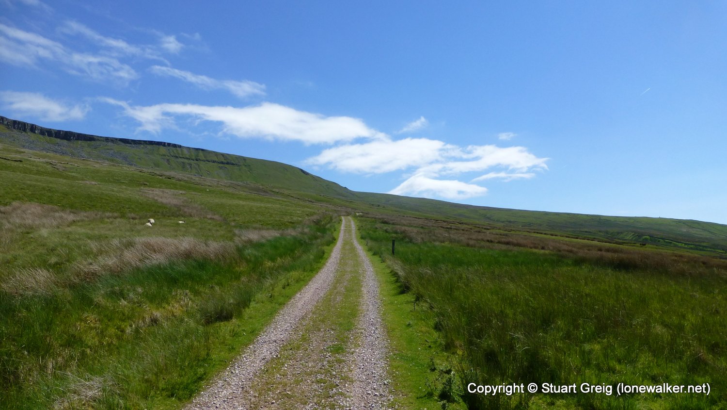
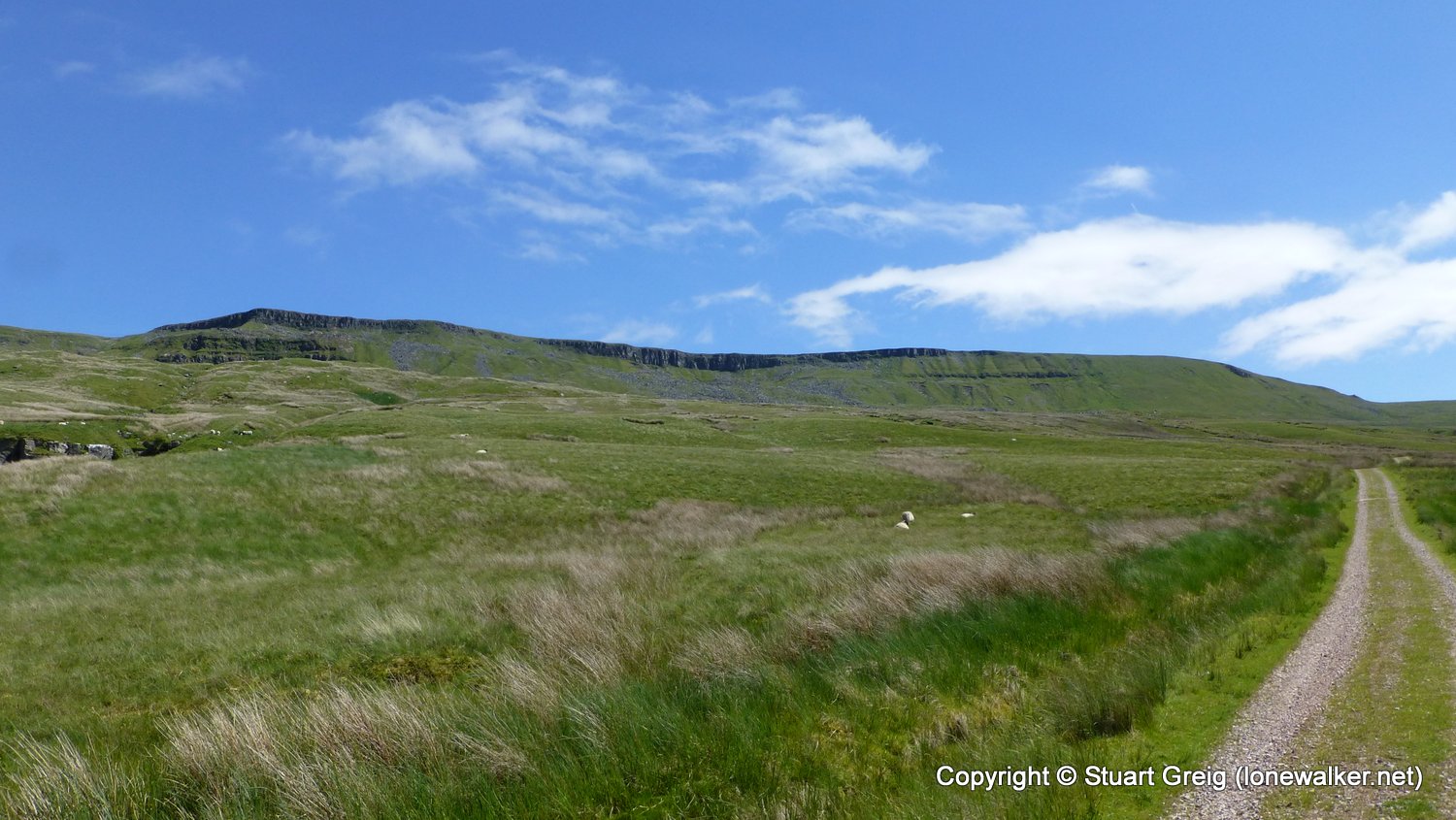
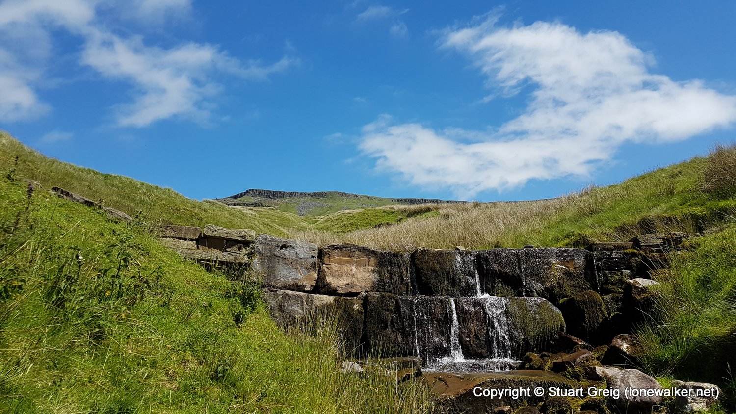
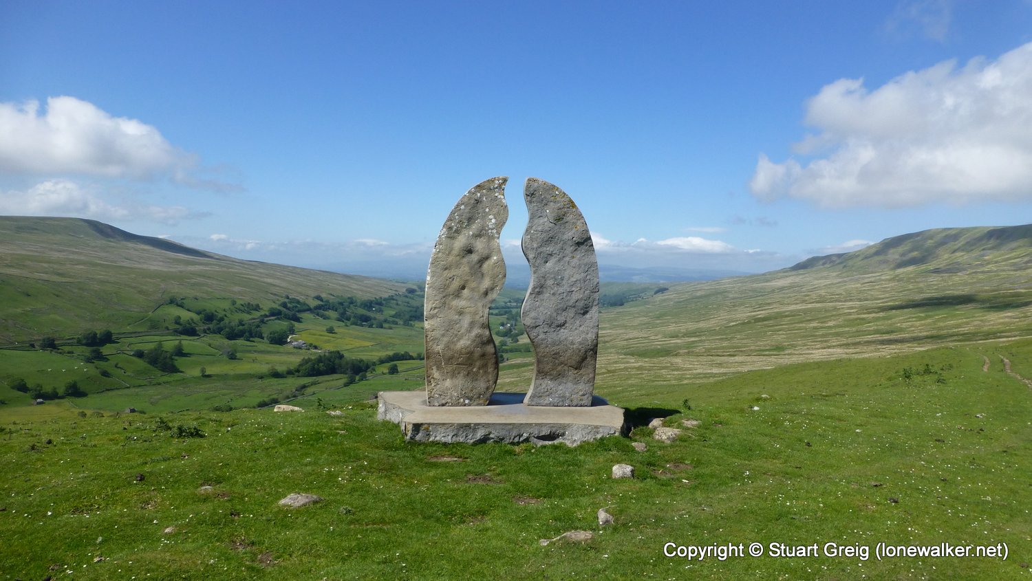
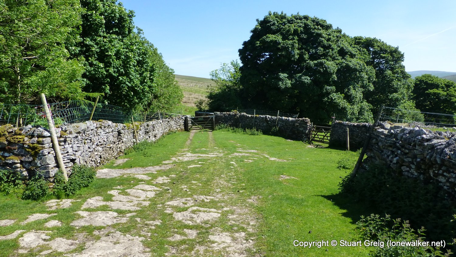
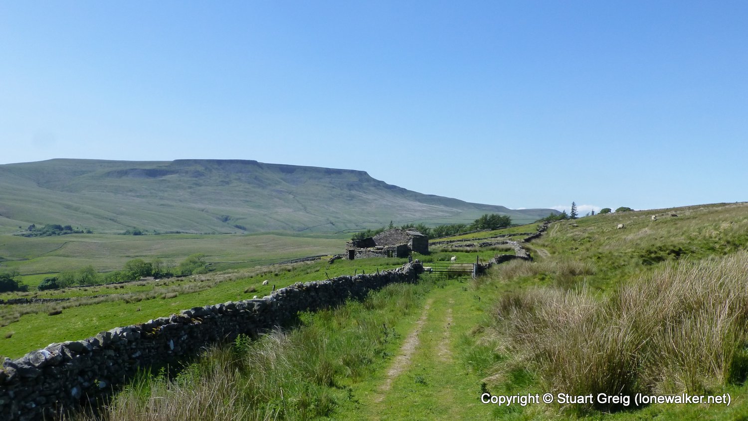
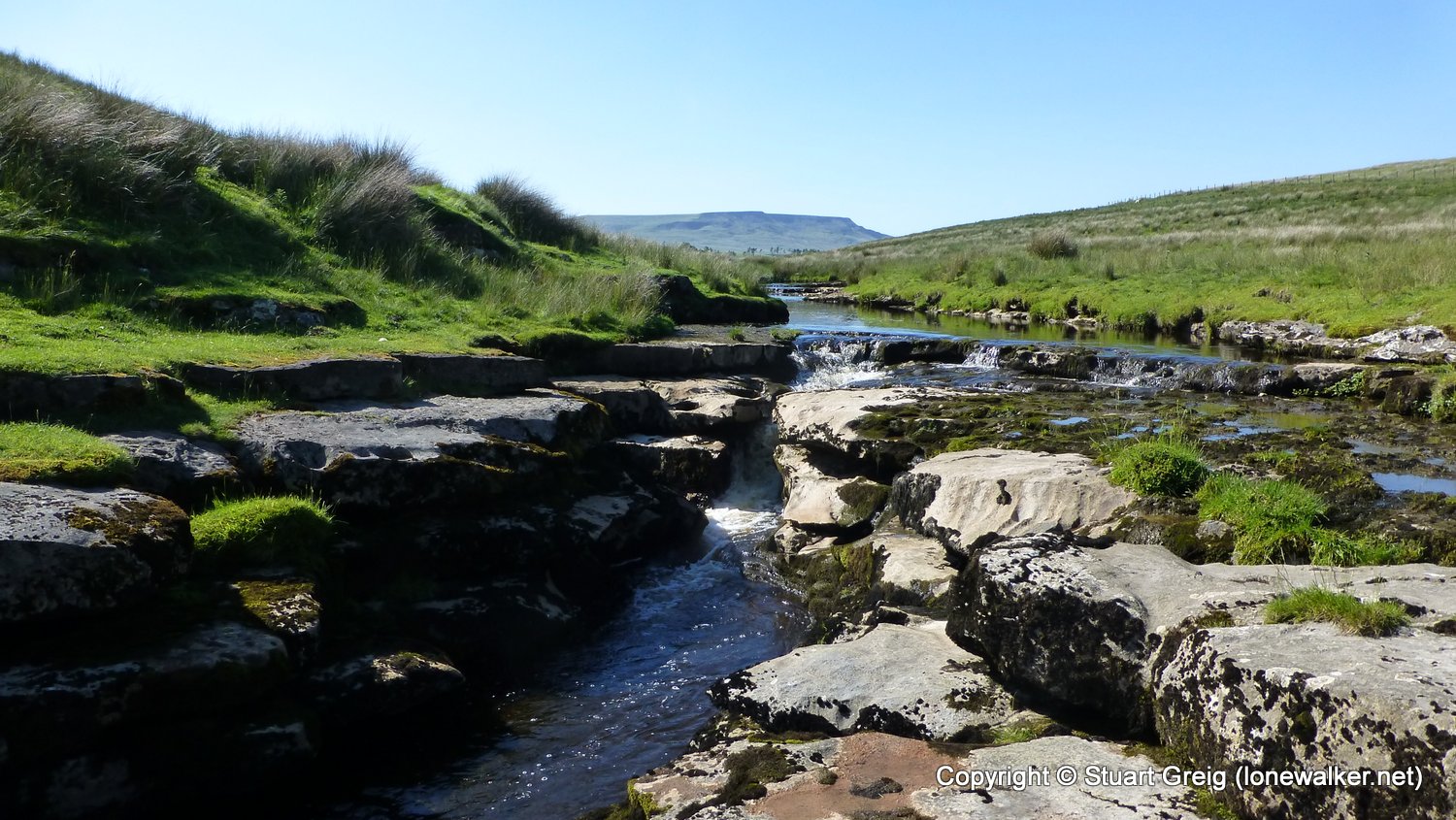
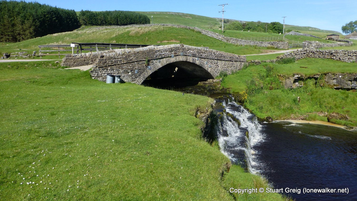
Route Description: Kirkby Stephen Station, Halfpenny House, Nateby, Mire Close Bridge, Lammerside Castle, Round Hill, Castle Bridge, Shoregill, The Thrang, Howe Top, Old Track, Hellgill Wold, Hell Gill Bridge, The High Way, Cobbles Plantation, Moorcock Inn
Parking Grid Ref: SD 78850 91795
View Parking space in: OS Map or Google Street View
Walking with:
Long Distance Path: Yoredale Way
Click any image to open the full screen photo gallery
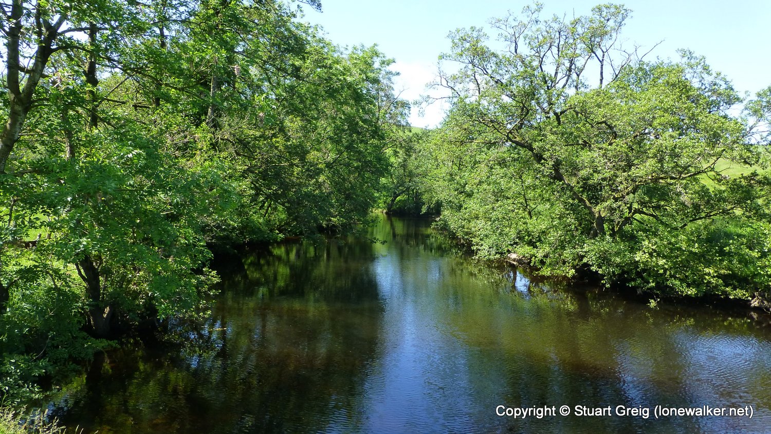
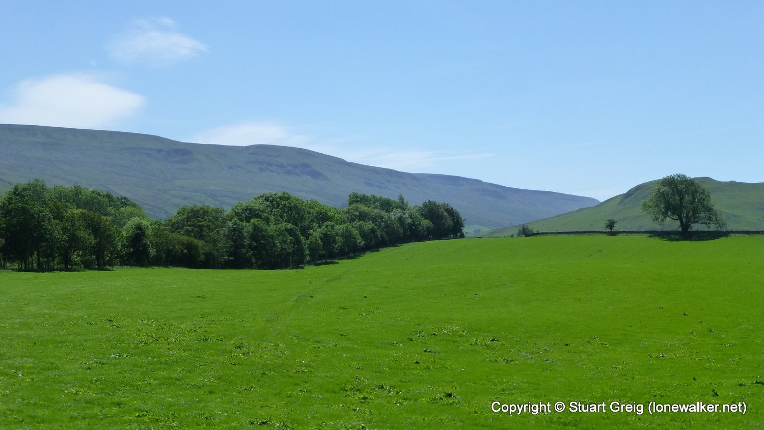
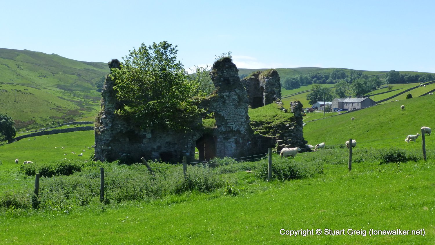
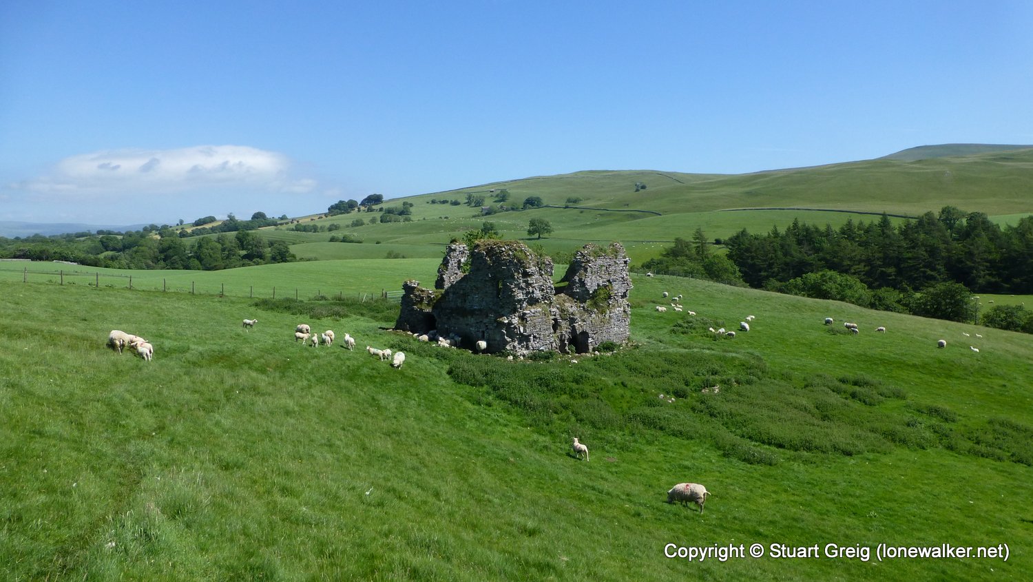
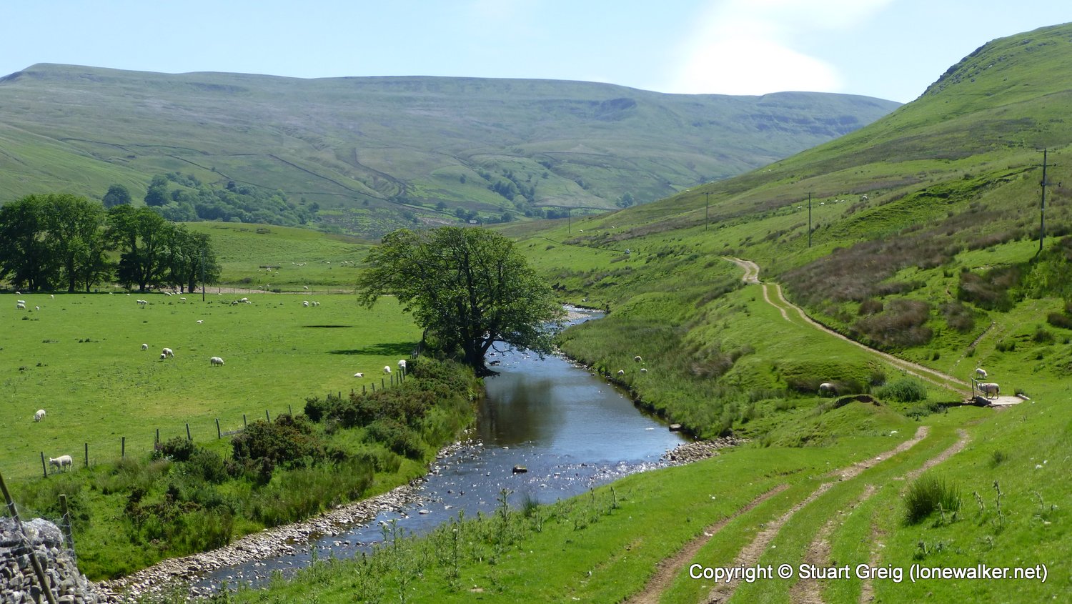
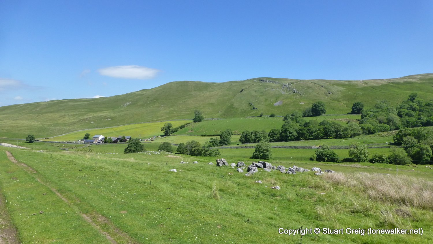
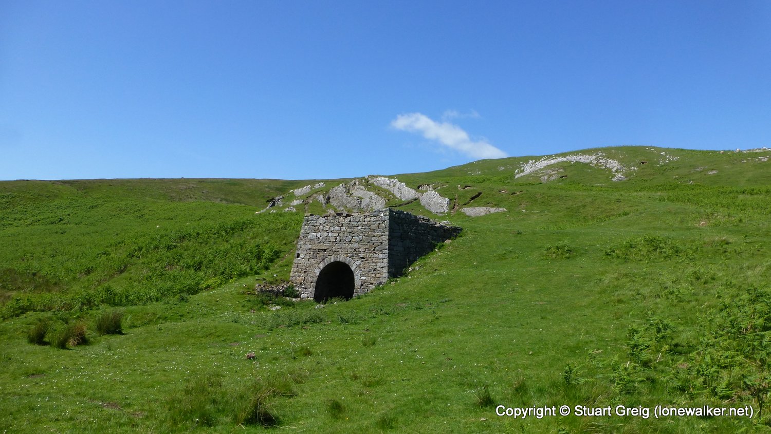
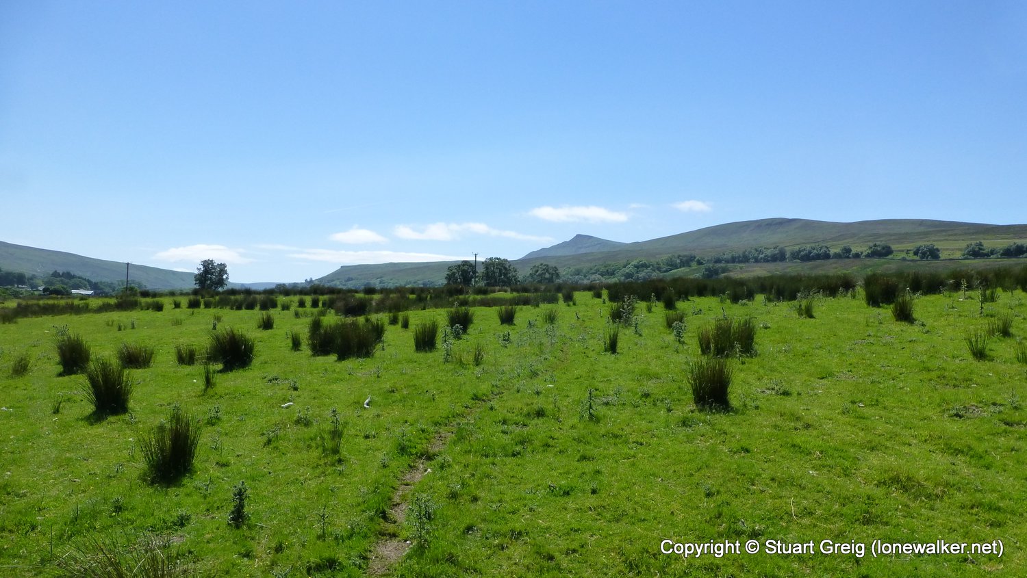


Walk Name: Aysgarth to Middleham
Date: 2017-06-03
Distance: 11.4 mls, 18.35 km
Height Gain: 1600 ft, 487.7 m
Walk Name: Garsdale to Askrigg
Date: 2017-06-18
Distance: 12.6 mls, 20.28 km
Height Gain: 1000 ft, 304.8 m