
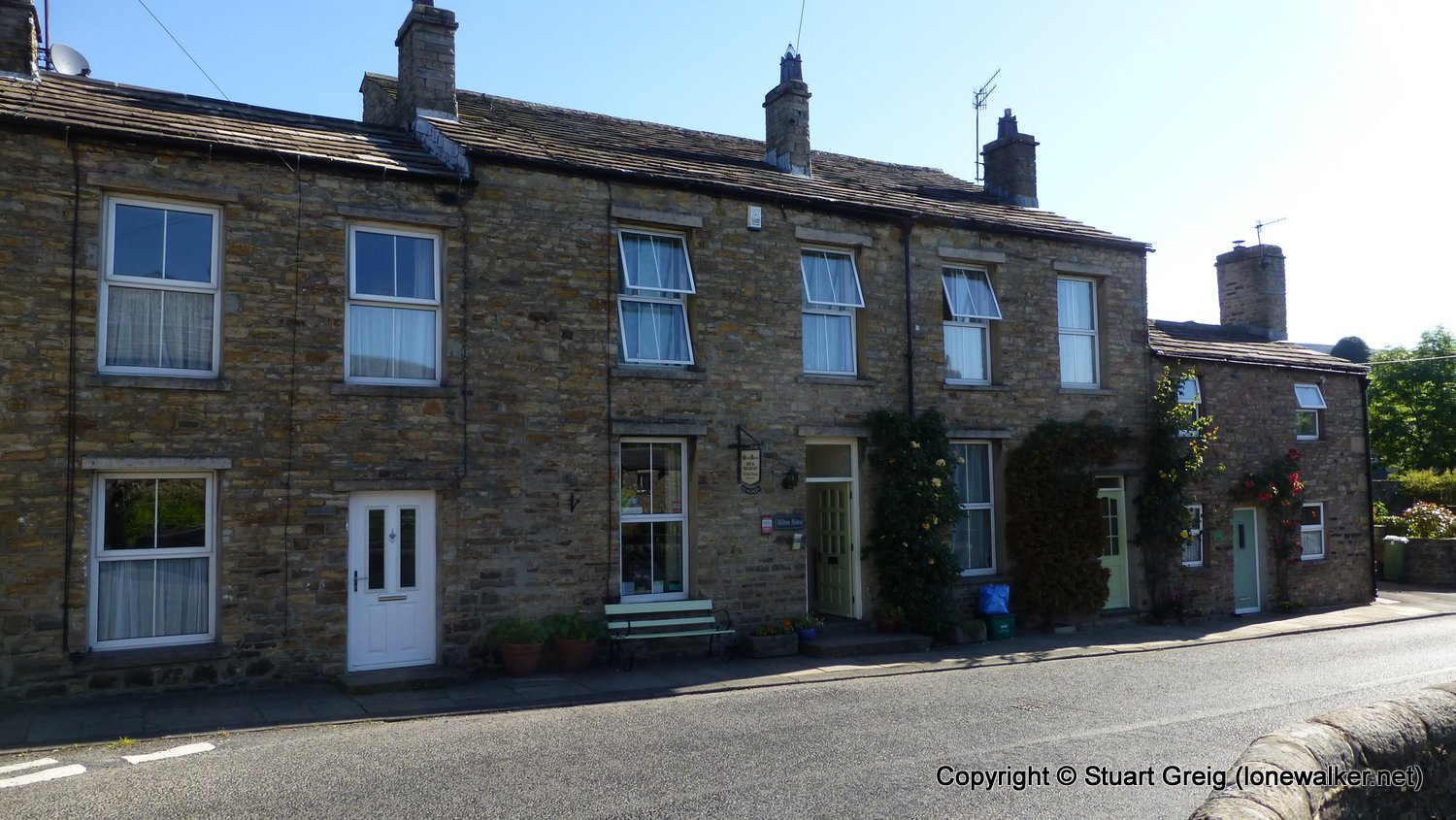
Date: 2017-06-19
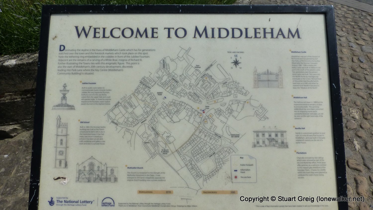
Start: Askrigg Finish: Middleham
Distance: 14.6 mls, 23.50 km
Height Gain: 800 ft, 243.8 m
Start Time: 08:30 End Time: 15:00
Duration: 06:30
Ave Speed: 2.3 mph
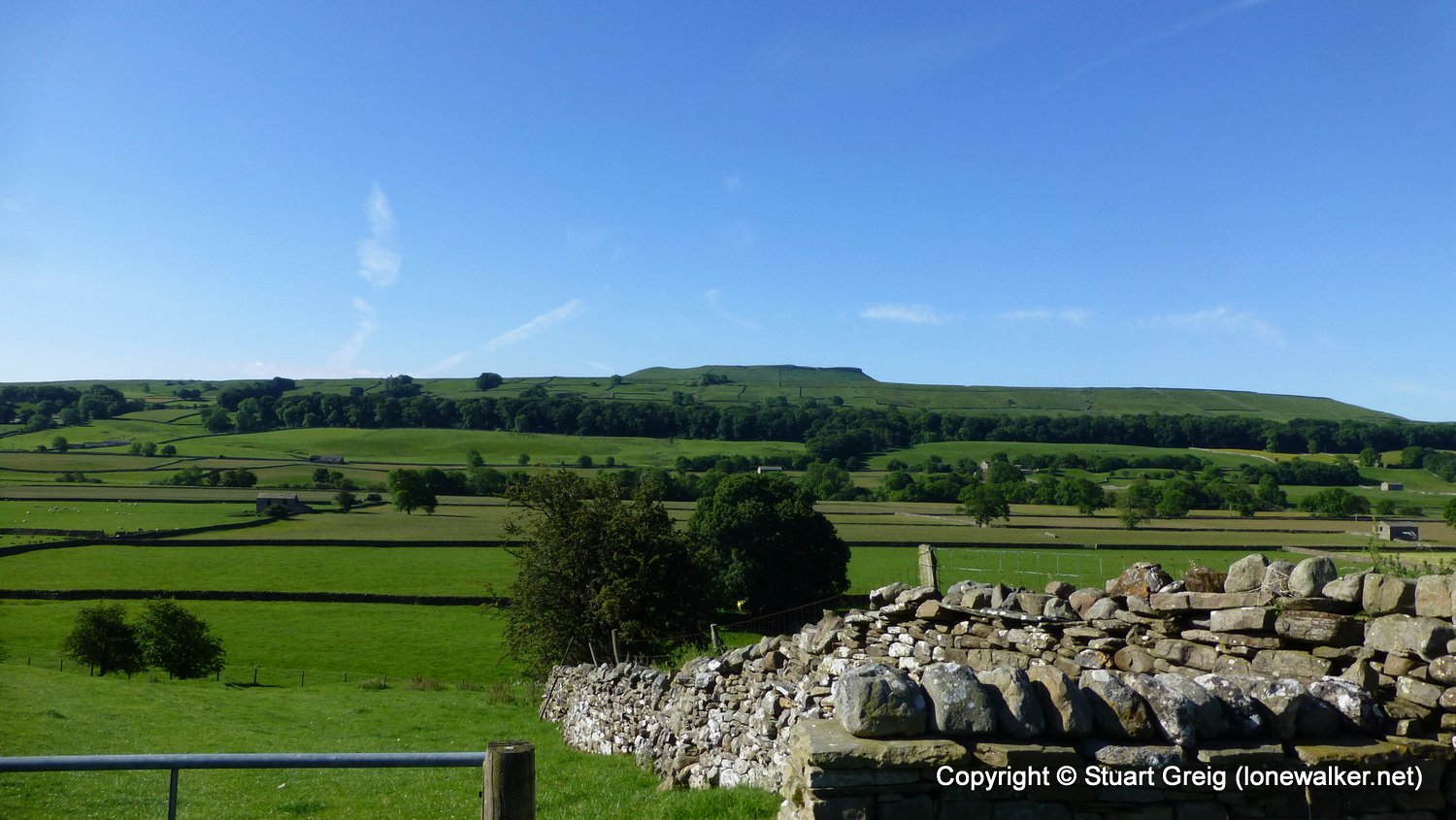
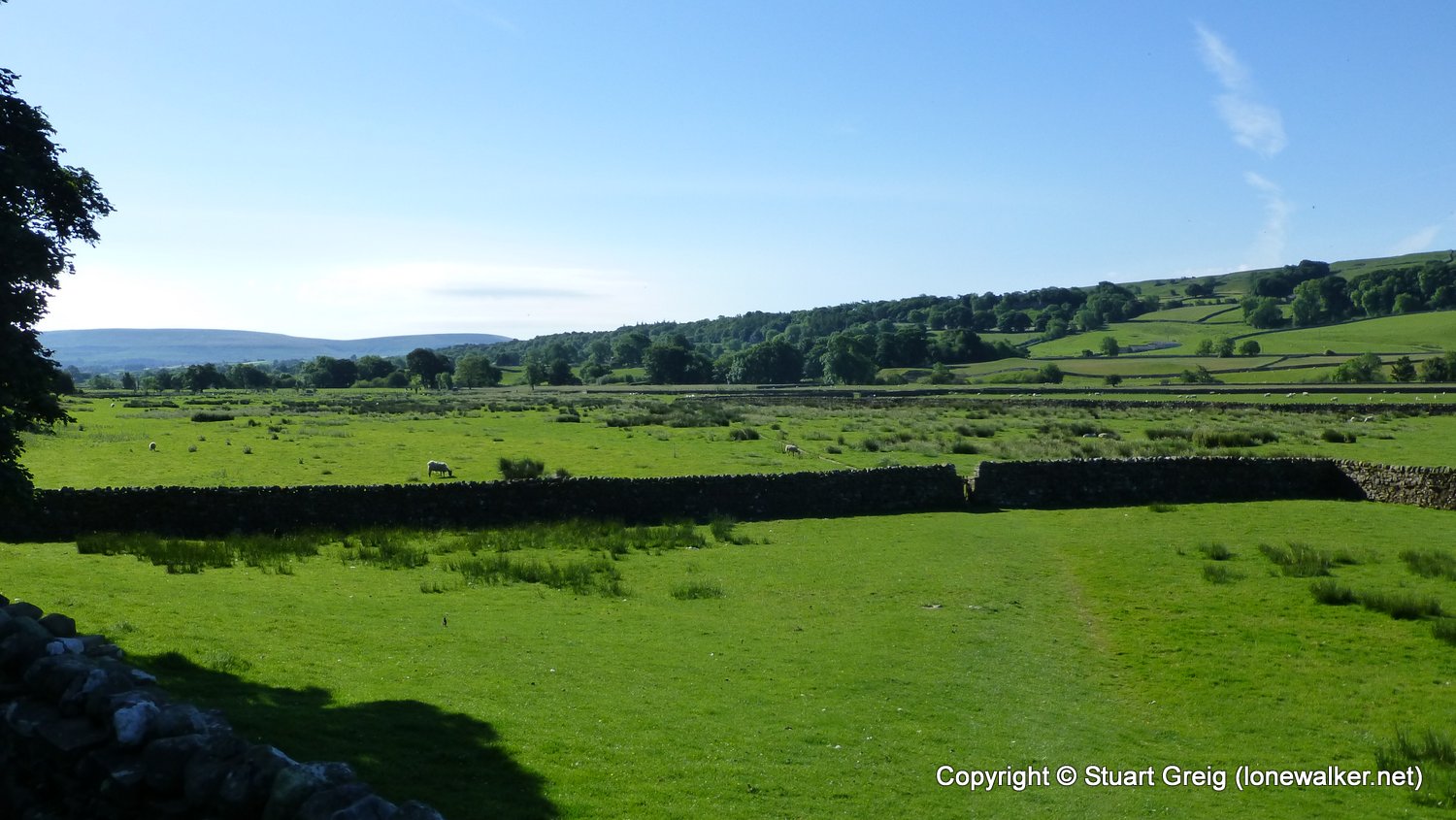
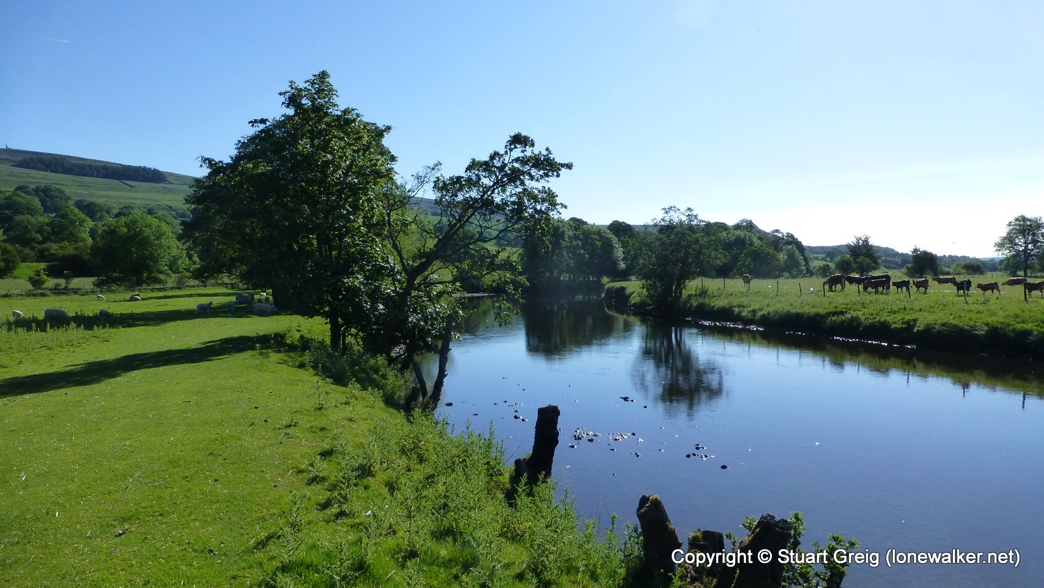
Region: Yorkshire Dales
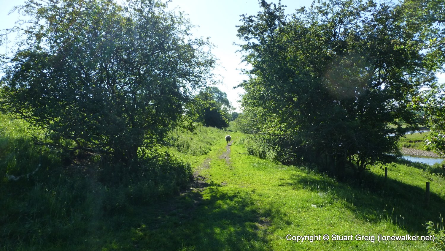
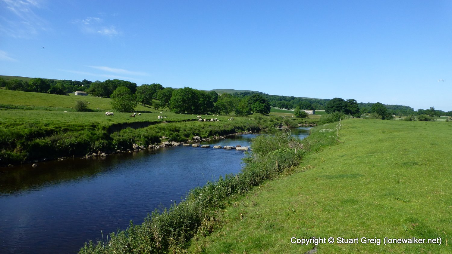
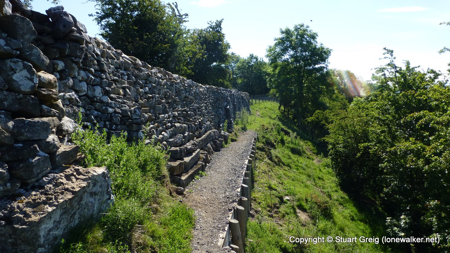
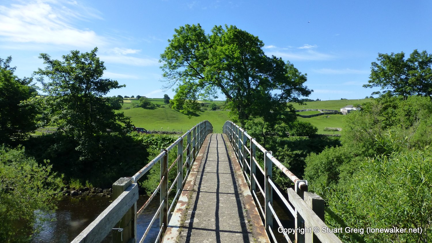
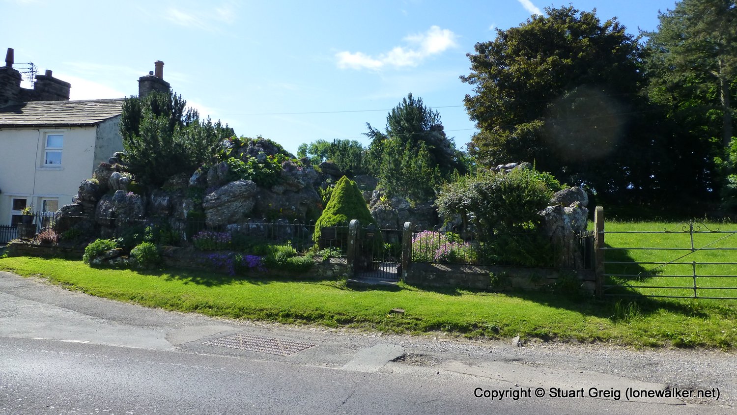
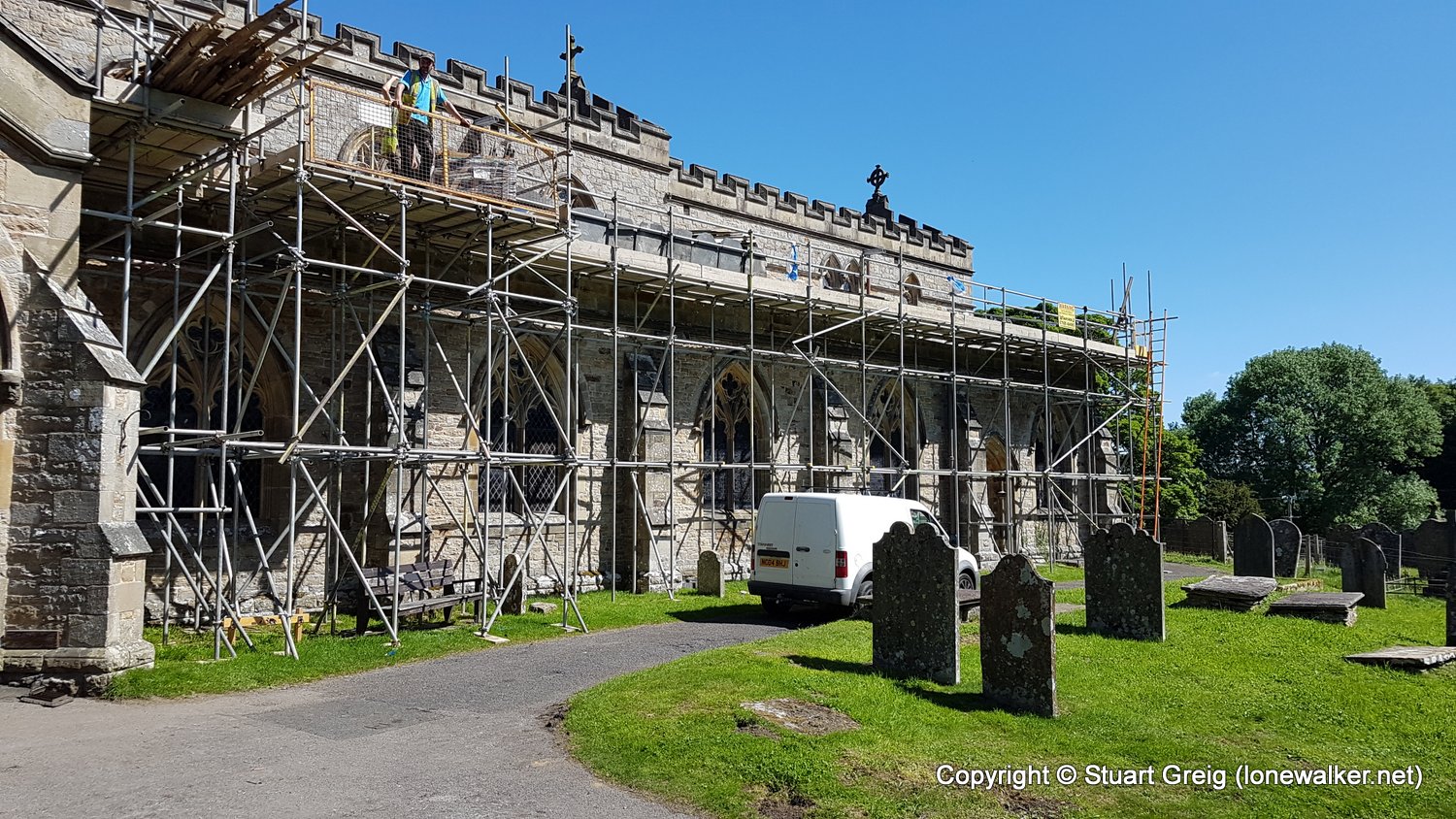
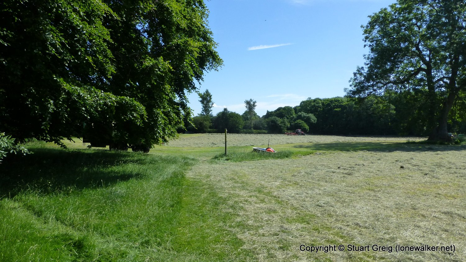
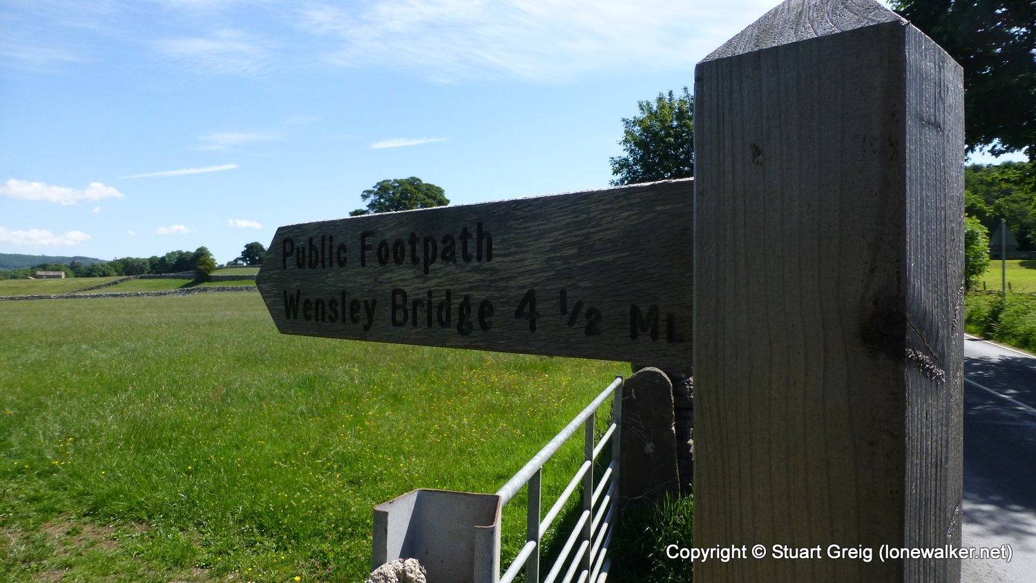
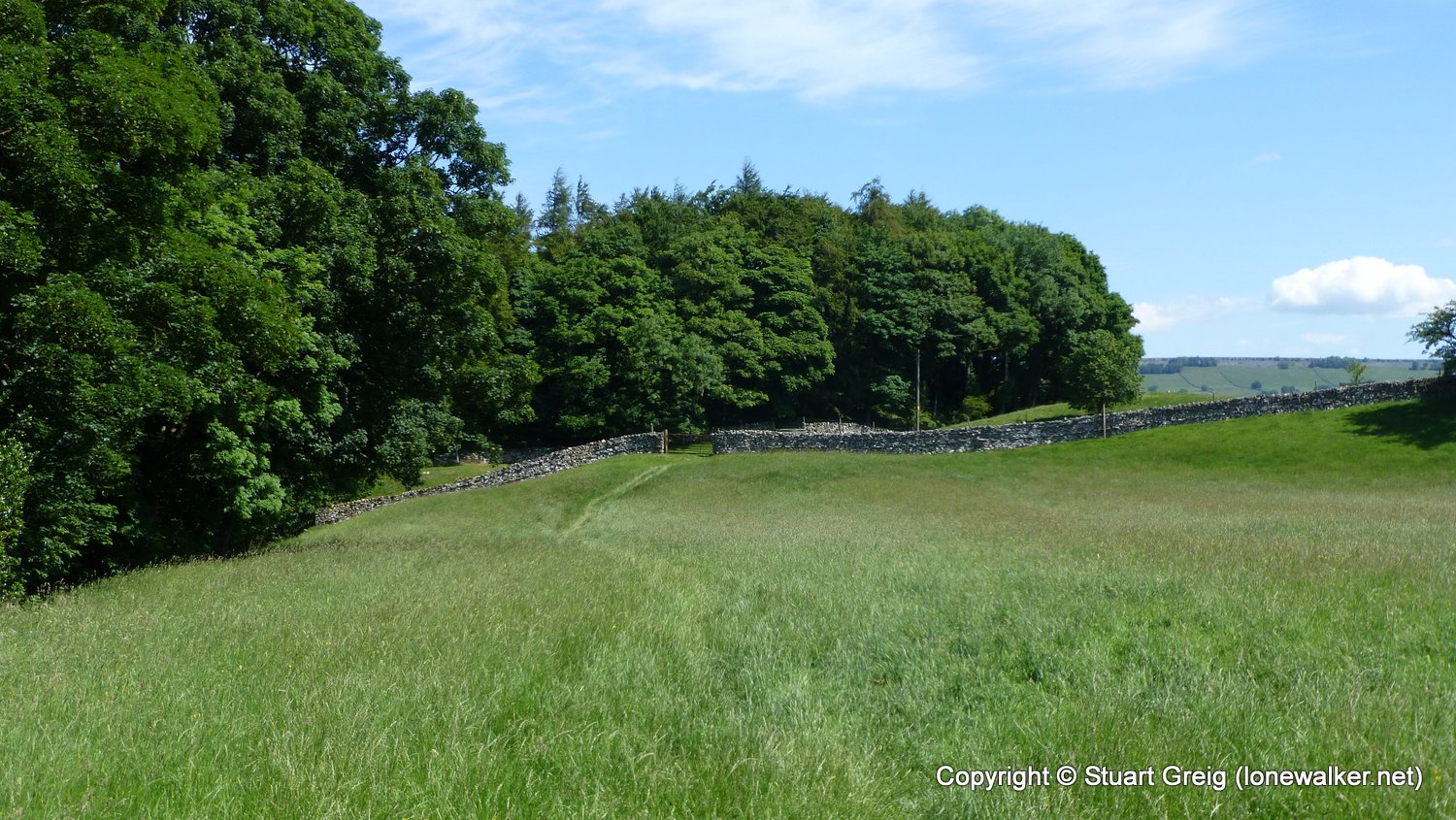
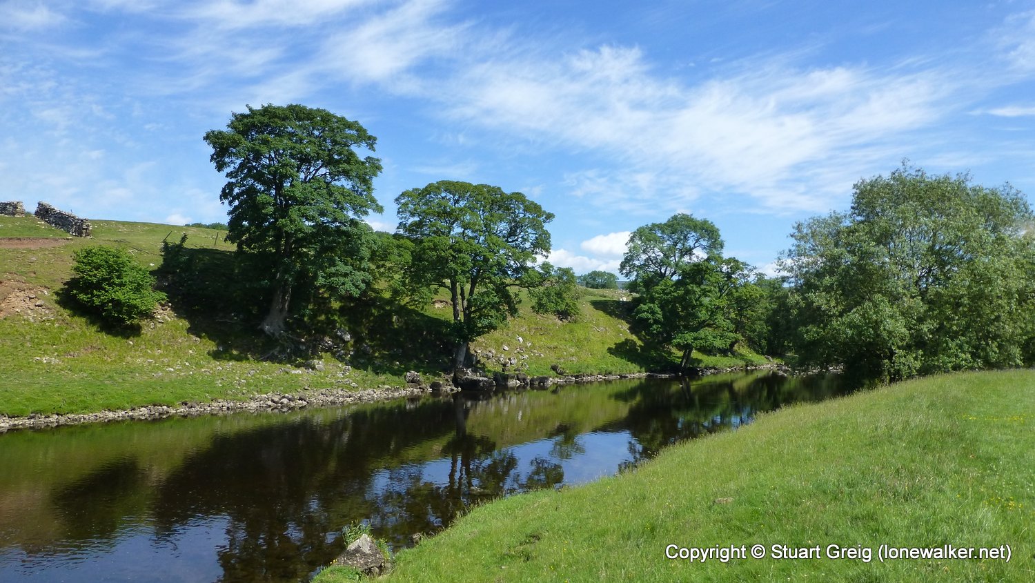
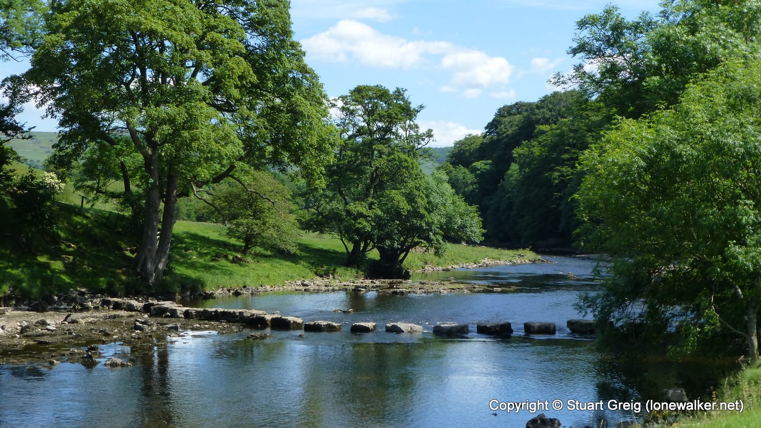
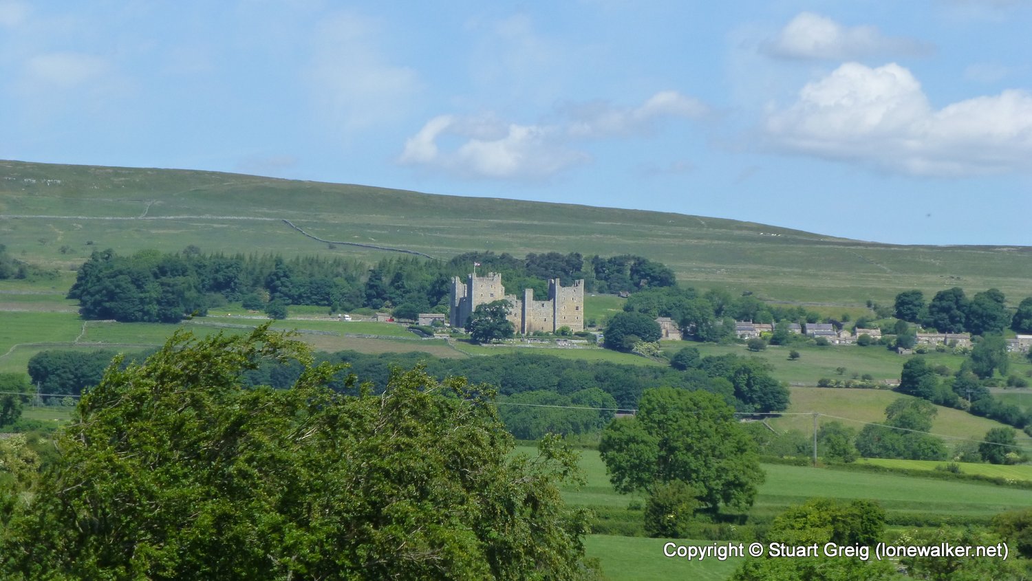
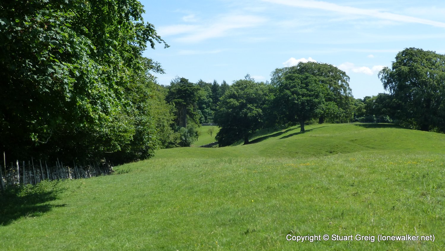
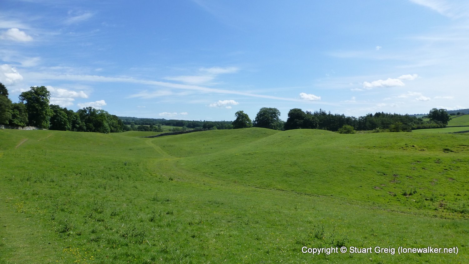
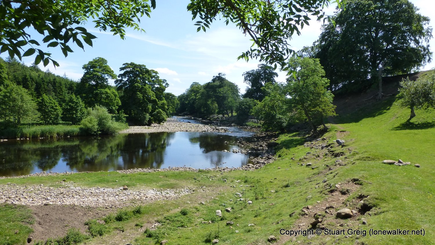
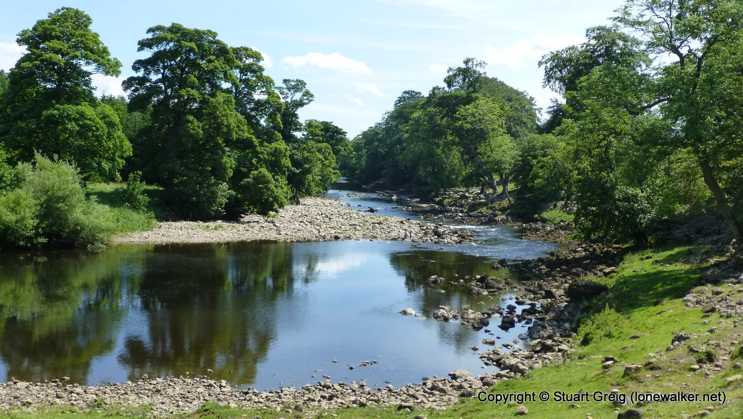
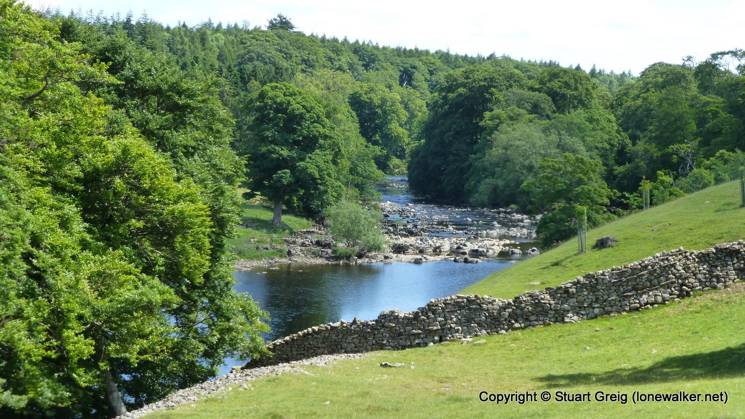
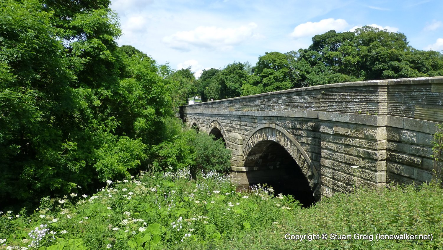
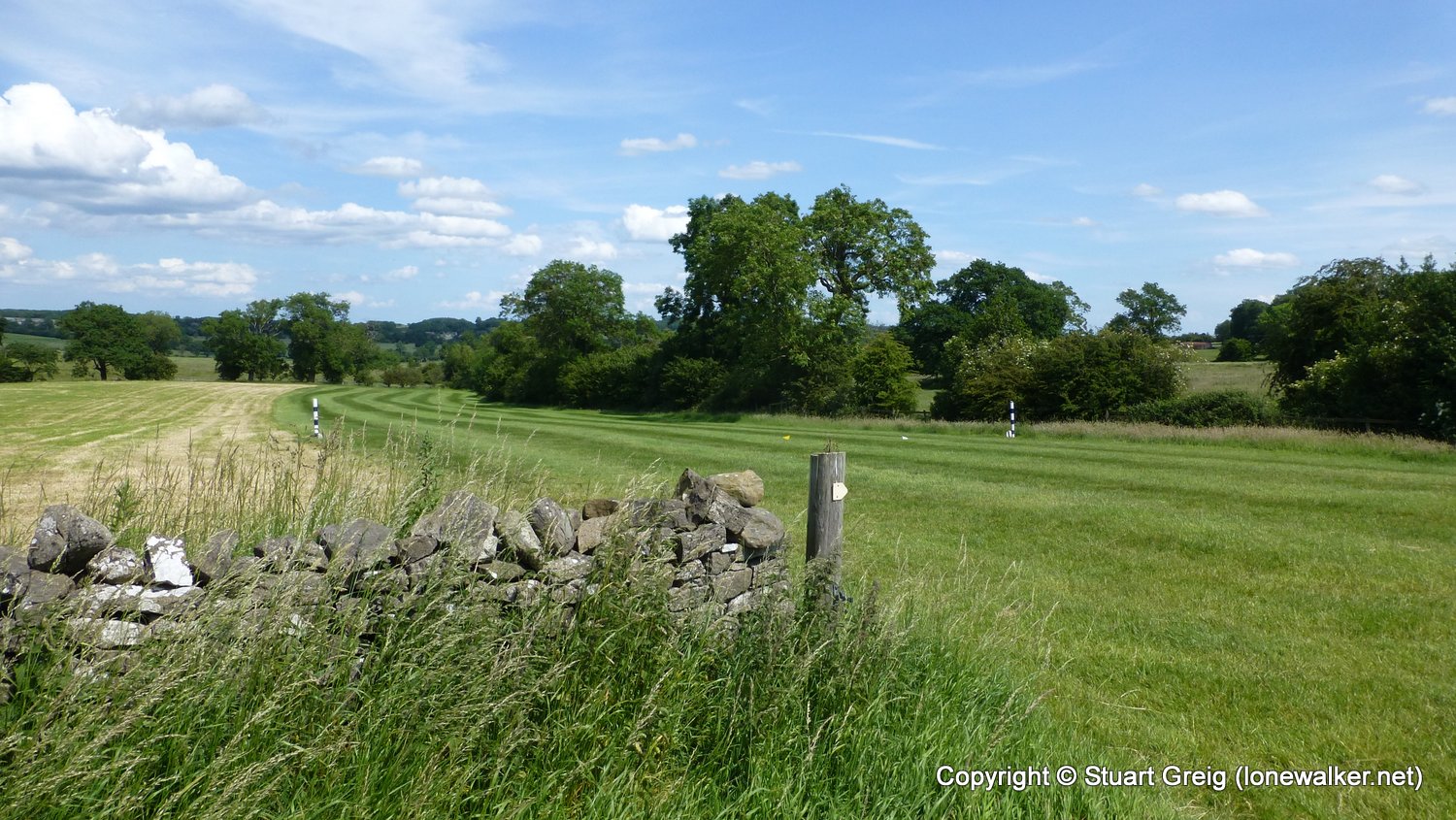
Route Description: Askrigg, Worton Bridge, Nappa Mill, Dismantled Railway, Turn Hole, Aysgarth, Aysgarth Falls, Hestholme Bridge, Slapestone Wath, Middle Wood, Batt Island, Lords Bridge, Wensley Bridge, The Wisings, The Parks, Middleham
Parking Grid Ref:
View Parking space in: OS Map or Google Street View
Walking with:
Long Distance Path: Yoredale Way
Click any image to open the full screen photo gallery


Walk Name: Garsdale to Askrigg
Date: 2017-06-18
Distance: 12.6 mls, 20.28 km
Height Gain: 1000 ft, 304.8 m
Walk Name: Middleham to Masham
Date: 2017-06-20
Distance: 11.9 mls, 19.15 km
Height Gain: 700 ft, 213.4 m