
Date: 2018-11-24
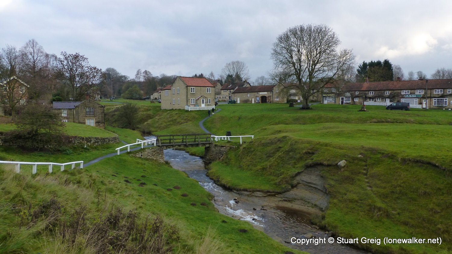
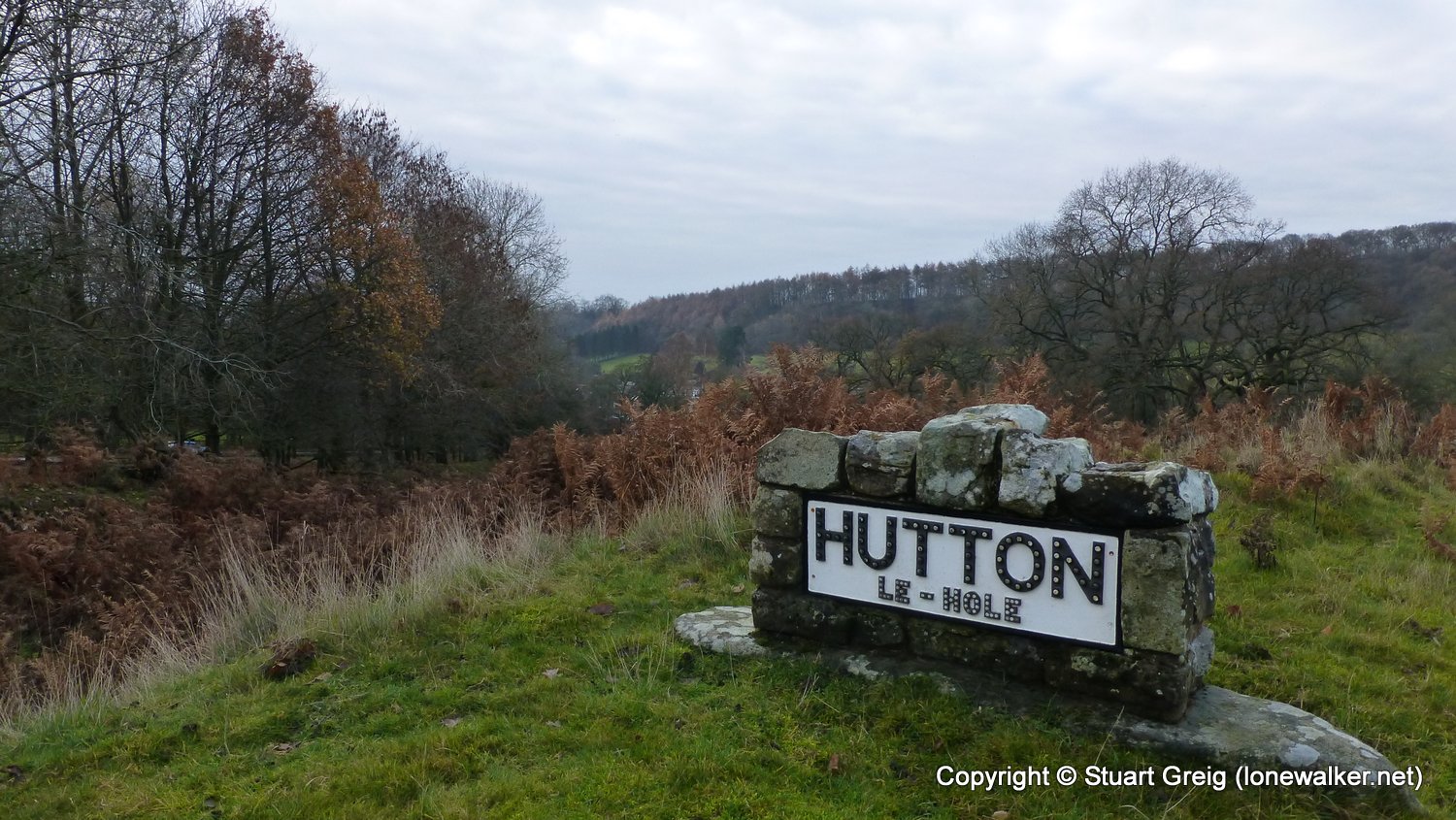
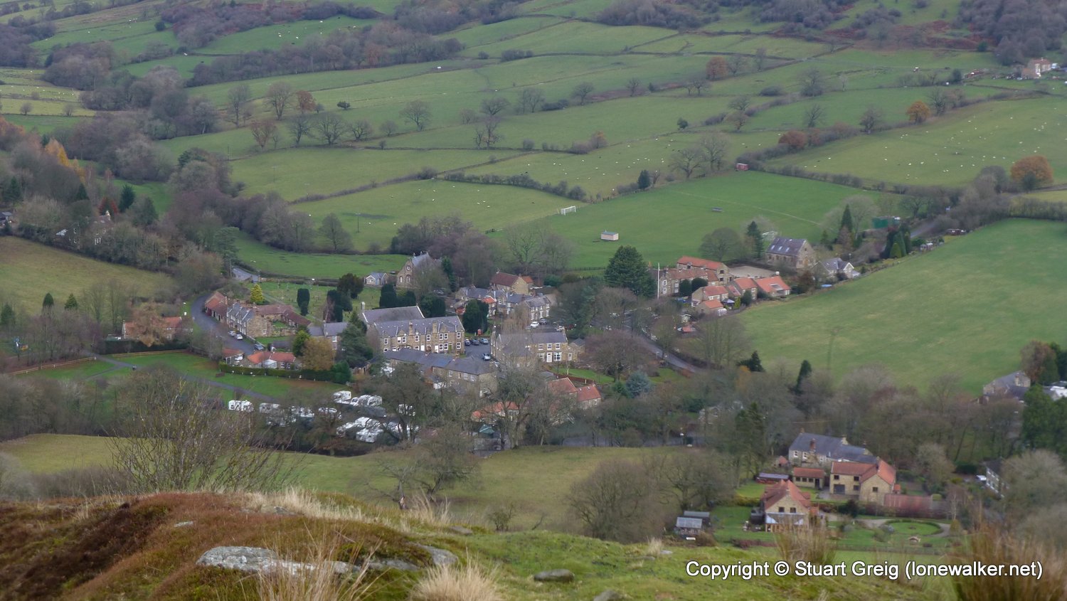
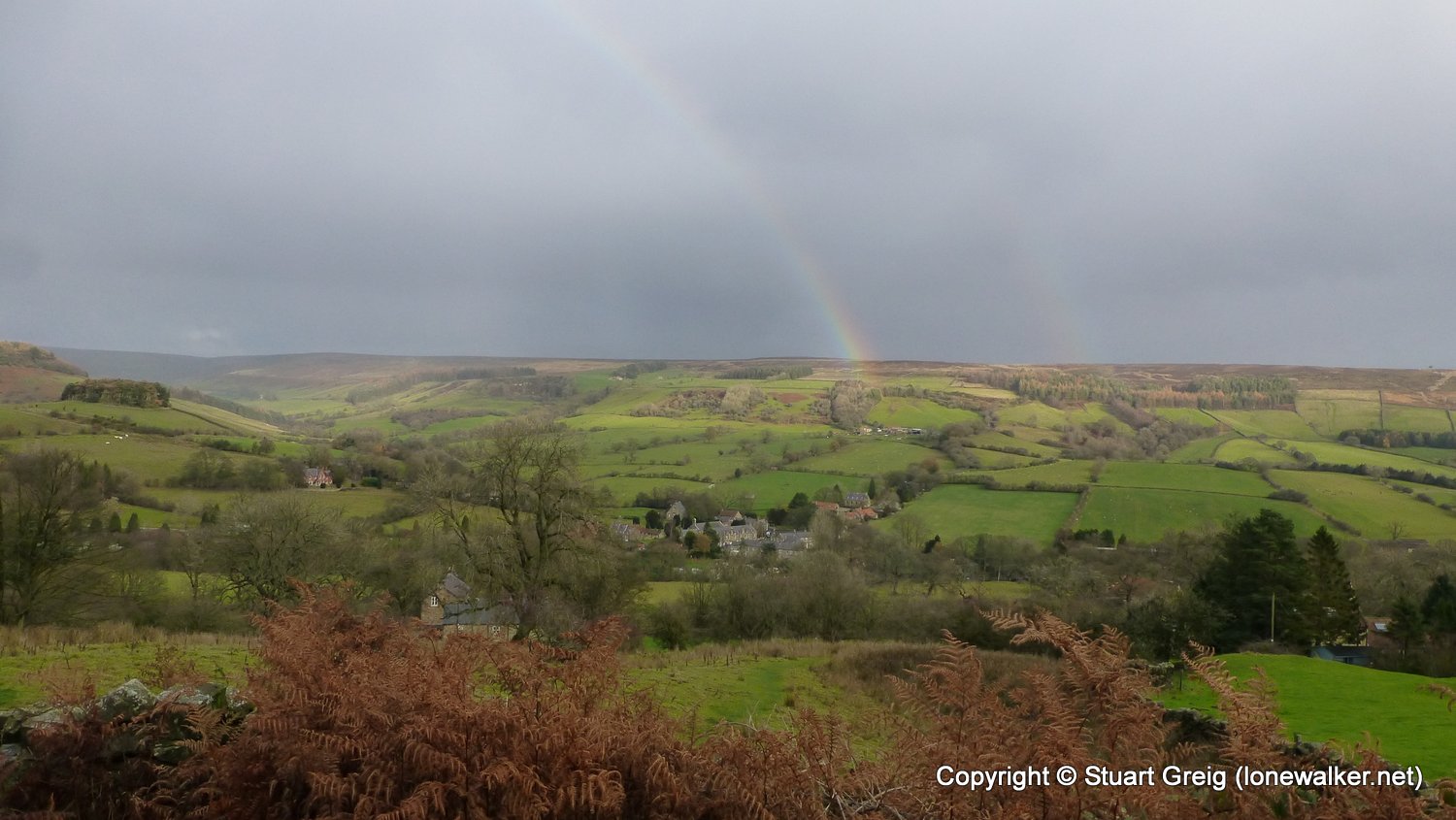
Start: Hutton-le-Hole Finish: Rosedale Abbey
Distance: 5.8 mls, 9.33 km
Height Gain: 900 ft, 274.3 m
Start Time: 10:05 End Time: 12:15
Duration: 02:10
Ave Speed: 2.6 mph
Region: North Yorks Moors
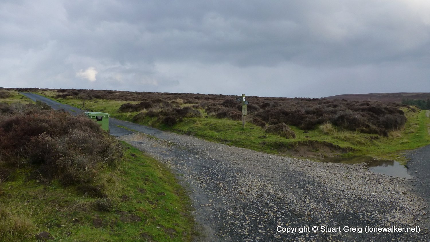
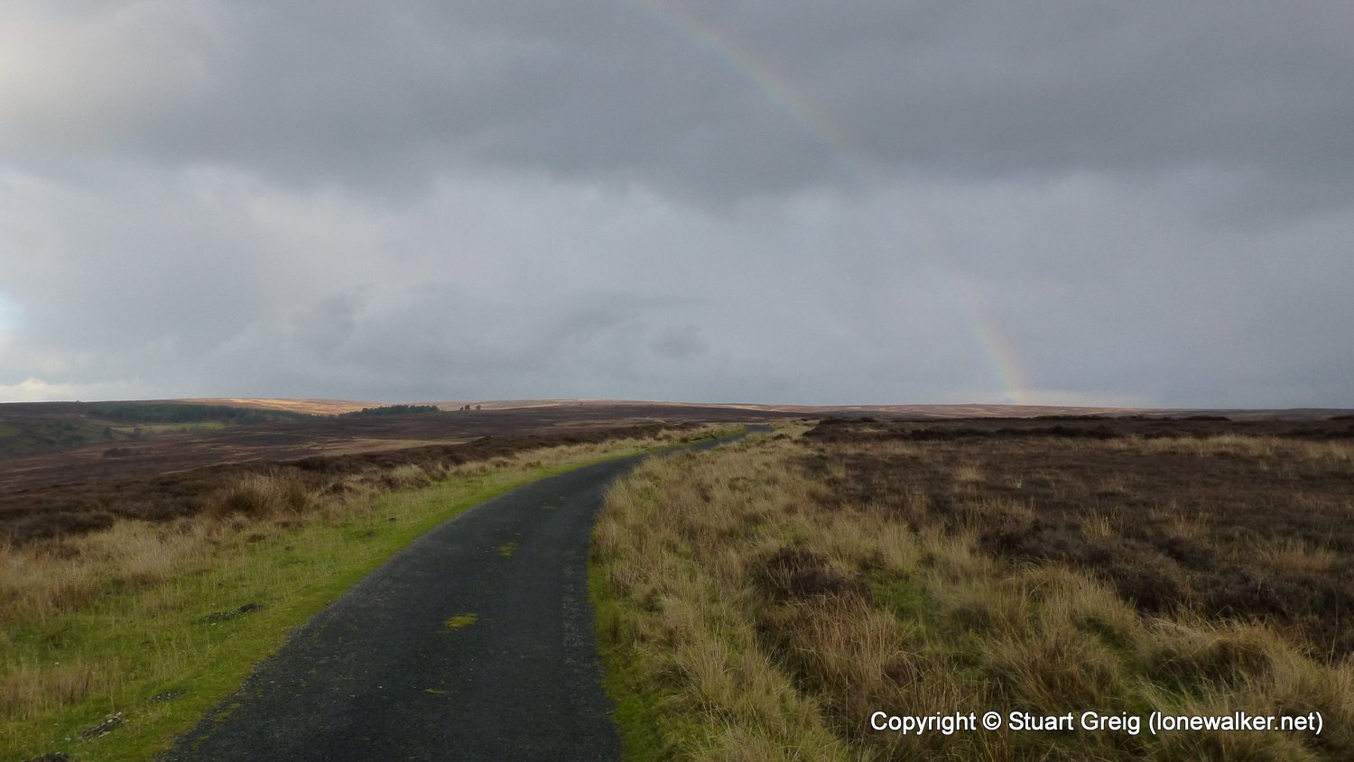
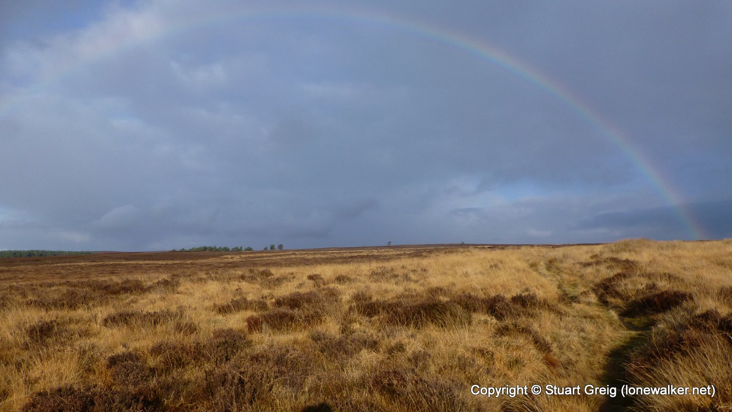
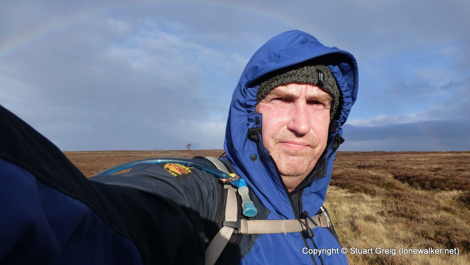
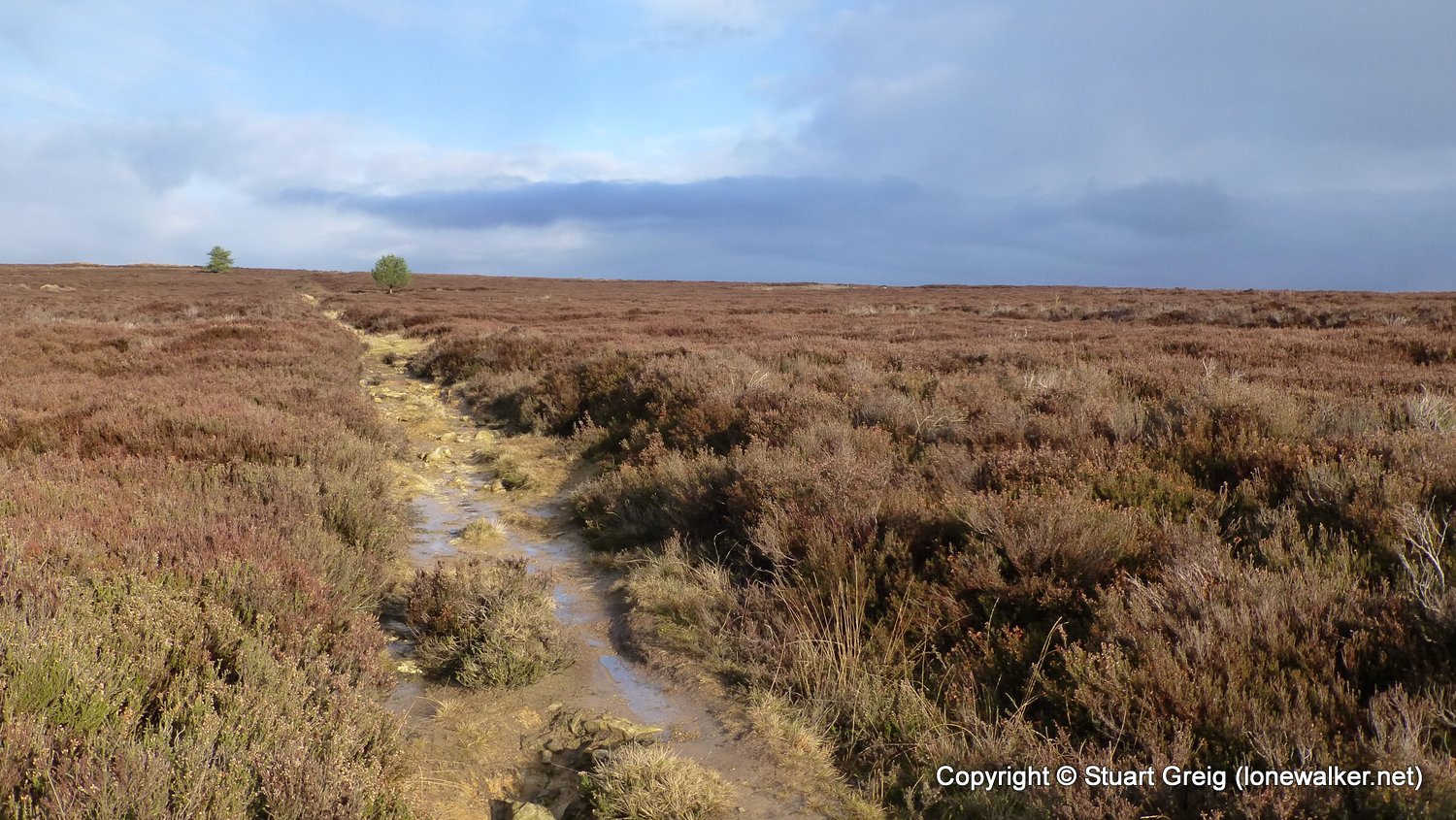
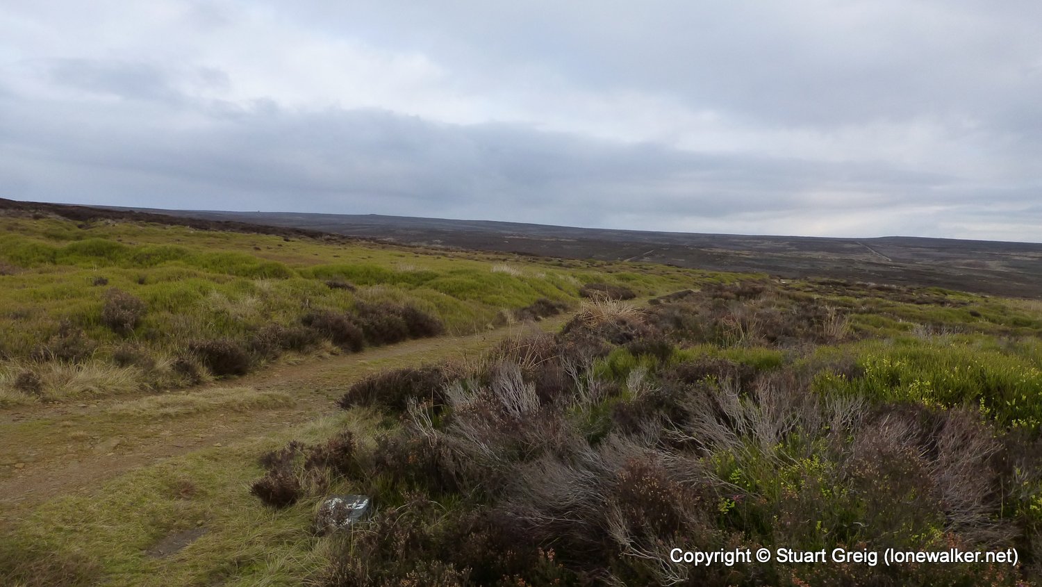
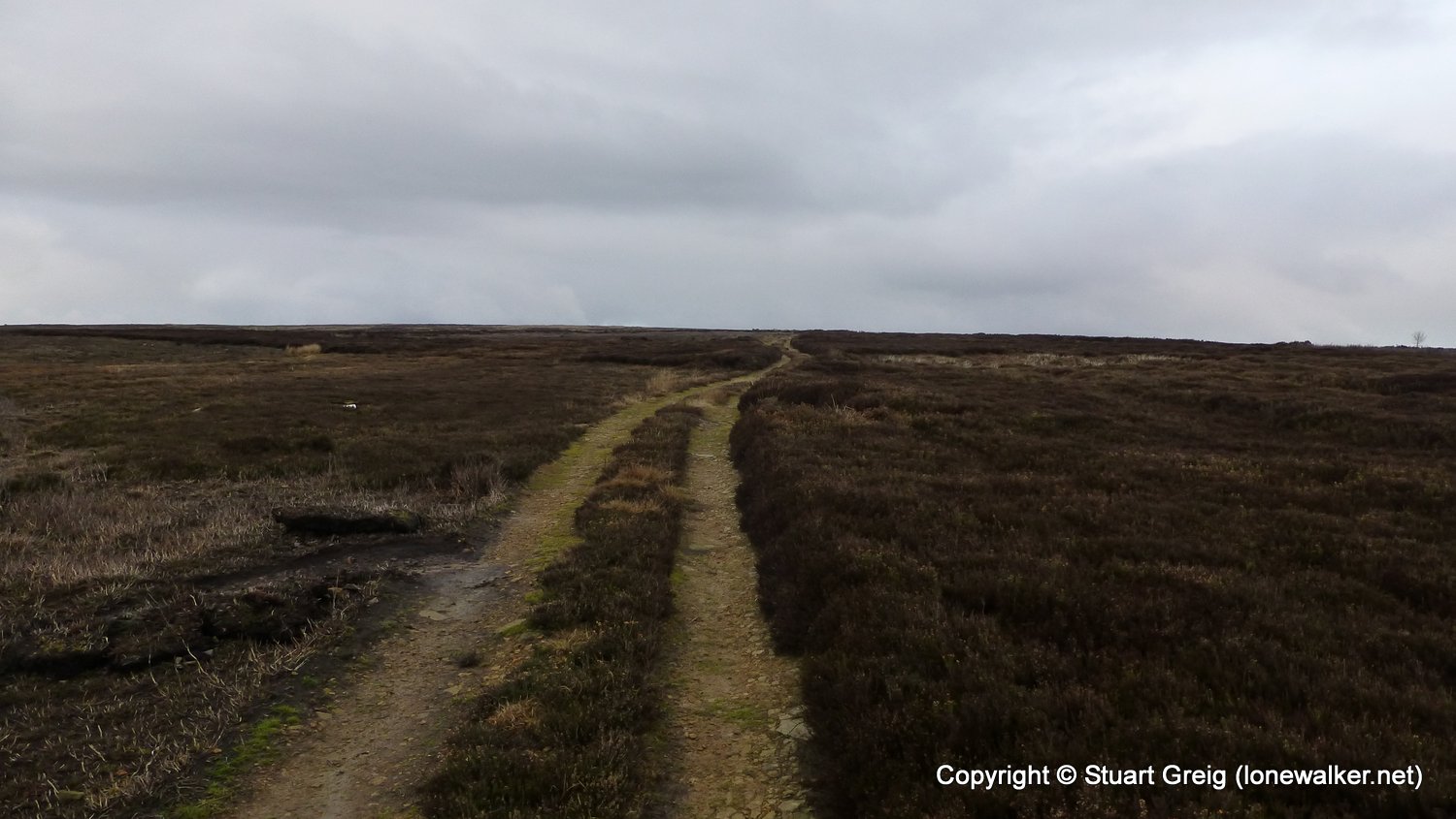
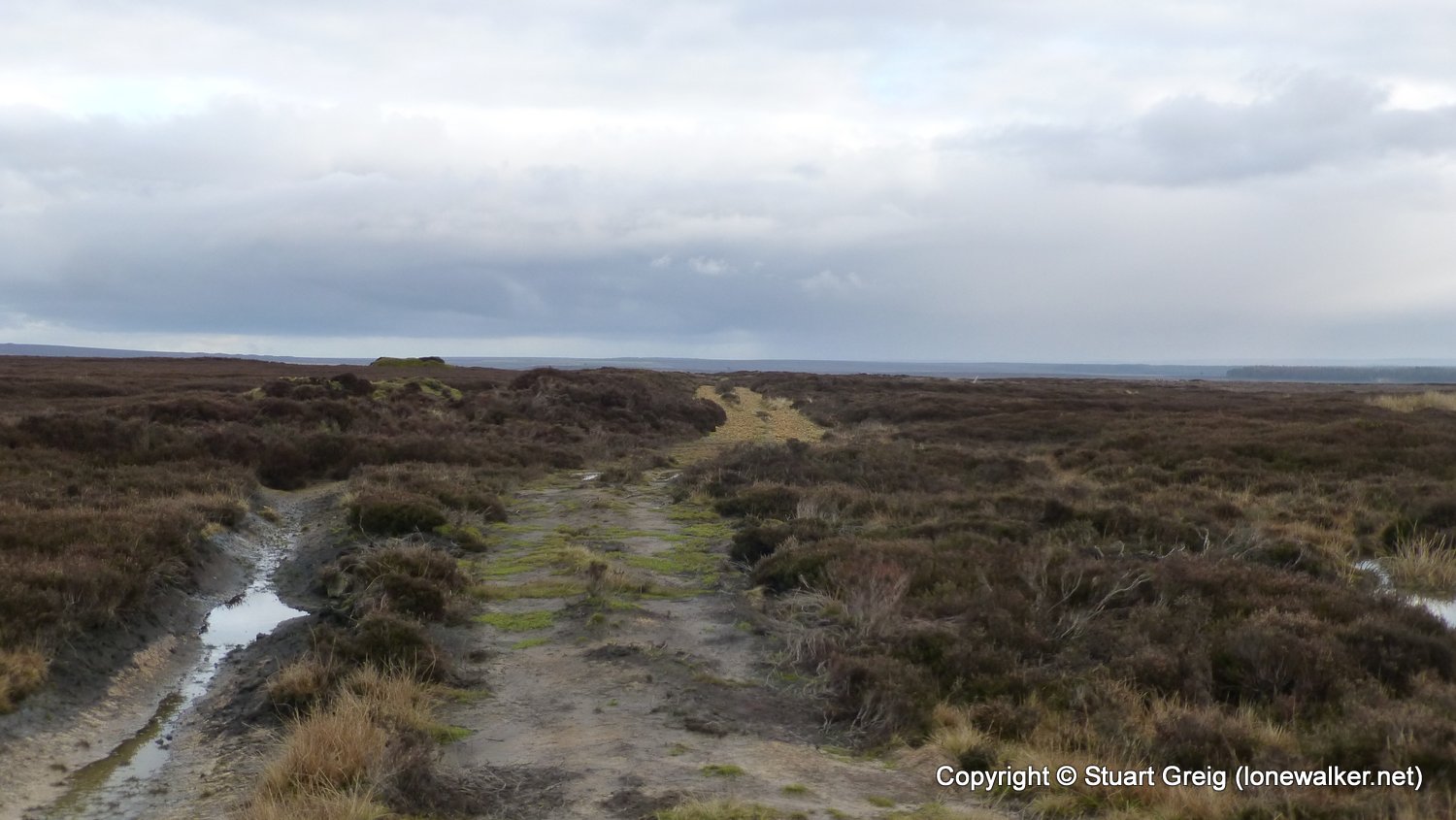
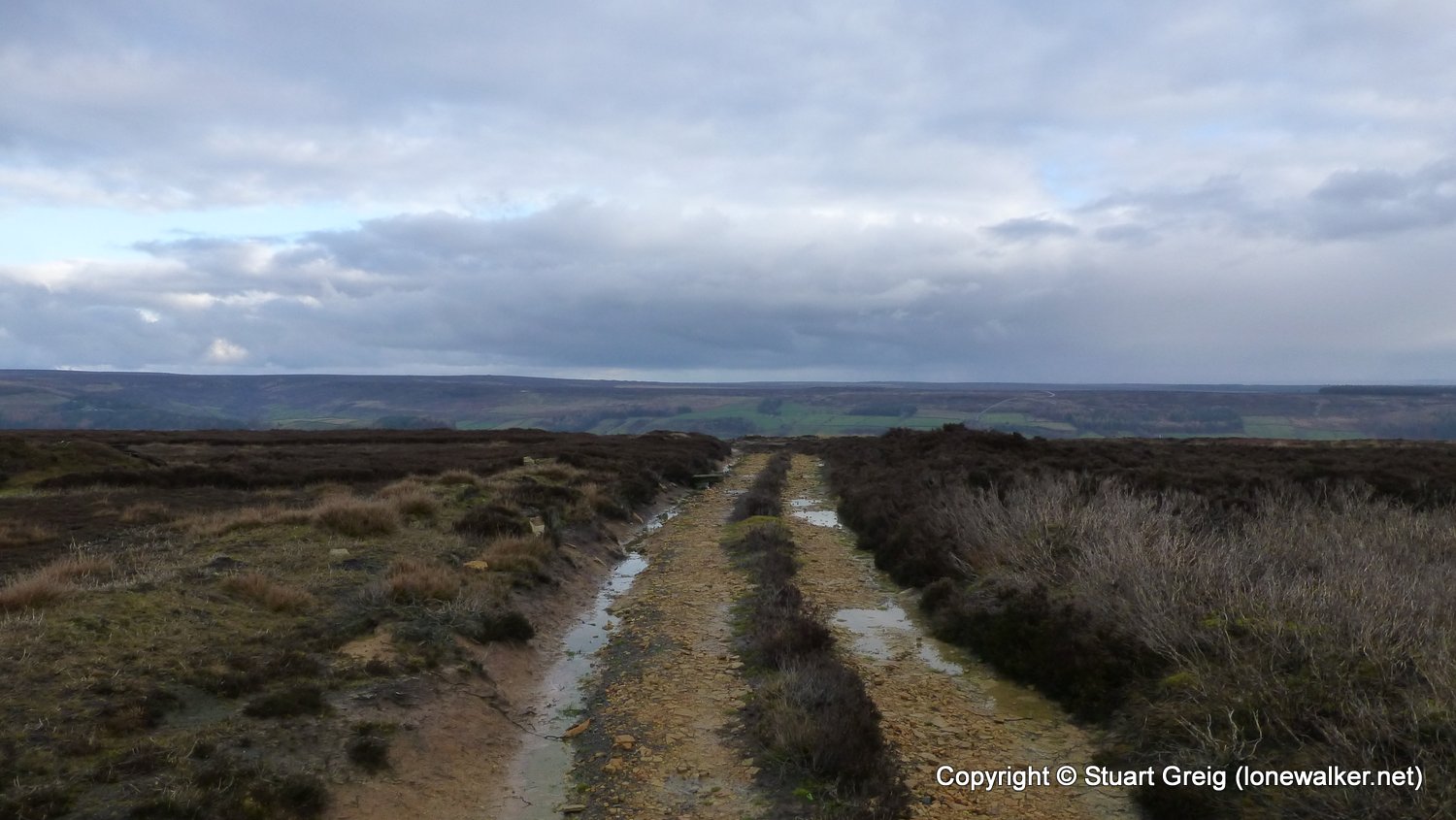
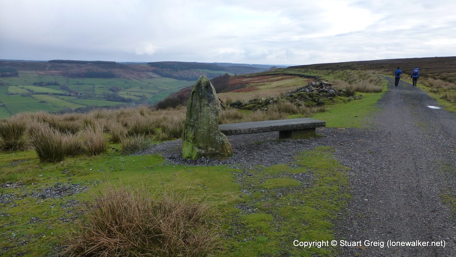
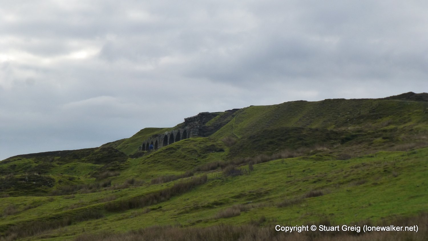
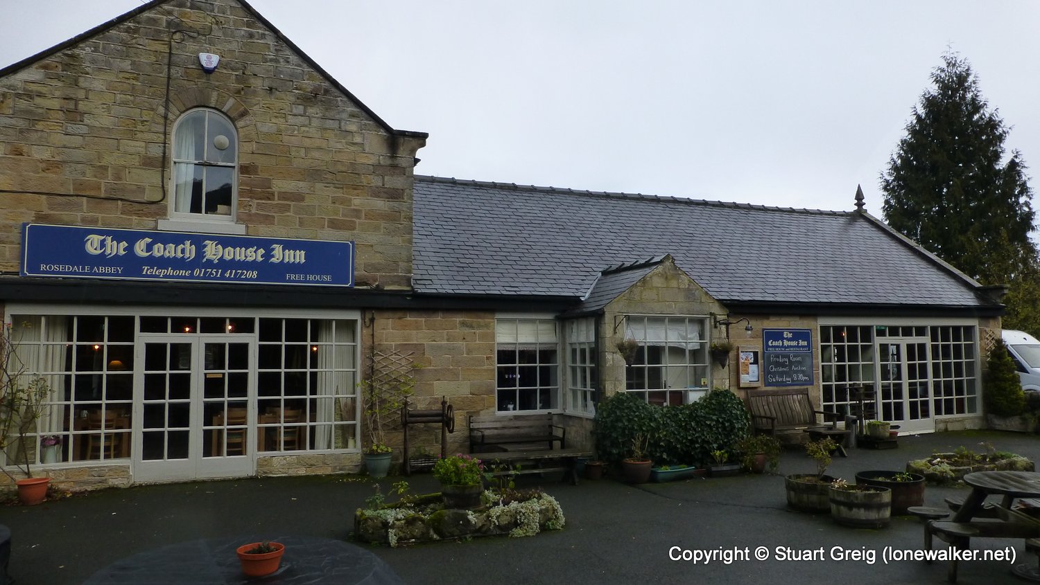
Route Description: Hutton-le-Hole, Lodge Road, Hutton Ridge, Shooting House Hill, Bank Top, Rosedale Abbey
Parking Grid Ref: SE 70461 89929
View Parking space in: OS Map or Google Street View
Walking with:
Long Distance Path:
TP6093 - Spaunton (Good condition)
Click any image to open the full screen photo gallery


Walk Name: Patterdale to Grasmere
Date: 2018-08-03
Distance: 8.6 mls, 13.84 km
Height Gain: 1900 ft, 579.1 m
Walk Name: Riccal Heads Trig Point
Date: 2018-11-26
Distance: 1.5 mls, 2.41 km
Height Gain: 400 ft, 121.9 m