
Date: 2018-11-28
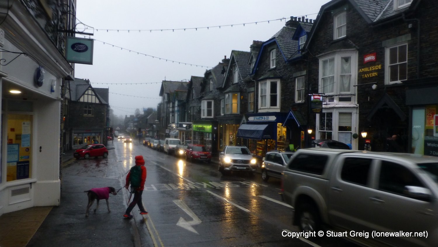
Start: Grasmere Finish: Ambleside
Distance: 8.6 mls, 13.84 km
Height Gain: 1600 ft, 487.7 m
Start Time: 10:45 End Time: 14:20
Duration: 03:35
Ave Speed: 2.4 mph
Region: Lake District
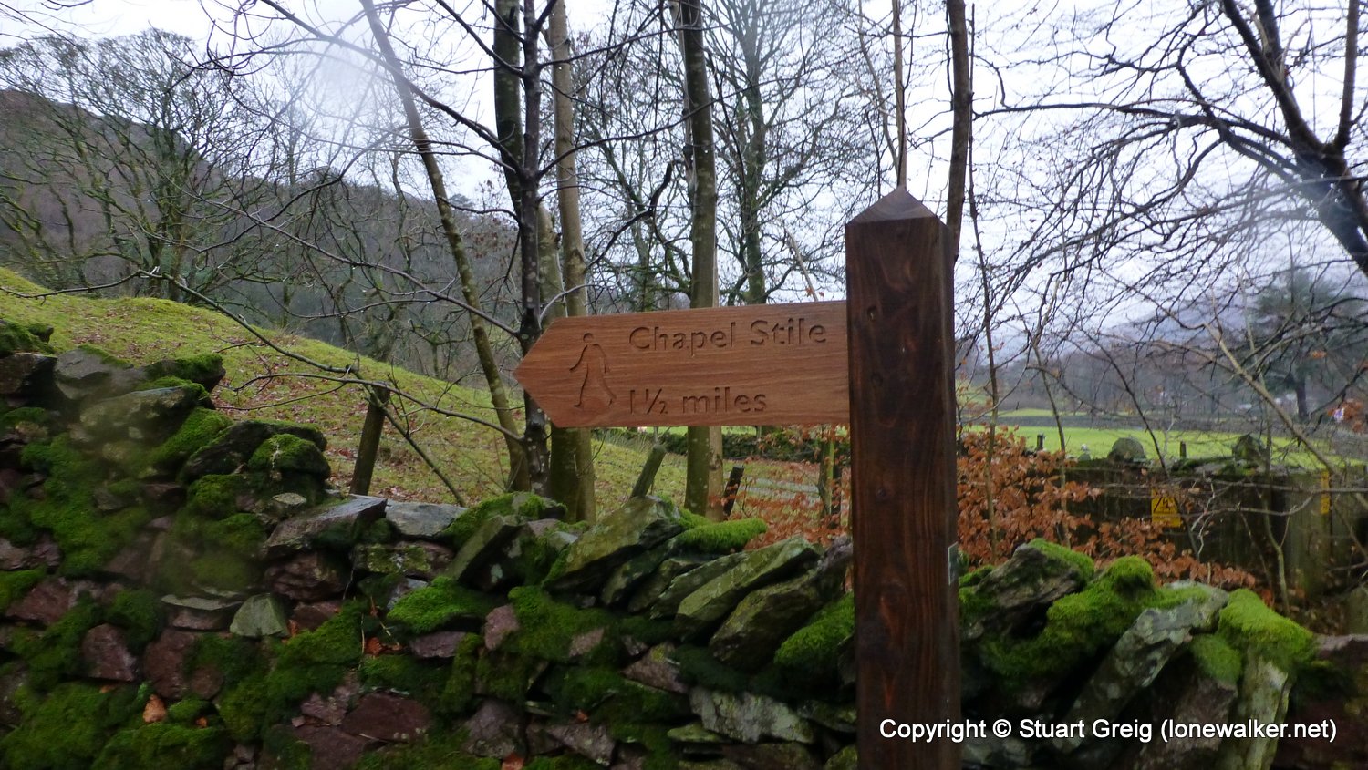
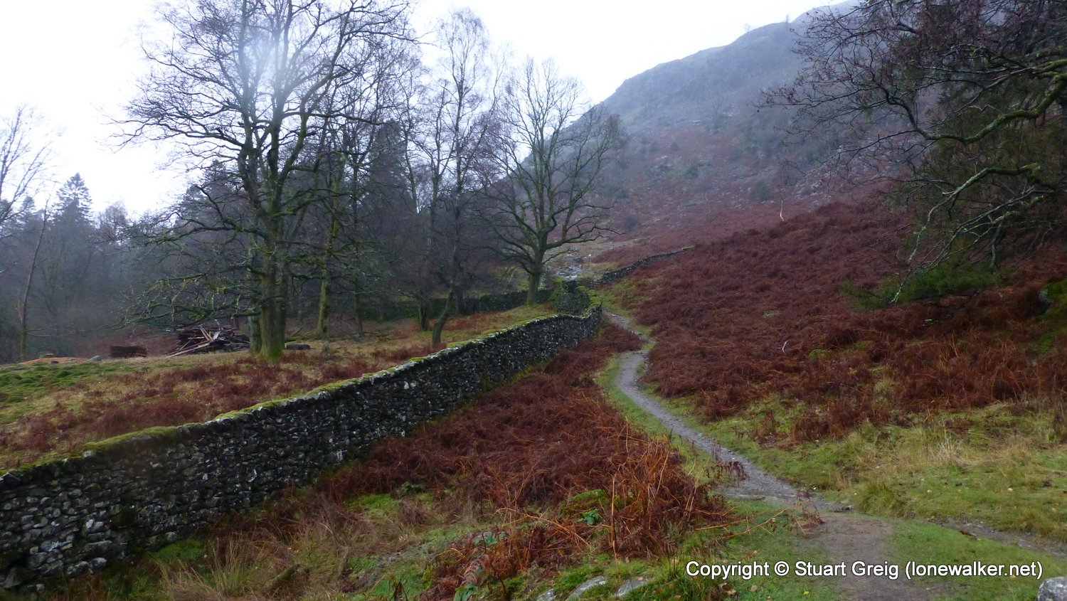
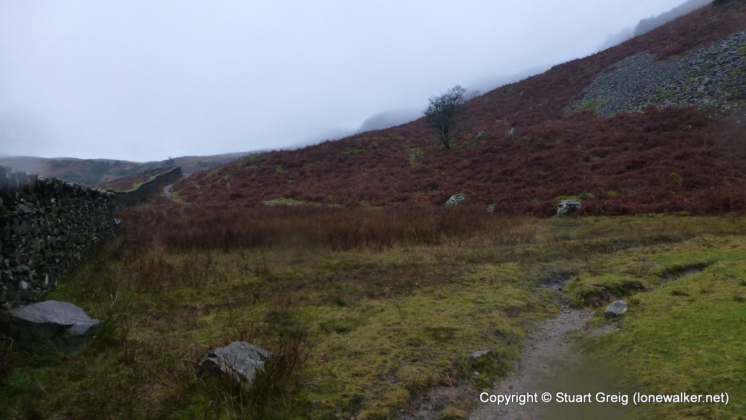
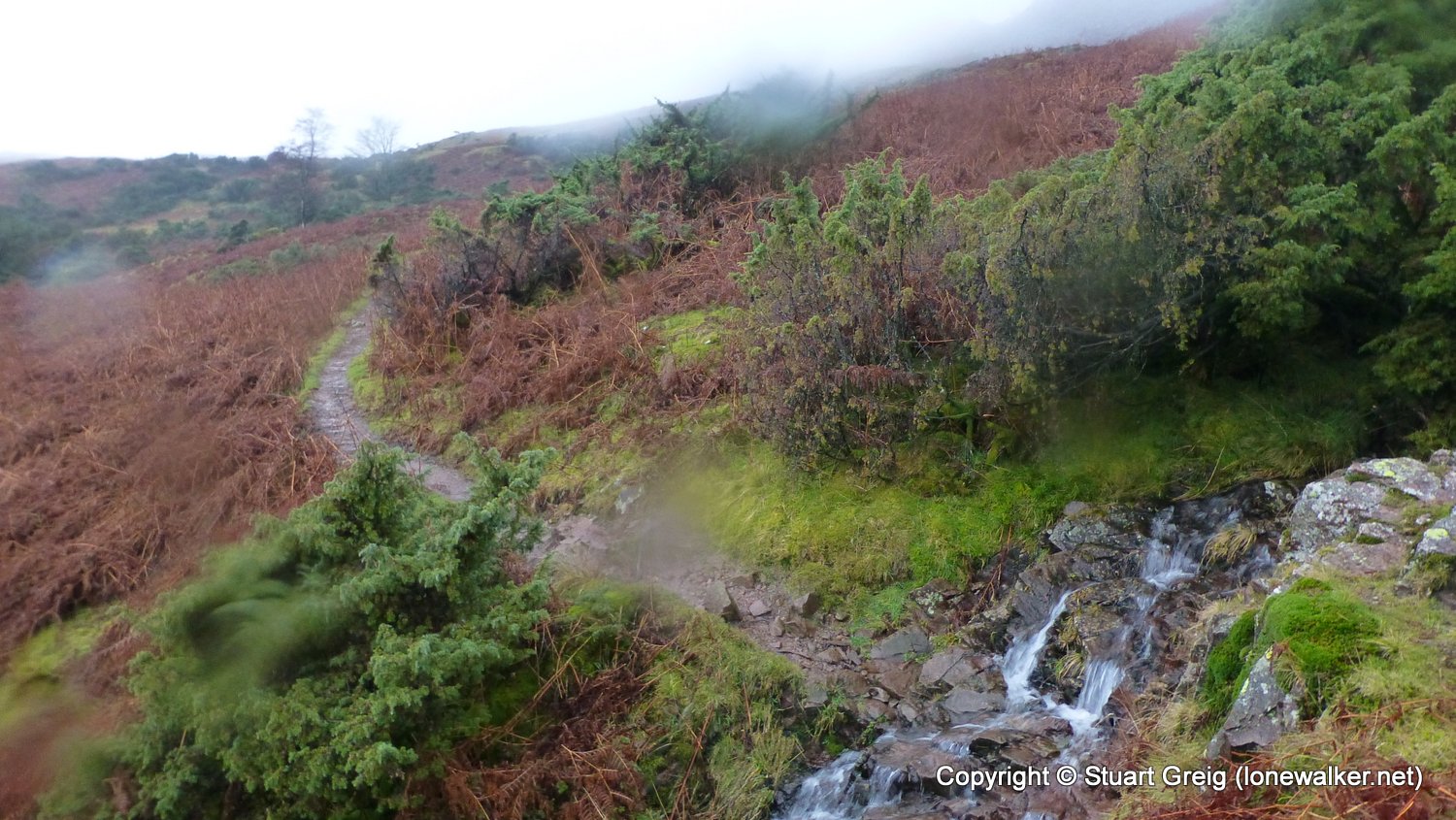
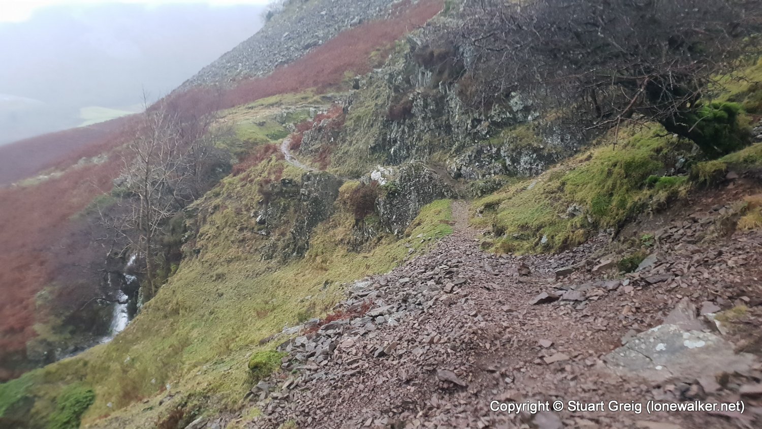
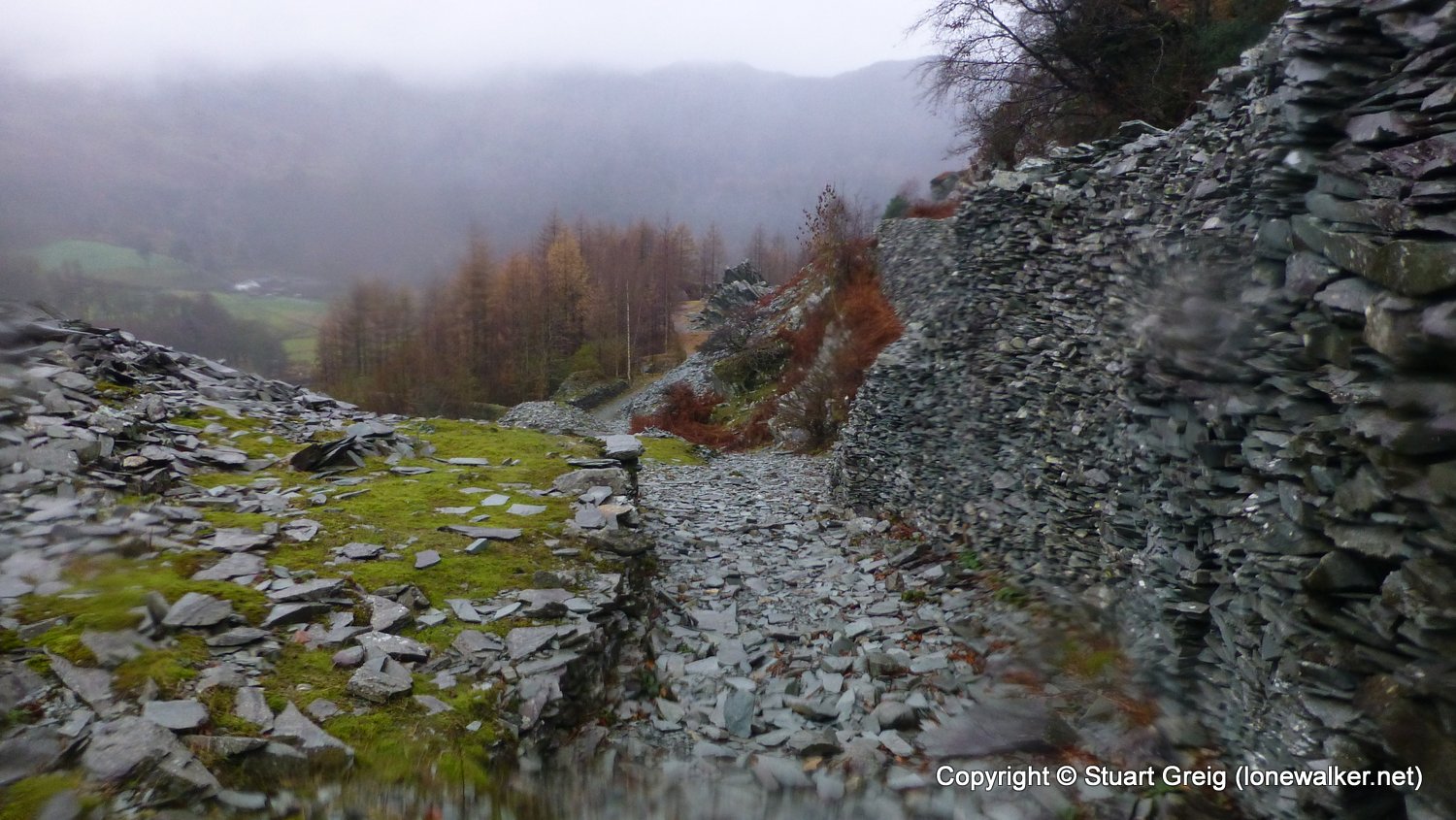
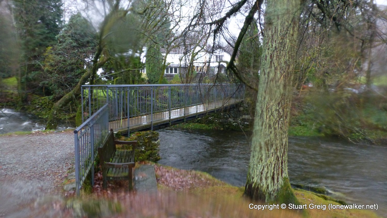
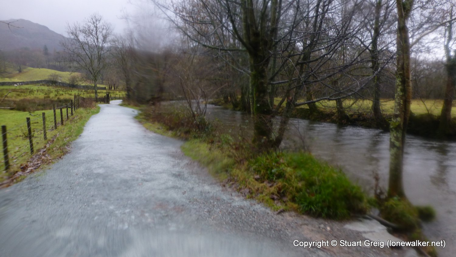
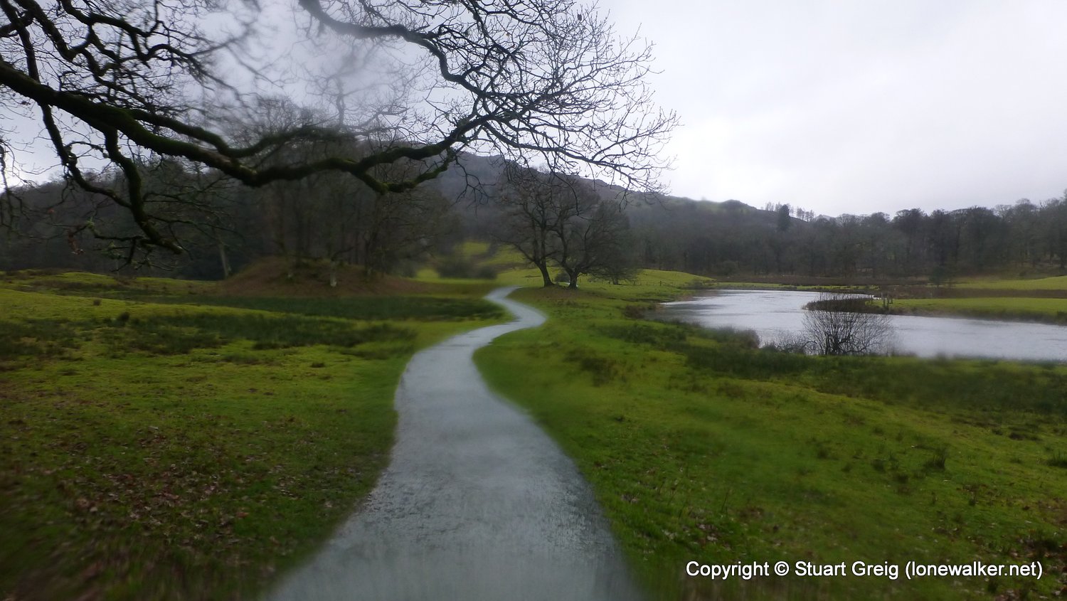
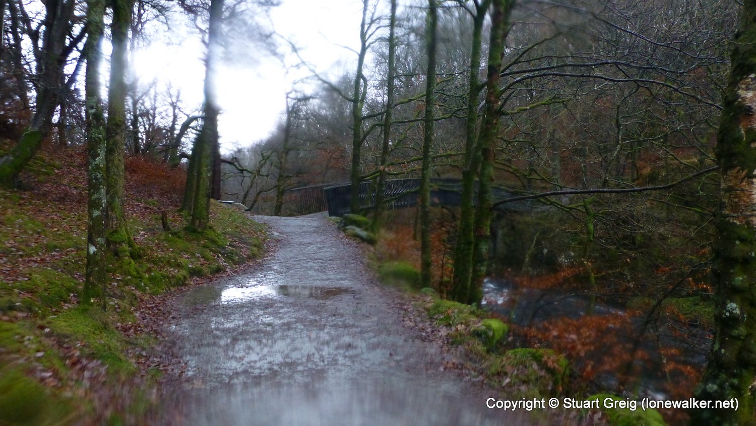
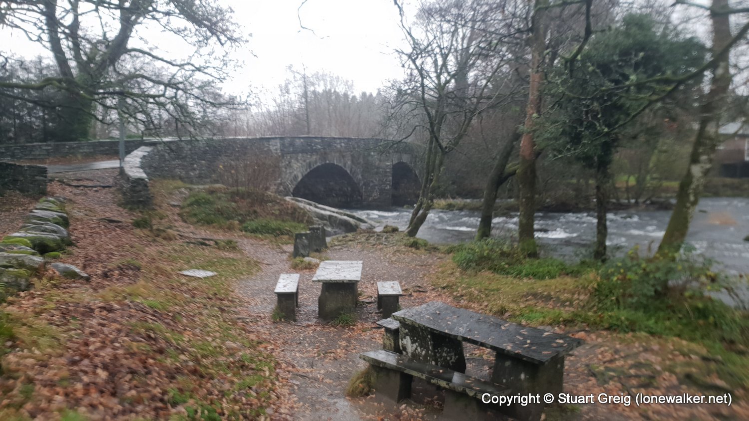
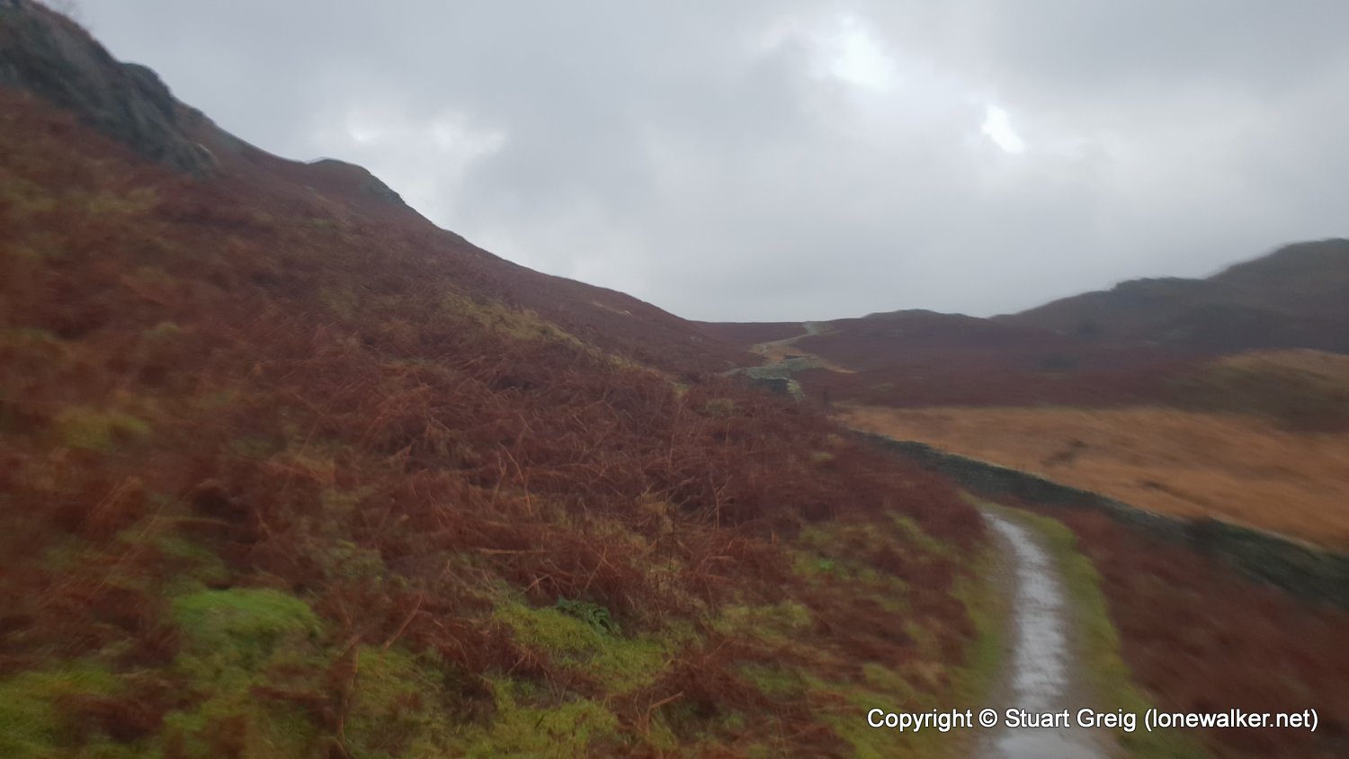
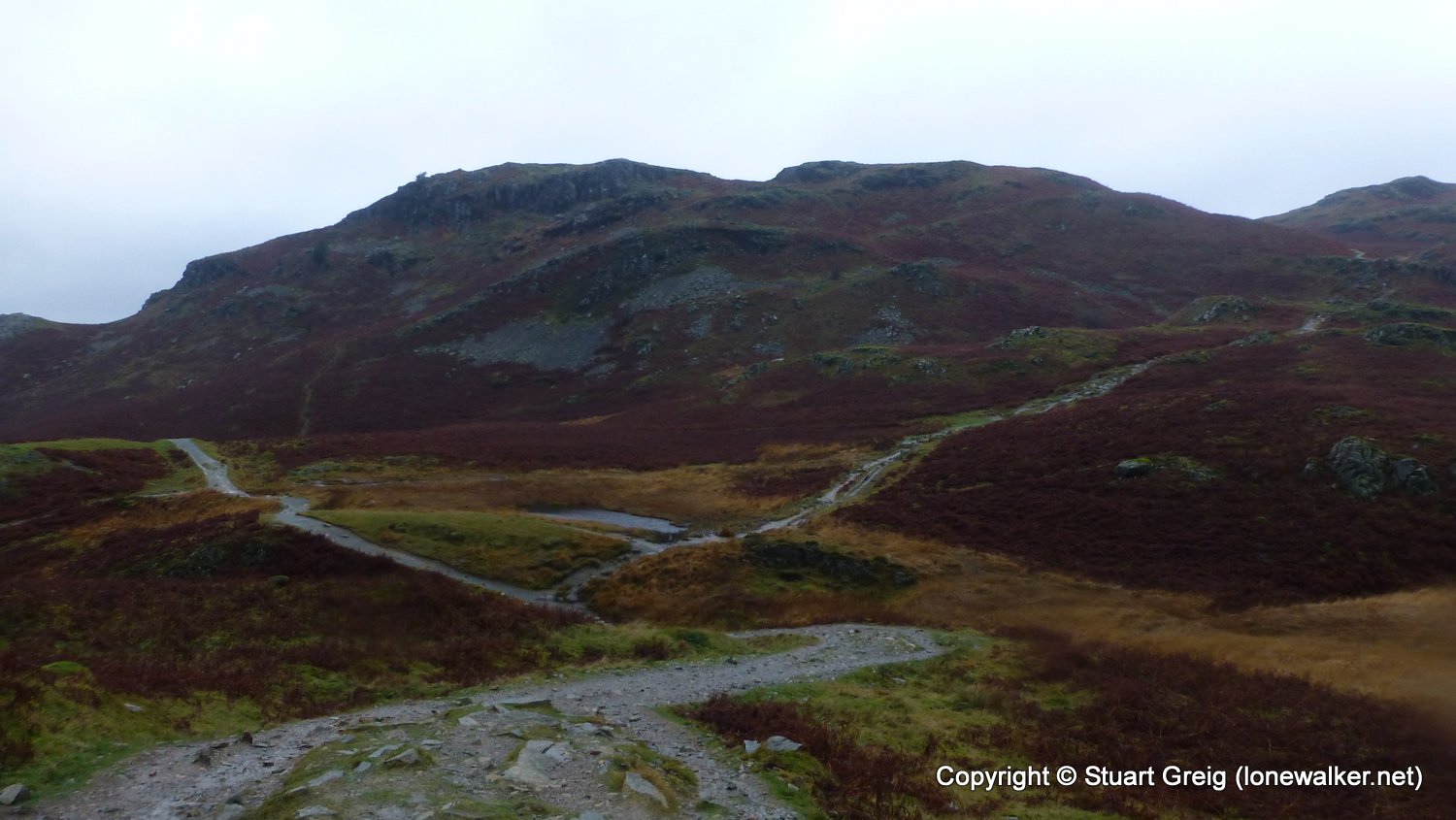
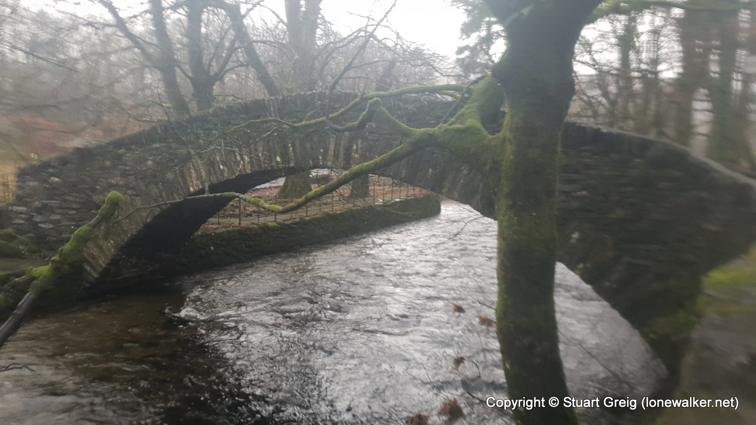
Route Description: Grasmere, Kelbarrow, path below Silver How, Chapel Stile, Elterwater, Skelwith Bridge, Tarn Foot, Brow Head Farm, Ambleside
Parking Grid Ref:
View Parking space in: OS Map or Google Street View
Walking with:
Long Distance Path: Westmorland Way
Click any image to open the full screen photo gallery

Walk Name: Riccal Heads Trig Point
Date: 2018-11-26
Distance: 1.5 mls, 2.41 km
Height Gain: 400 ft, 121.9 m
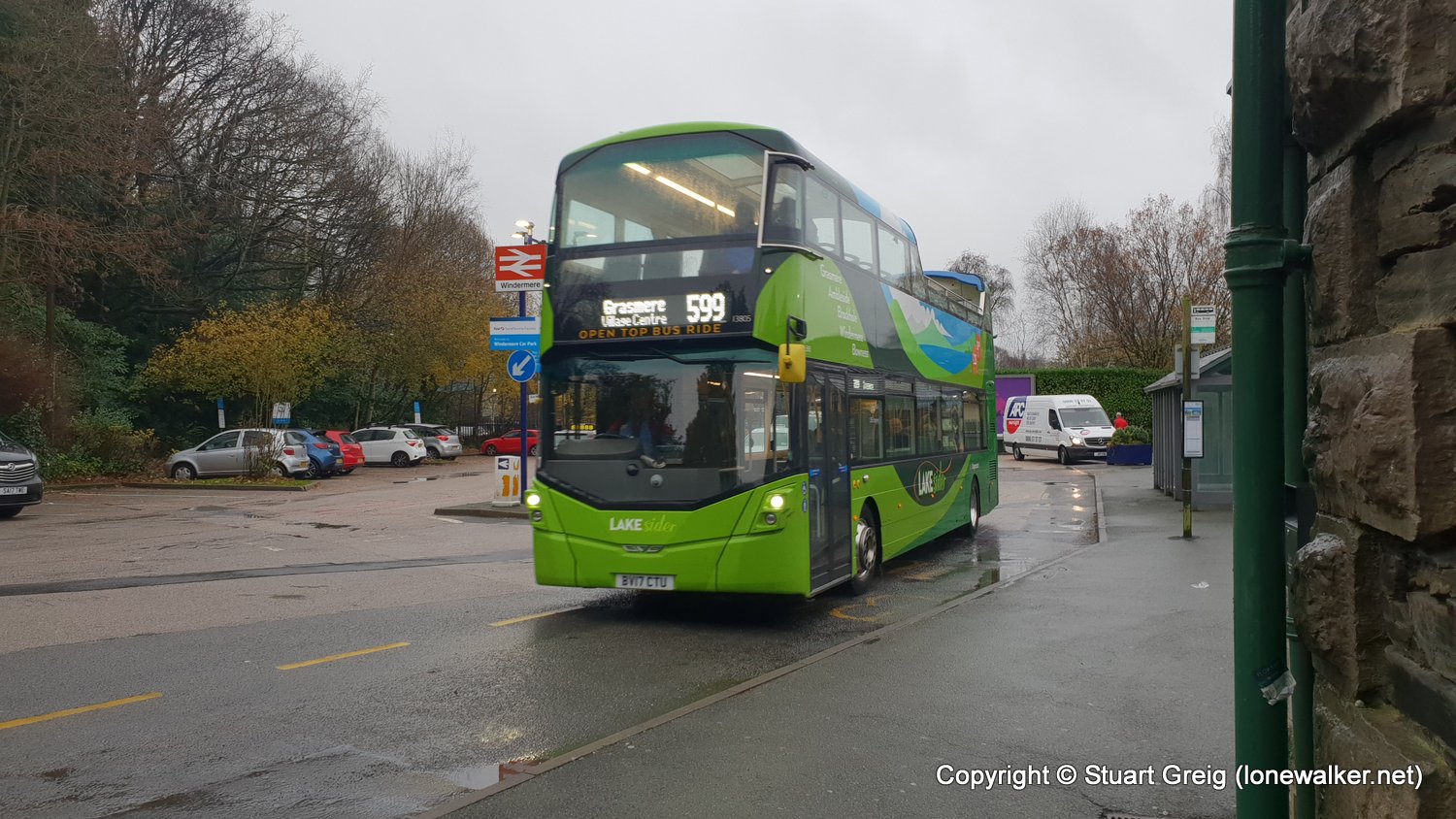
Walk Name: Ambleside to Windermere
Date: 2018-11-29
Distance: 8.0 mls, 12.87 km
Height Gain: 1700 ft, 518.2 m