
Tracing the new low-level route between Keld and Reeth for the new version of the Herriot Way book. Good to be back out with Chris after our abortive attempts along the CWT in May.
Date: 2019-06-08
Start: Muker Finish: Reeth
Distance: 10.2 mls, 16.42 km
Height Gain: 1000 ft, 304.8 m
Start Time: 08:30 End Time: 12:45
Duration: 04:15
Ave Speed: 2.4 mph
Region: Yorkshire Dales
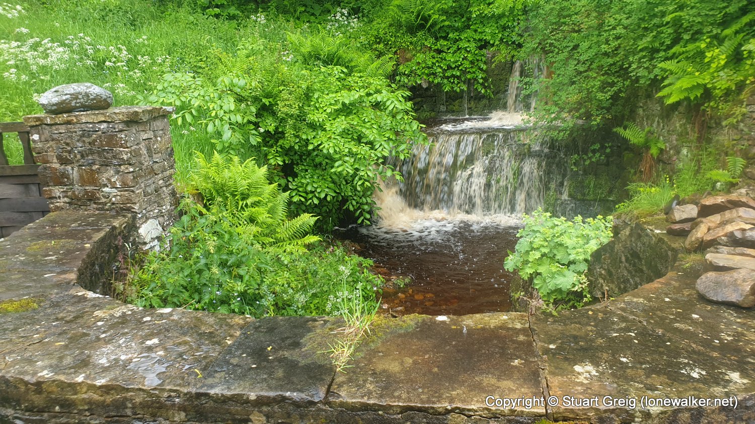
Route Description: Muker, Ramps Holme Bridge, Ivelet Bridge, Gunnerside, Great Rowleth Wood, Isles Bridge, Low Lane, Browna Gill, River Swale, Reeth
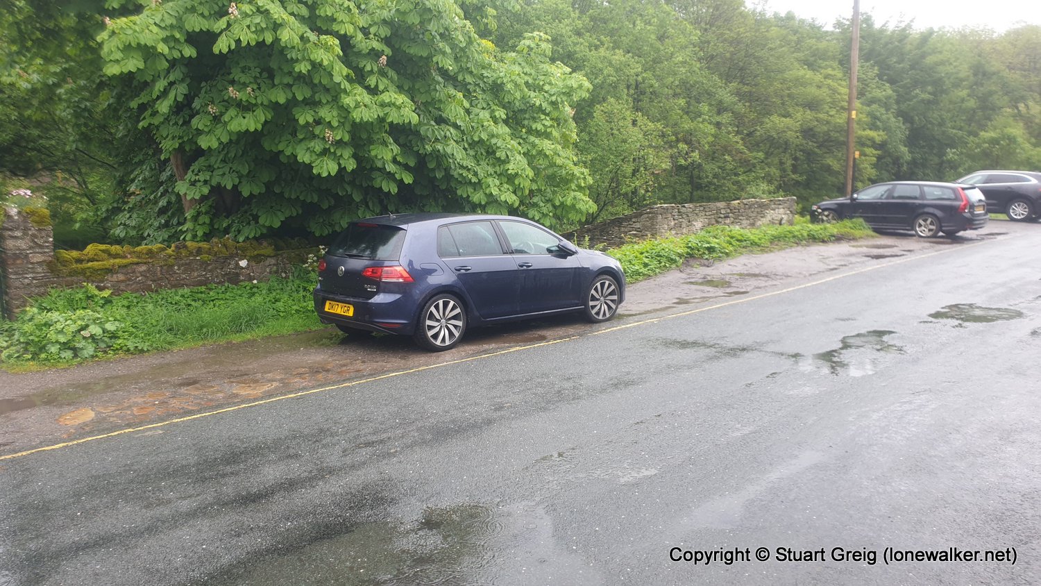
Parking Grid Ref: SD 90940 97880
View Parking space in: OS Map or Google Street View
Walking with: Chris Pilgrim
Long Distance Path: Herriot Way
Click any image to open the full screen photo gallery


Walk Name: Corryhully Bothy to Bealach a-Chaorainn
Date: 2019-05-26
Distance: 4.8 mls, 7.72 km
Height Gain: 2100 ft, 640.1 m
Walk Name: Gibbon Hill from Grinton Lodge
Date: 2019-06-22
Distance: 9.0 mls, 14.48 km
Height Gain: 1300 ft, 396.2 m