
Date: 2020-07-11
Start: Bowden Bridge Finish: Bowden Bridge
Distance: 8.9 mls, 14.32 km
Height Gain: 1900 ft, 579.1 m
Start Time: 07:00 End Time: 11:15
Duration: 04:15
Ave Speed: 2.1 mph
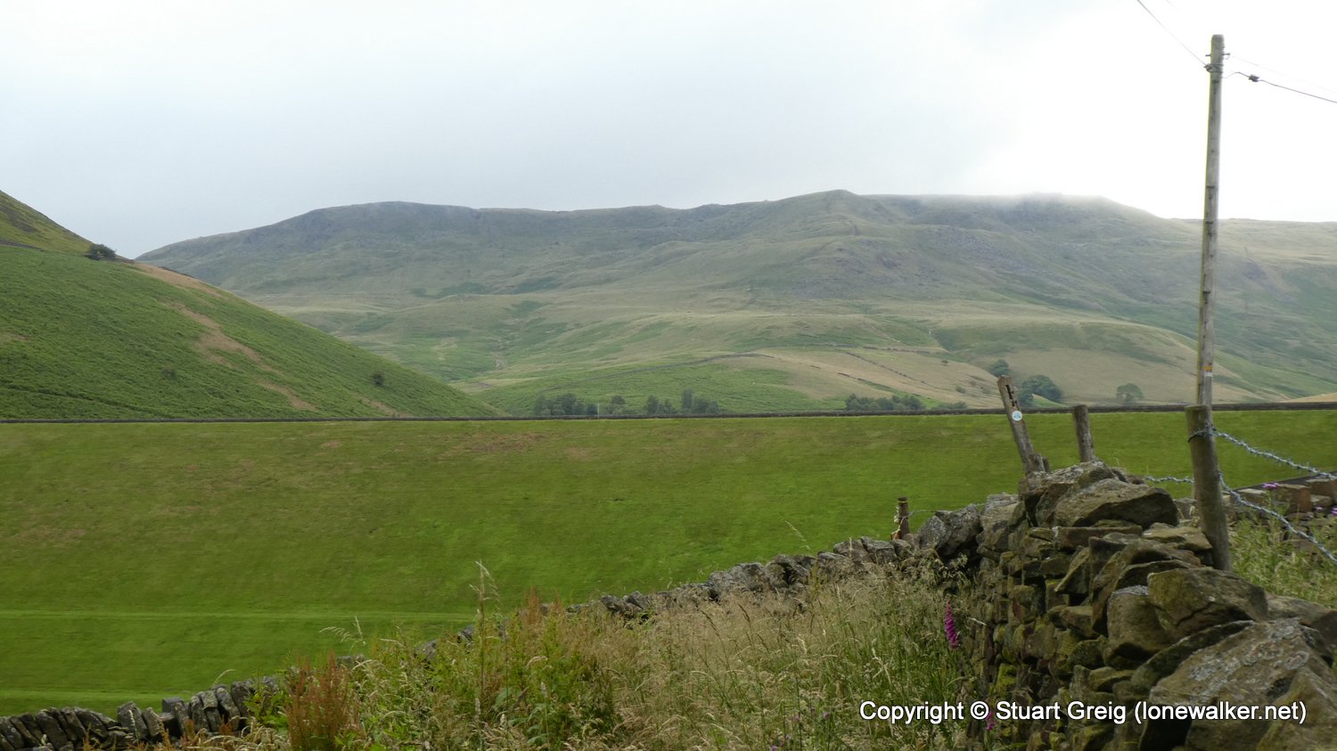
Region: Peak District
Route Description: Bowden Bridge, Kinder Road, Farlands, Cluther Rocks, Red Brook, Kinder Low, Edale Rocks, Brown Knoll, South Head, Higher Heys Farm, Stone House, Bowden Bridge
Parking Grid Ref: SK 04863 86930
View Parking space in: OS Map or Google Street View
Walking with:
Long Distance Path: Pennine Way
3628 - Brown Knoll (1867 ft)
TP4216 - Kinder Low (Good condition)
Click any image to open the full screen photo gallery


Walk Name: Shining Tor and Cheeks Hill
Date: 2020-06-20
Distance: 10.3 mls, 16.58 km
Height Gain: 1700 ft, 518.2 m
Walk Name: Boroughbridge to Thirsk
Date: 2020-07-25
Distance: 16.0 mls, 25.75 km
Height Gain: 300 ft, 91.4 m