
Date: 2008-05-18
Start: Glasgow Finish: Milngavie
Distance: 10.5 mls, 16.90 km
Height Gain: 800 ft, 243.8 m
Start Time: 13:47 End Time: 17:18
Duration: 03:31
Ave Speed: 3.0 mph
Region: West Highlands
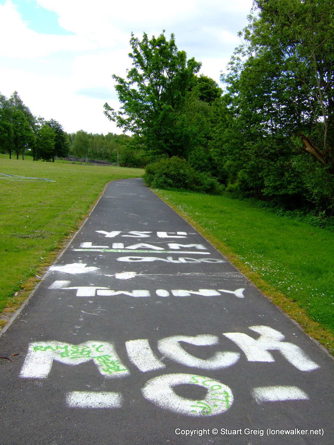
Route Description: Glasgow Central Station, Kelvingrove Park, Maryhill, River Kelvin, Milngavie
Parking Grid Ref:
View Parking space in: OS Map or Google Street View
Walking with: Alone
Long Distance Path: West Highland Way
Link to full Walk Report: https://lonewalker.net/whw-2008-day-0/
Download GPX file for this walk:
If your browser opens the file directly, right click and "Save As.."
TP4684 - Maryhill Park (Good condition)
TP7274 - Inverness (Good condition)
Click any image to open the full screen photo gallery


Walk Name: Loch an Eilein
Date: 2008-05-17
Distance: 1.5 mls, 2.41 km
Height Gain: 200 ft, 61.0 m
Walk Name: Milngavie to Drymen
Date: 2008-05-19
Distance: 13.0 mls, 20.92 km
Height Gain: 1000 ft, 304.8 m