
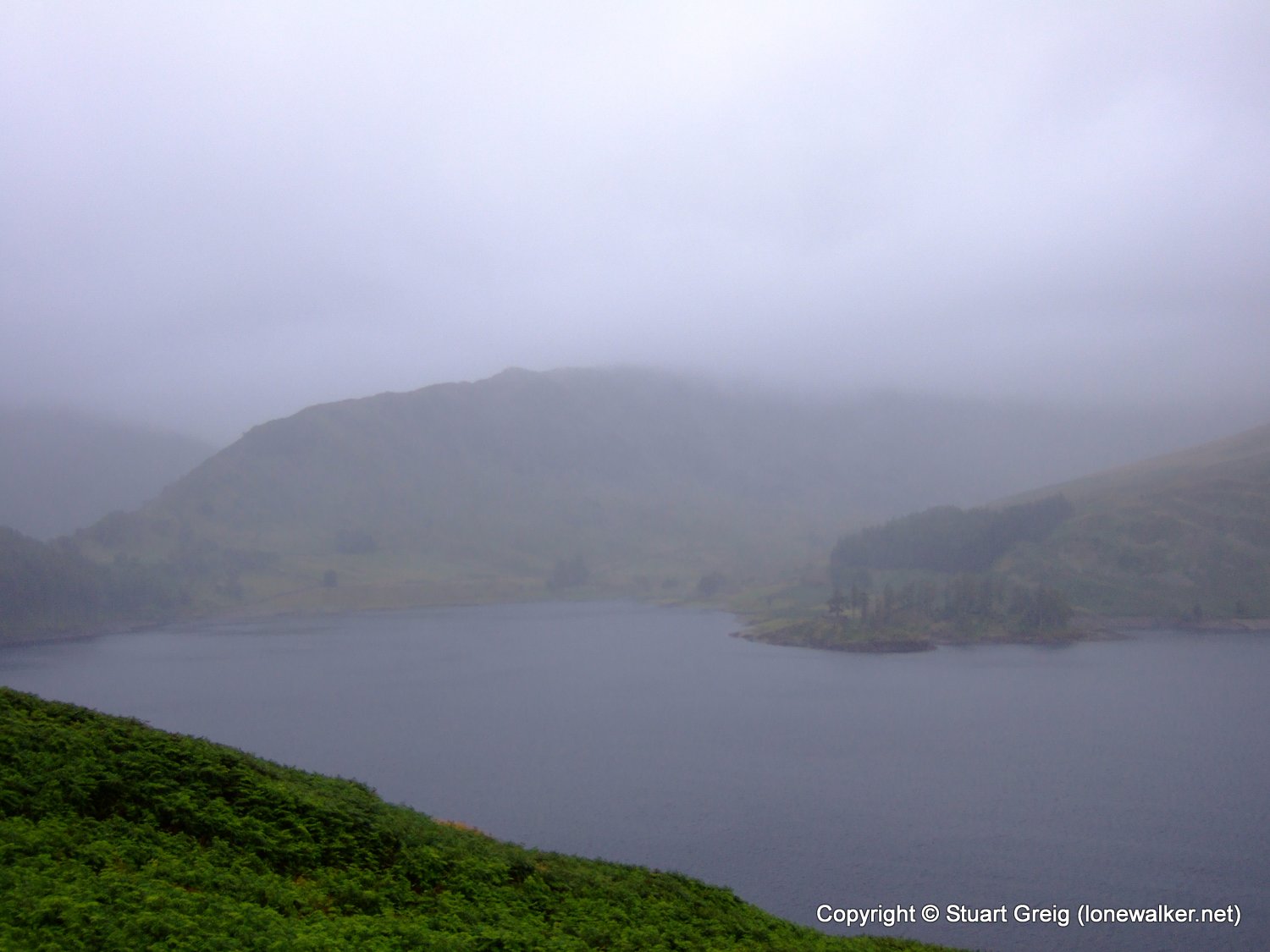
I was compelled to attempt a final training walk before setting out for Offa's Dyke, but after leaving the car park early in the pouring rain and getting totally soaked, even through my waterproofs, within 30 minutes; it was the breaking of my walking pole and the dangerously high winds on Rough Crag that finally forced me to abandon the walk.
Date: 2007-08-18
Start: Mardale Head Finish: Mardale Head
Distance: 3.5 mls, 5.63 km
Height Gain: 1200 ft, 365.8 m
Start Time: 07:07 End Time: 09:01
Duration: 01:54
Ave Speed: 1.8 mph
Region: Lake District
Route Description: Mardale Head, The Rigg, Rough Crag and return via same route
Parking Grid Ref: NY 46935 10750
View Parking space in: OS Map or Google Street View
Walking with: Alone
Long Distance Path:
Click any image to open the full screen photo gallery
Walk Name: Selside Pike & Branstree
Date: 2007-08-11
Distance: 6.0 mls, 9.66 km
Height Gain: 1800 ft, 548.6 m
Walk Name: Offa's Dyke Stone to Chepstow
Date: 2007-08-21
Distance: 4.0 mls, 6.44 km
Height Gain: 450 ft, 137.2 m