
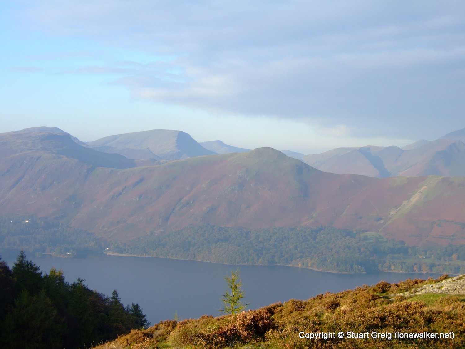
Had a boys weekend away with Rob, walking from Keswick to Stonethwaite, along the spine of the central fells, and then back to Stonethwaite via one of the prettiest valleys in the Lakes. Saturday was a combination of bright sunshine, low on the horizon and in the eyes all day and light mist, meaning that most of my pictures came out rubbish.
Date: 2007-10-20
Start: Keswick Finish: Stonethwaite
Distance: 15.5 mls, 24.94 km
Height Gain: 2400 ft, 731.5 m
Start Time: 08:14 End Time: 16:36
Duration: 08:22
Ave Speed: 1.8 mph
Region: Lake District
Route Description: Keswick, Walla Crag, Bleaberry Fell, High Seat, The Pewits, High Tove, Long Moss, Standing Crag, Ullscarf, Greenup Edge, Long Scar, Sergeant's Crag, Eagle Crag, Greenup Gill, Stonethwaite
Parking Grid Ref: NY 26565 23355
View Parking space in: OS Map or Google Street View
Walking with: Rob Powell
Long Distance Path:
2412 - Ullscarf (2372 ft)
2455 - High Seat (1998 ft)
2458 - Bleaberry Fell (1936 ft)
2463 - Sergeant's Crag (1873 ft)
2475 - Eagle Crag (1722 ft)
2478 - High Tove (1690 ft)
2500 - Walla Crag (1243 ft)
3735 - Standing Crag (2005 ft)
3750 - Watendlath Fell [Long Moss] (1690 ft)
3756 - Shivery Knott (1611 ft)
3759 - Middle Crag (1588 ft)
TP3807 - High Seat (Good condition)
Click any image to open the full screen photo gallery


Walk Name: Place Fell & Ullswater
Date: 2007-10-13
Distance: 12.0 mls, 19.31 km
Height Gain: 3600 ft, 1097.3 m
Walk Name: Stonethwaite to Keswick
Date: 2007-10-21
Distance: 11.0 mls, 17.70 km
Height Gain: 1400 ft, 426.7 m