
Date: 2007-10-27
Start: Axletree Edge Finish: Axletree Edge
Distance: 6.5 mls, 10.46 km
Height Gain: 1900 ft, 579.1 m
Start Time: 07:50 End Time: 09:44
Duration: 01:54
Ave Speed: 3.4 mph
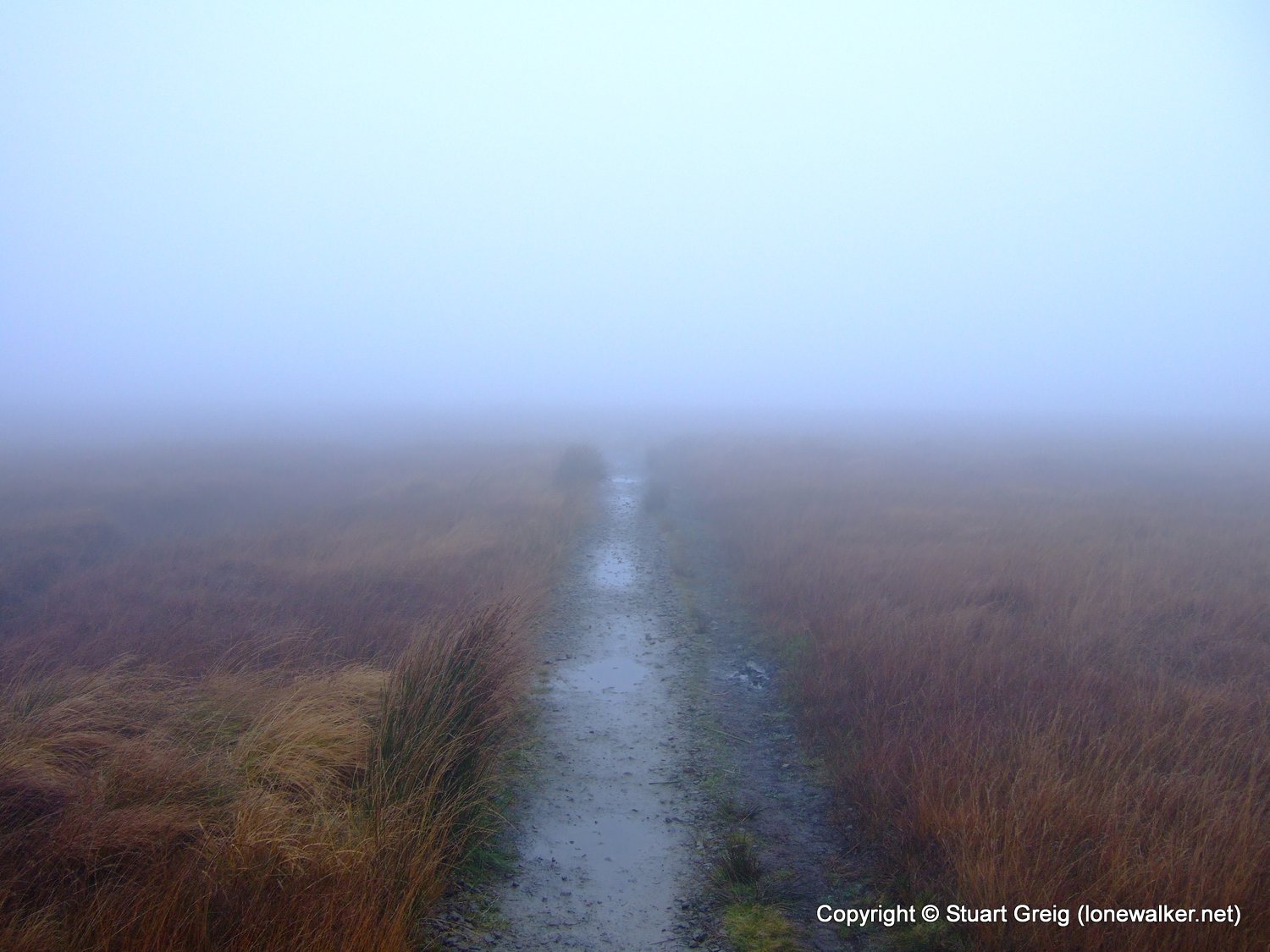
Region: Peak District
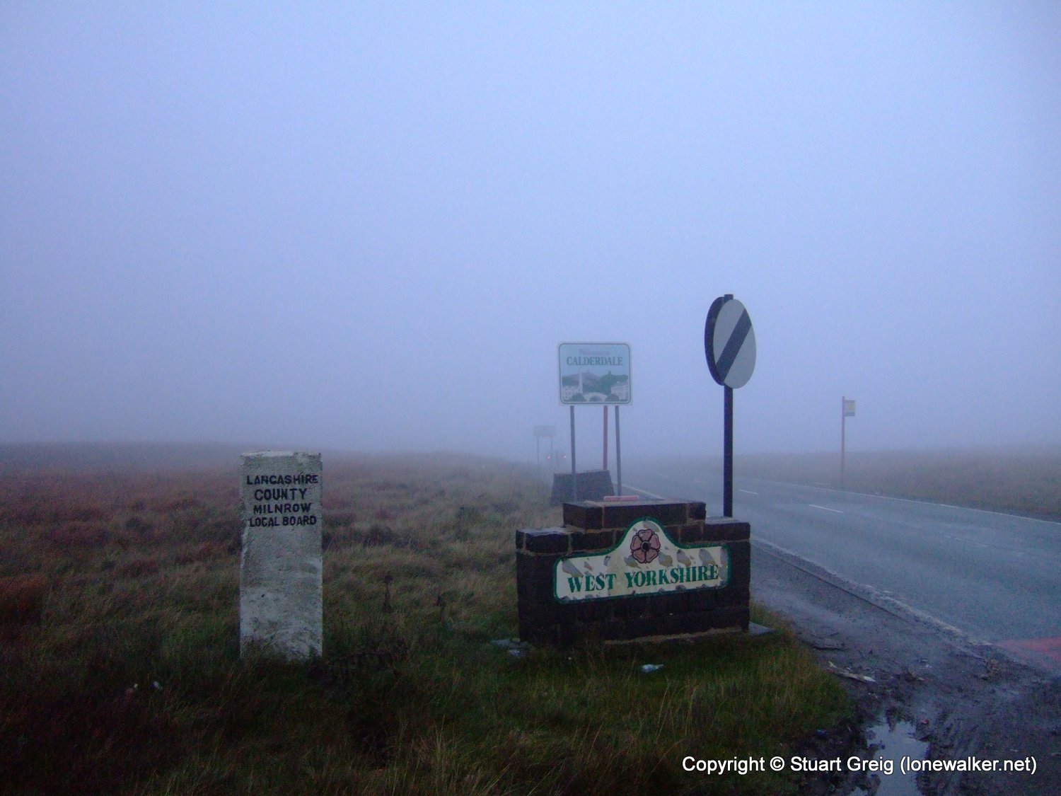
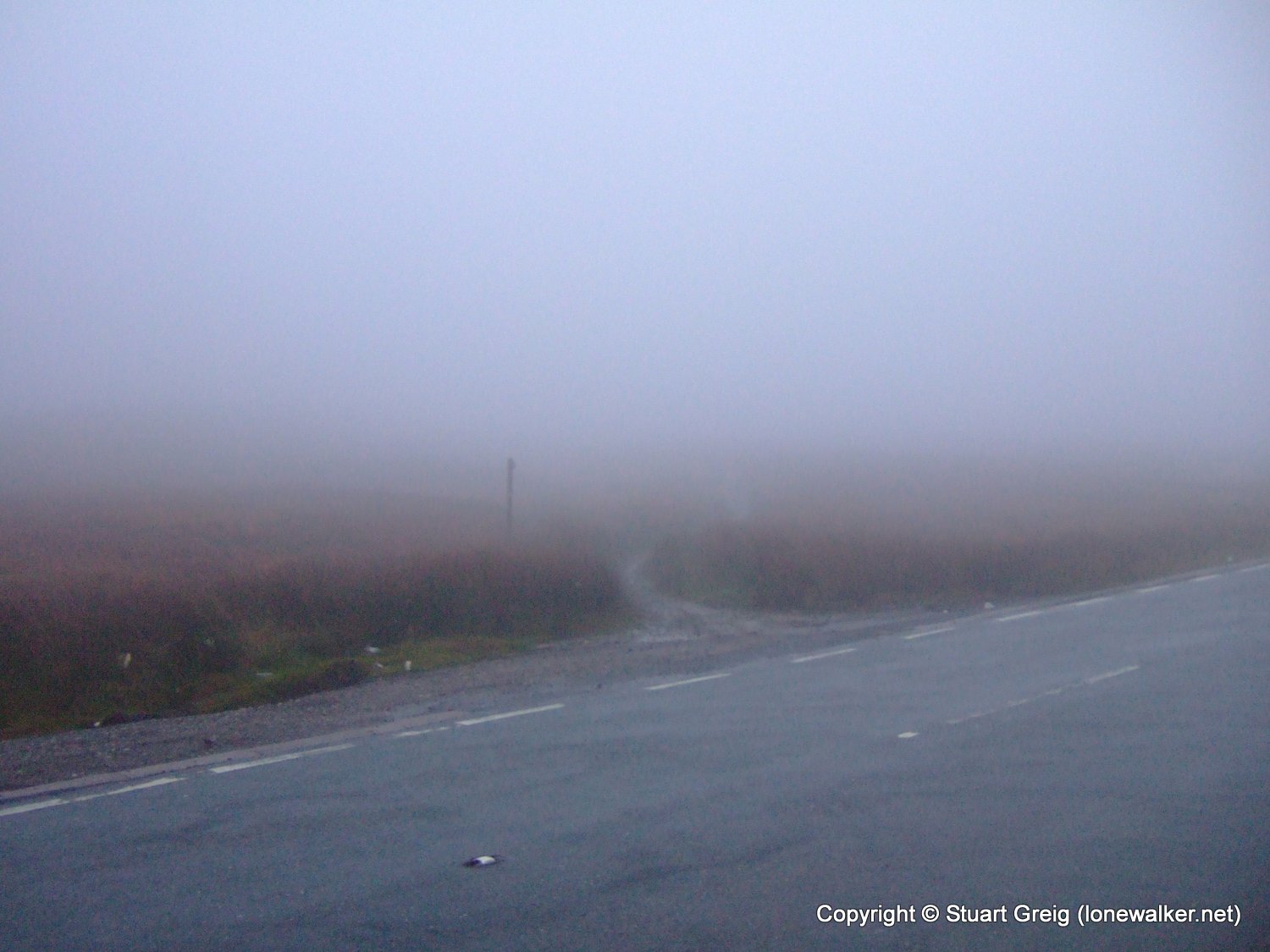
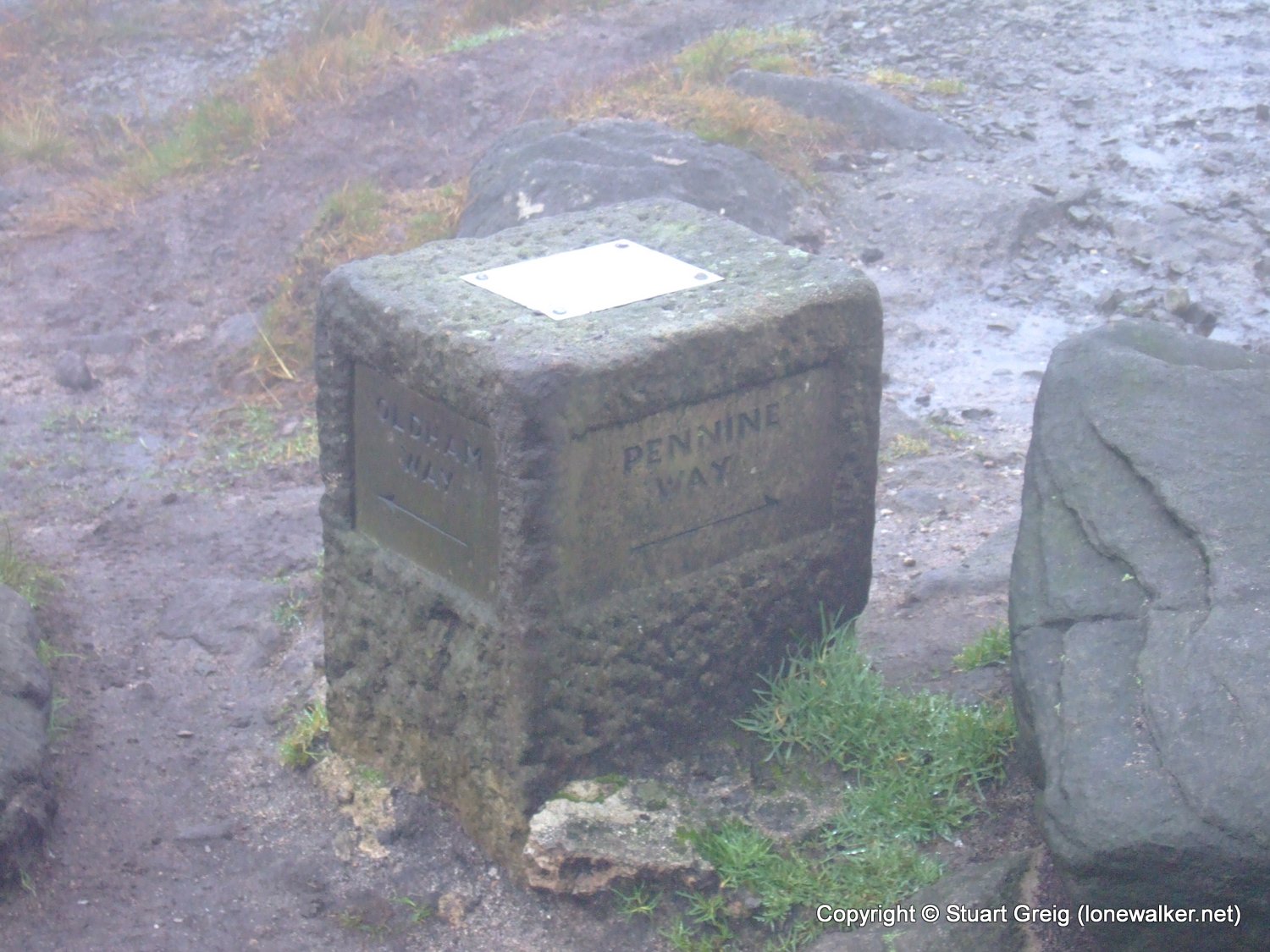
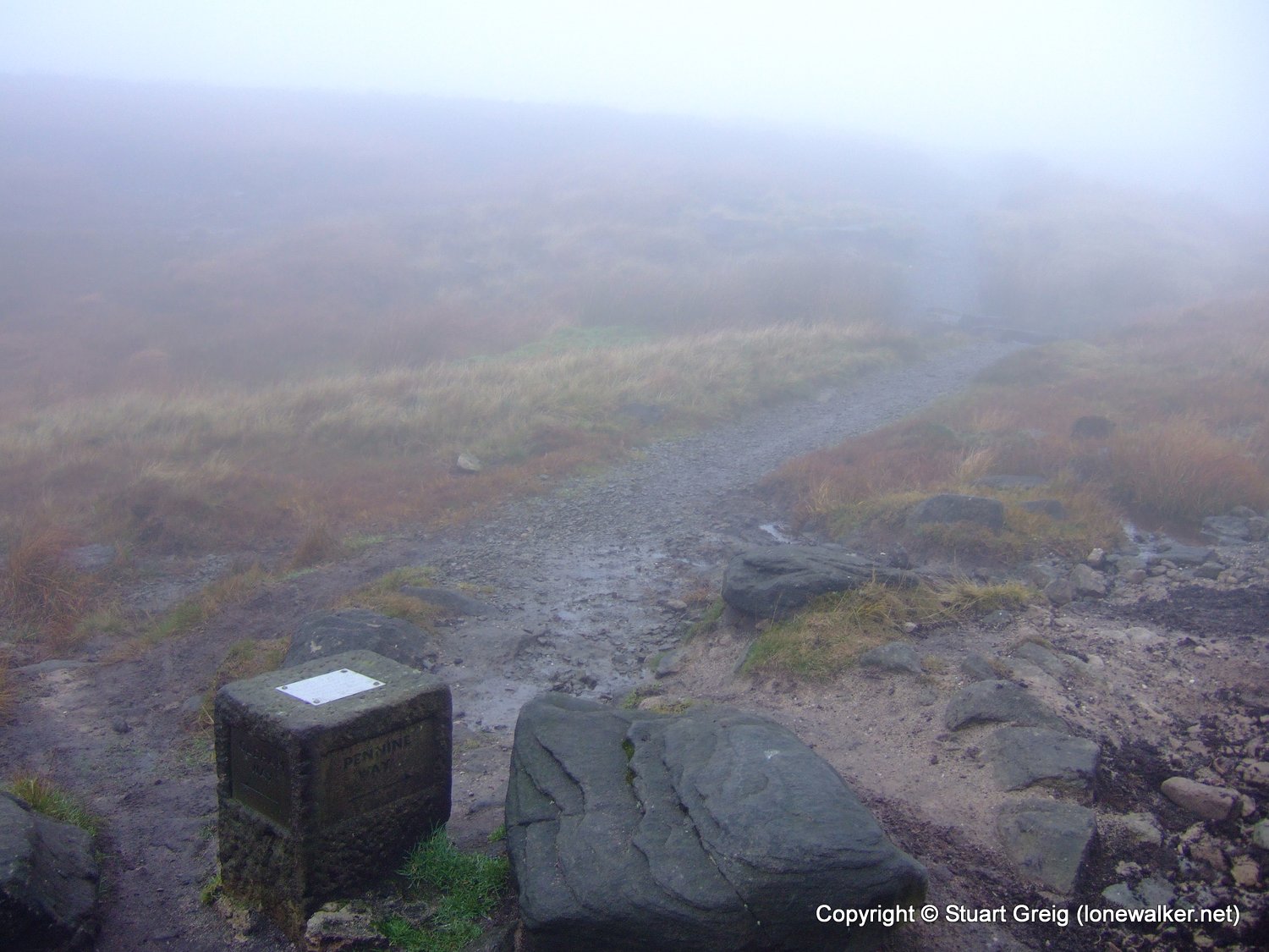
Route Description: Axletree Edge, White Hill, Haigh Gutter, Standedge and return
Parking Grid Ref: SD 98298 14155
View Parking space in: OS Map or Google Street View
Walking with: Alone
Long Distance Path:
TP4930 - Moss Moor (Slightly damaged condition)
TP6152 - Standedge (Damaged condition)
Click any image to open the full screen photo gallery


Walk Name: Stonethwaite to Keswick
Date: 2007-10-21
Distance: 11.0 mls, 17.70 km
Height Gain: 1400 ft, 426.7 m
Walk Name: Shining Tor & Axe Edge
Date: 2007-11-03
Distance: 12.0 mls, 19.31 km
Height Gain: 2100 ft, 640.1 m