
Rather oddly I was on a training course this week. Which in itself is not odd at all. The odd part is that it was a virtual learning course, conducted over the web with special software and unfortunately being run from California! The result is a 16:00 start to my working day and a 23:00 finish. This time shifting allowed me to get out on a couple of walks though and take advantage of the reasonable weather this week.
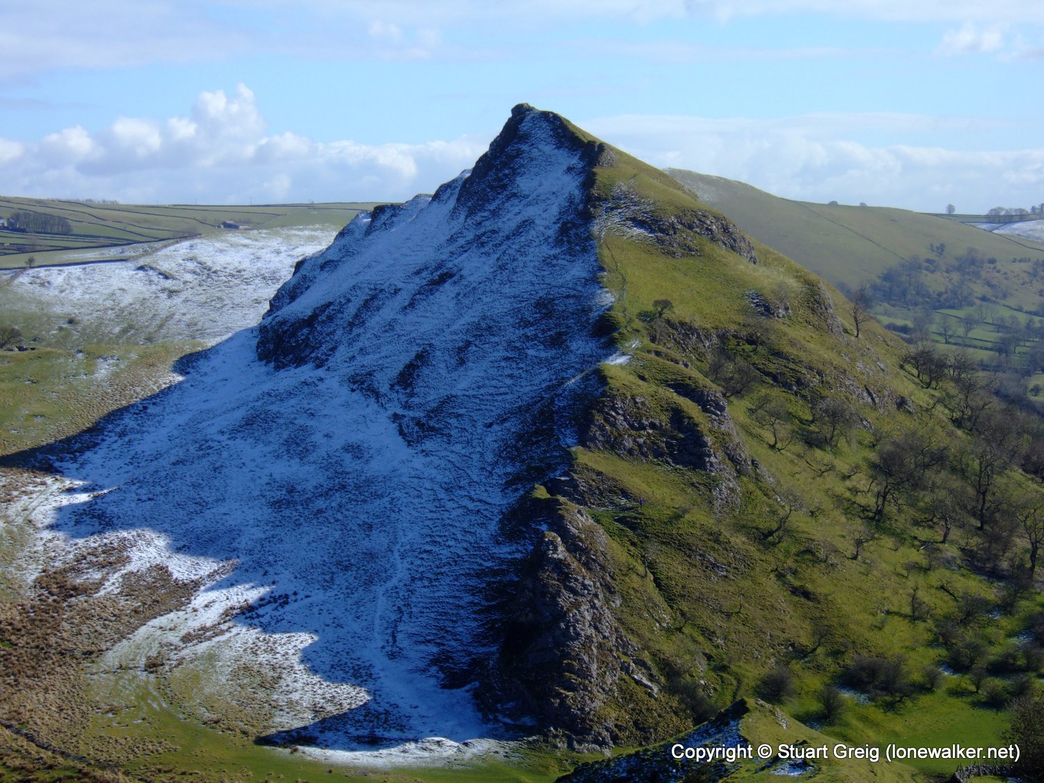
I decided to start in the Peaks, a recent snow shower dissuaded me from attempting anything high in the Lakes; simply because that's when you start to need ice axes and crampons - hardware I don't think i will ever possess. Judging by Rambling Pete's walk up the Old Man though - I missed a treat (his walk report can be found here). I chose a route along the Dragon's Back; a series of exposed coral reefs running end-to-end for a couple of miles near Longnor. There was also a pair of trig points that I should have bagged on a previous walk, but had missed due to time constraints.
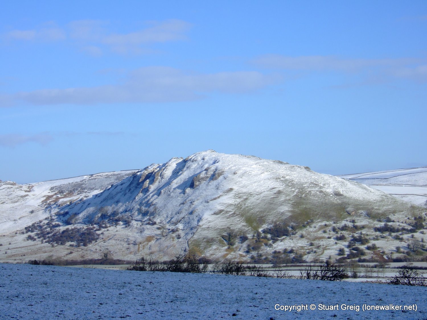
The drive in to the Peaks was wonderful, everywhere was covered in a couple of inches of snow and there were small drifts alongside many of the roads, certainly off the main thoroughfares. This is Chrome Hill seen from the Hollinsclough to Longnor road. I couldn't resist stopping to get a shot.
The snow was already beginning to melt off. When I was in the sunshine and sheltered from the wind this was a lovely warm walk. Unfortunately when the wind hit and I was in shade it was bitterly cold. I started the walk in just base layer and thin fleece but soon had to don my coat to combat the wind and cold. In fact I put my coat on and took it off again, three times during the day.
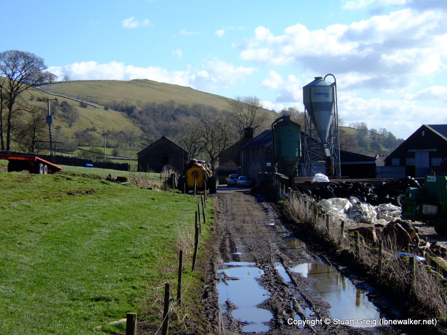
First stop of the morning was the trig point at Hardings Booth. A good covering of snow underfoot here. I needed to trespass a little bit to bag this one and it was overlooked by a caravan park all the way. A surprising number of "tin tents" were already in-situ in the park - takes all sorts I suppose.
The sheep and early spring lambs were delighted to see me! I think they were hoping for a hand-out. These lambs look to be a few weeks old already and bleated for ages, even after I left them behind - the other side of a cattle grid.
The next stile along this wall gave me the biggest fright I've had since I started walking though! The top step had come away from the supporting pole and as I placed my weight on it the step slid away and my leg fell between the top plank and the bottom step, I lost my balance and fell sideways to land on the floor in a heap. If the top step had slid the other way my leg would have been stuck between the two steps and my body weight falling in the other direction would certainly have snapped my trapped leg. A sobering thought to say the least.
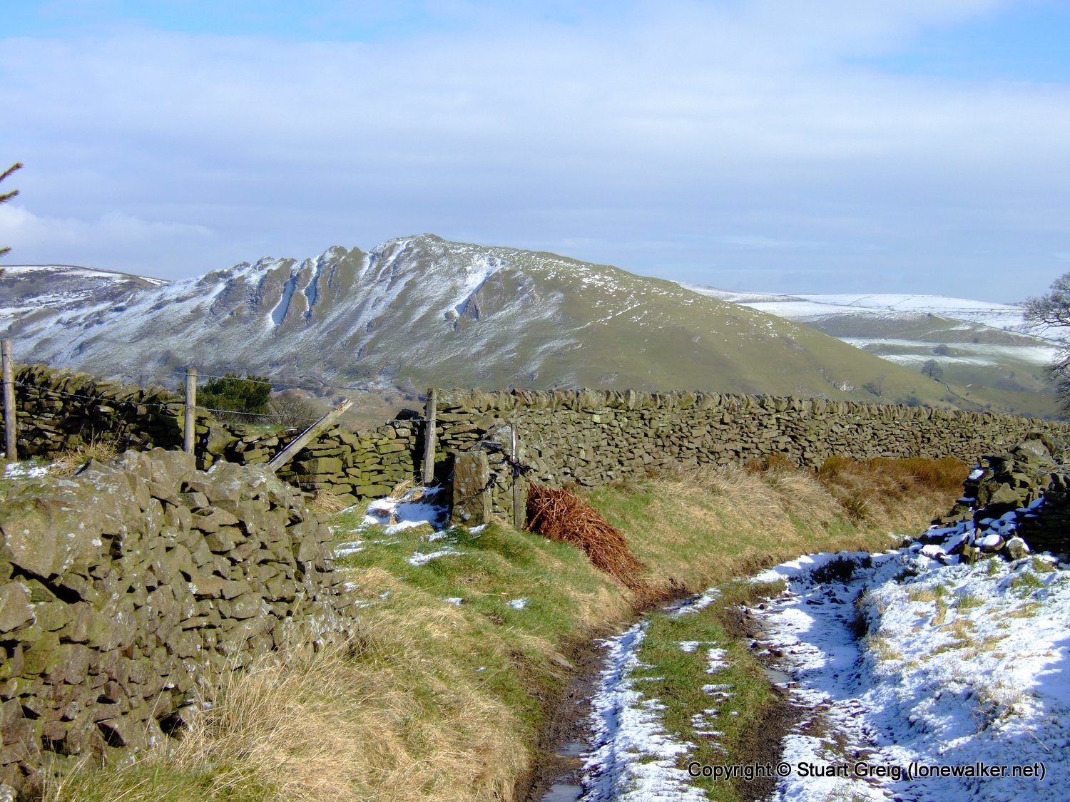
I've looped around Hollins Hill now and I'm approaching Chrome Hill from the north west. Although there is no public right of way across the hill and it's not actually on access land, there has been a concessionary agreement reached with the landowner to allow access to this superb pointy summit. I guess it was either that or just live with all the walkers who were trespassing on the hill anyway.
The best way to get on the hill from the north is to head for the Stoop farm access road that leaves the minor public road at SK065683. From here there are signposts showing the concessionary path to Chrome Hill. The path runs around the north of Tor Rock and then drops down steeply to the base of Chrome Hill.
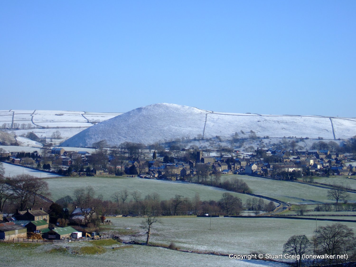
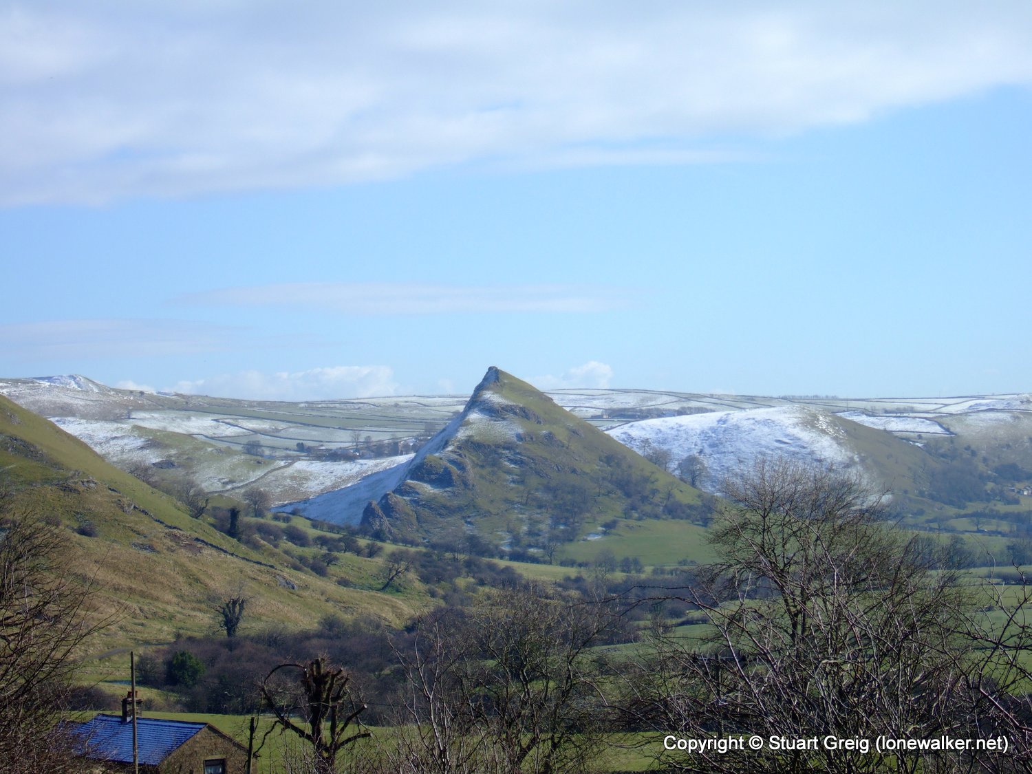
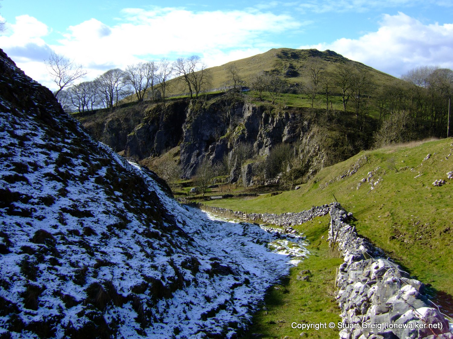
I'd decided to skip the steep climb up Parkhouse Hill, just so I had the energy to reach the top of High Wheeldon, which has a trig point. I like the way the hill is green on one side and white on the other.
At the foot of High Wheeldon and it was lovely and warm in the sunshine down here, it was bitterly cold on the top of the hill. The rock wall ahead was being scaled by two climbers - they didn't seem to appreciate me telling them there was a much easier footpath to the top, just round the side of the hill.
Date: 2008-03-04
Start: Longnor Finish: Longnor
Distance: 12.5 mls, 20.12 km
Height Gain: 2600 ft, 792.5 m
Start Time: 09:21 End Time: 13:52
Duration: 04:31
Ave Speed: 2.8 mph
Region: Peak District
Route Description: Longnor, Heath House, Shining Ford, Hollinsclough, Stoop Farm, Chrome Hill, Hitter Hill, High Wheeldon, Longnor
Parking Grid Ref: SK 08903 64907
View Parking space in: OS Map or Google Street View
Walking with: Alone
Long Distance Path:
16510 - Chrome Hill (1453 ft)
16523 - High Wheeldon (1384 ft)
16601 - The Hills (1184 ft)
TP3614 - Hardings Booth (Damaged condition)
TP3813 - High Wheeldon (Good condition)
Click any image to open the full screen photo gallery


Walk Name: Black Hill & Black Chew Head
Date: 2008-02-23
Distance: 10.5 mls, 16.90 km
Height Gain: 1800 ft, 548.6 m
Walk Name: Victoria Cave
Date: 2008-03-06
Distance: 7.5 mls, 12.07 km
Height Gain: 1600 ft, 487.7 m