
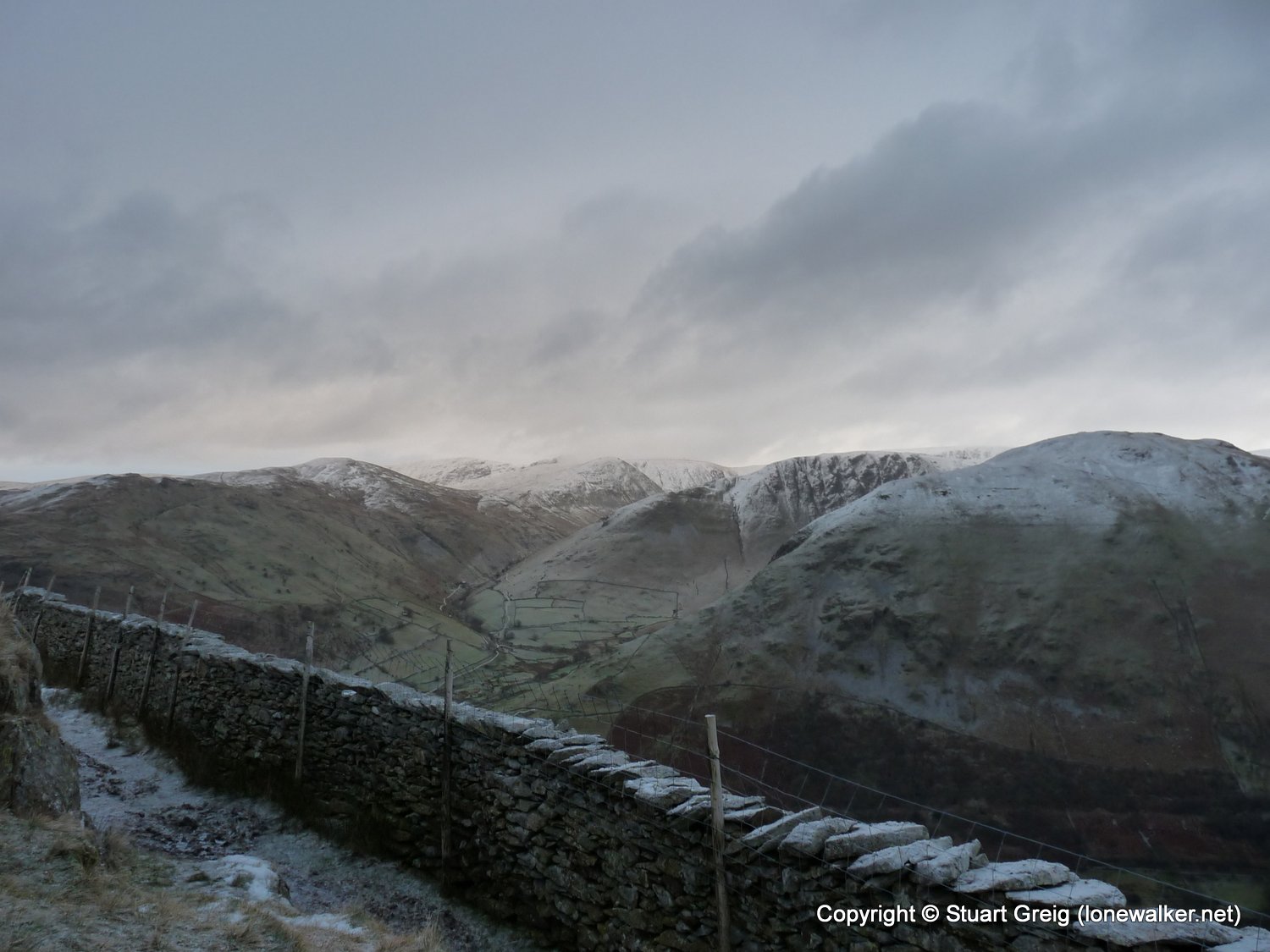
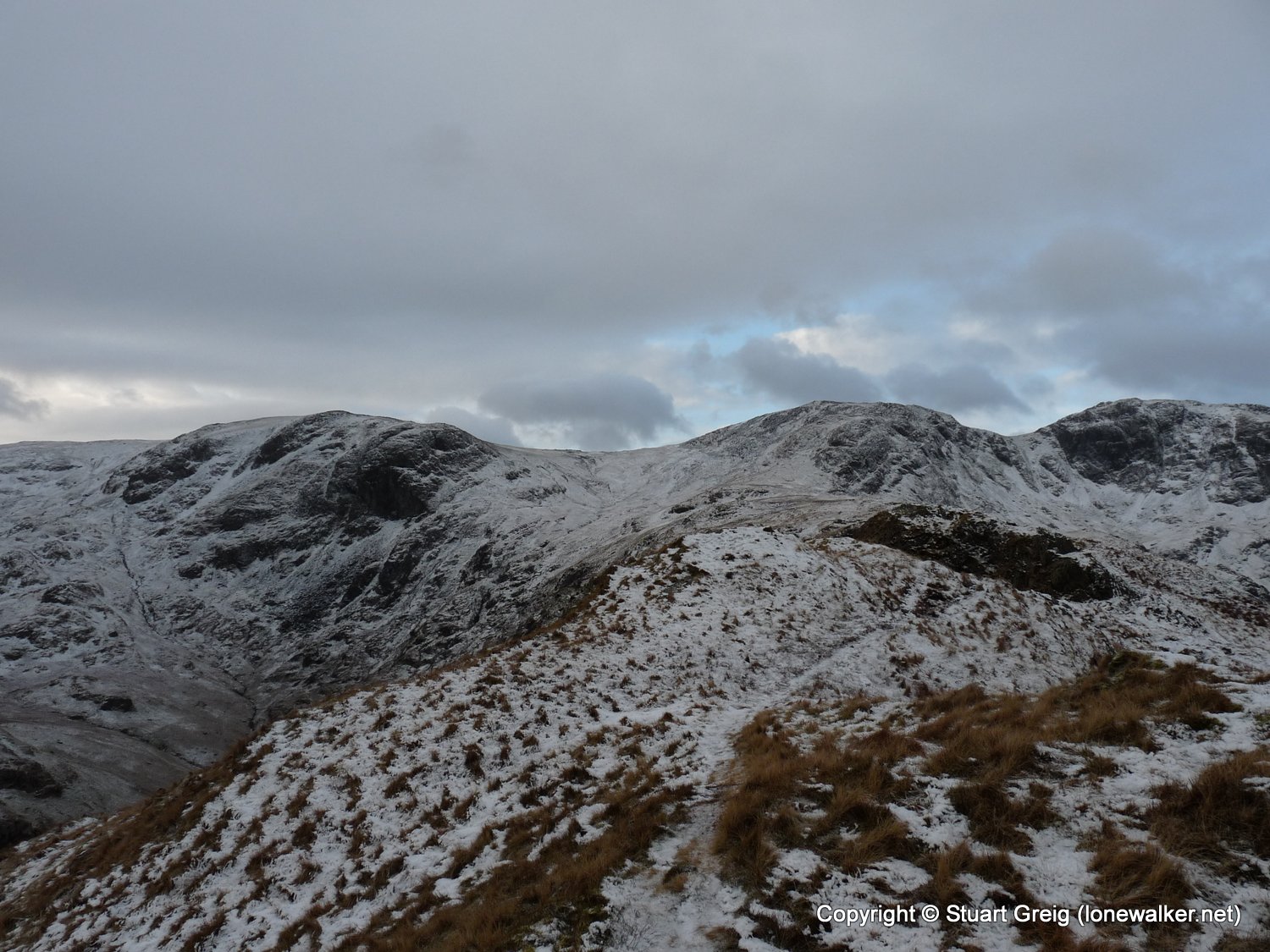
Today was one of those days when I told myself I should be out enjoying the snow and winter weather. We get few enough of these types of days for me to spend it in the house. So I forced myself out of bed when the alarm went off and headed for the Lakes. I'd booked a couple of days holiday either side of a weekend and had planned to do several walks, but as it turned out this was the only one I managed. Even as I booted up in the car park at Cow Bridge I knew my heart wasn't really in it. This area seems to be jinxed for me. I'd cut a walk short two or three weeks earlier when I walked Red Screes. Only three days earlier I'd got to the car park and taken one look at the dreadful weather and then driven home again - another one of those days when I'd not felt like walking, but pushed myself to do something. I lost heart on this one about half way up the first hill. I pushed myself to reach Hartsop Above How though but that's when I stopped fighting the inevitable. I turned tail and headed back to the car. The weather had been great, but I just wasn't up for it. Some pictures follow.
Date: 2008-12-01
Start: Cow Bridge Finish: Cow Bridge
Distance: 4.5 mls, 7.24 km
Height Gain: 1600 ft, 487.7 m
Start Time: 08:04 End Time: 10:45
Duration: 02:41
Ave Speed: 1.7 mph
Region: Lake District
Route Description: Cow Bridge, roadside path, Deepdale park, follow wall to Hartsop above How, Low Wood path to Cow Bridge
Parking Grid Ref: NY 40275 13382
View Parking space in: OS Map or Google Street View
Walking with: Alone
Long Distance Path:
Link to full Walk Report: https://lonewalker.net/walk-report-hartsop-above-how/
Download GPX file for this walk:
If your browser opens the file directly, right click and "Save As.."
2578 - Hartsop Above How [Gill Crag - Hartsop Above How] (1923 ft)
3834 - Gale Crag (1680 ft)
Click any image to open the full screen photo gallery


Walk Name: Illgill Head & Whin Rigg
Date: 2008-11-22
Distance: 11.5 mls, 18.51 km
Height Gain: 2400 ft, 731.5 m
Walk Name: Gordale Scar & Malham Tarn
Date: 2008-12-20
Distance: 13.0 mls, 20.92 km
Height Gain: 1900 ft, 579.1 m