
Date: 2009-03-21
Start: Hartsop Finish: Hartsop
Distance: 7.0 mls, 11.27 km
Height Gain: 2400 ft, 731.5 m
Start Time: 07:41 End Time: 11:51
Duration: 04:10
Ave Speed: 1.7 mph
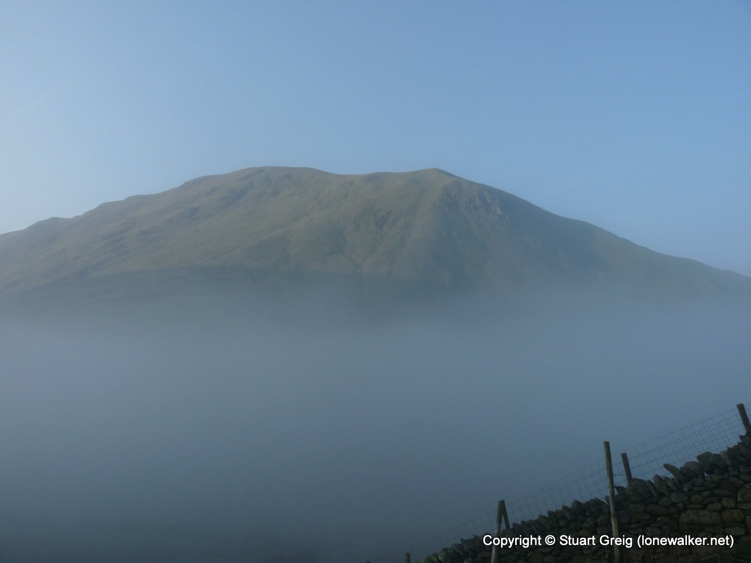
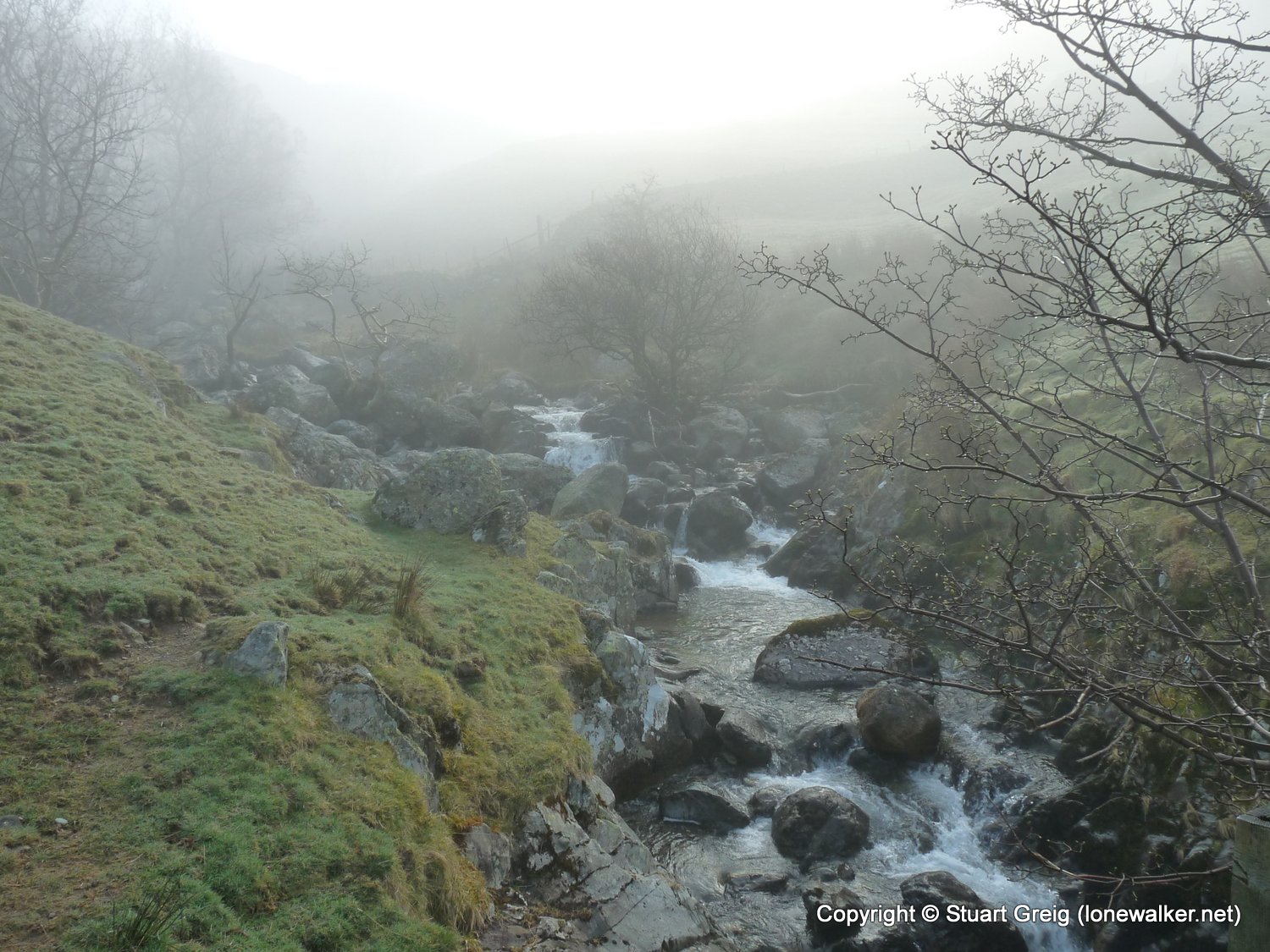
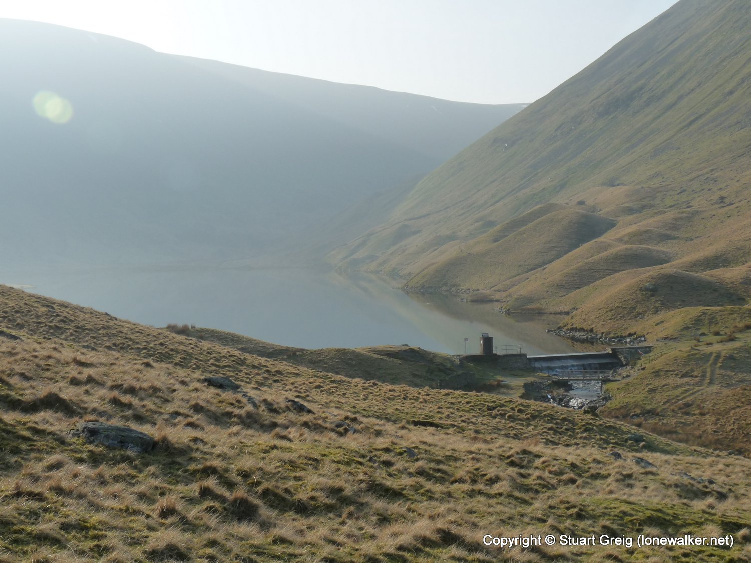
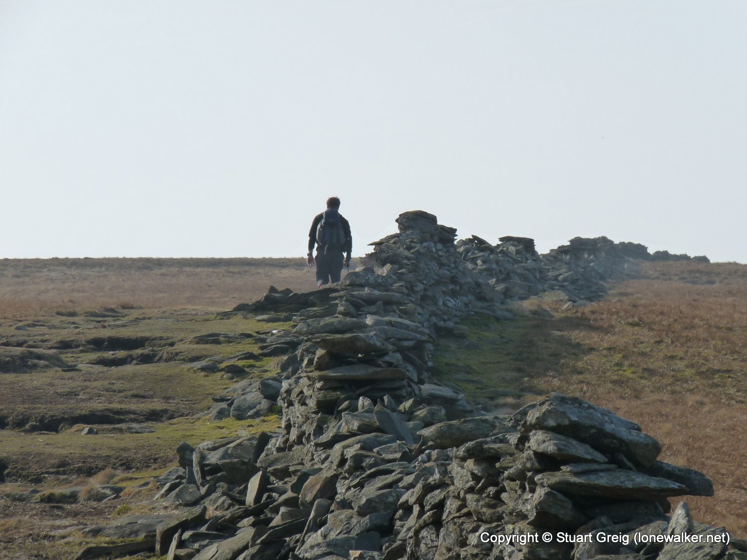
Region: Lake District
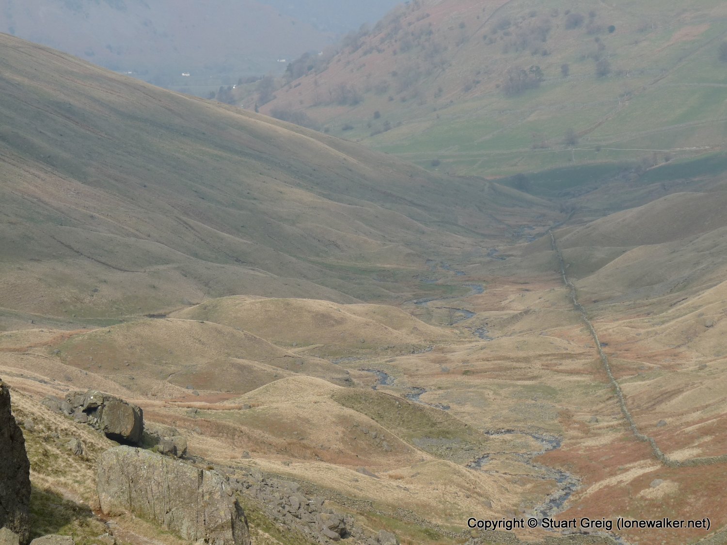
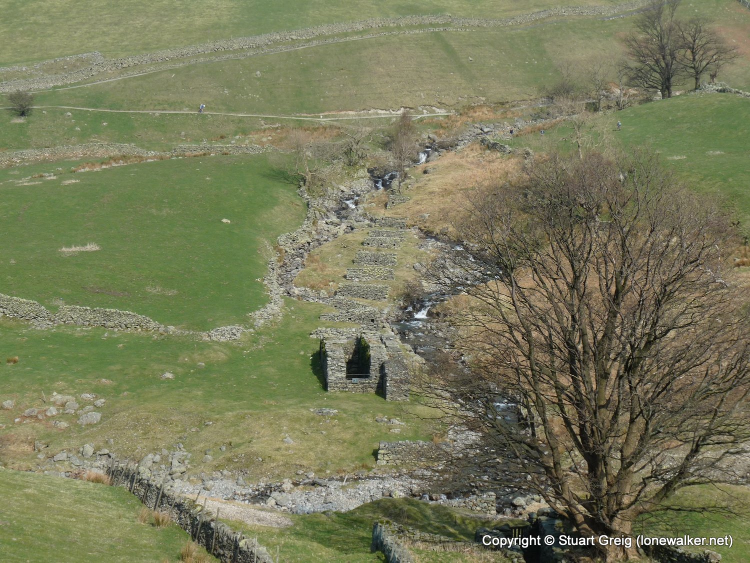
Route Description: Hartsop, path beside Hayewater Gill, The Knott, High Street, Thornthwaite Beacon, Pasture Bottom, Hartsop
Parking Grid Ref: NY 41005 13002
View Parking space in: OS Map or Google Street View
Walking with: Alone
Long Distance Path:
Link to full Walk Report: https://lonewalker.net/walk-report-high-street-from-hartsop/
Download GPX file for this walk:
If your browser opens the file directly, right click and "Save As.."
TP0693 - High Street (Slightly damaged condition)
Click any image to open the full screen photo gallery


Walk Name: Kinder Downfall
Date: 2009-03-16
Distance: 9.0 mls, 14.48 km
Height Gain: 2000 ft, 609.6 m
Walk Name: Wansfell
Date: 2009-03-28
Distance: 7.0 mls, 11.27 km
Height Gain: 1500 ft, 457.2 m