
Date: 2009-05-07
Start: Osmotherley Finish: Blakey Ridge
Distance: 19.5 mls, 31.38 km
Height Gain: 3600 ft, 1097.3 m
Start Time: 08:05 End Time: 16:04
Duration: 07:59
Ave Speed: 2.4 mph
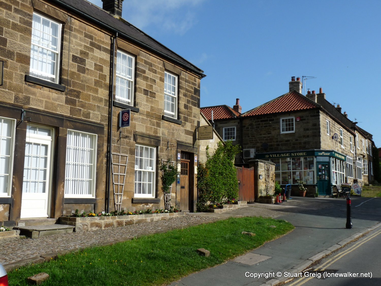
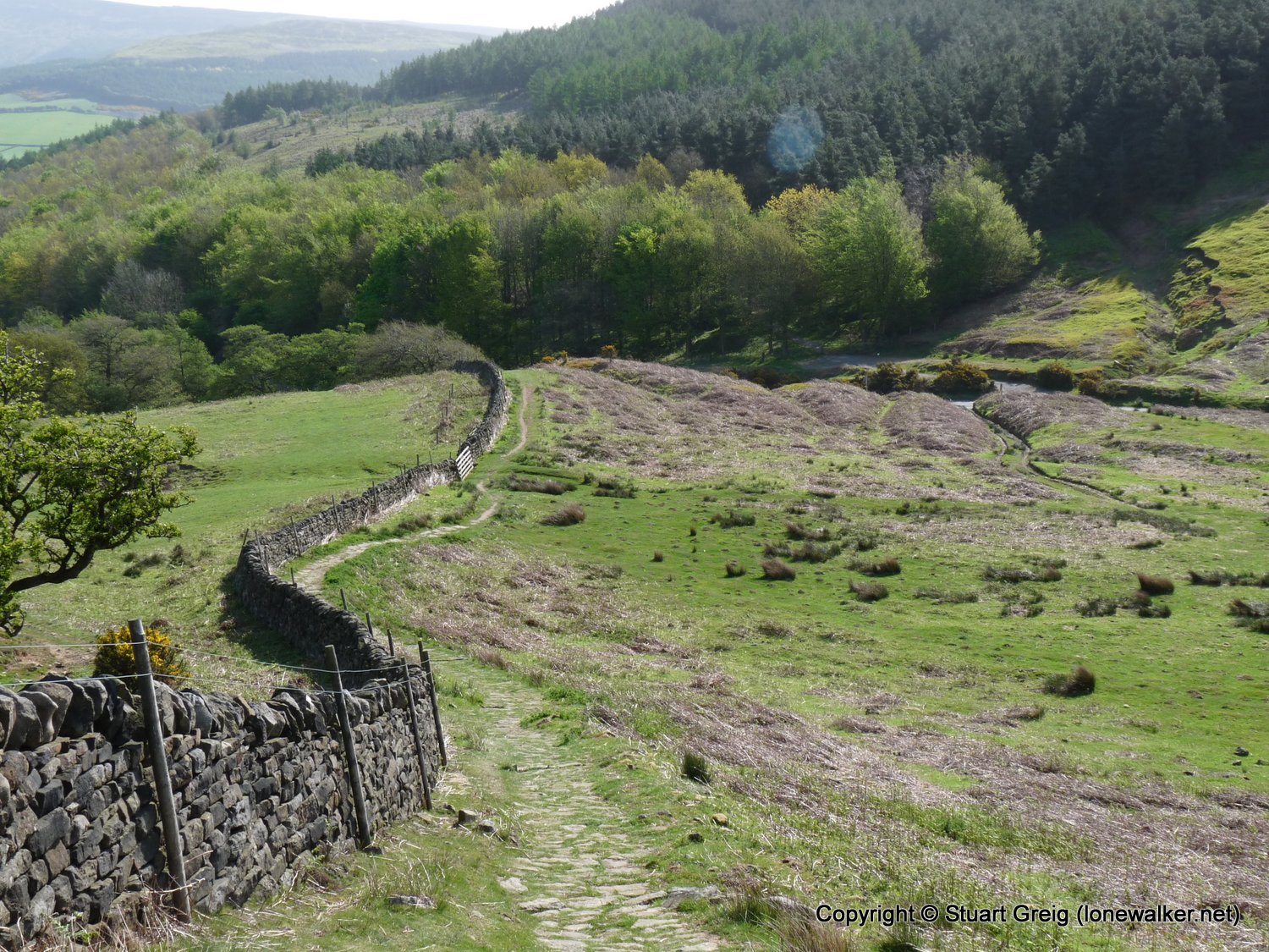
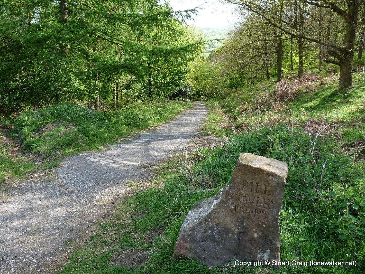
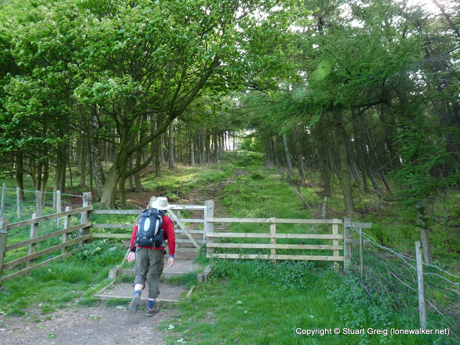
Region: North Yorks Moors
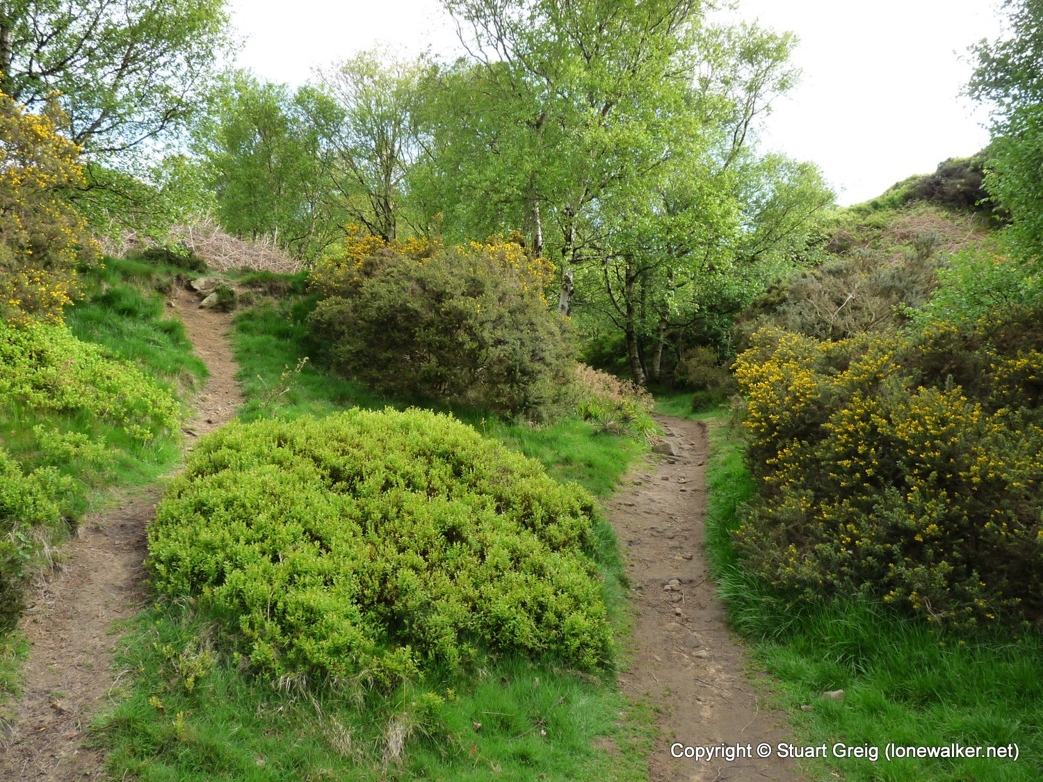
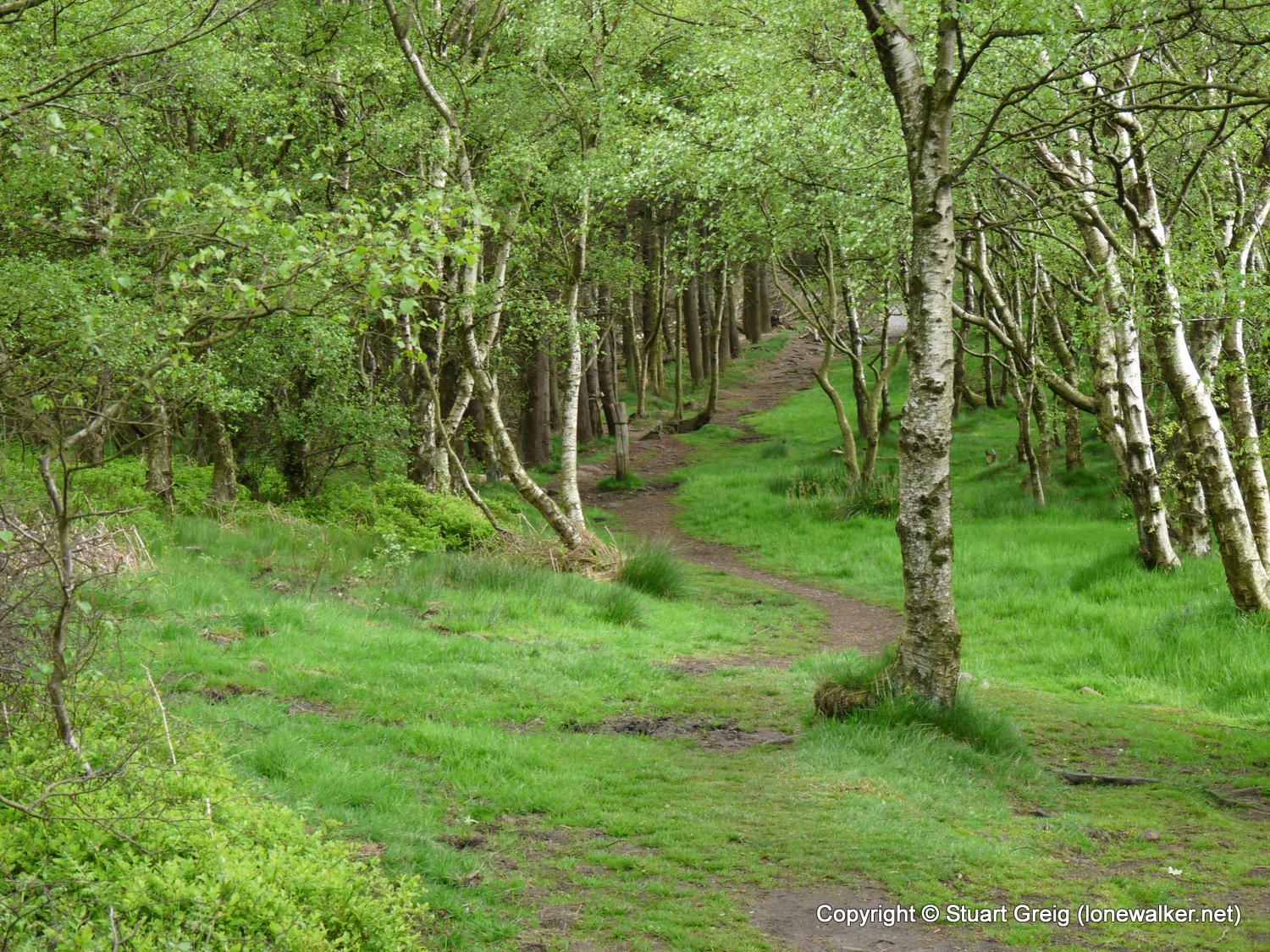
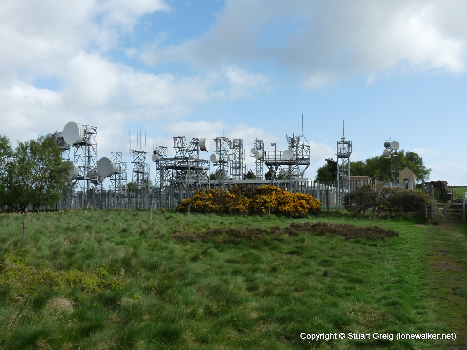
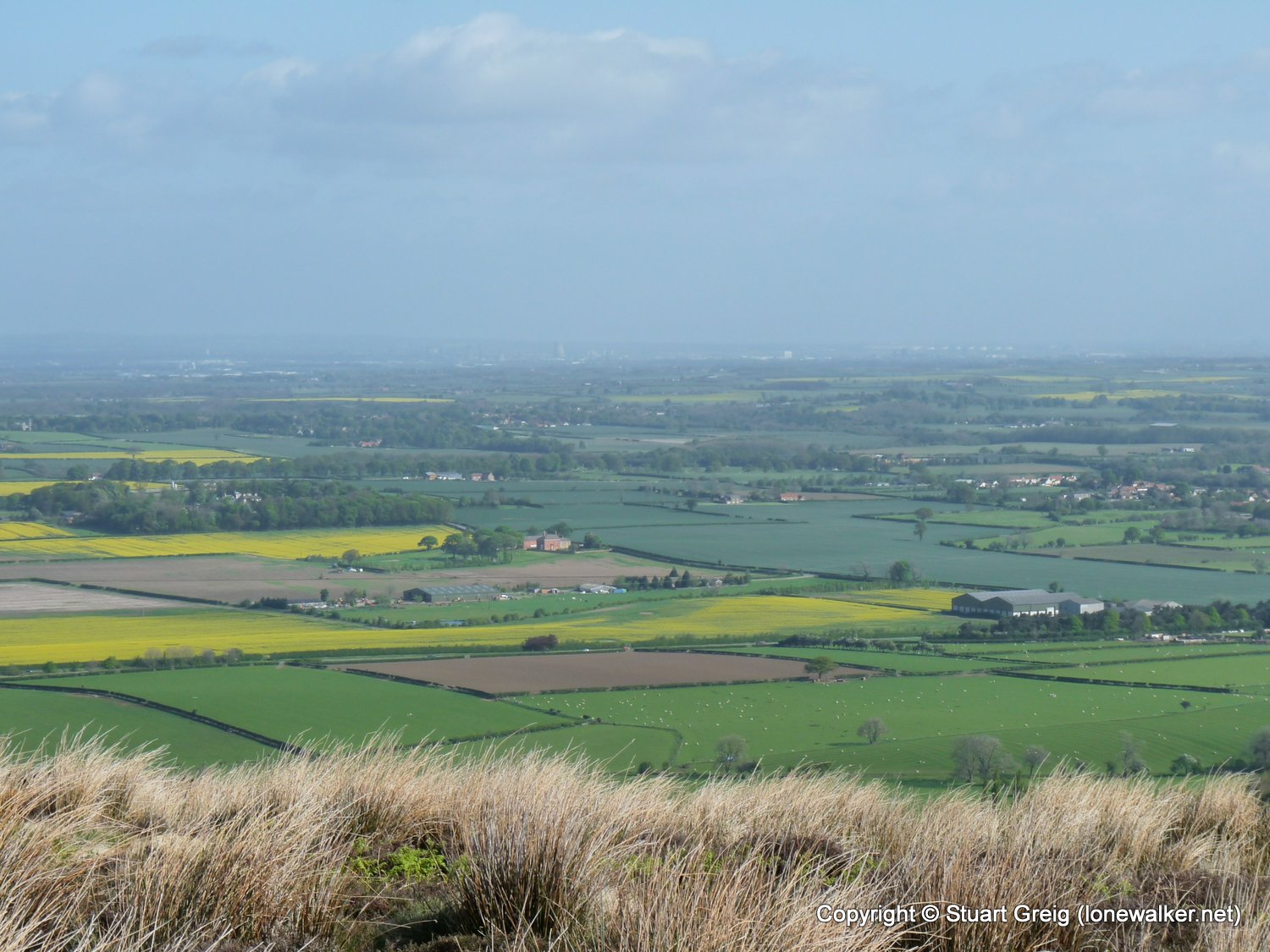
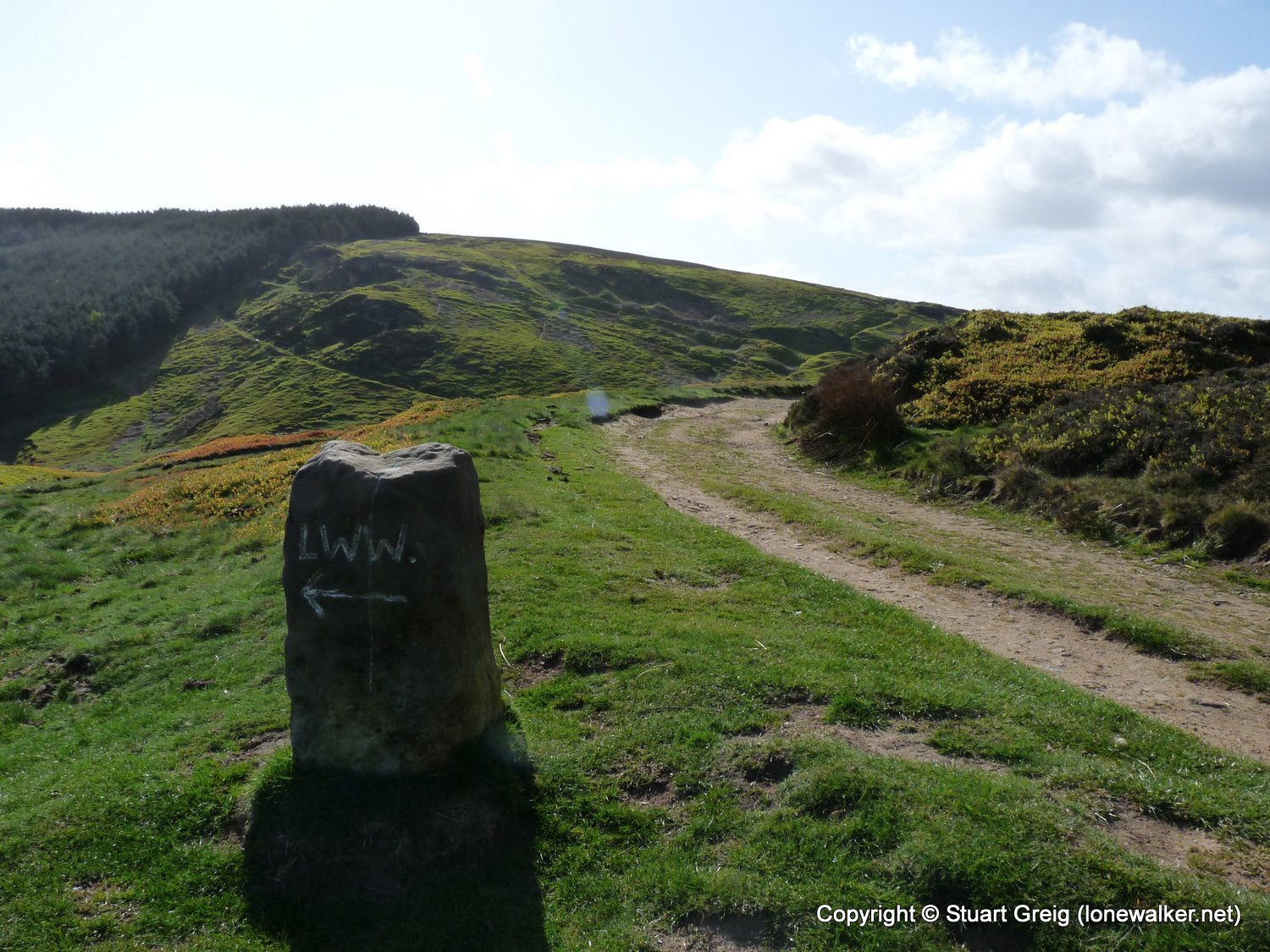
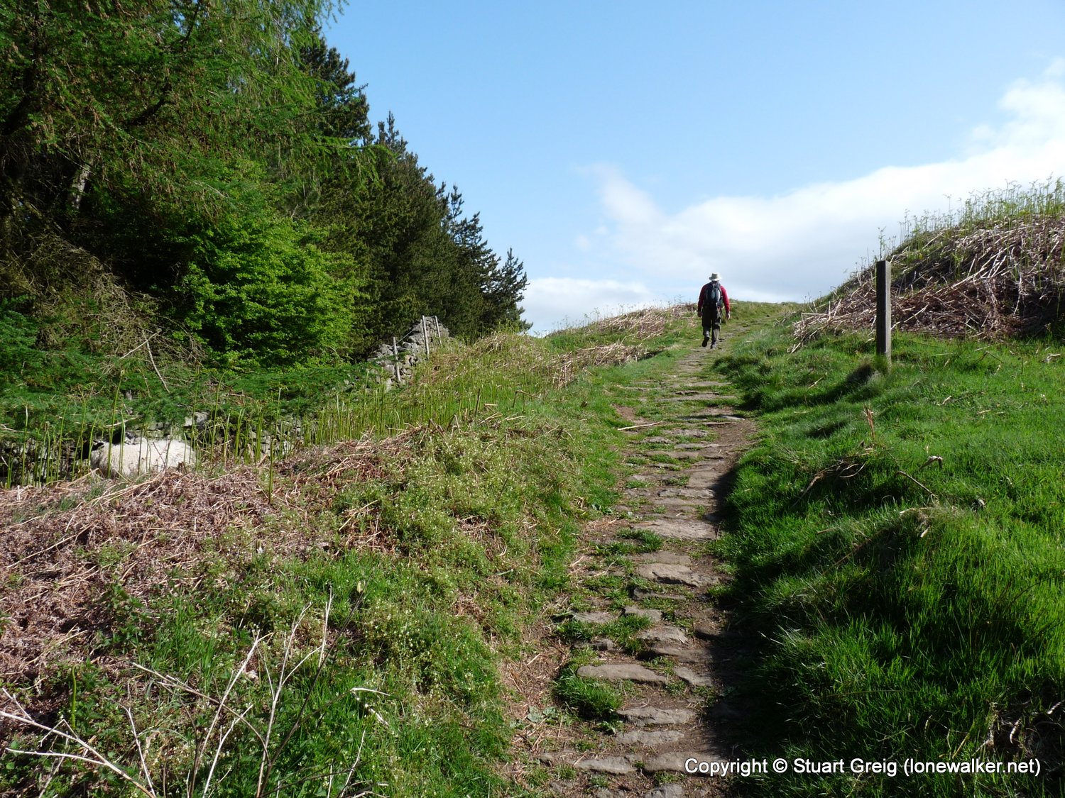
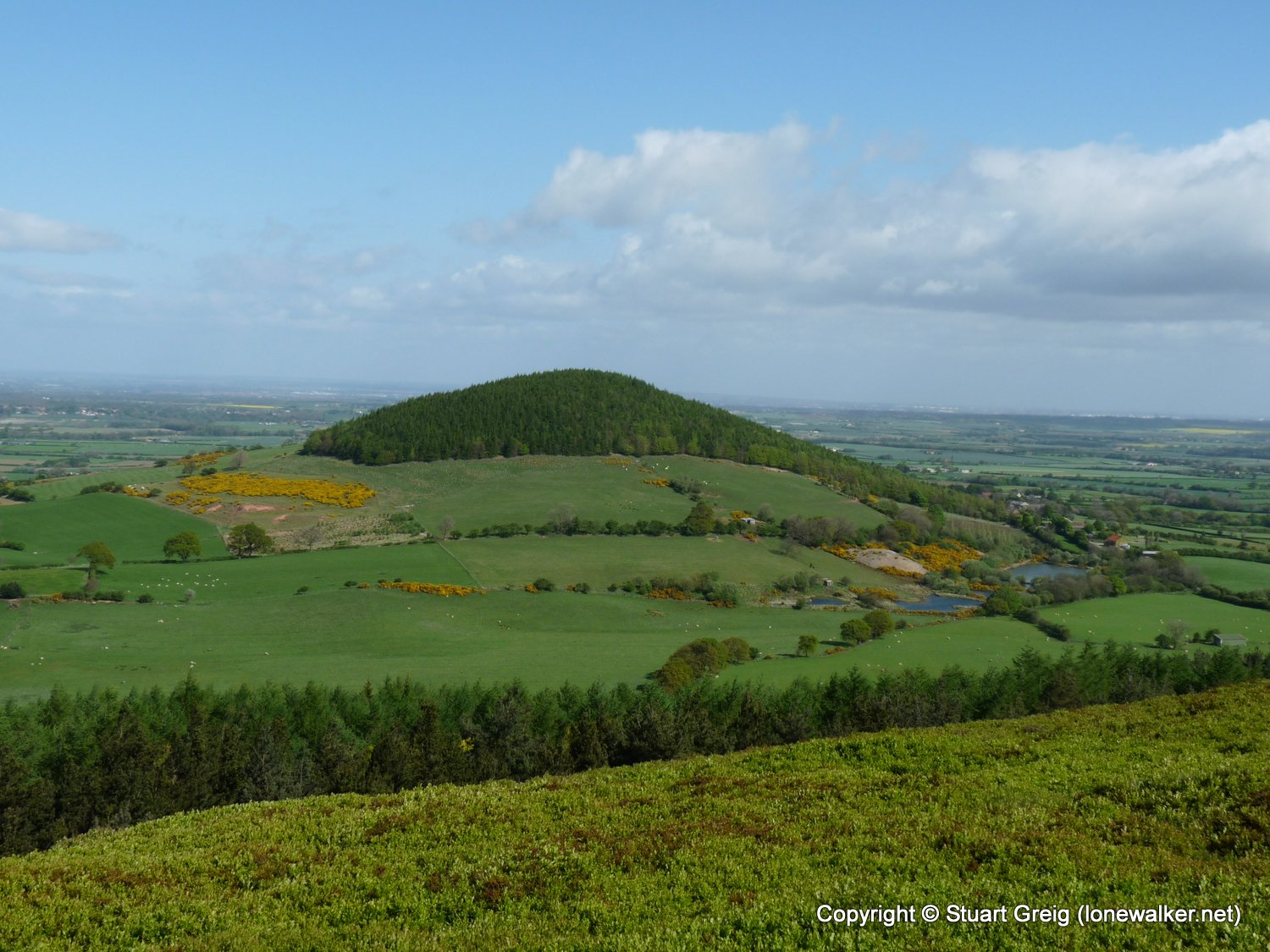
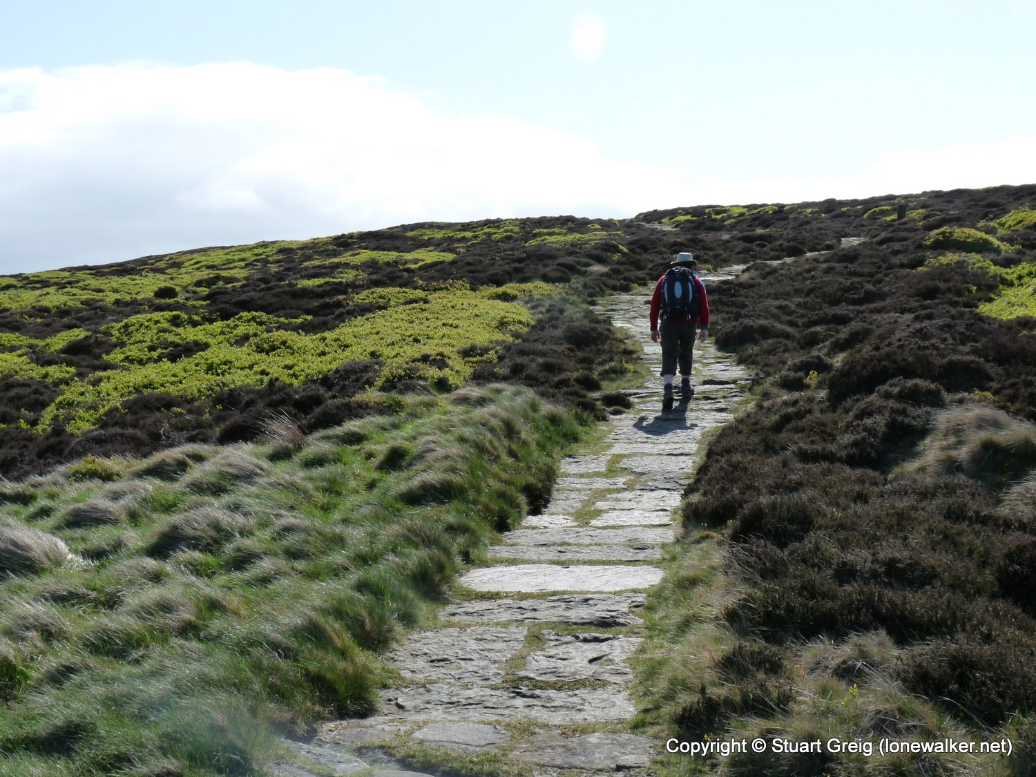
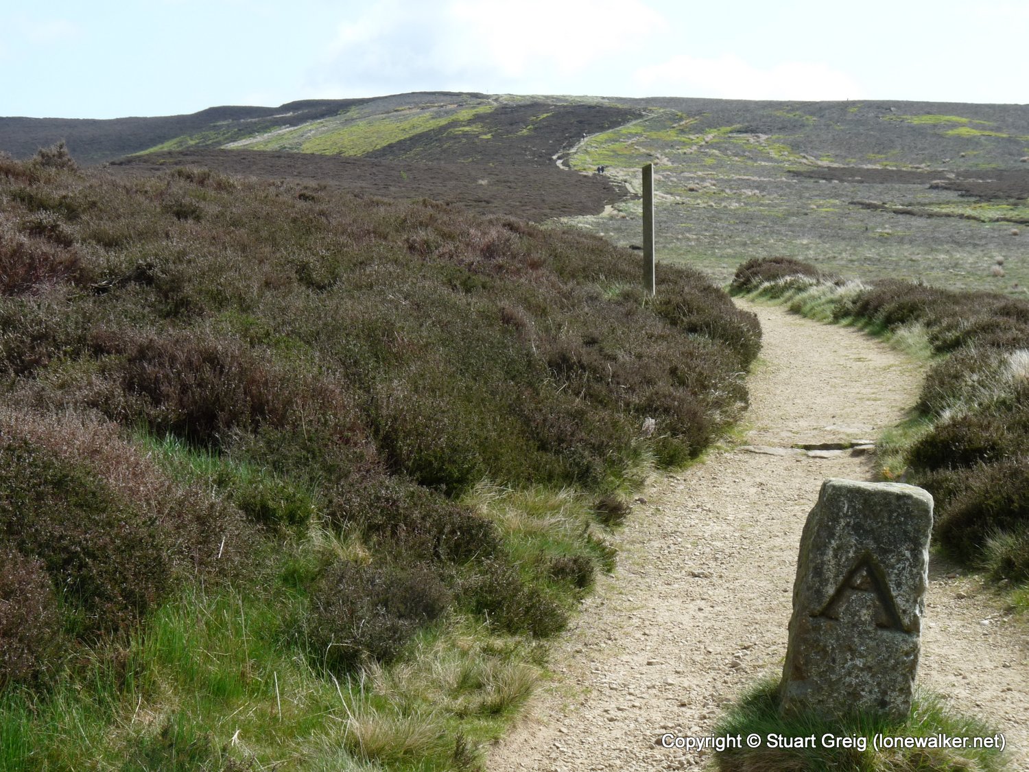
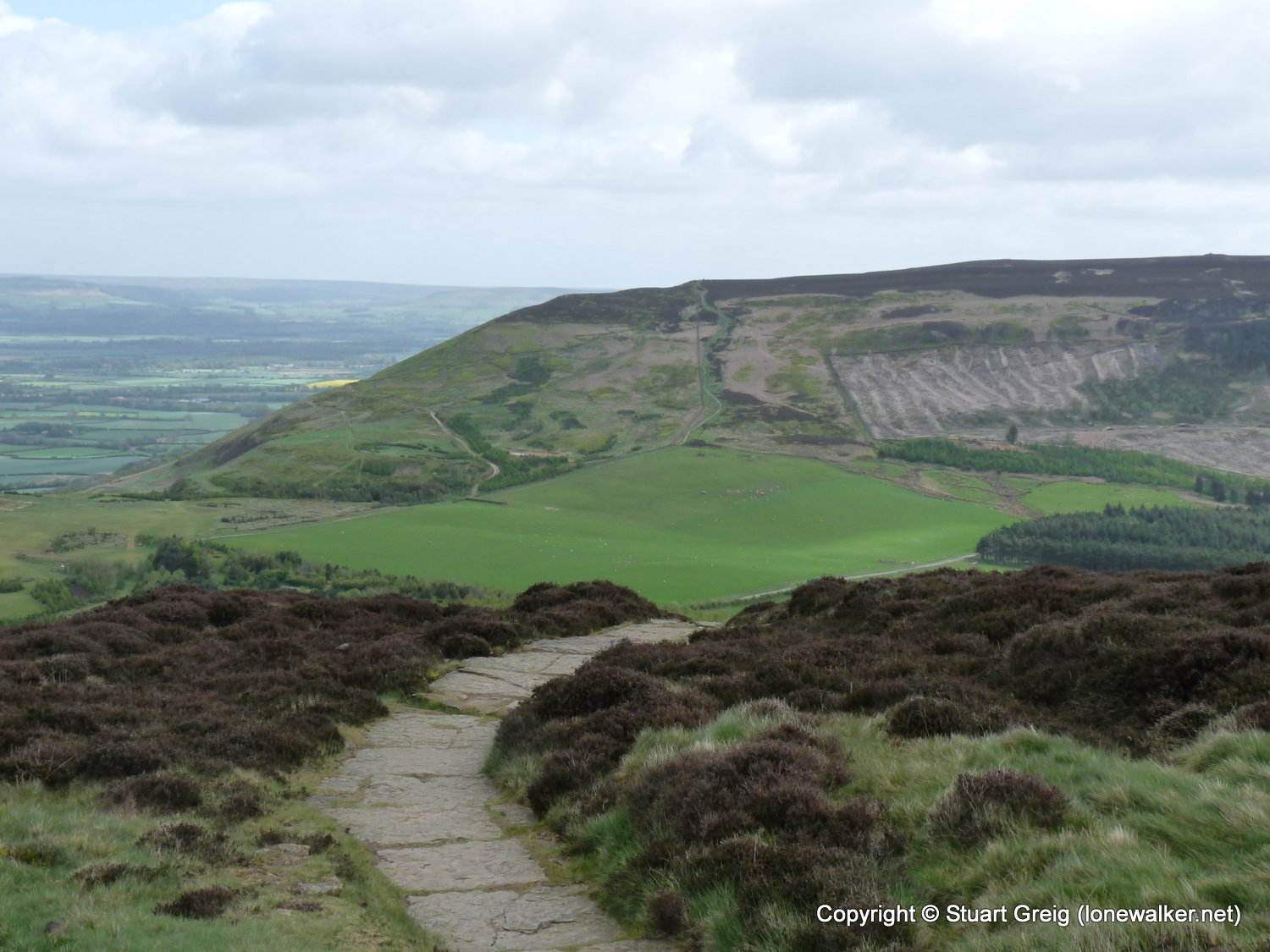
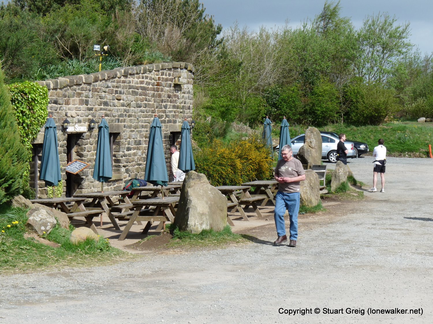
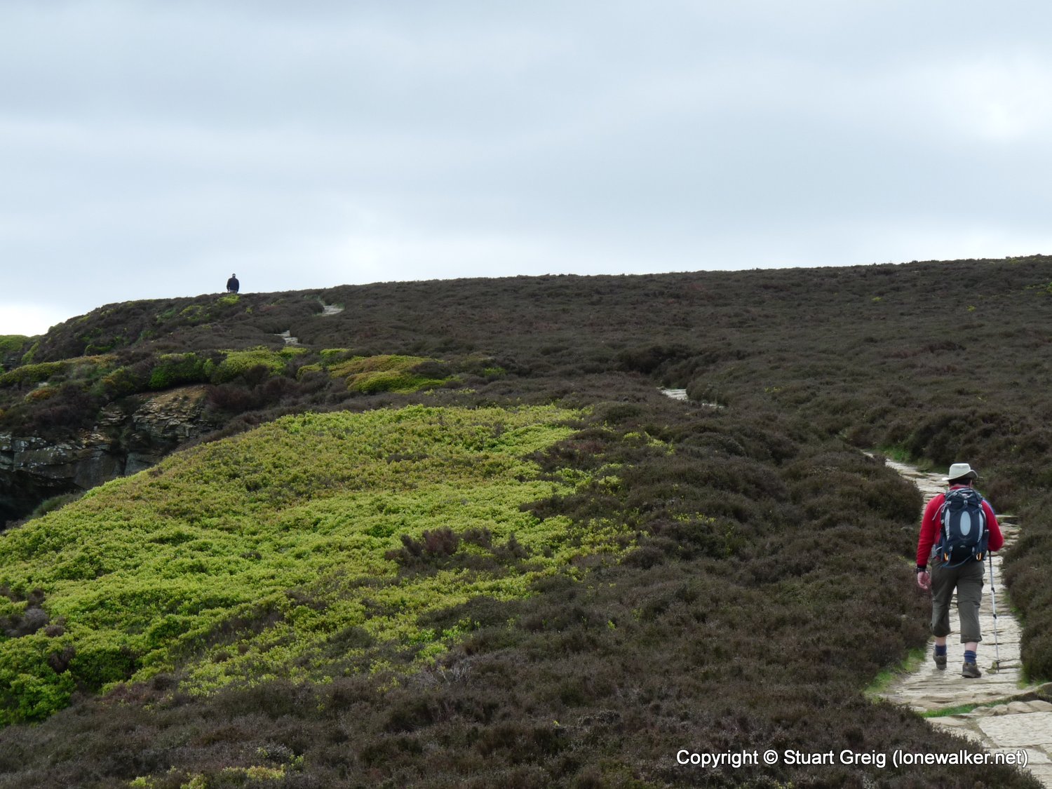
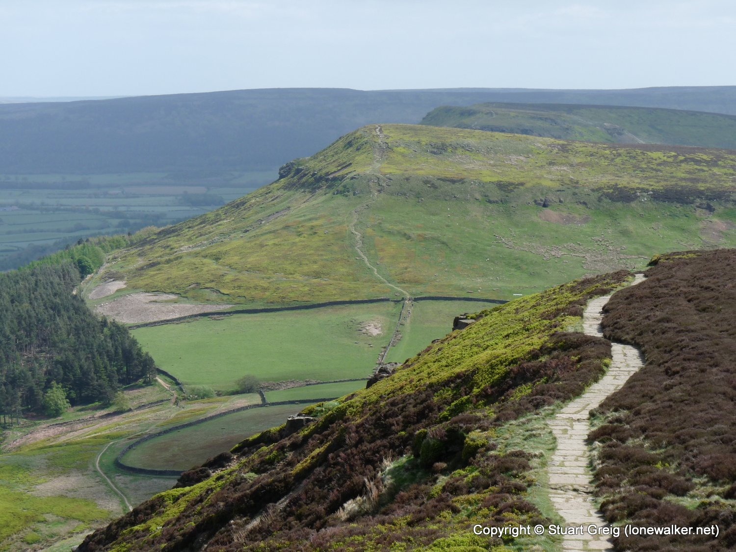
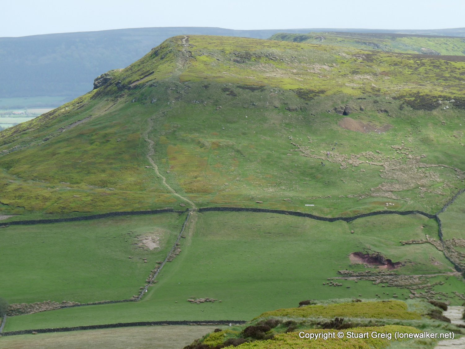
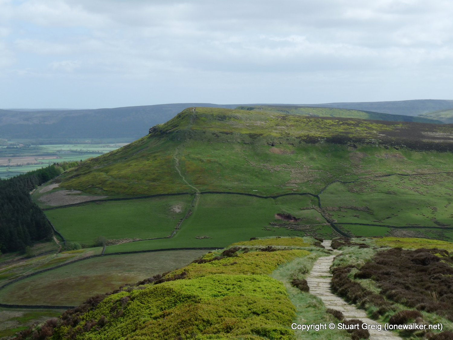
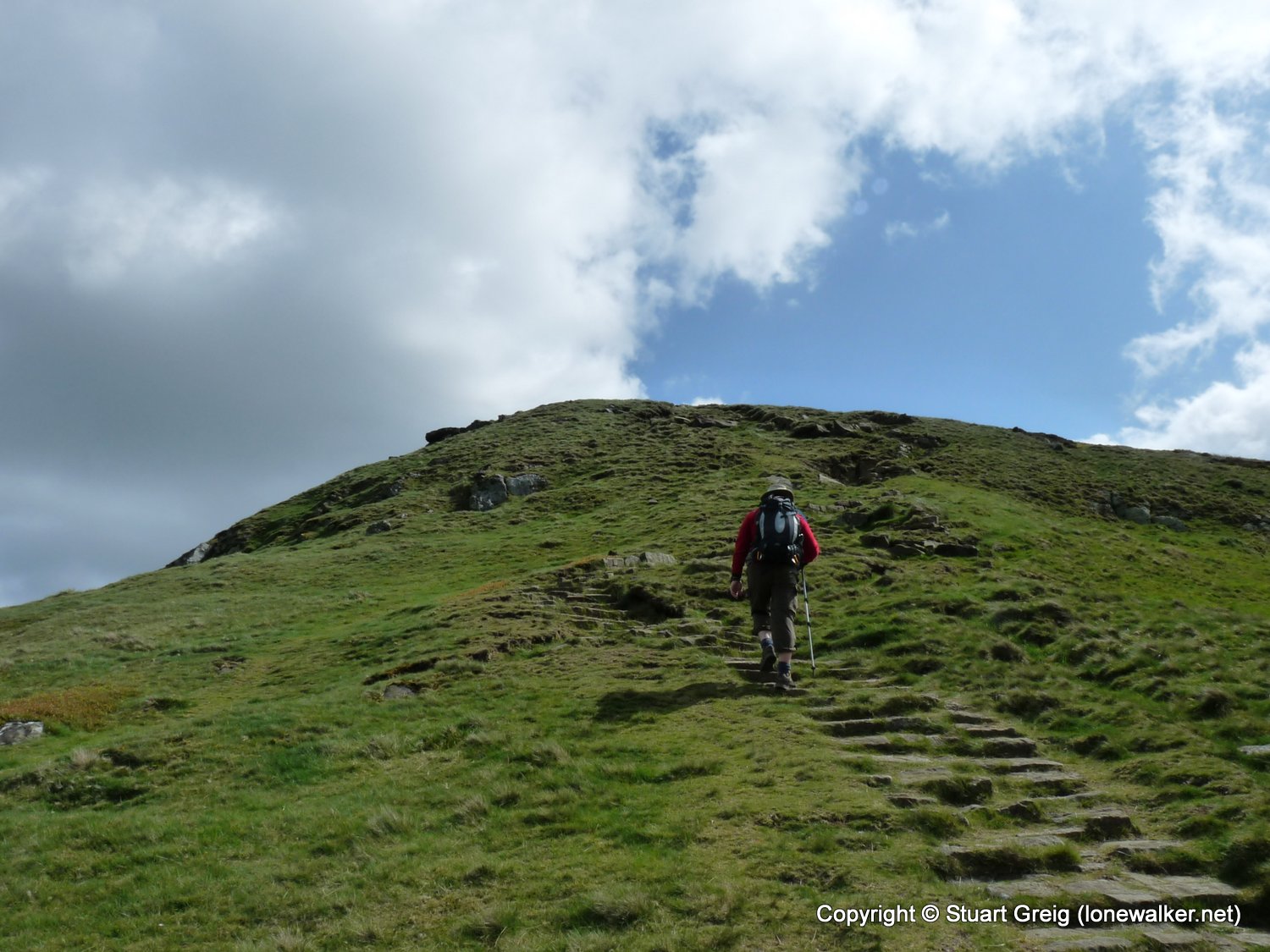
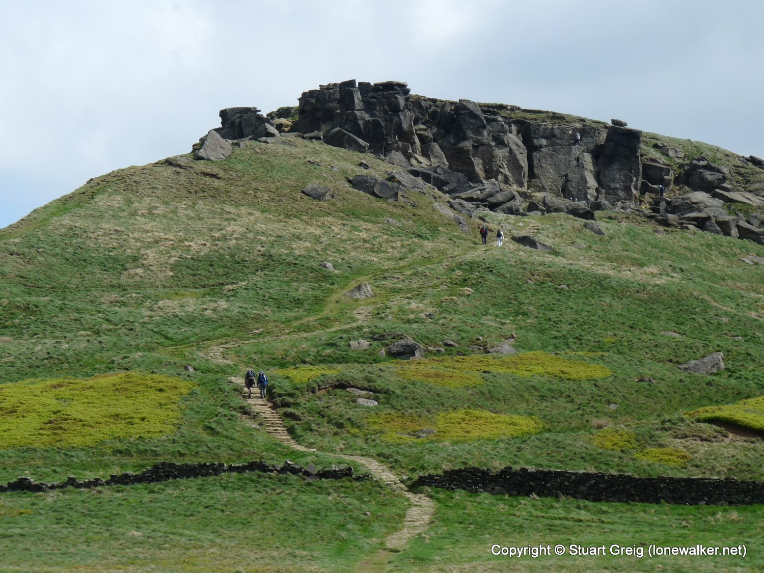
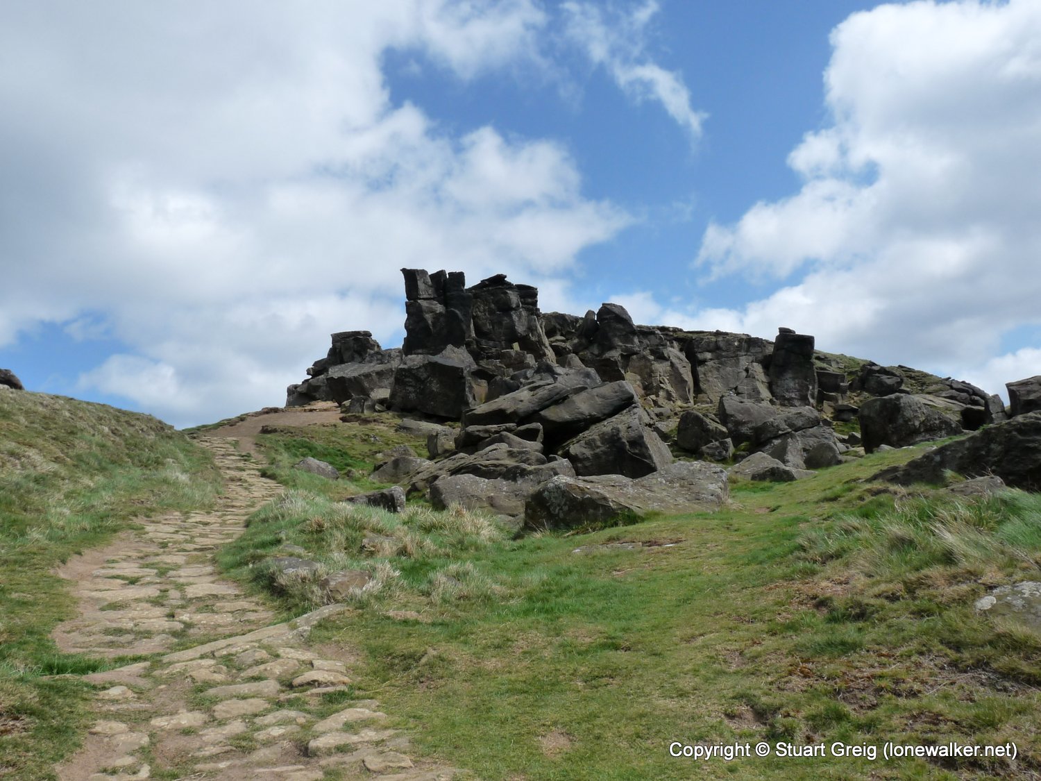
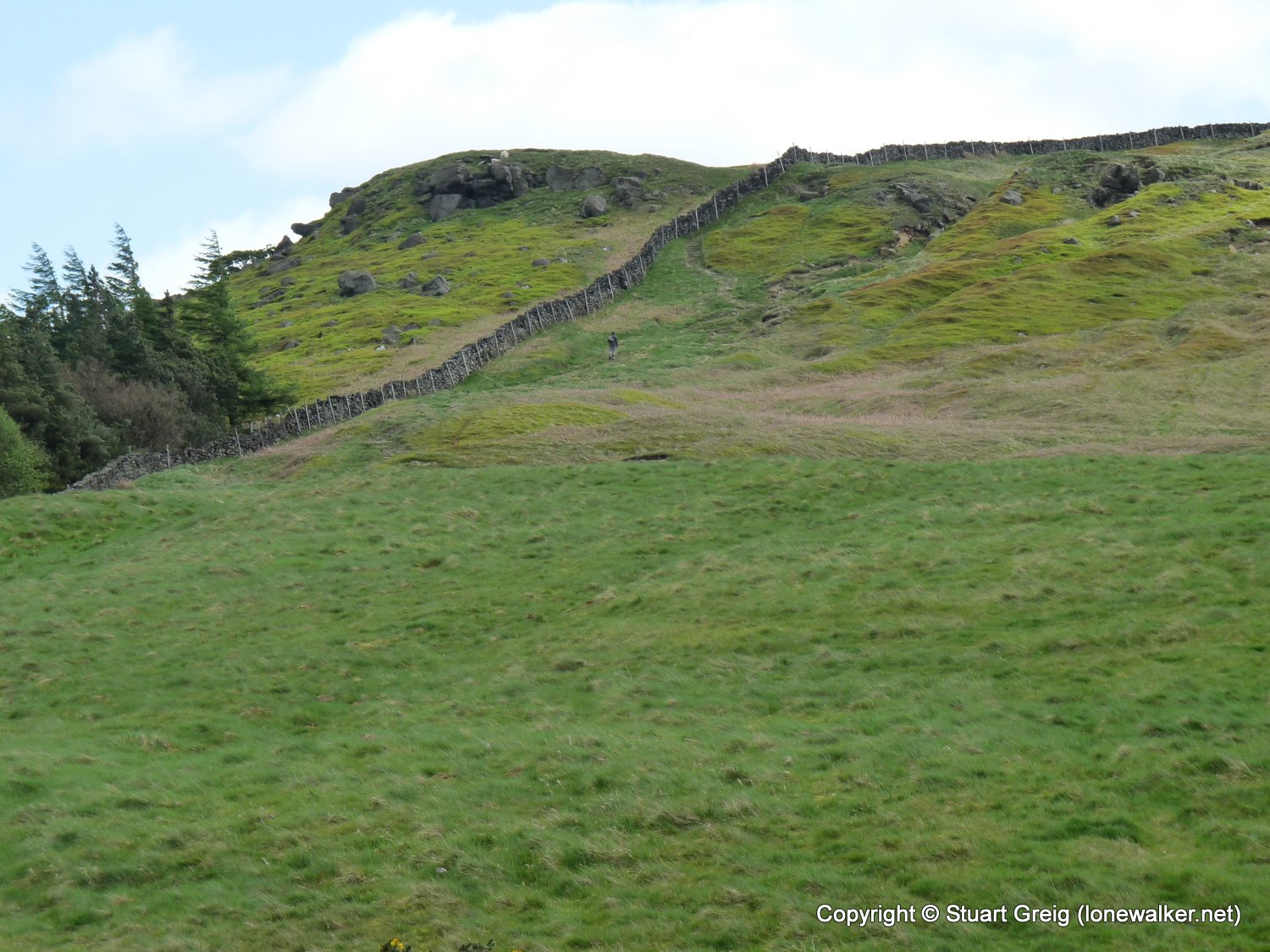
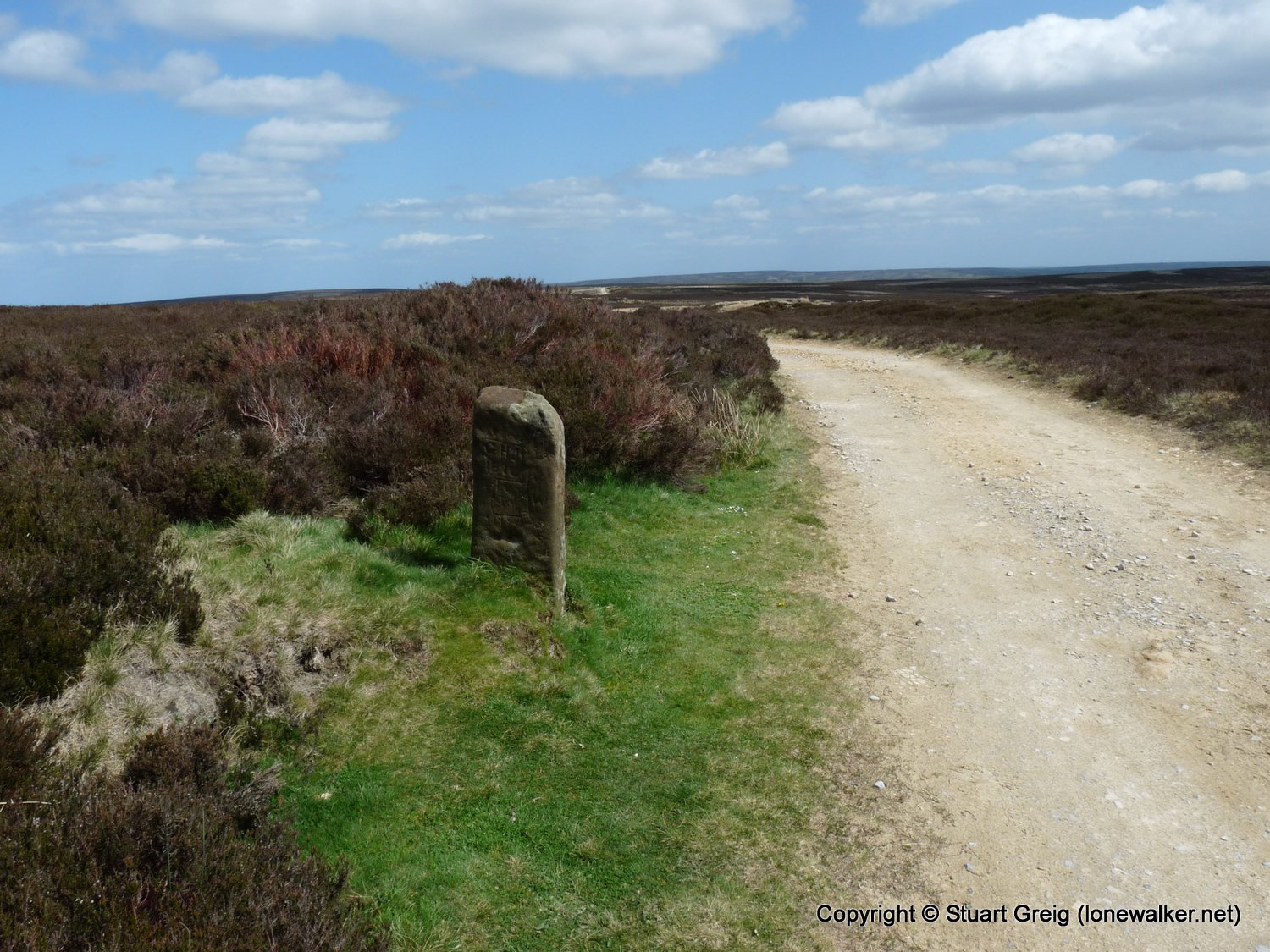
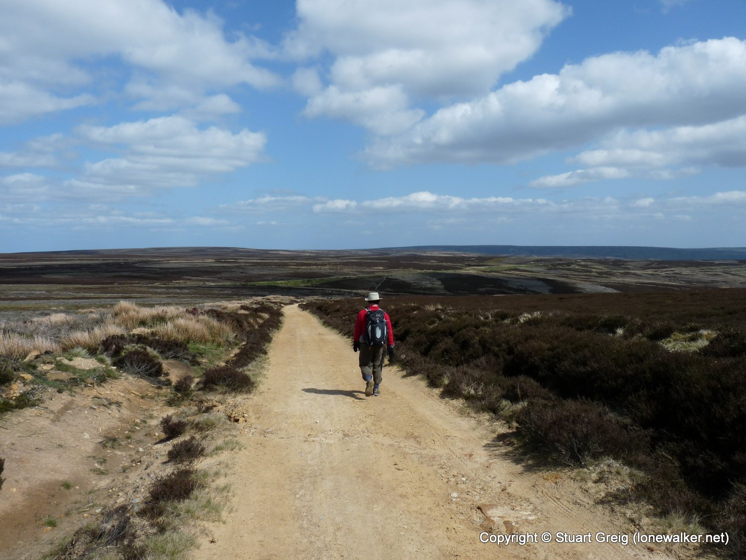
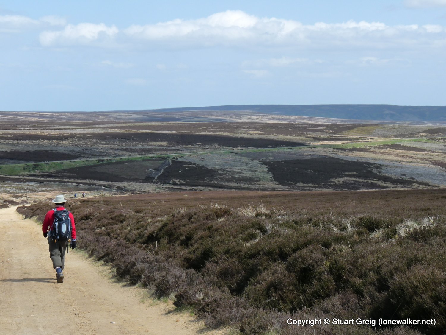
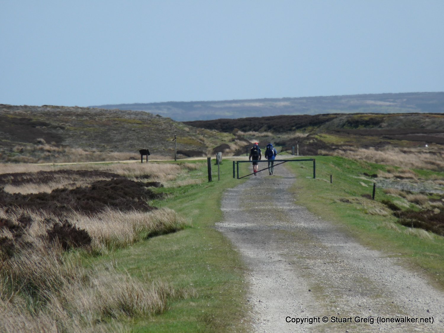
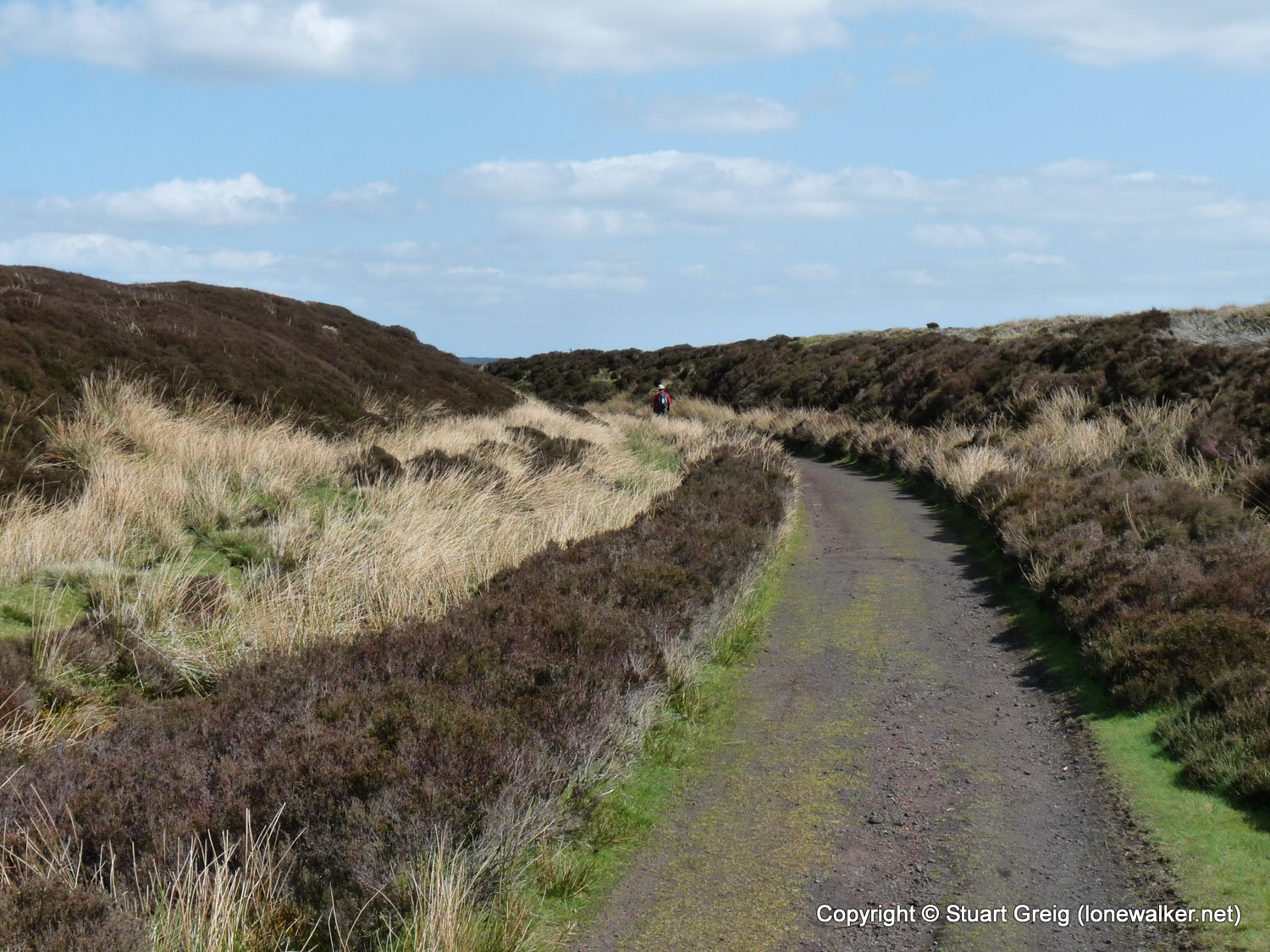
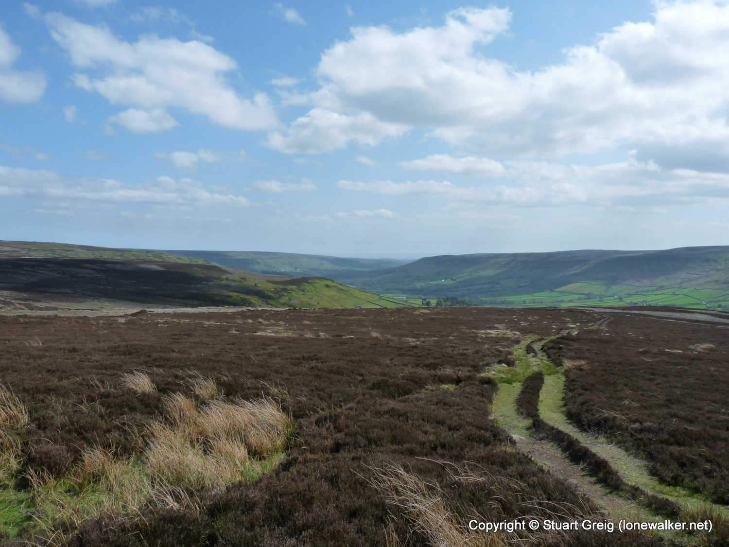
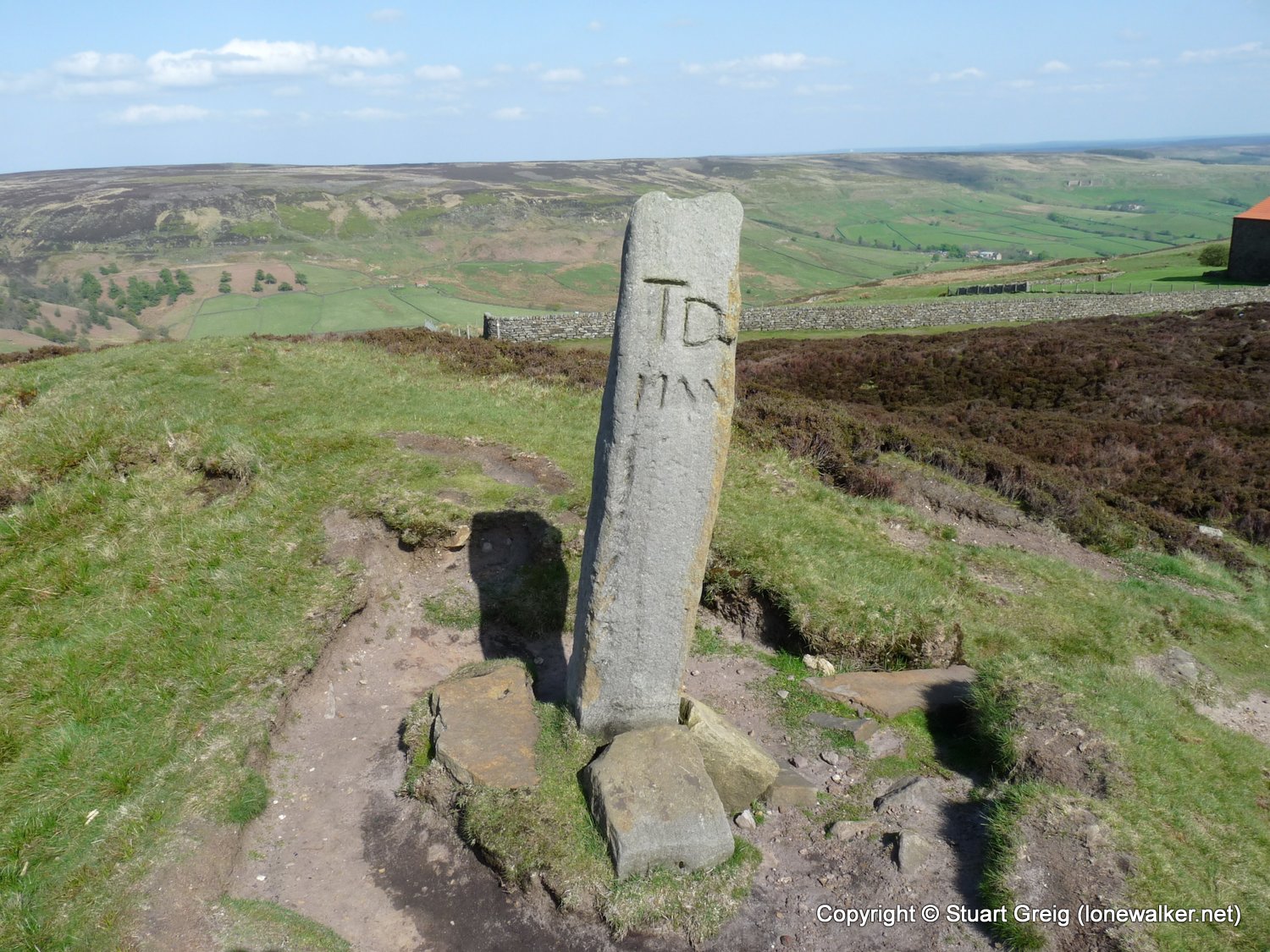
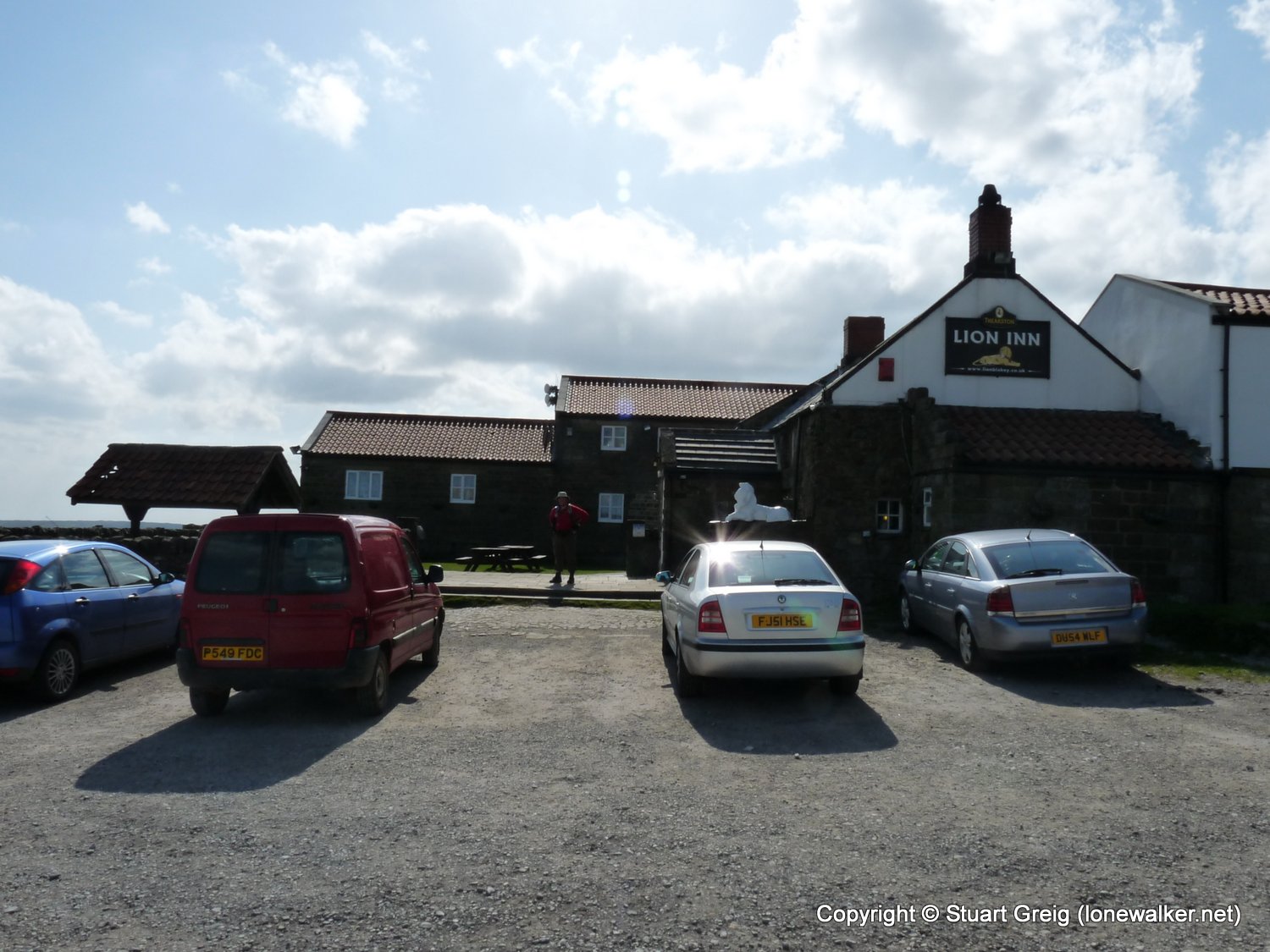
Route Description: Osmotherley, Scarth Wood Moor, Live Moor, Carlton Moor, Lord Stones Cafe, Kirby Bank, Wain Stones, Clay Bank Top, Round Hill, Bloworth Crossing, Farndale Moor, High Blakey Moor, Lion Inn
Parking Grid Ref:
View Parking space in: OS Map or Google Street View
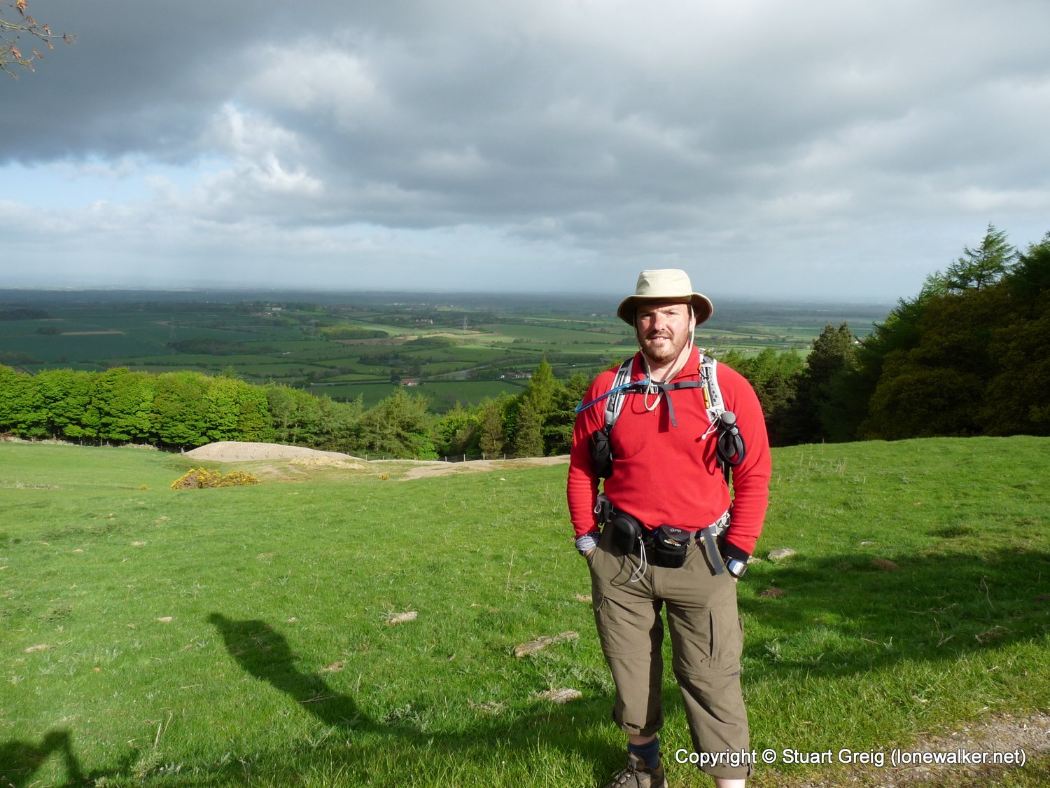
Walking with: Rob Powell
Long Distance Path: Wainwright's Coast to Coast
Link to full Walk Report: https://lonewalker.net/coast-to-coast-2009-day-9/
Download GPX file for this walk:
If your browser opens the file directly, right click and "Save As.."
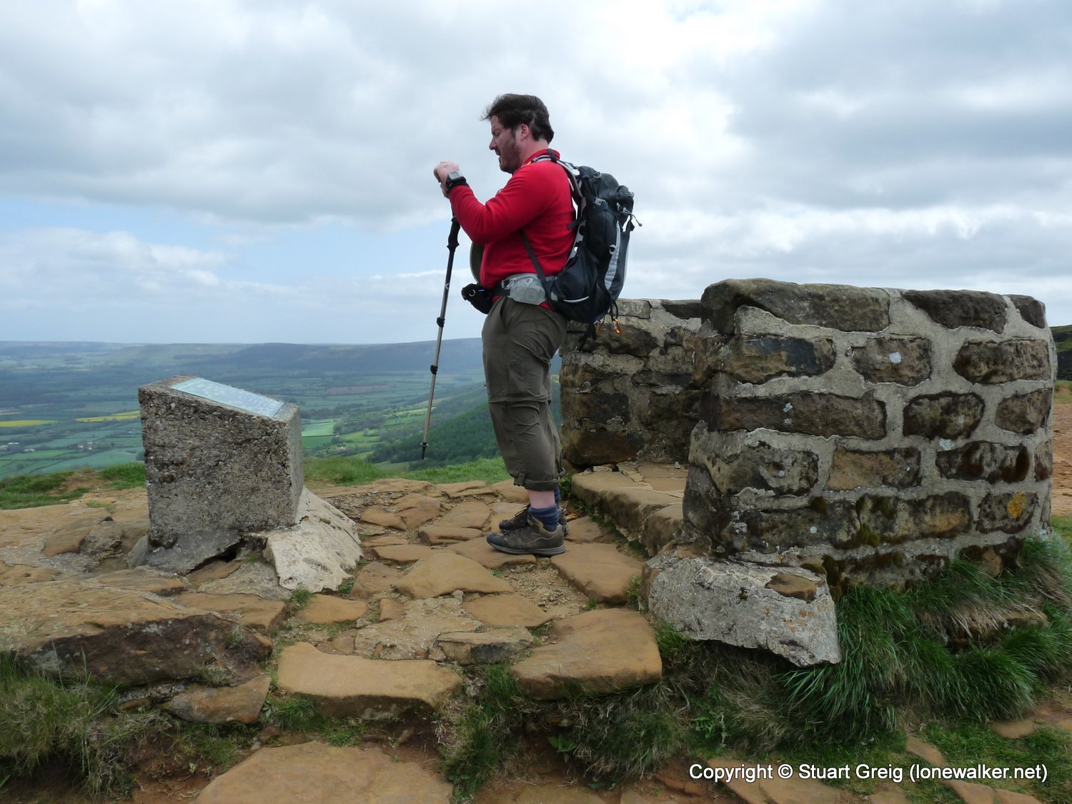
2830 - Urra Moor - Round Hill (1490 ft)
5340 - Carlton Moor (1339 ft)
16871 - Beacon Hill (981 ft)
7749 - Cold Moor [Broughton Bank] (1319 ft)
7750 - White Hill [Hasty Bank] (1306 ft)
TP0886 - Arncliffe Wood (Good condition)
TP6927 - Whorlton Moor (Slightly damaged condition)
Click any image to open the full screen photo gallery


Walk Name: Richmond to Osmotherley
Date: 2009-05-06
Distance: 22.5 mls, 36.21 km
Height Gain: 1200 ft, 365.8 m
Walk Name: Blakey Ridge to Littlebeck
Date: 2009-05-08
Distance: 17.5 mls, 28.16 km
Height Gain: 1600 ft, 487.7 m