
Date: 2009-09-26
Start: Surrender Bridge Finish: Surrender Bridge
Distance: 11.0 mls, 17.70 km
Height Gain: 1800 ft, 548.6 m
Start Time: 08:16 End Time: 12:52
Duration: 04:36
Ave Speed: 2.4 mph
Region: Yorkshire Dales
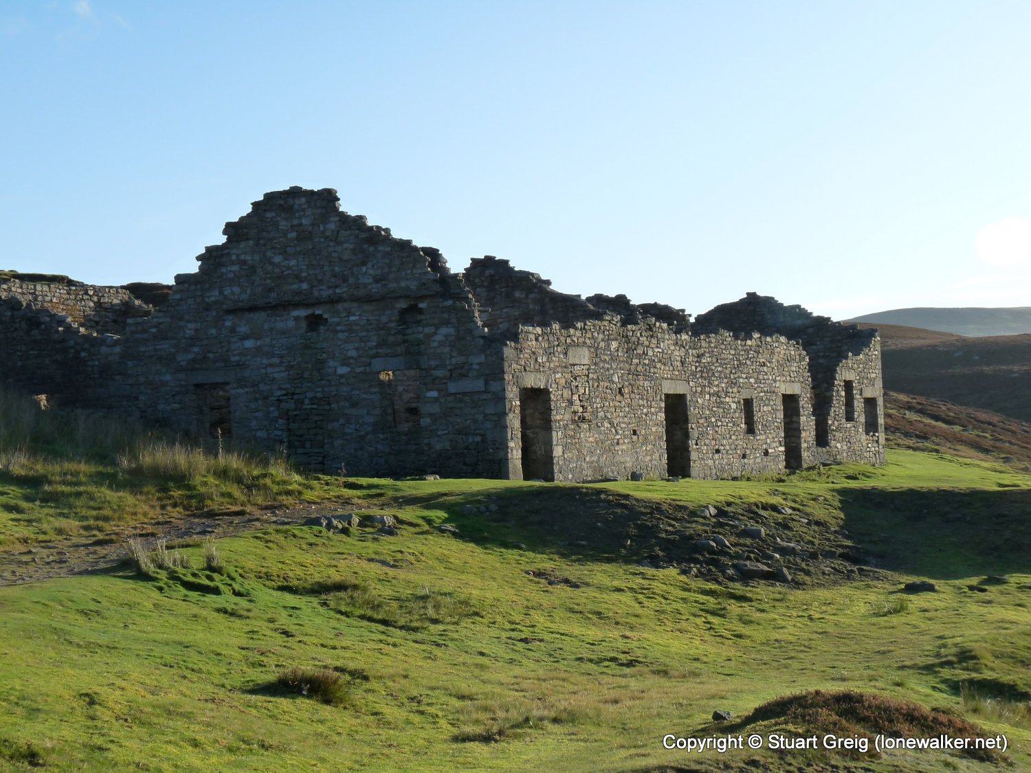
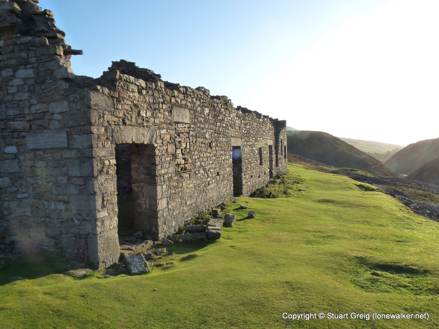
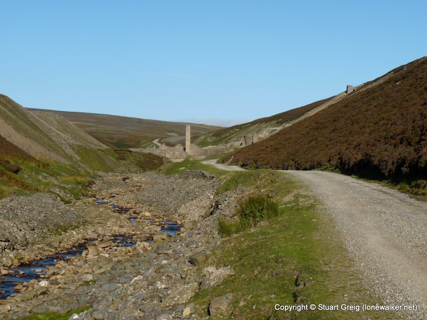
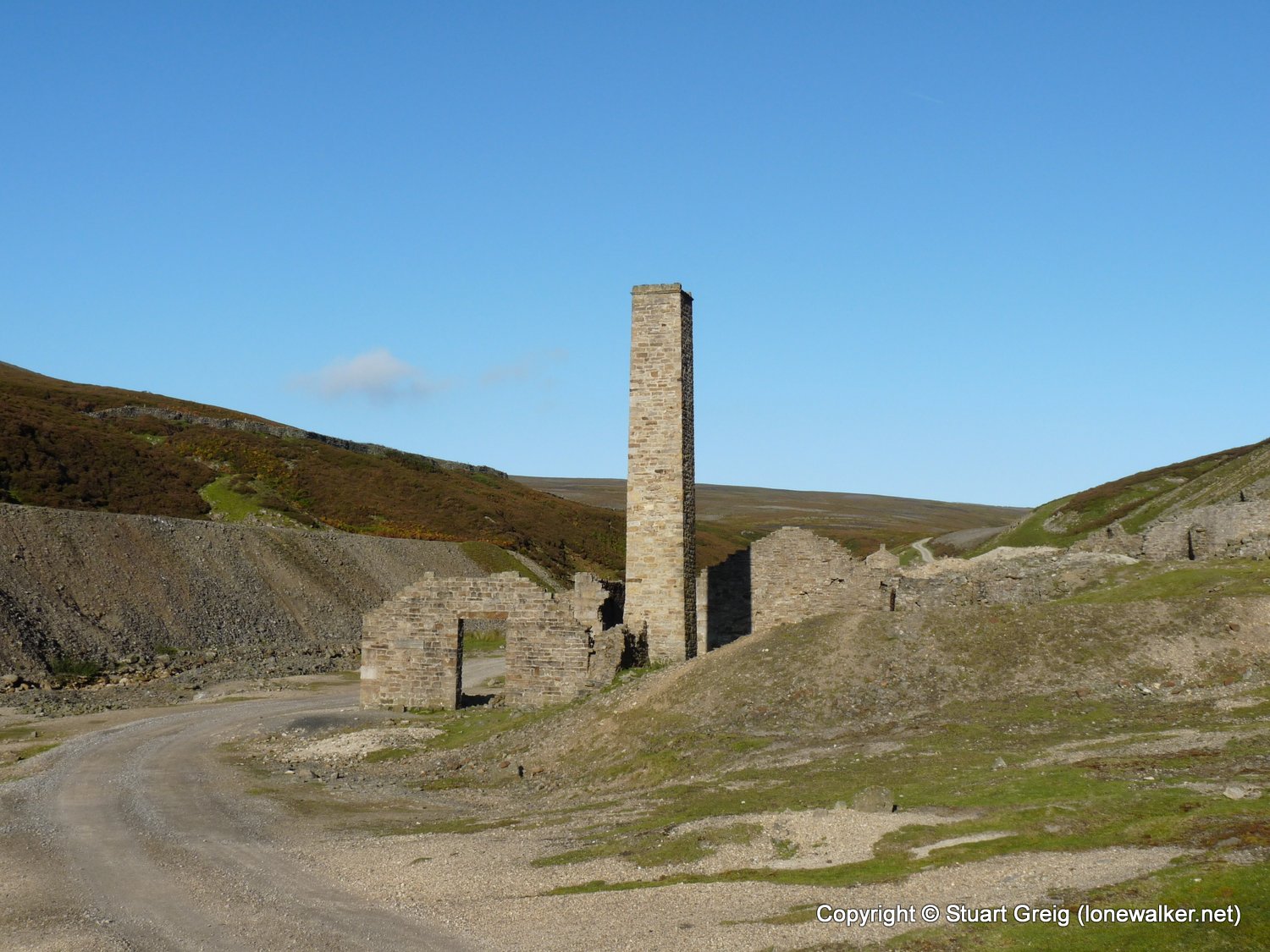
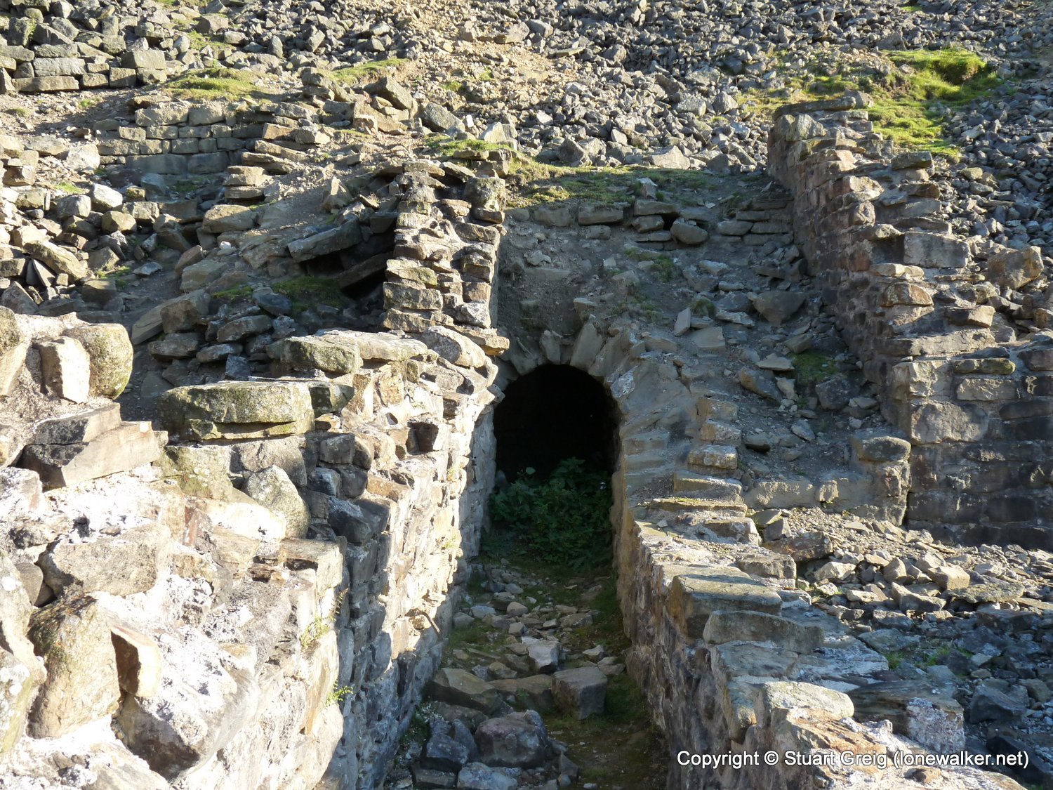
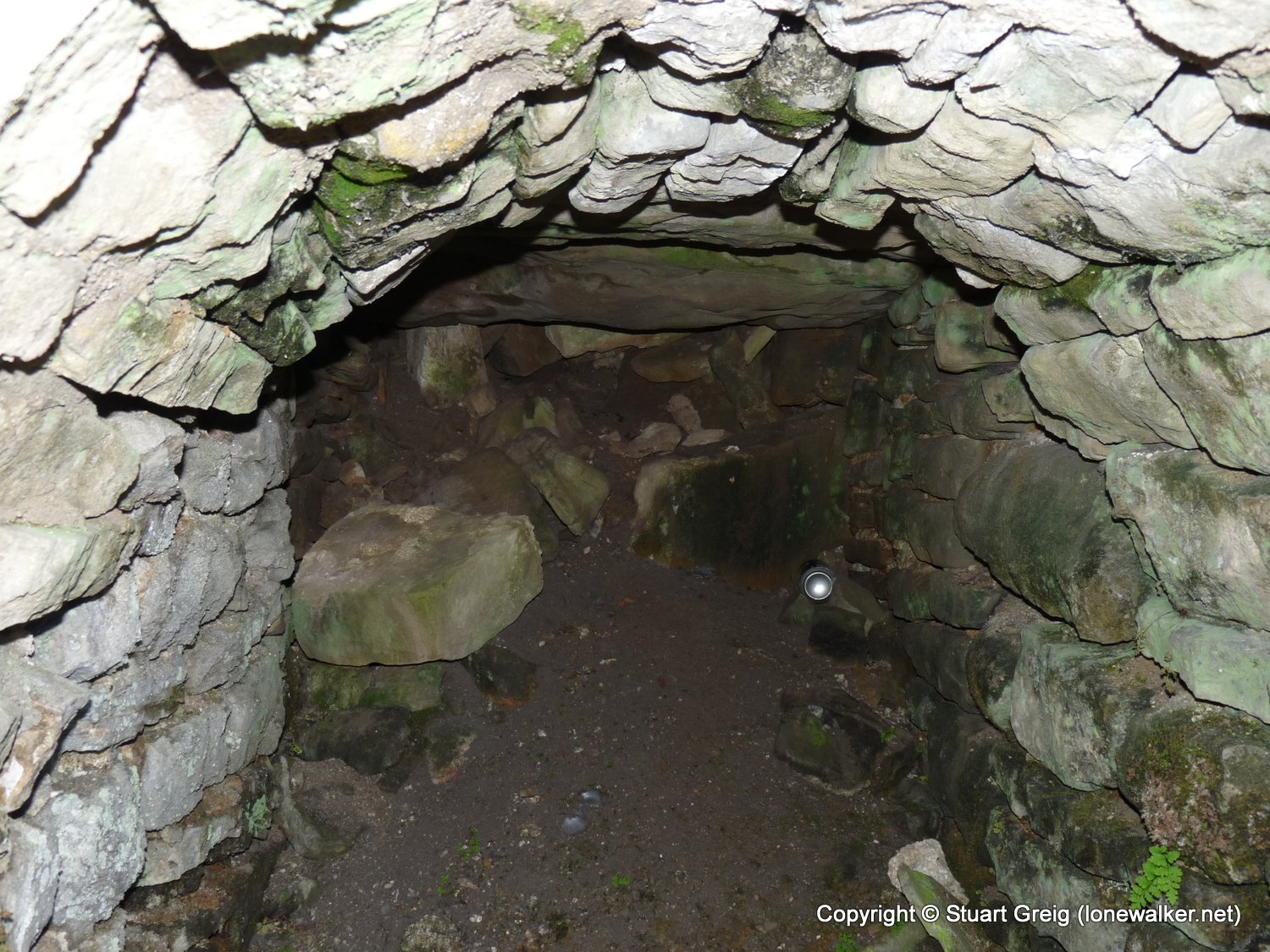
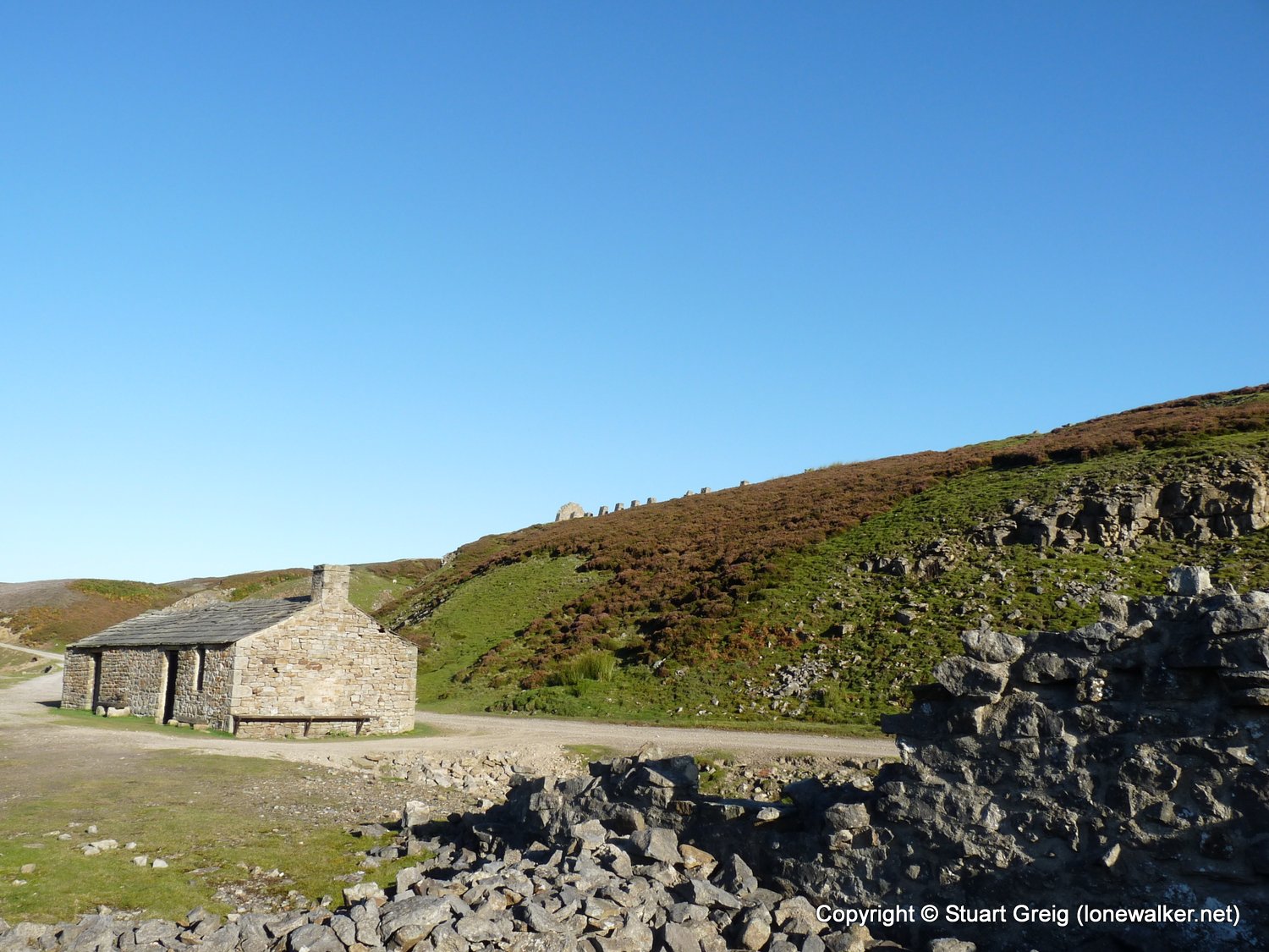
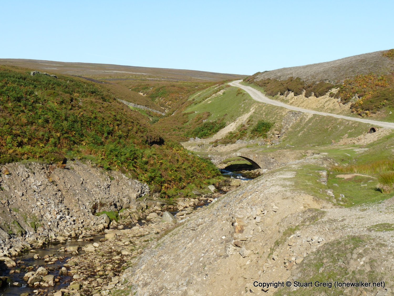
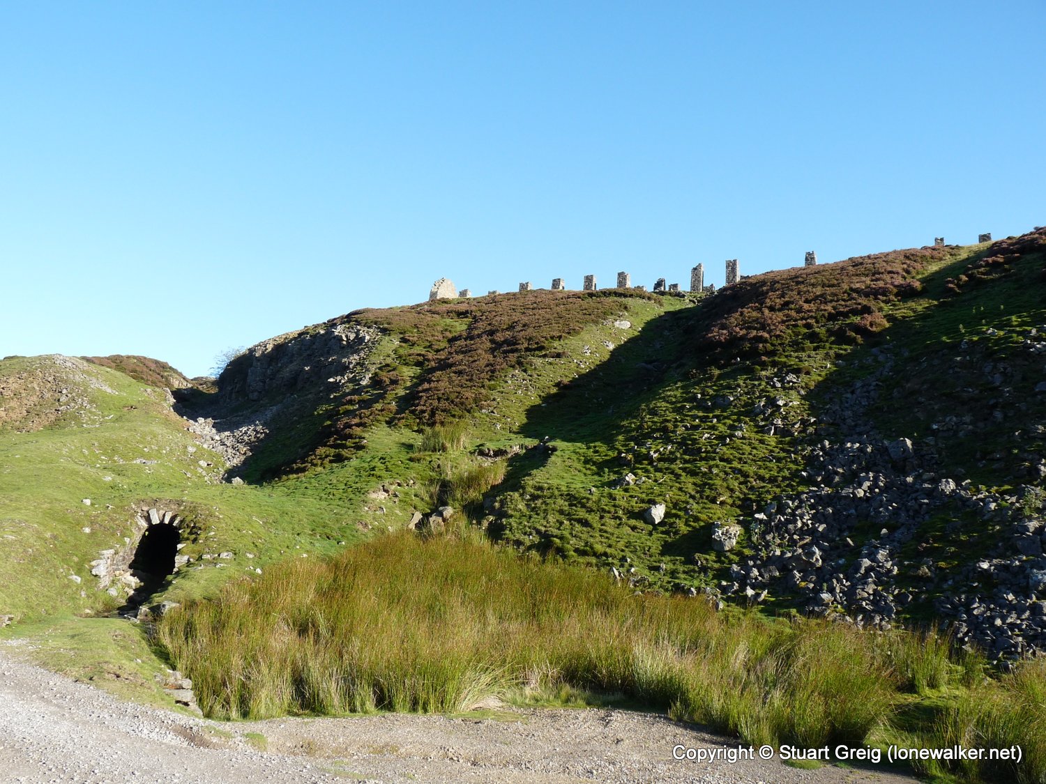
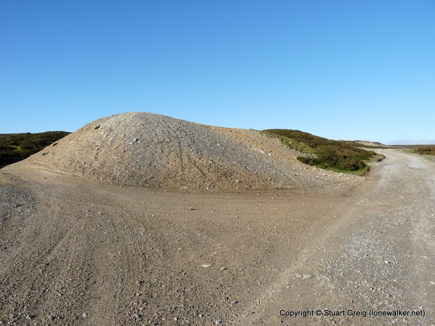
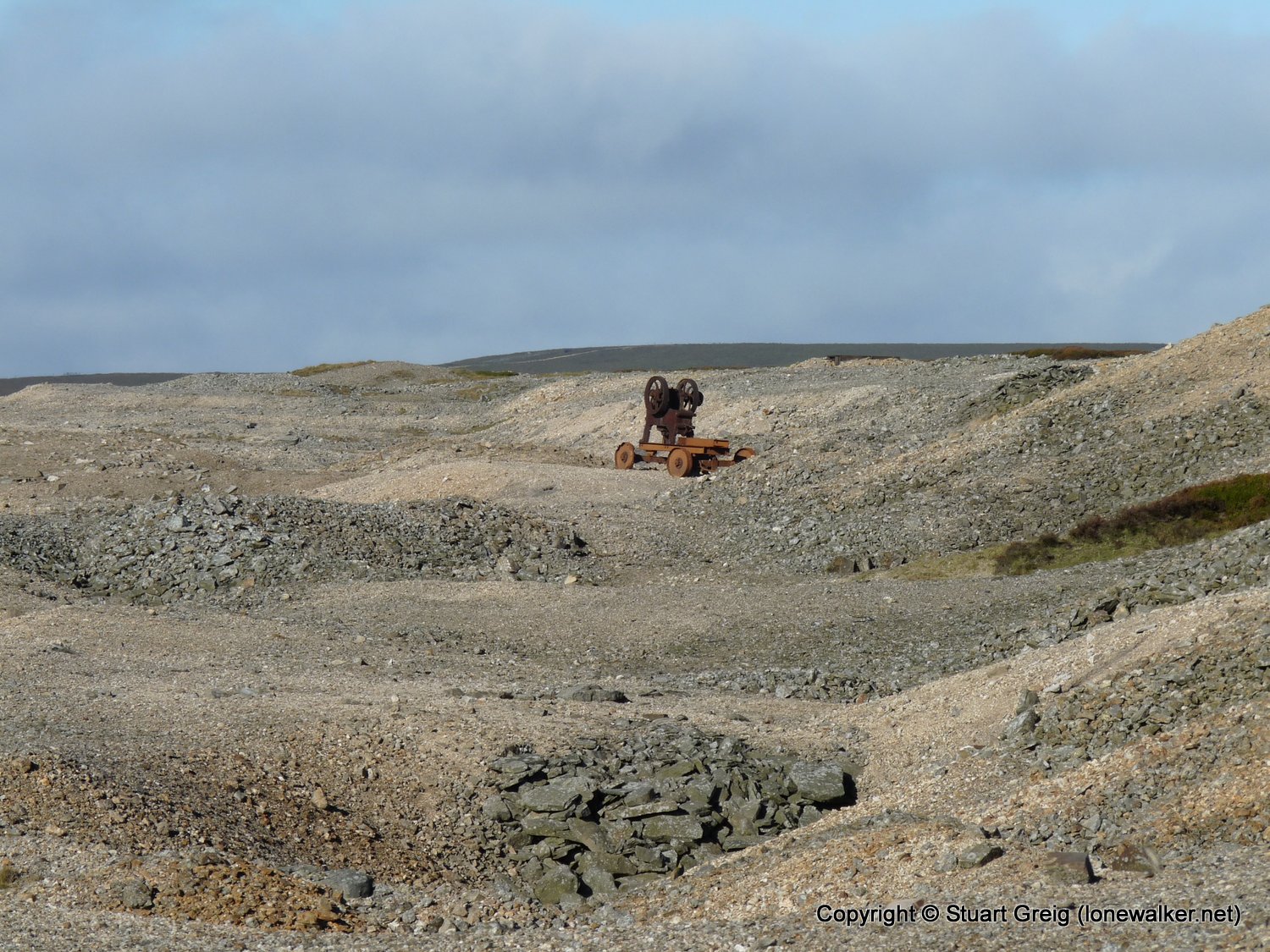
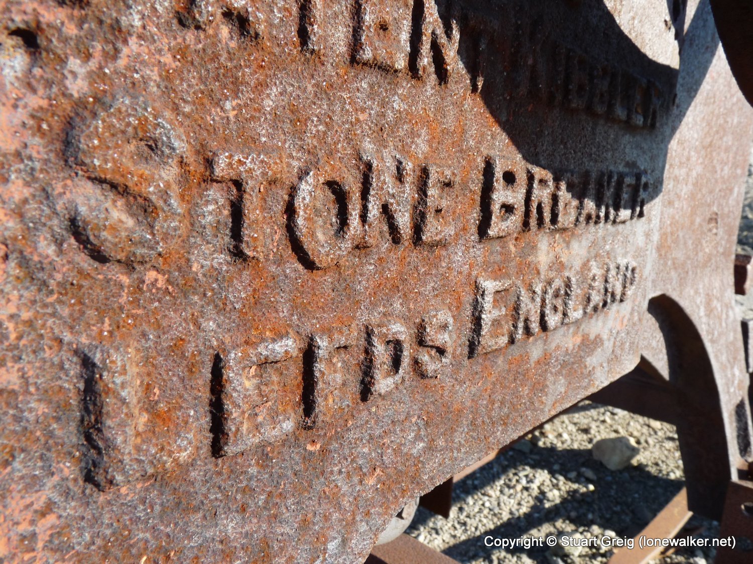
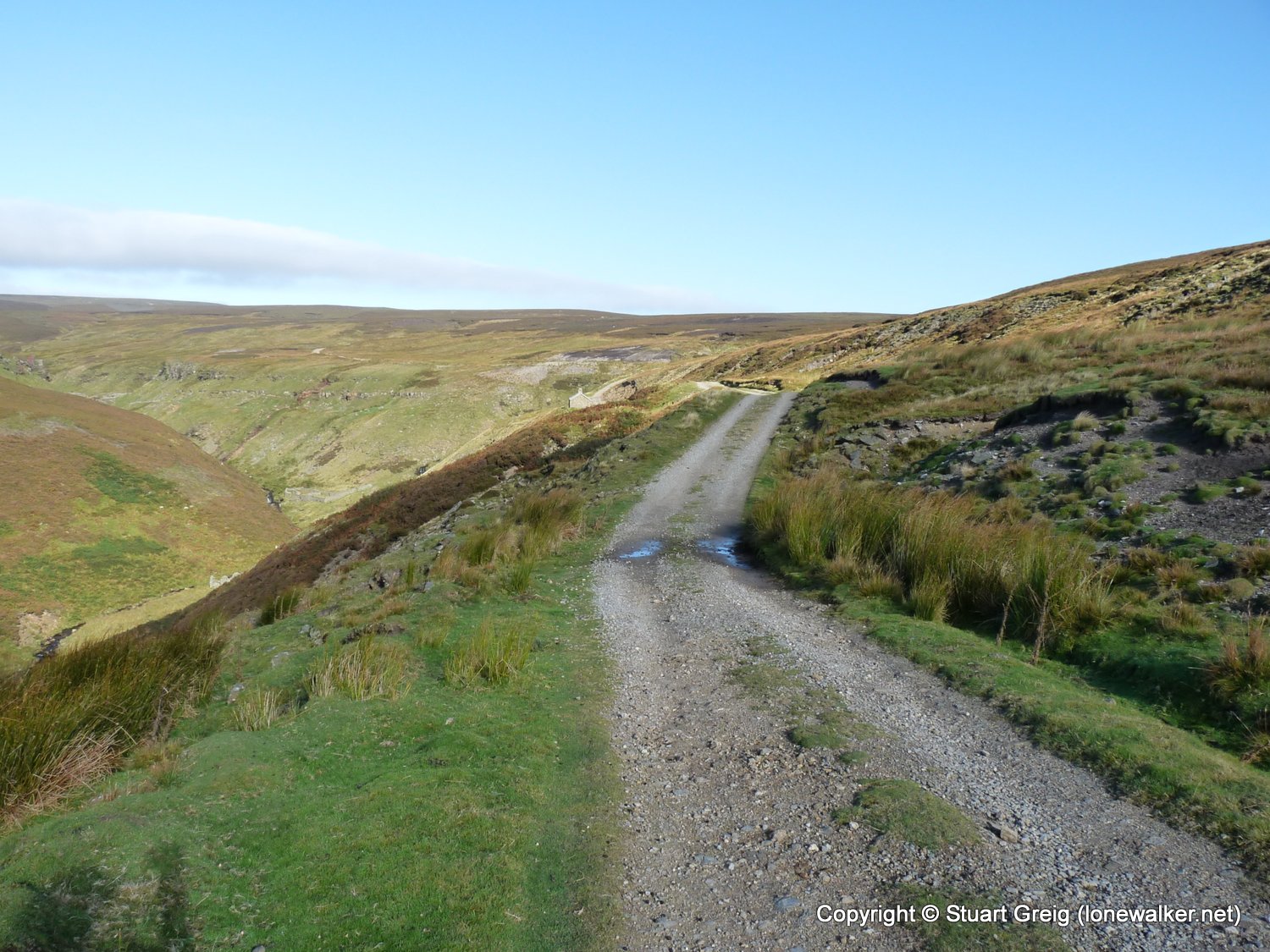
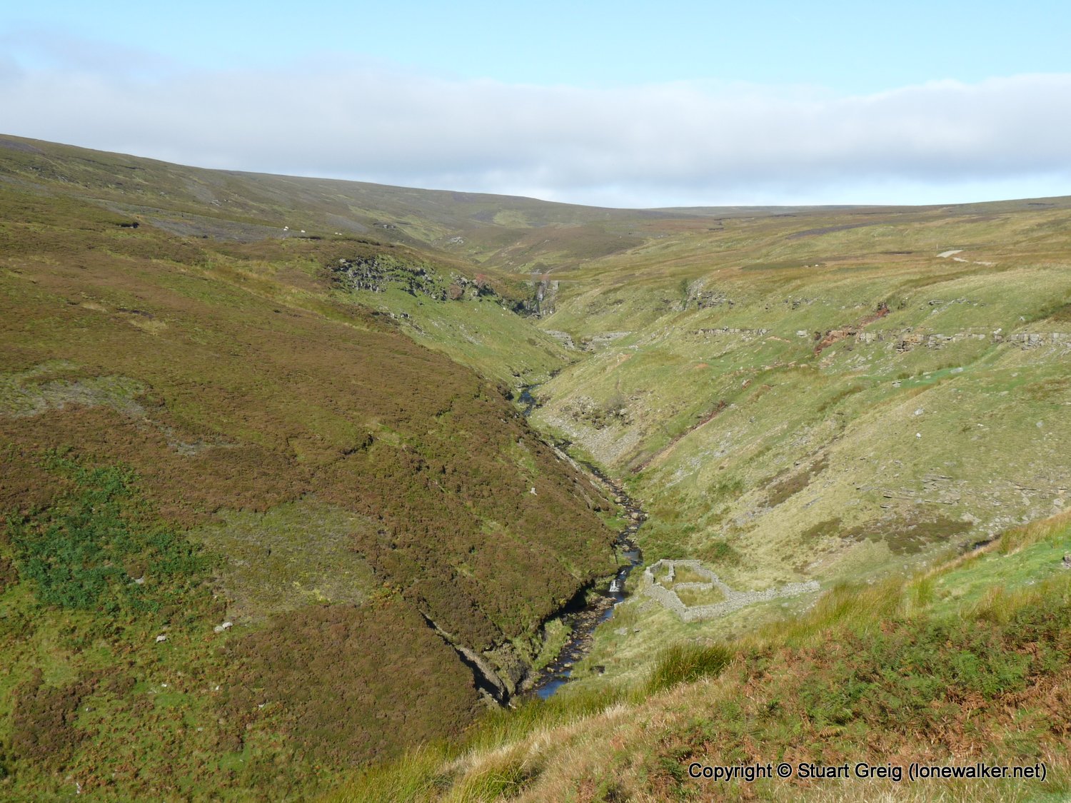
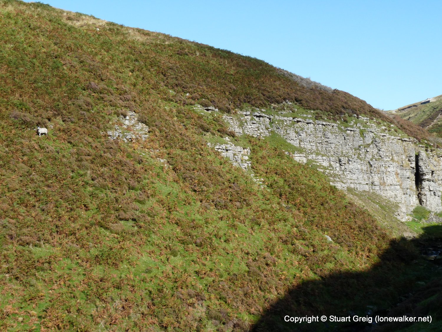
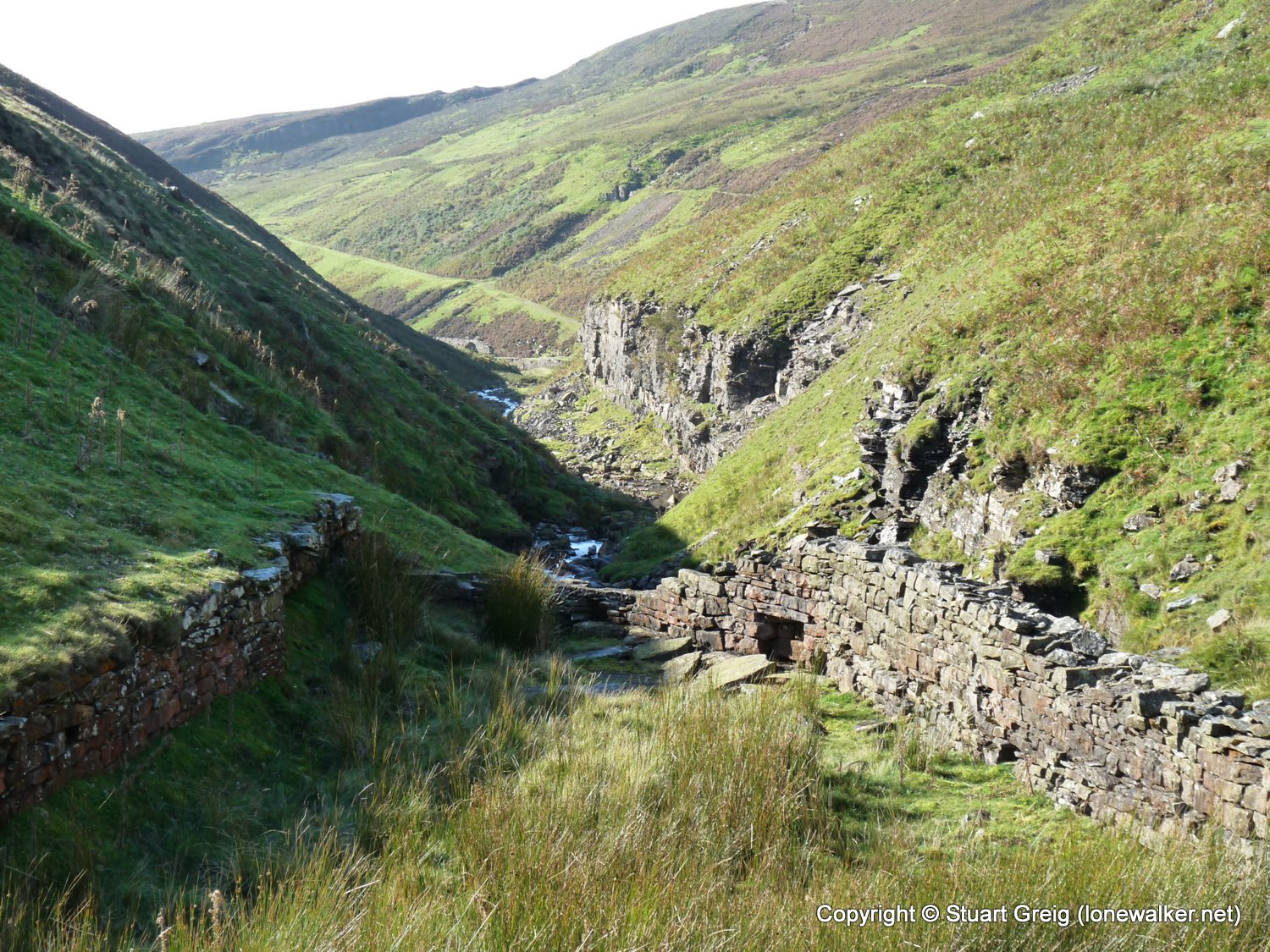
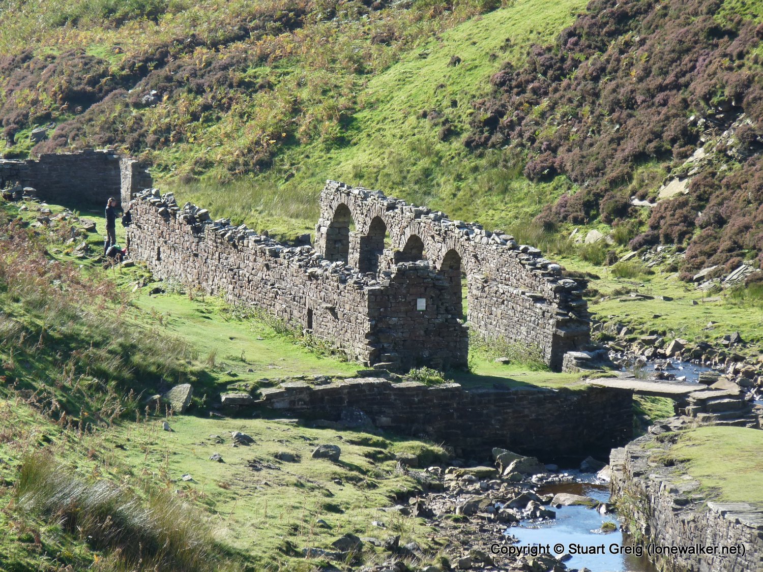
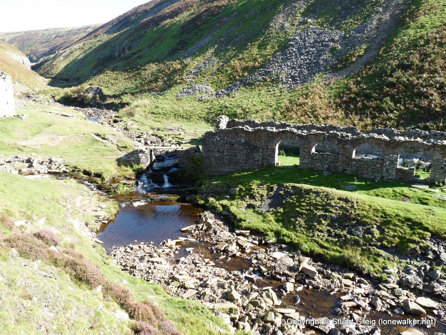
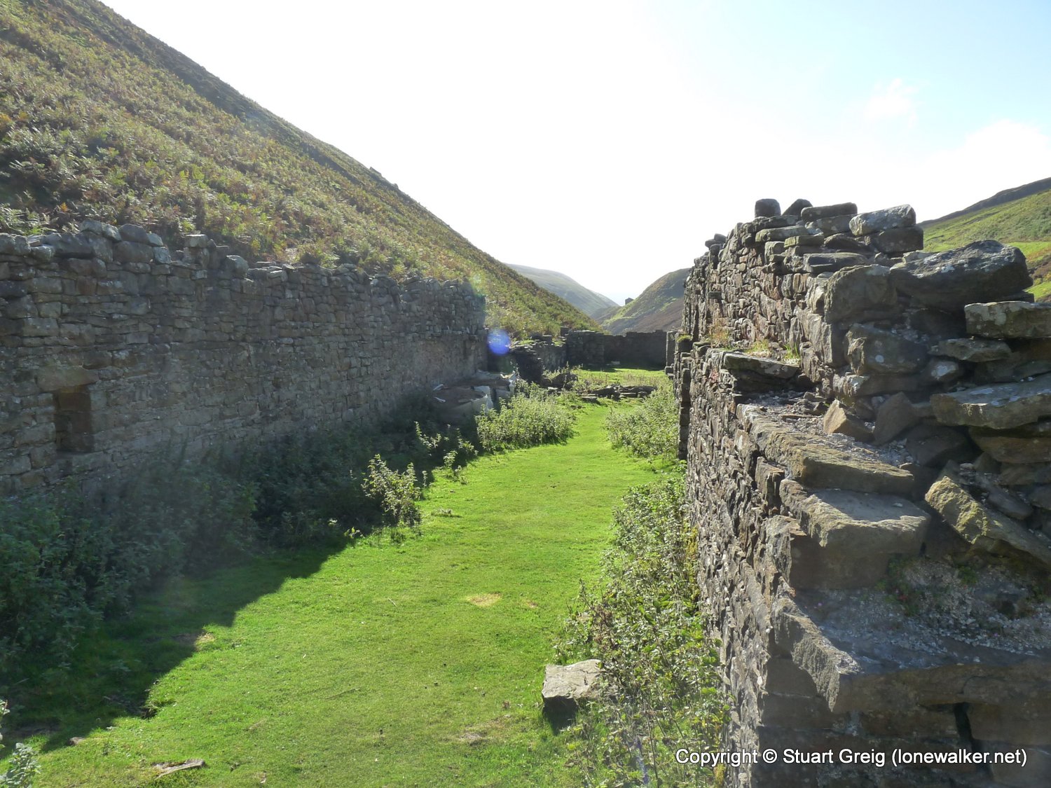
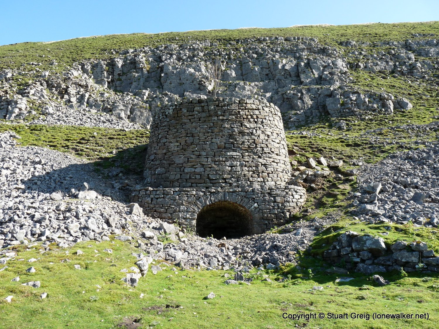
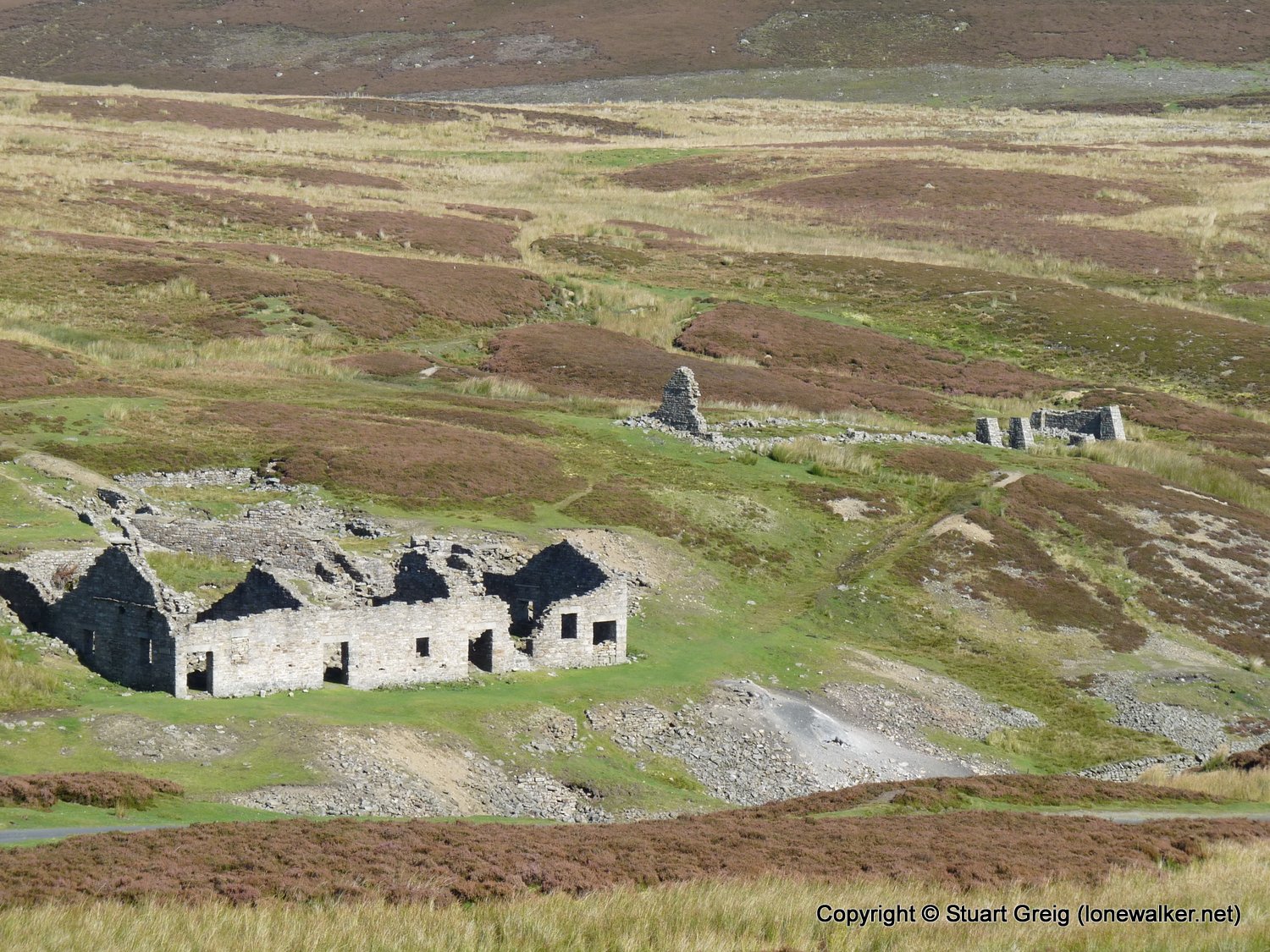
Route Description: Surrender Bridge, Old Gang, Level House Bridge, Blakethwaite Lead Mines, Winterings Edge, Low Row Pasture, Blades, Surrender Bridge
Parking Grid Ref: SD 98895 99840
View Parking space in: OS Map or Google Street View
Walking with: Alone
Long Distance Path:
Click any image to open the full screen photo gallery


Walk Name: Arenig Fawr to Llanuwchllyn
Date: 2009-09-18
Distance: 7.5 mls, 12.07 km
Height Gain: 2500 ft, 762.0 m
Walk Name: Keld to Blakethwaite Mill
Date: 2009-10-10
Distance: 8.5 mls, 13.68 km
Height Gain: 2400 ft, 731.5 m