
Date: 2009-10-31
Start: Surrender Bridge Finish: Surrender Bridge
Distance: 10.5 mls, 16.90 km
Height Gain: 1300 ft, 396.2 m
Start Time: 08:01 End Time: 12:00
Duration: 03:59
Ave Speed: 2.6 mph
Region: Yorkshire Dales
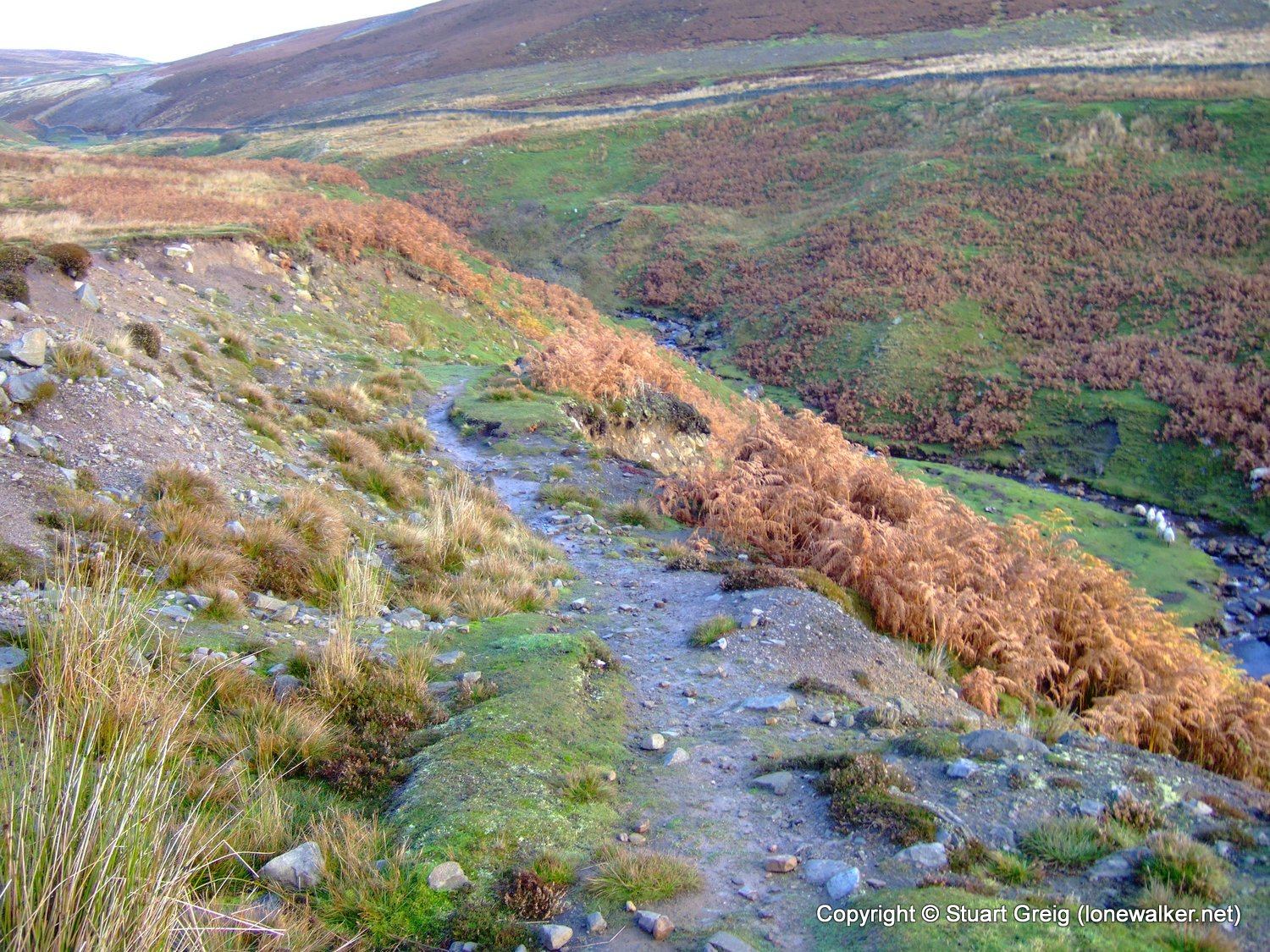
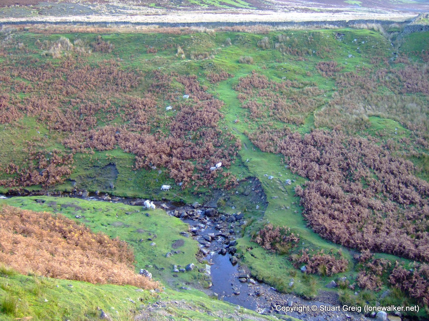
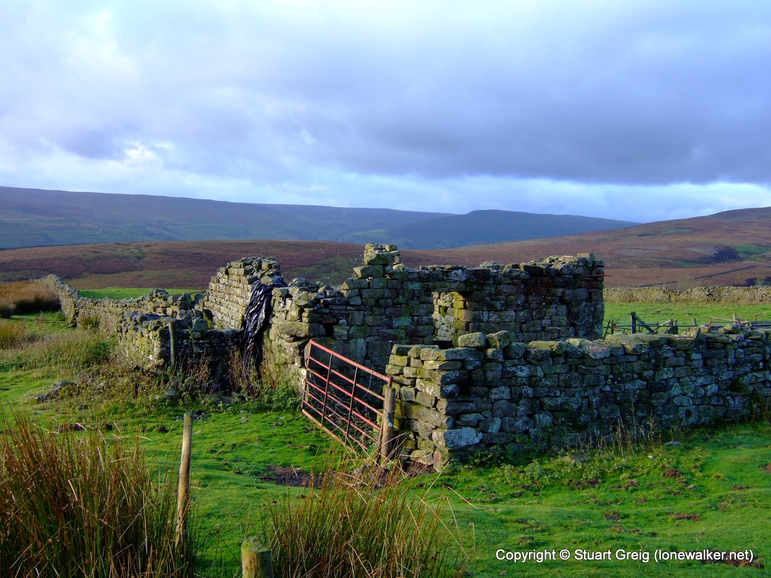
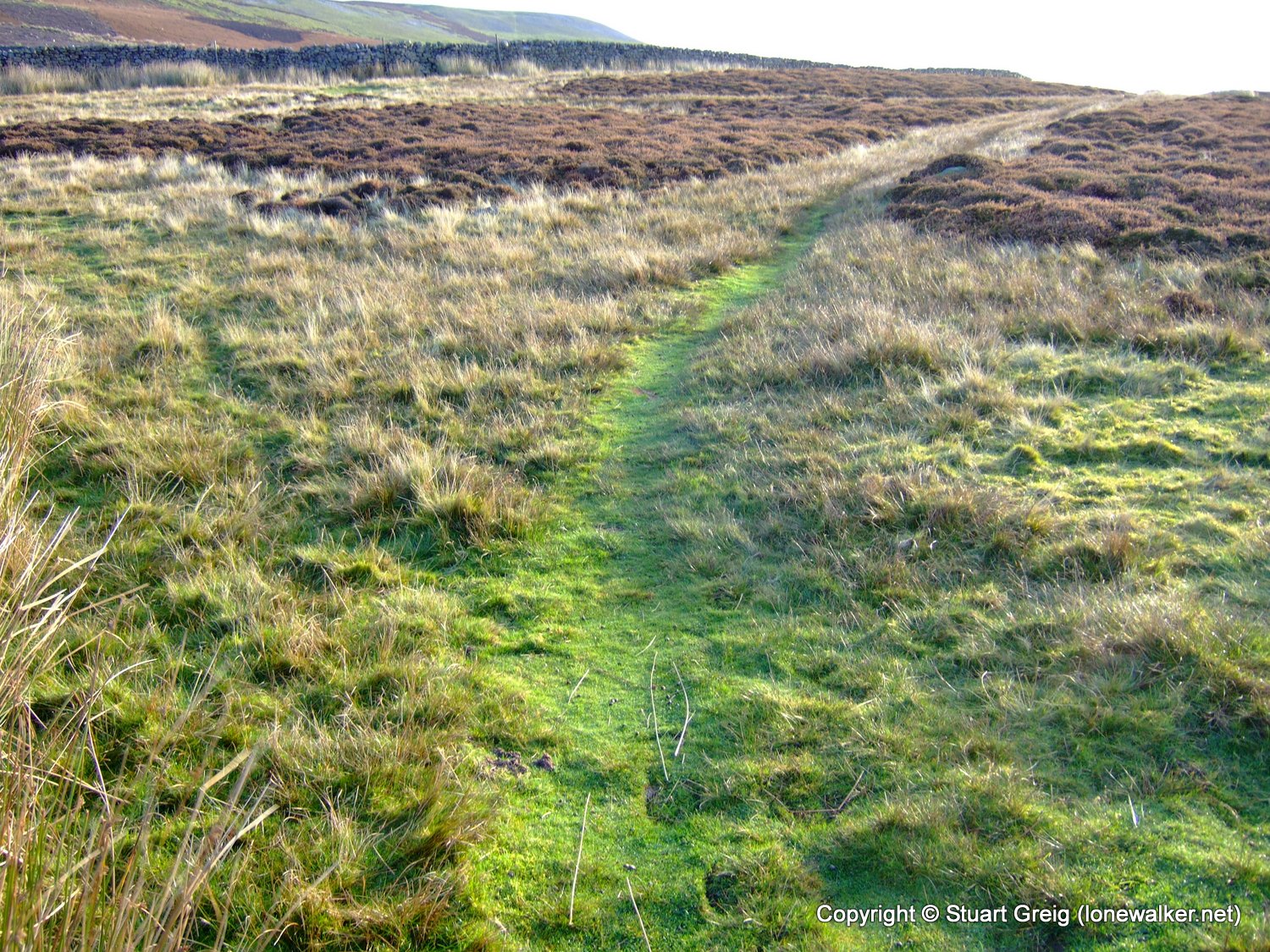
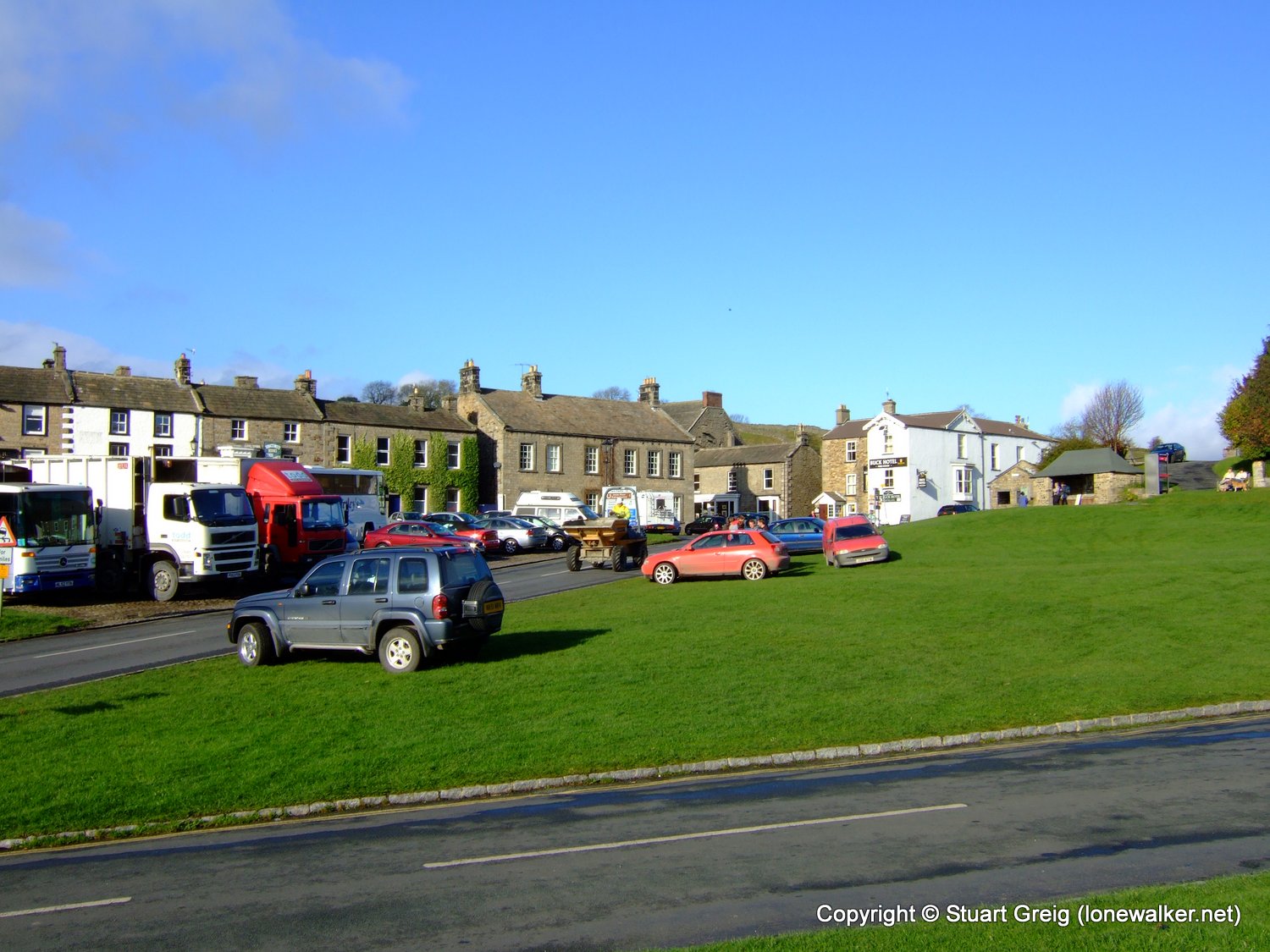
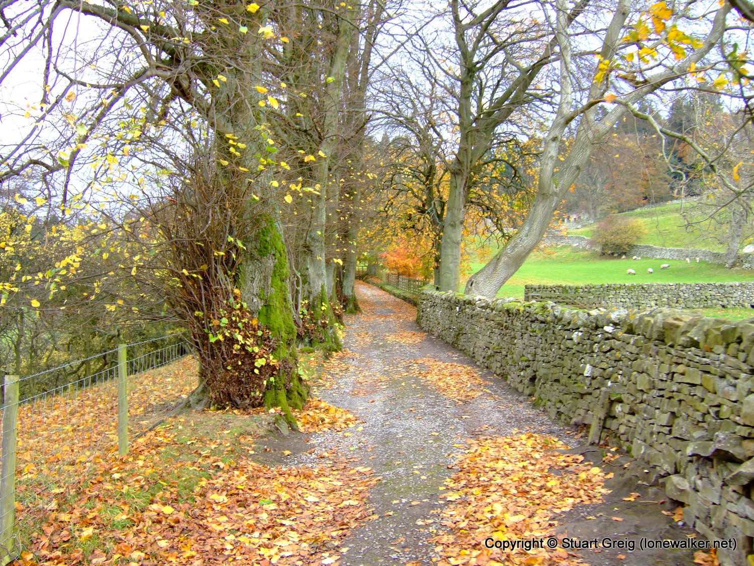
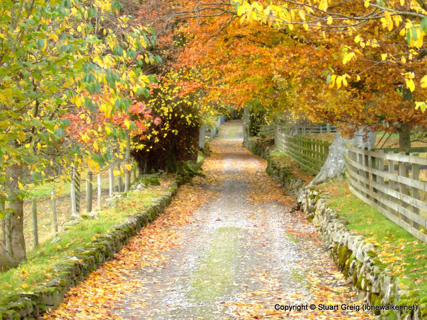
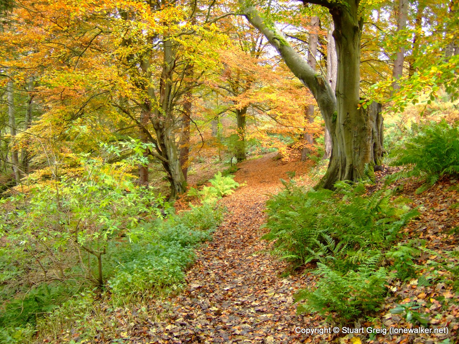
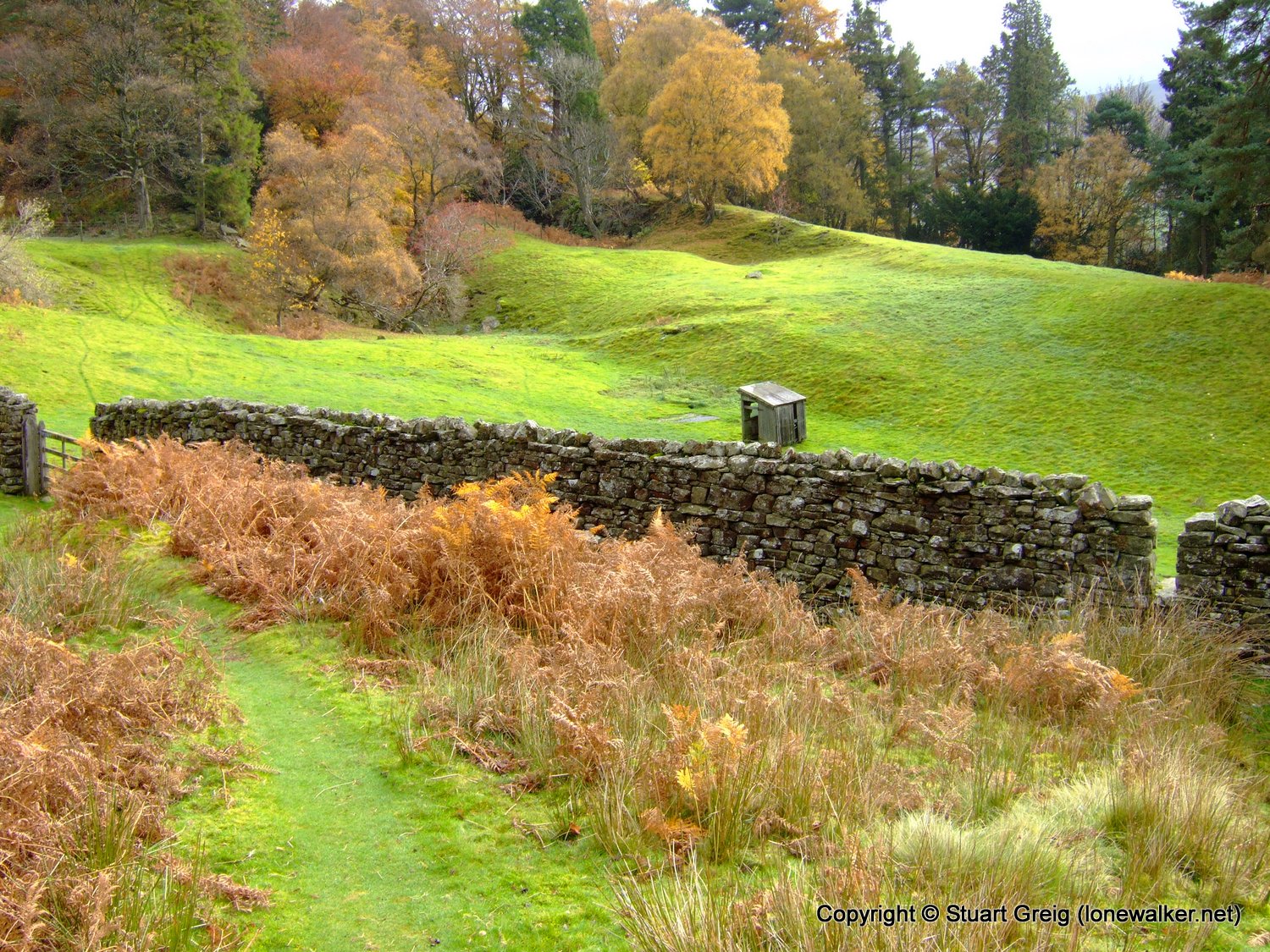
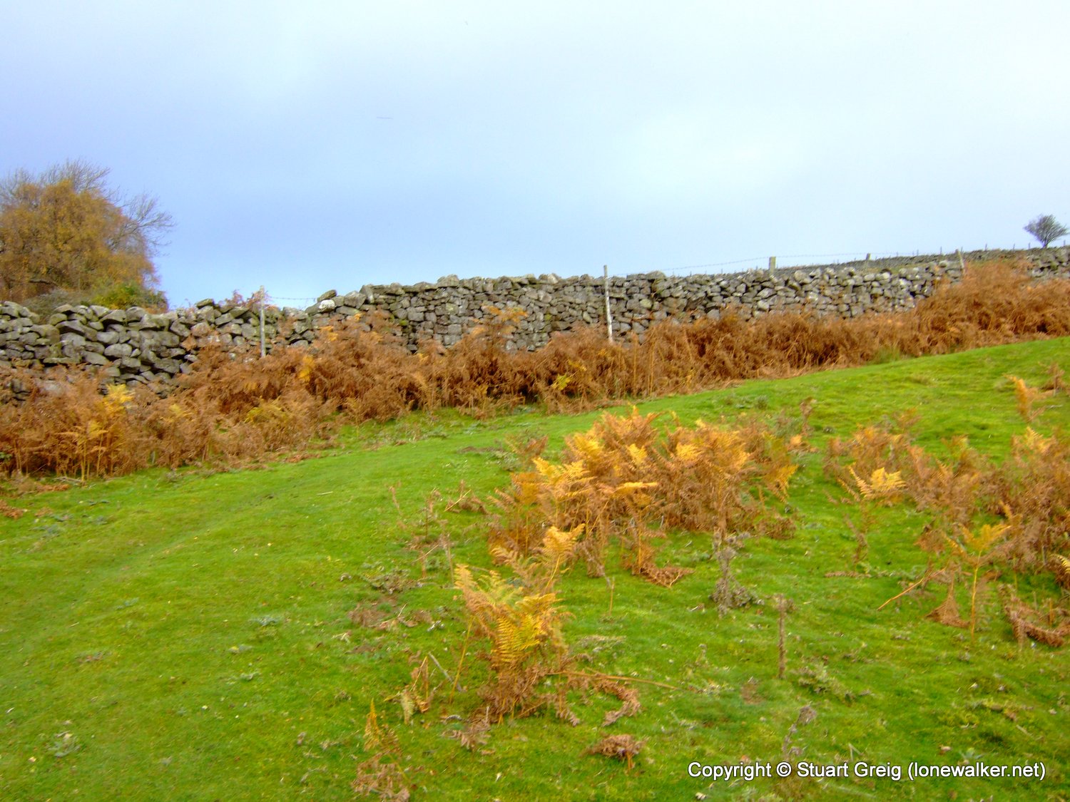
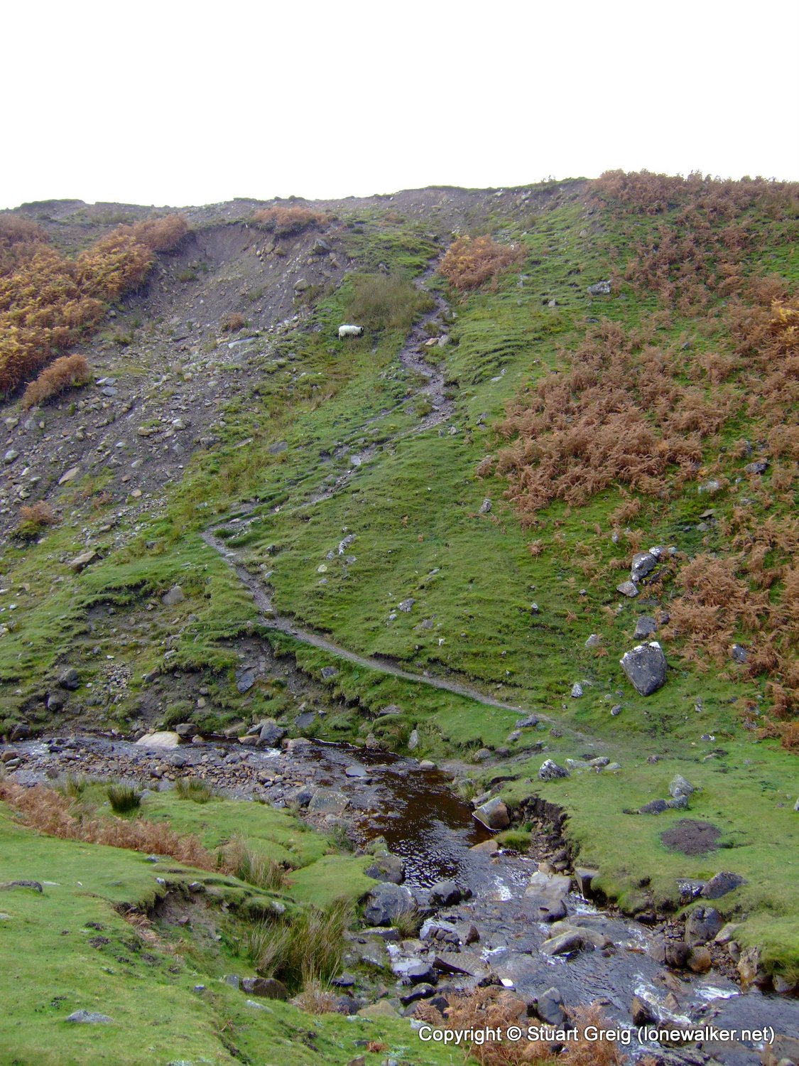
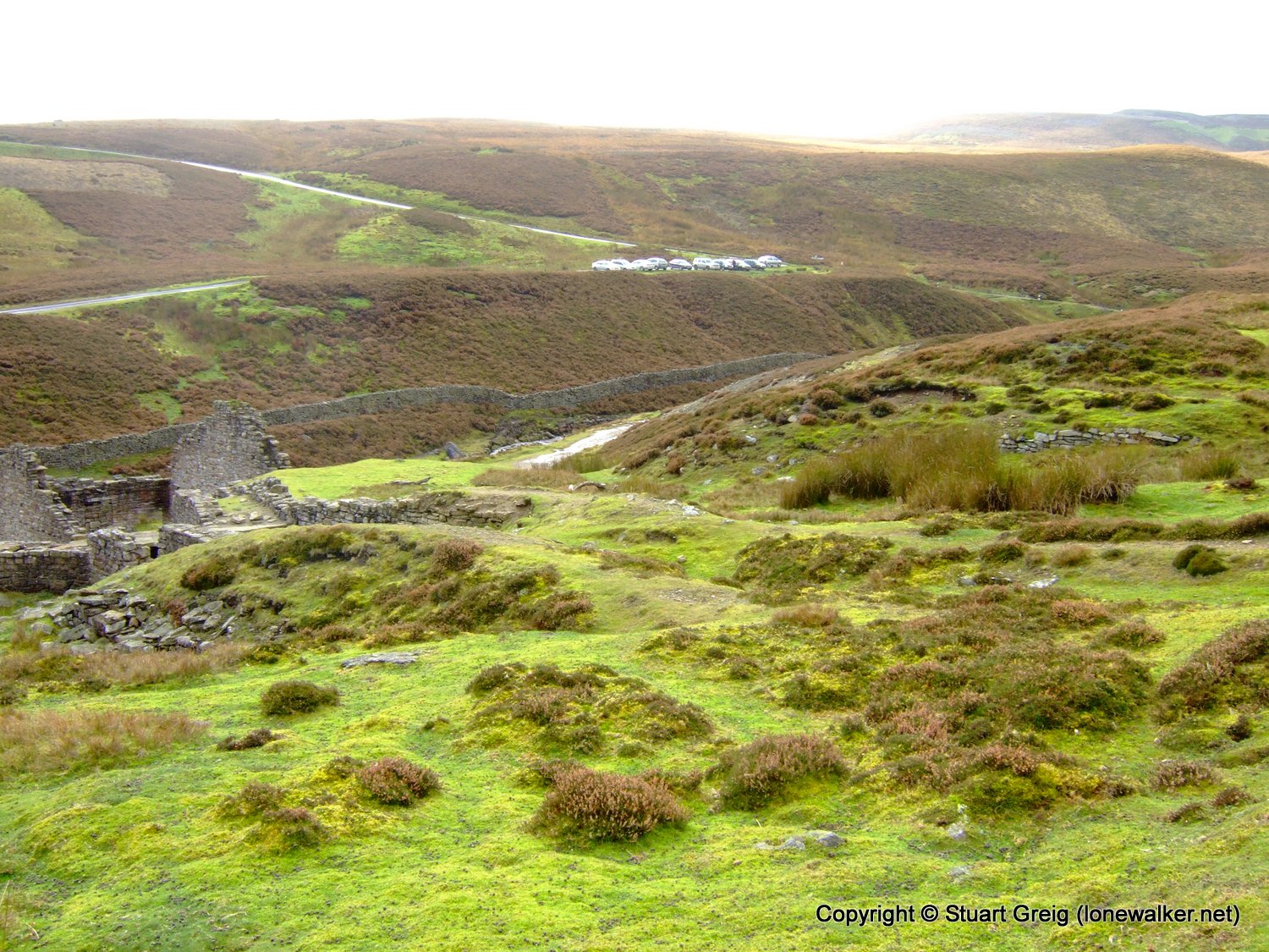
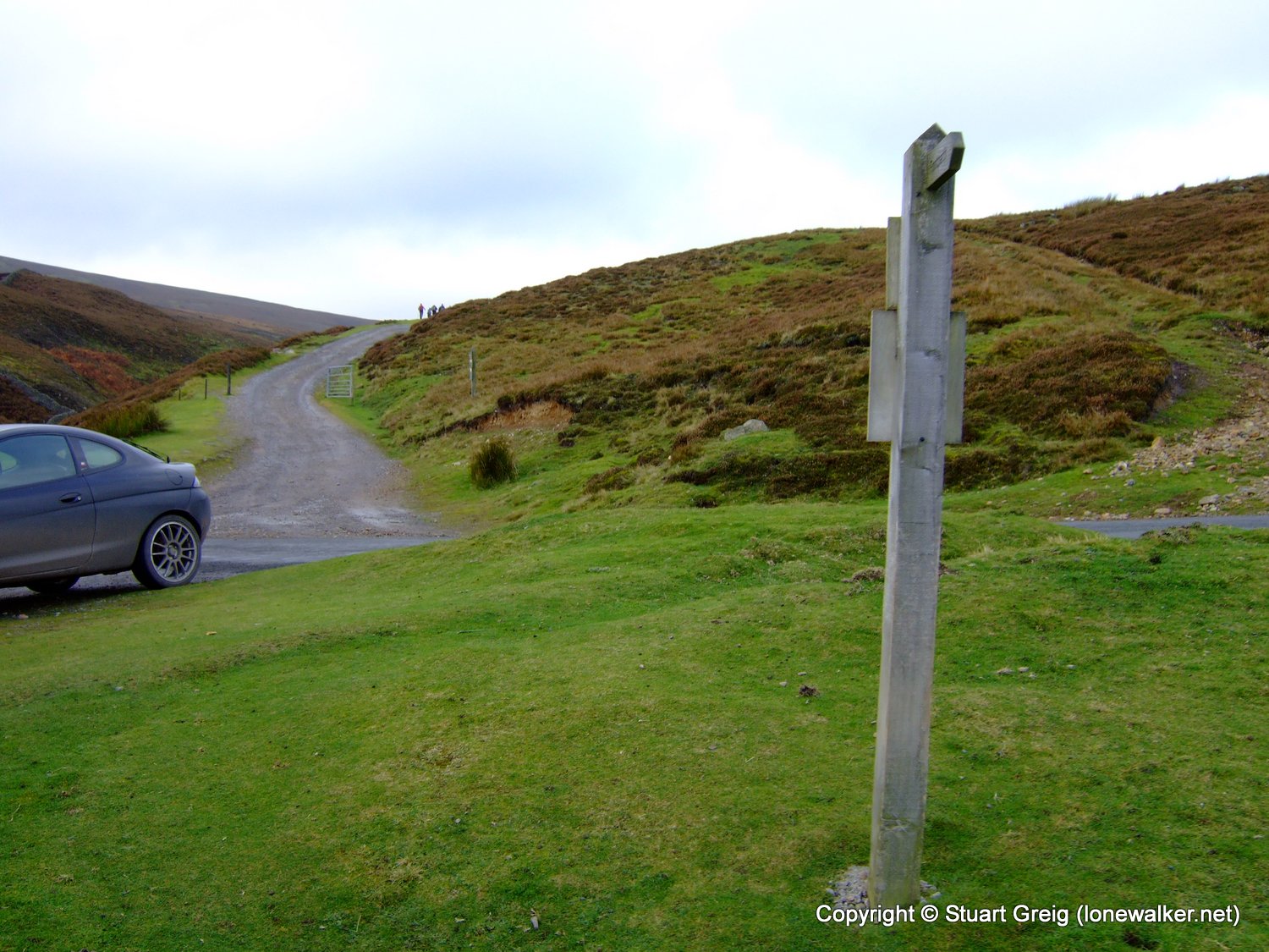
Route Description: Surrender Bridge, Cringley Bottom, Healaugh, Reeth, Grinton, Grinton Lodge and return
Parking Grid Ref: SD 98895 99840
View Parking space in: OS Map or Google Street View
Walking with: Alone
Long Distance Path:
Click any image to open the full screen photo gallery
Walk Name: Hardraw to Askrigg
Date: 2009-10-25
Distance: 12.0 mls, 19.31 km
Height Gain: 1000 ft, 304.8 m
Walk Name: Great Shunner Fell
Date: 2009-11-07
Distance: 9.5 mls, 15.29 km
Height Gain: 1700 ft, 518.2 m