
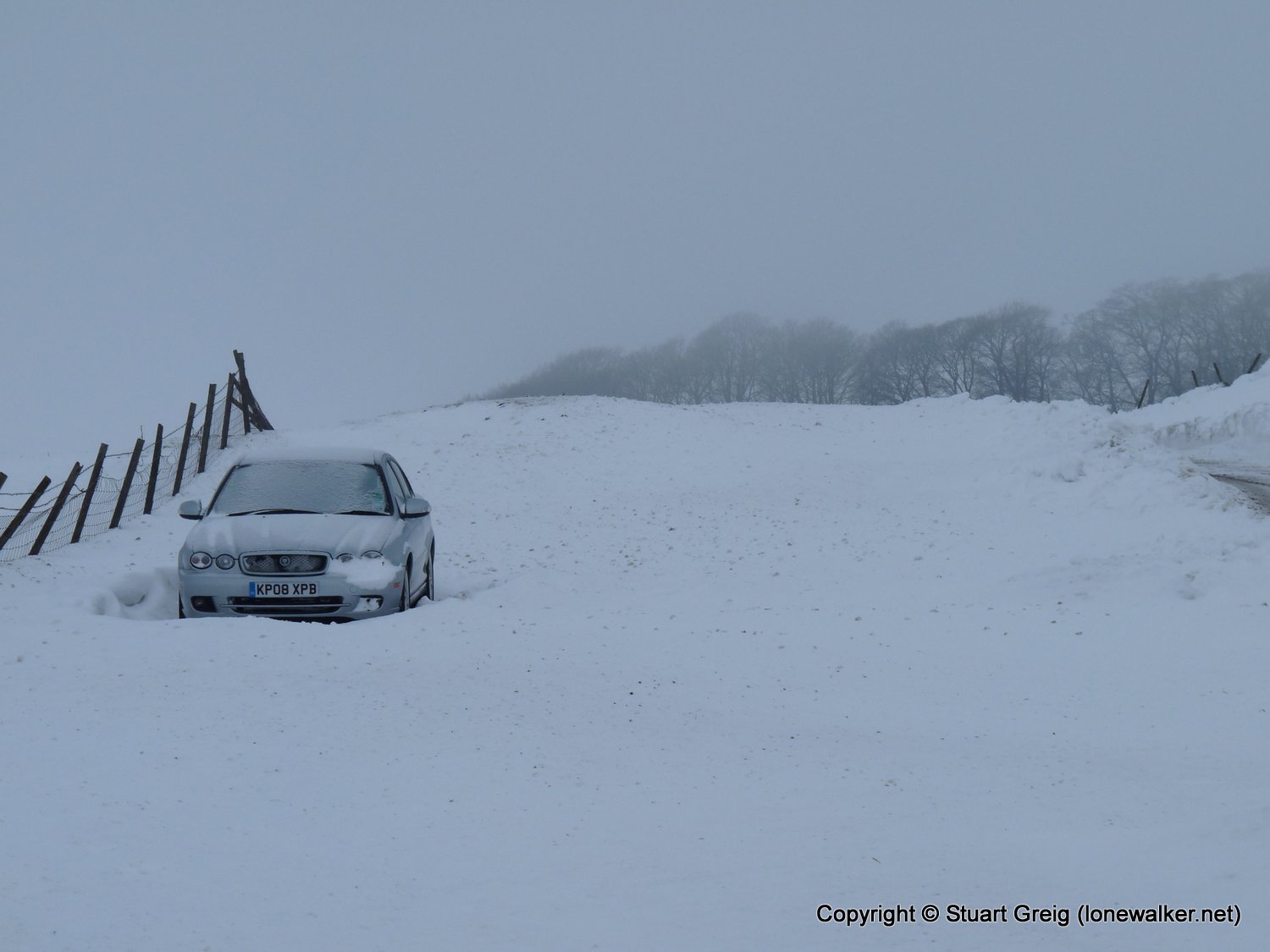
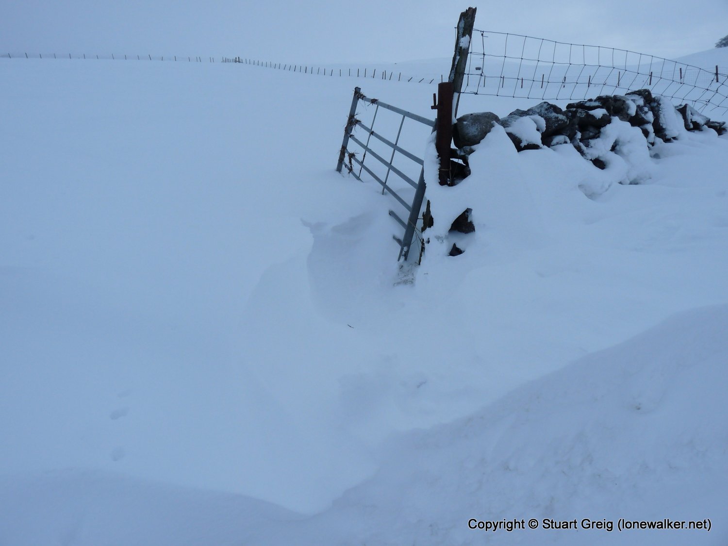
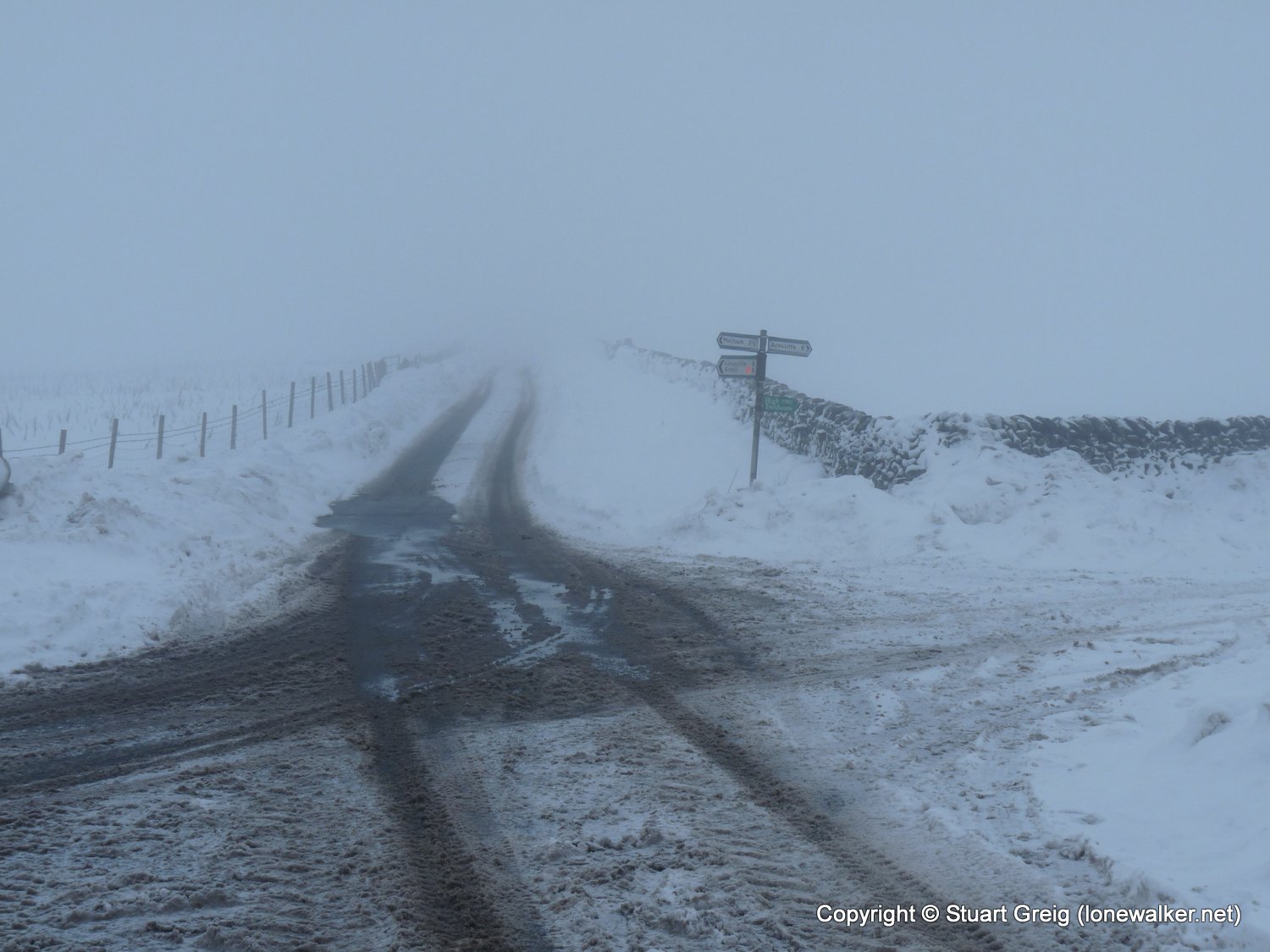
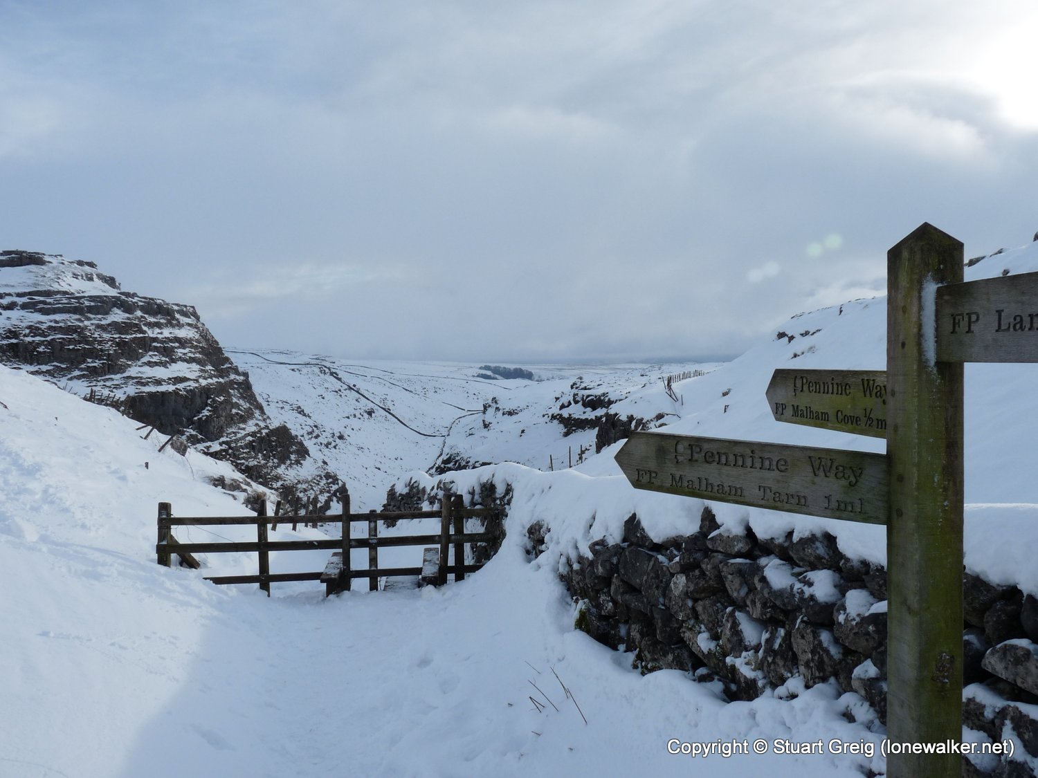
Date: 2010-01-02
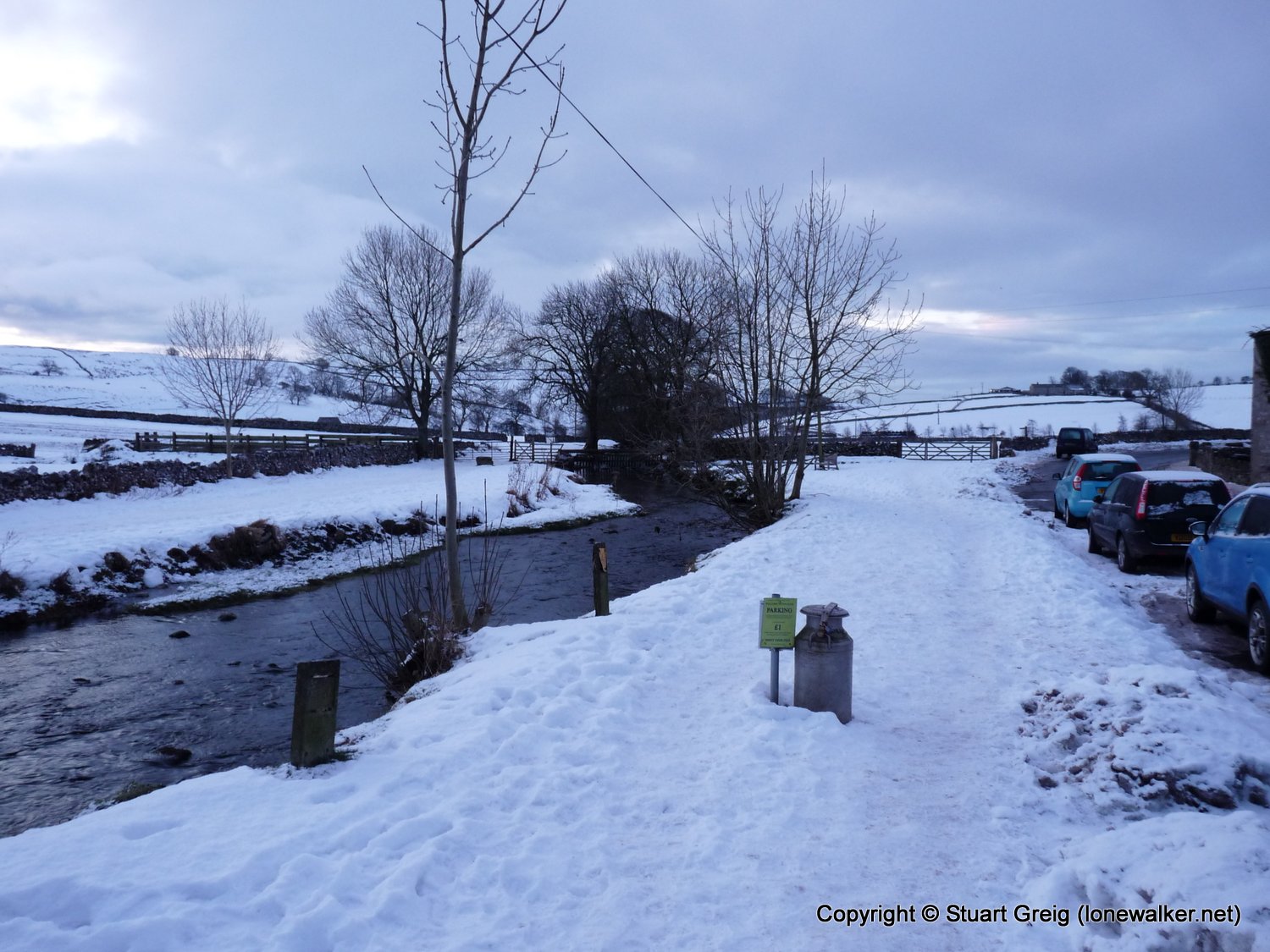
Start: Malham Finish: Malham
Distance: 8.0 mls, 12.87 km
Height Gain: 1000 ft, 304.8 m
Start Time: 08:15 End Time: 12:41
Duration: 04:26
Ave Speed: 1.8 mph
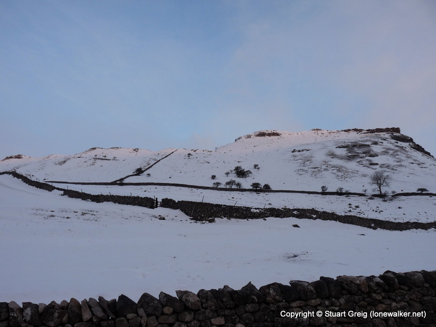
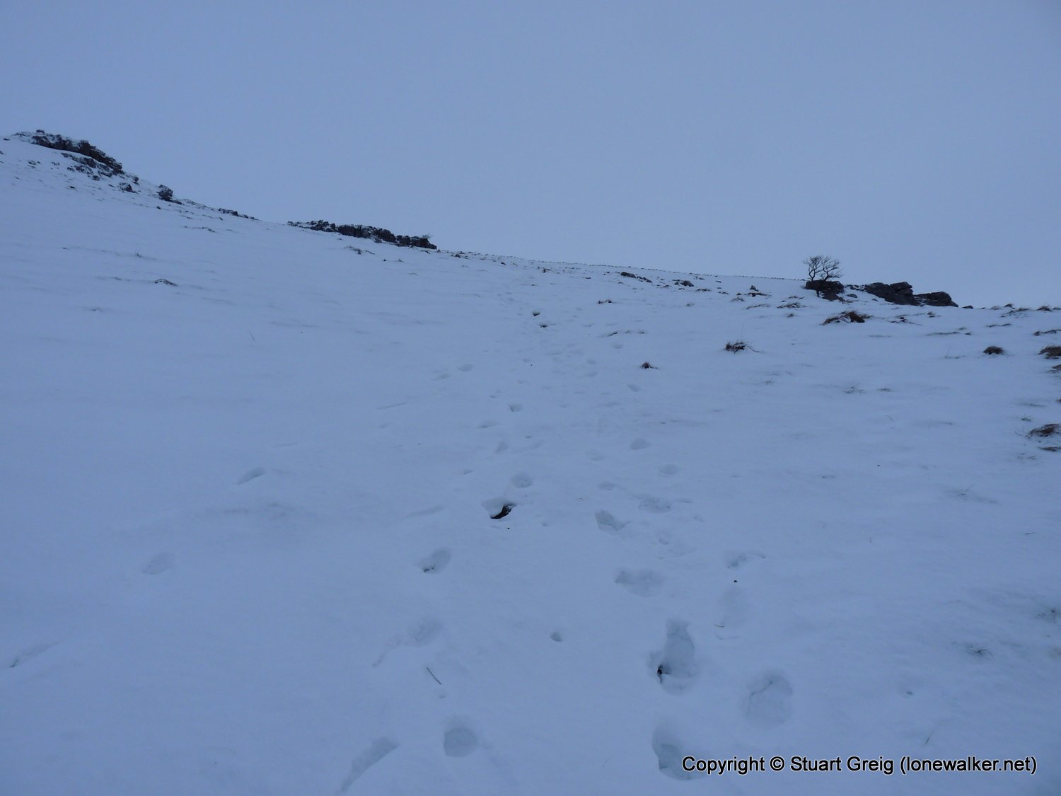
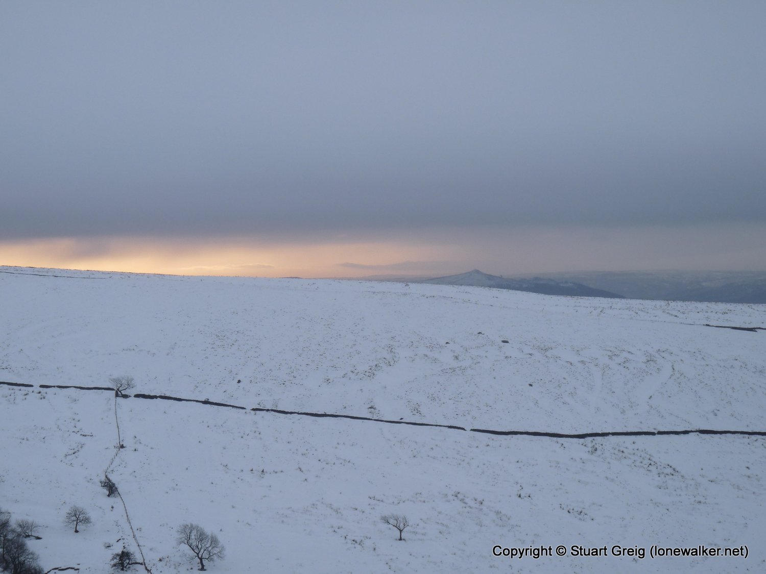
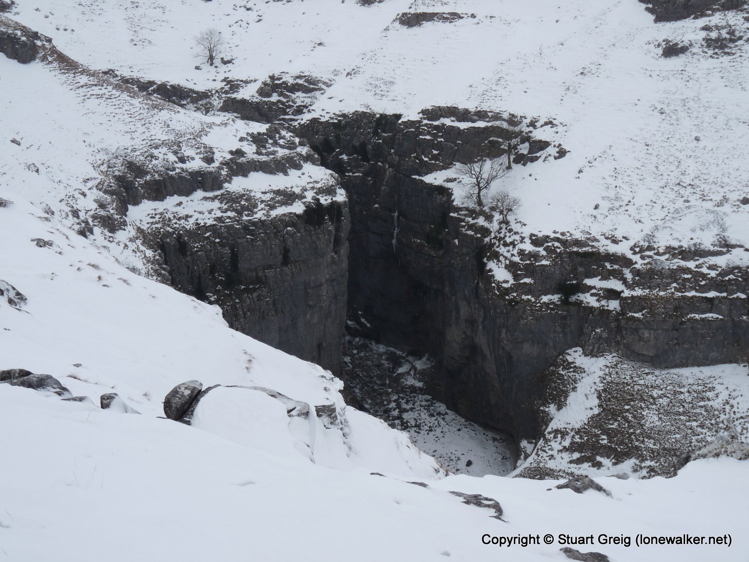
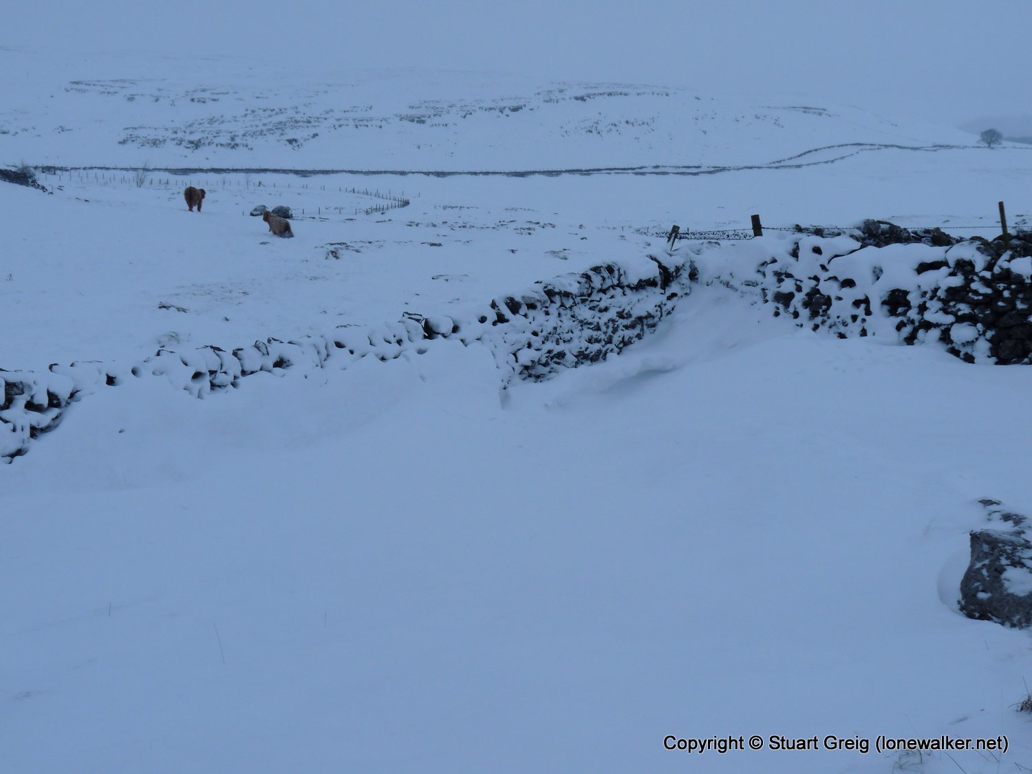
Region: Yorkshire Dales
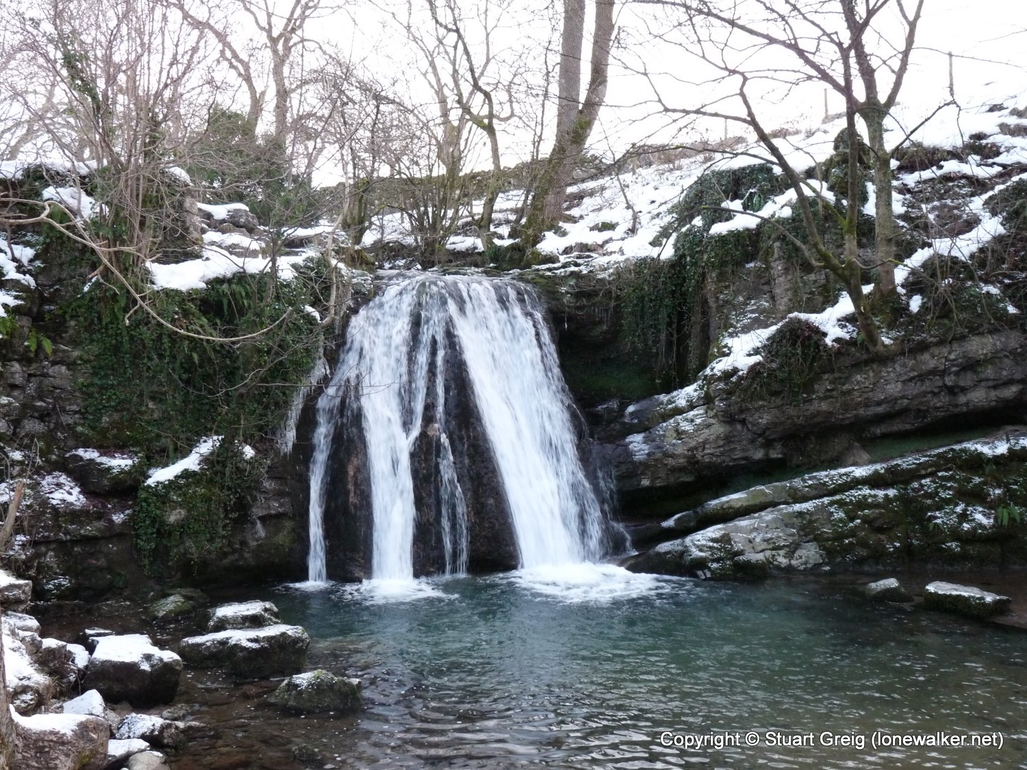
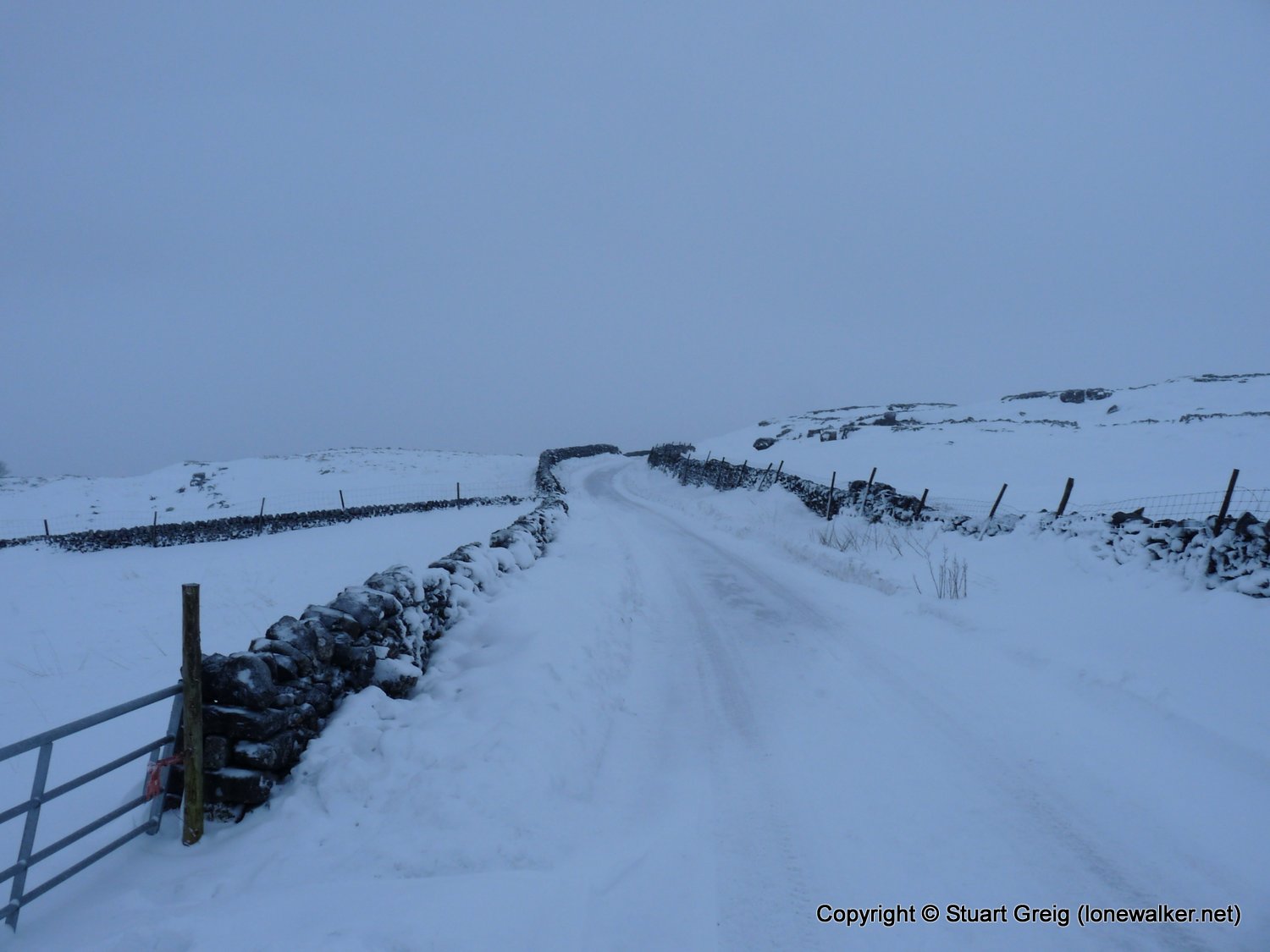
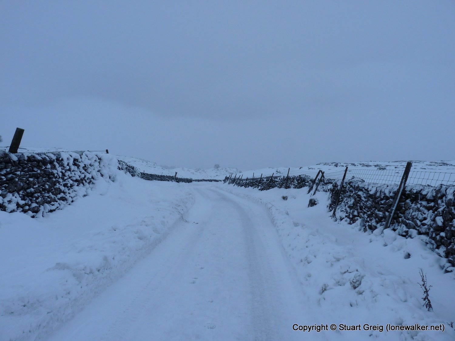
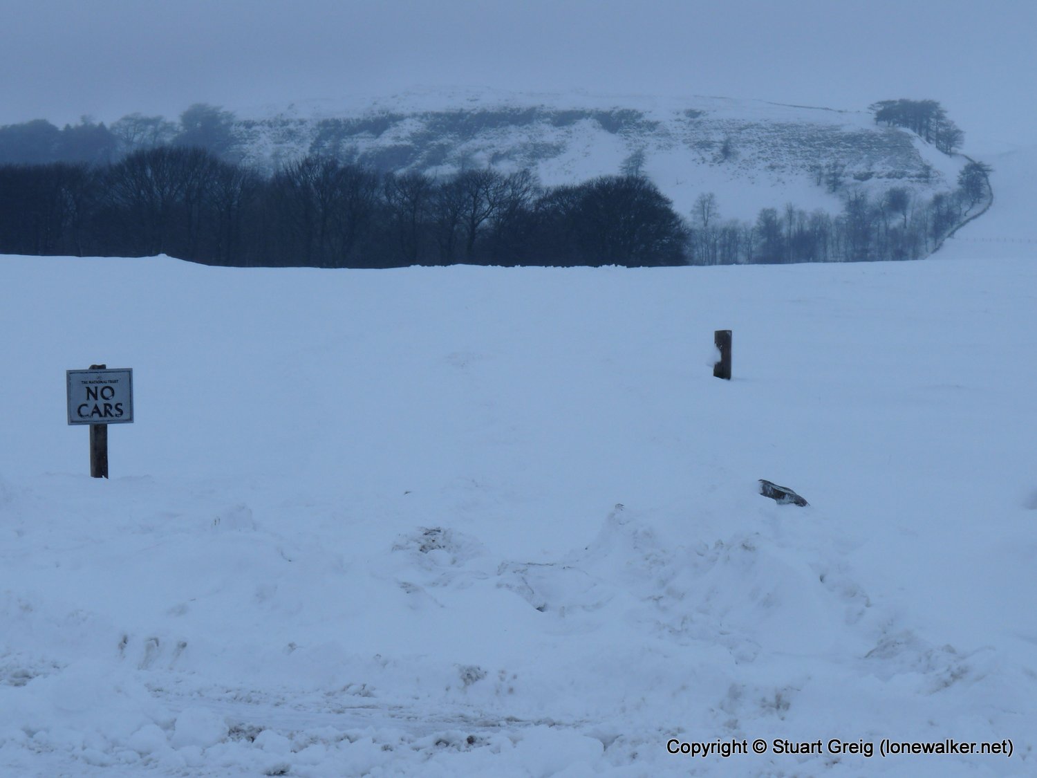
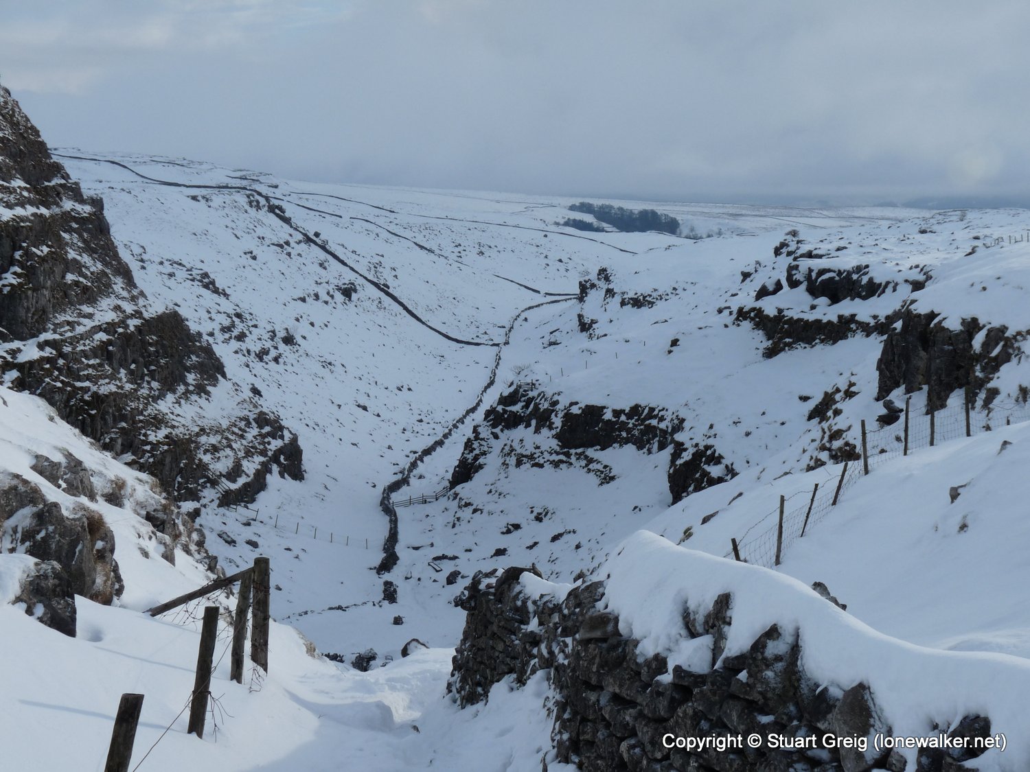
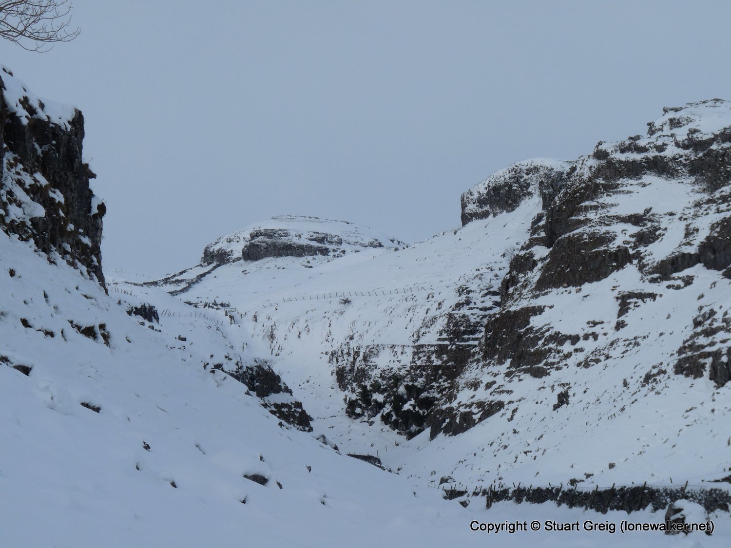
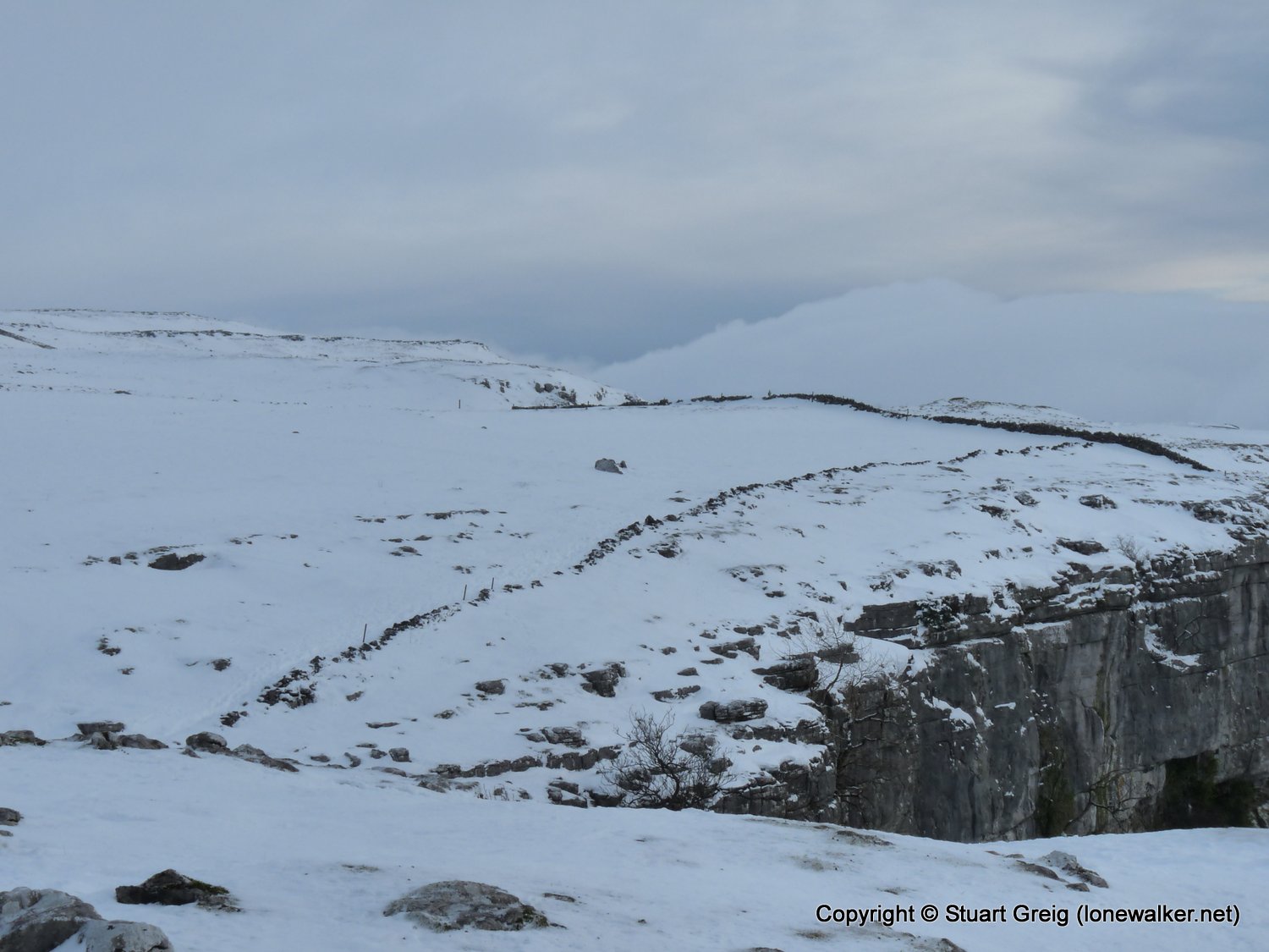
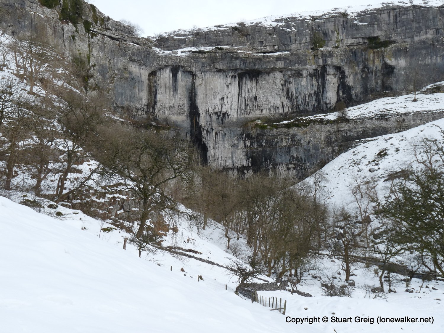
Route Description: Malham, Janet's Foss, above Gordale Scar, Malham Lings, Street Gate, Streets, Langscar Gate, Malham Cove, Malham
Parking Grid Ref: SD 90090 62780
View Parking space in: OS Map or Google Street View
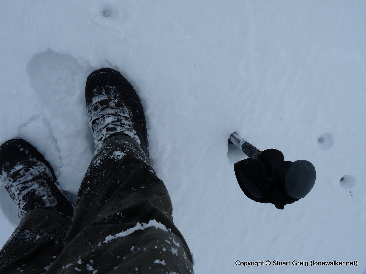
Walking with: Alone
Long Distance Path:
Click any image to open the full screen photo gallery
Walk Name: Stanage Edge
Date: 2009-12-20
Distance: 7.0 mls, 11.27 km
Height Gain: 800 ft, 243.8 m
Walk Name: The Roaches
Date: 2010-01-09
Distance: 1.8 mls, 2.90 km
Height Gain: 500 ft, 152.4 m