
Date: 2010-06-18
Start: Hoathwaite Farm Finish: Hoathwaite Farm
Distance: 13.5 mls, 21.73 km
Height Gain: 2100 ft, 640.1 m
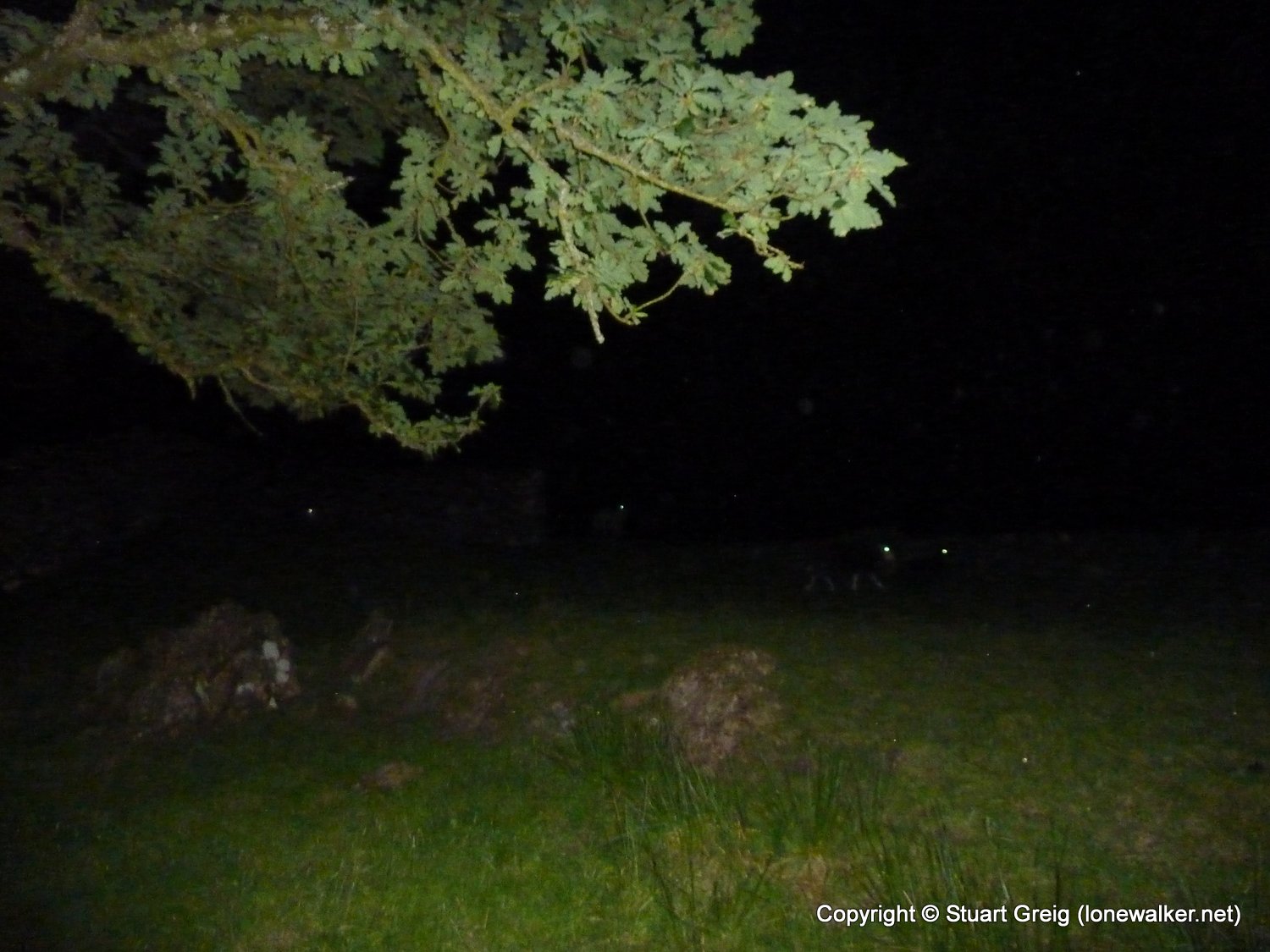
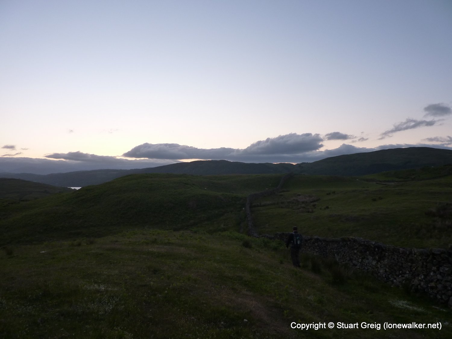
Start Time: 21:22 End Time: 05:37
Duration: -15:45
Ave Speed: 1.6 mph
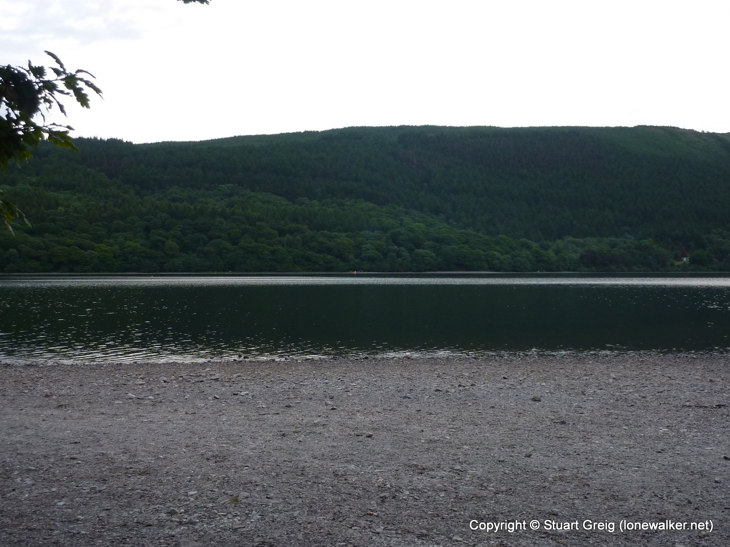
Region: Lake District
Route Description: Hoathwaite, Coniston, Bleathwaite Pasture, Torver, Plain Riggs, Blawith Fells, Beacon Tarn, Coats Hill, Coniston Water, Hoathwaite
Parking Grid Ref: SD 29995 95297
View Parking space in: OS Map or Google Street View
Walking with: Rob Powell
Long Distance Path:
2686 - Beacon Fell (837 ft)
Click any image to open the full screen photo gallery


Walk Name: Pickerstone Ridge
Date: 2010-06-12
Distance: 13.0 mls, 20.92 km
Height Gain: 1800 ft, 548.6 m
Walk Name: Yockenthwaite Moor
Date: 2010-06-26
Distance: 9.0 mls, 14.48 km
Height Gain: 1900 ft, 579.1 m