
Date: 2010-10-14
Start: Harrock Rigg Finish: Harrock Rigg
Distance: 7.0 mls, 11.27 km
Height Gain: 800 ft, 243.8 m
Start Time: 07:54 End Time: 10:27
Duration: 02:33
Ave Speed: 2.7 mph
Region: Yorkshire Dales
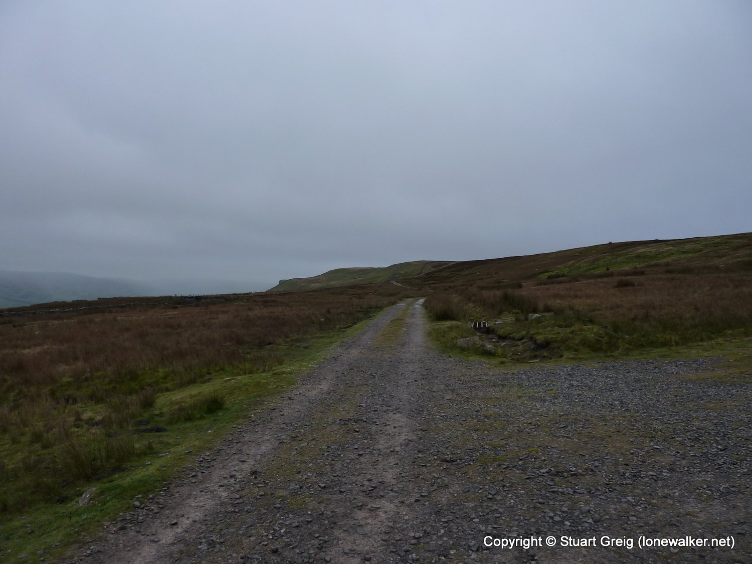
Route Description: Harrock Rigg, Whitfield Fell, Blackstone Edge, Oxnop Beck Head, The Fleak, Long Band, Green Mea Head, Harrock Rigg
Parking Grid Ref: SD 94675 92945
View Parking space in: OS Map or Google Street View
Walking with: Alone
Long Distance Path:
3581 - Oxnop Common - Blackstone (1916 ft)
3590 - Tarn Seat [Conny Tammy Currack] [The Fleak] (1808 ft)
TP6382 - The Fleak (Good condition)
Click any image to open the full screen photo gallery


Walk Name: Brown Bank to Skipton
Date: 2010-10-01
Distance: 7.0 mls, 11.27 km
Height Gain: 700 ft, 213.4 m
Walk Name: Pen-y-Ghent & Plover Hill
Date: 2010-10-16
Distance: 9.0 mls, 14.48 km
Height Gain: 1900 ft, 579.1 m