
Date: 2010-10-30
Start: Bury Down Finish: North Stoke
Distance: 13.5 mls, 21.73 km
Height Gain: 600 ft, 182.9 m
Start Time: 07:58 End Time: 12:13
Duration: 04:15
Ave Speed: 3.2 mph
Region: Southern England
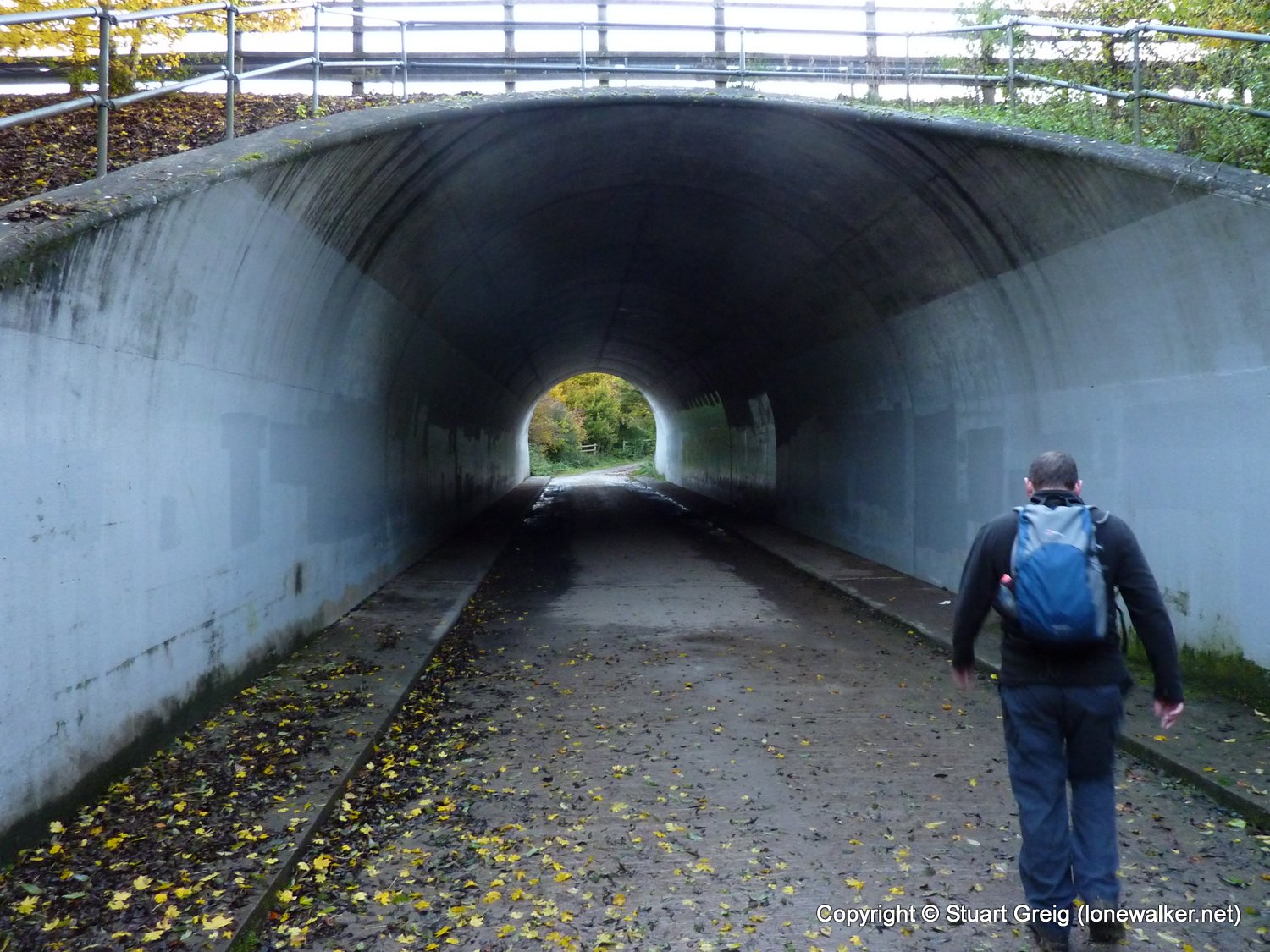
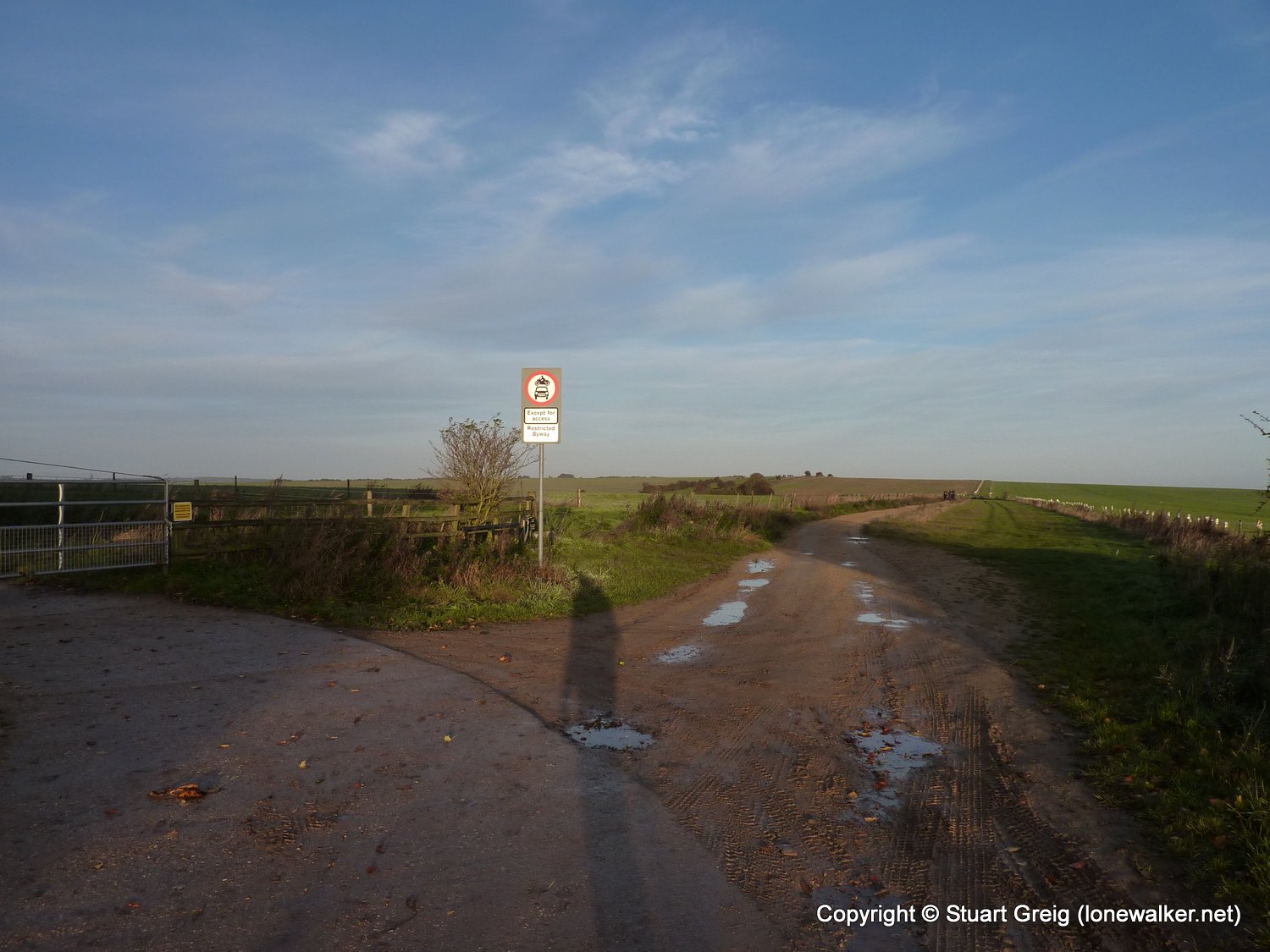
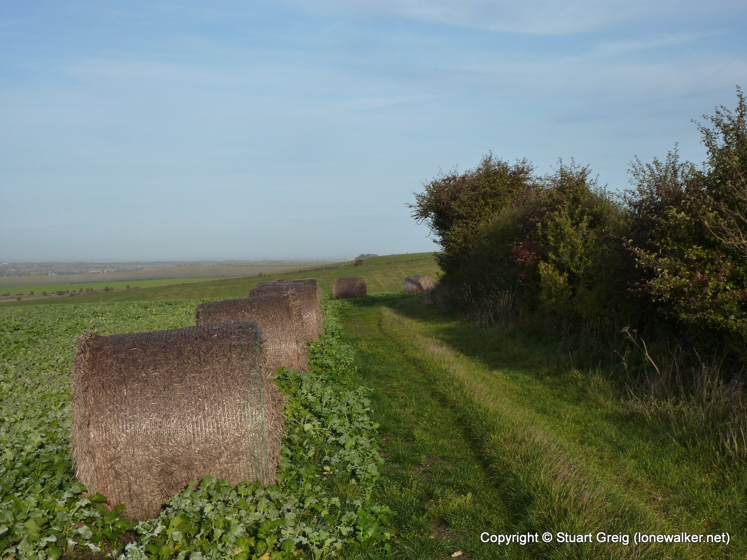
Route Description: Bury Down, Lowbury Hill, Thurle Down, Streatley, South Stoke, North Stoke
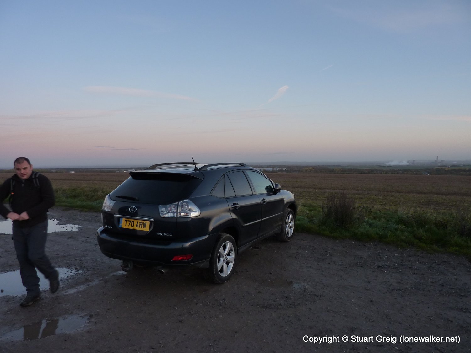
Parking Grid Ref: SU 47923 84040
View Parking space in: OS Map or Google Street View
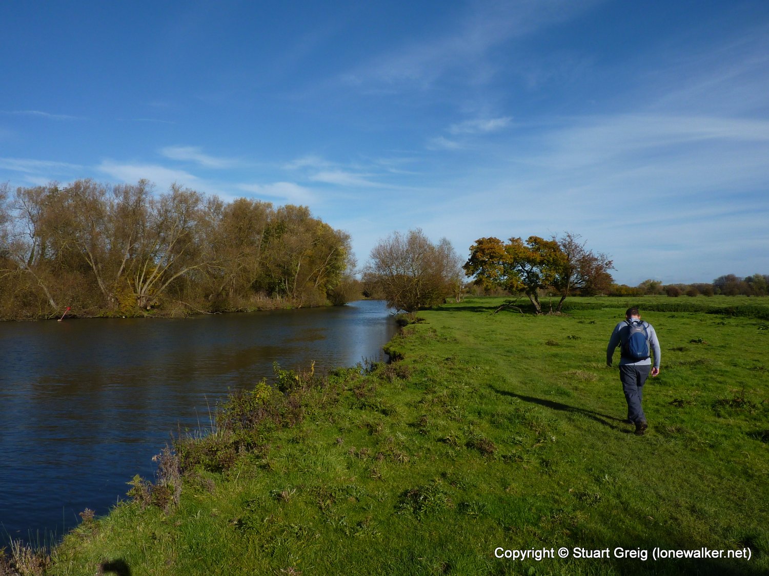
Walking with: Alex Watson
Long Distance Path: Ridgeway
18430 - Warren Hill (615 ft)
TP4560 - Lowbury Hill (Good condition)
Click any image to open the full screen photo gallery


Walk Name: Simon's Seat
Date: 2010-10-23
Distance: 11.0 mls, 17.70 km
Height Gain: 2000 ft, 609.6 m
Walk Name: North Stoke to Watlington
Date: 2010-11-06
Distance: 11.0 mls, 17.70 km
Height Gain: 1200 ft, 365.8 m