
Date: 2011-03-05
Start: Moorcock Inn Finish: Moorcock Inn
Distance: 10.5 mls, 16.90 km
Height Gain: 1400 ft, 426.7 m
Start Time: 07:46 End Time: 11:36
Duration: 03:50
Ave Speed: 2.7 mph
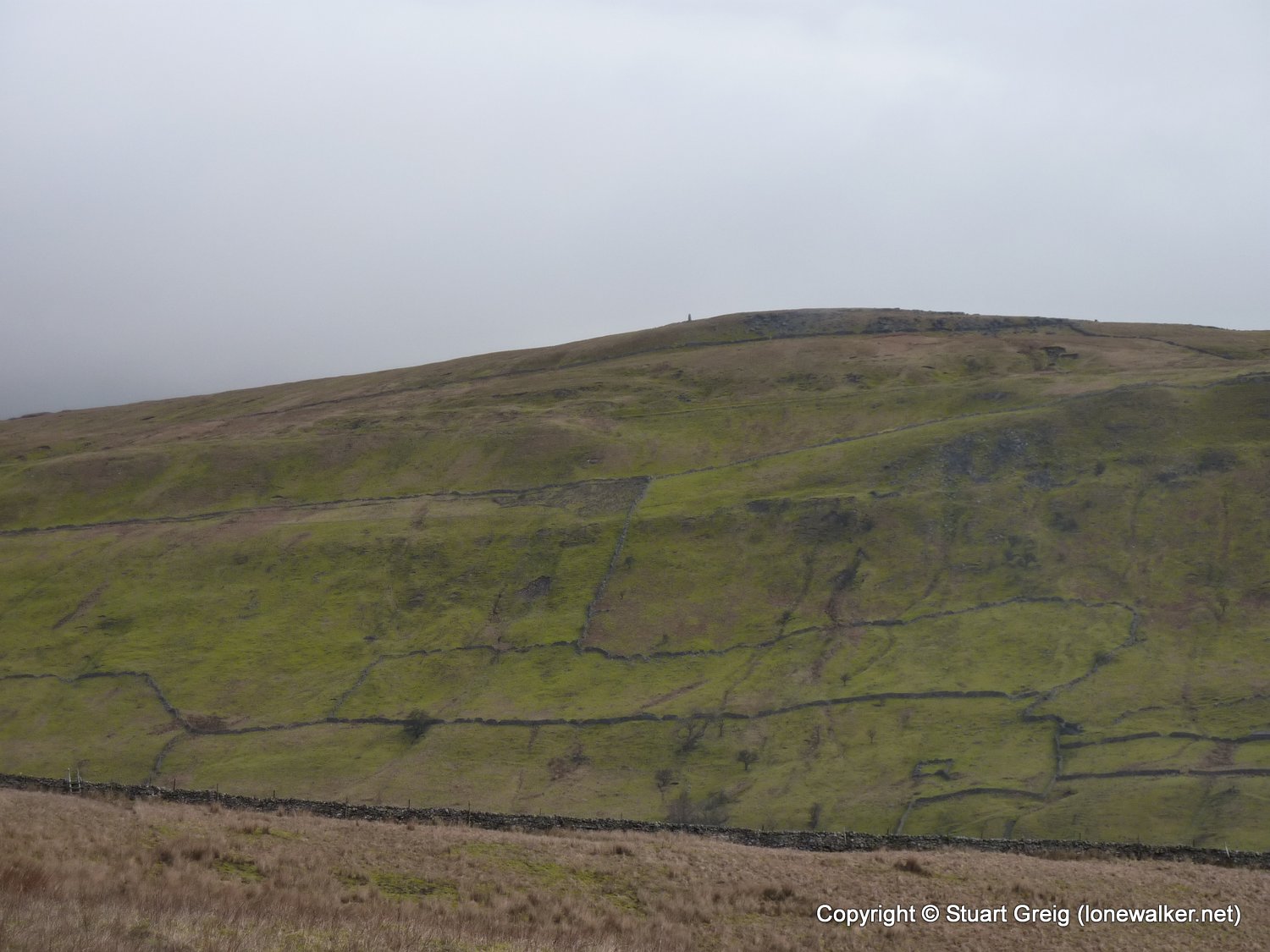
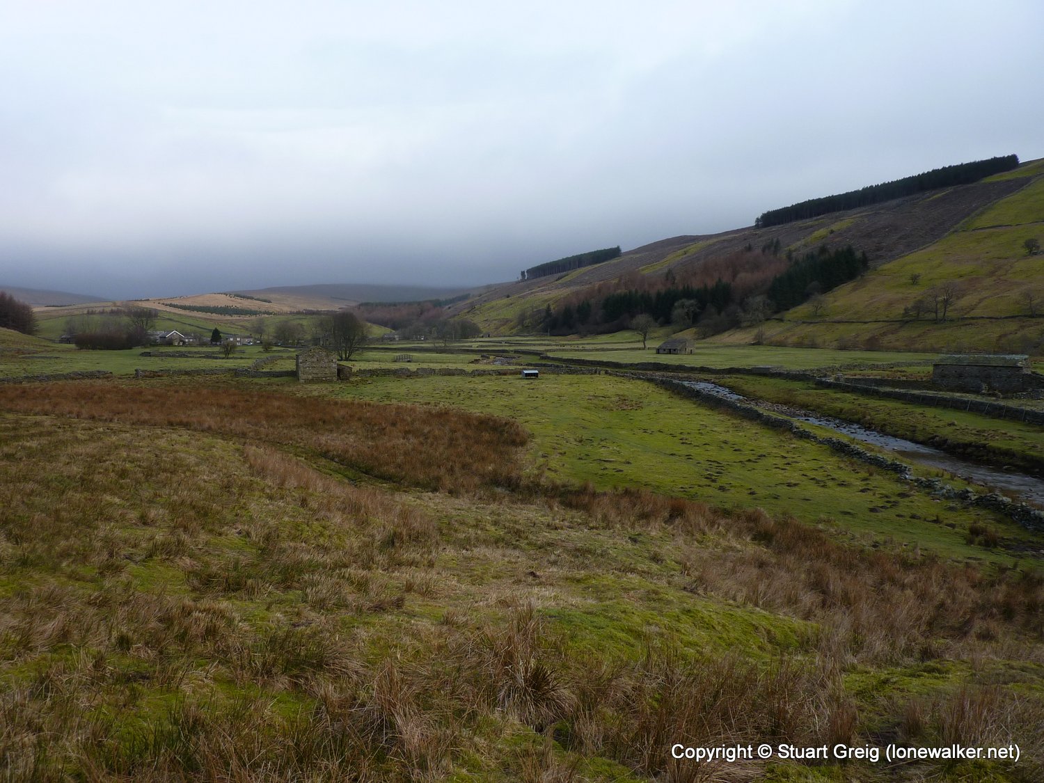
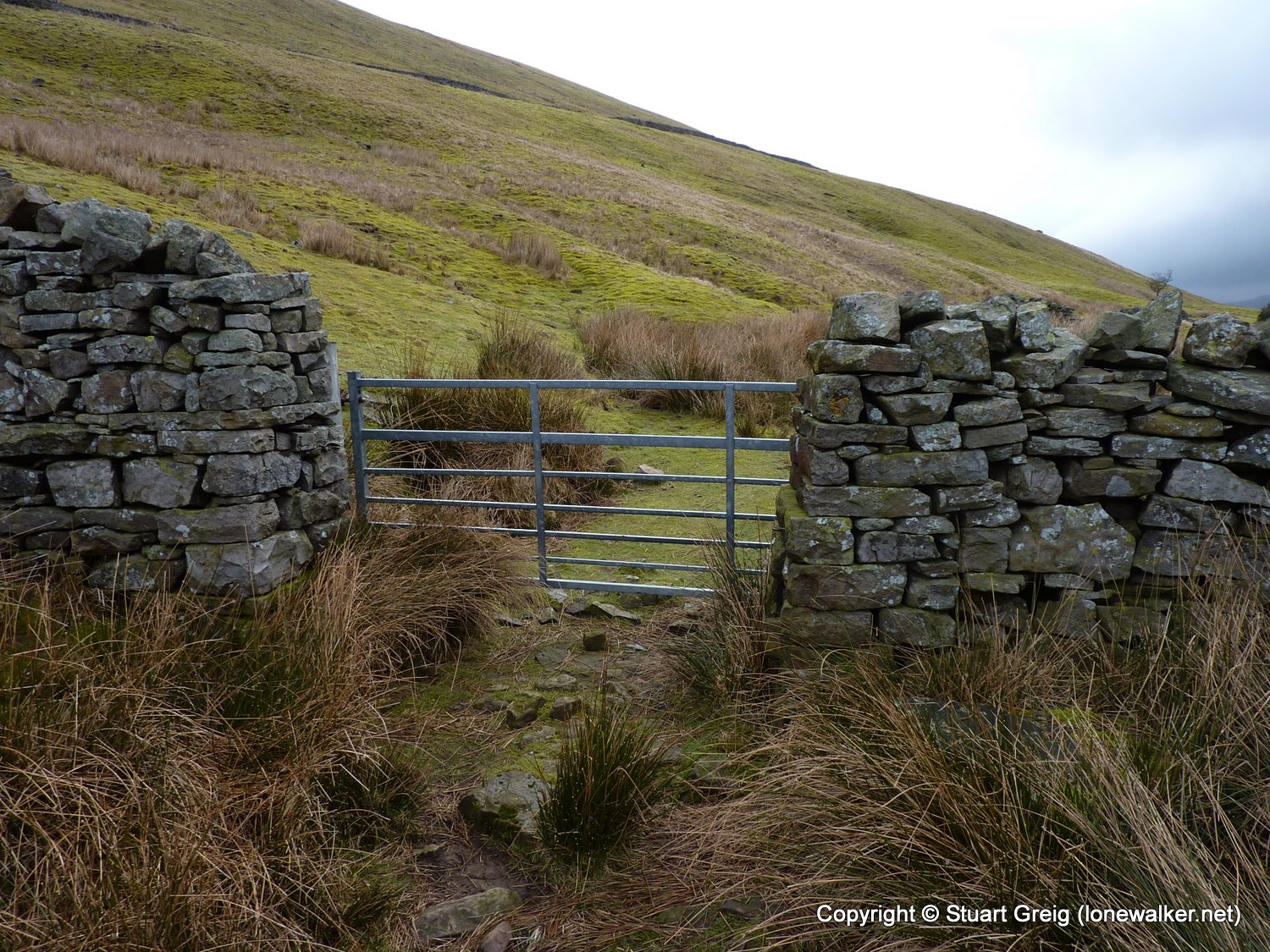
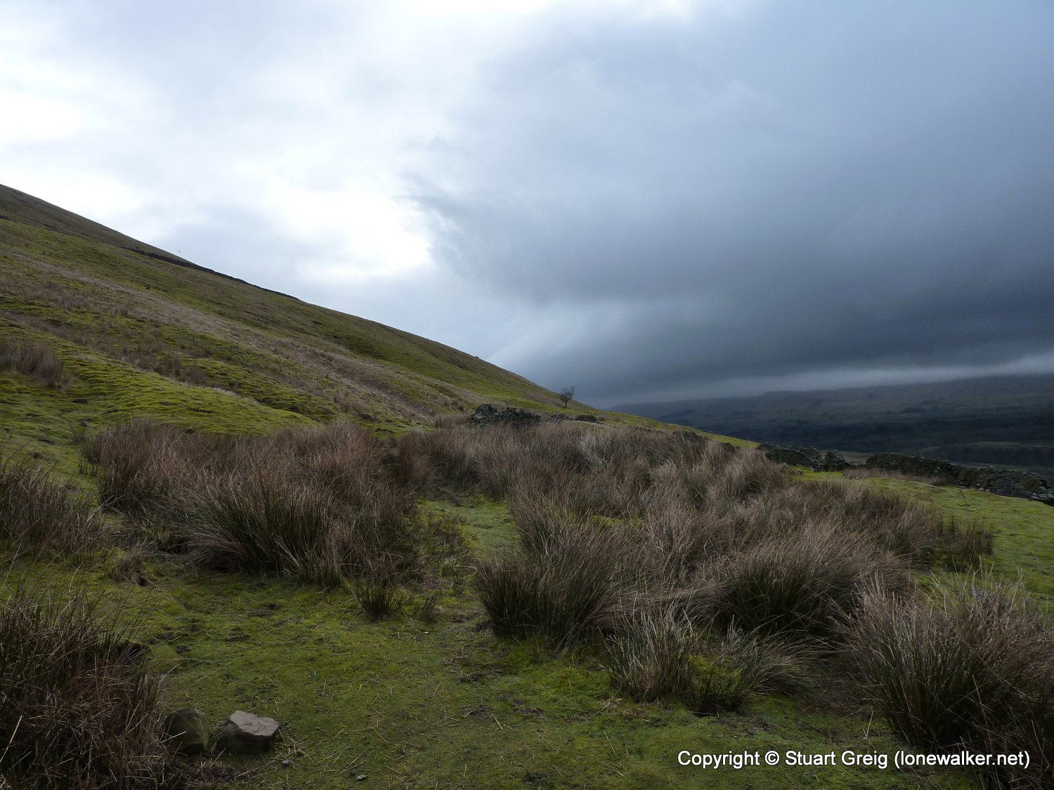
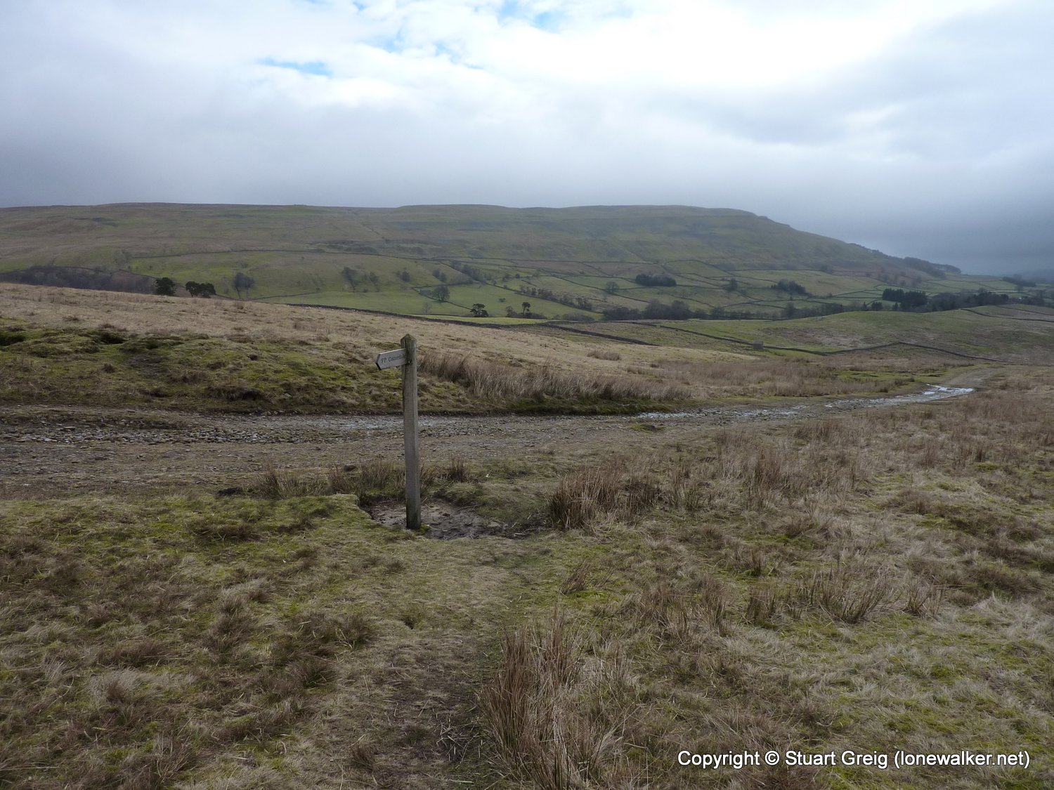
Region: Yorkshire Dales
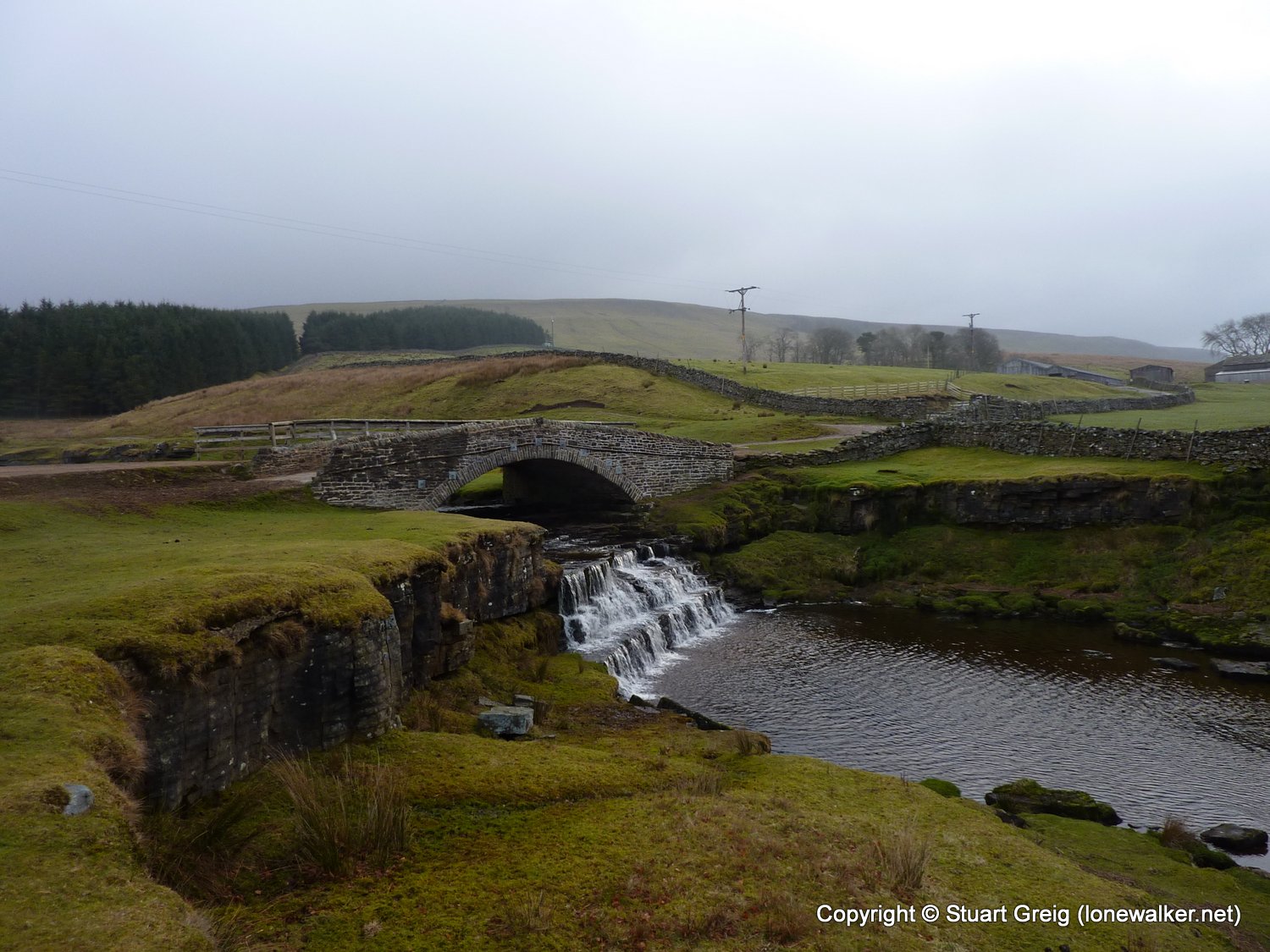
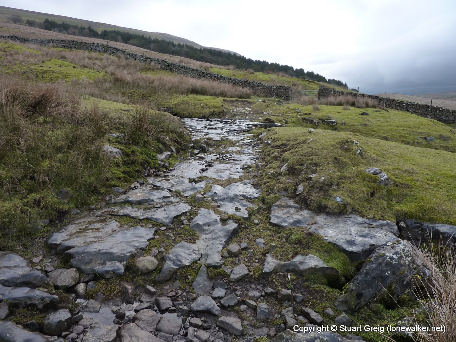
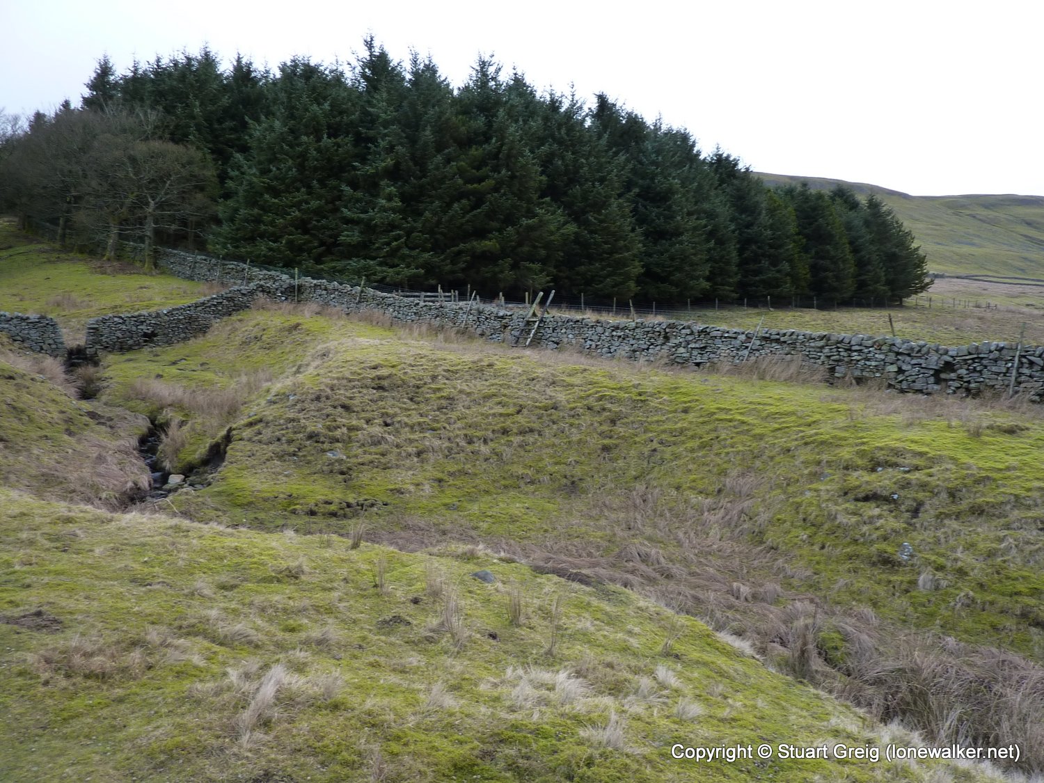
Route Description: Garsdale Head (Moorcock Inn), Yore House Thwaite Bridge, Low Rigg, Cotterdale, Black Rash Wood, Bluebell Hill, New Bridge, Hollin Bank, Mossdale Head, Badger Hill, Garsdale Head
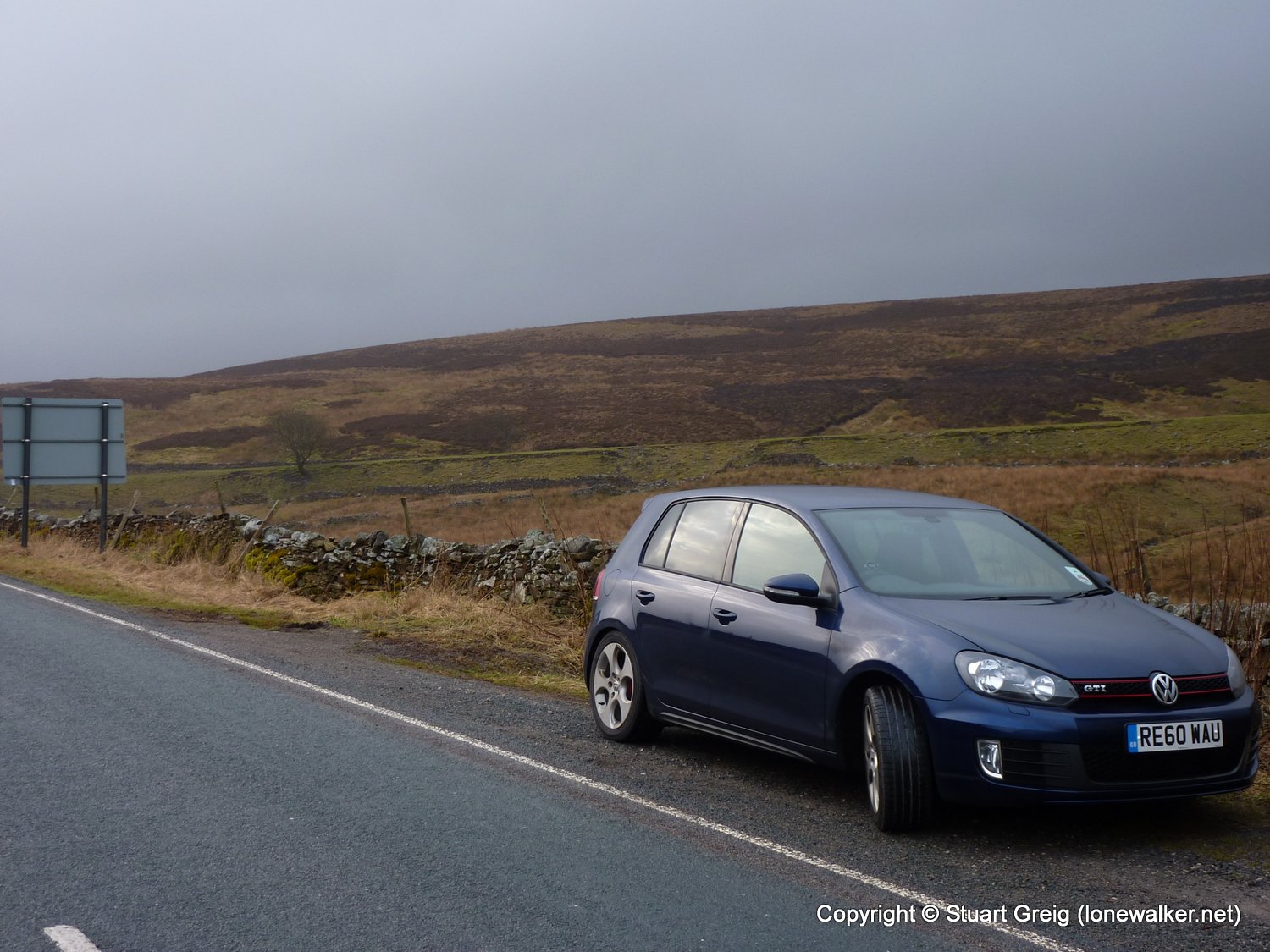
Parking Grid Ref: SD 79833 92635
View Parking space in: OS Map or Google Street View
Walking with: Alone
Long Distance Path:
Click any image to open the full screen photo gallery
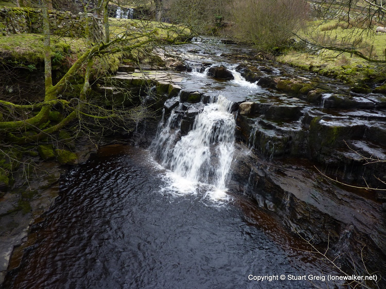
Walk Name: Ingleton Waterfalls
Date: 2011-02-19
Distance: 8.0 mls, 12.87 km
Height Gain: 1200 ft, 365.8 m
Walk Name: Whernside
Date: 2011-03-12
Distance: 11.0 mls, 17.70 km
Height Gain: 1800 ft, 548.6 m