Date: 2011-03-19
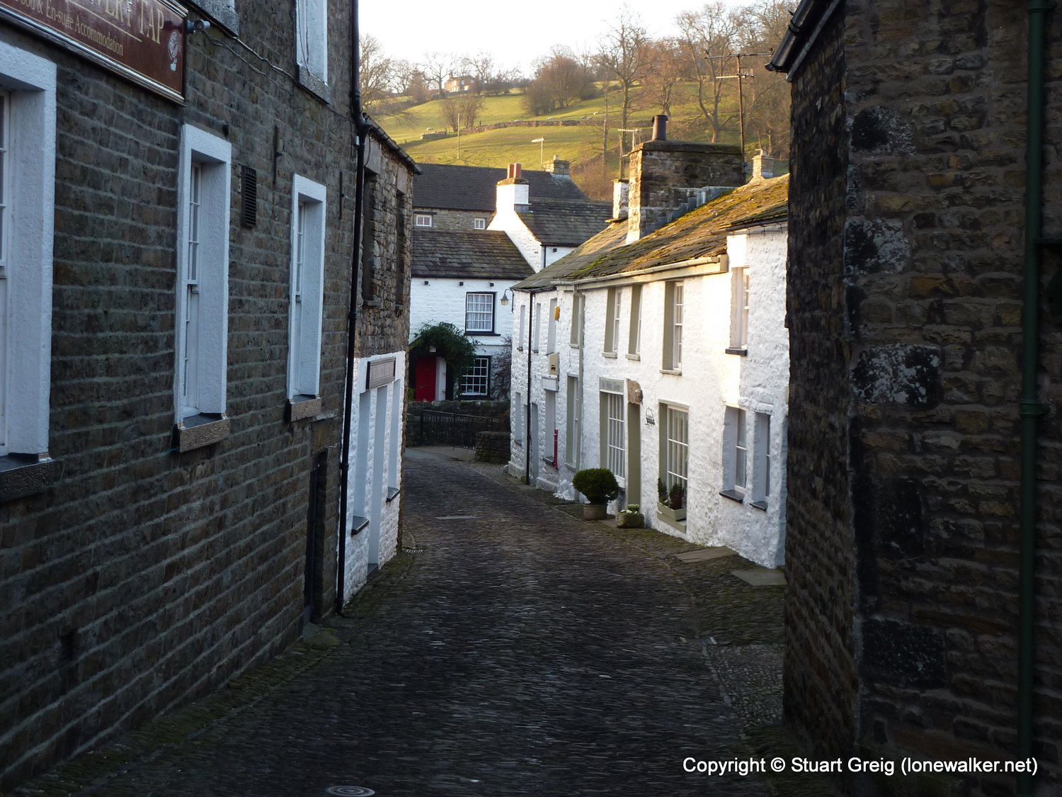
Start: Dent Finish: Dent
Distance: 14.0 mls, 22.53 km
Height Gain: 1800 ft, 548.6 m
Start Time: 06:58 End Time: 13:20
Duration: 06:22
Ave Speed: 2.2 mph
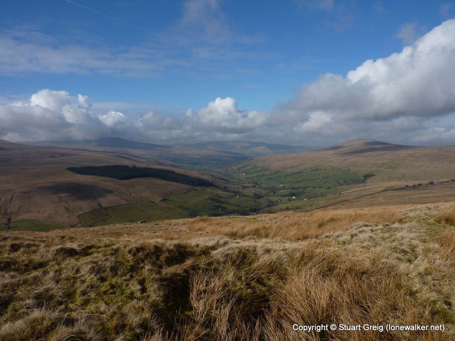
Region: Yorkshire Dales
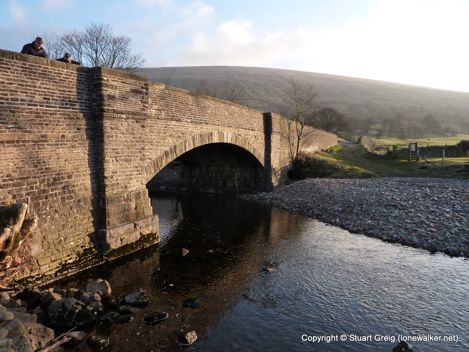
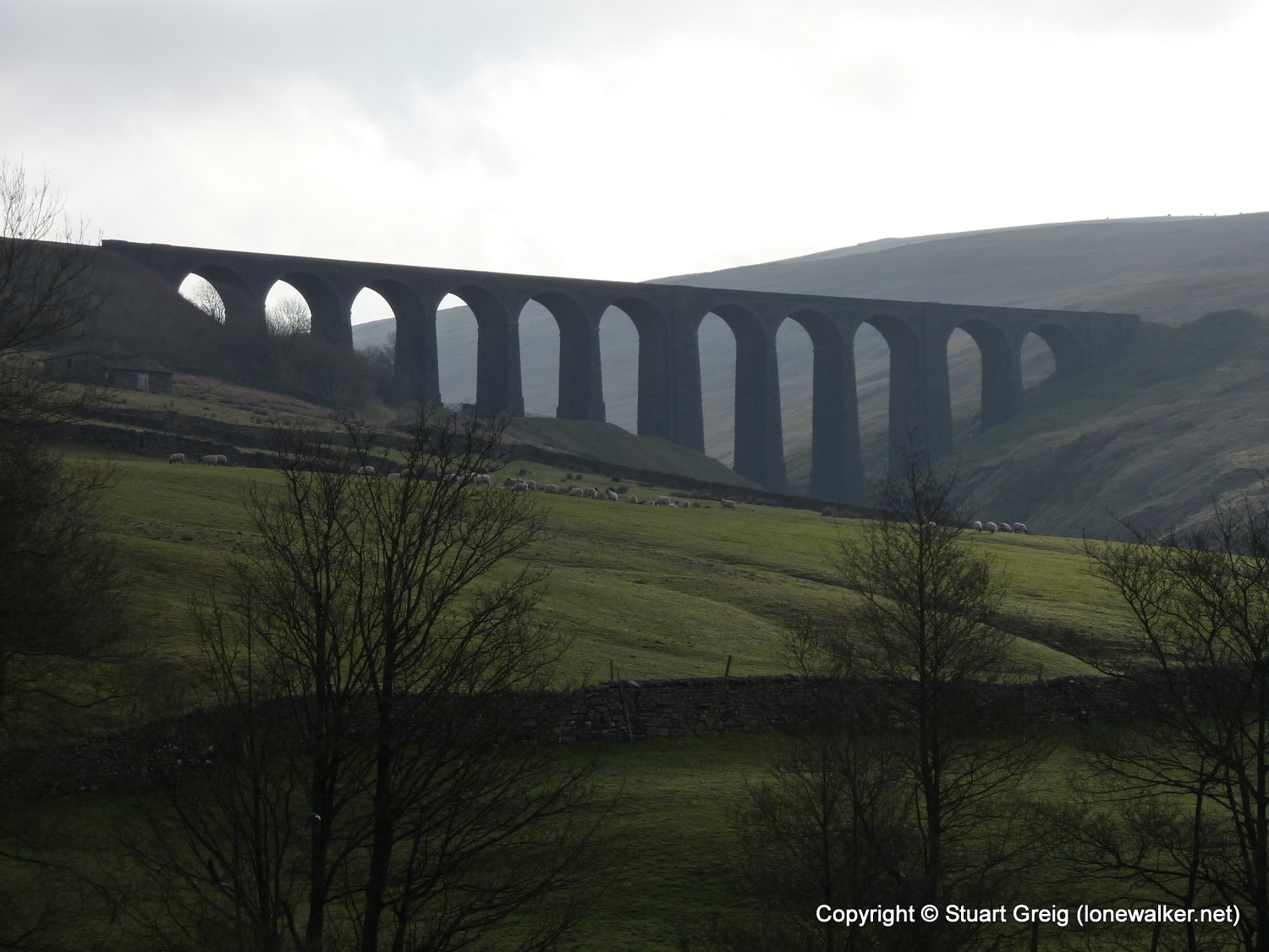
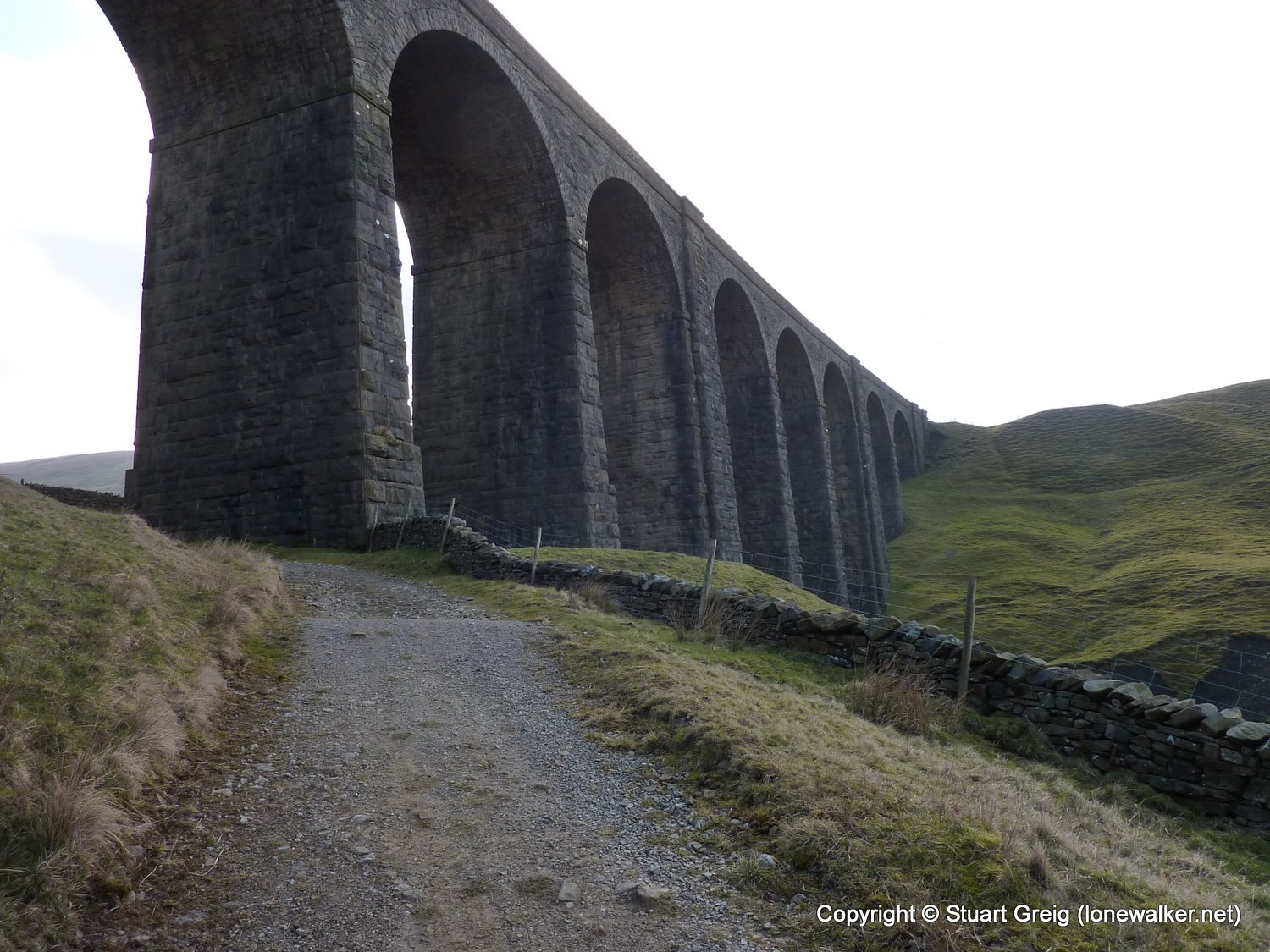
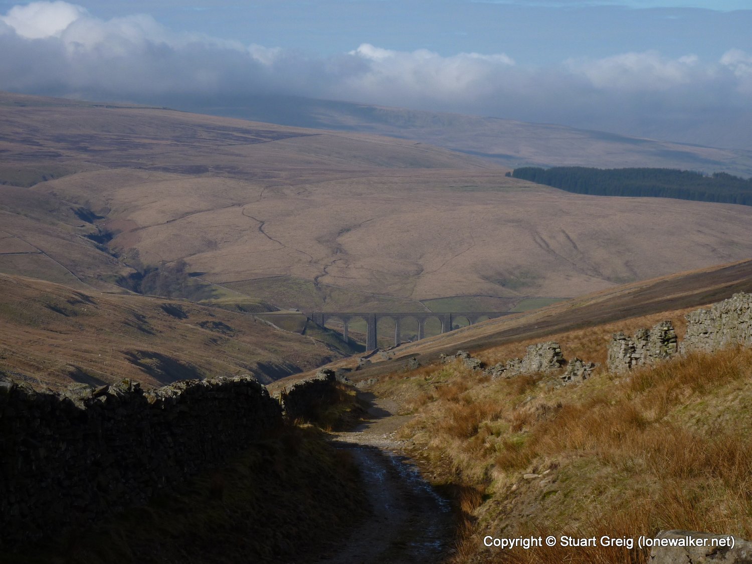
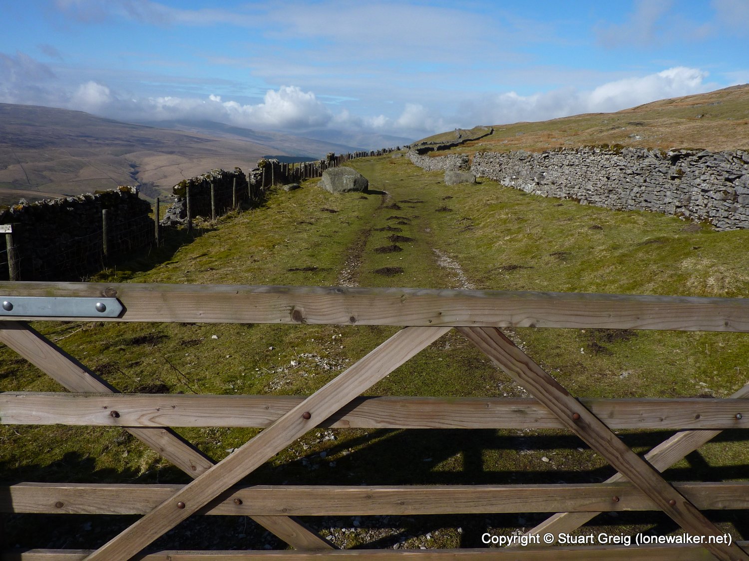
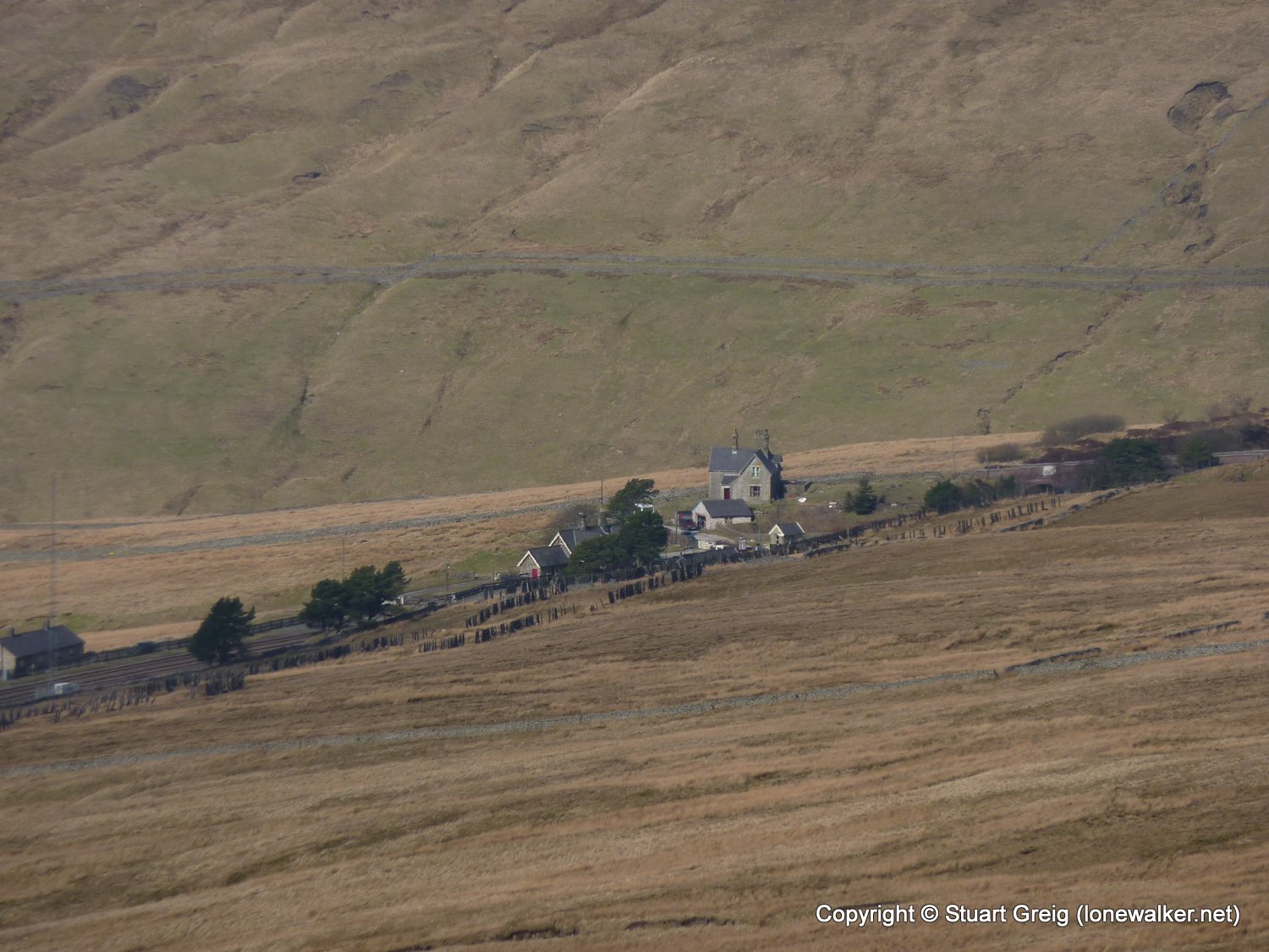
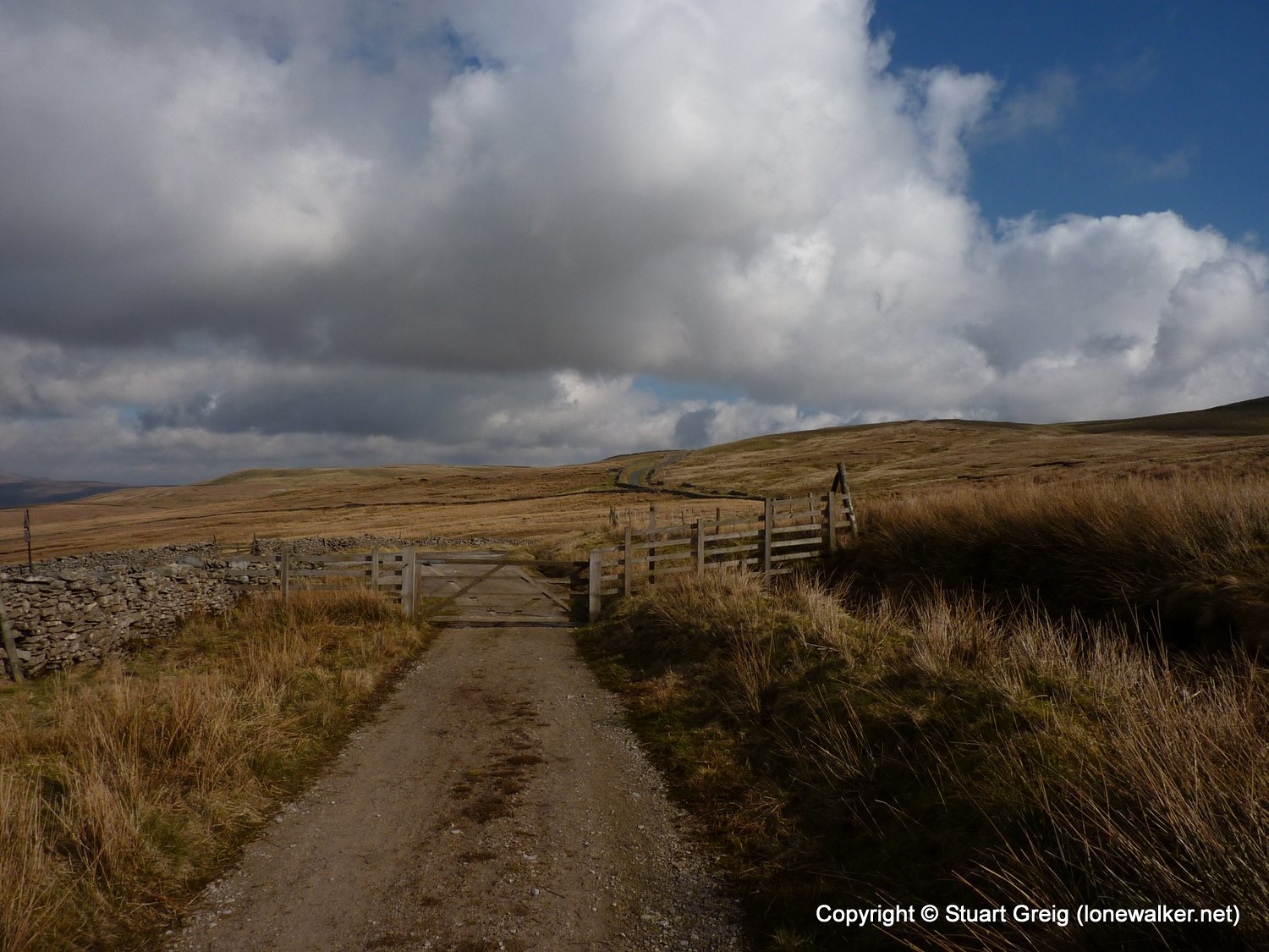
Route Description: Dent village, Church Bridge, Bridge End, Laithbank, Hackergill Farm, Ewegales Bridge, Stonehouse Farm, Arten Gill, Cross Wold, Green Bank, Coal Road, Dent Station, Cowgill, Gibbs Hall, Dent
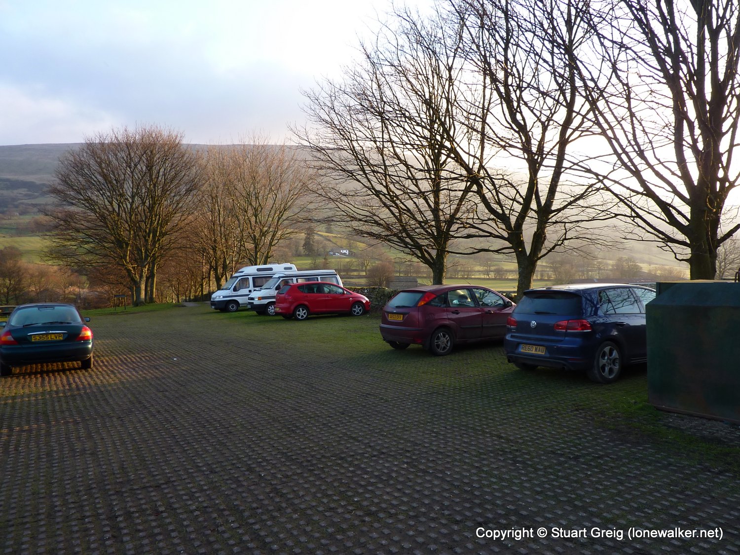
Parking Grid Ref: SD 70442 87074
View Parking space in: OS Map or Google Street View
Walking with: Alone
Long Distance Path:
Click any image to open the full screen photo gallery