
Date: 2011-04-02
Start: Edale Station Finish: Torside
Distance: 16.0 mls, 25.75 km
Height Gain: 2700 ft, 823.0 m
Start Time: 07:50 End Time: 14:09
Duration: 06:19
Ave Speed: 2.5 mph
Region: Peak District
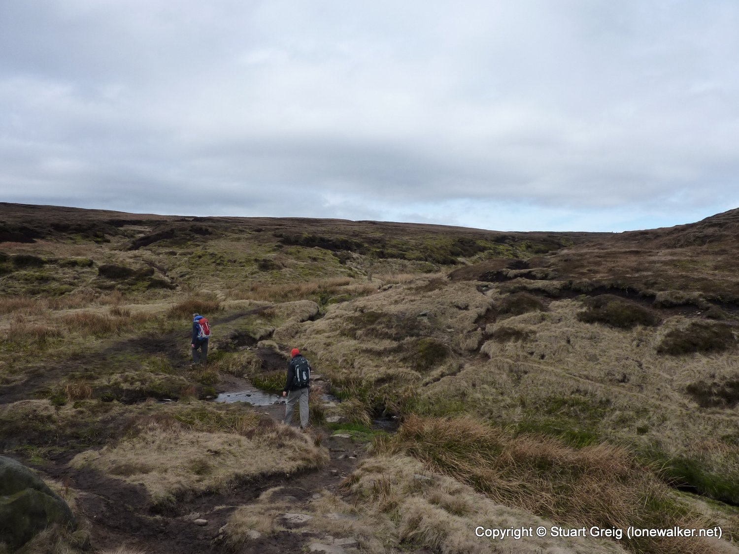
Route Description: Edale, Upper Booth, Jacob's Ladder, Kinder Low, Kinder Downfall, Mill Hill, Featherbed Moss, Hern Clough, Bleaklow Head, Clough Edge, Torside
Parking Grid Ref:
View Parking space in: OS Map or Google Street View
Walking with: Ben Philips, Tim Hodges
Long Distance Path:
Click any image to open the full screen photo gallery


Walk Name: Penhill
Date: 2011-03-26
Distance: 13.0 mls, 20.92 km
Height Gain: 2400 ft, 731.5 m
Walk Name: Cracoe Fell
Date: 2011-04-09
Distance: 13.0 mls, 20.92 km
Height Gain: 2400 ft, 731.5 m