
Date: 2011-04-23
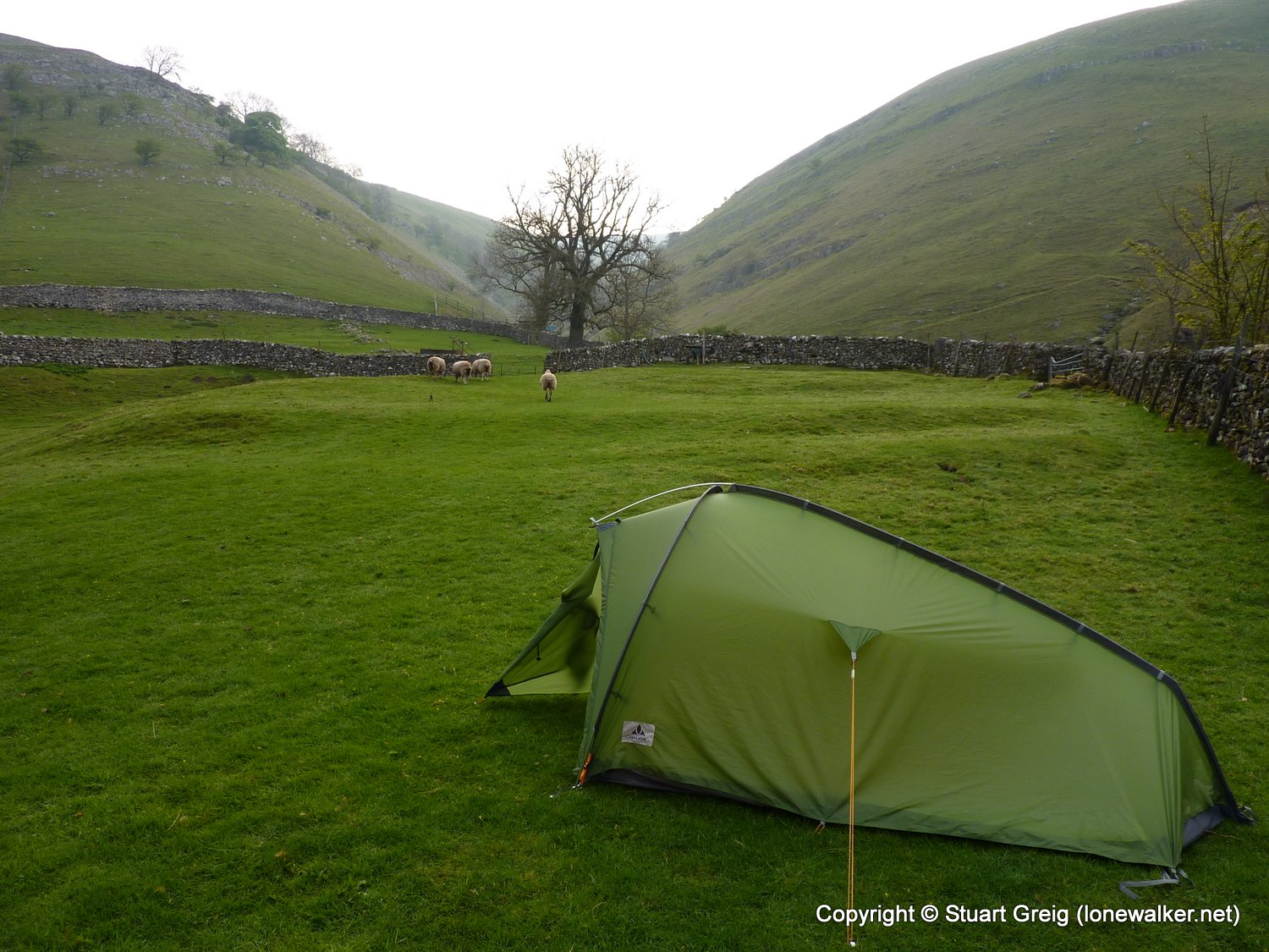
Start: Buckden Finish: Askrigg
Distance: 15.5 mls, 24.94 km
Height Gain: 1800 ft, 548.6 m
Start Time: 07:31 End Time: 12:58
Duration: 05:27
Ave Speed: 2.9 mph
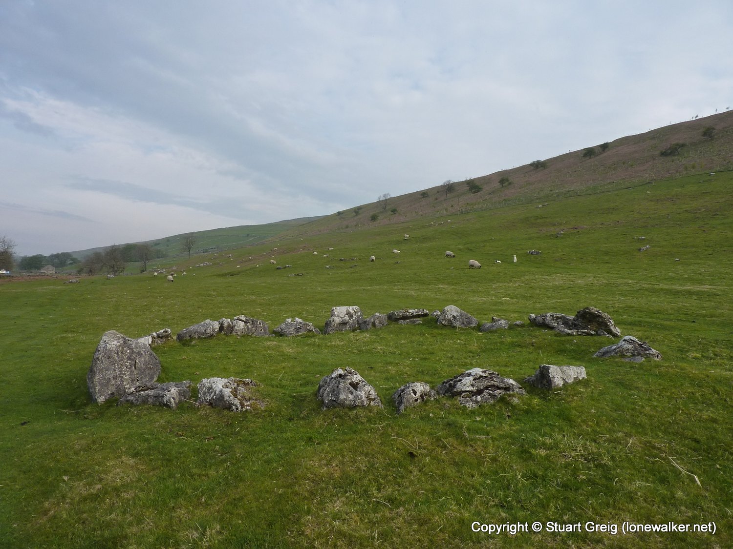
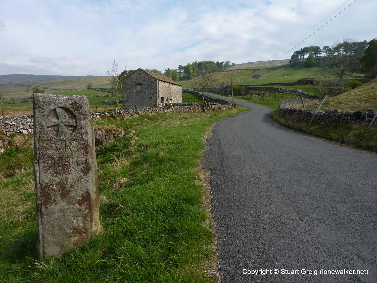
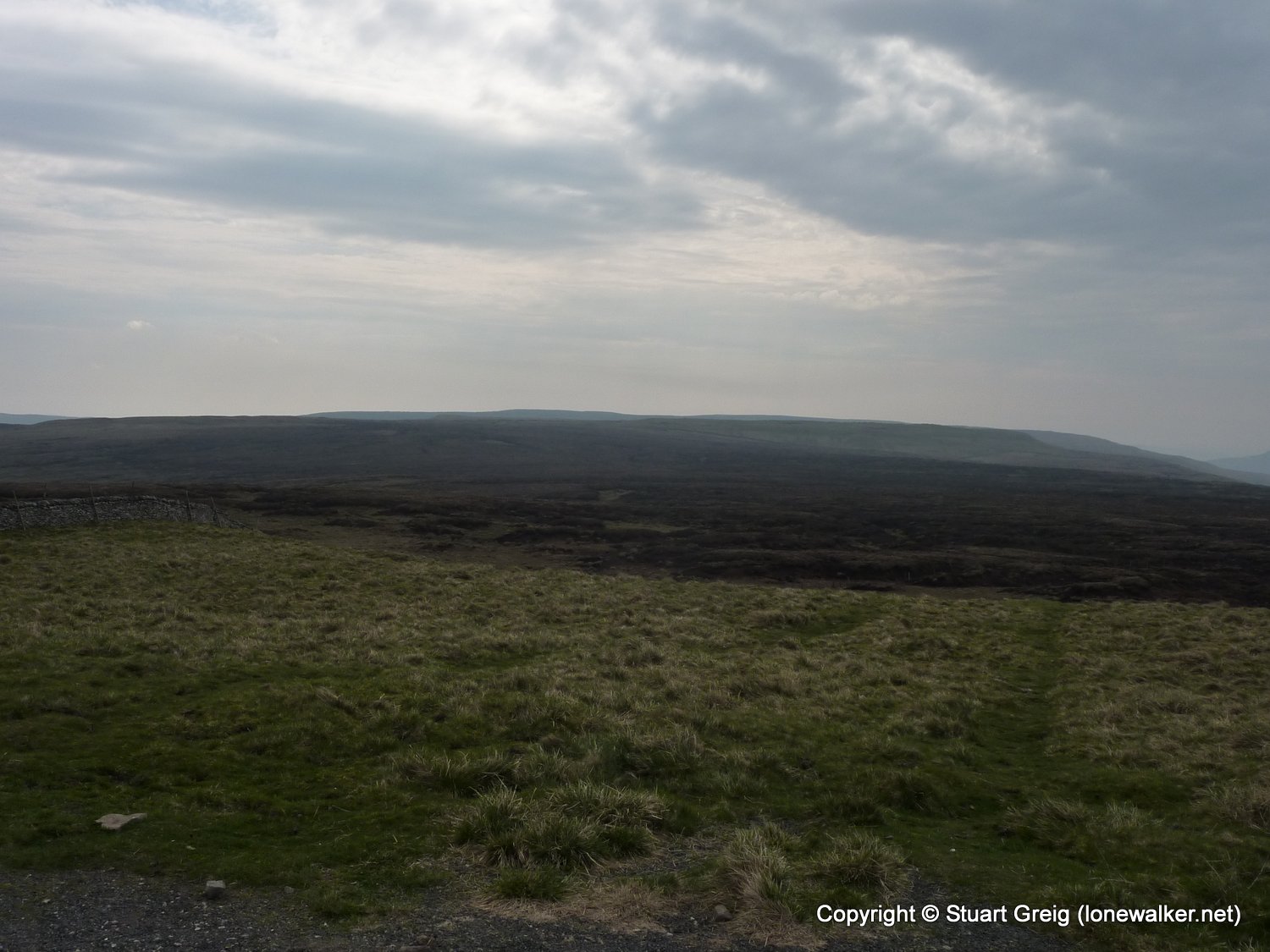
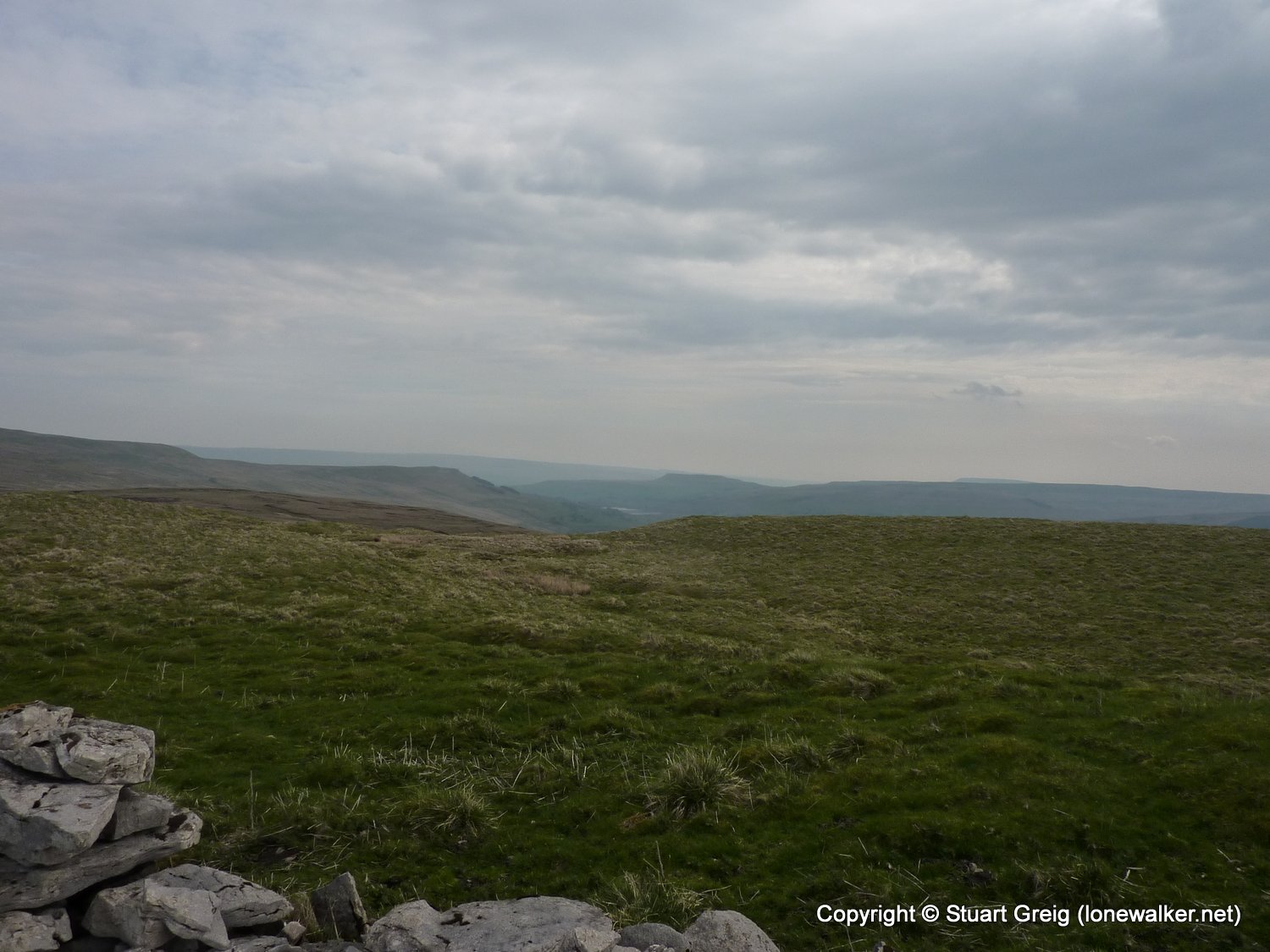
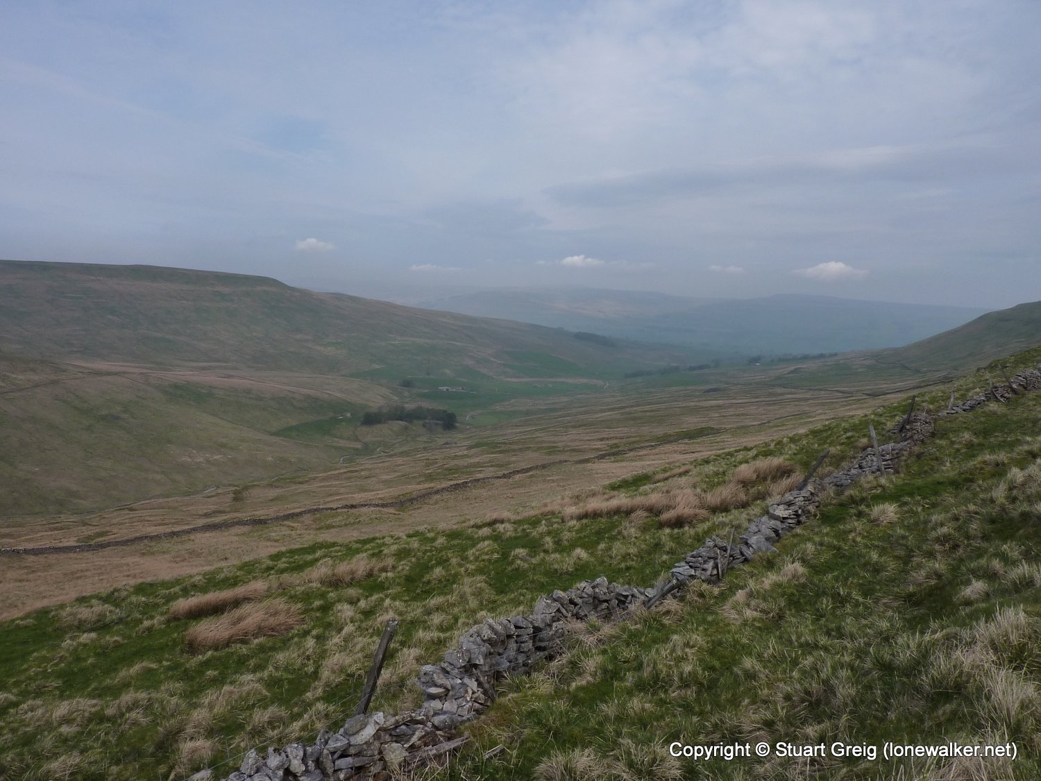
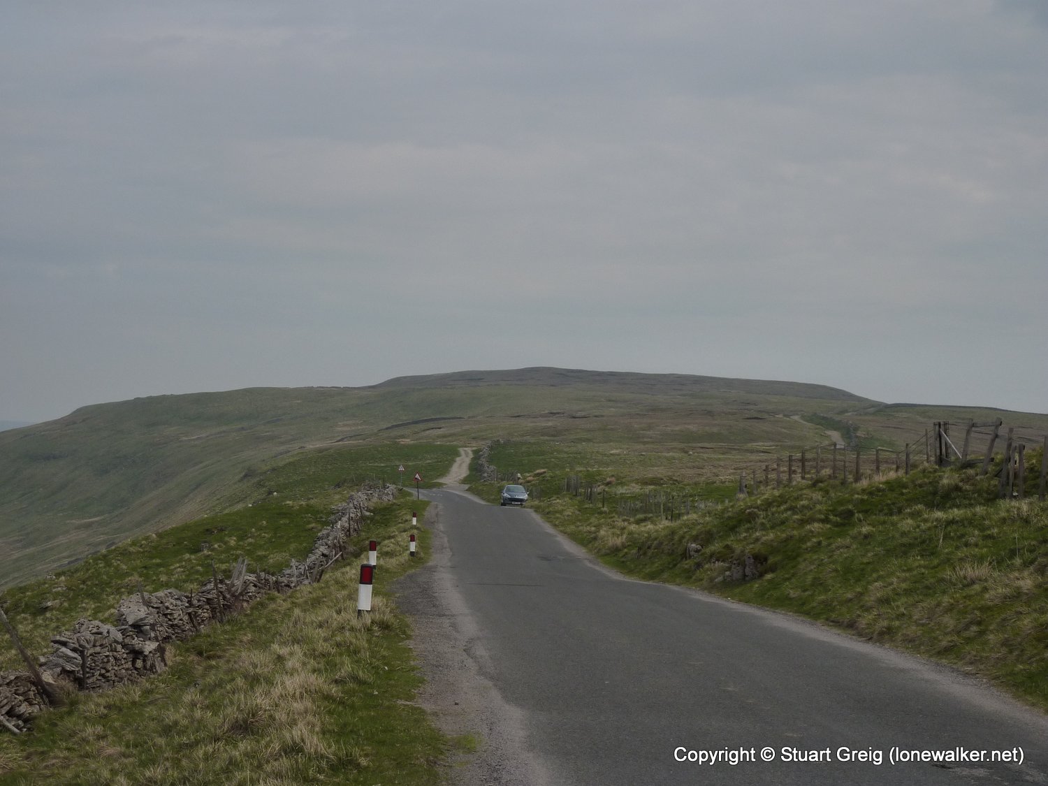
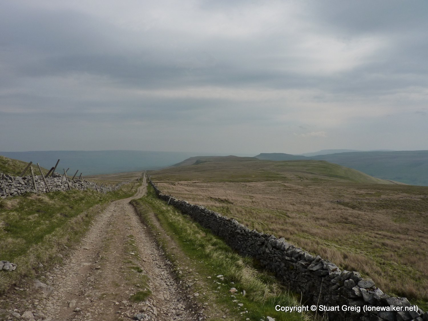
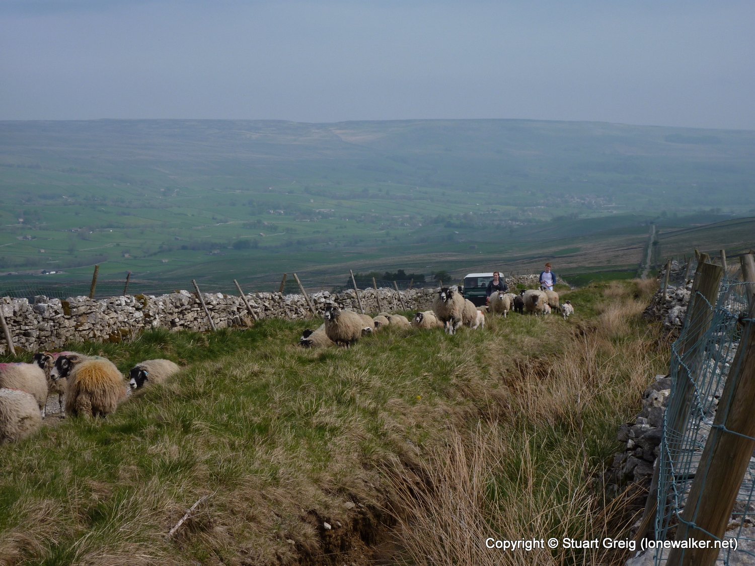
Region: Yorkshire Dales
Route Description: Buckden, Hubberholme, Yockenthwaite, Beckermonds, Oughtershaw, Oughtershaw Road, Cam High Road, Common Allotments, Bainbridge High pasture, Bainbridge, Askrigg
Parking Grid Ref:
View Parking space in: OS Map or Google Street View
Walking with: Alone
Long Distance Path:
Click any image to open the full screen photo gallery
Walk Name: Askrigg to Buckden
Date: 2011-04-22
Distance: 15.7 mls, 25.27 km
Height Gain: 2100 ft, 640.1 m
Walk Name: Buttermere to Keswick
Date: 2011-04-29
Distance: 10.0 mls, 16.09 km
Height Gain: 3600 ft, 1097.3 m