
Date: 2011-05-01
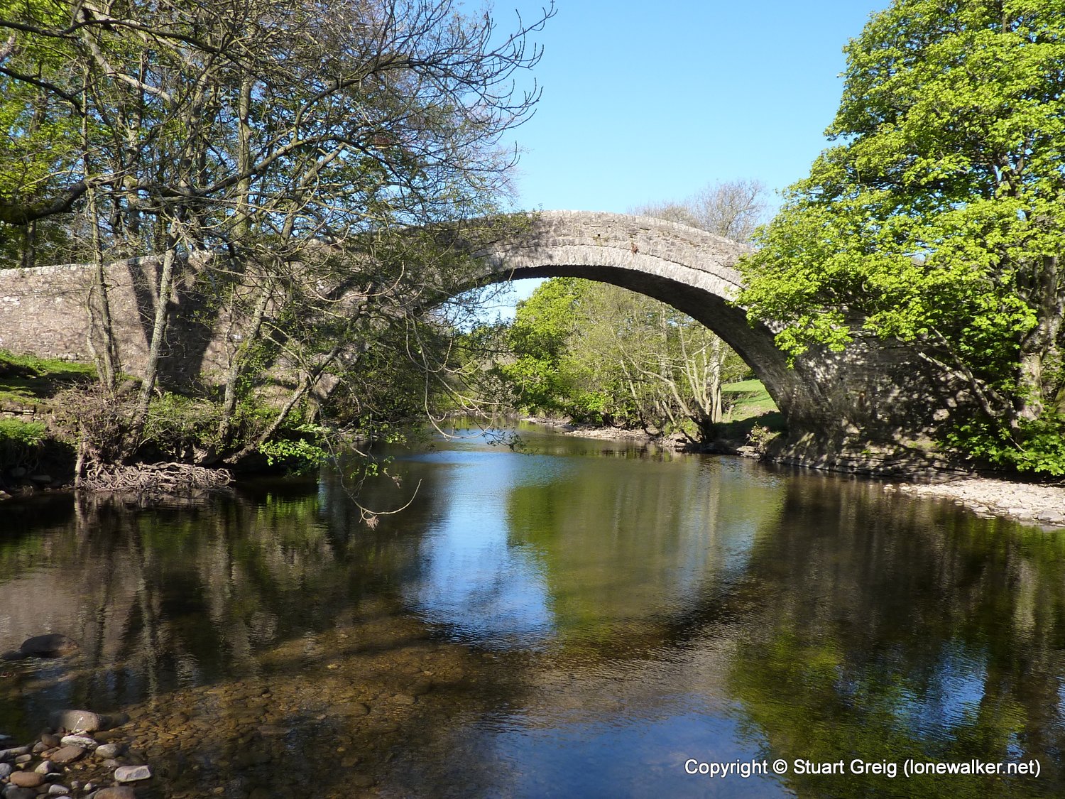
Start: Ivelet Bridge Finish: Ivelet Bridge
Distance: 4.8 mls, 7.72 km
Height Gain: 1000 ft, 304.8 m
Start Time: 09:05 End Time: 10:40
Duration: 01:35
Ave Speed: 3.0 mph
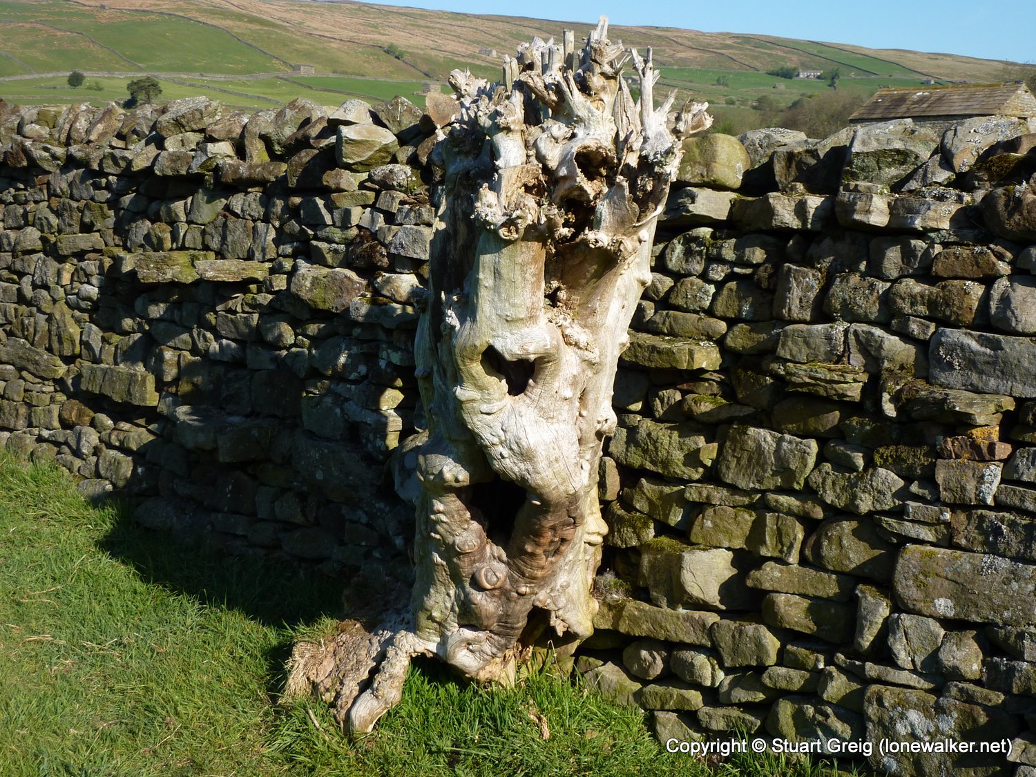
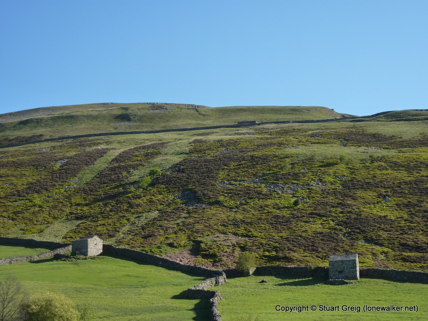
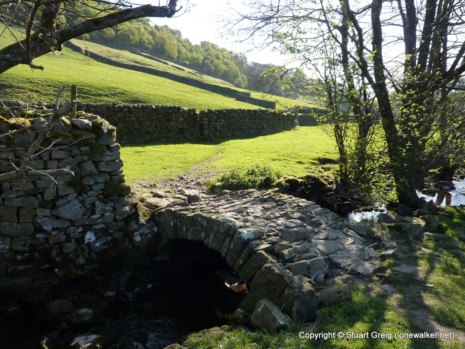
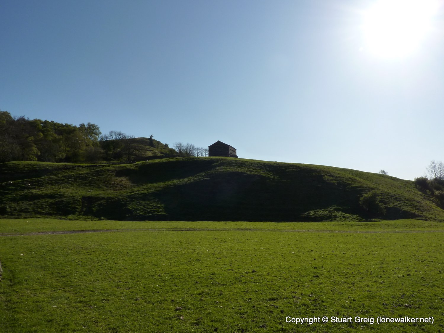
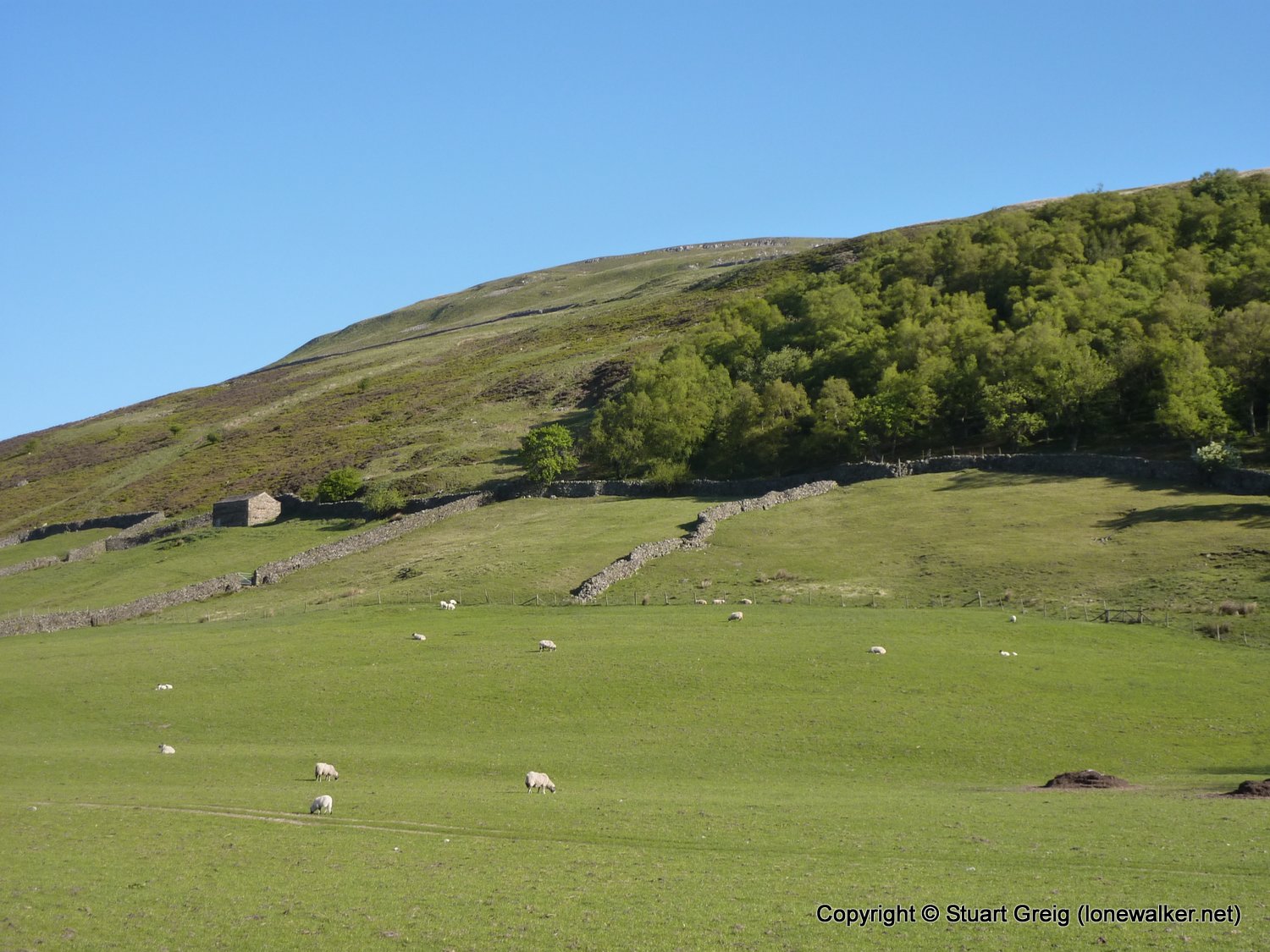
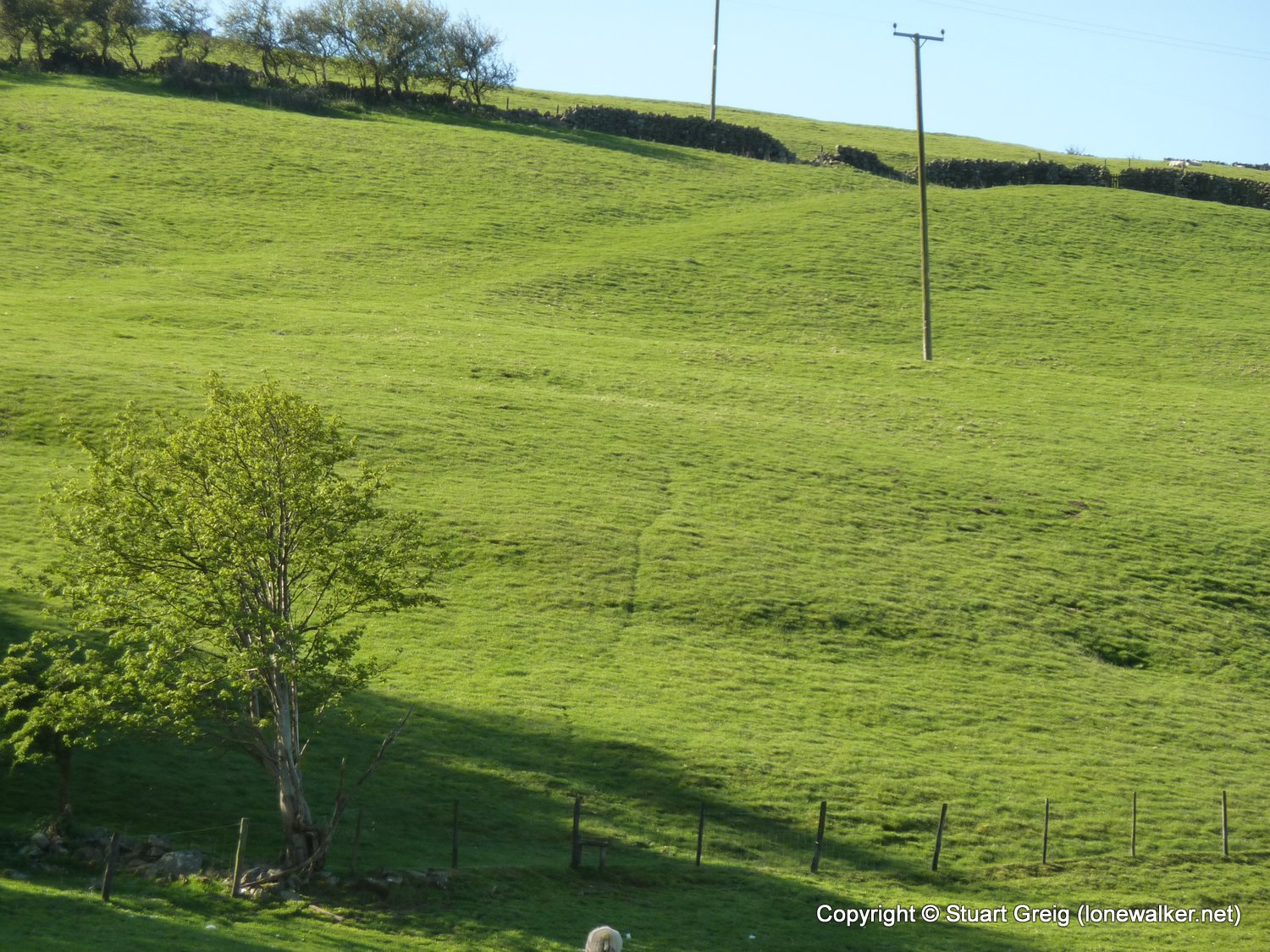
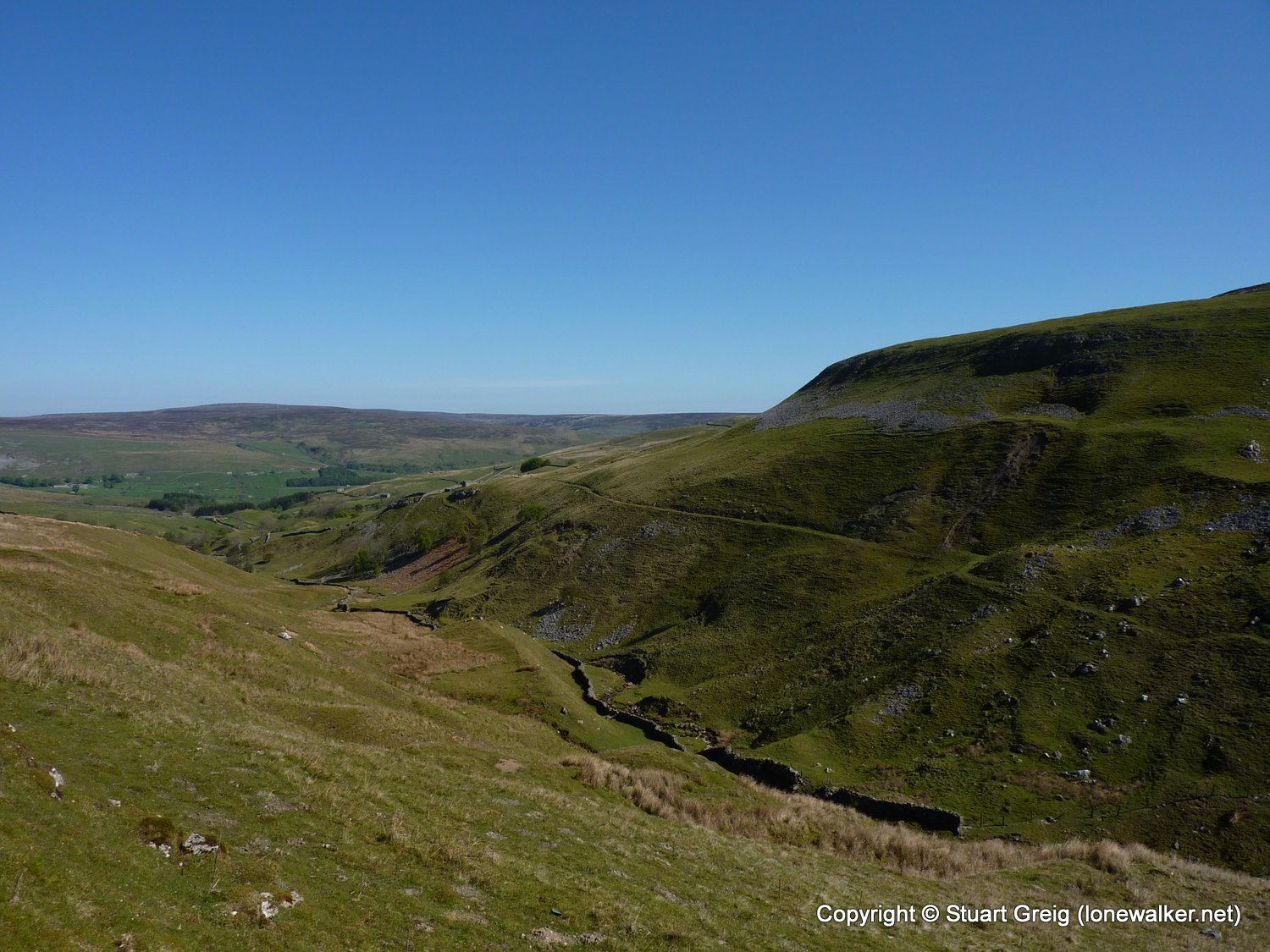
Region: Yorkshire Dales
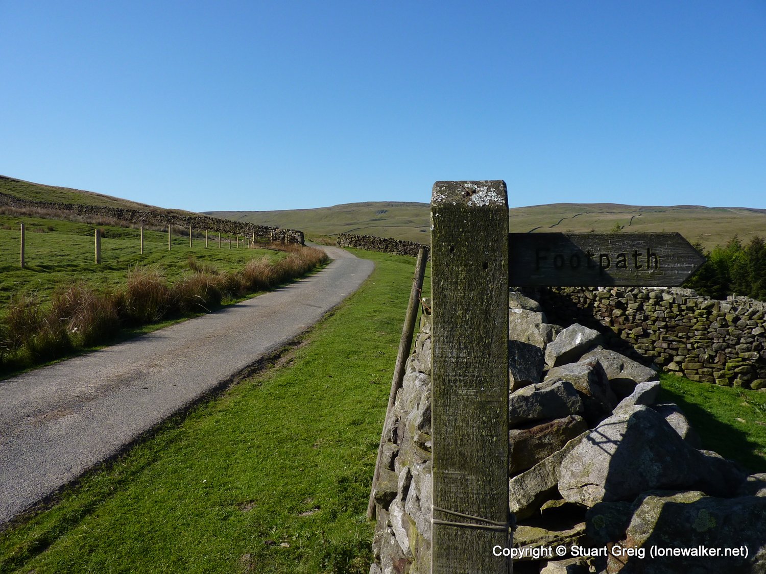
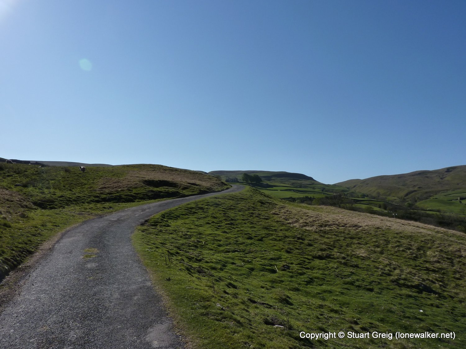
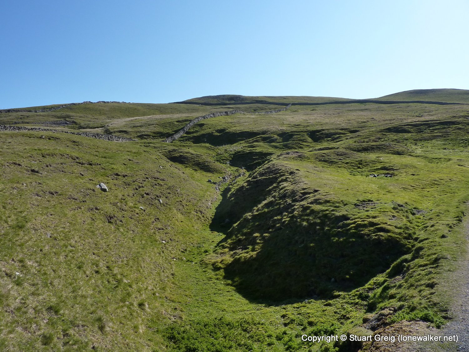
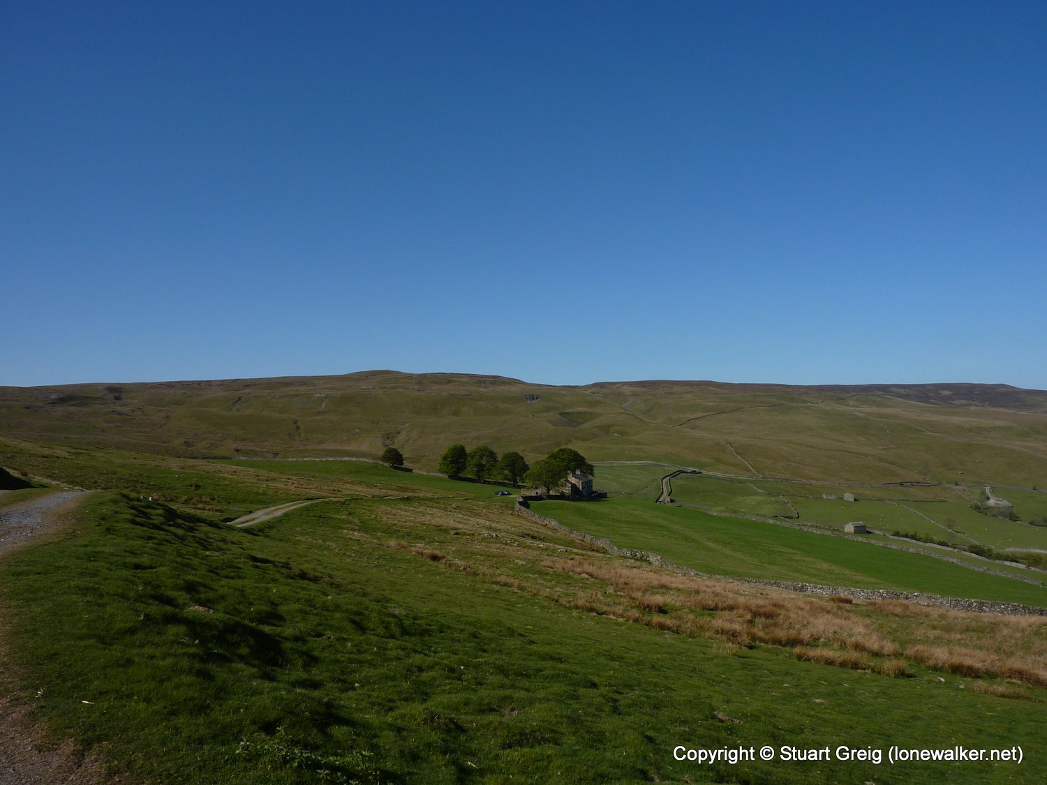
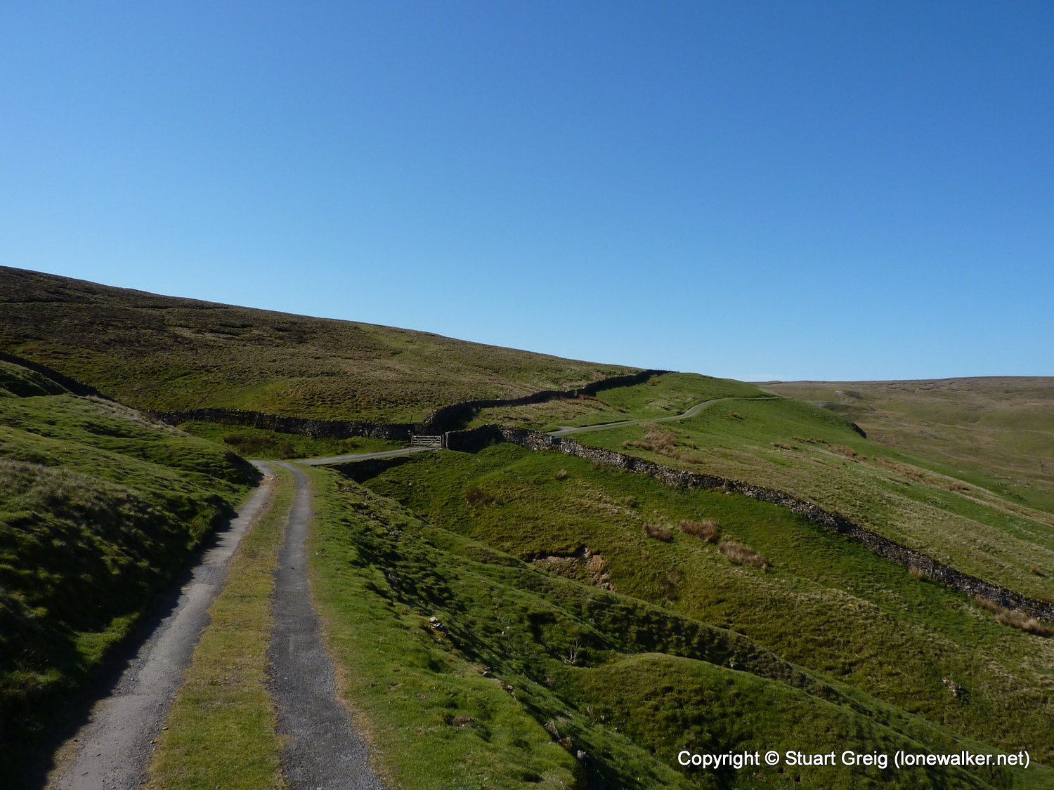
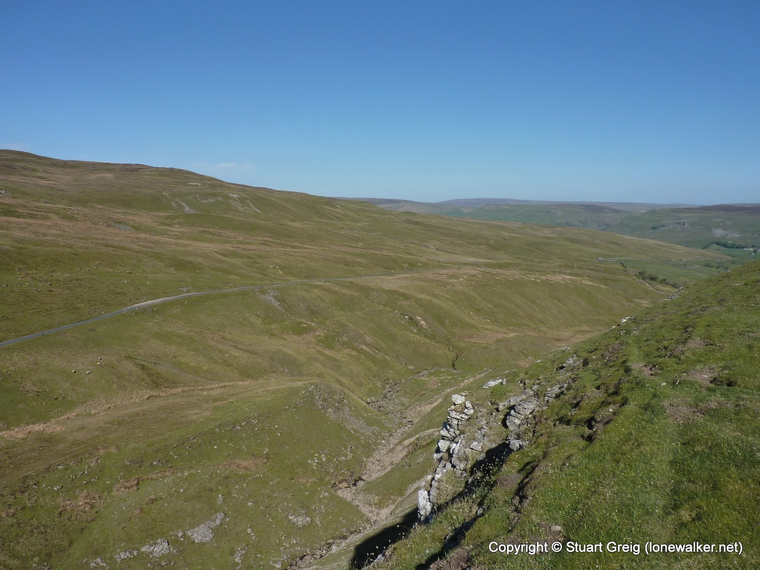
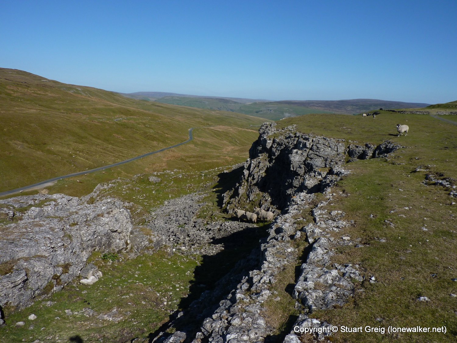
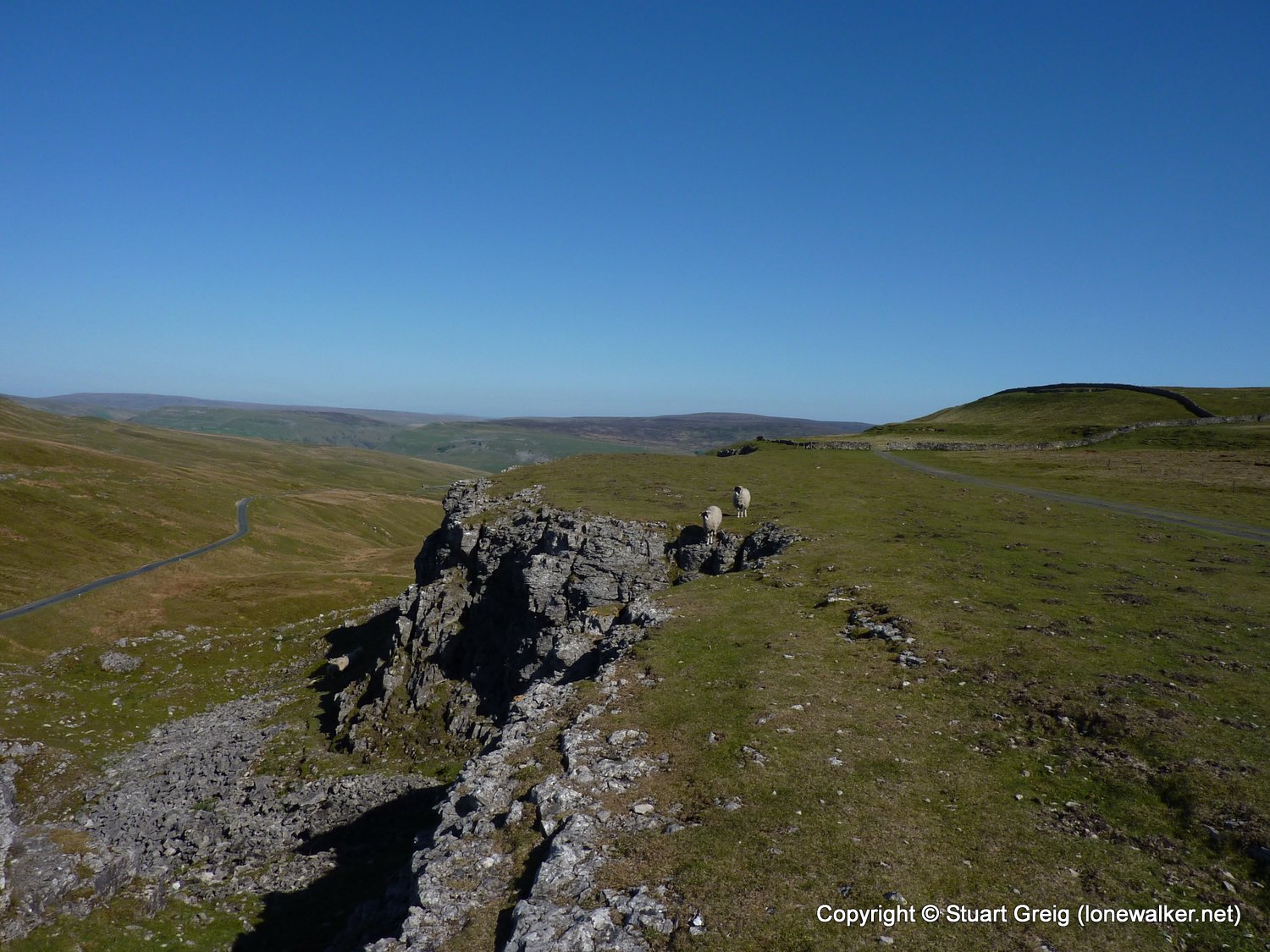
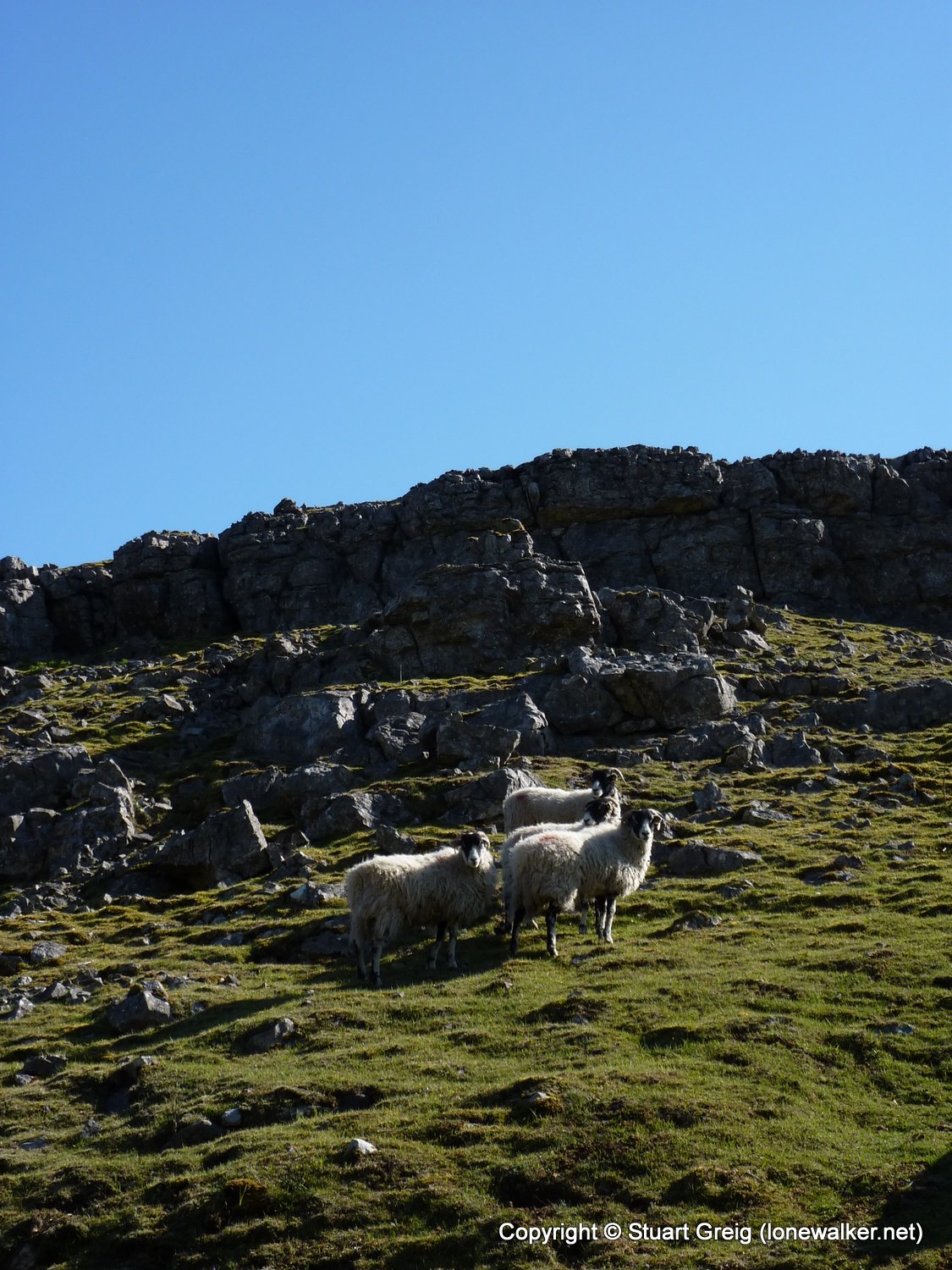
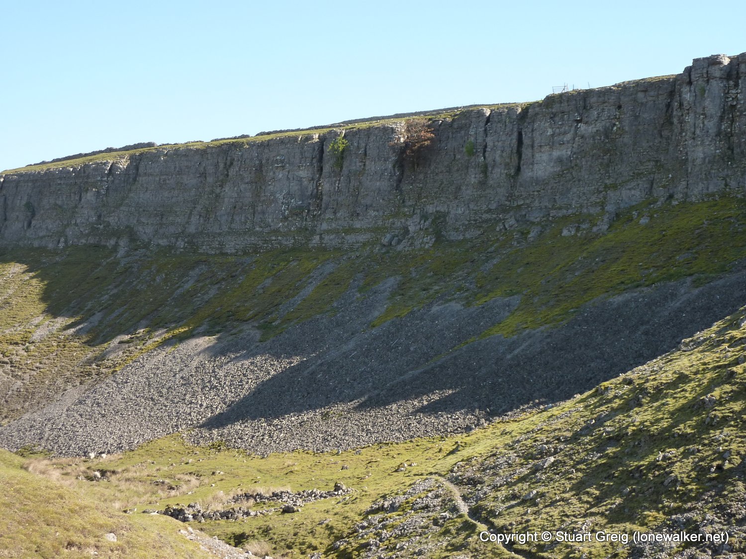
Route Description: Ivelet Bridge, Oxnop Bridge, Gill Head, Stotter Gill, Satron Moor, Oxnop Scar, Oxnop Beck Head, Snowden Gill, Keartons Wood, Ivelet Bridge
Parking Grid Ref: SD 93337 97648
View Parking space in: OS Map or Google Street View
Walking with: Alone
Long Distance Path:
Click any image to open the full screen photo gallery

Walk Name: Buttermere to Keswick
Date: 2011-04-29
Distance: 10.0 mls, 16.09 km
Height Gain: 3600 ft, 1097.3 m
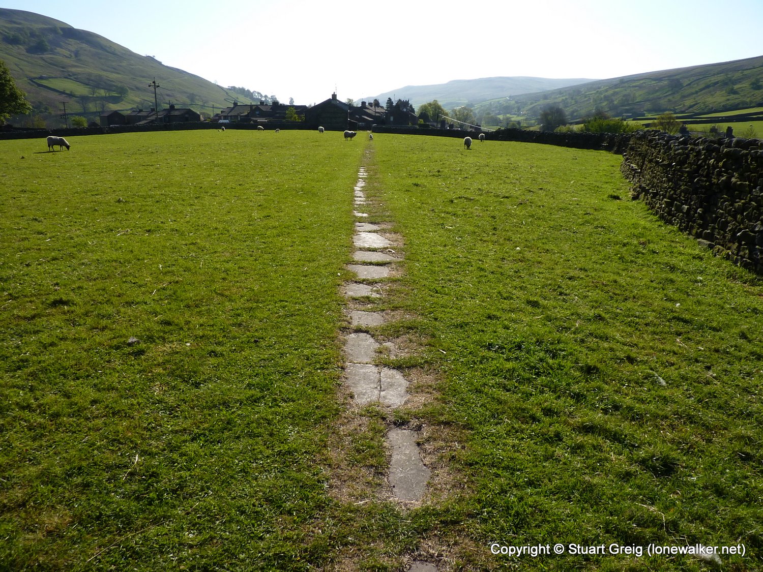
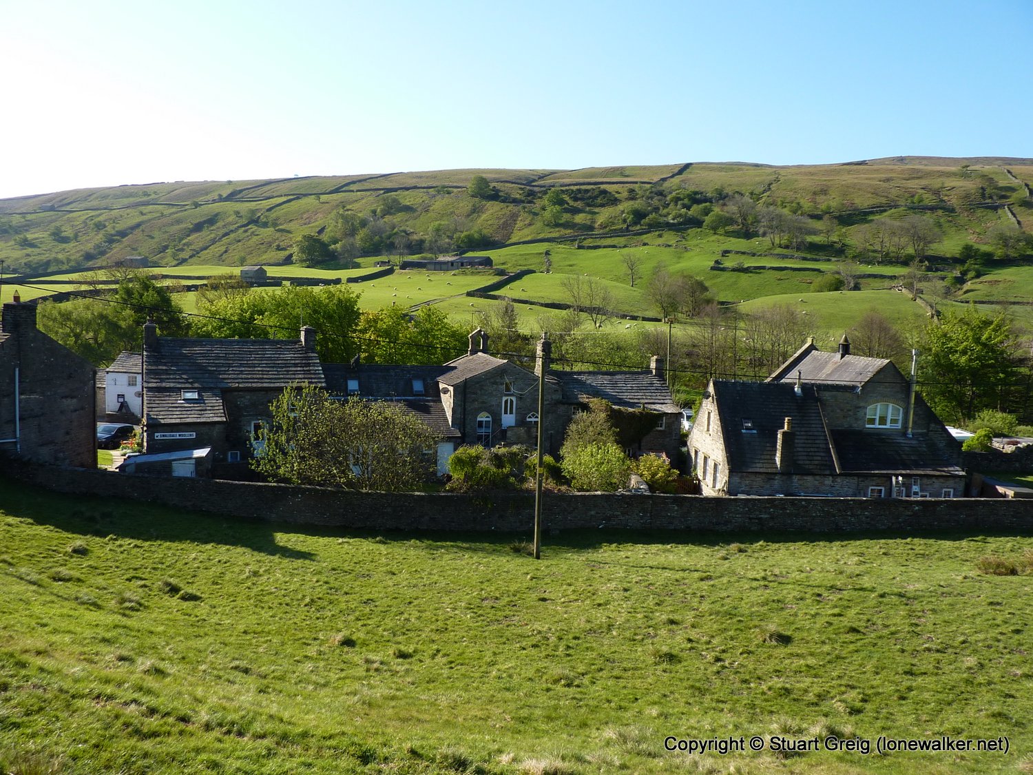
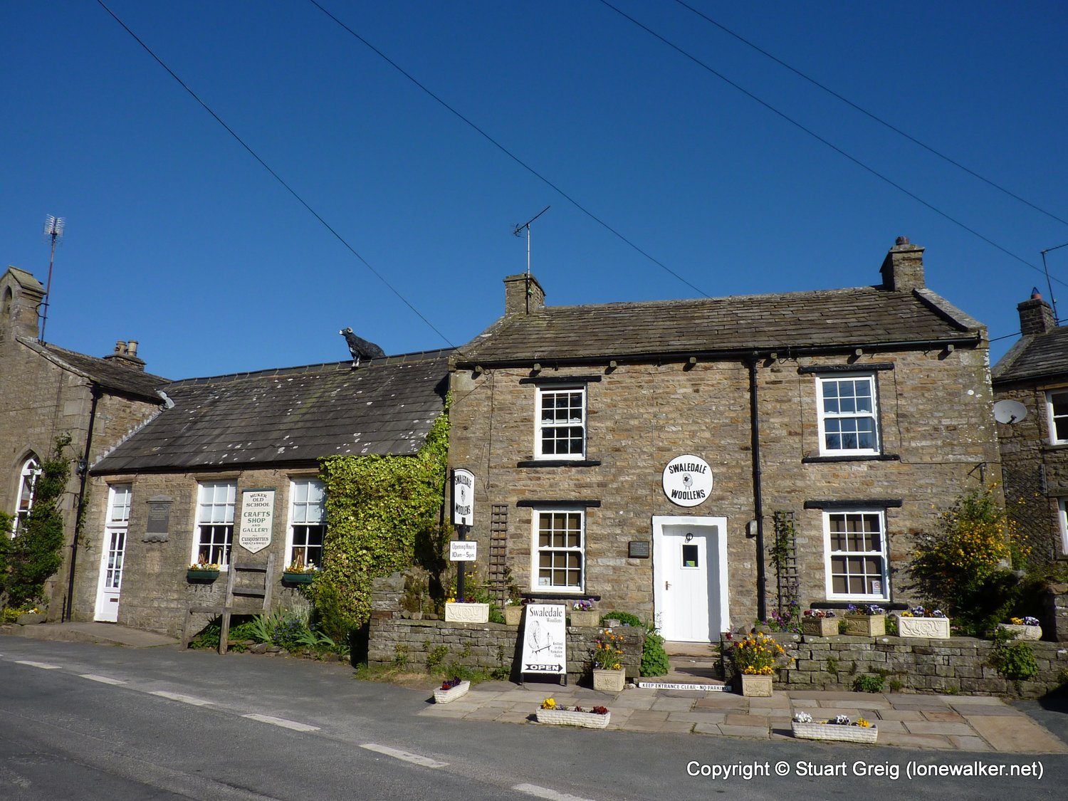
Walk Name: Thwaite to Muker
Date: 2011-05-01
Distance: 2.2 mls, 3.54 km
Height Gain: 150 ft, 45.7 m