
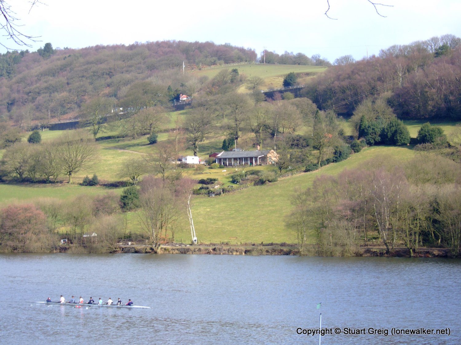
Date: 2006-03-11
Start: Rudyard Res Finish: Rudyard Res
Distance: 10.5 mls, 16.90 km
Height Gain: 1400 ft, 426.7 m
Start Time: 07:55 End Time: 10:38
Duration: 02:43
Ave Speed: 3.9 mph
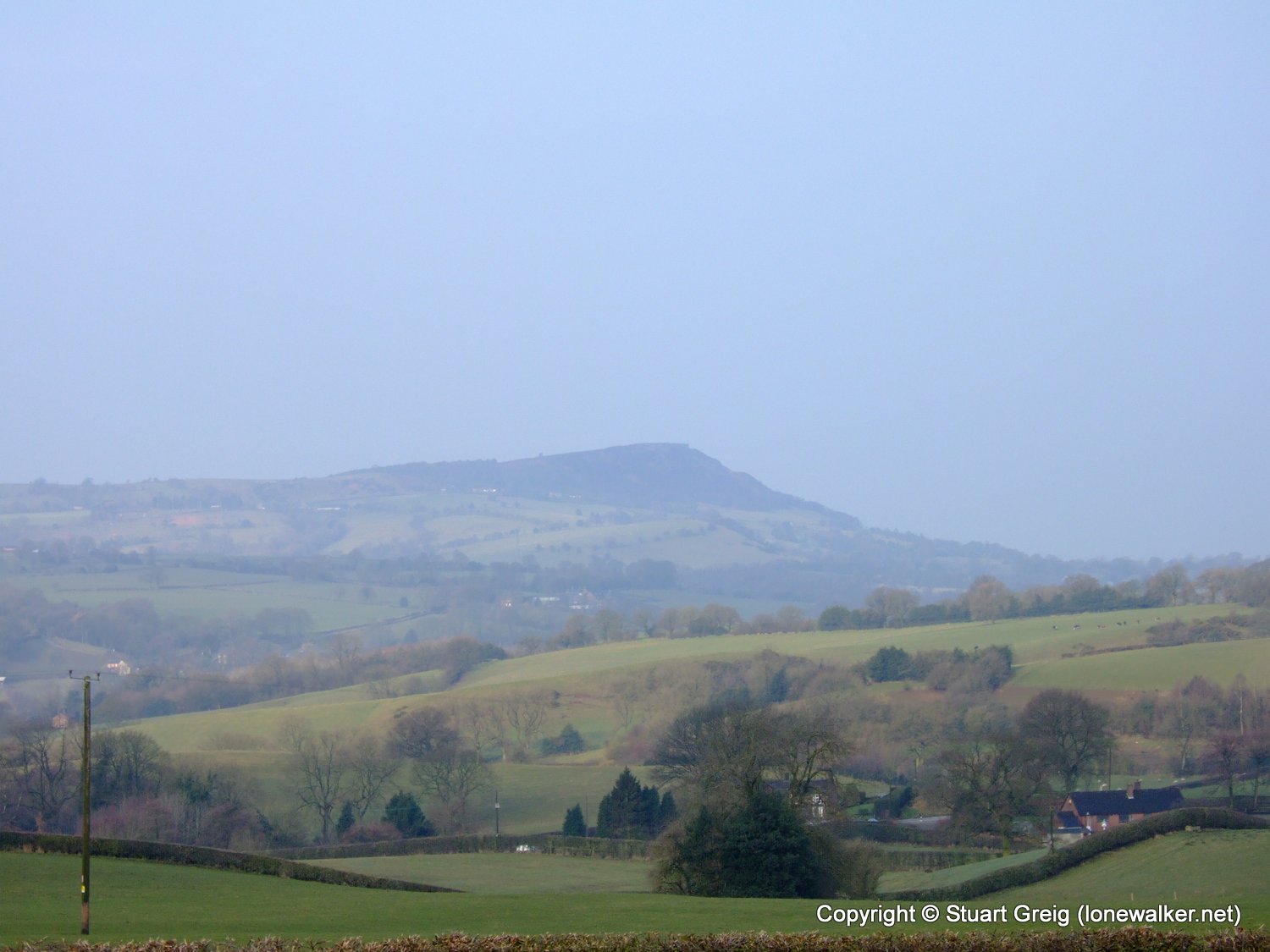
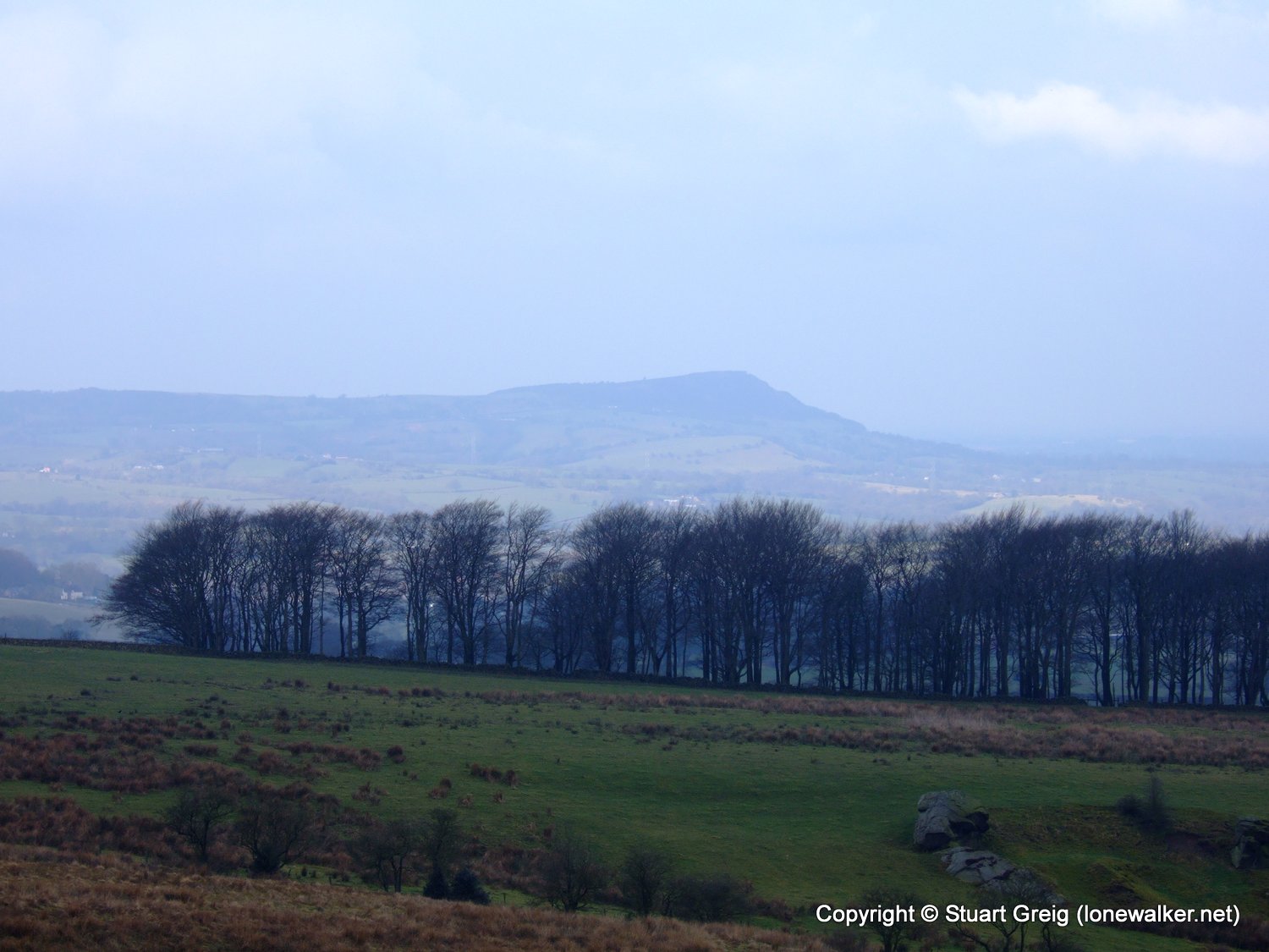
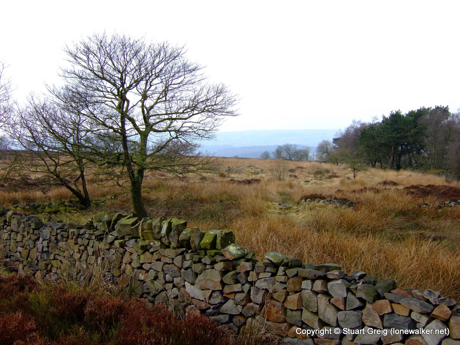
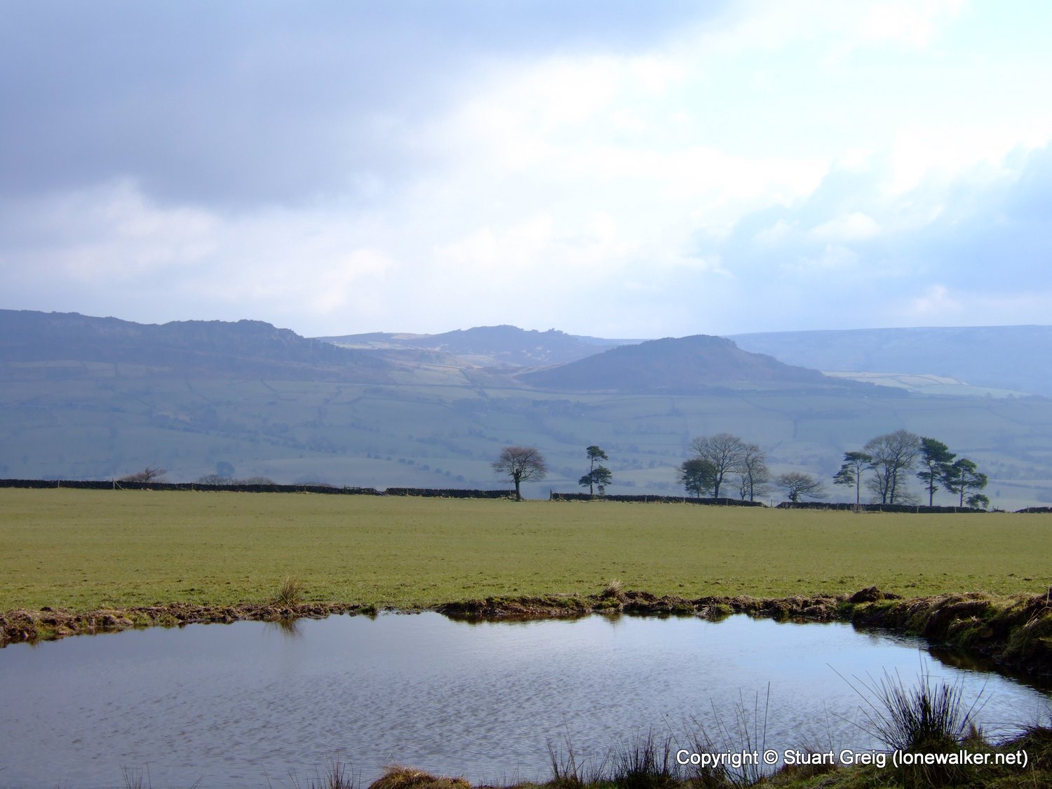
Region: Peak District
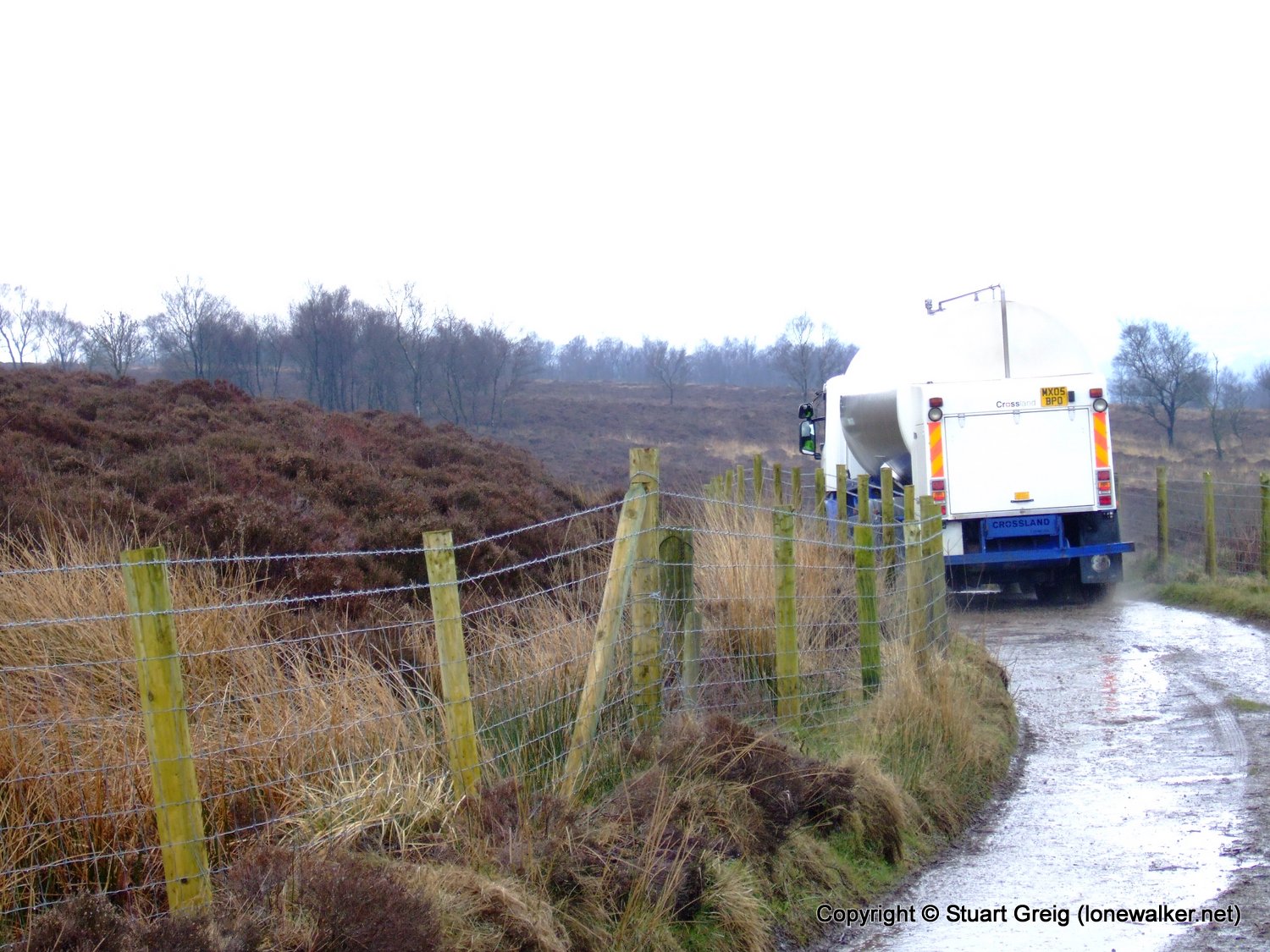
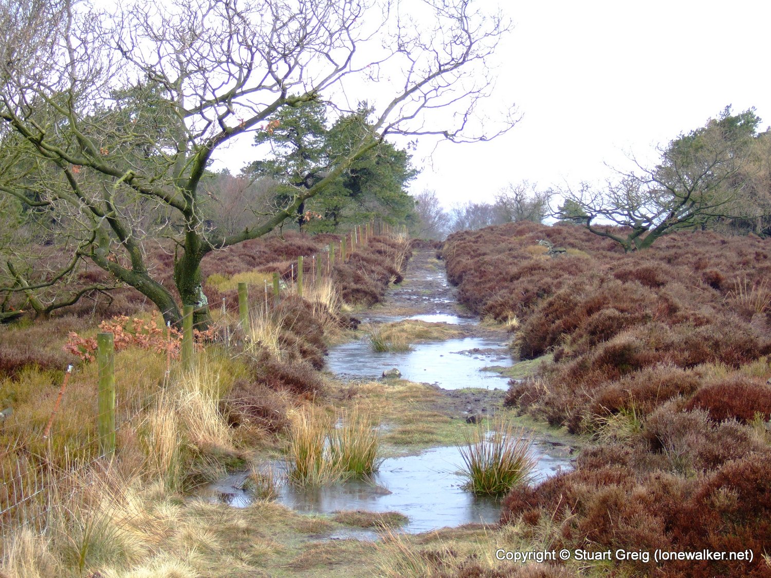
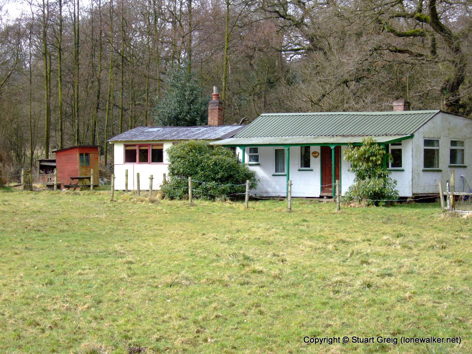
Route Description: Rudyard Res, Rushton Spencer, Gun End House, Gun, Fould, Rudyard Res
Parking Grid Ref: SJ 93917 61130
View Parking space in: OS Map or Google Street View
Walking with: Alone
Long Distance Path:
2823 - Gun (1263 ft)
TP3538 - Gun (Slightly damaged condition)
Click any image to open the full screen photo gallery


Walk Name: White Nancy & Nab Head
Date: 2006-03-05
Distance: 12.5 mls, 20.12 km
Height Gain: 2400 ft, 731.5 m
Walk Name: The Roaches & Lud's Church
Date: 2006-03-12
Distance: 10.5 mls, 16.90 km
Height Gain: 1900 ft, 579.1 m