
Date: 2011-05-19
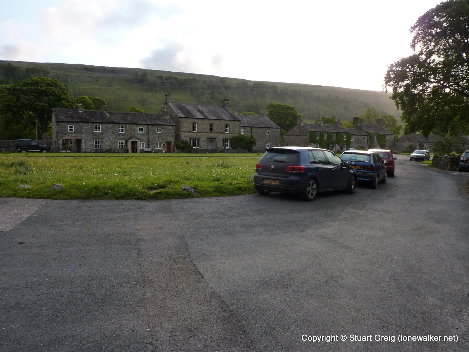
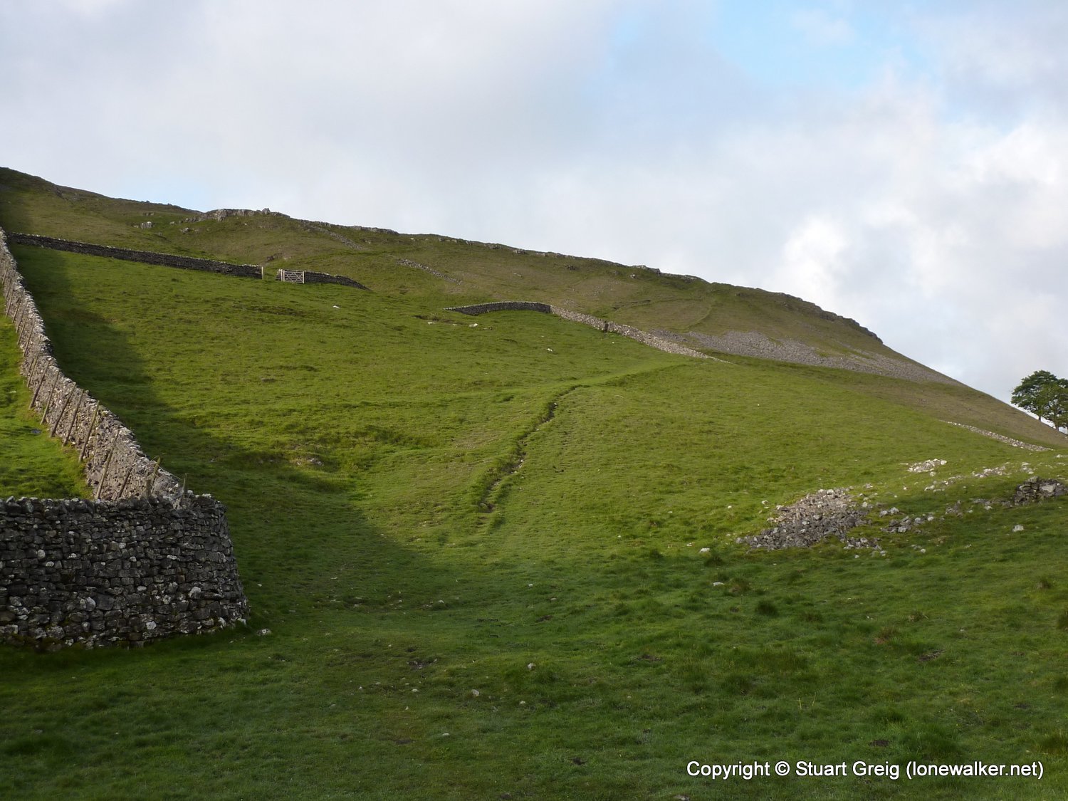
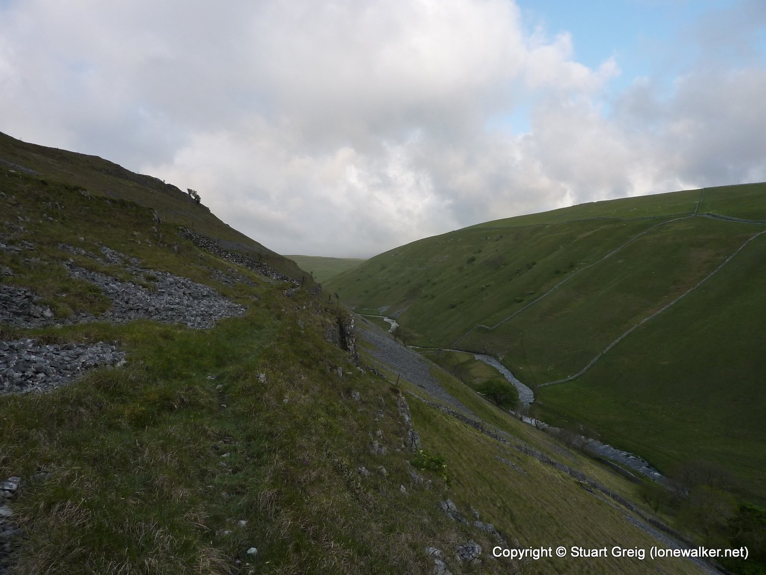
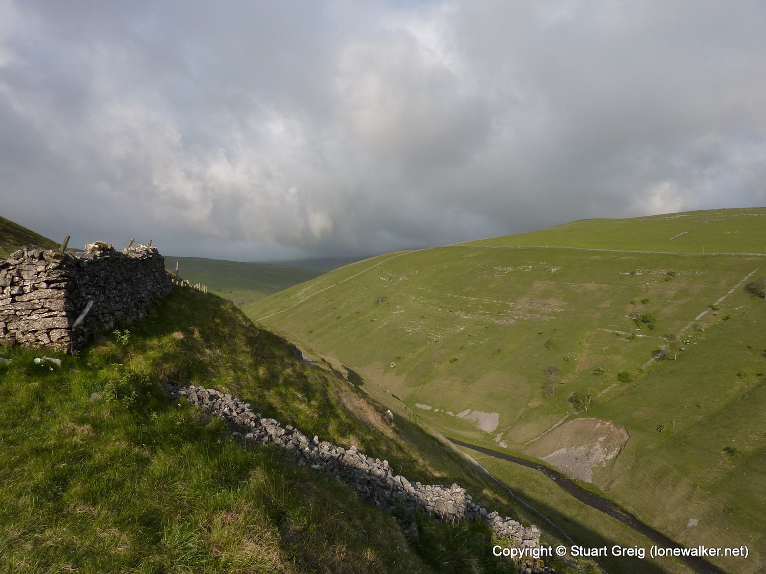
Start: Arncliffe Finish: Arncliffe
Distance: 7.0 mls, 11.27 km
Height Gain: 1200 ft, 365.8 m
Start Time: 06:56 End Time: 09:26
Duration: 02:30
Ave Speed: 2.8 mph
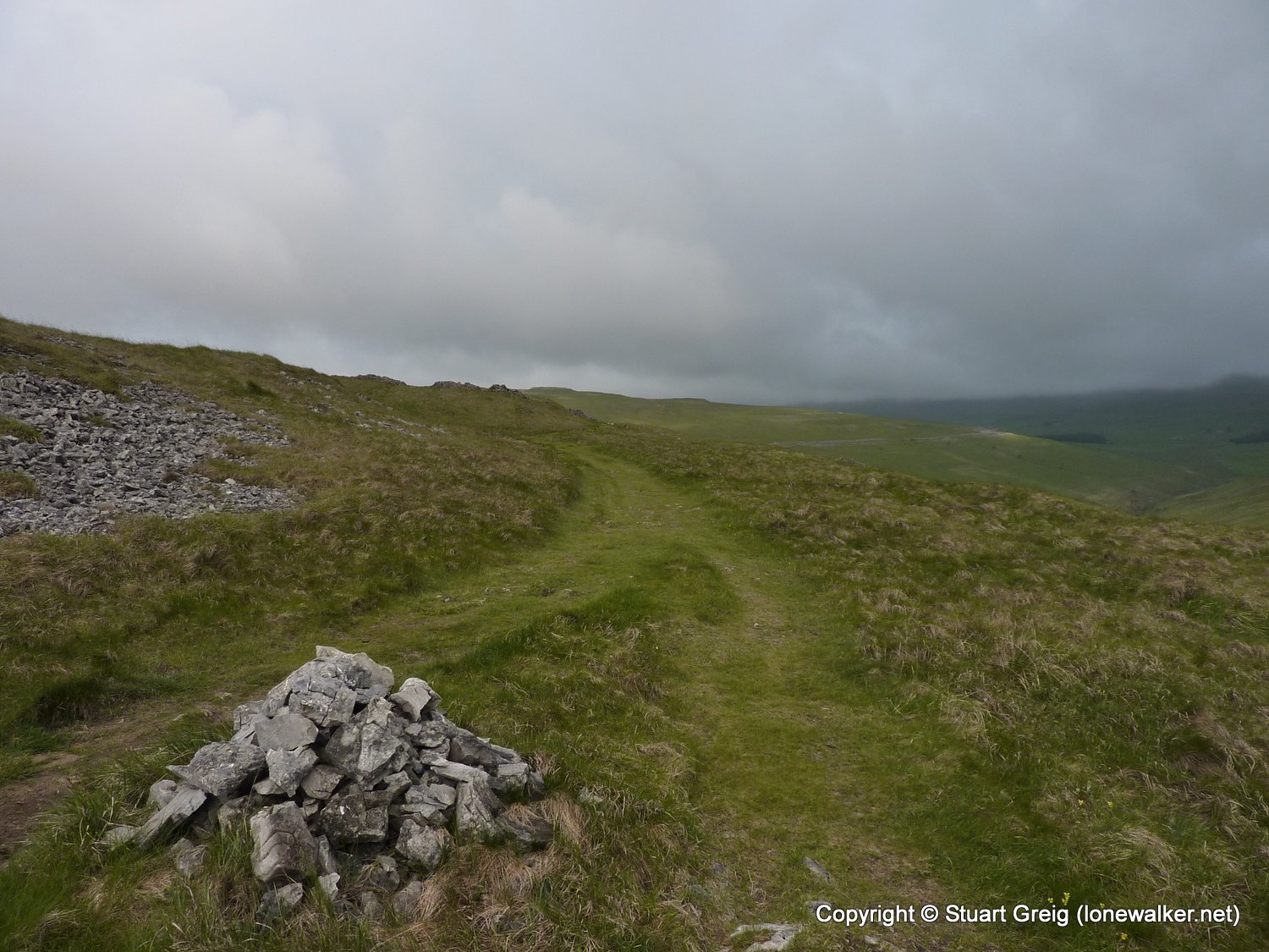
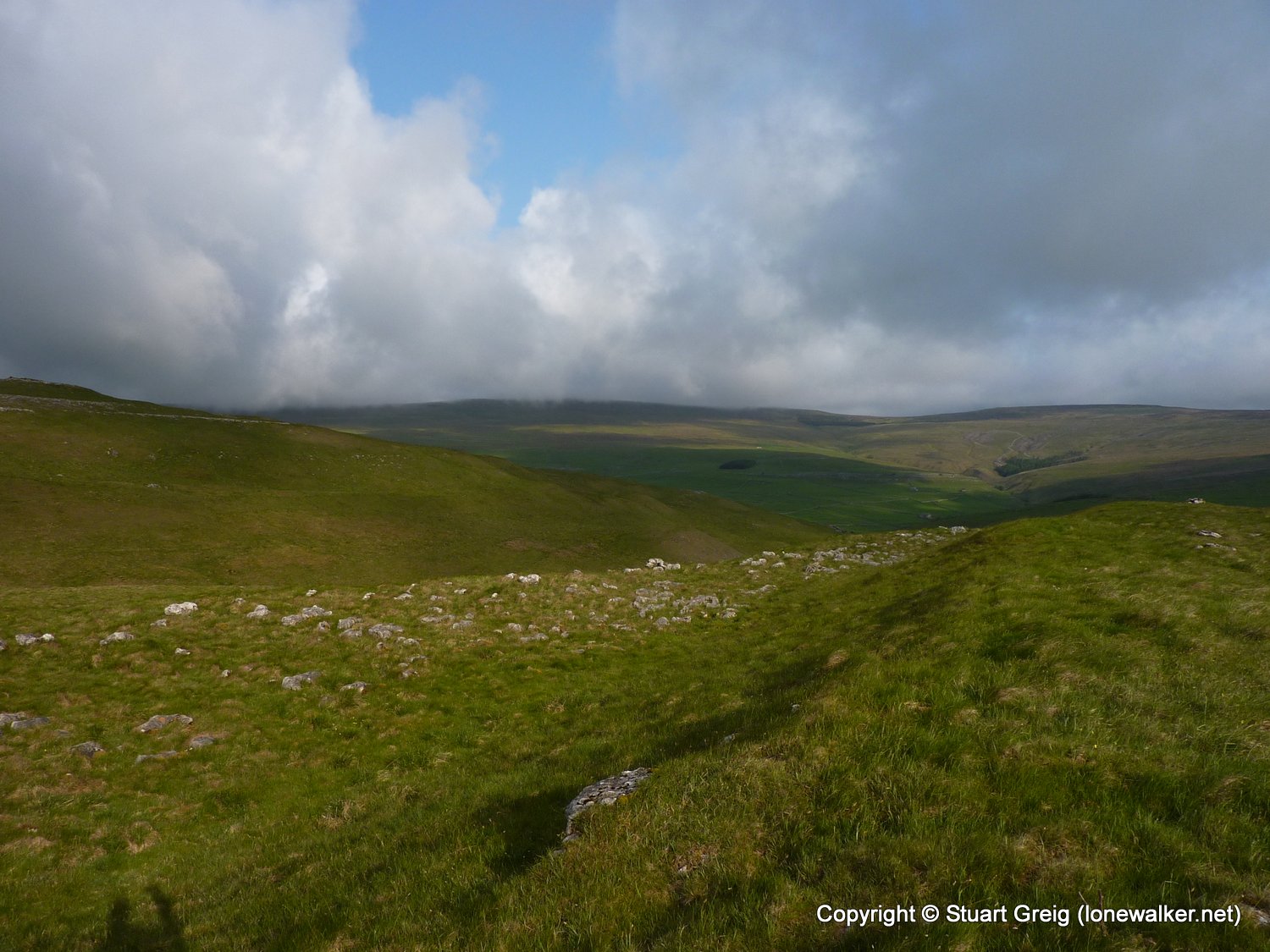
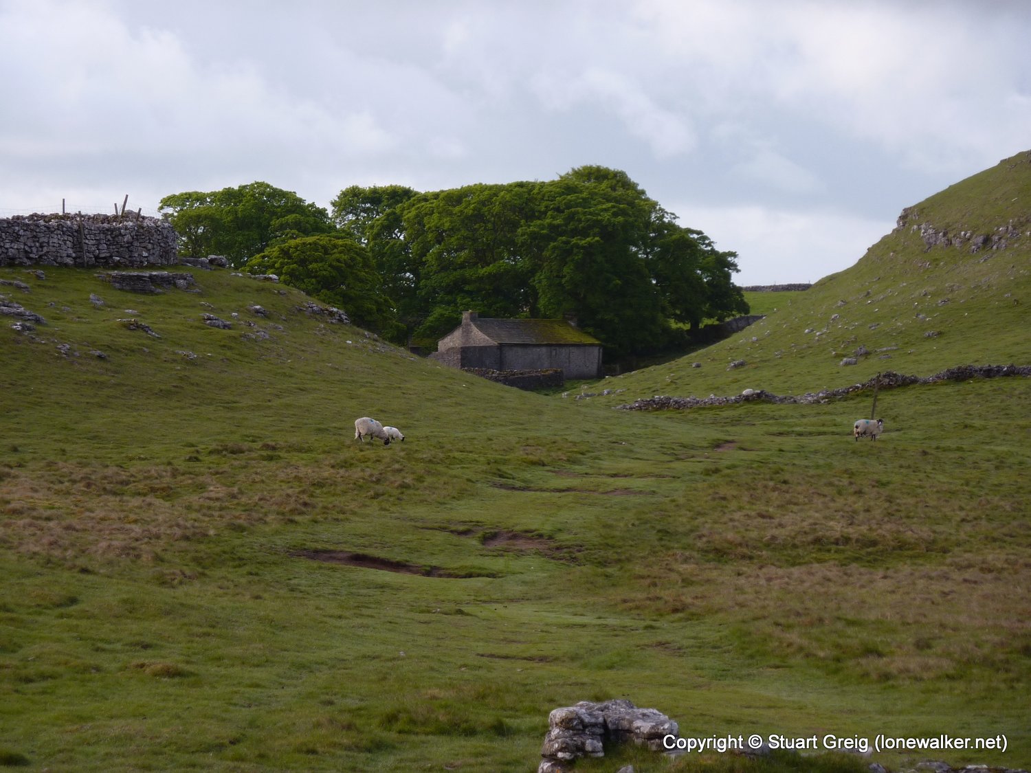
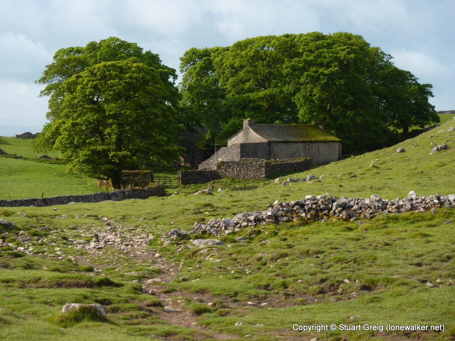
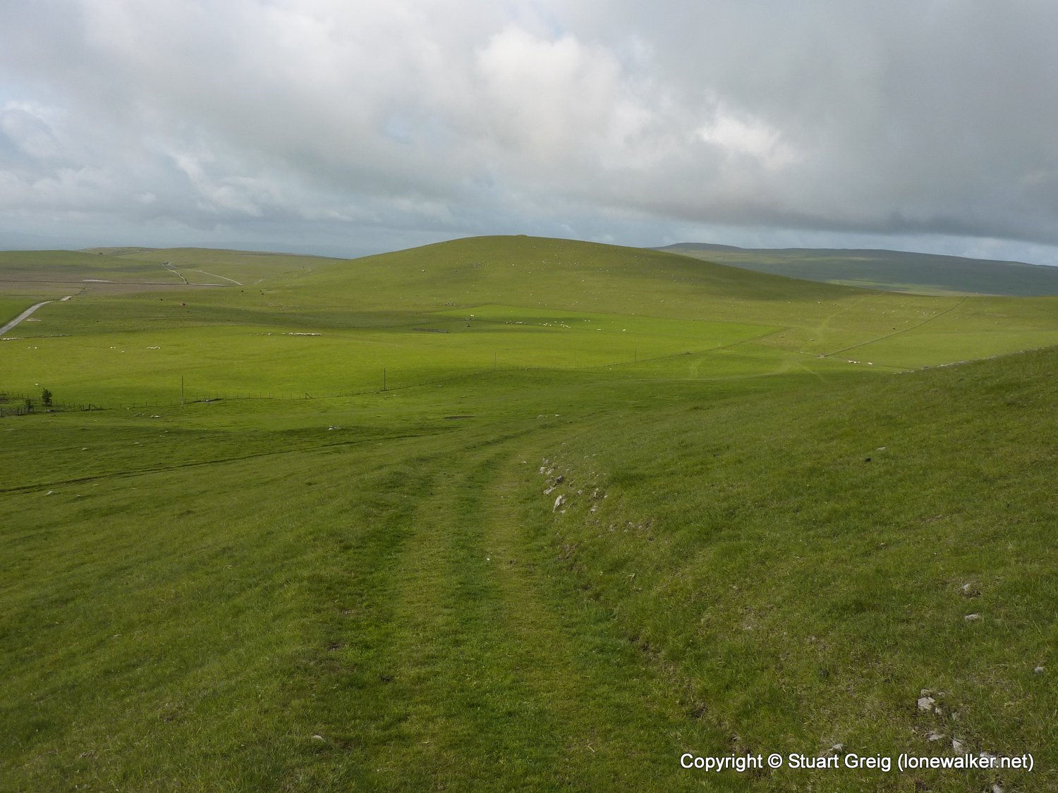
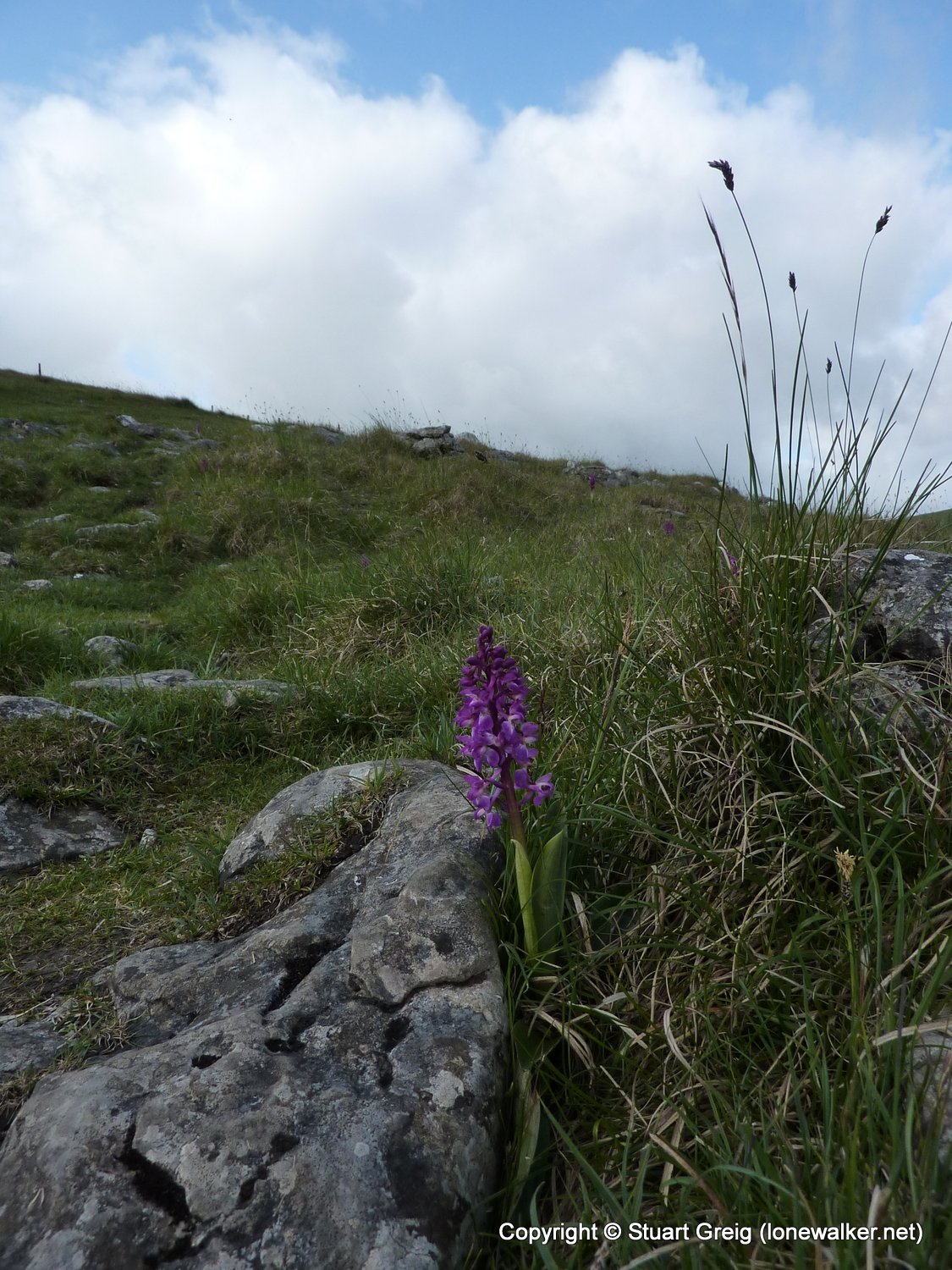
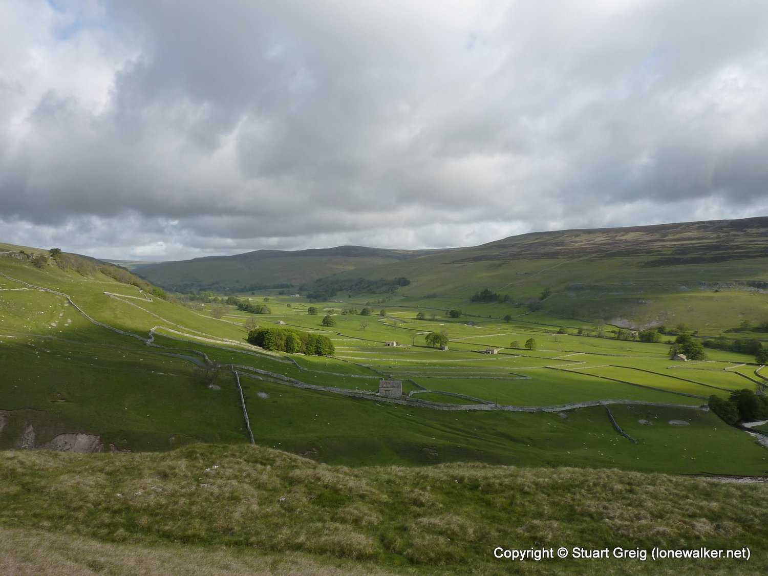
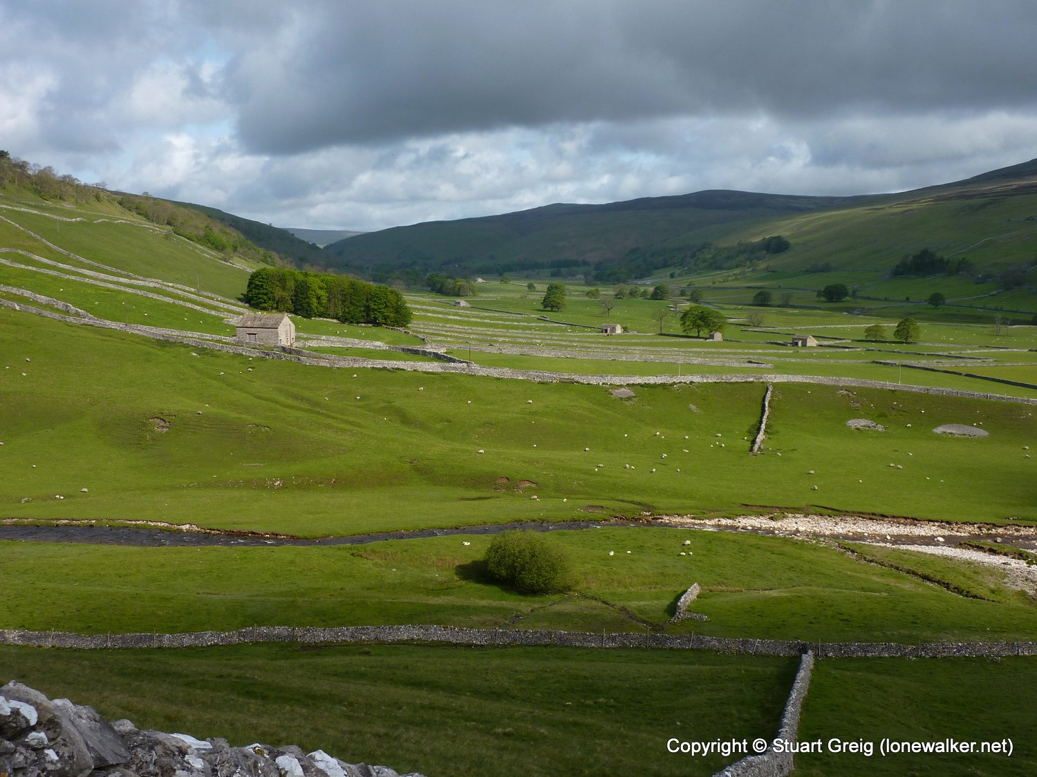
Region: Yorkshire Dales
Route Description: Arncliffe, Monks Road, Dew Bottoms, Middle House, Middle House Farm, return
Parking Grid Ref: SD 93118 71812
View Parking space in: OS Map or Google Street View
Walking with: Alone
Long Distance Path:
Click any image to open the full screen photo gallery

Walk Name: Hubberholme to Horse Head
Date: 2011-05-18
Distance: 5.7 mls, 9.17 km
Height Gain: 1400 ft, 426.7 m
Walk Name: Edale to Hadfield
Date: 2011-05-21
Distance: 19.0 mls, 30.58 km
Height Gain: 2800 ft, 853.4 m