
Date: 2011-05-28
Start: Buckmoorend Finish: Ivinghoe Beacon
Distance: 16.0 mls, 25.75 km
Height Gain: 1800 ft, 548.6 m
Start Time: 08:06 End Time: 13:41
Duration: 05:35
Ave Speed: 2.9 mph
Region: Southern England
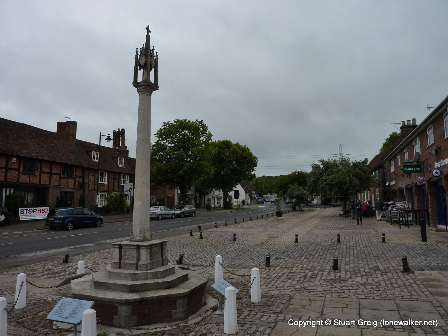
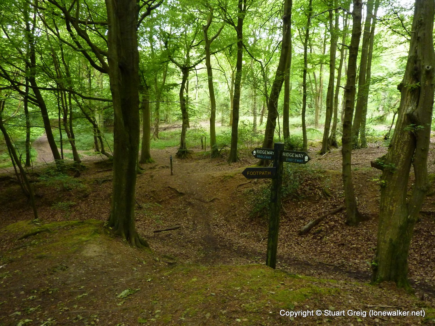
Route Description: Buckmoorend, Coombe Hill, Bacombe Hill, Wendover, Barn Wood, Pavis Wood, Dunsley Farm, Wesland Farm, Pitstone Hill, Ivinghoe Beacon, Beacon Hill
Parking Grid Ref: SP 84610 04930
View Parking space in: OS Map or Google Street View
Walking with: Alex Watson
Long Distance Path: Ridgeway
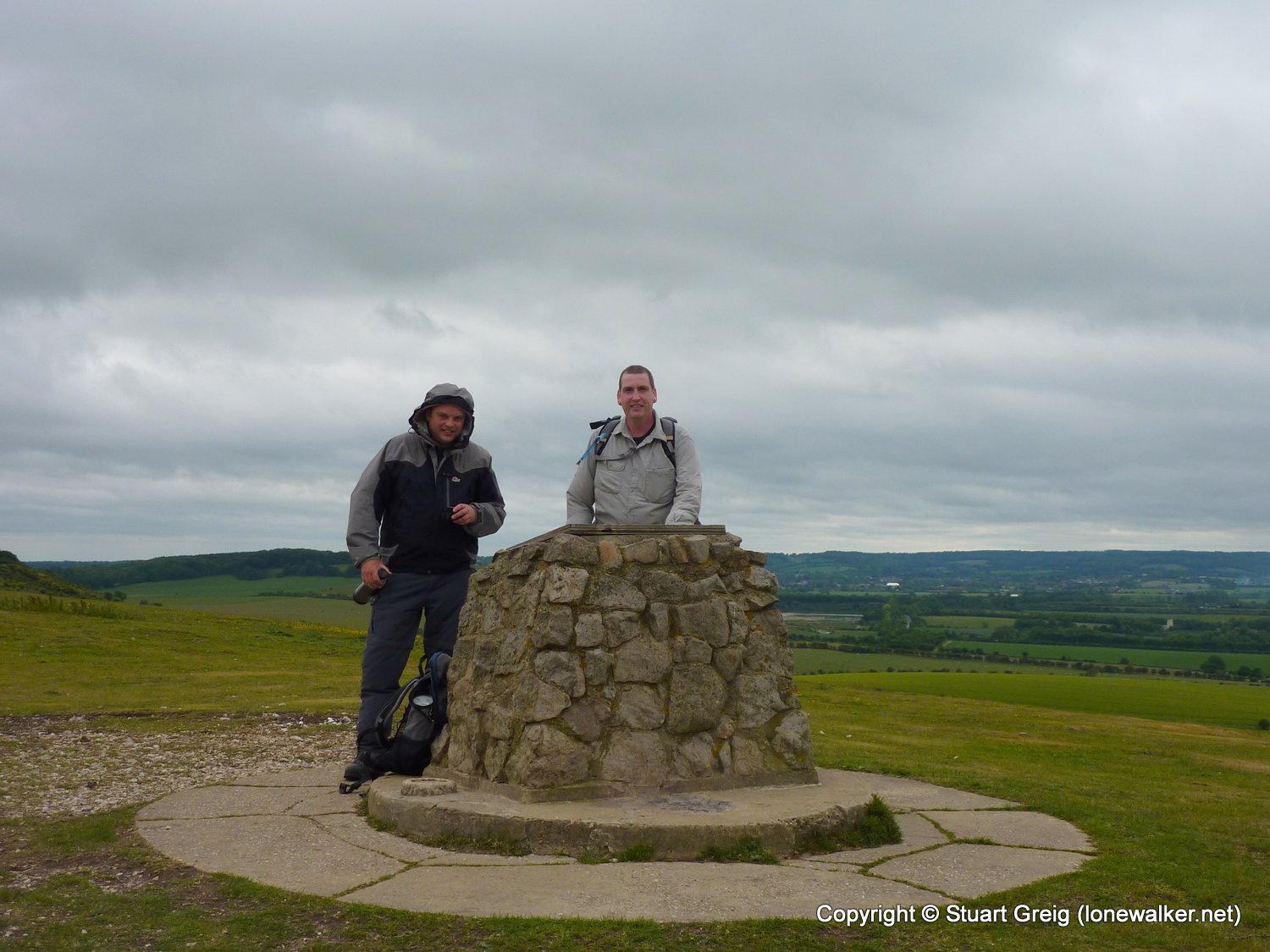
5385 - Coombe Hill (853 ft)
5387 - Clipper Down (817 ft)
5462 - Pavis Wood (801 ft)
TP1099 - Beacon Hill (Slightly damaged condition)
TP2233 - Clipper Down (Good condition)
TP2931 - Dunsley Farm (Good condition)
TP4899 - Monument Hill (Remains condition)
Click any image to open the full screen photo gallery


Walk Name: Littondale
Date: 2011-05-24
Distance: 10.0 mls, 16.09 km
Height Gain: 600 ft, 182.9 m
Walk Name: Settle from Malham
Date: 2011-05-30
Distance: 12.5 mls, 20.12 km
Height Gain: 2300 ft, 701.0 m