
Date: 2011-06-14
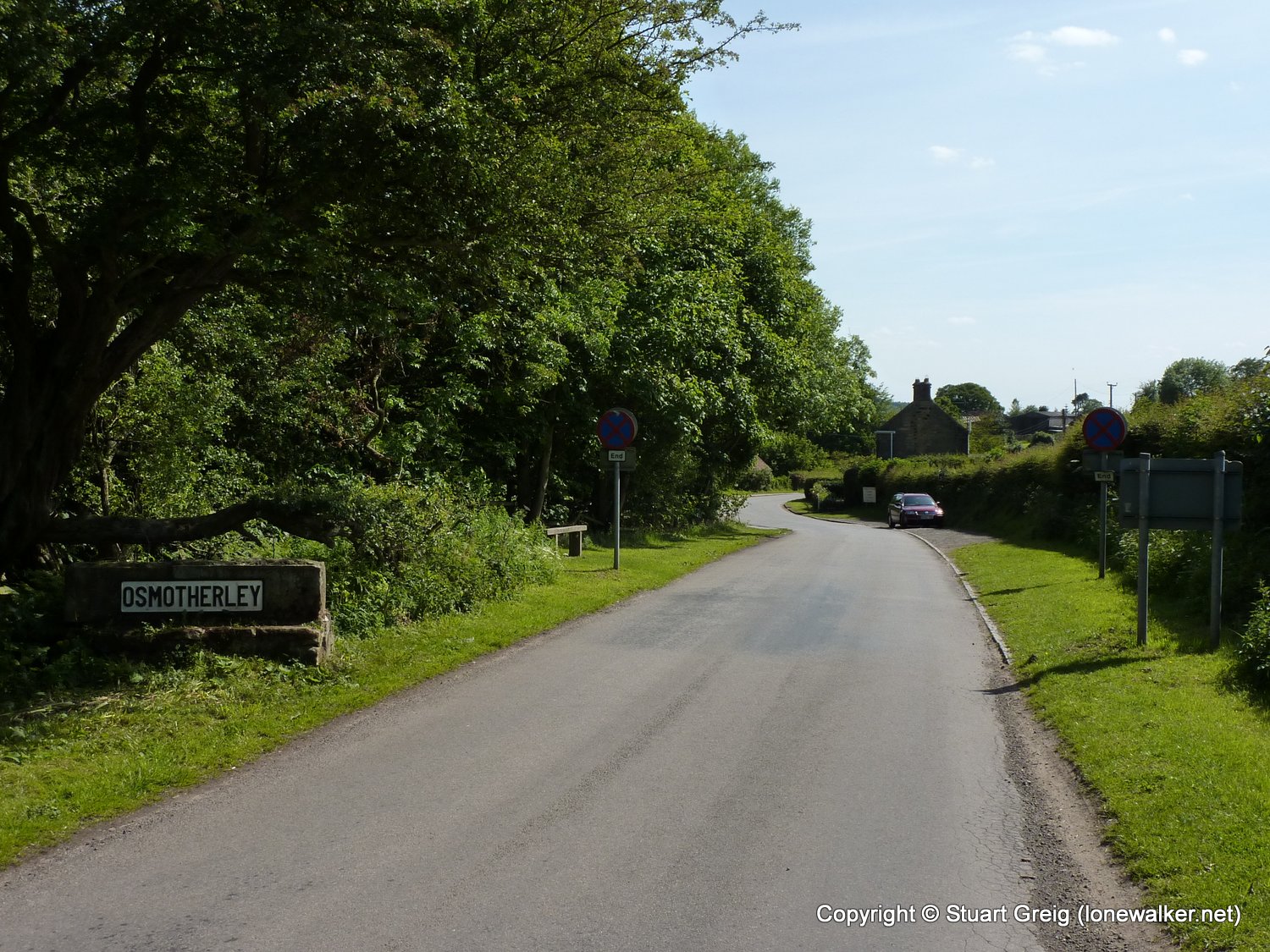
Start: Blakey Ridge Finish: Osmotherley
Distance: 20.5 mls, 32.99 km
Height Gain: 2800 ft, 853.4 m
Start Time: 07:57 End Time: 16:03
Duration: 08:06
Ave Speed: 2.5 mph
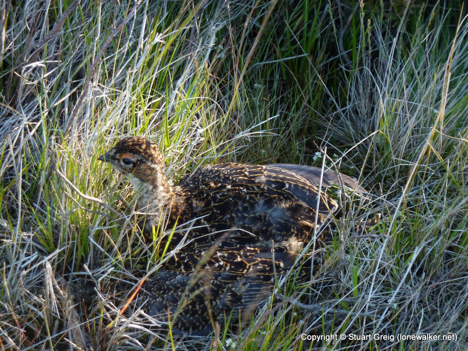
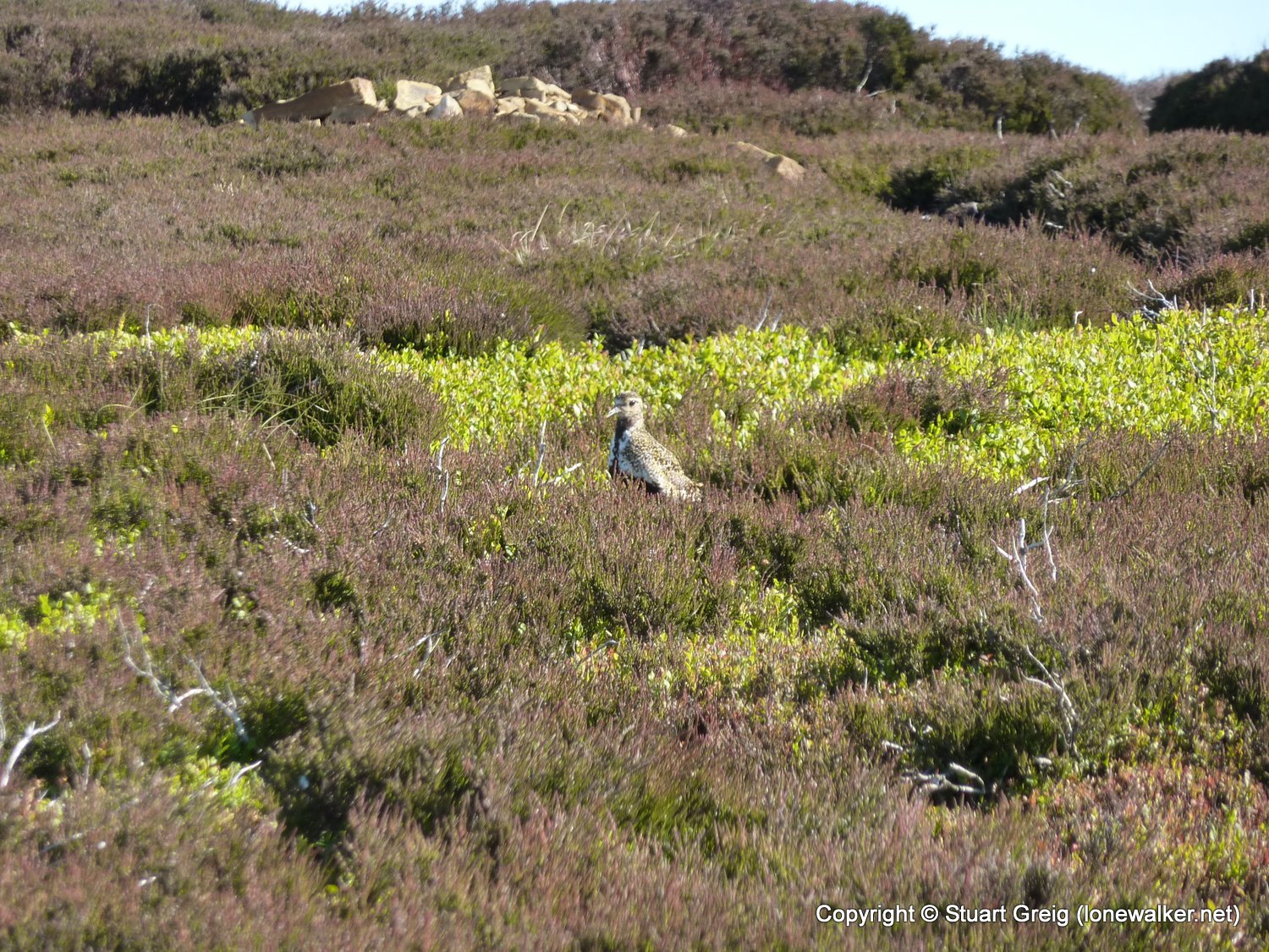
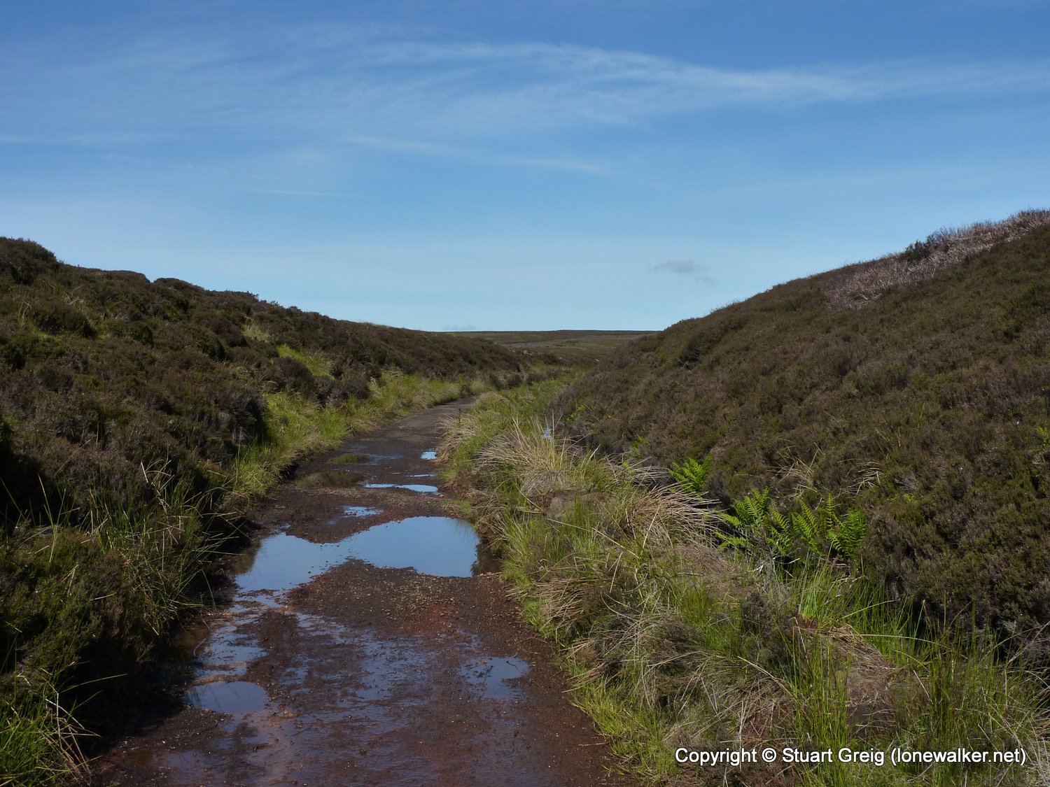
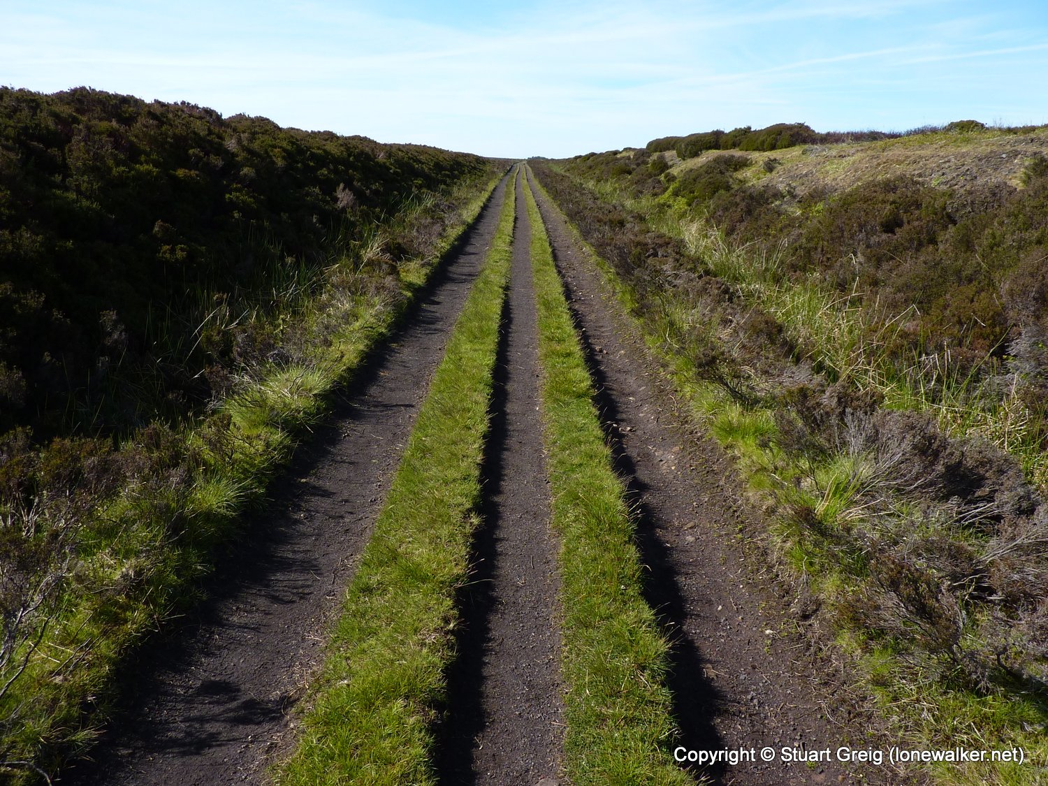
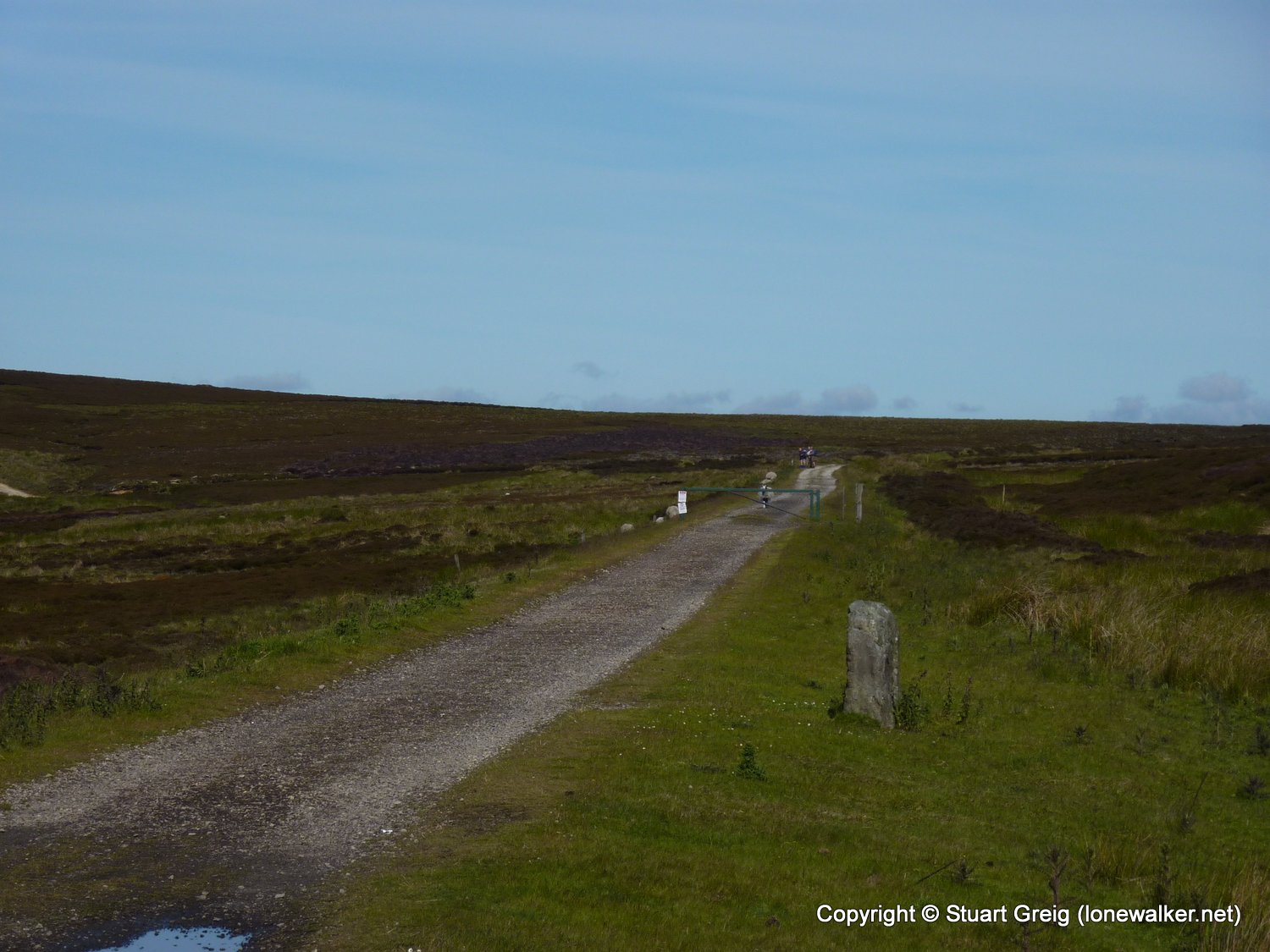
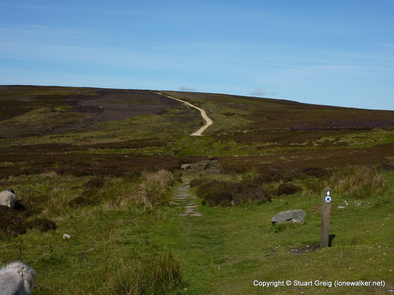
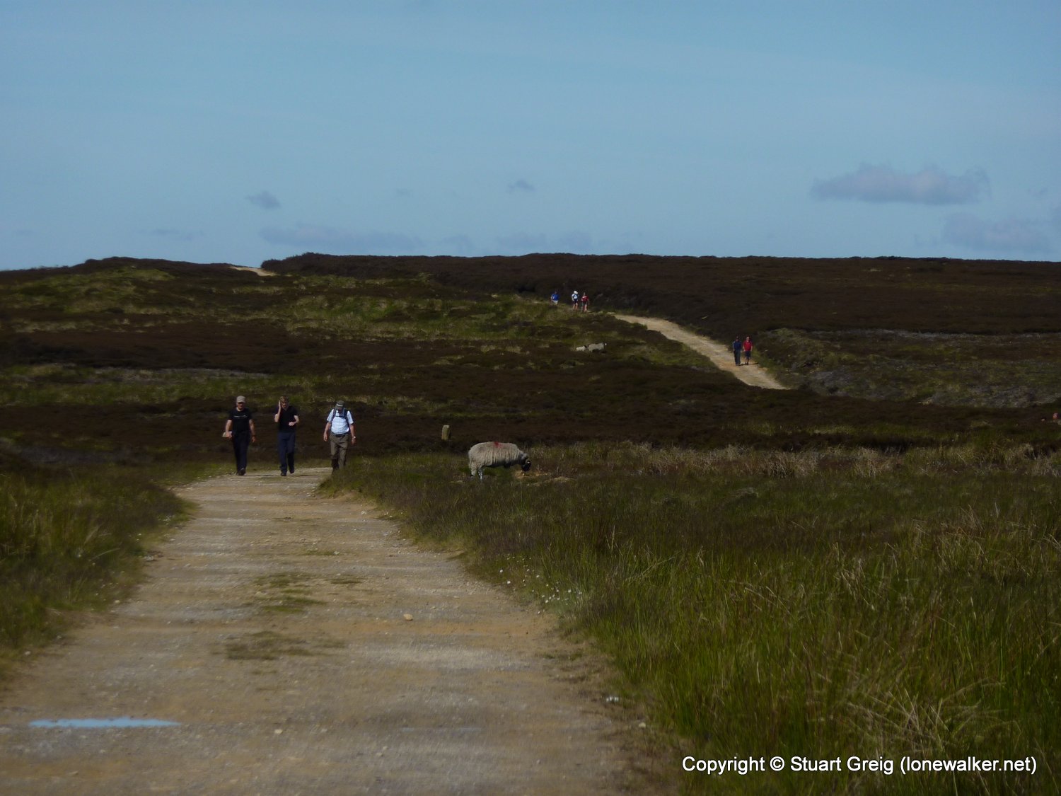
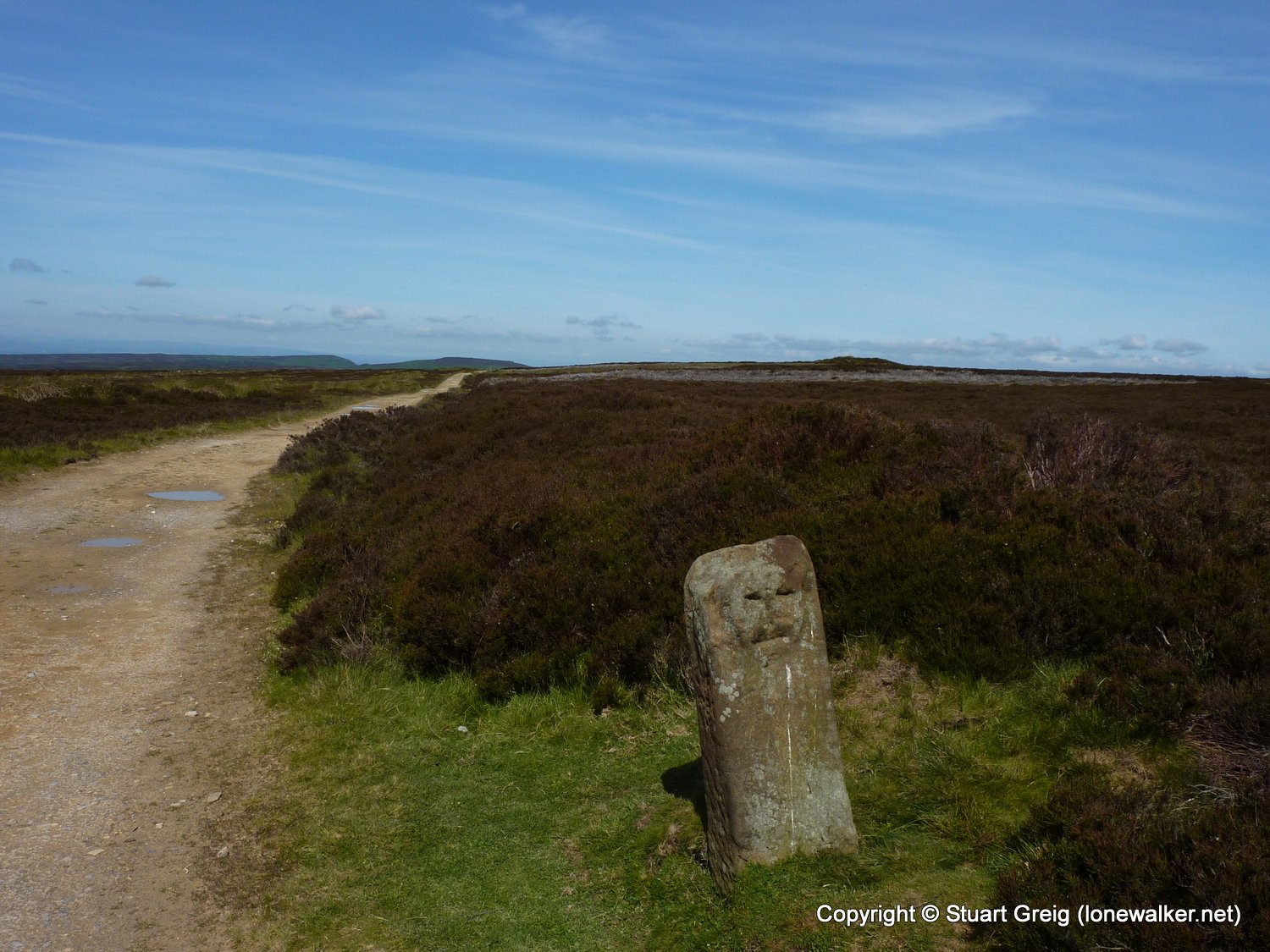
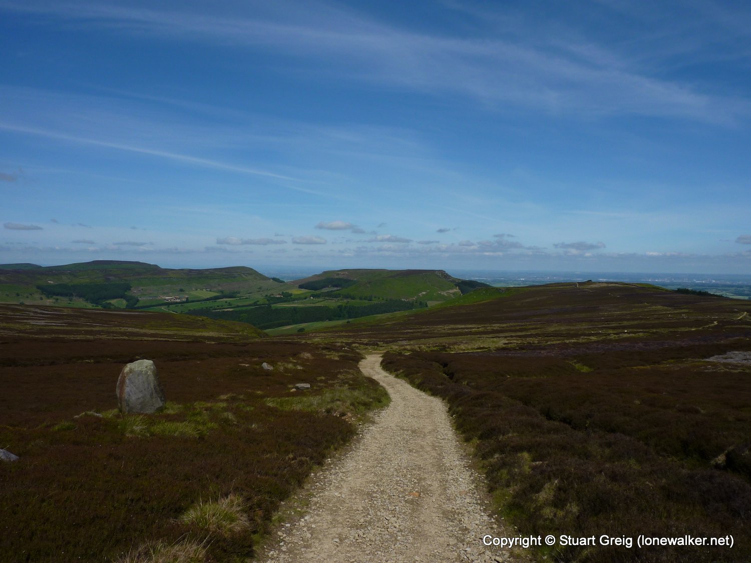
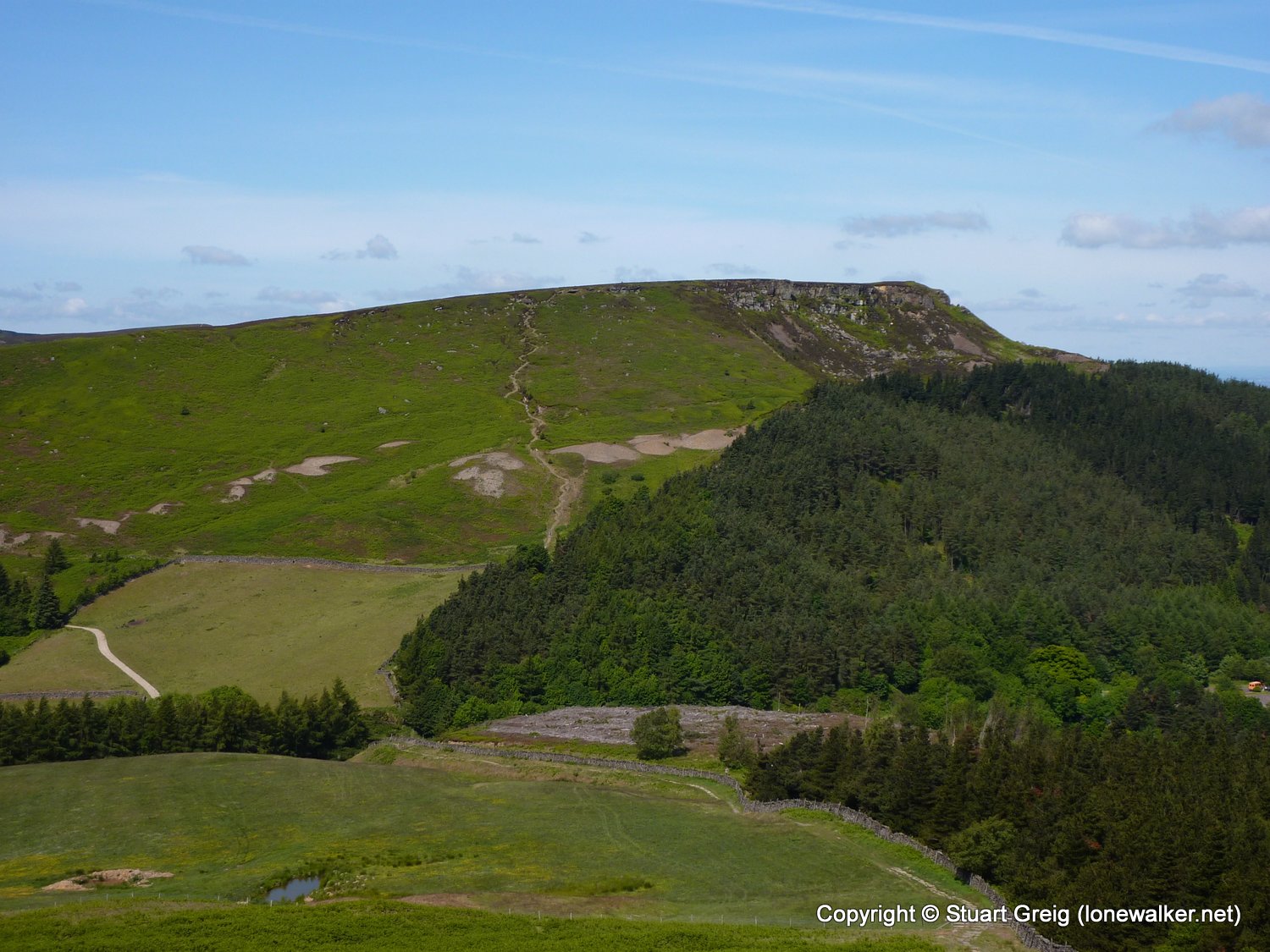
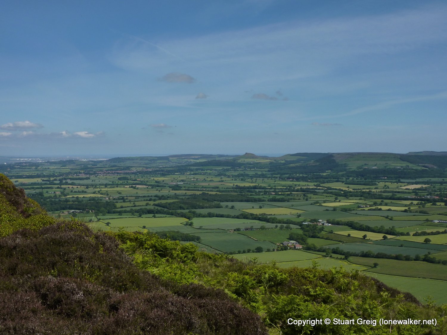
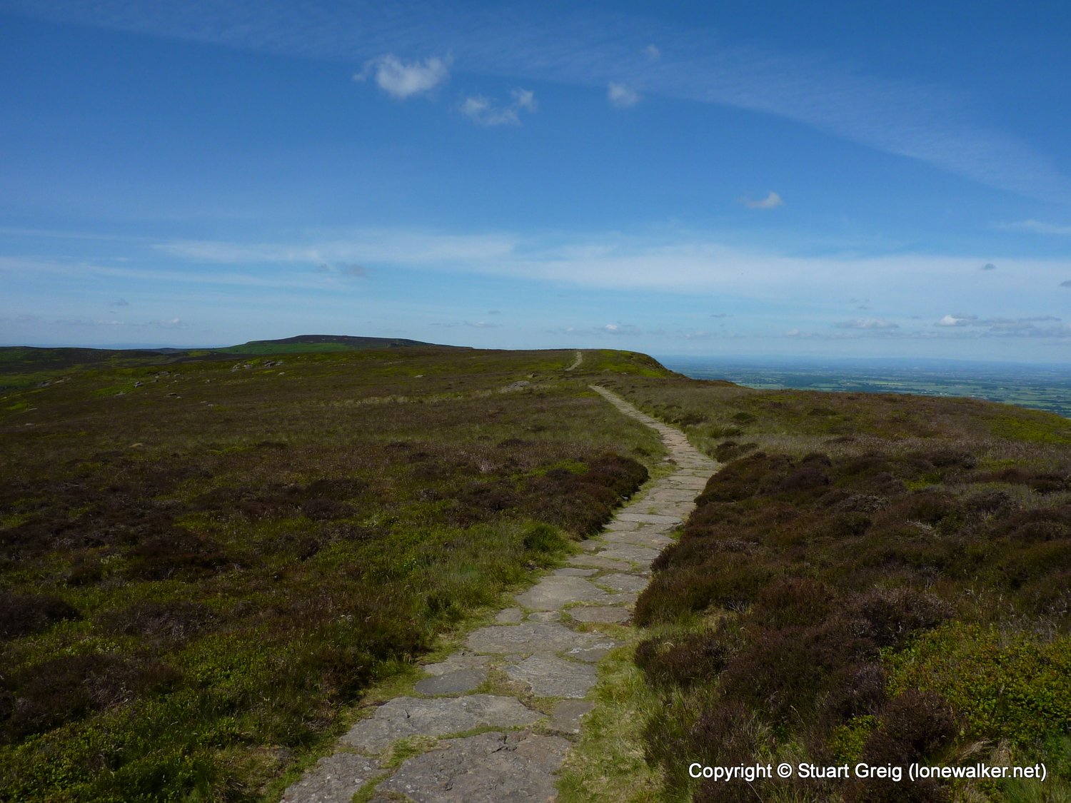
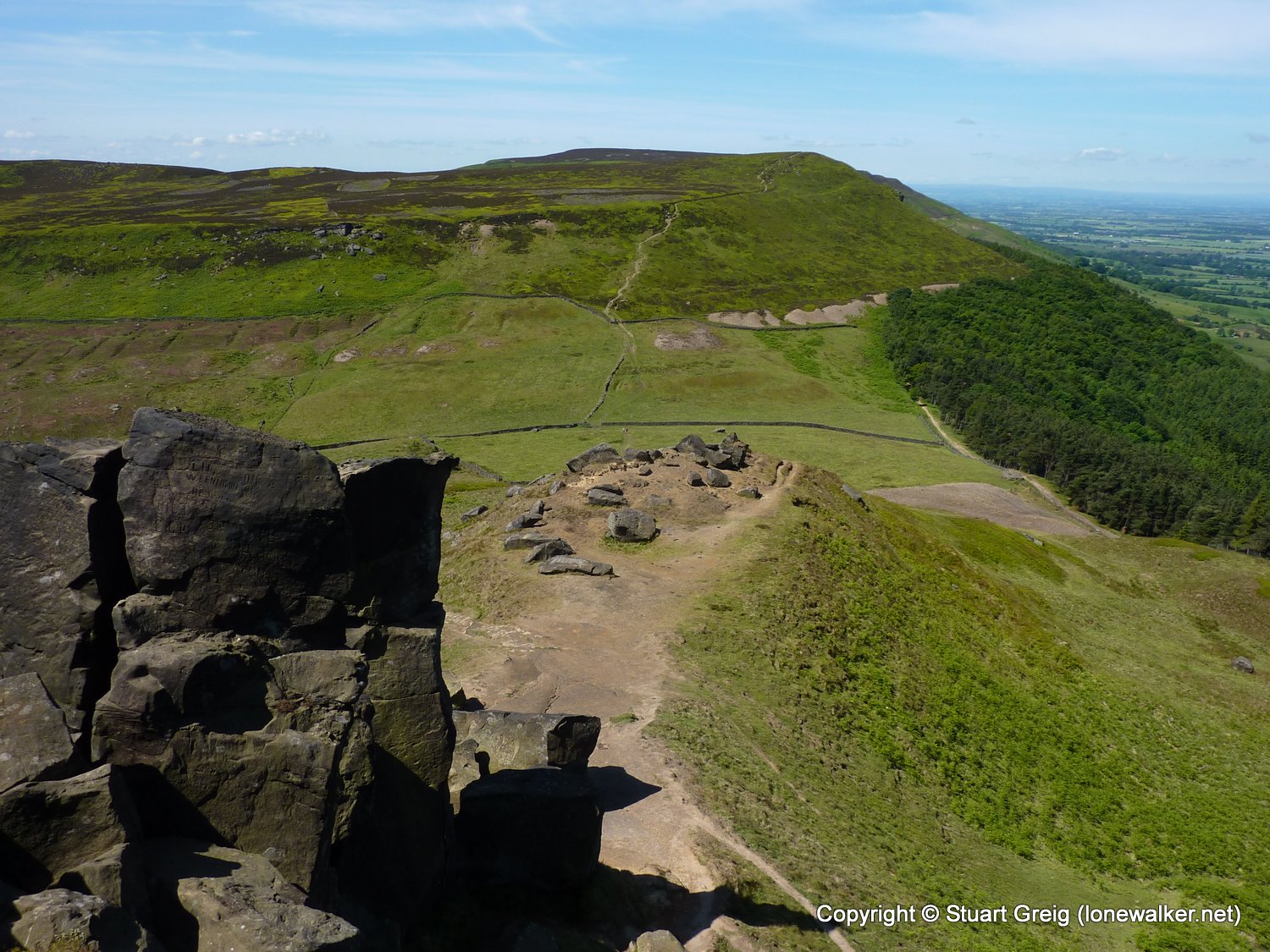
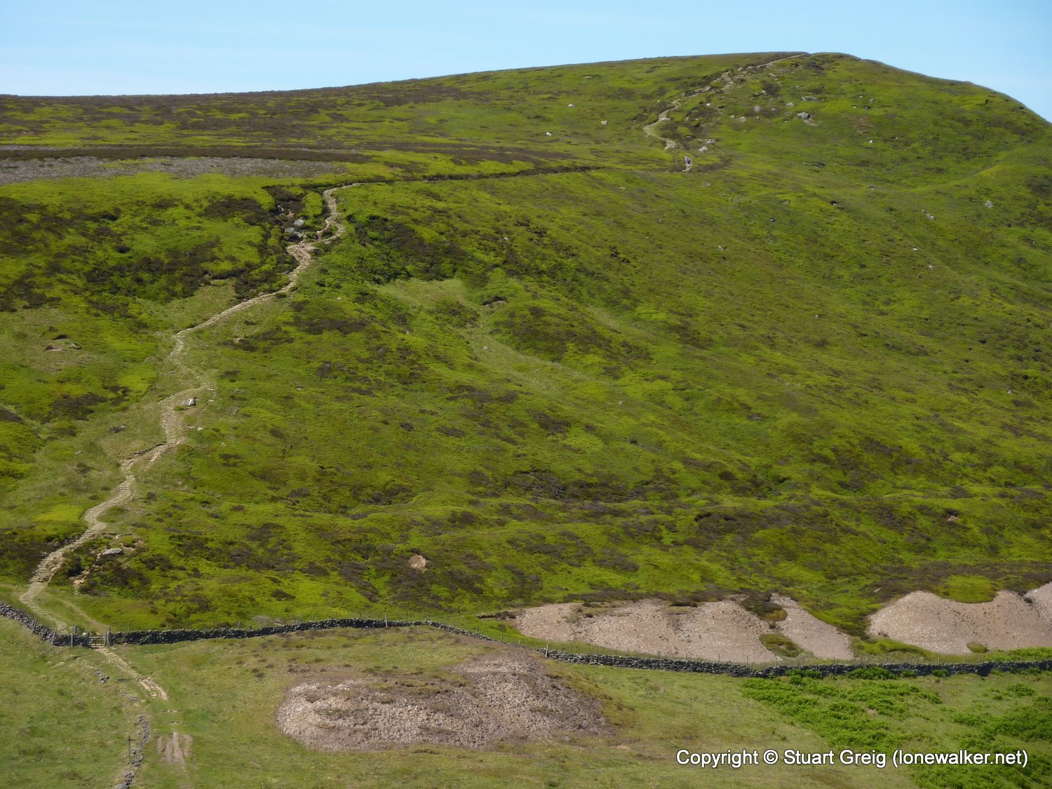
Region: North Yorks Moors
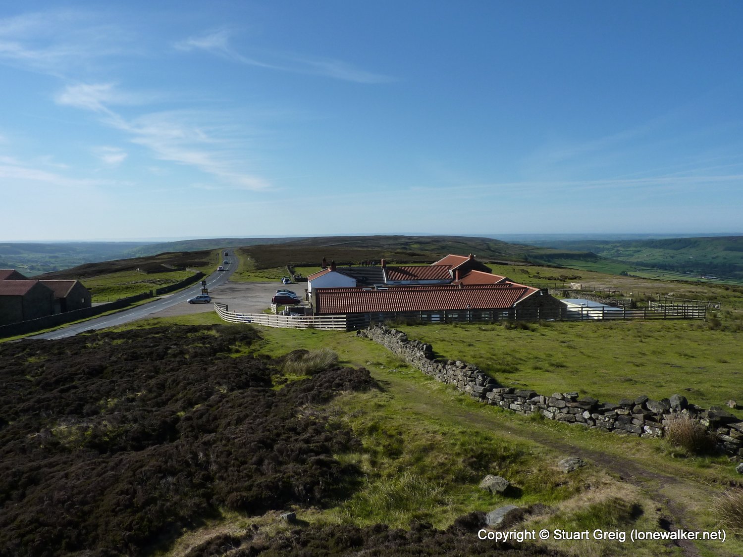
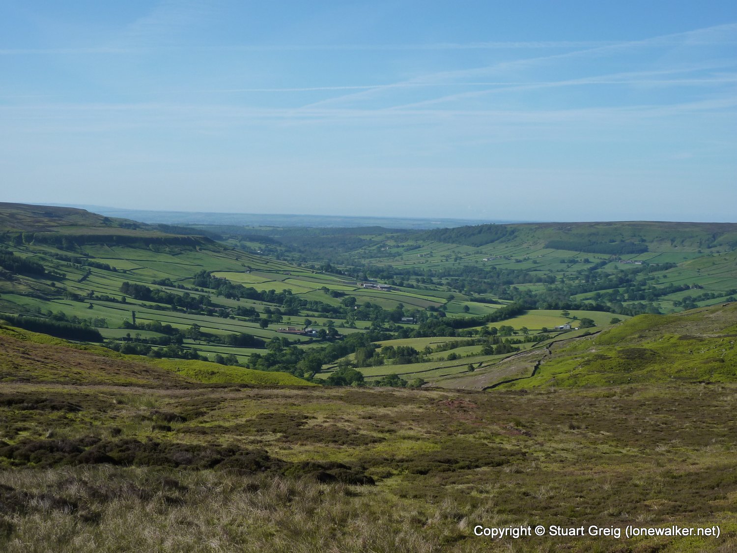
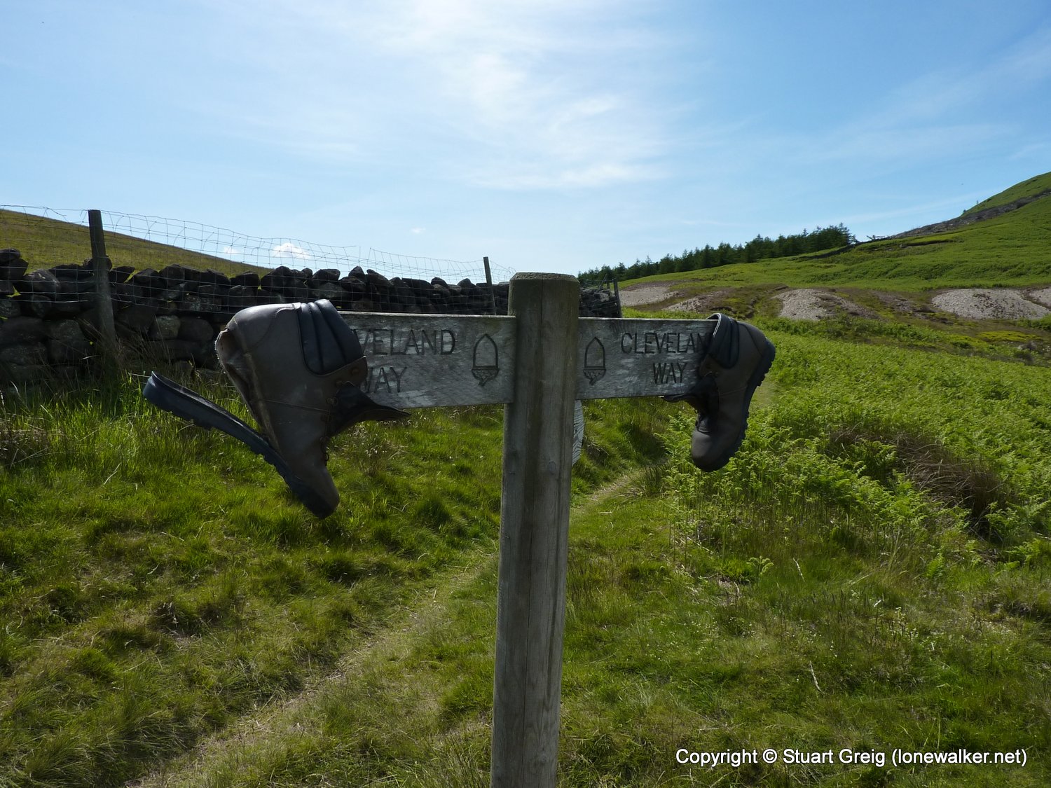
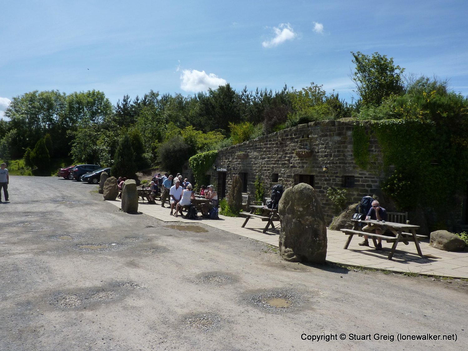
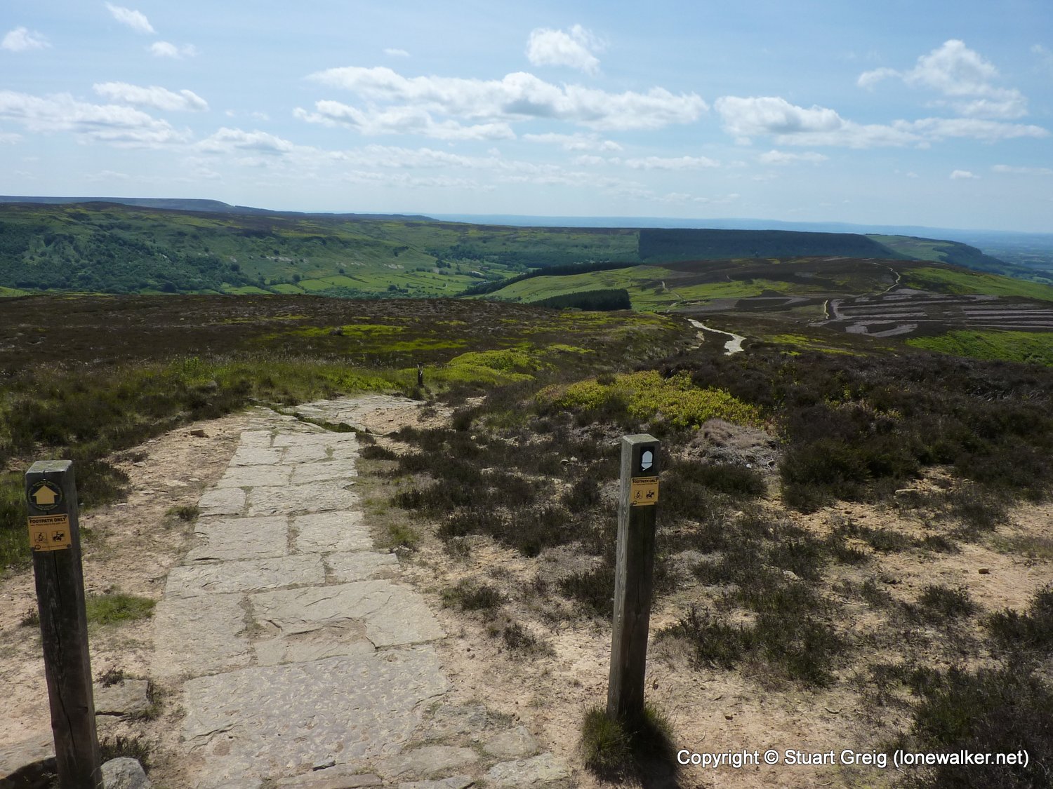
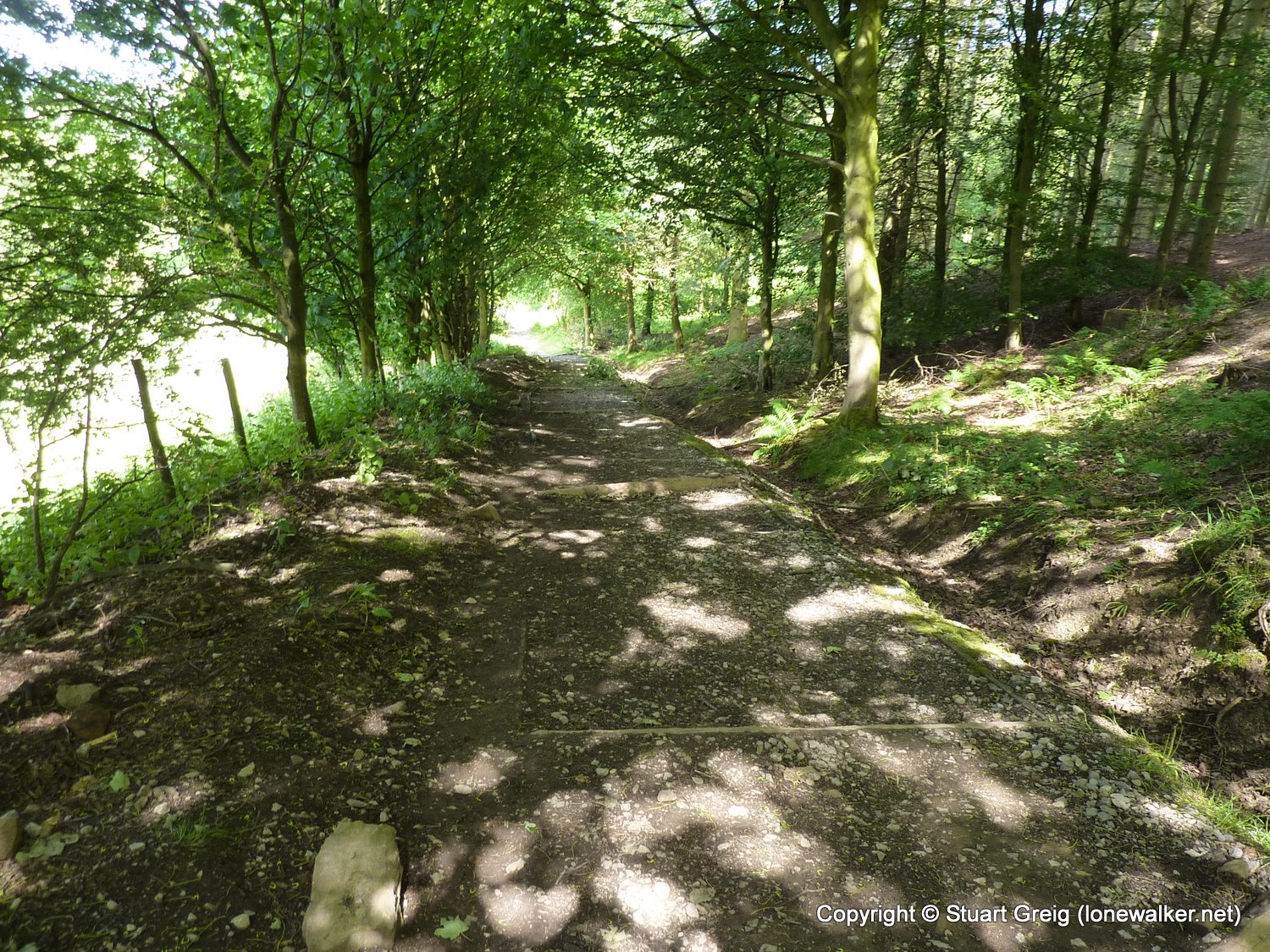
Route Description: Lion Inn, Farndale Moor, Bloworth Crossing, Round Hill, Clay Bank Top, Cringle Moor, Lord Stones Cafe, Carlton Moor, Live Moor, Cod Beck Res, Osmotherley
Parking Grid Ref:
View Parking space in: OS Map or Google Street View
Walking with: Alone
Long Distance Path: Wainwright's Coast to Coast
Link to full Walk Report: https://lonewalker.net/my-long-distance-walks/coast-to-coast-2011/day-three/
Download GPX file for this walk:
If your browser opens the file directly, right click and "Save As.."
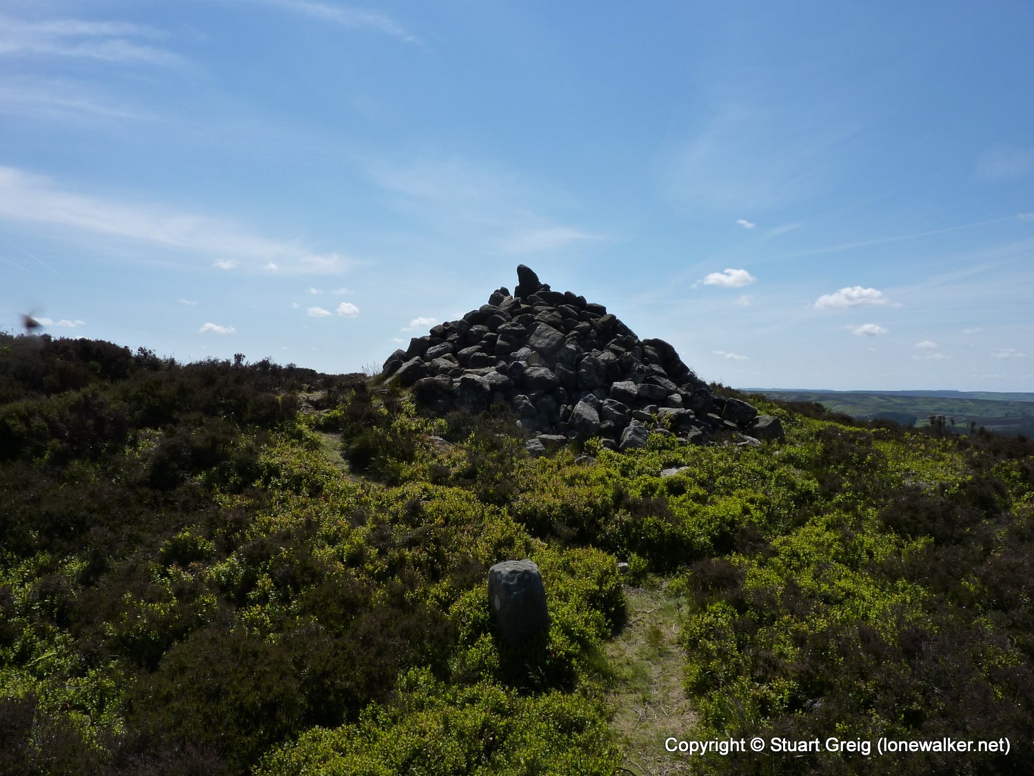
2830 - Urra Moor - Round Hill (1490 ft)
2831 - Cringle Moor - Drake Howe (1424 ft)
5340 - Carlton Moor (1339 ft)
7750 - White Hill [Hasty Bank] (1306 ft)
7749 - Cold Moor [Broughton Bank] (1319 ft)
TP0697 - Botton Head (Good condition)
TP6927 - Whorlton Moor (Slightly damaged condition)
Click any image to open the full screen photo gallery


Walk Name: Grosmont to Blakey Ridge
Date: 2011-06-13
Distance: 14.0 mls, 22.53 km
Height Gain: 2400 ft, 731.5 m
Walk Name: Osmotherley to Richmond
Date: 2011-06-15
Distance: 27.5 mls, 44.26 km
Height Gain: 1600 ft, 487.7 m