
Date: 2011-06-22
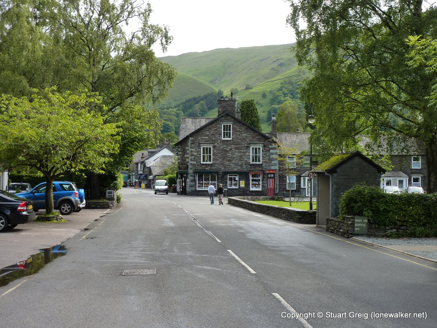
Start: Grasmere Finish: Stonethwaite
Distance: 12.0 mls, 19.31 km
Height Gain: 2800 ft, 853.4 m
Start Time: 09:23 End Time: 15:15
Duration: 05:52
Ave Speed: 2.0 mph
Region: Lake District
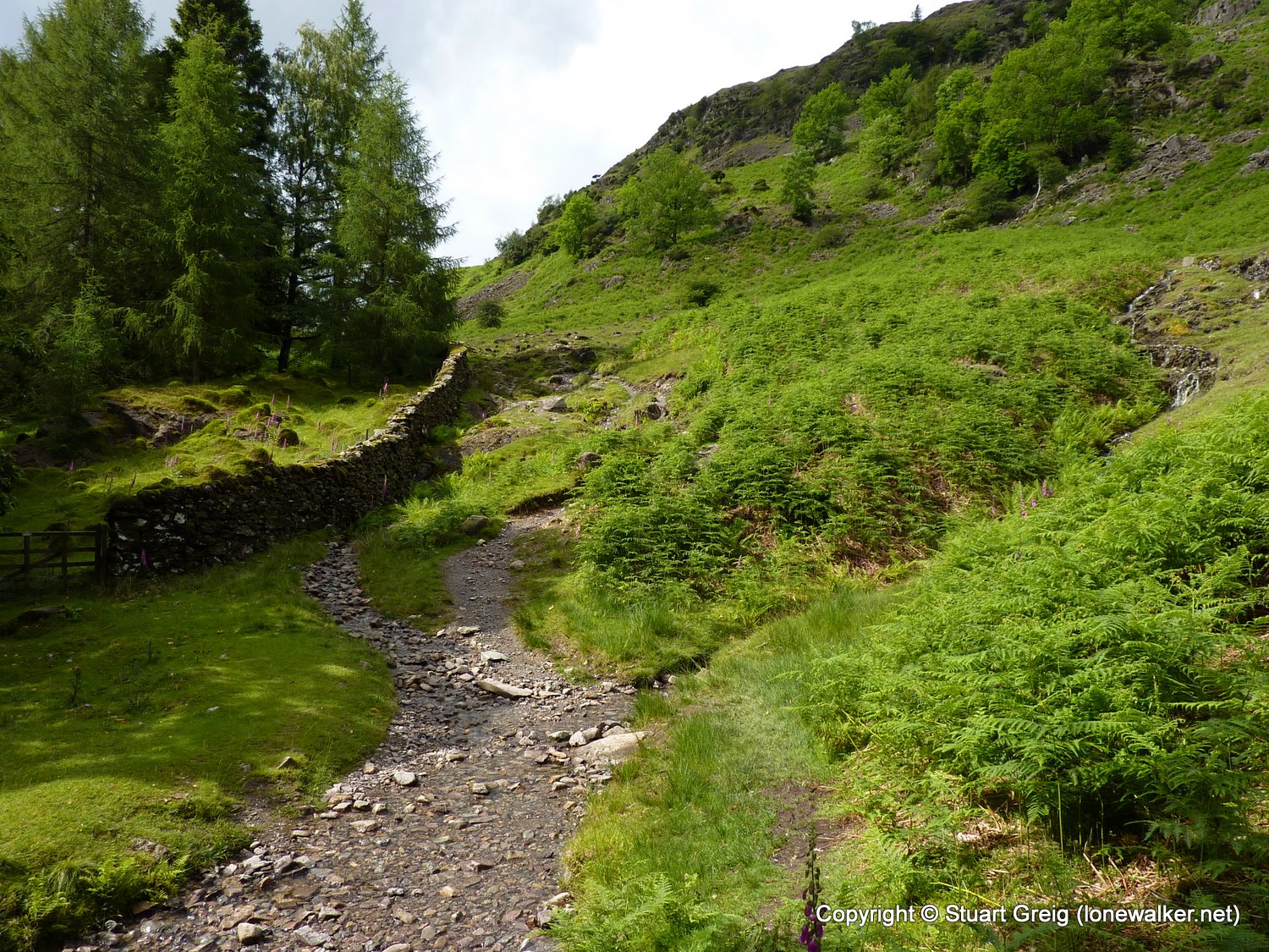
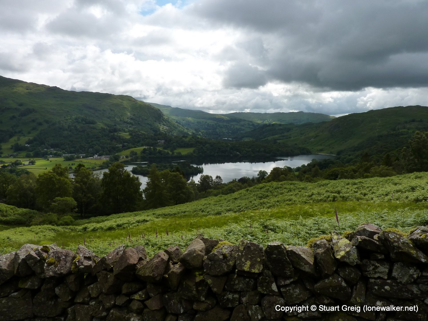
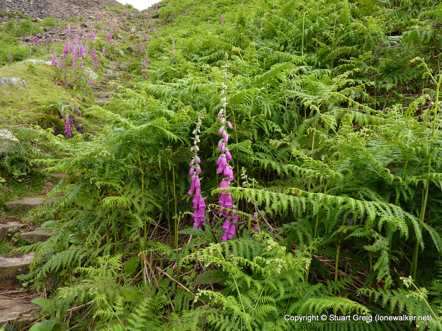
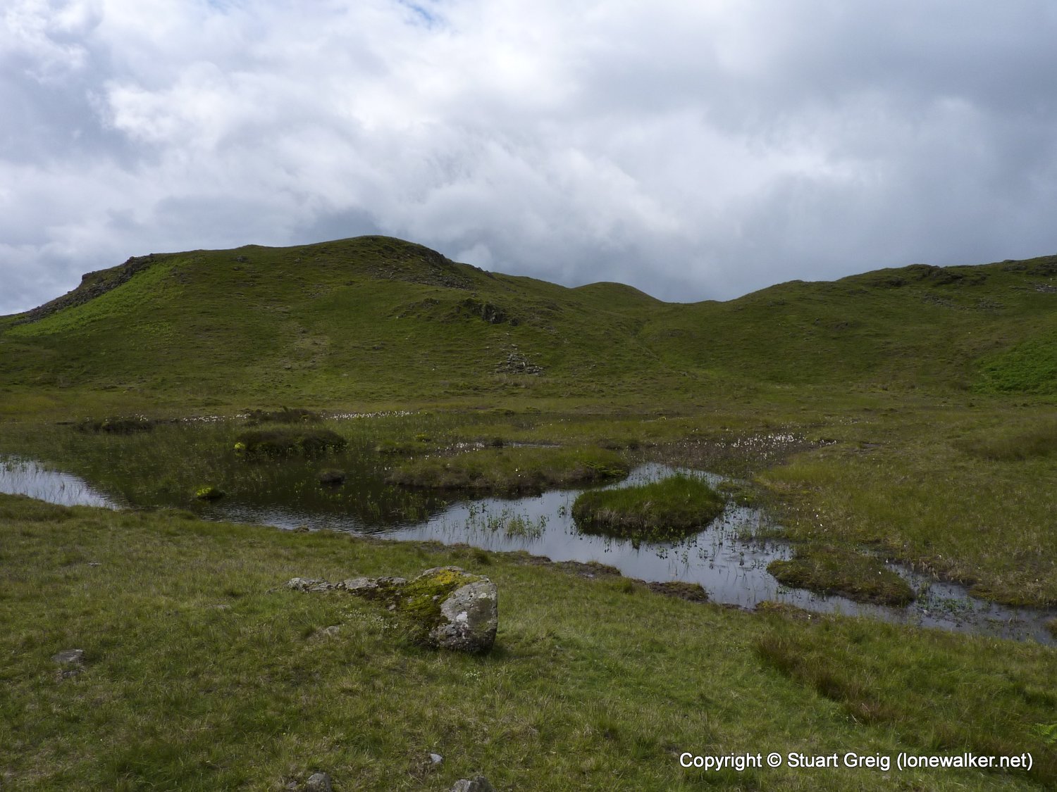
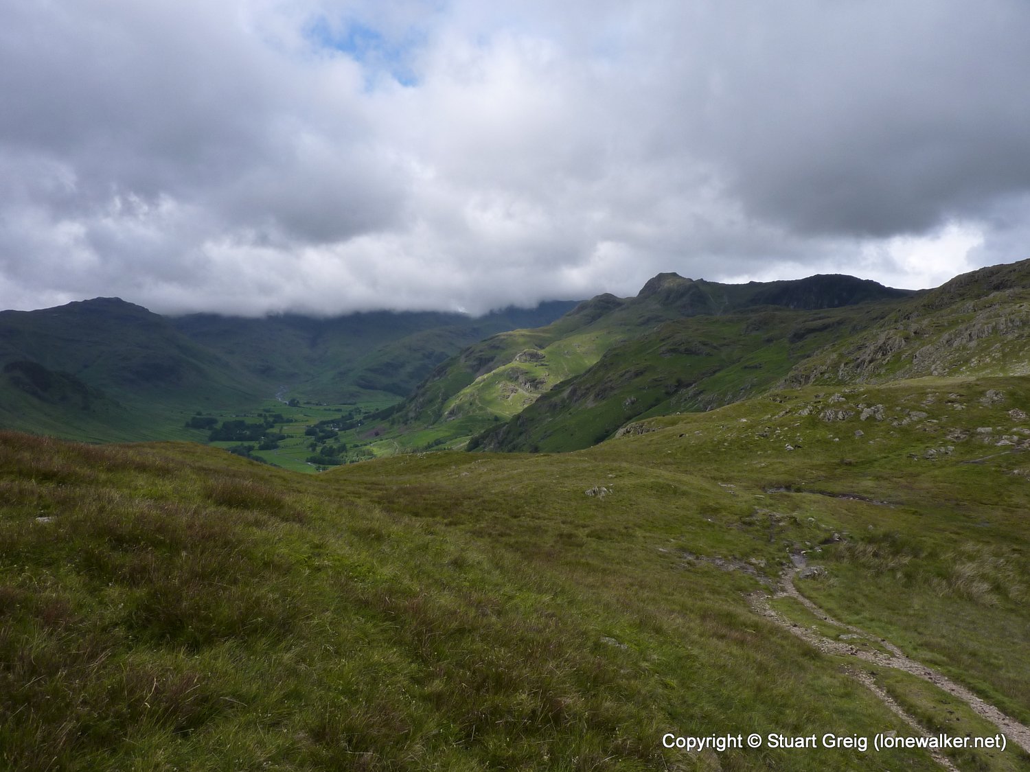
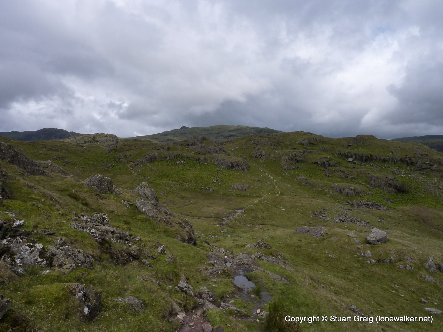
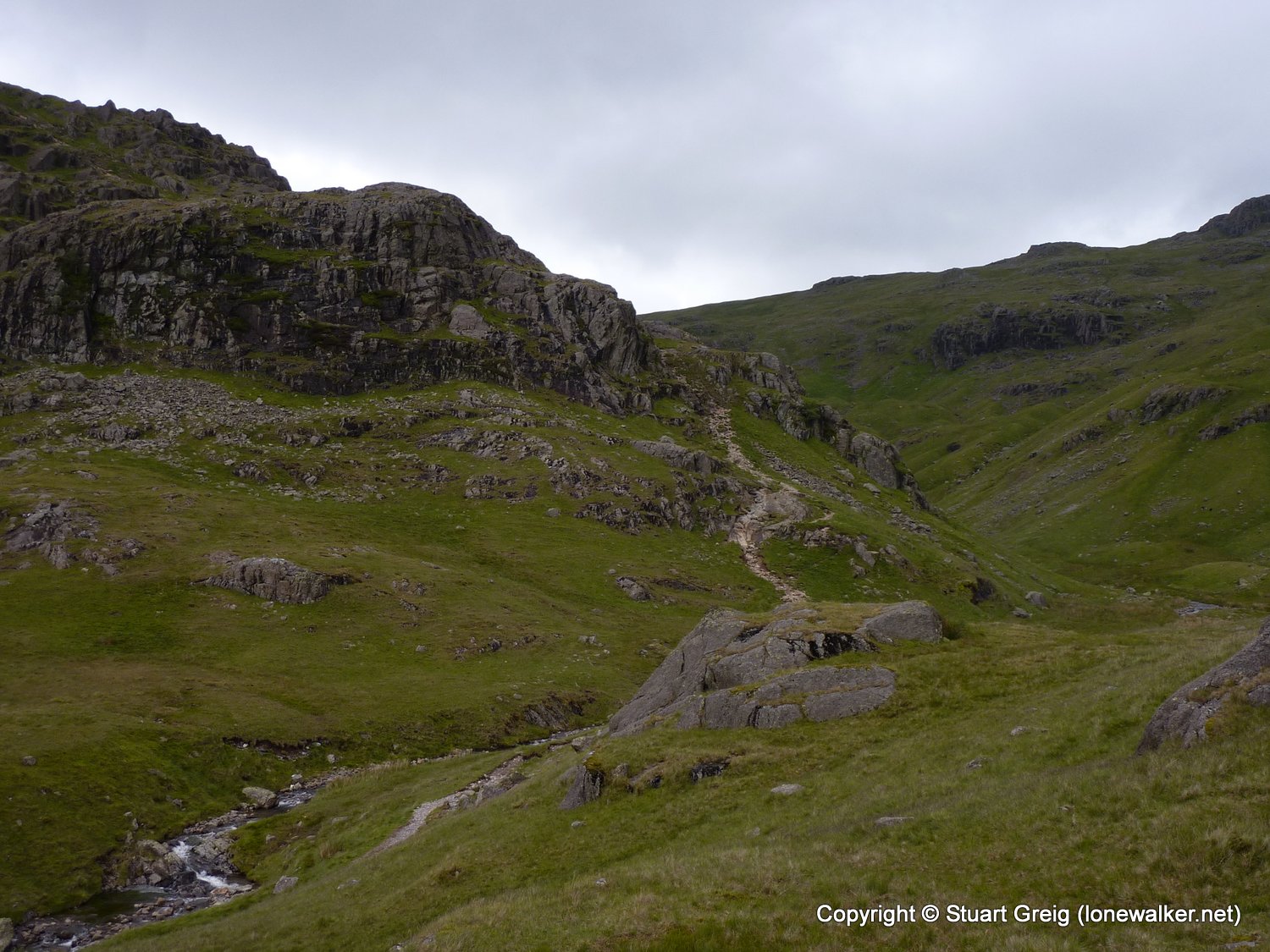
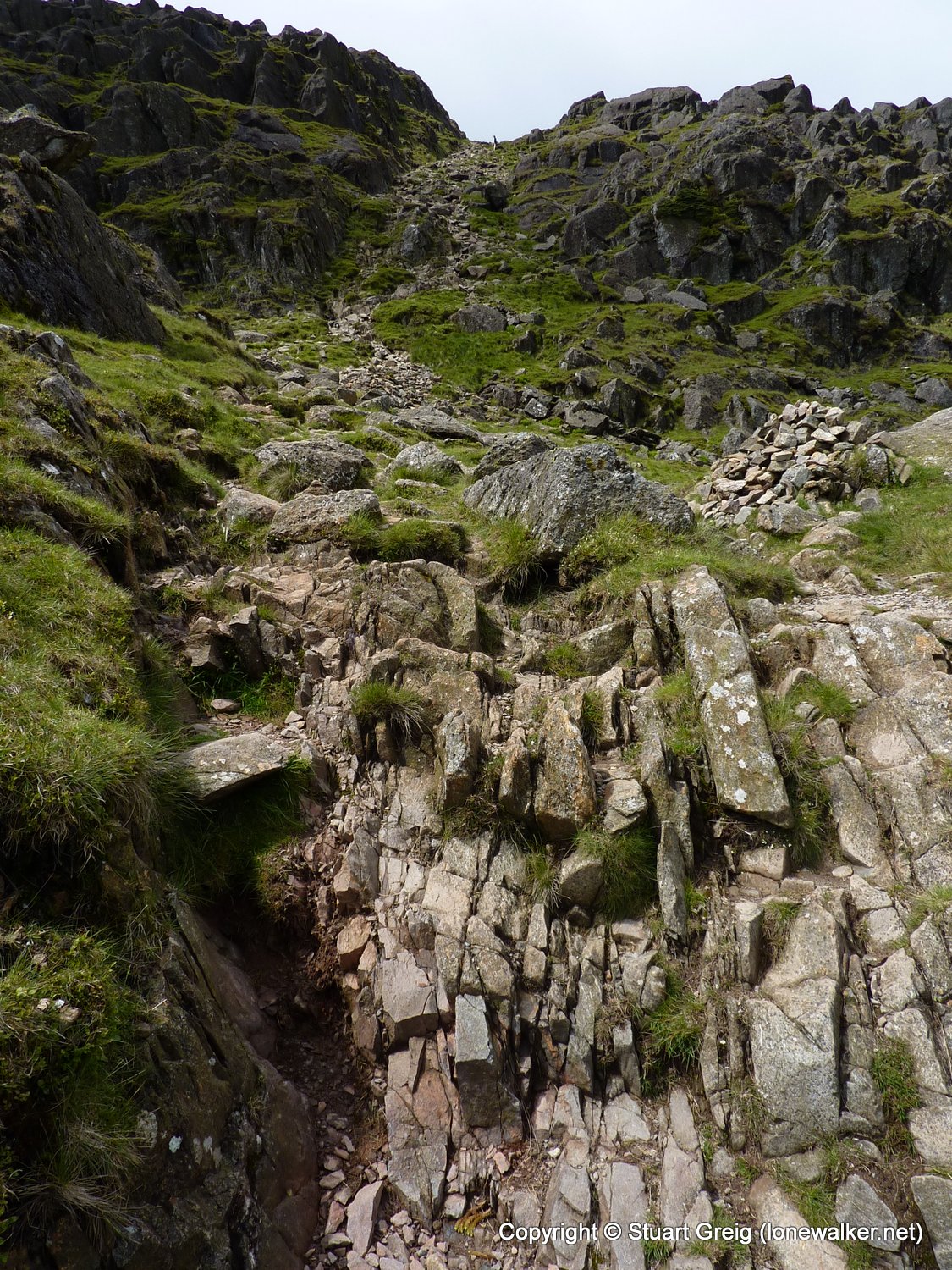
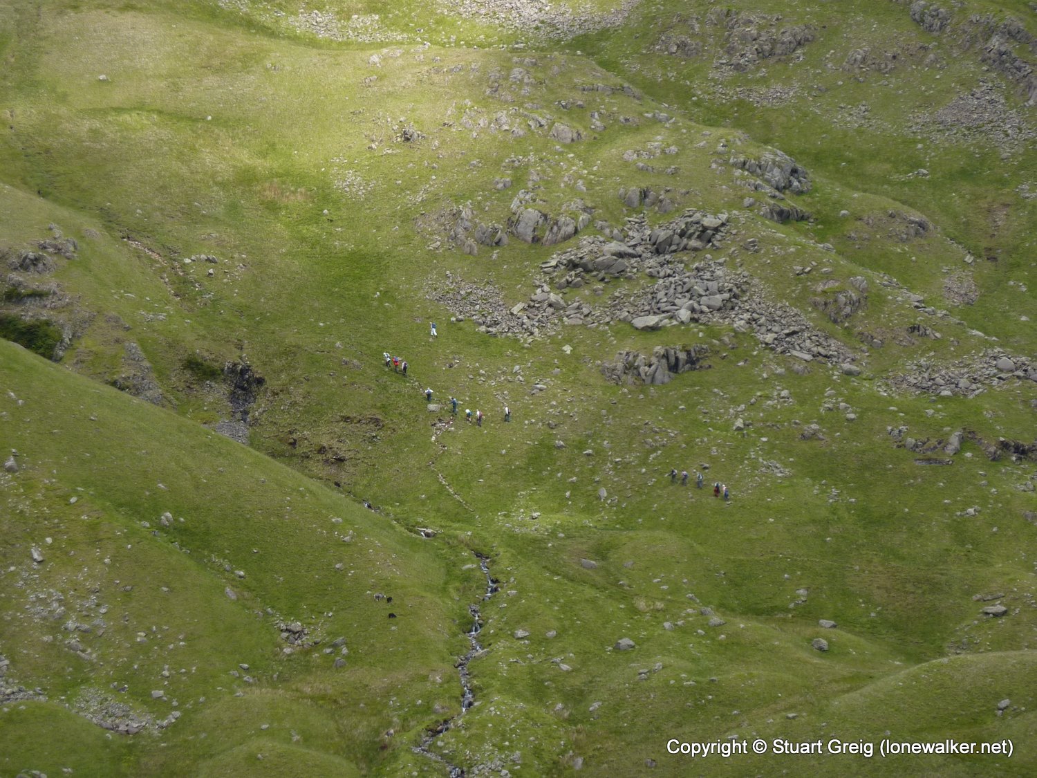
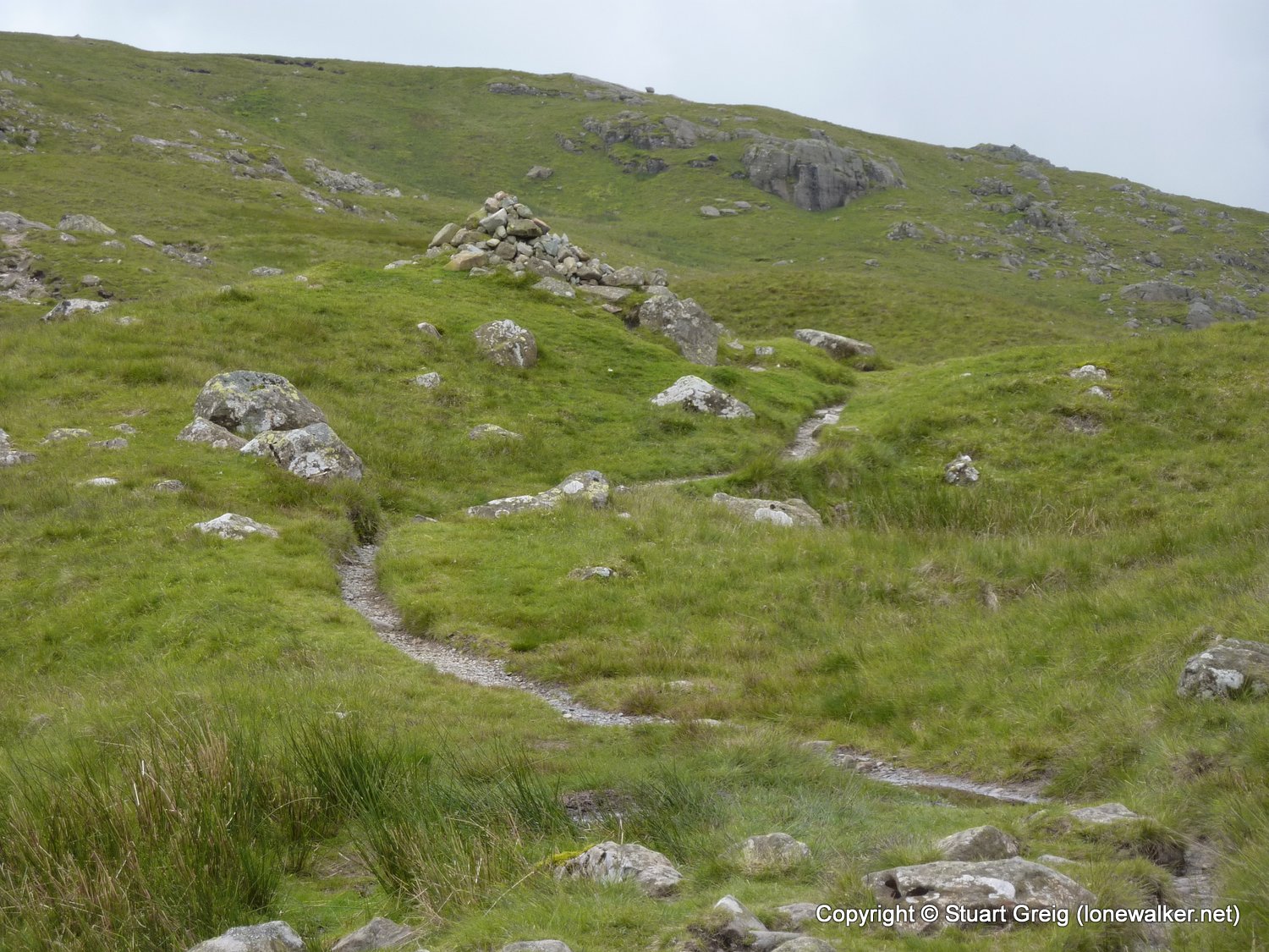
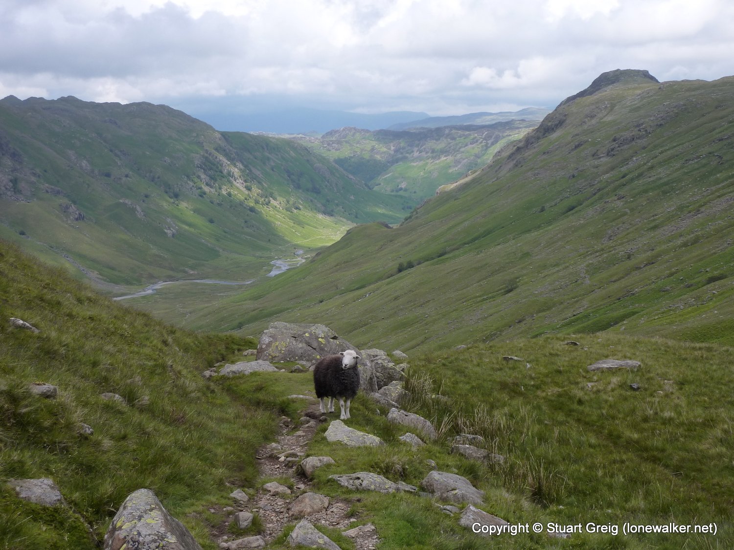
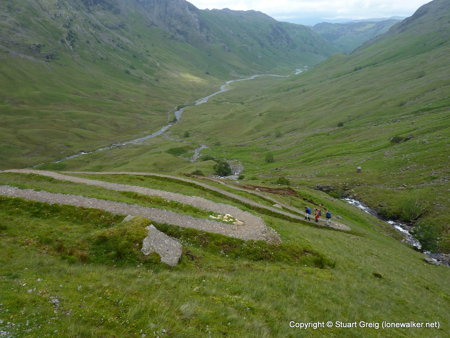
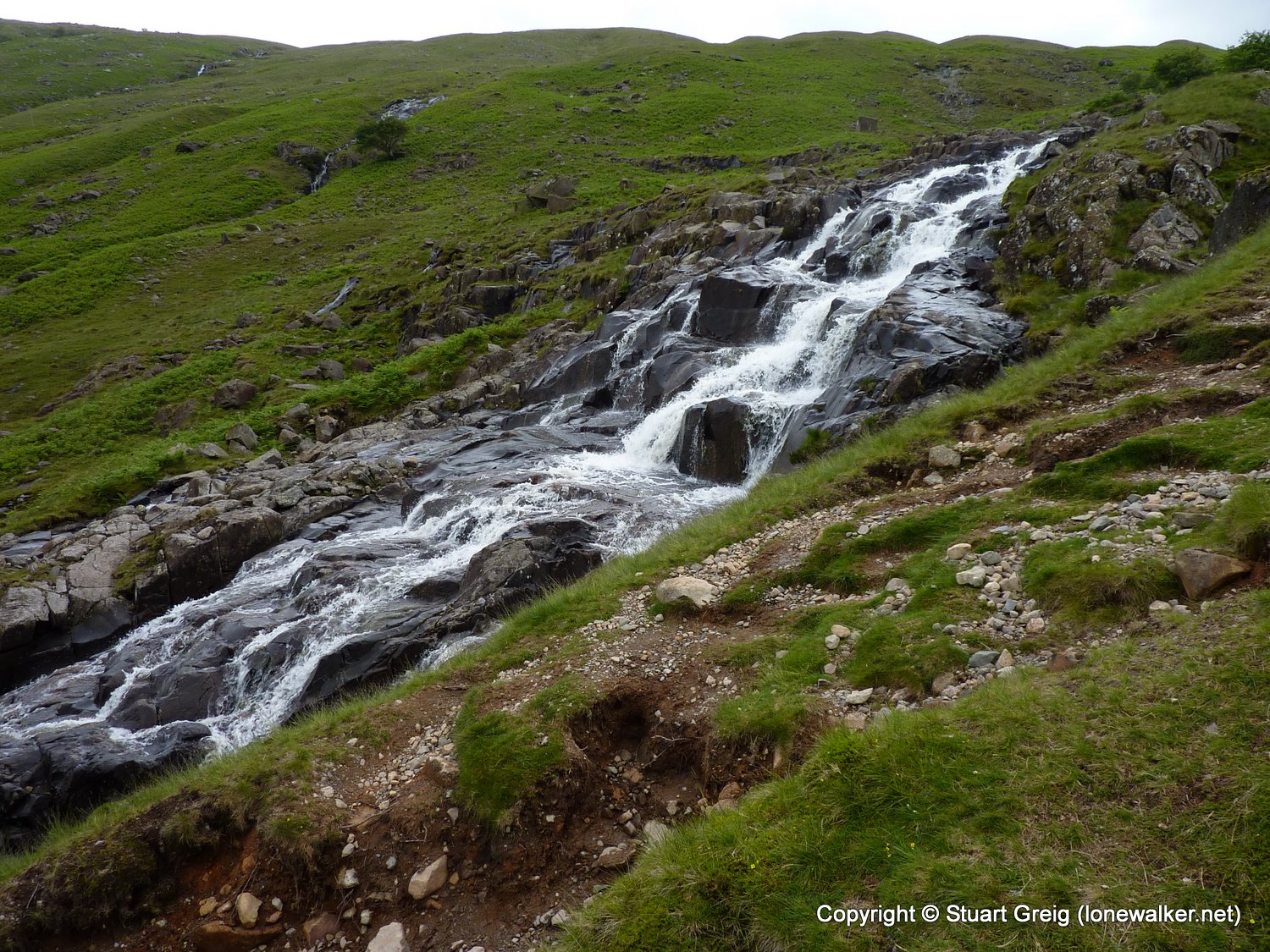
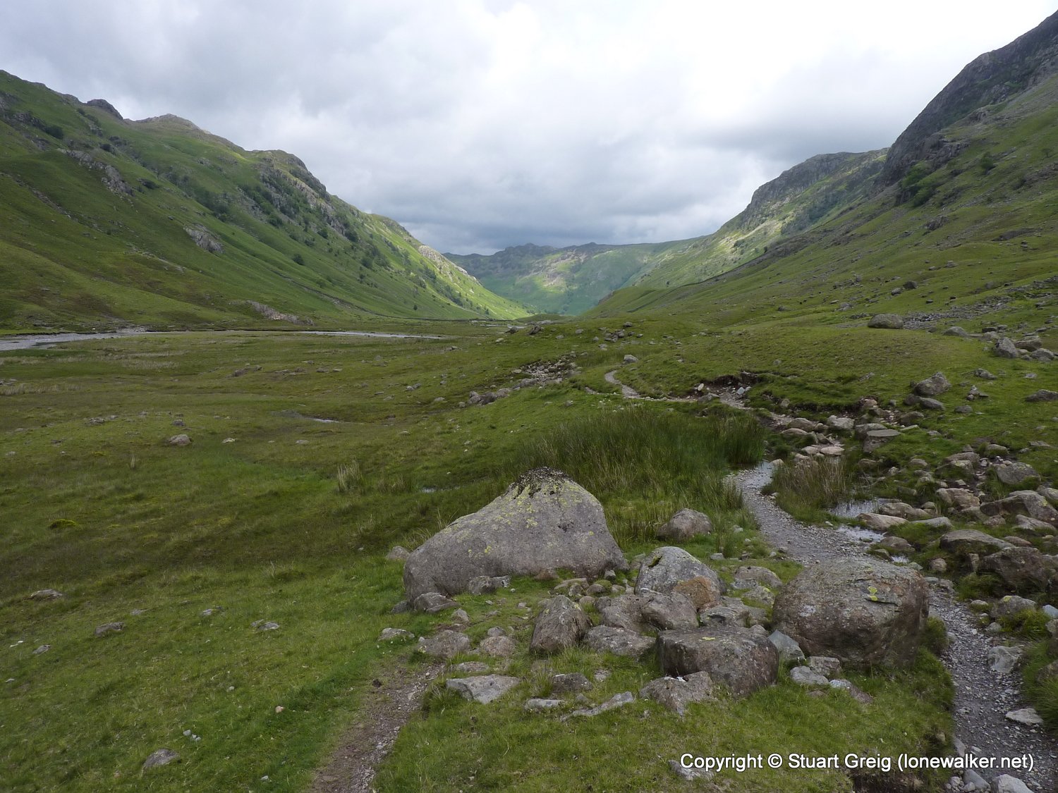
Route Description: Grasmere, Kelbarrow, Silver How, Swinescar Pike, Blea Rigg, Stickle Tarn, Pavey Ark, Harrison Combe, Martcrag Moor, Stake Pass, Langstrath, Smithymire Island, Stonethwaite
Parking Grid Ref:
View Parking space in: OS Map or Google Street View
Walking with: Alone
Long Distance Path: Wainwright's Coast to Coast
Link to full Walk Report: https://lonewalker.net/my-long-distance-walks/coast-to-coast-2011/day-eleven/
Download GPX file for this walk:
If your browser opens the file directly, right click and "Save As.."
2423 - Pavey Ark (2297 ft)
2499 - Silver How (1292 ft)
3783 - Swinescar Pike (1348 ft)
7952 - Little Castle How (1580 ft)
7956 - Martcrag Moor (1795 ft)
Click any image to open the full screen photo gallery


Walk Name: Patterdale to Grasmere
Date: 2011-06-21
Distance: 7.2 mls, 11.59 km
Height Gain: 2600 ft, 792.5 m
Walk Name: Stonethwaite to Ennerdale Bridge
Date: 2011-06-23
Distance: 16.0 mls, 25.75 km
Height Gain: 2300 ft, 701.0 m