
Date: 2011-09-09
Start: Keld Finish: Reeth
Distance: 12.5 mls, 20.12 km
Height Gain: 2100 ft, 640.1 m
Start Time: 10:06 End Time: 15:29
Duration: 05:23
Ave Speed: 2.3 mph
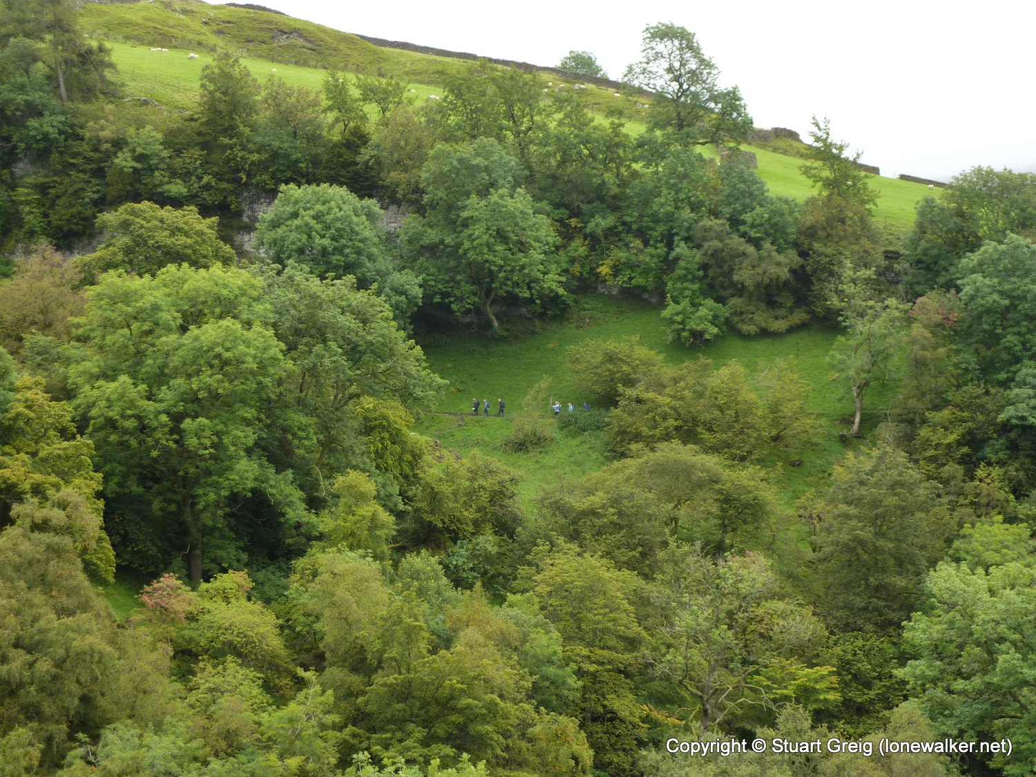
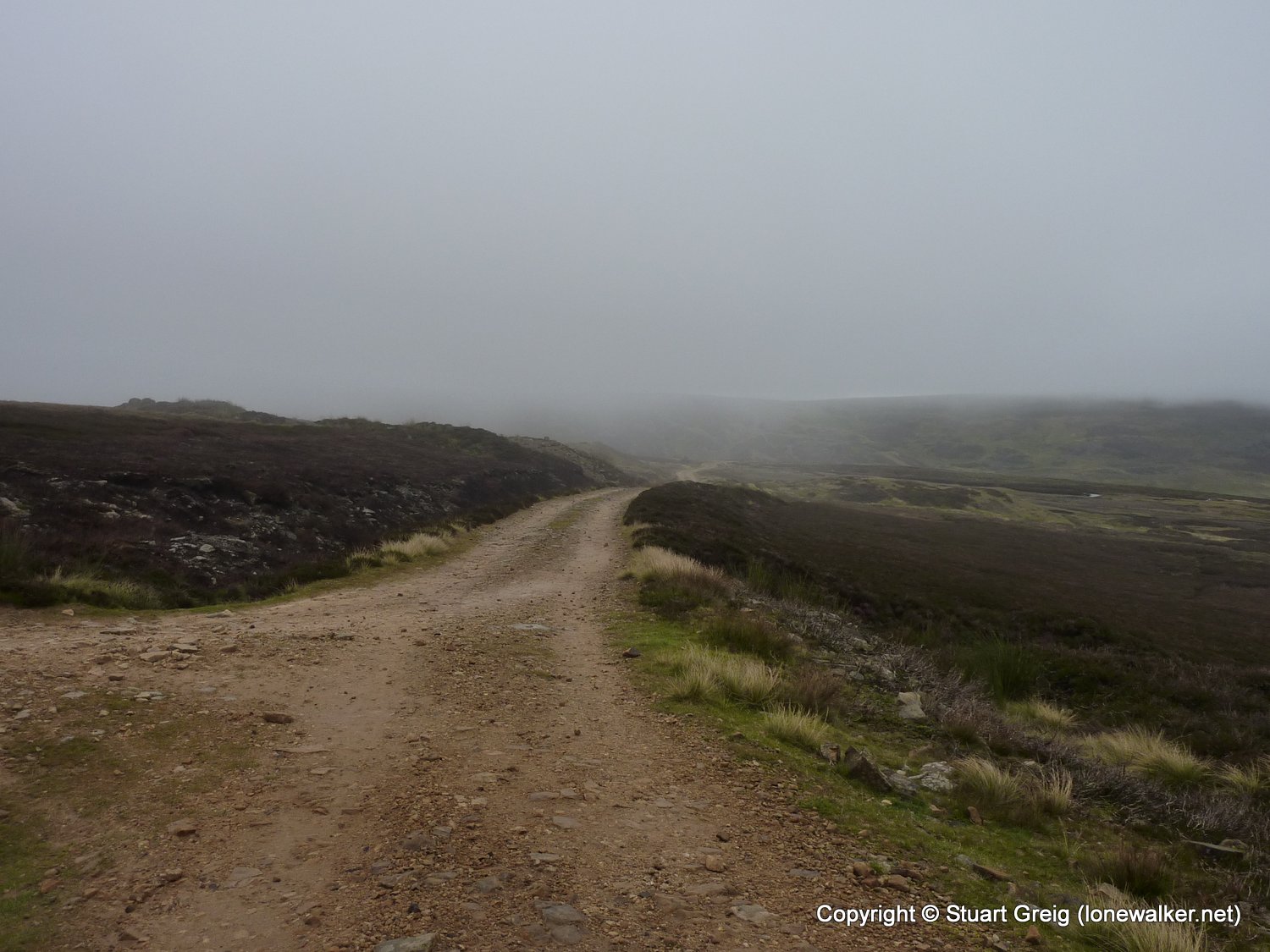
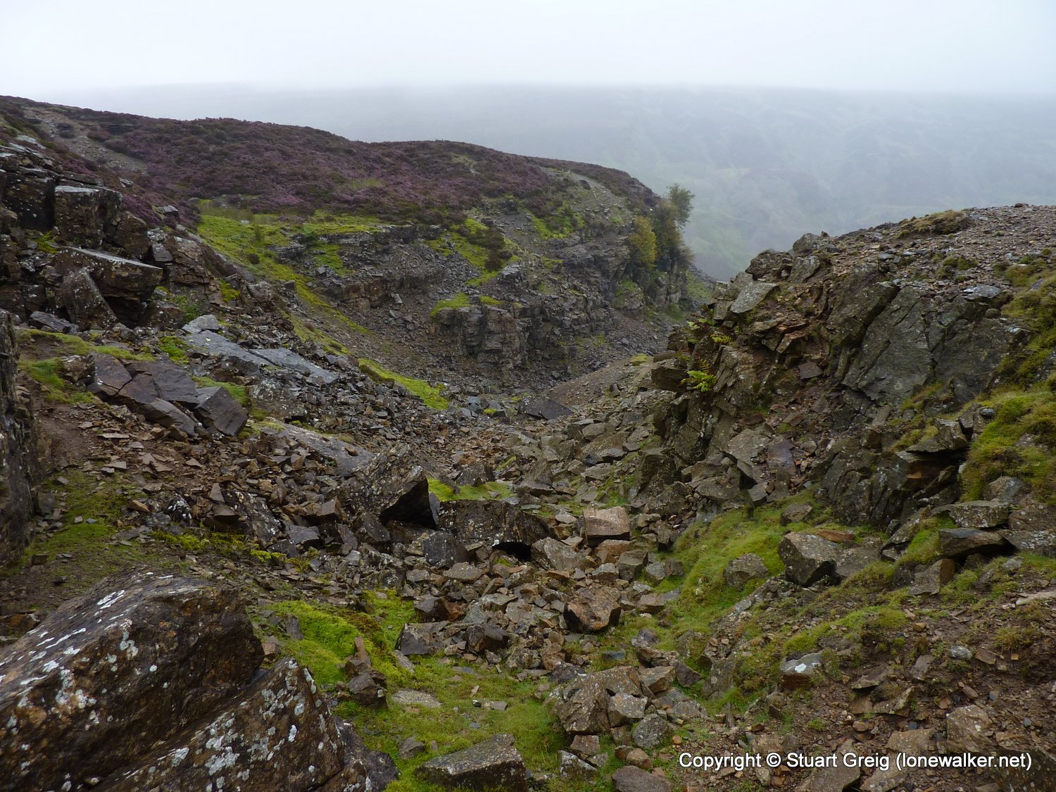
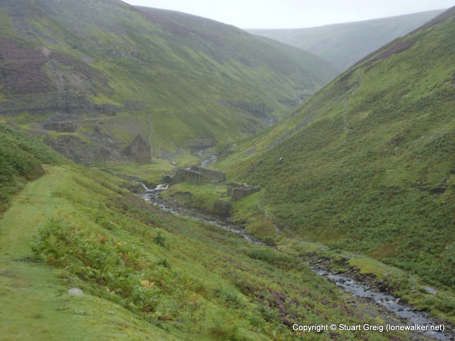
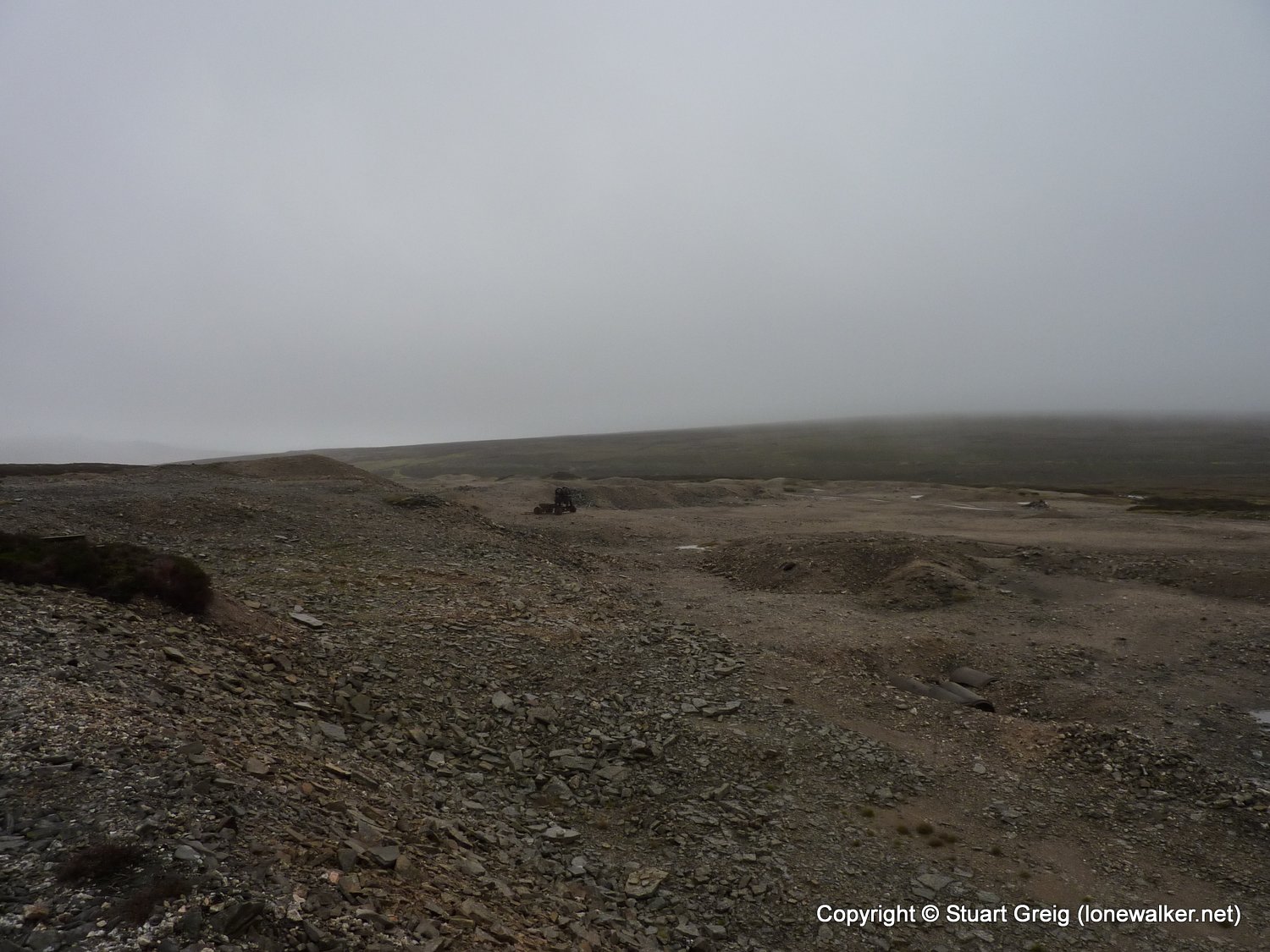
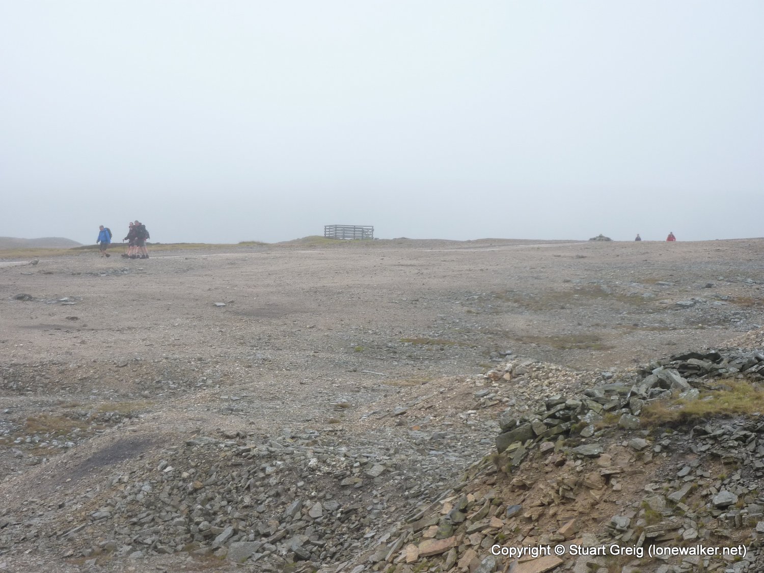
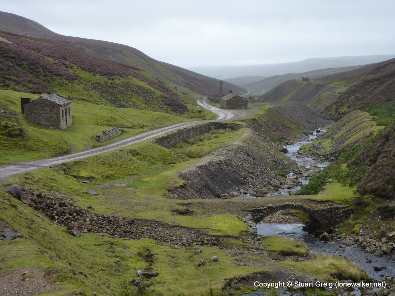
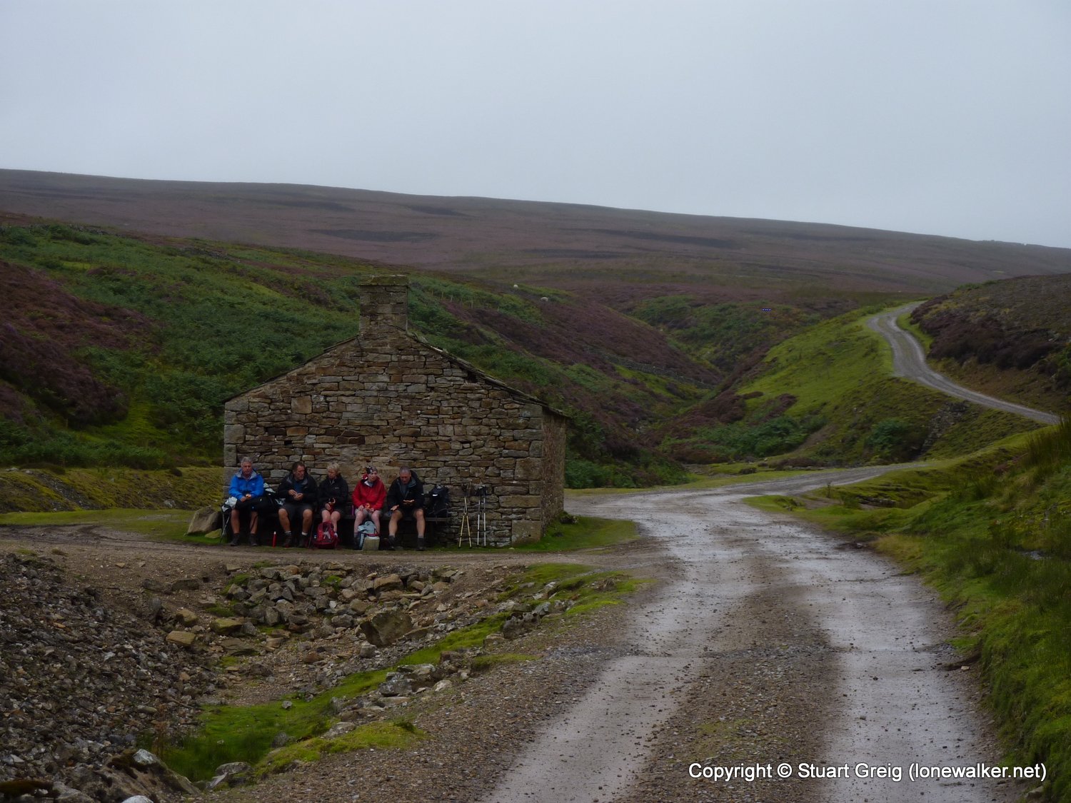
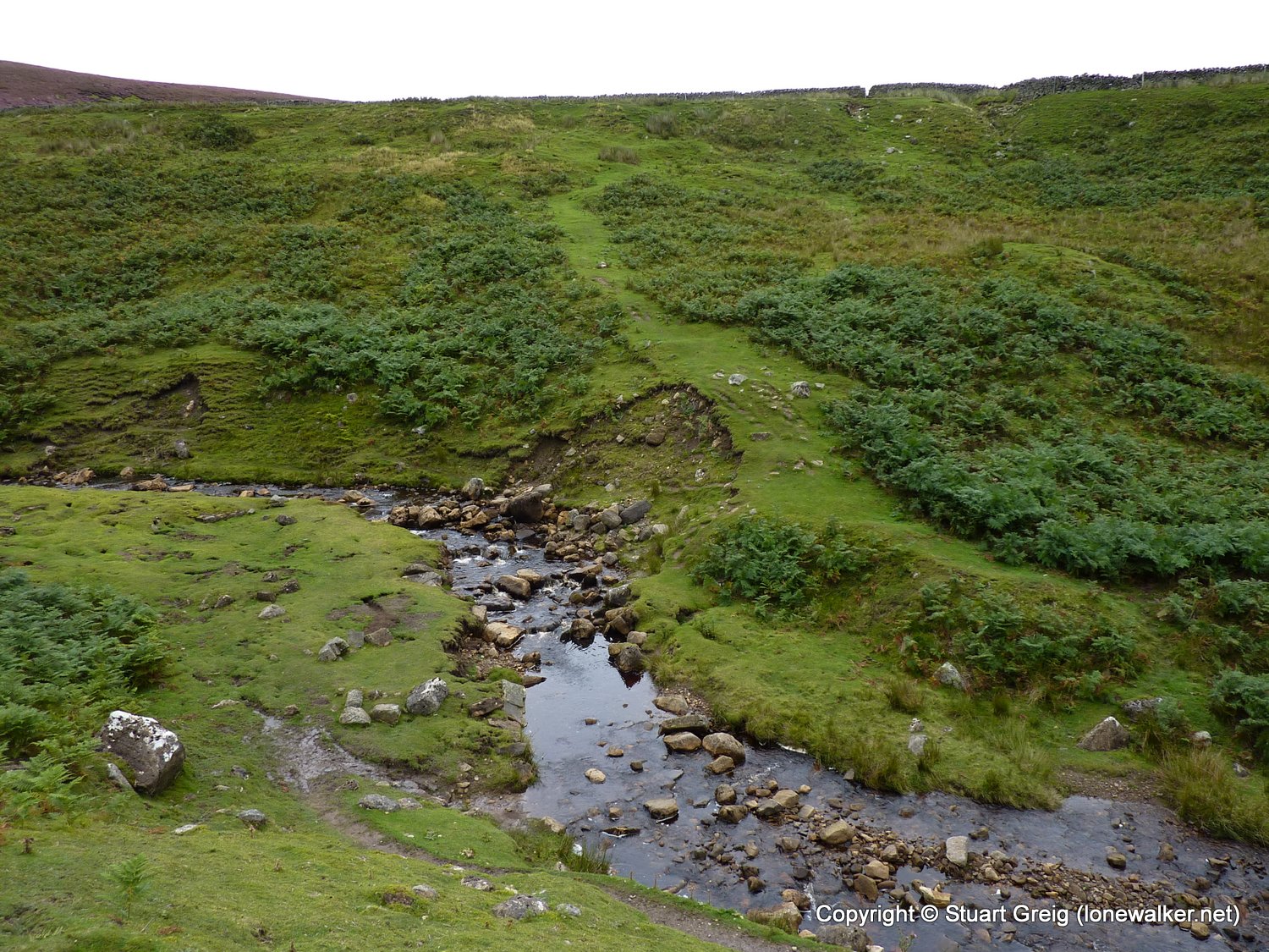
Region: Yorkshire Dales
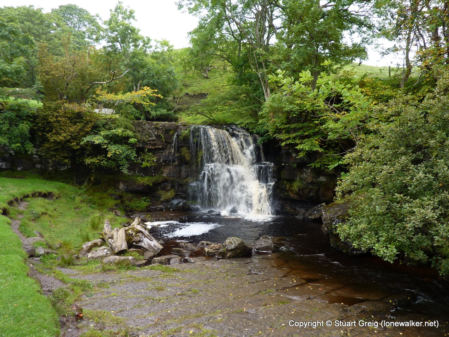
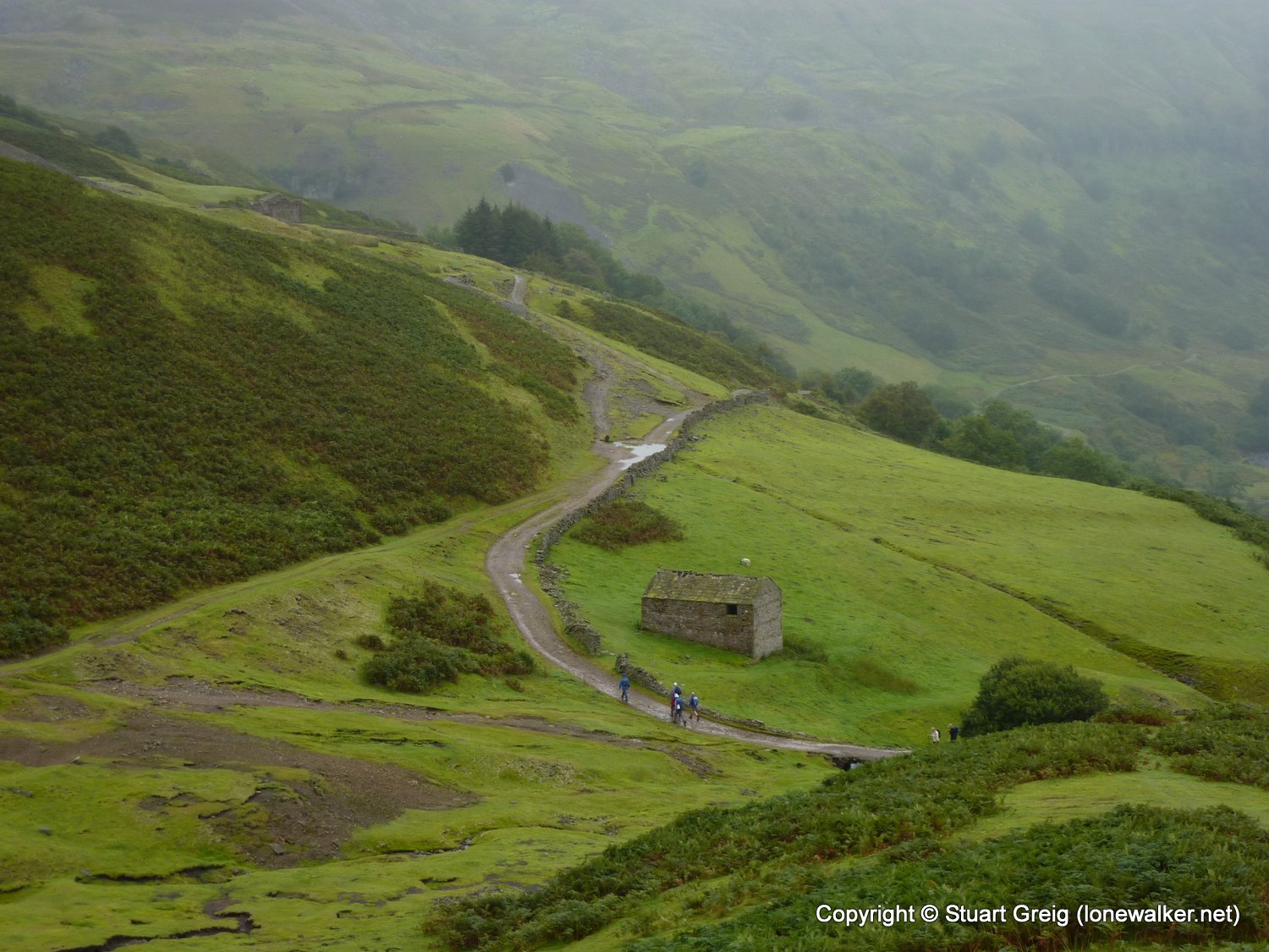
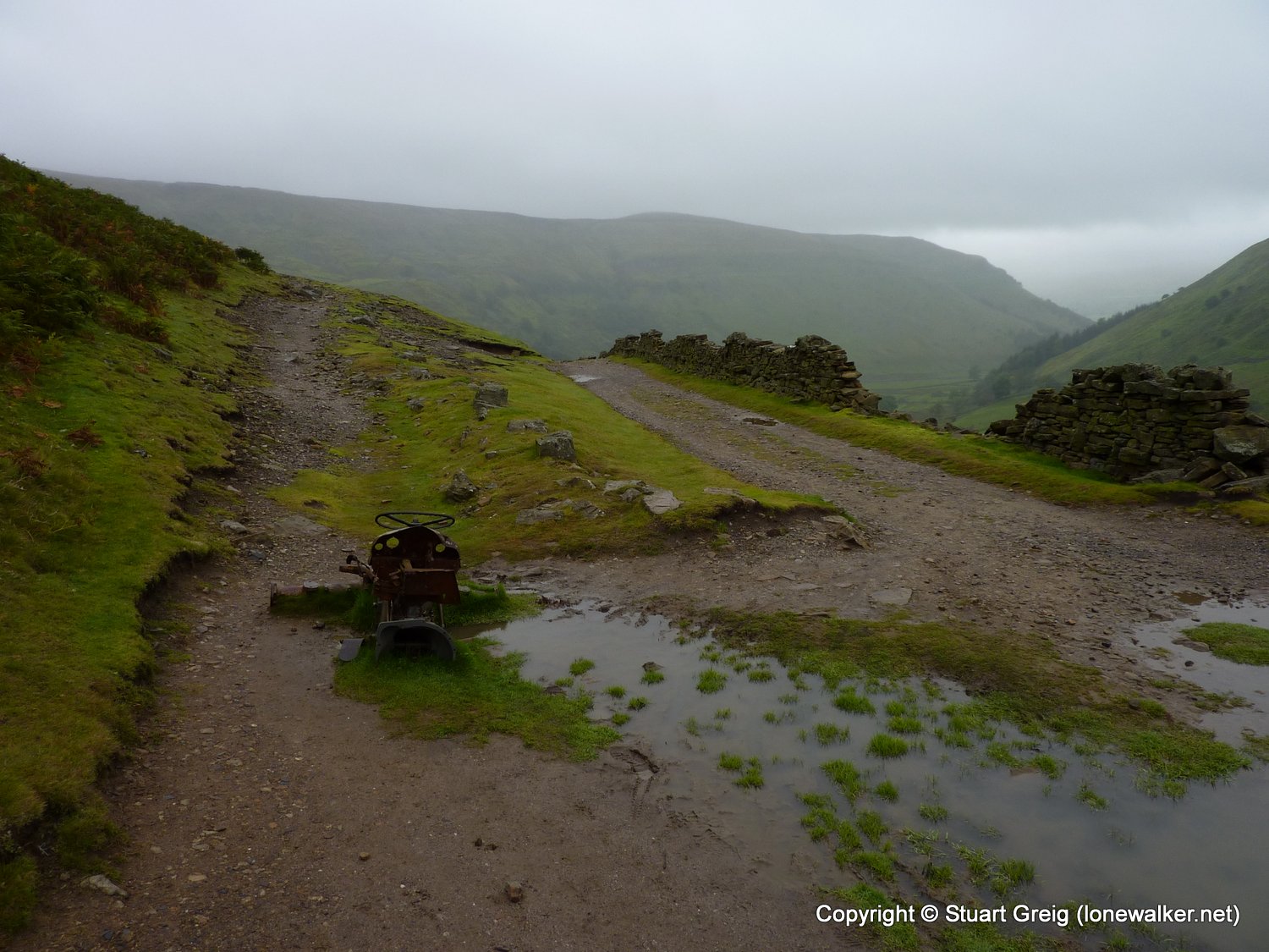
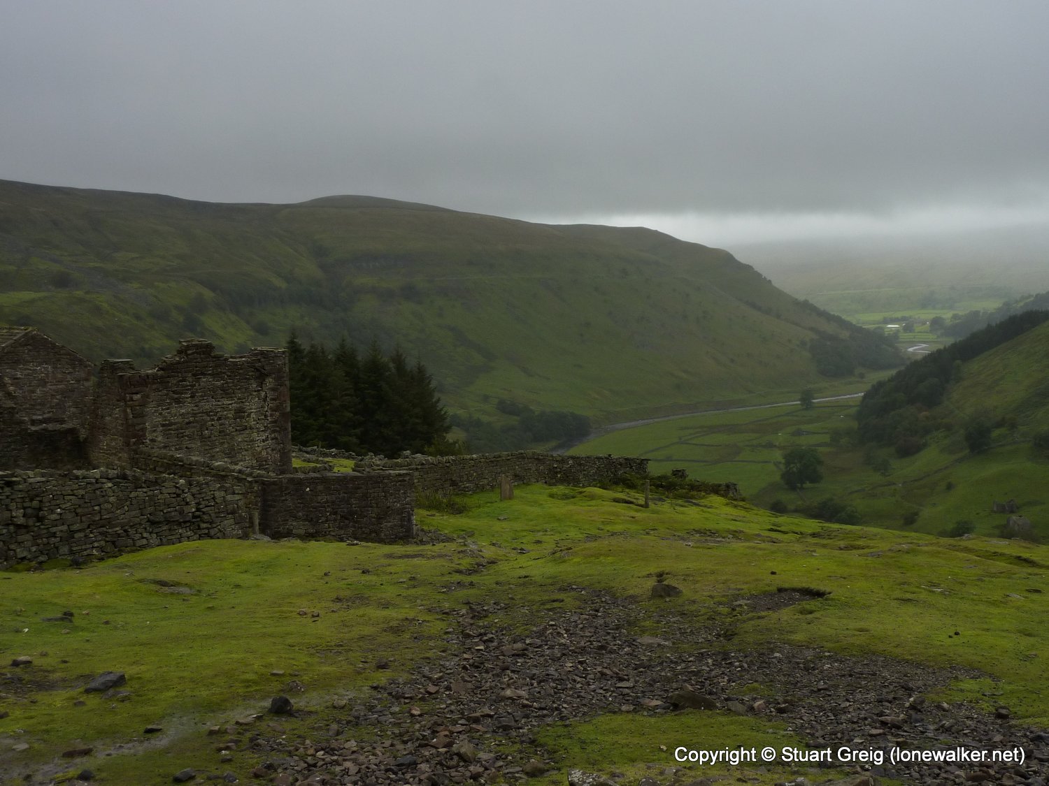
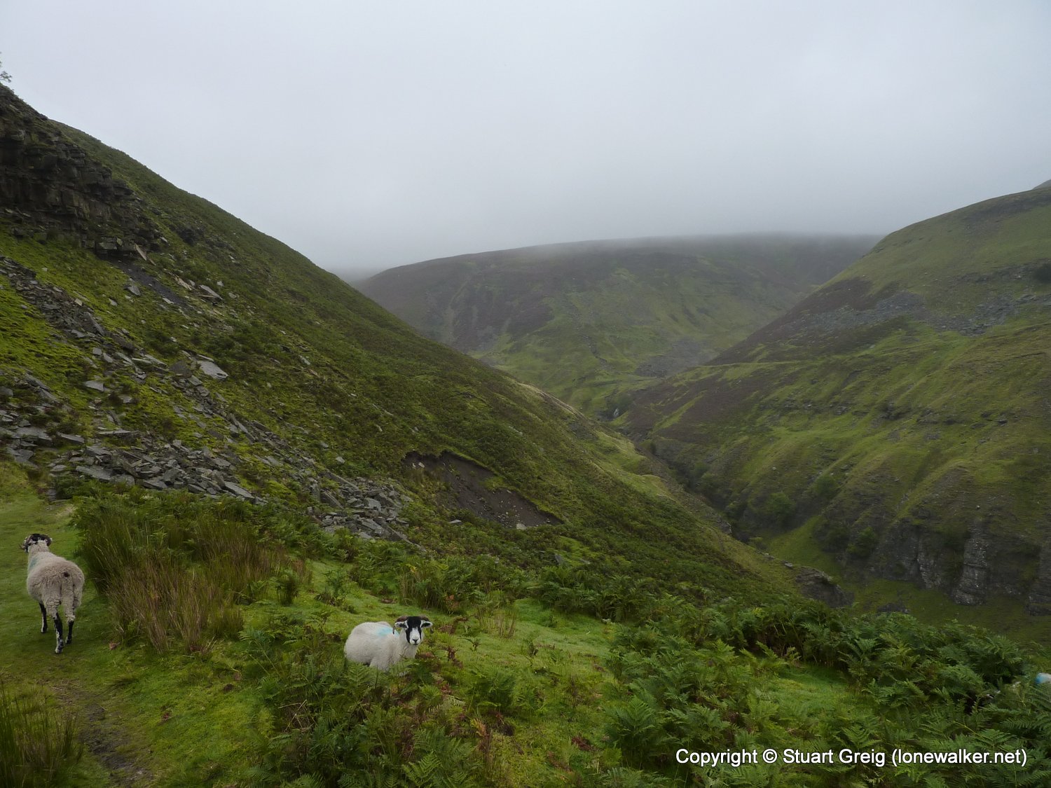
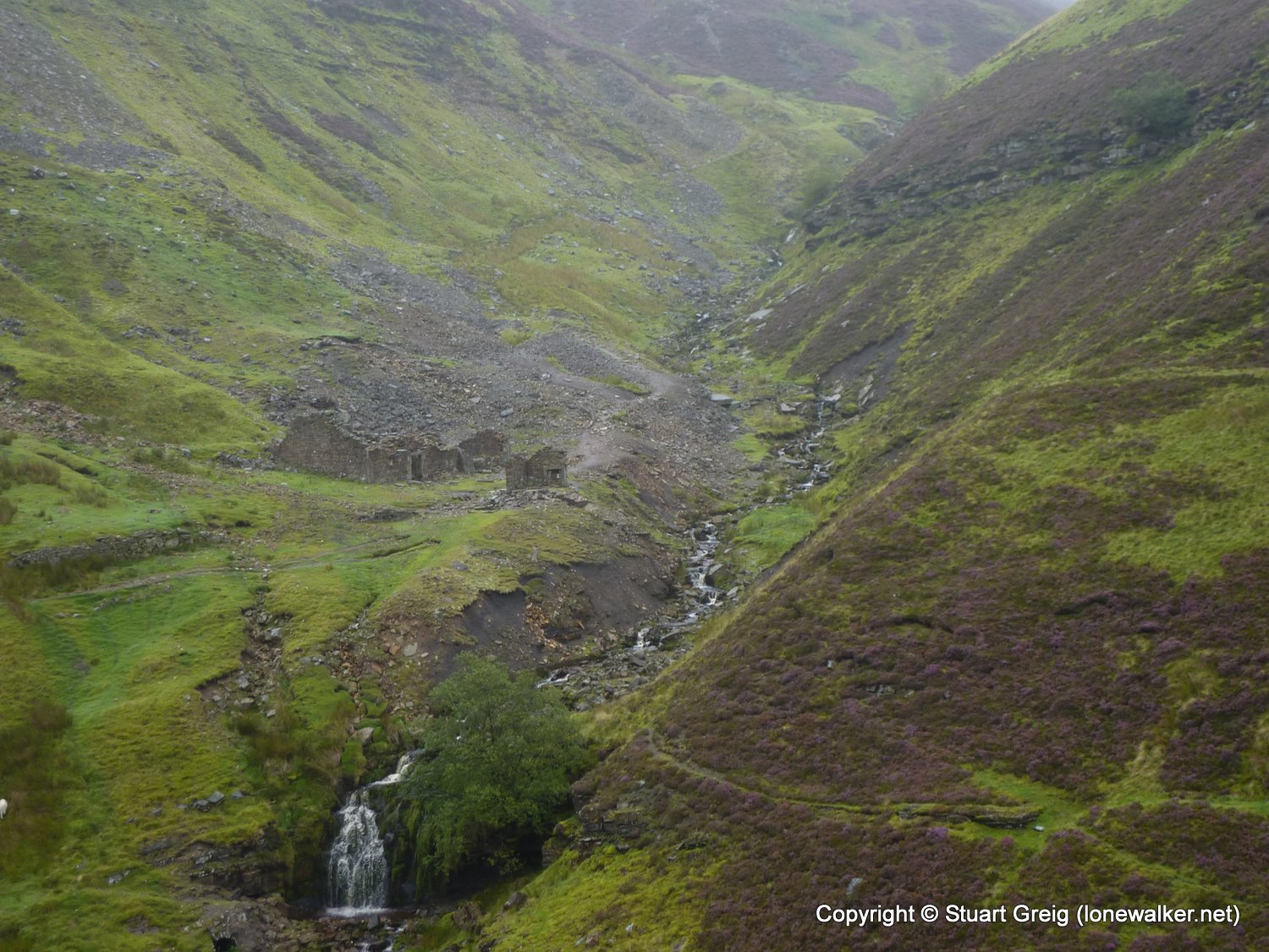
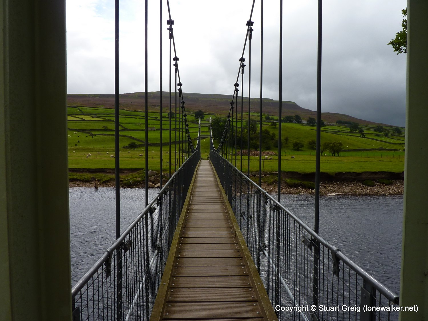
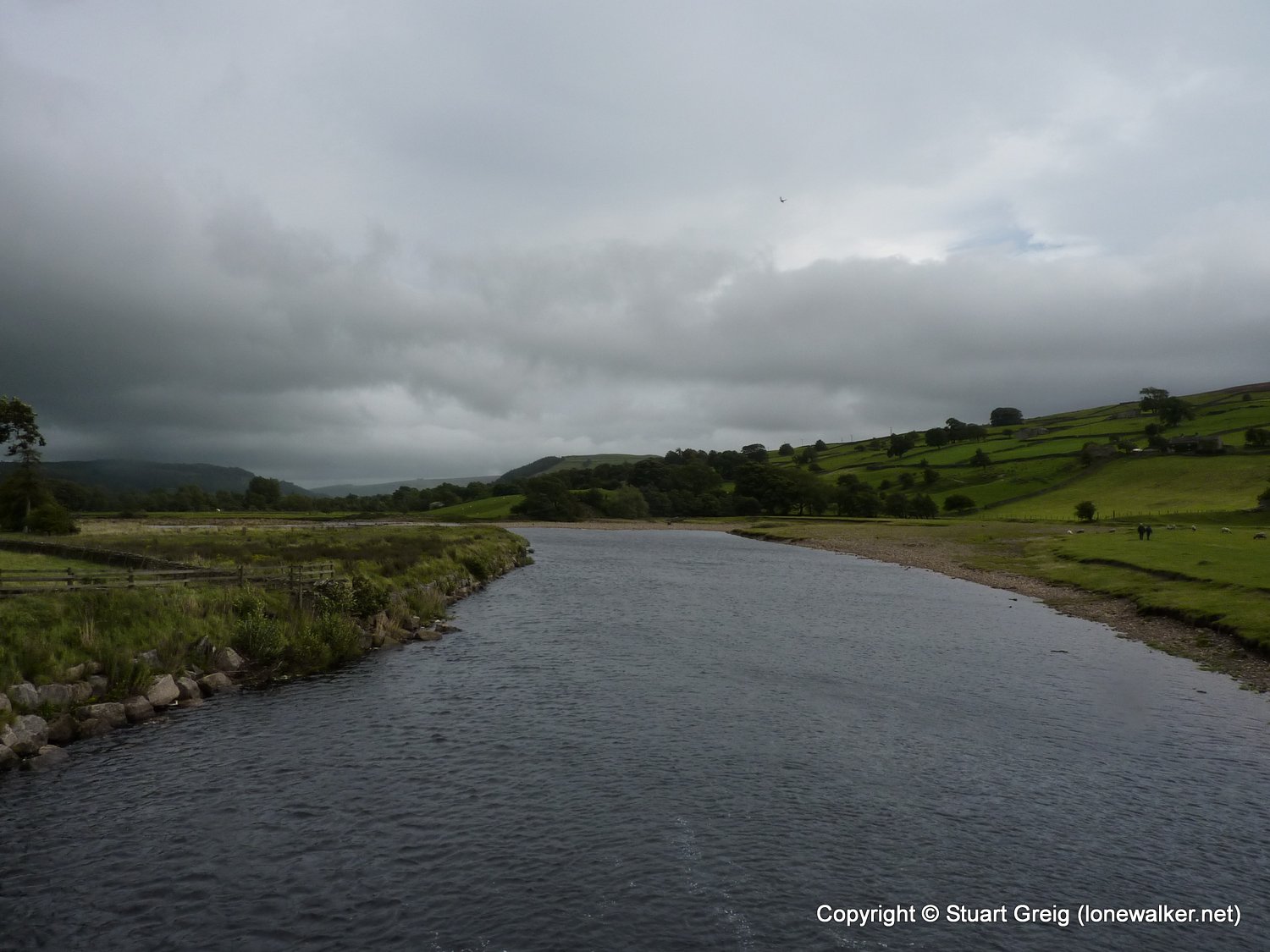
Route Description: Keld, Swinner Gill, Blakethwaite, Old Gang, Surrender Bridge, Cringley Bottom, Healaugh, riverside path, Reeth
Parking Grid Ref: NY 89265 01203
View Parking space in: OS Map or Google Street View
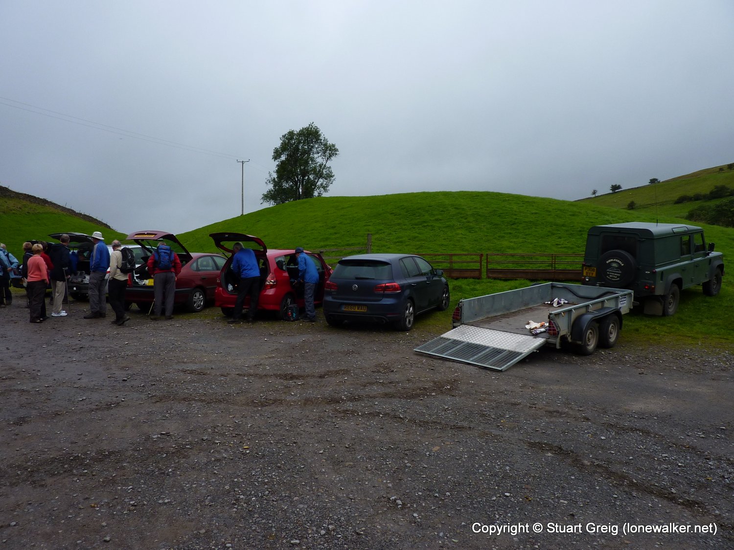
Walking with: Alone
Long Distance Path:
Click any image to open the full screen photo gallery
Walk Name: Ingleborough from Ingleton
Date: 2011-09-03
Distance: 11.0 mls, 17.70 km
Height Gain: 2200 ft, 670.6 m
Walk Name: Kisdon from Keld
Date: 2011-09-10
Distance: 5.0 mls, 8.05 km
Height Gain: 900 ft, 274.3 m