
Another pretty good day of weather with a shower at lunch time and a good day's walking
Date: 2015-05-06
Start: Craingenbay Finish: Stroanpatrick (pick-up point)
Distance: 15.6 mls, 25.11 km
Height Gain: 2100 ft, 640.1 m
Start Time: 08:40 End Time: 14:45
Duration: 06:05
Ave Speed: 2.6 mph
Region: Southern Uplands
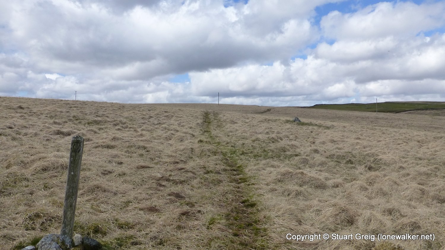
Route Description: Shield Rig, Knockmulloch, Waterside Hill, St. Johns Town of Dalry, Knowhead of Ardoch, Earlstoun Burn, Old Hill of Mackilston, Culmark Hill, Stroanpatrick
Parking Grid Ref:
View Parking space in: OS Map or Google Street View
Walking with: Alone
Long Distance Path: Southern Upland Way
Link to full Walk Report: https://lonewalker.net/suw-2015-day-5/
Download GPX file for this walk:
If your browser opens the file directly, right click and "Save As.."
13561 - Waterside Hill (564 ft)
Click any image to open the full screen photo gallery


")


Walk Name: Bargrennan to Crainenbay
Date: 2015-05-06
Distance: 17.8 mls, 28.65 km
Height Gain: 2000 ft, 609.6 m
Walk Name: Stroanpatrick to Sanquhar
Date: 2015-05-08
Distance: 18.9 mls, 30.42 km
Height Gain: 2900 ft, 883.9 m