
Date: 2006-06-17
Start: Weag's Bridge Finish: Weag's Bridge
Distance: 15.0 mls, 24.14 km
Height Gain: 2200 ft, 670.6 m
Start Time: 07:43 End Time: 12:34
Duration: 04:51
Ave Speed: 3.1 mph
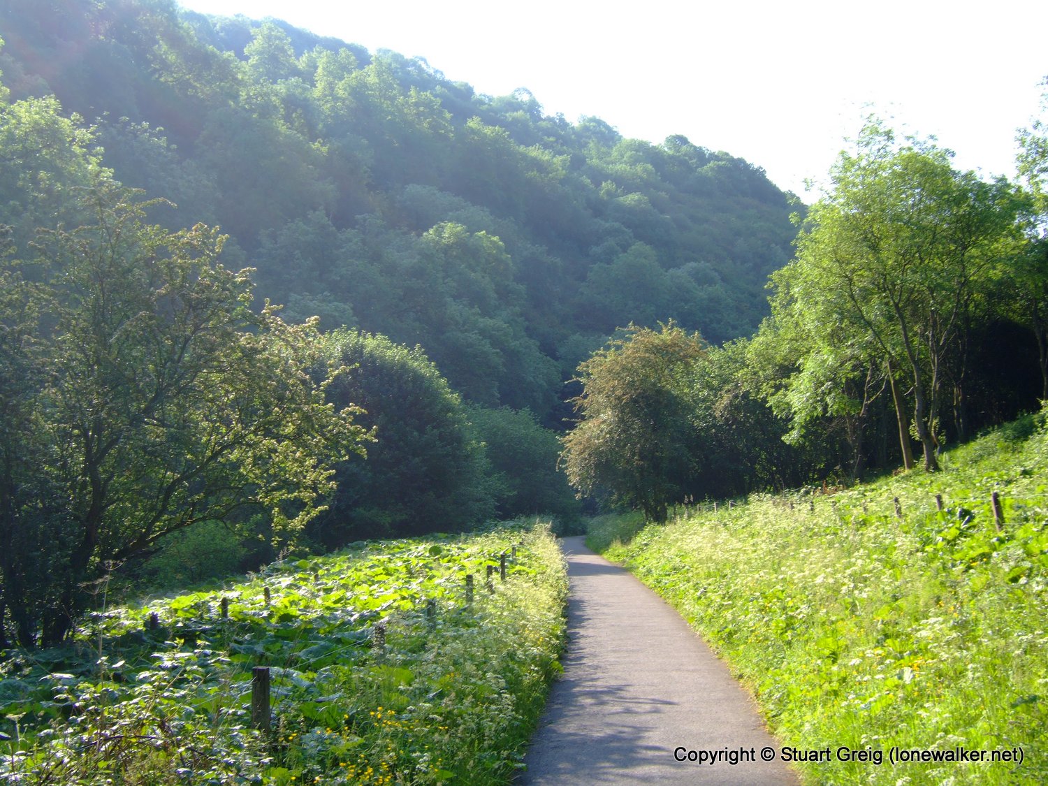
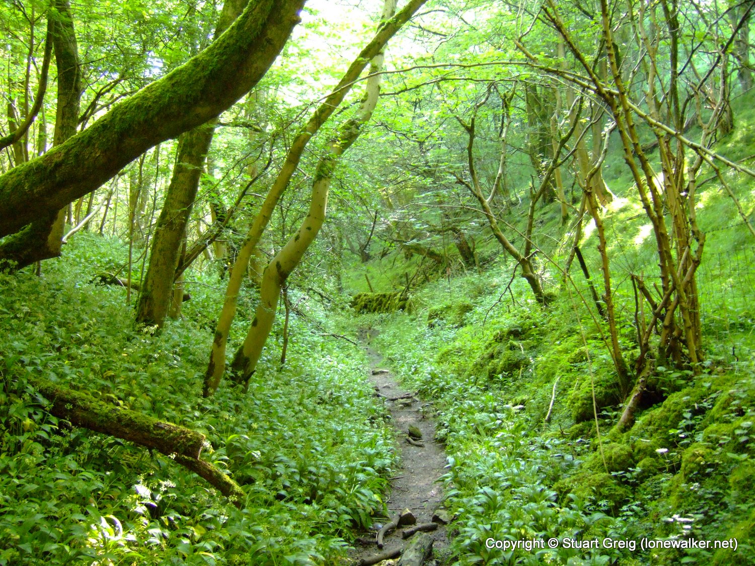
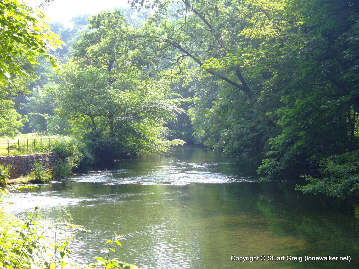
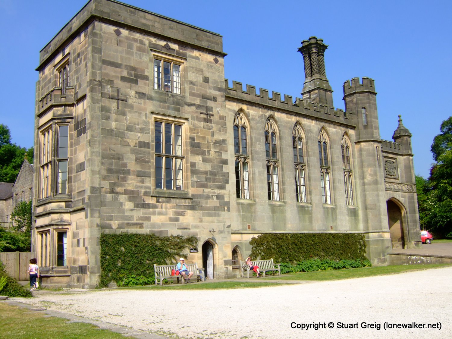
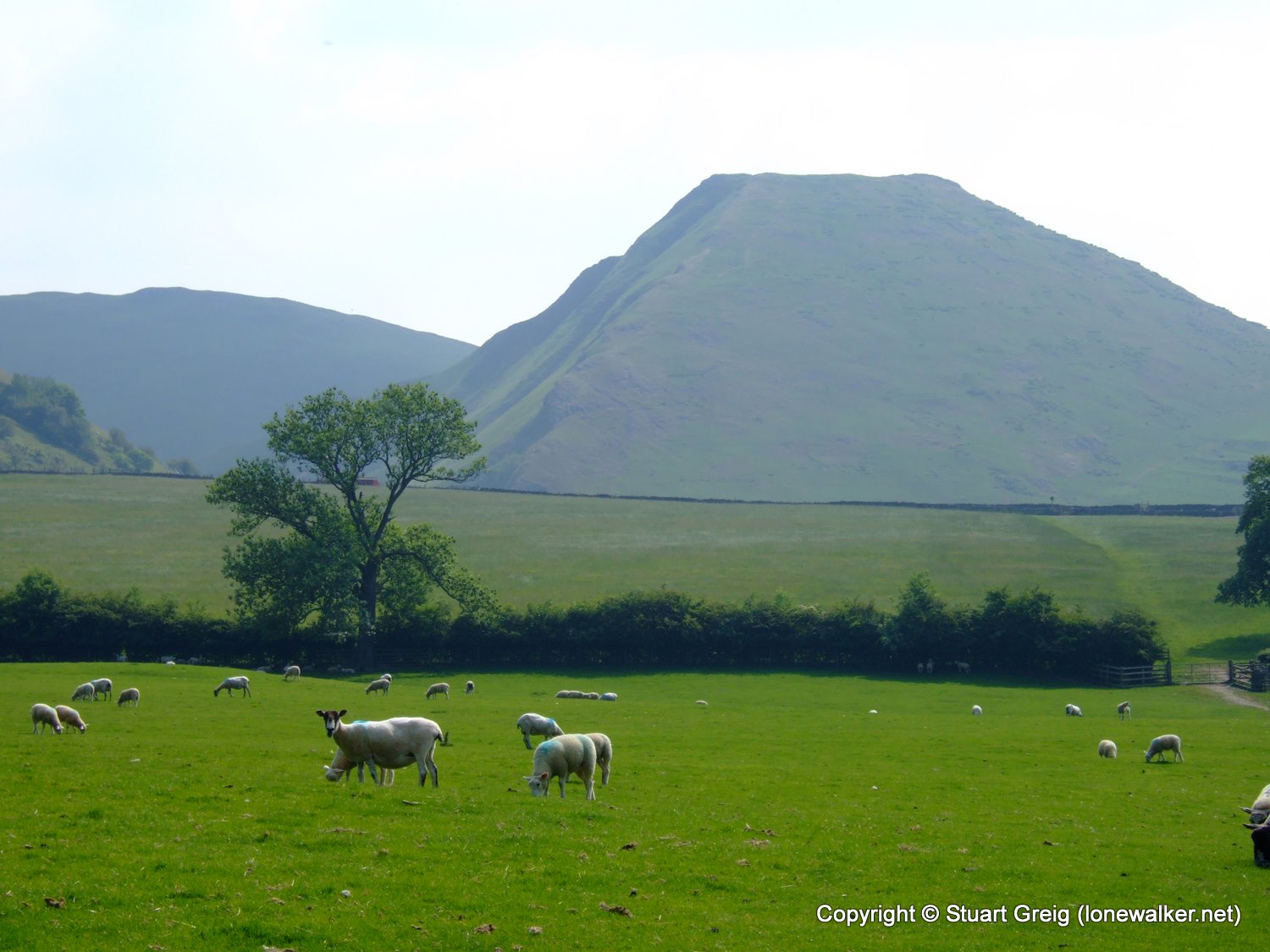
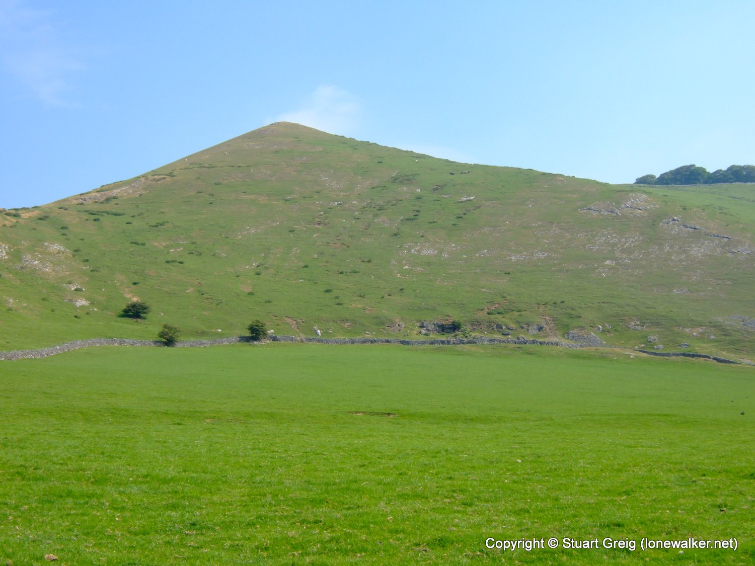
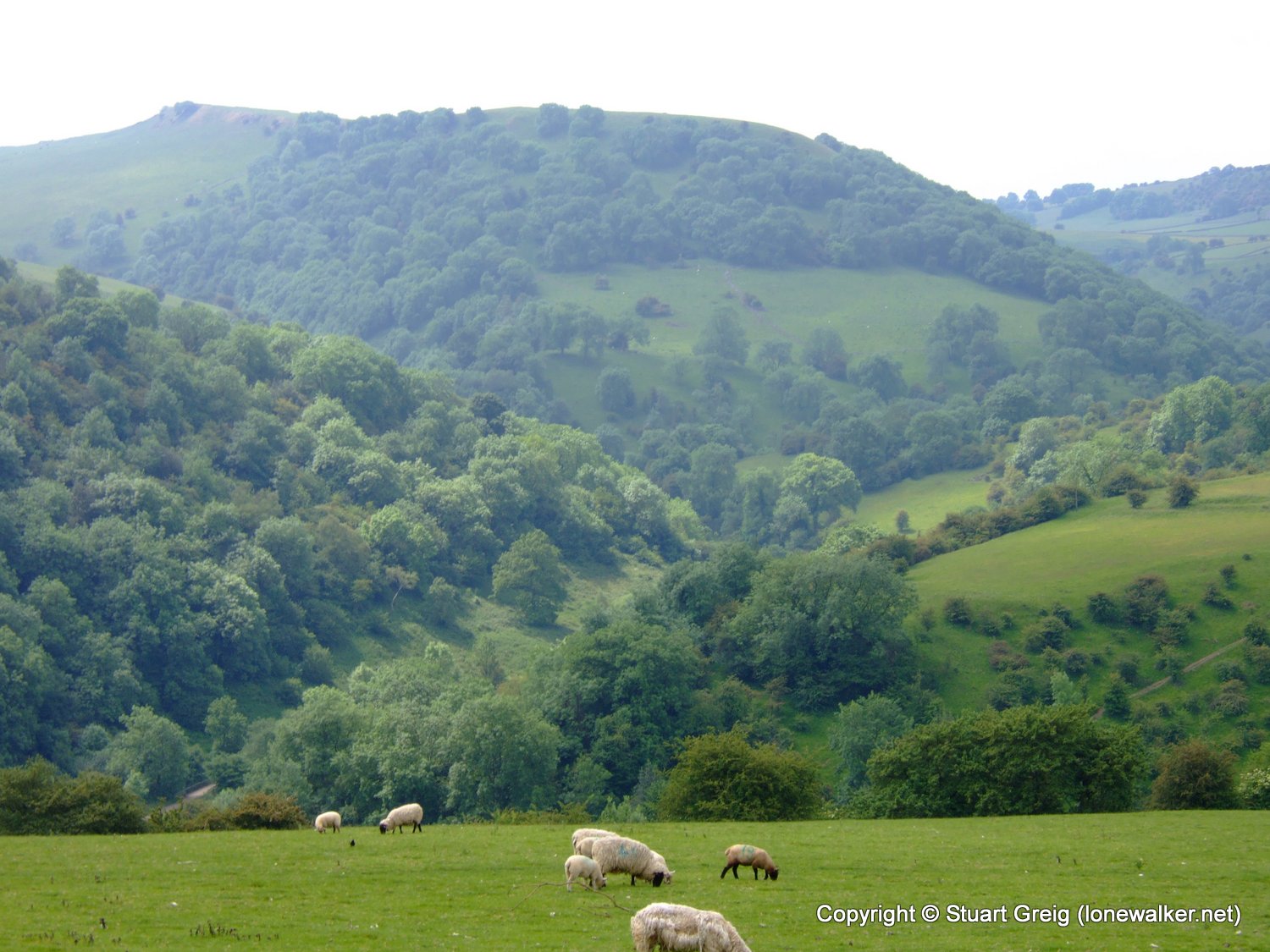
Region: Peak District
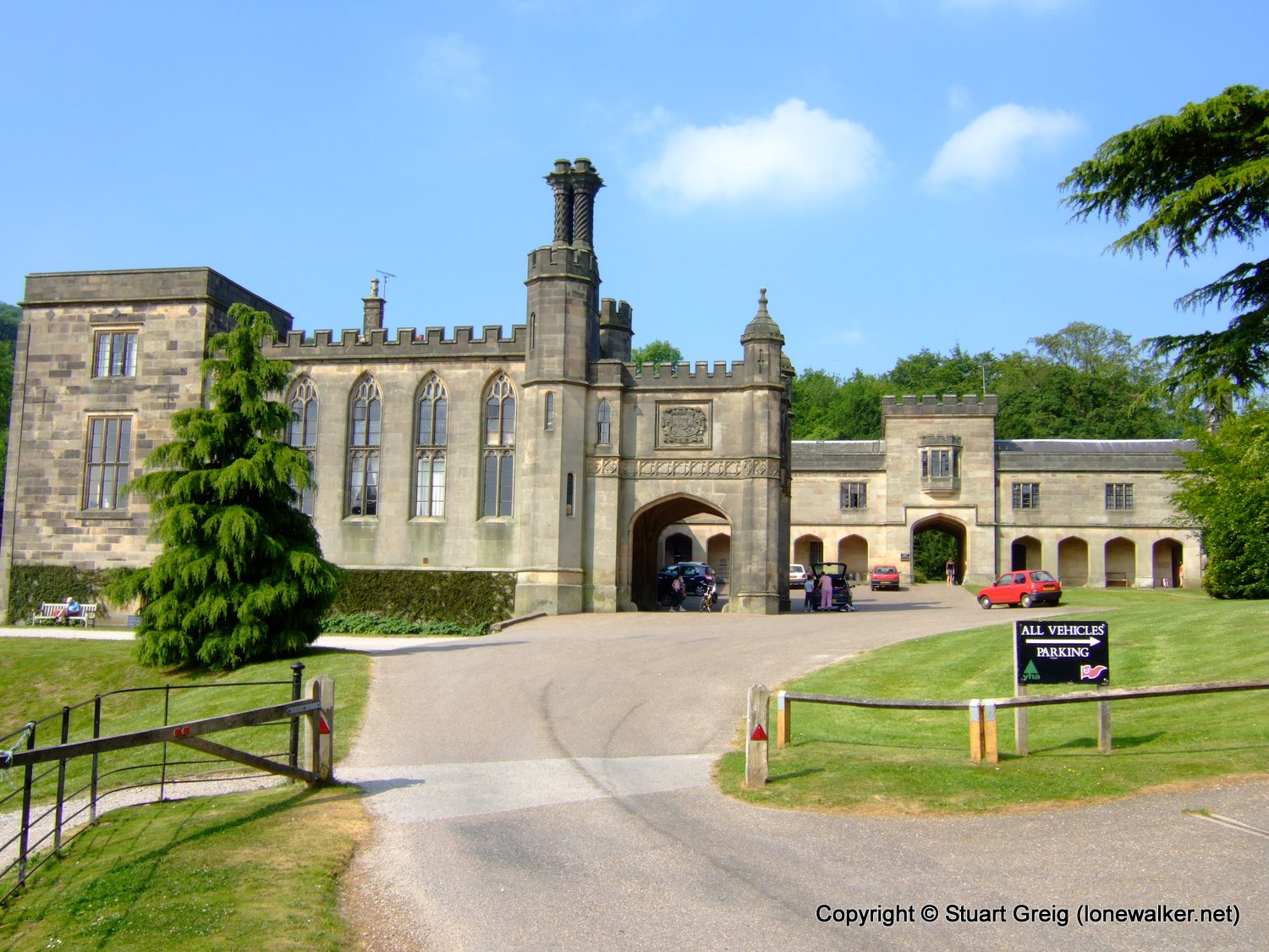
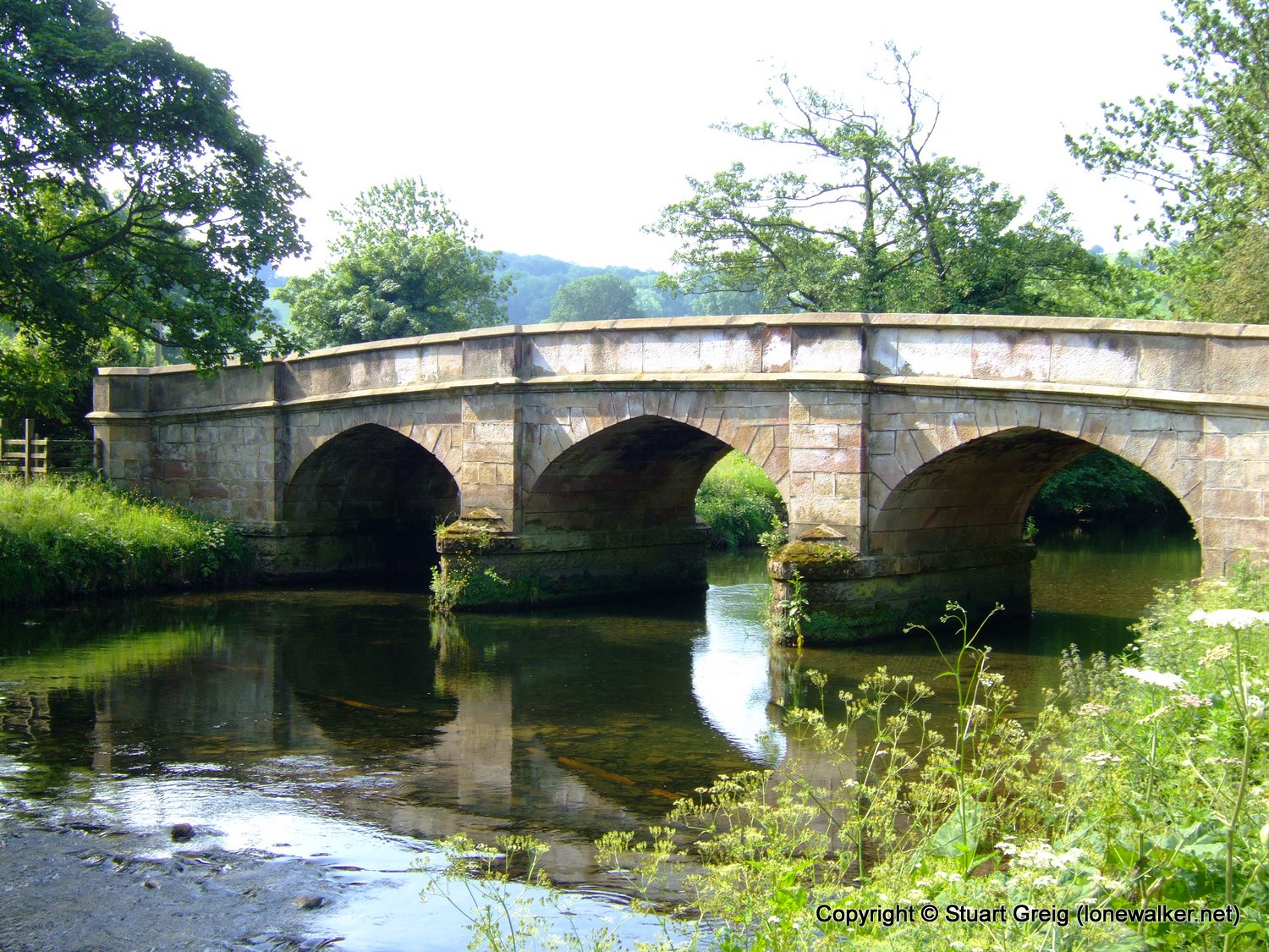
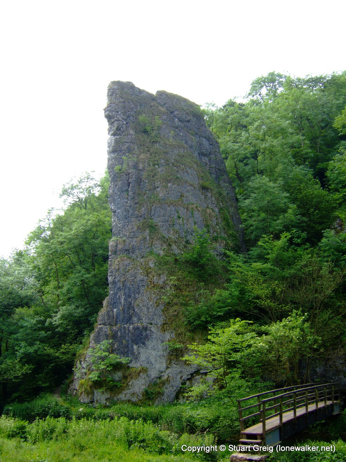
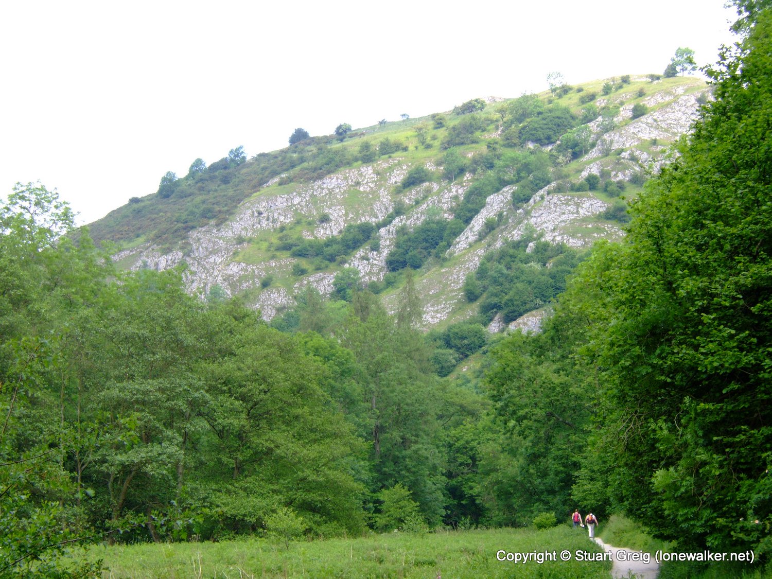
Route Description: Weag's Bridge, Wetton, Alstonefield, Milldale, Dove Dale, Ilam, Rushley, Calton, River Hamps and Manifold Way back to Weag's Bridge
Parking Grid Ref: SK 09990 54206
View Parking space in: OS Map or Google Street View
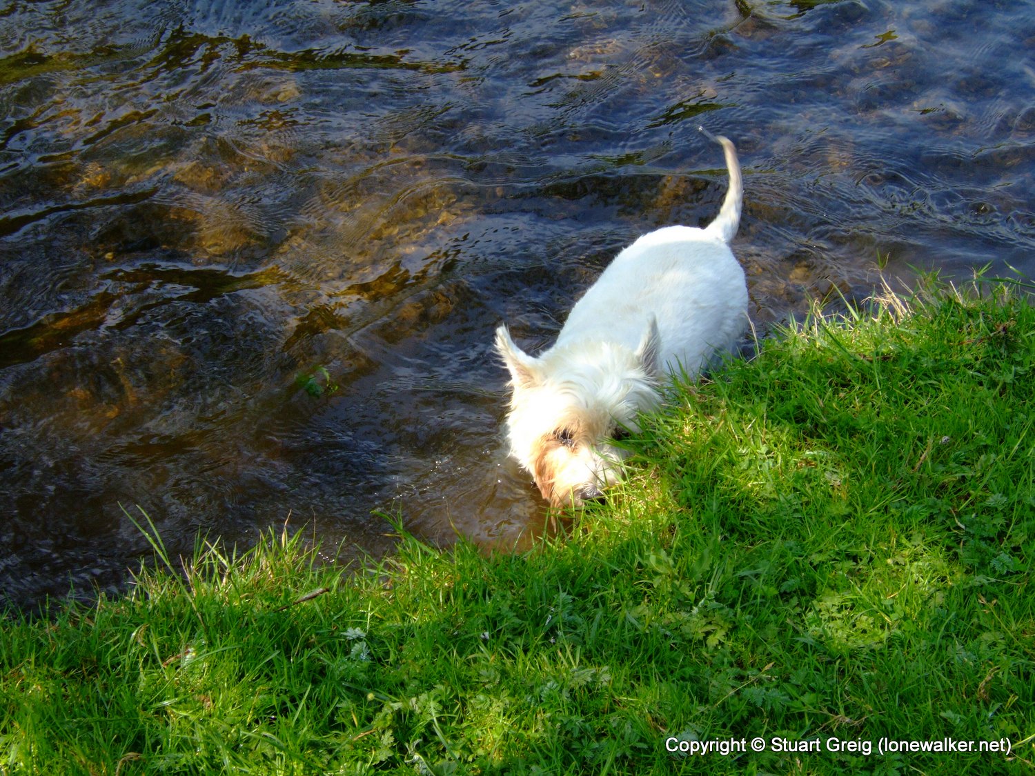
Walking with: Alone
Long Distance Path:
Click any image to open the full screen photo gallery

Walk Name: Wolfscote Dale
Date: 2006-06-11
Distance: 12.5 mls, 20.12 km
Height Gain: 2400 ft, 731.5 m
Walk Name: Croker Hill & Shutlingsloe
Date: 2006-07-01
Distance: 12.5 mls, 20.12 km
Height Gain: 2600 ft, 792.5 m