
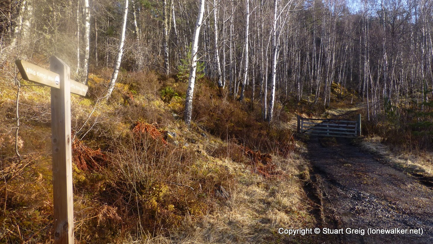
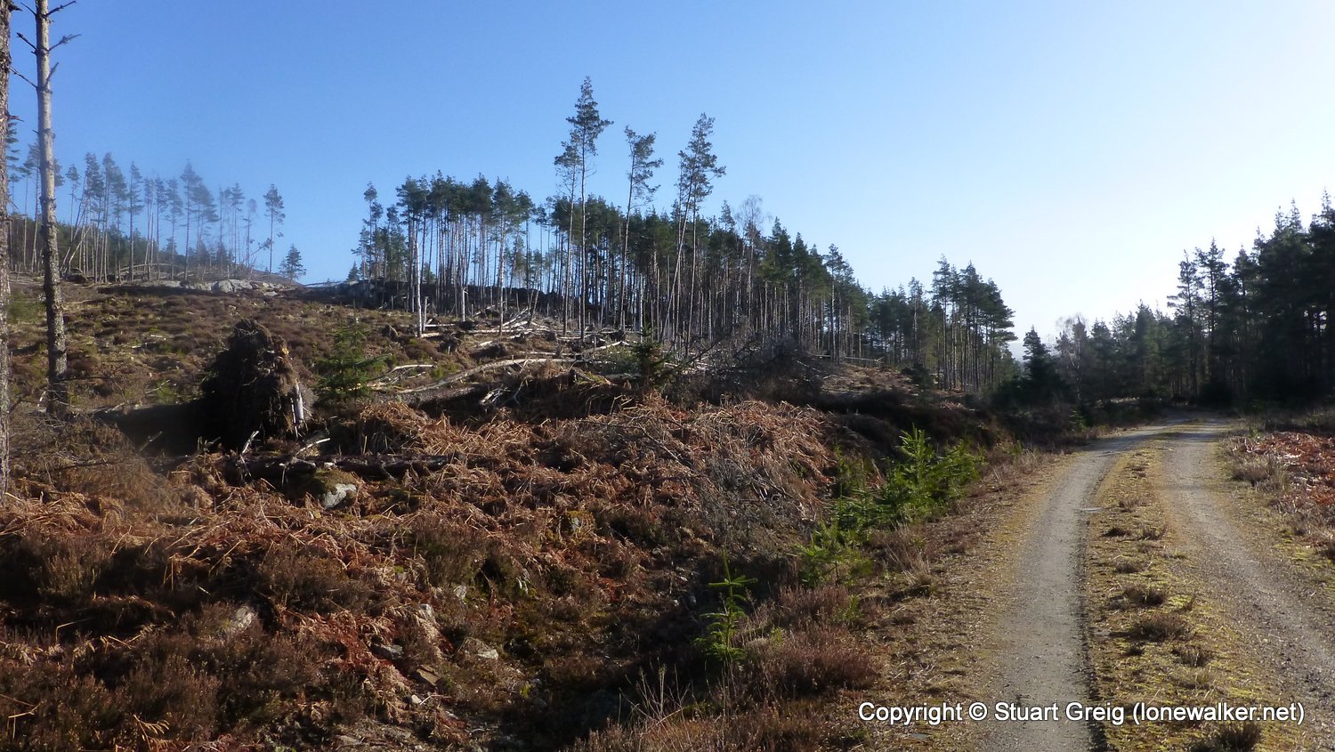
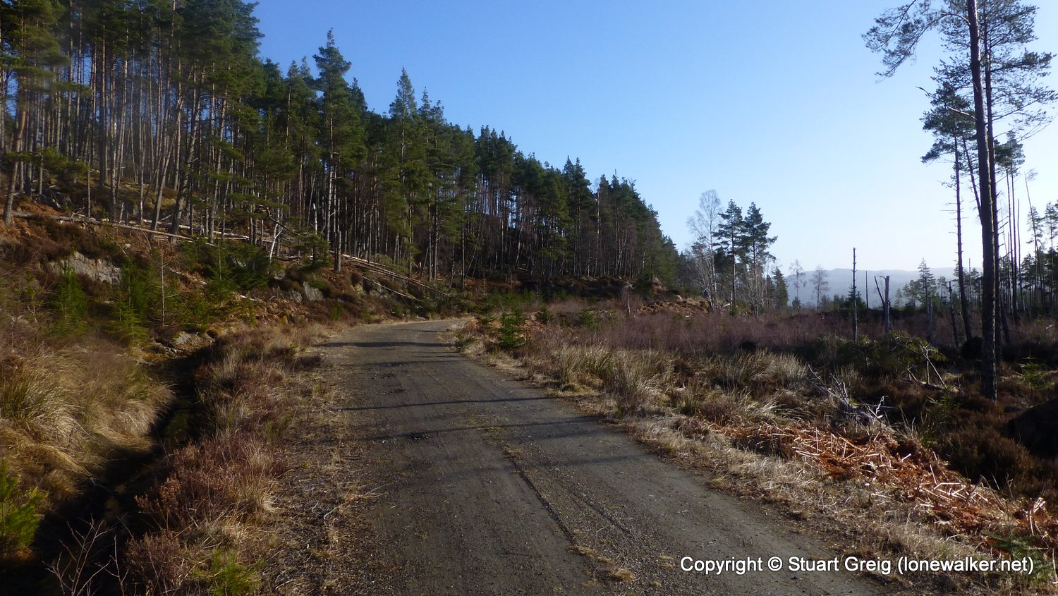
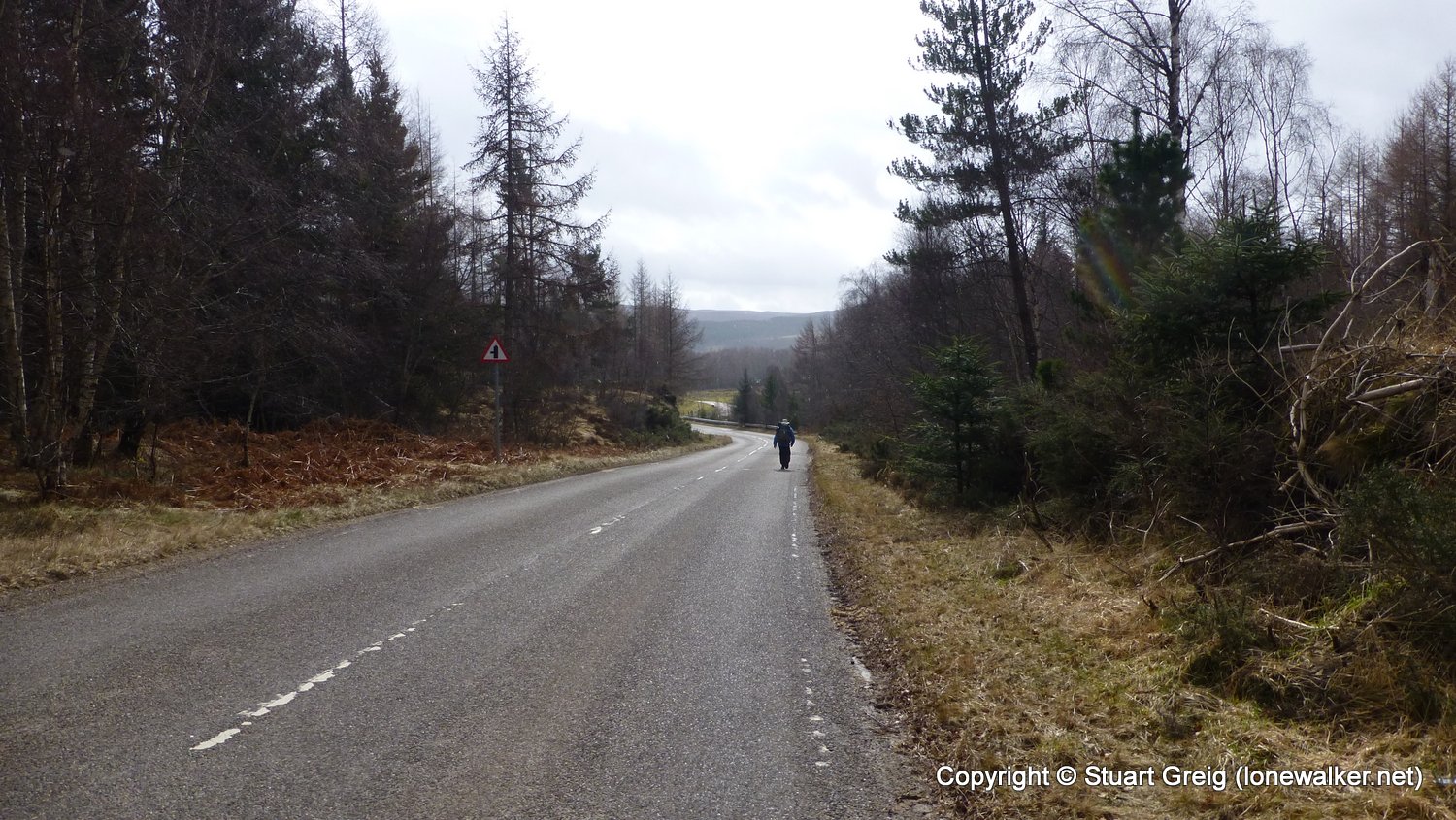
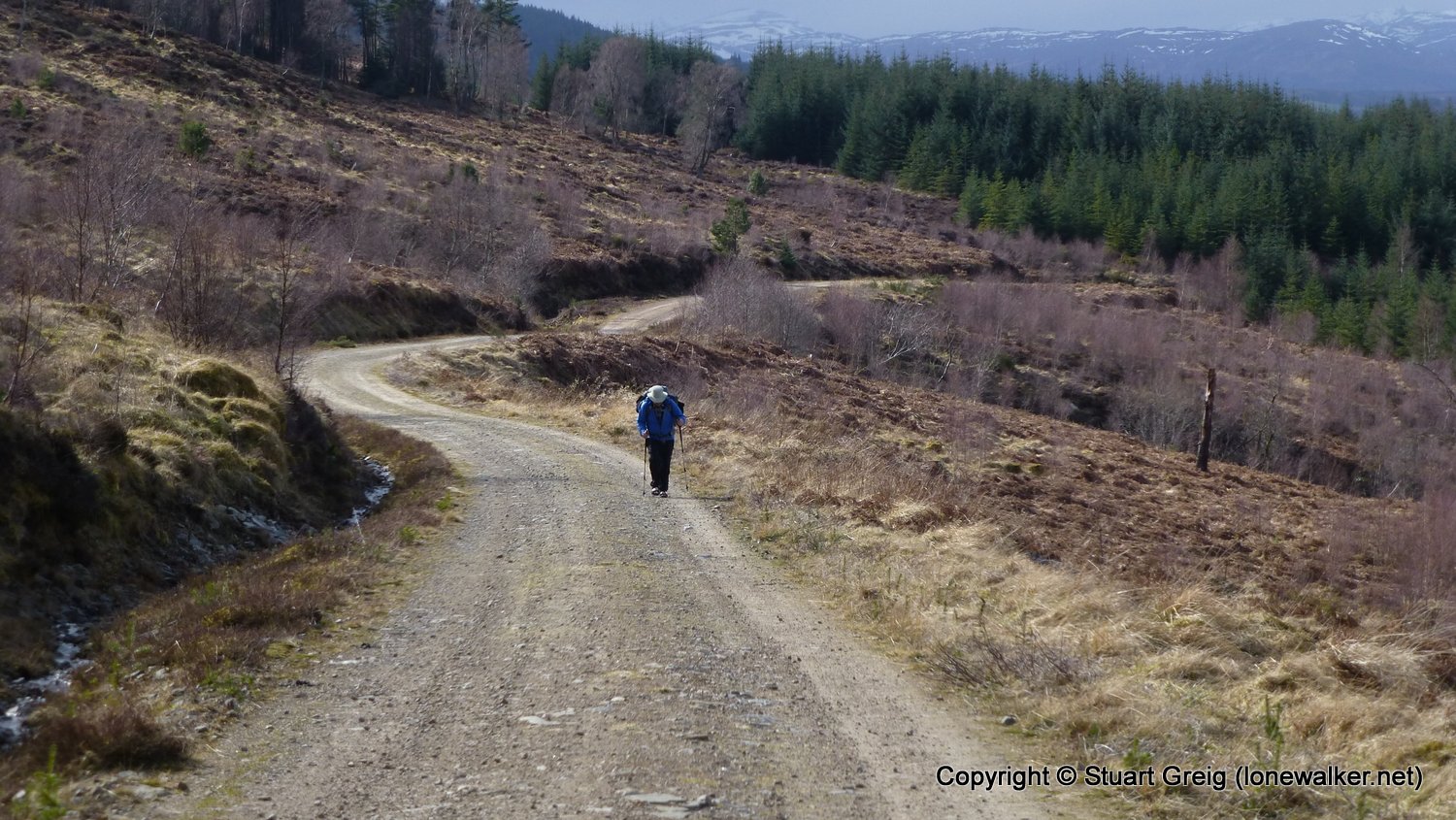
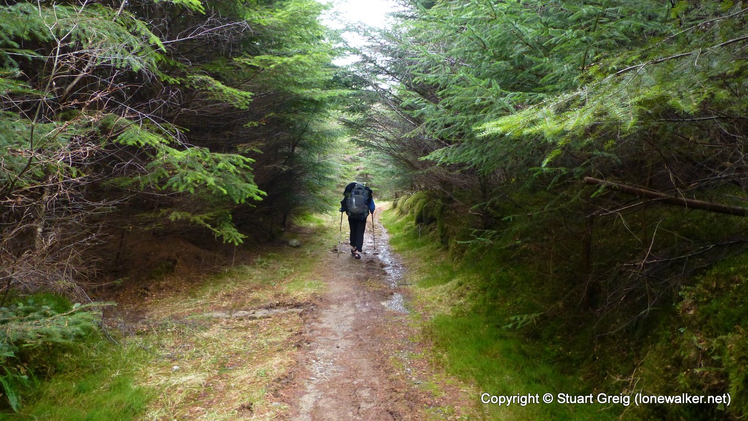
Much better weather today, lots of sunshine but harsh paths again, especially the road section out of Cannich which was brutal. Pushed hard today as we decided to complete, rather than find a wild camp spot close to Drumnadrochit. Feet in bits at the end of the walk and not impressed with the Affric Kintail if I'm honest - apart from the first 12 miles of it!
Date: 2016-03-25
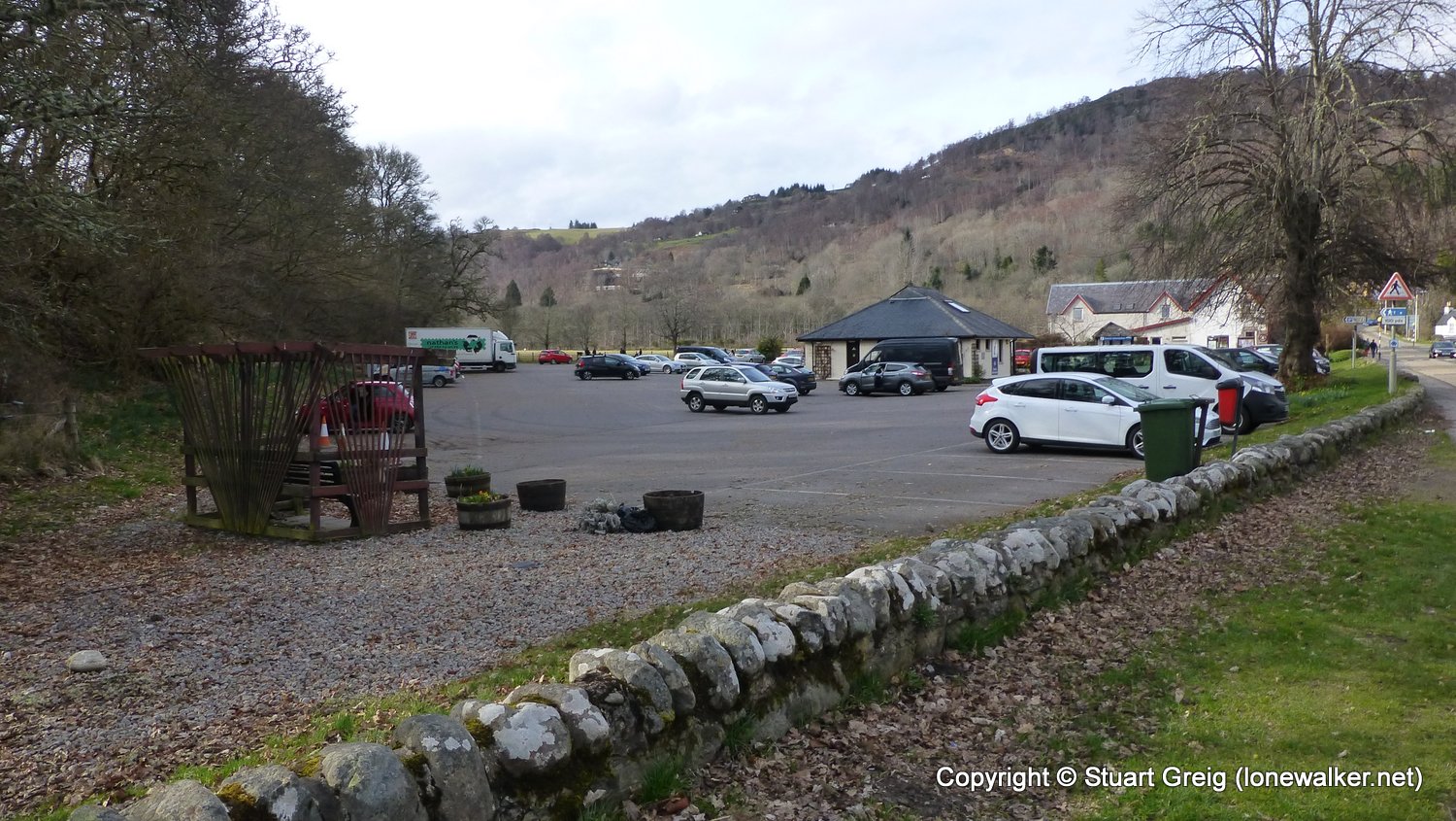
Start: Loch Beinn a Mheadhoin Finish: Drumnadrochit
Distance: 21.0 mls, 33.80 km
Height Gain: 2600 ft, 792.5 m
Start Time: 06:50 End Time: 16:00
Duration: 09:10
Ave Speed: 2.3 mph
Region: North West Highlands
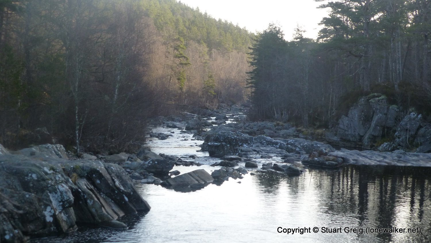
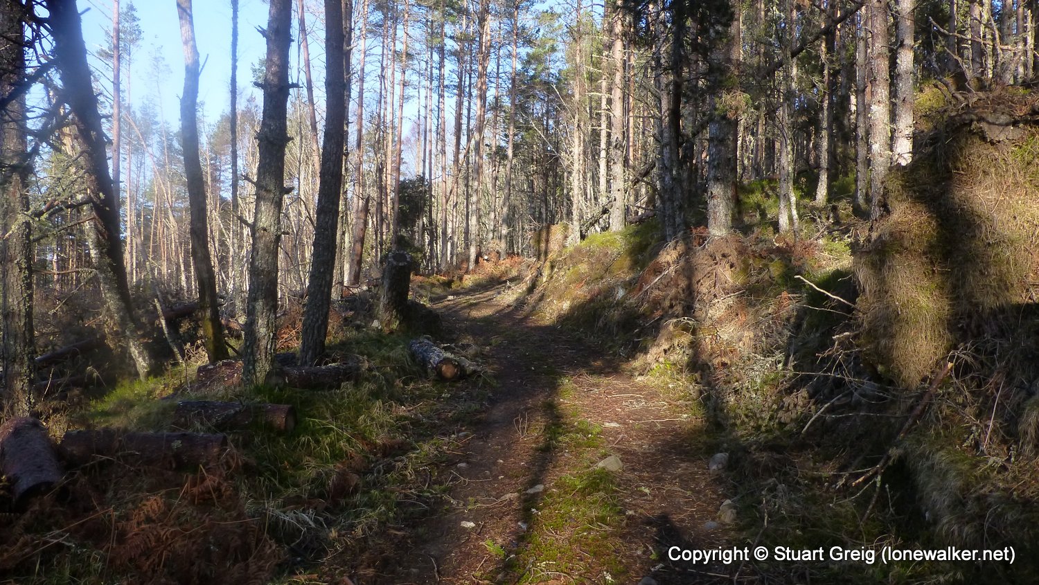
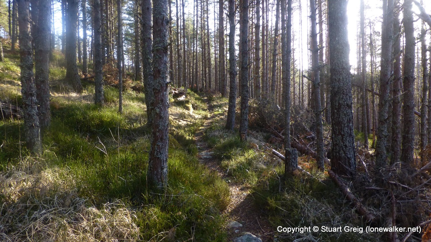
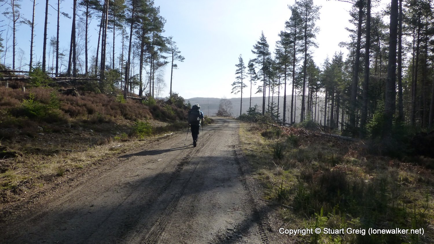
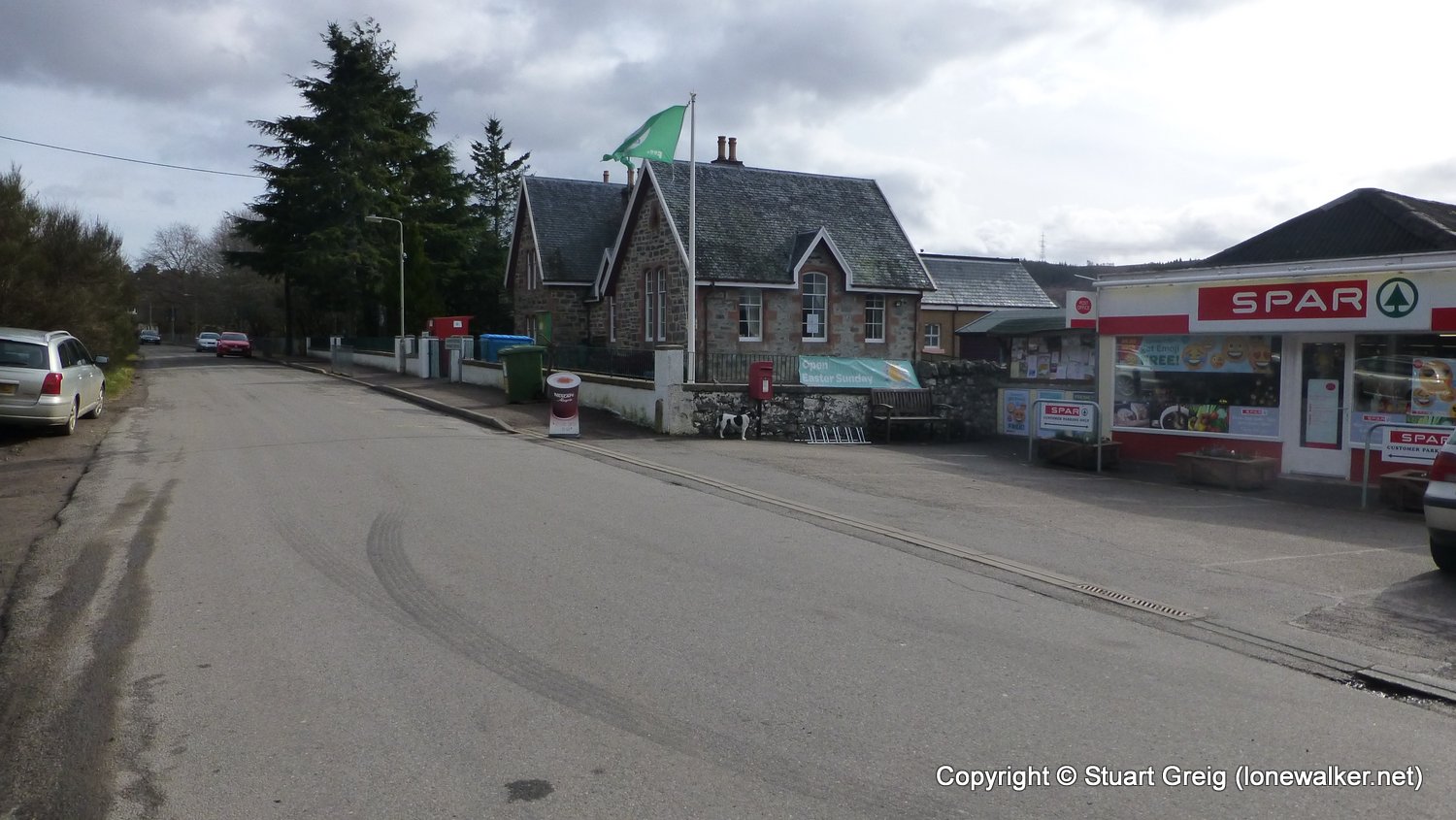
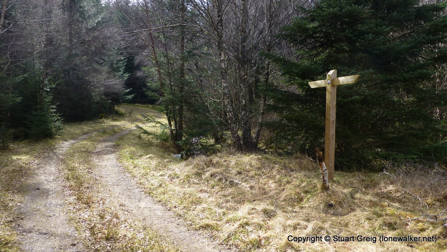
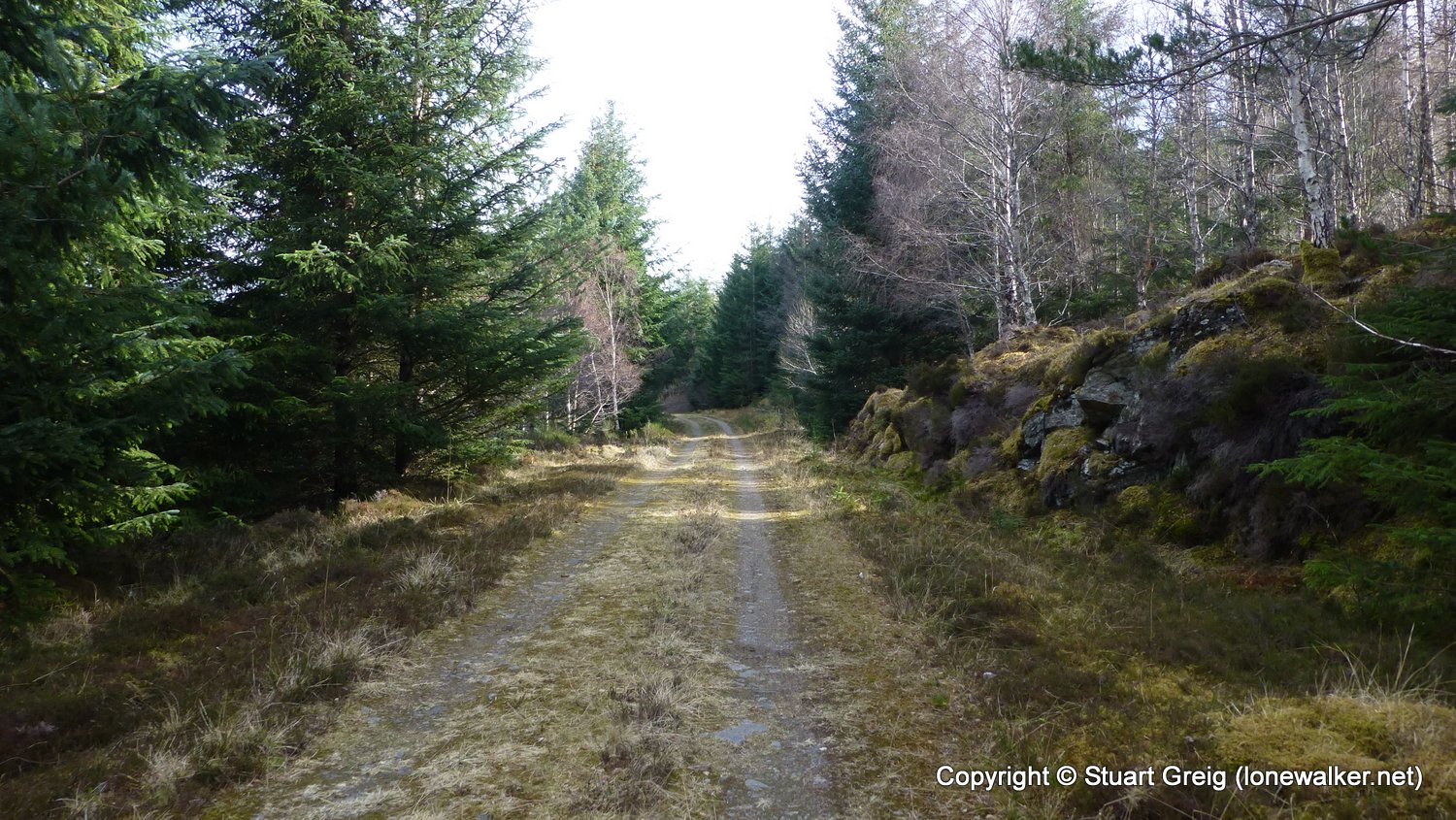
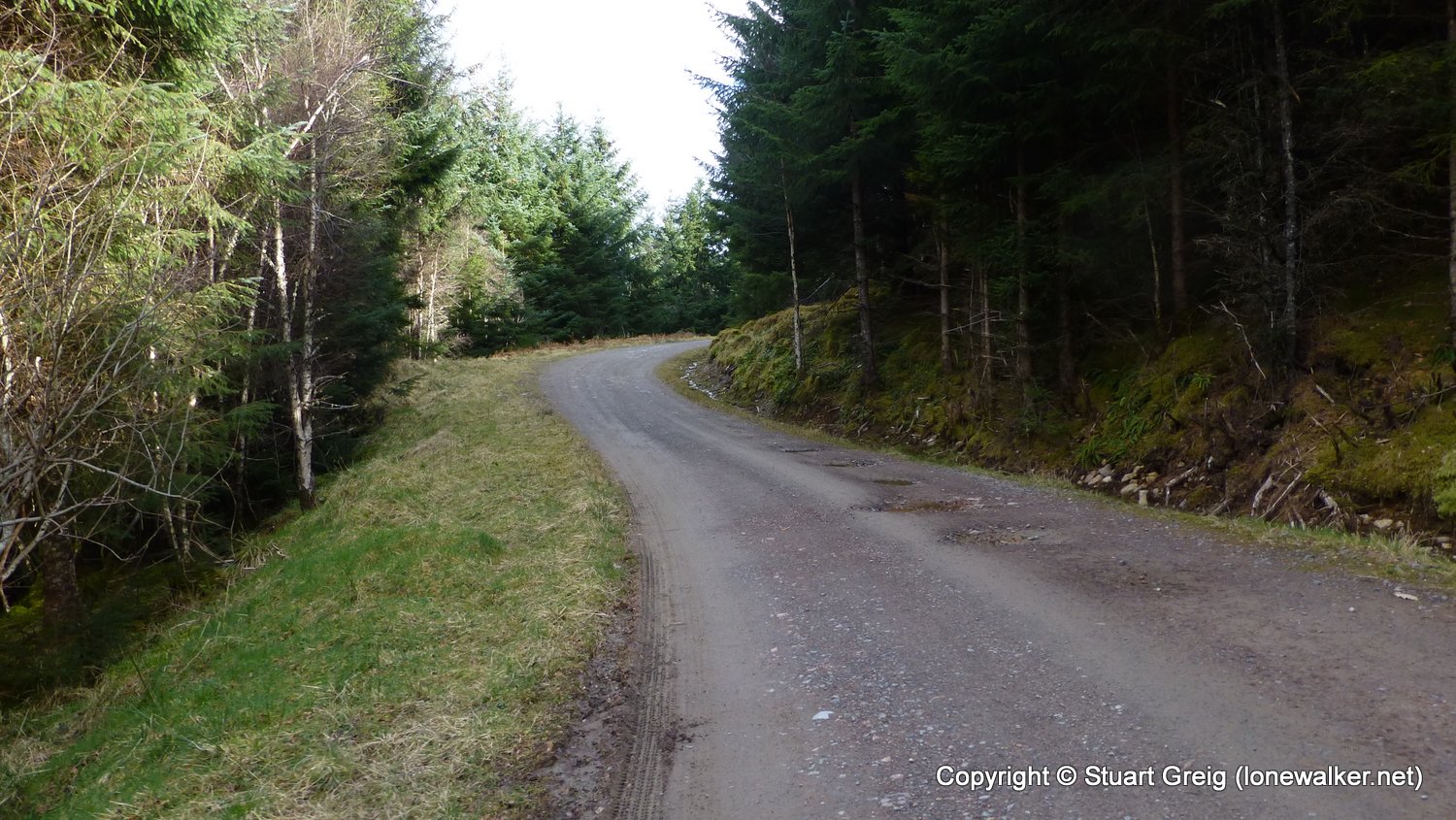
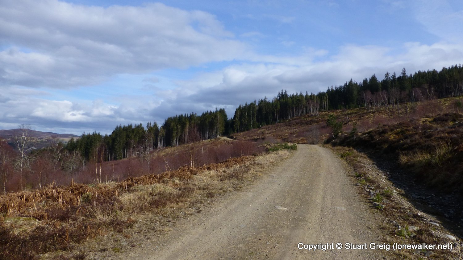
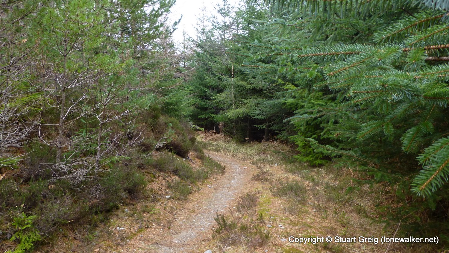
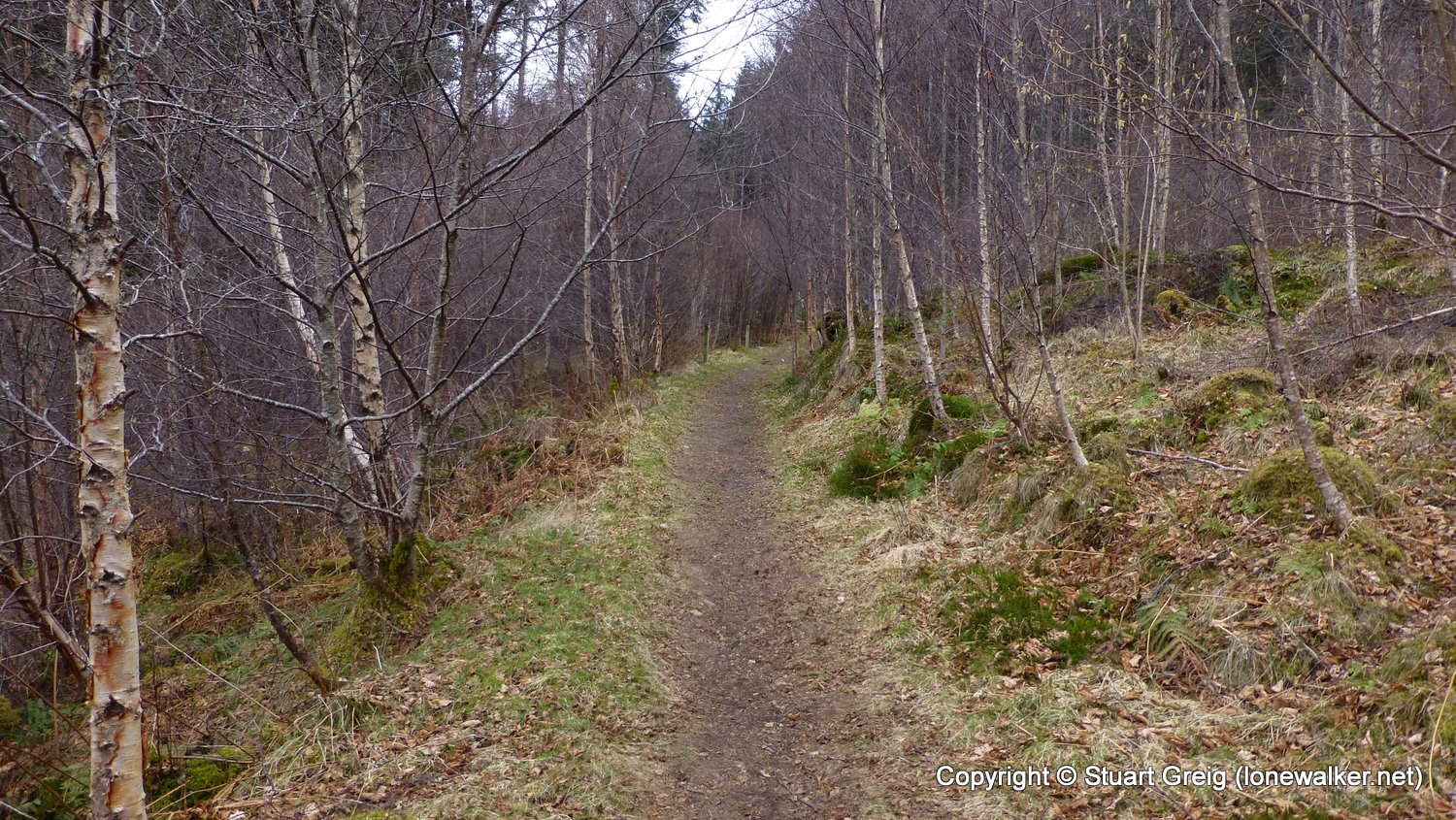
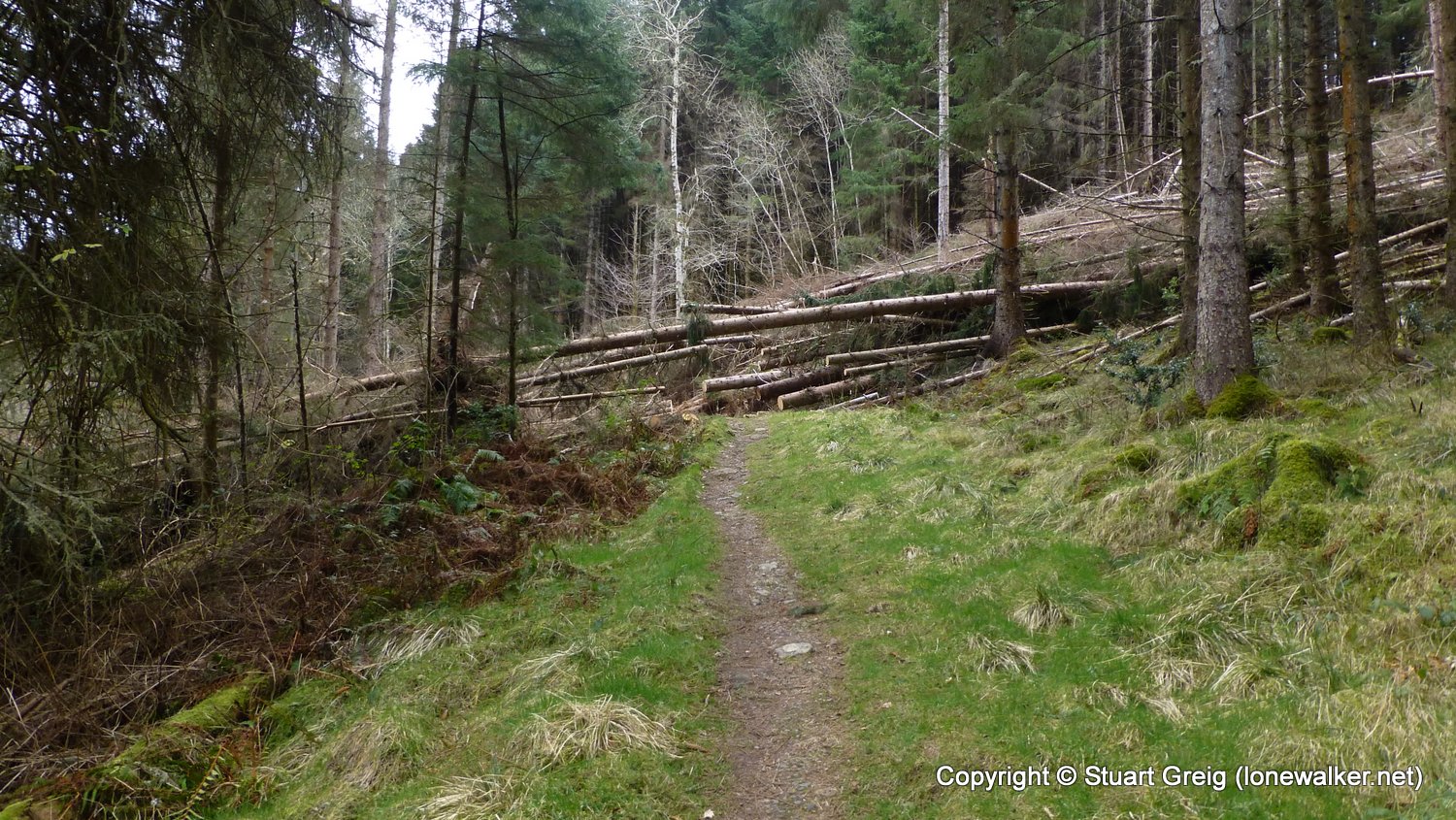
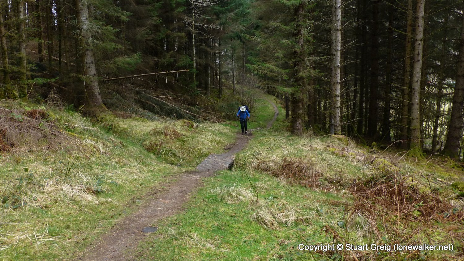
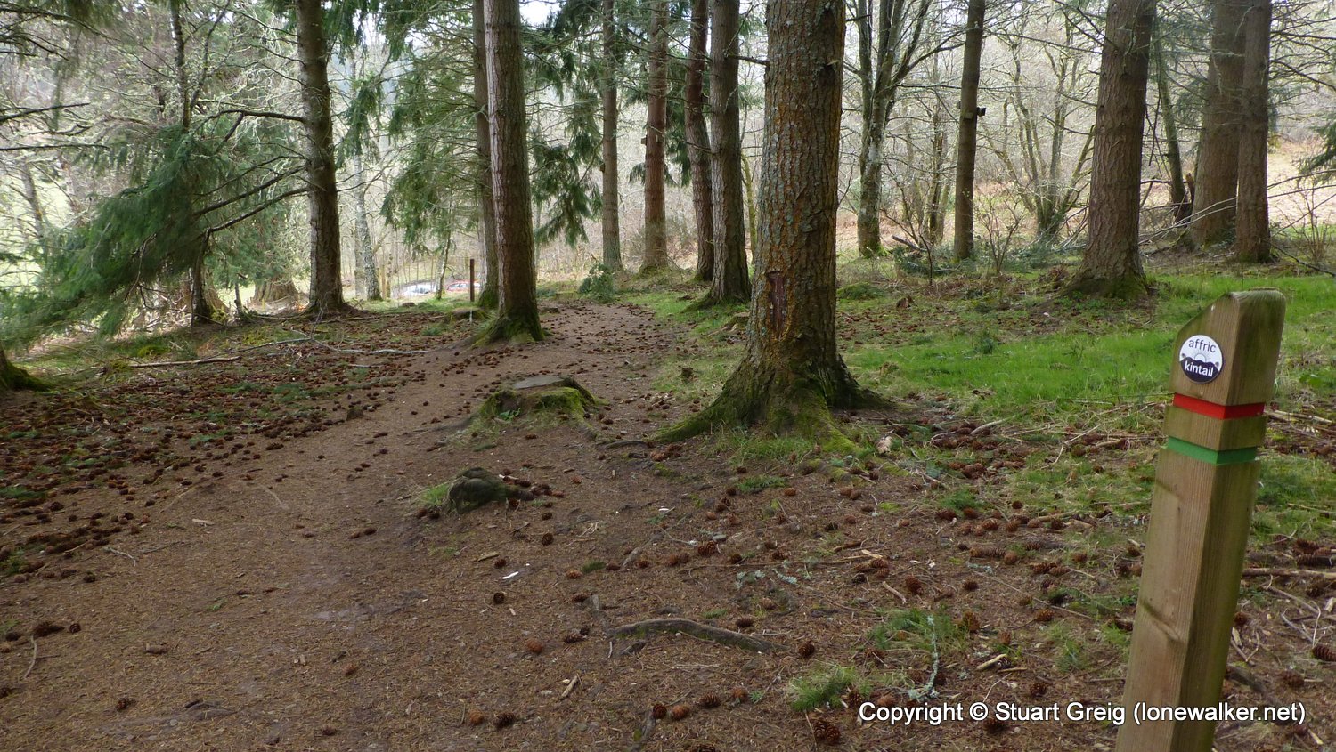
Route Description: Wild camp beside northern end of Loch Beinn a Mheadhoin, Dog Falls, Creag Liath, Strathglass, Cannich, Shenval, Glen Urquhart, Drumnadrochit
Parking Grid Ref:
View Parking space in: OS Map or Google Street View
Walking with: Chris Pilgrim
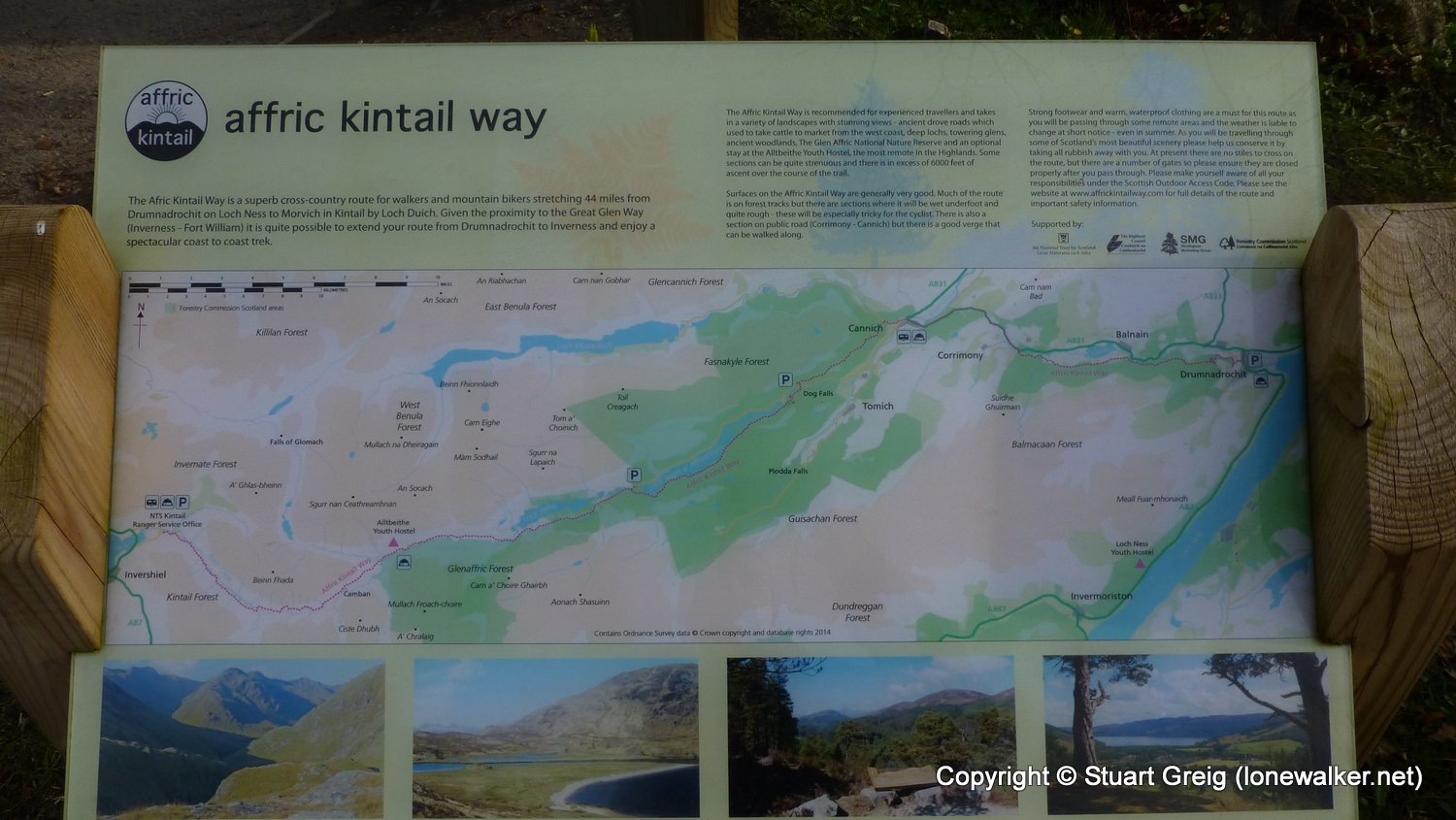
Long Distance Path: Affric Kintail Way
Link to full Walk Report: https://lonewalker.net/walking-the-affric-kintail-way/
Download GPX file for this walk:
If your browser opens the file directly, right click and "Save As.."
Click any image to open the full screen photo gallery
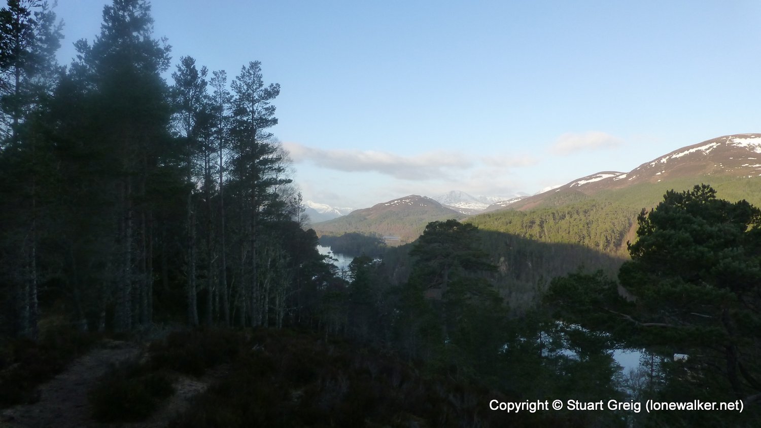
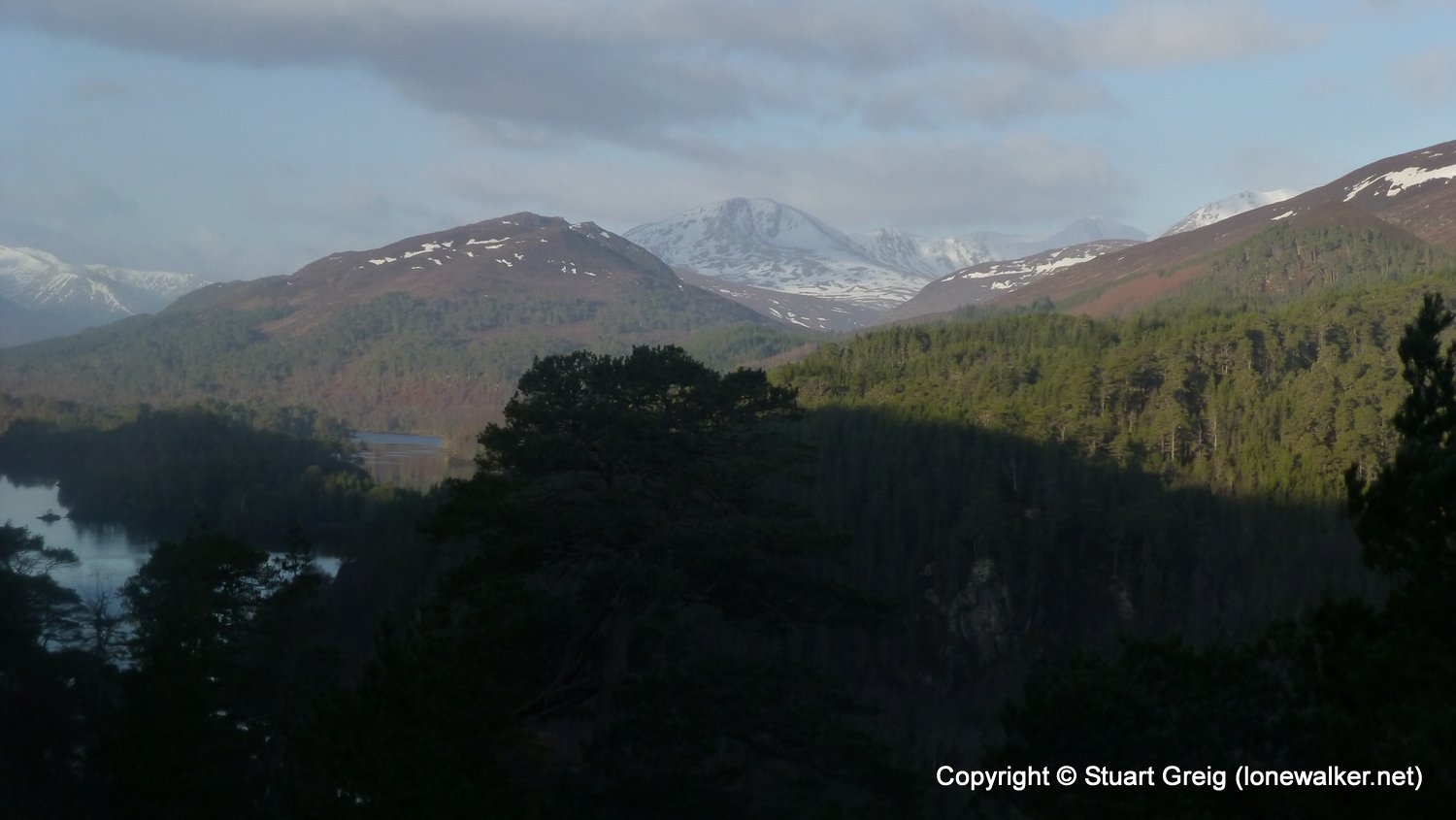

Walk Name: Camban Bothy to Loch Beinn a Mheadhoin
Date: 2016-03-24
Distance: 17.0 mls, 27.36 km
Height Gain: 1700 ft, 518.2 m
Walk Name: Kirkby Malham to Settle
Date: 2016-04-29
Distance: 7.8 mls, 12.55 km
Height Gain: 1500 ft, 457.2 m