
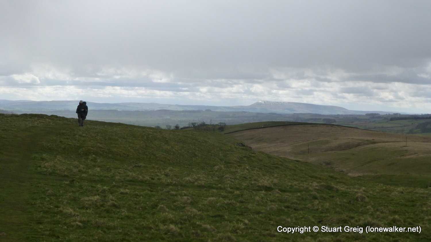
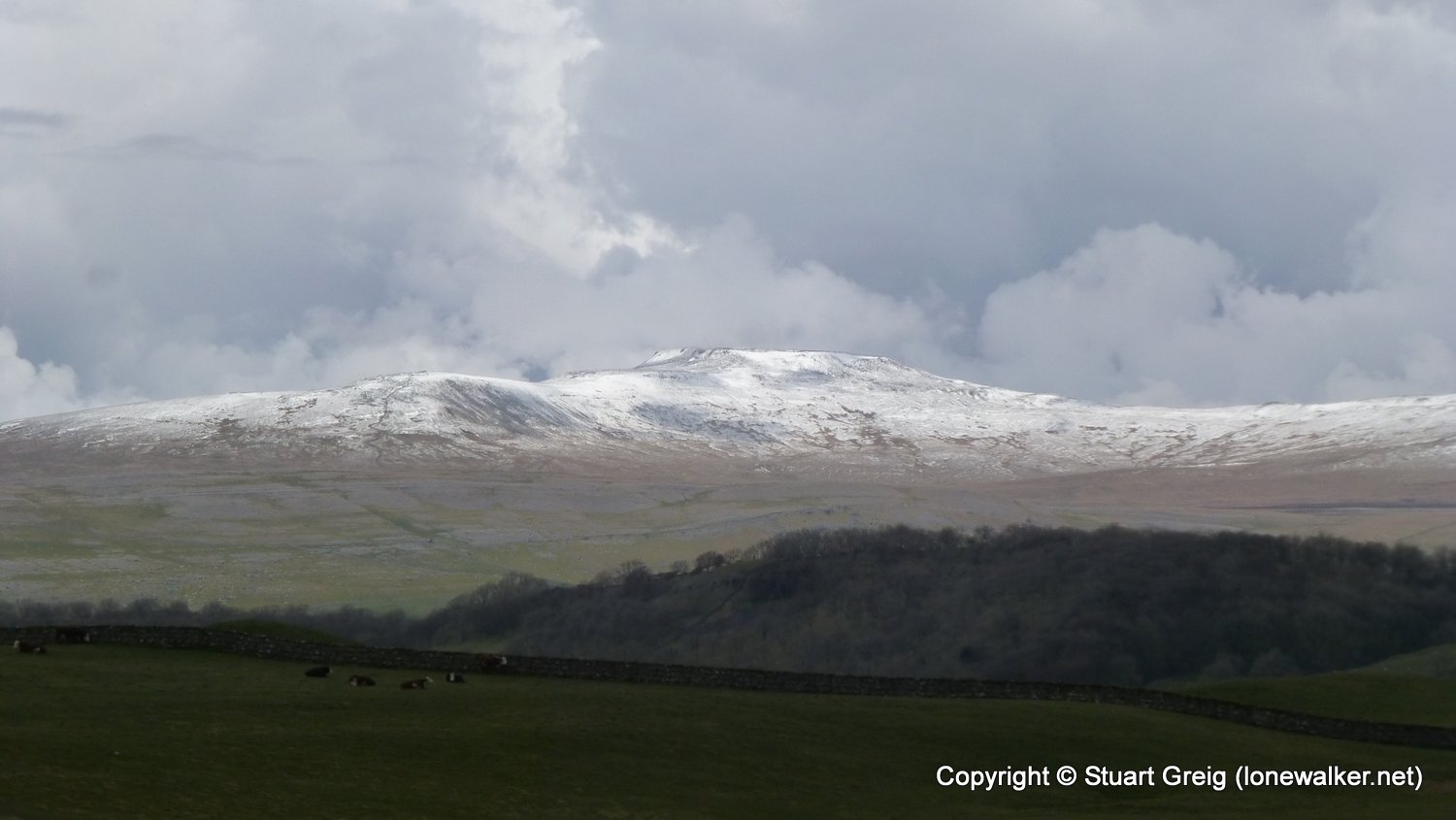
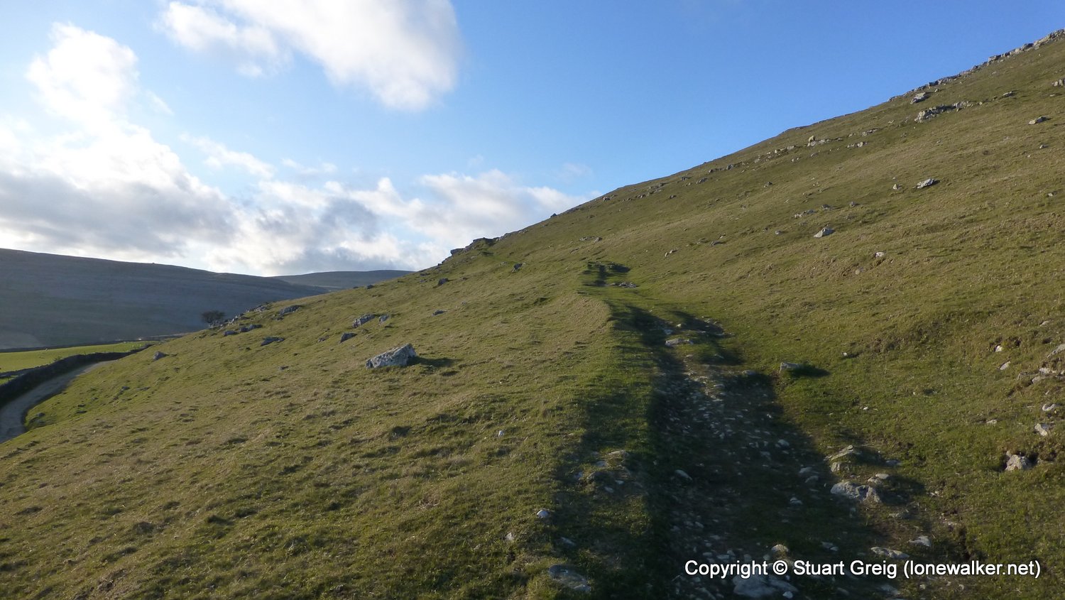
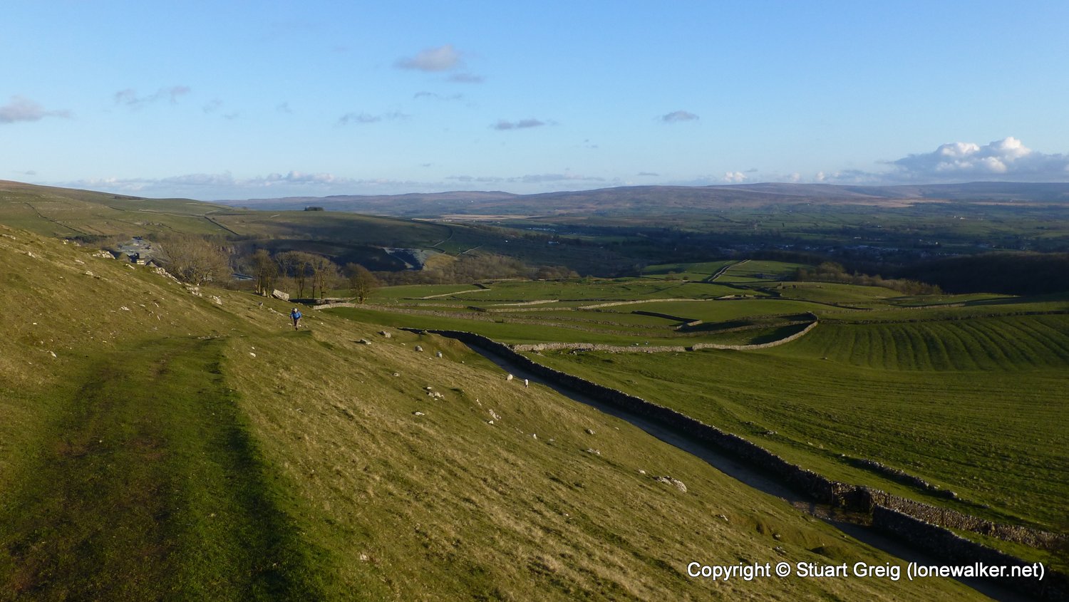
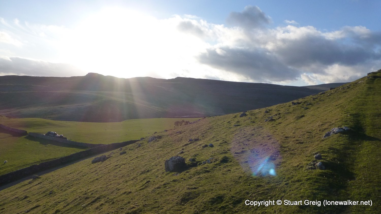
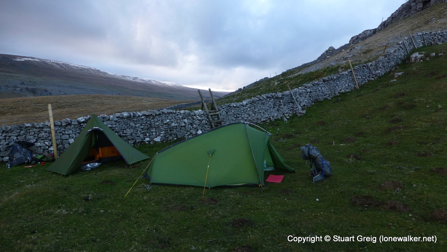
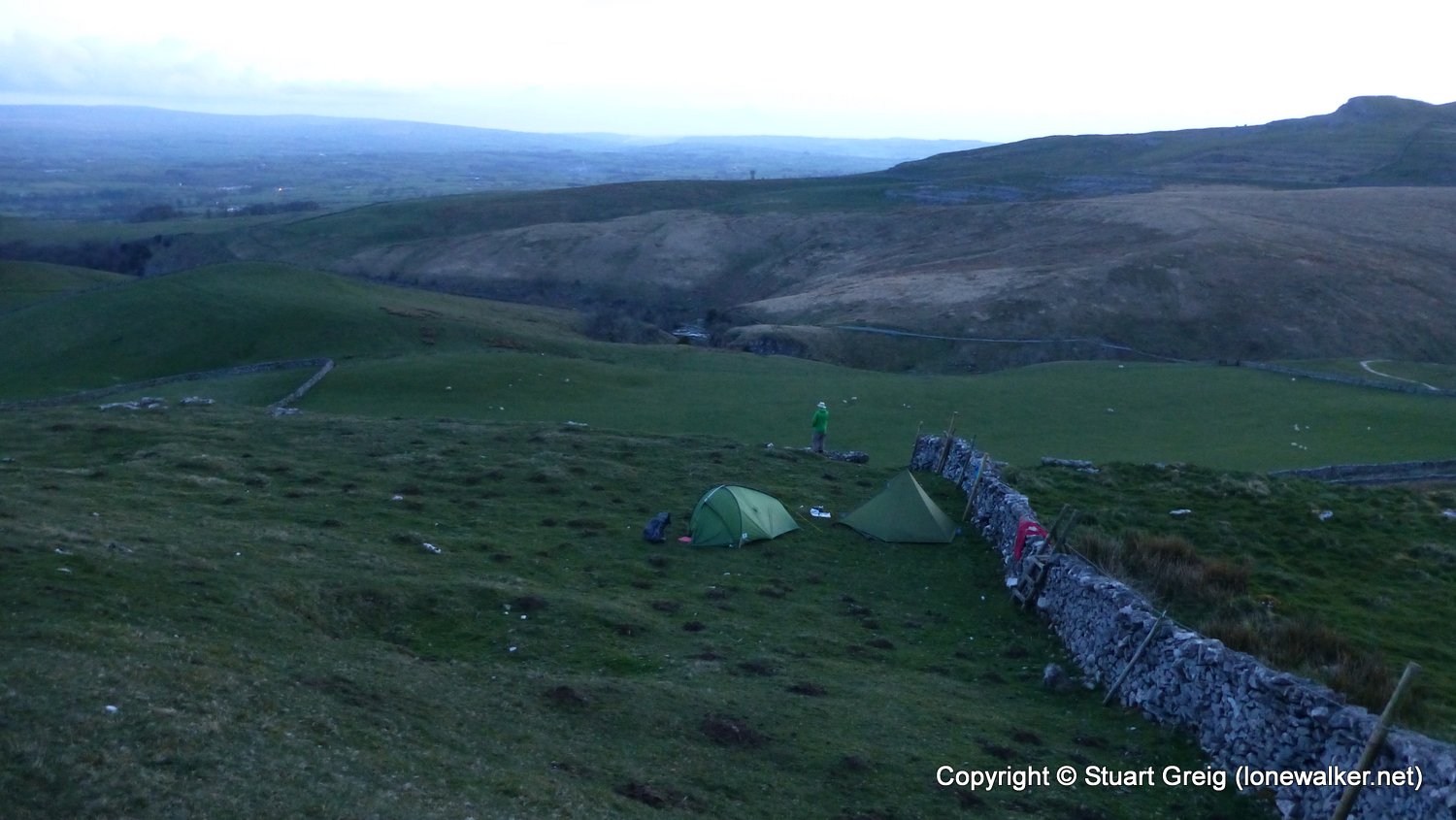
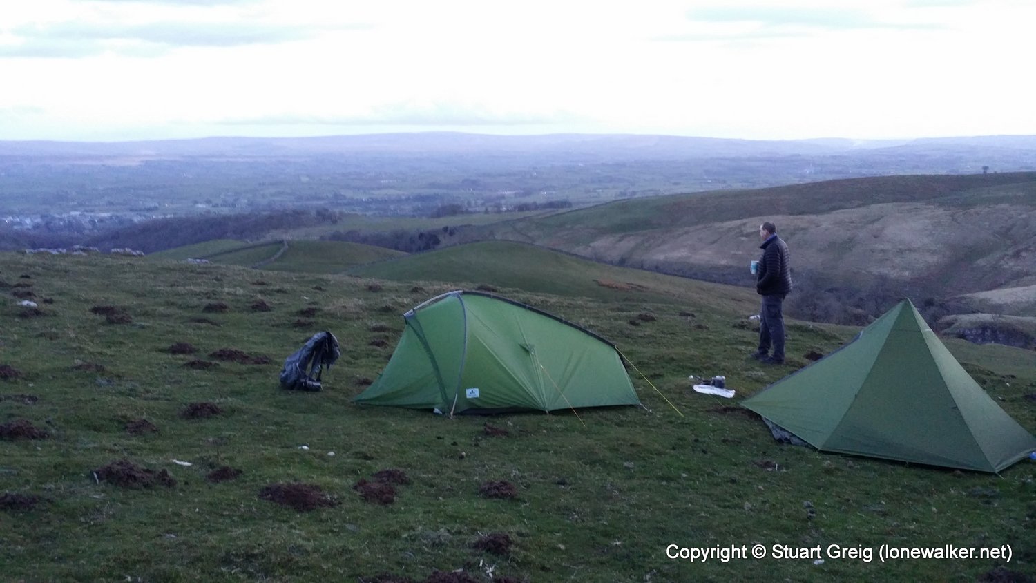
Another awful weather day, with rain for most of it and sporadic dry spells and odd views of the sun. Really didn't enjoy today, other than the warm and relaxing climb out of Ingleton and the wild camp above Kingsdale. Chris good company as usual, but me not so much.
Date: 2016-04-30
Start: Settle Finish: Kingsdale
Distance: 14.0 mls, 22.53 km
Height Gain: 2100 ft, 640.1 m
Start Time: 10:00 End Time: 19:35
Duration: 09:35
Ave Speed: 1.5 mph
Region: Yorkshire Dales
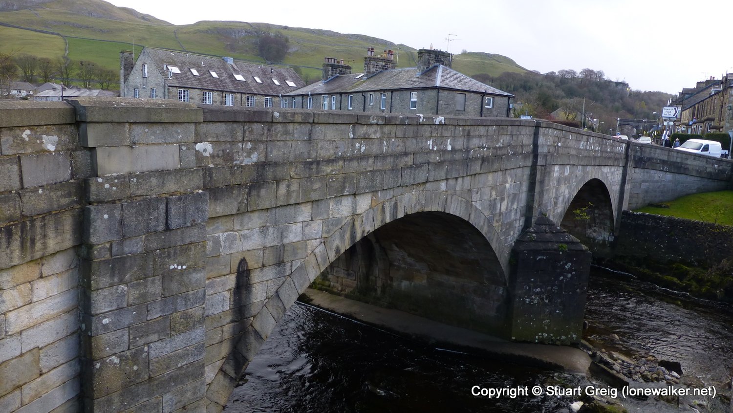
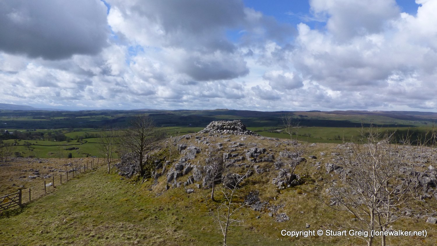
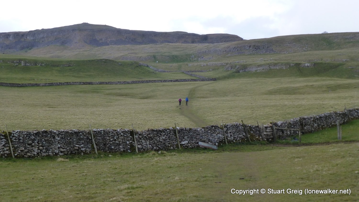
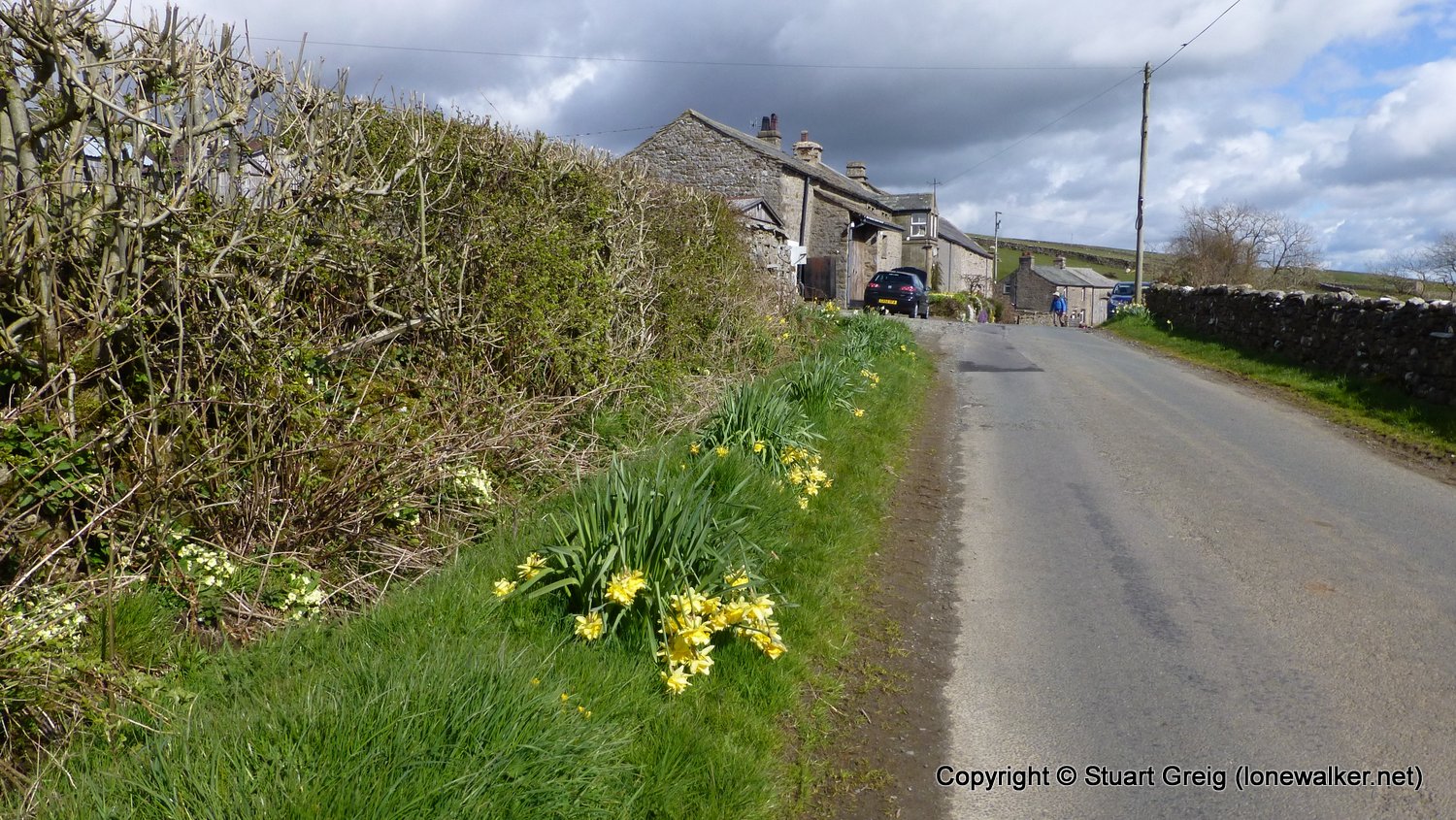
Route Description: Settle, Giggleswick Scar, Austwick, Clapham, Newby, Cold Cotes, Ingleton, Twistleton Scar End and wild camp above Kingsdale
Parking Grid Ref:
View Parking space in: OS Map or Google Street View
Walking with: Chris Pilgrim
Long Distance Path: Tributaries Walk
Click any image to open the full screen photo gallery
Walk Name: Kirkby Malham to Settle
Date: 2016-04-29
Distance: 7.8 mls, 12.55 km
Height Gain: 1500 ft, 457.2 m
Walk Name: Kingsdale to Dent Station
Date: 2016-05-01
Distance: 14.2 mls, 22.85 km
Height Gain: 1900 ft, 579.1 m