
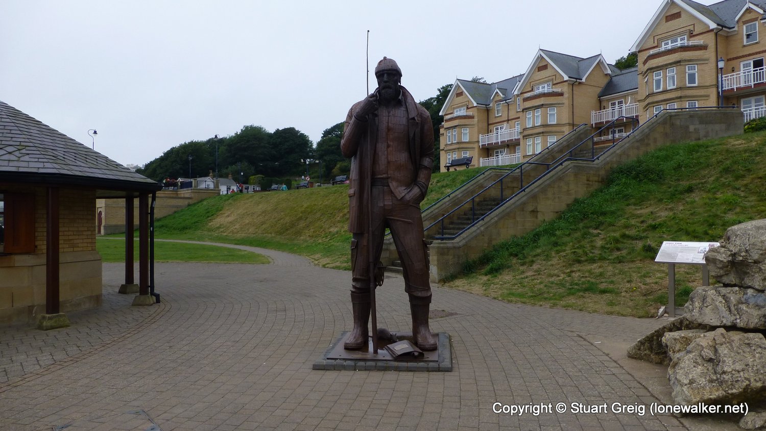
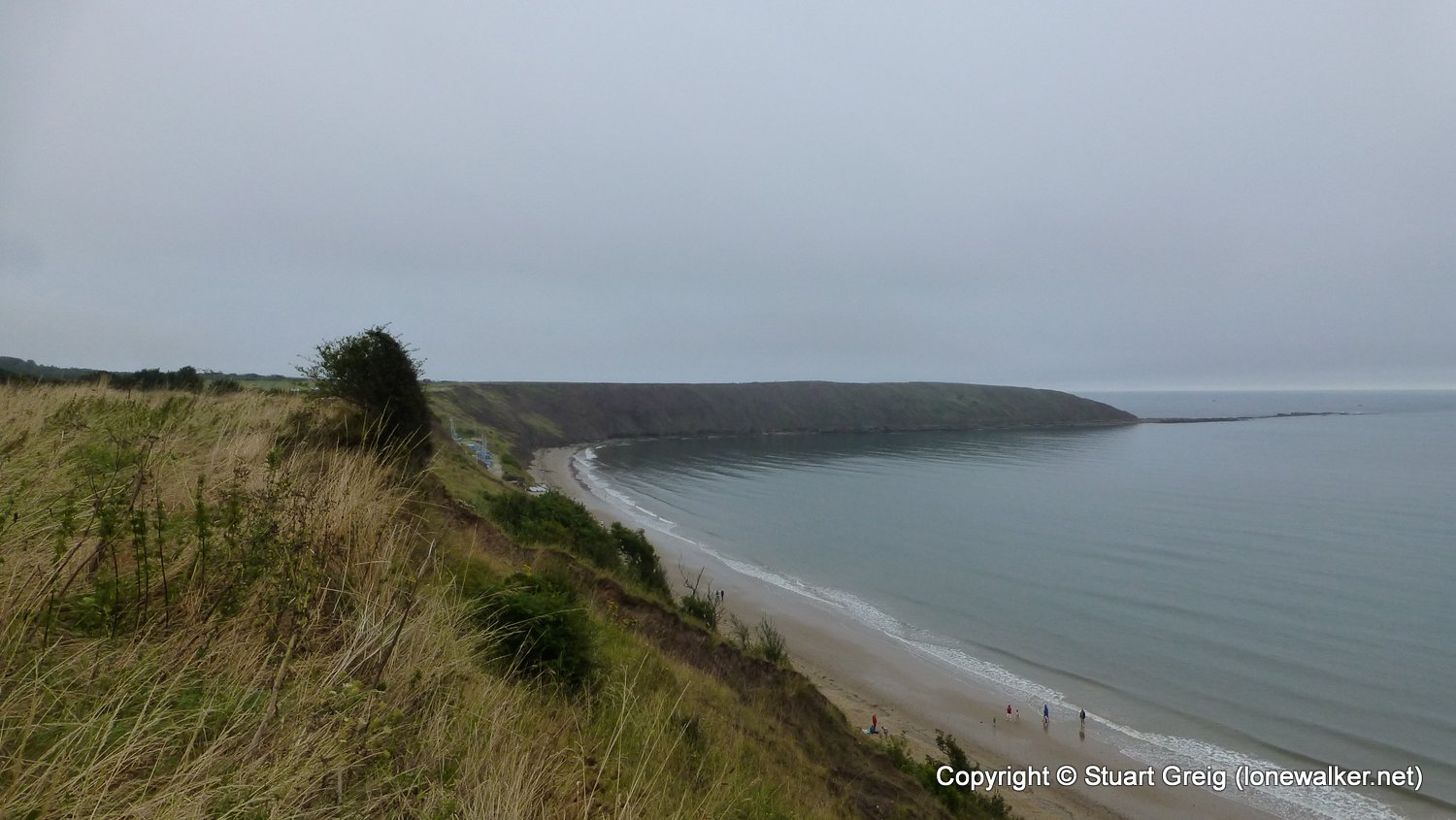
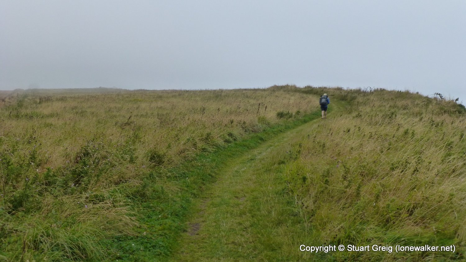
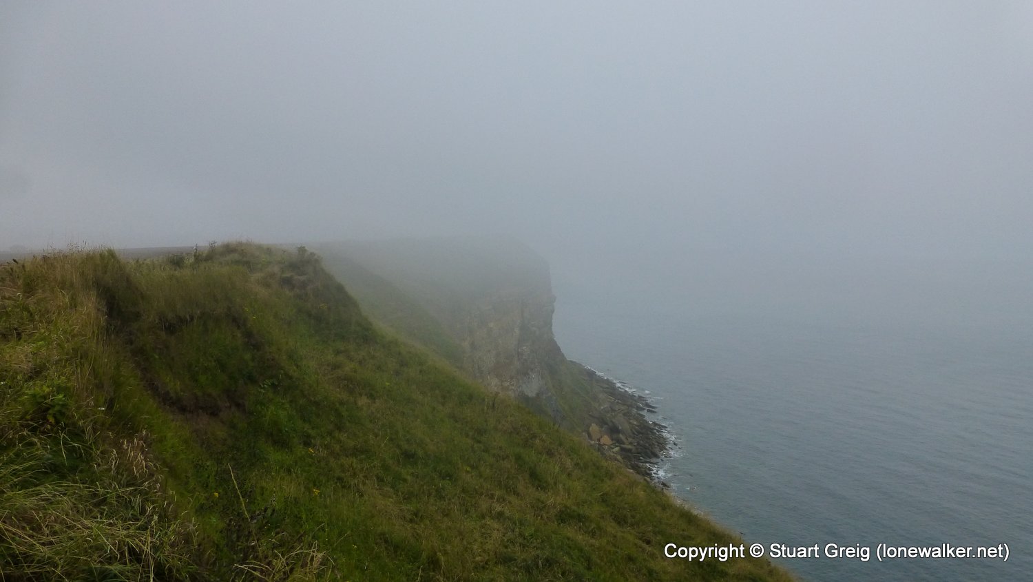
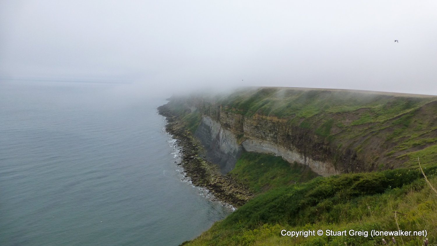
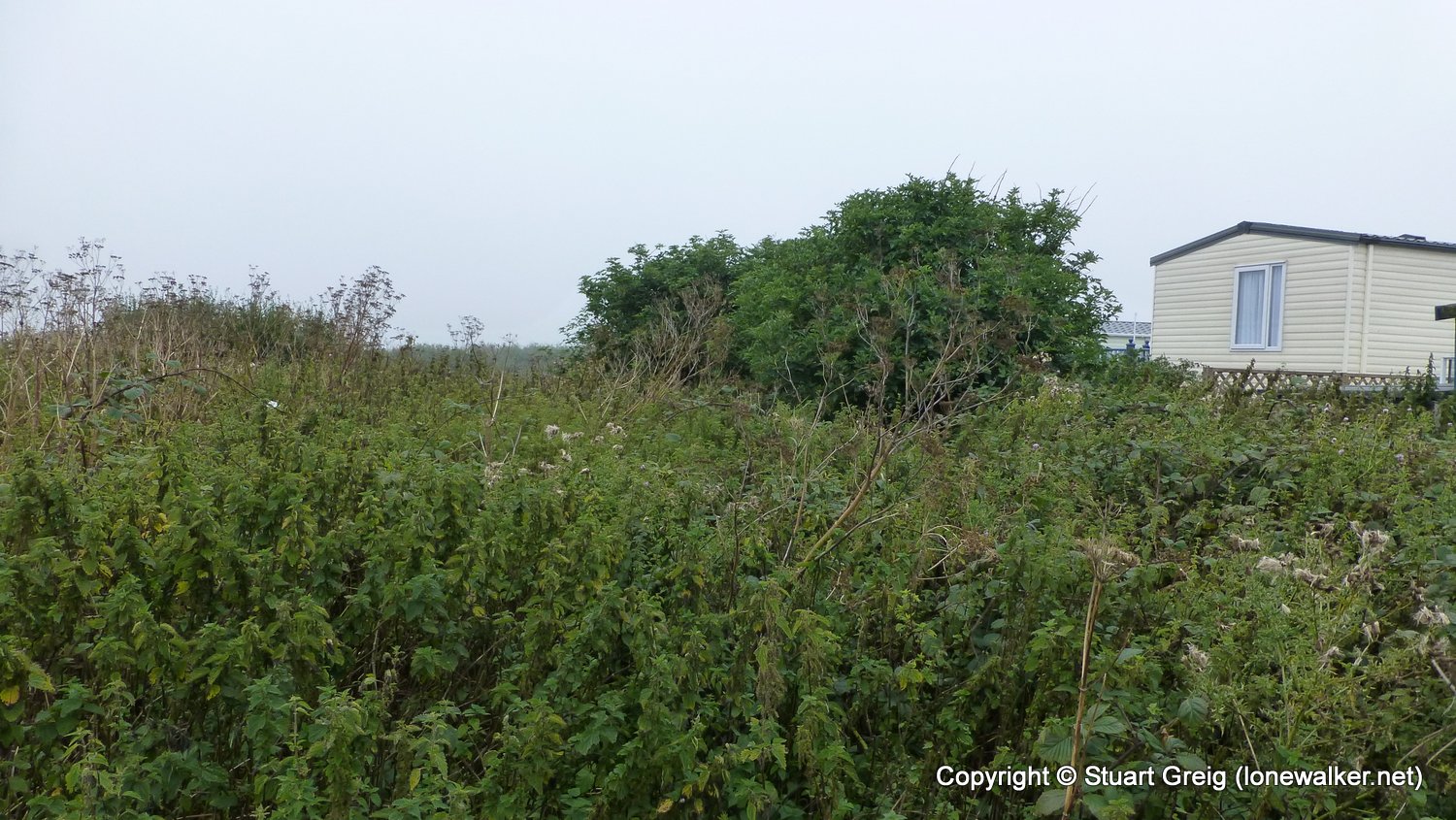
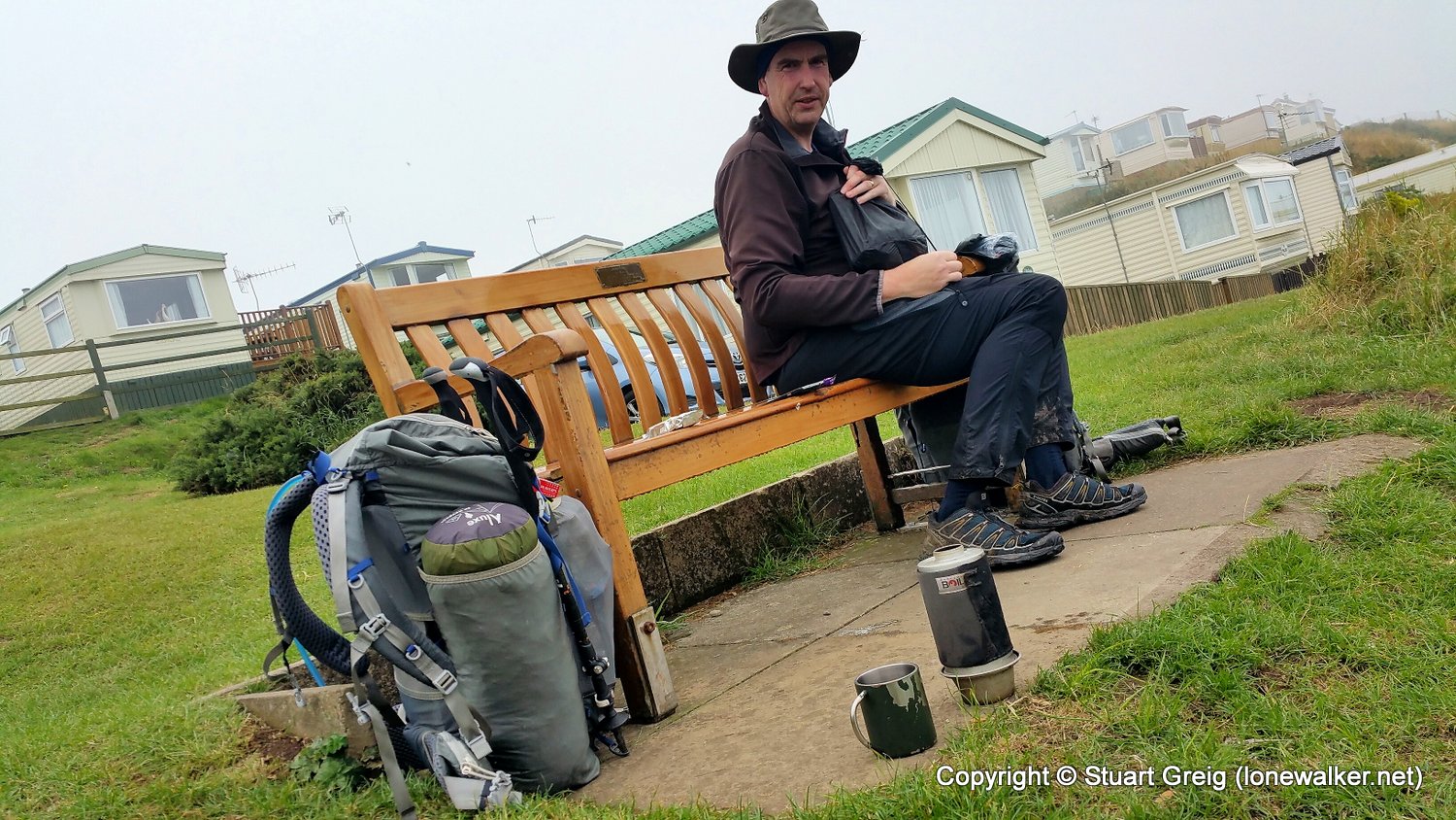
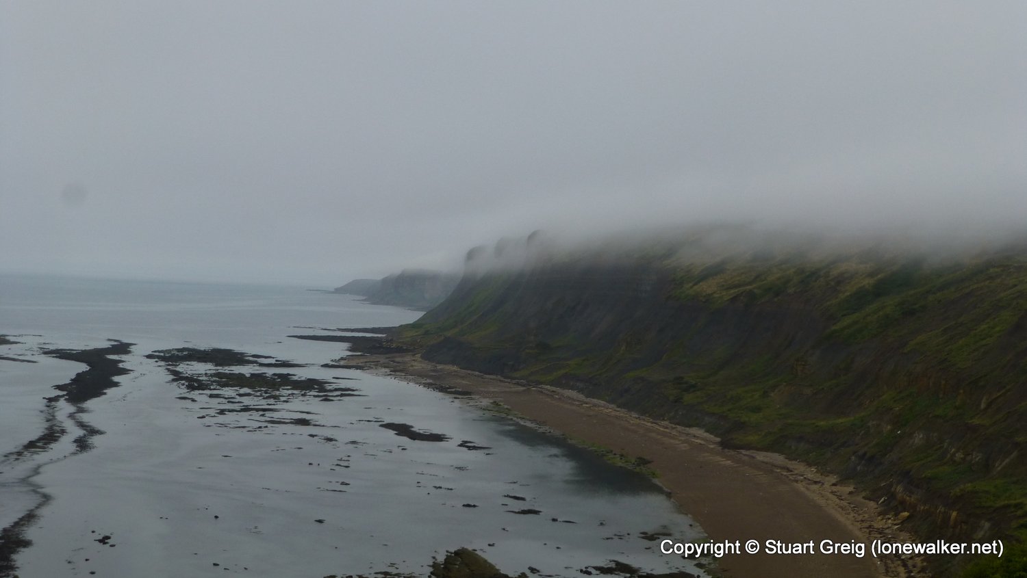
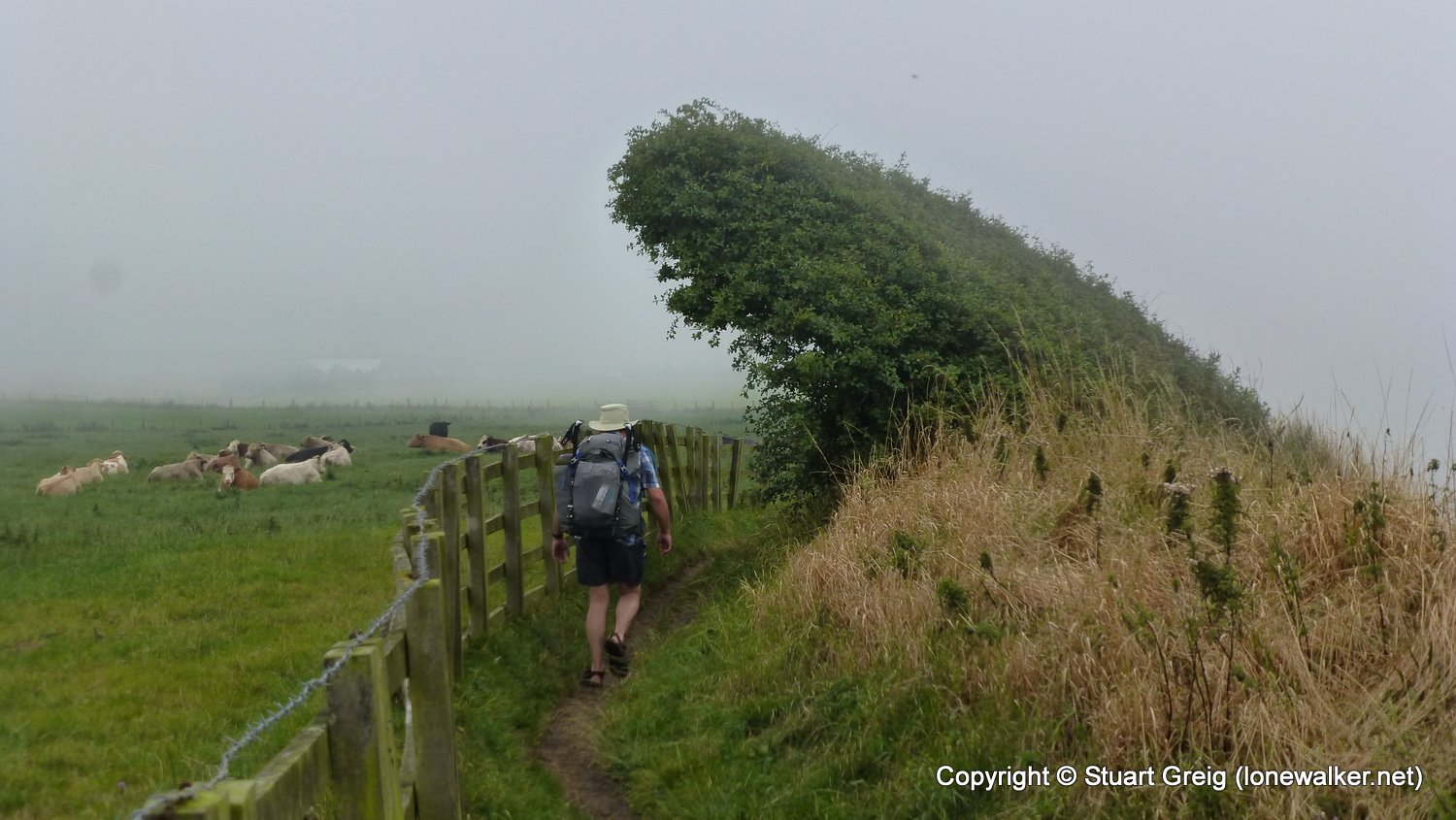
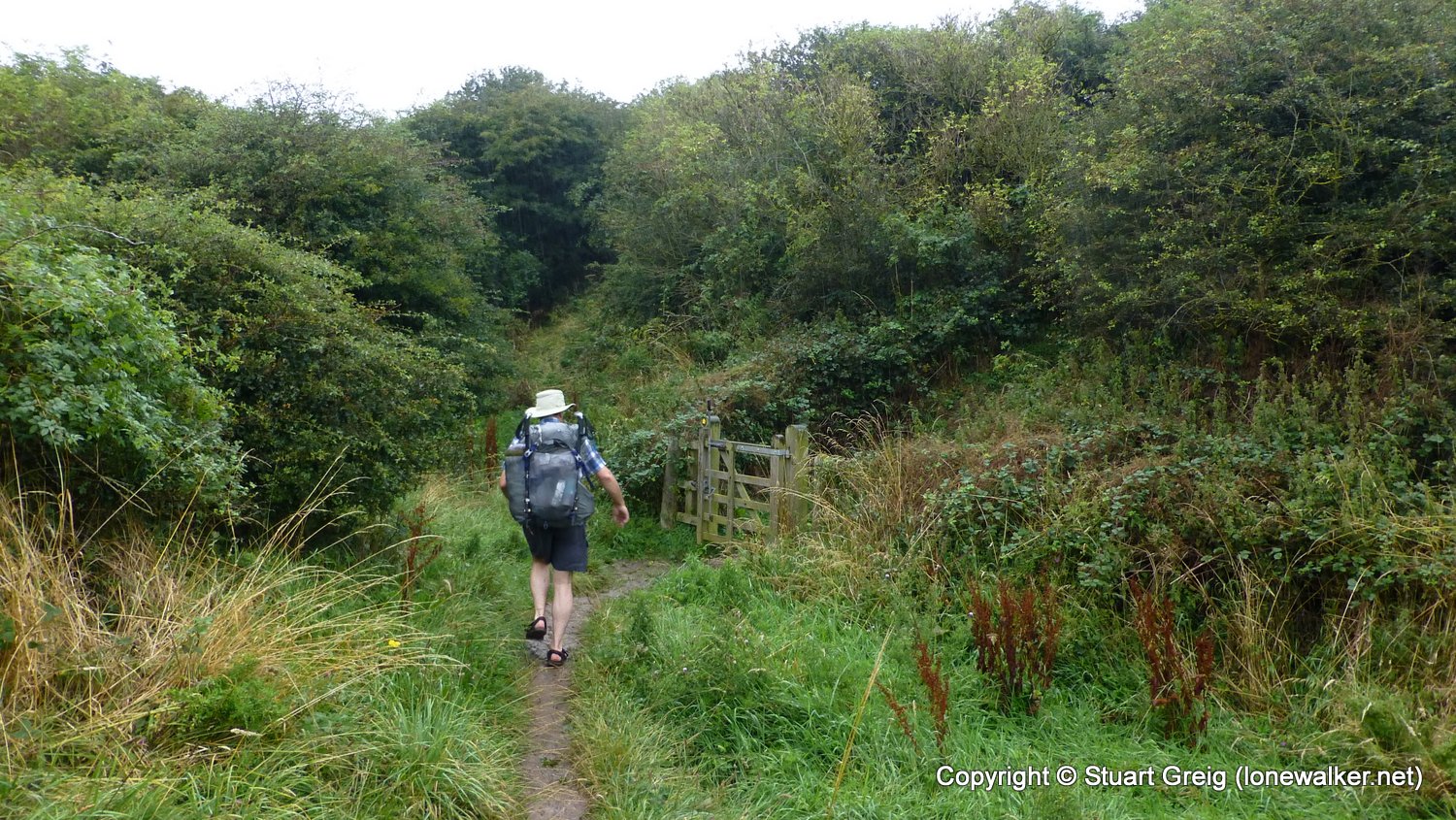
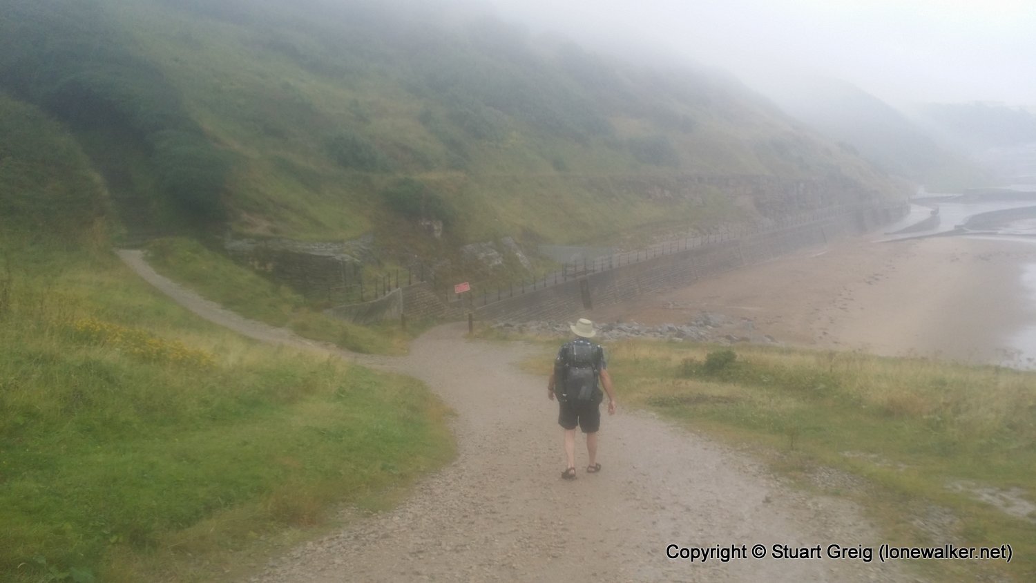
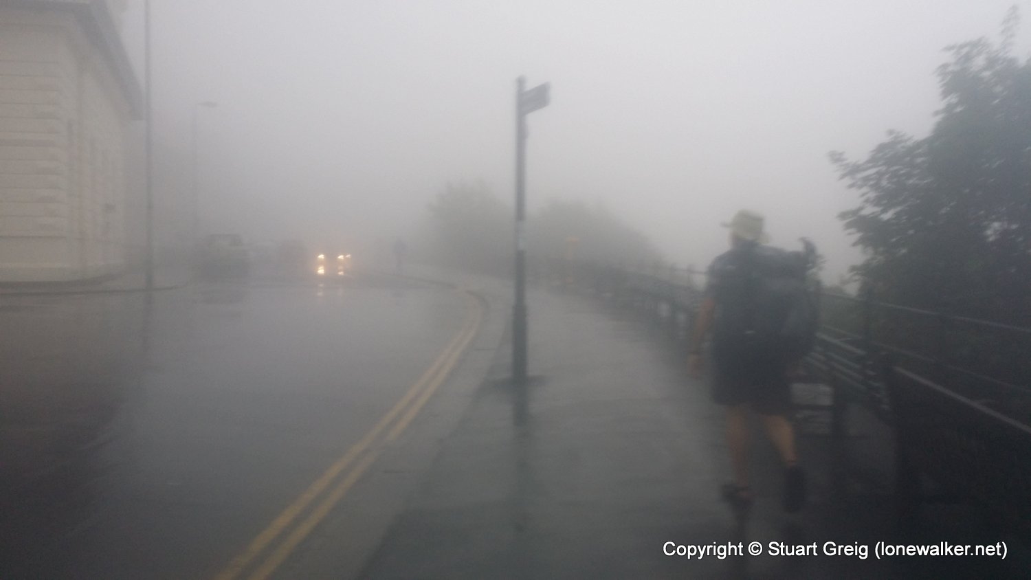
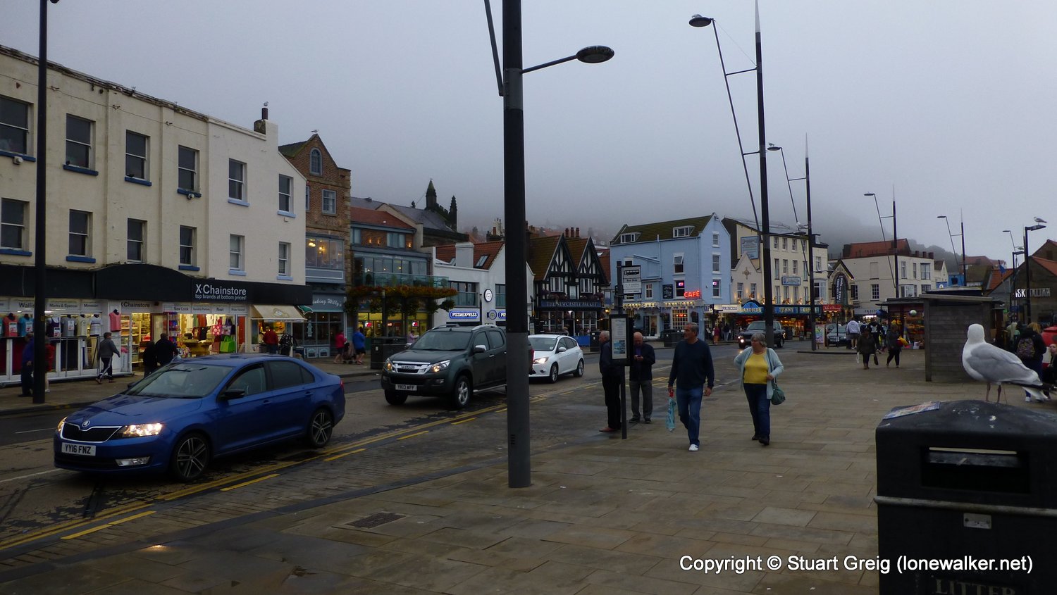
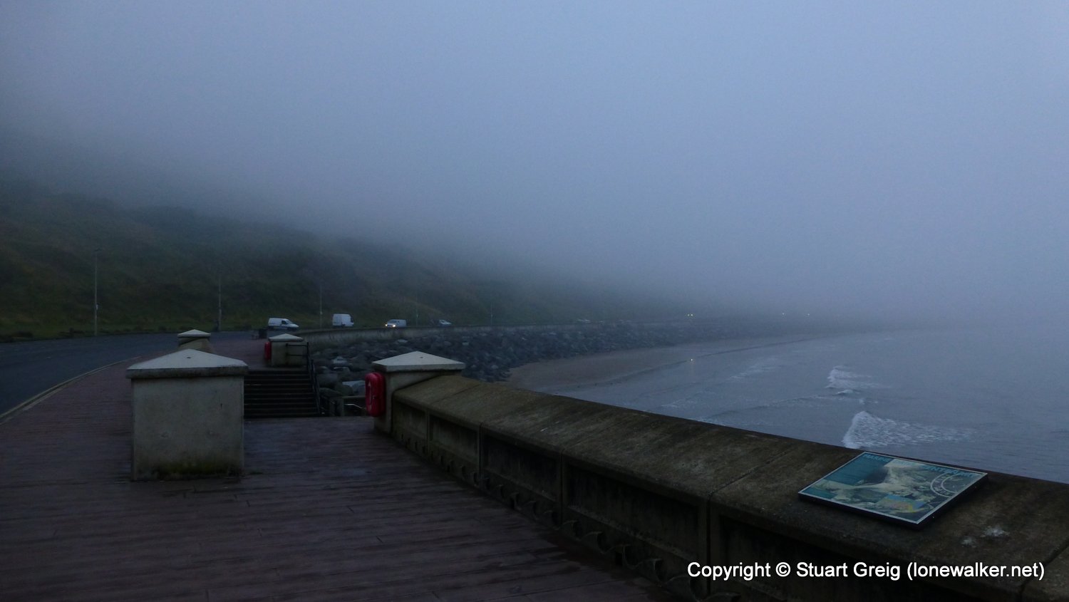
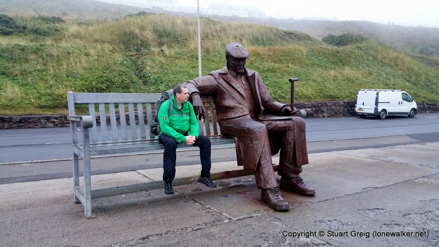
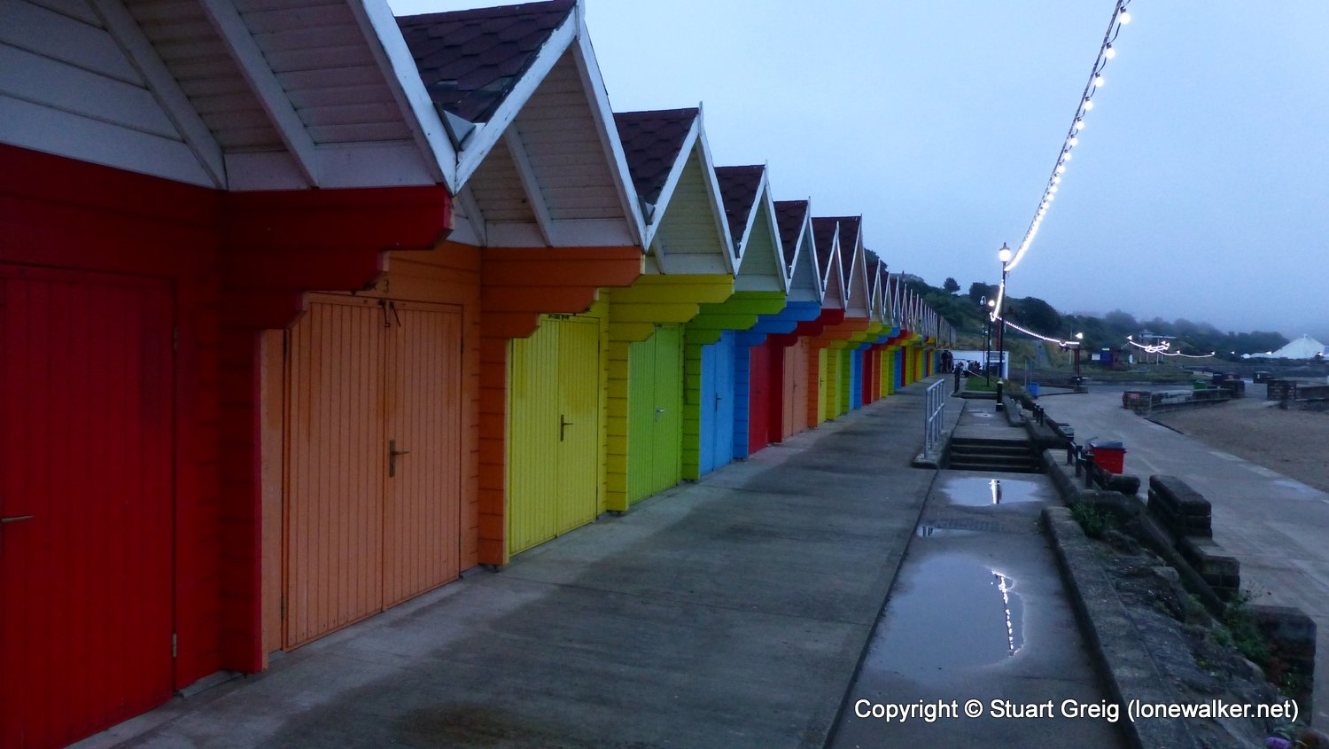
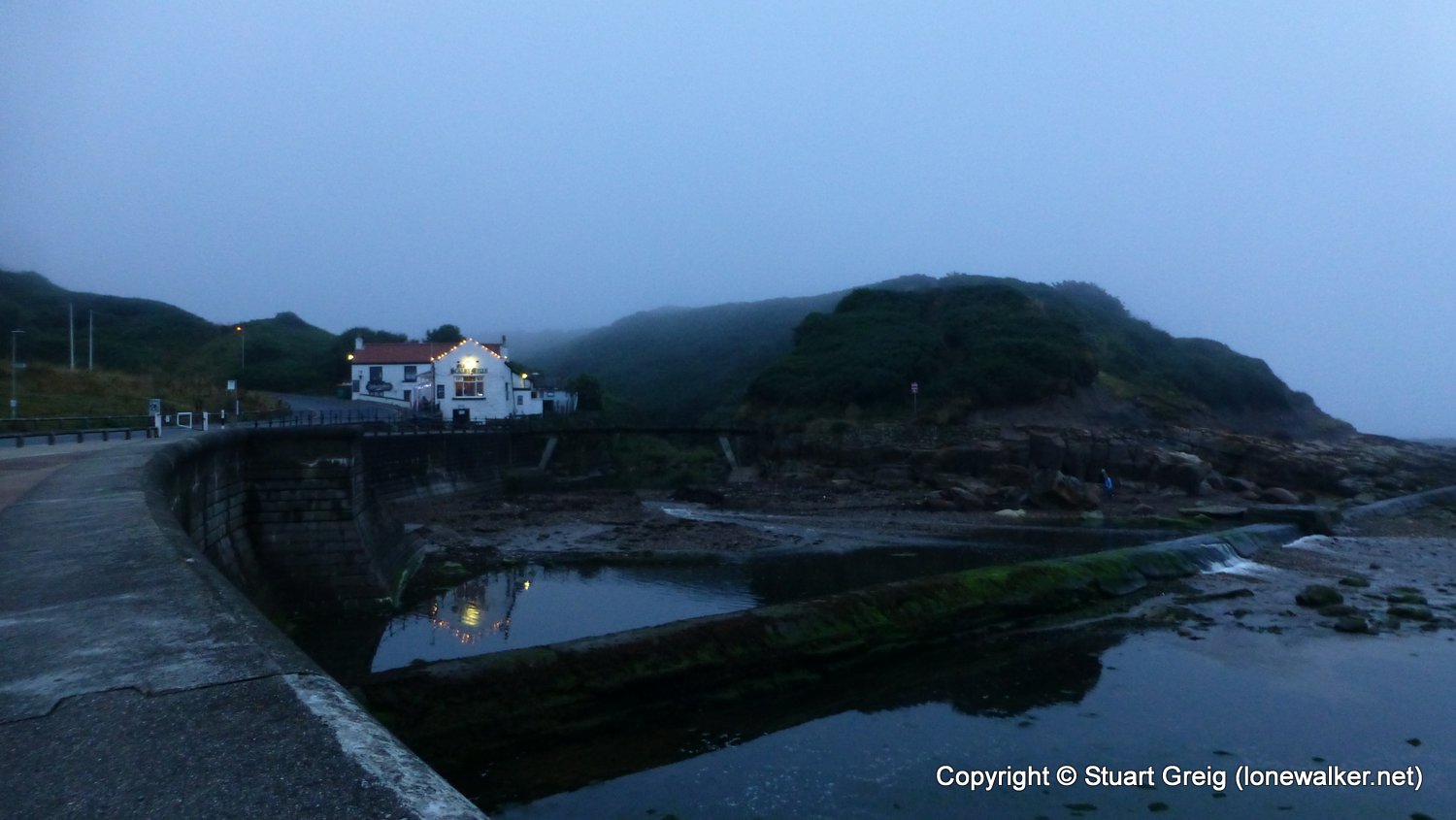
A long weekend with Chris Pilgrim, walking a section of the Cleveland Way, with the intention to wild camp where possible. We were dropped in Filey on a cloudy, grey morning with a poor forecast for later in the day. We made regular stops for brews and to enjoy the views and eventually the rain began to fall. We lost the path, walking backwards along the track as we were, we missed a diversion sign and ended up deep in a wood and then the path just ended at a huge landslip and we struggled to reach the path, visible on the other side. All this done in pouring rain. A long stop in a hotel bar in Scarborough saw us dry out, only for the rain to start again a few minutes before we stopped to camp. A cheeky path-side camp, pitching late saw an interesting end to a great day.
Date: 2016-08-25
Start: Filey Finish: Scalby Lodge
Distance: 14.4 mls, 23.17 km
Height Gain: 2200 ft, 670.6 m
Start Time: 11:15 End Time: 20:25
Duration: 09:10
Ave Speed: 1.6 mph
Region: Northern England
Route Description: Filey, North Cliff, Gristhorpe Cliff, Frank, Cliff, Scarborough, North Sands, Long, Nab, Scalby Lodge
Parking Grid Ref:
View Parking space in: OS Map or Google Street View
Walking with: Chris Pilgrim
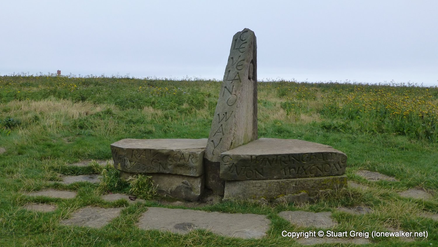
Long Distance Path: Cleveland Way
TP2043 - Casty Hill (Good condition)
Click any image to open the full screen photo gallery


Walk Name: Wild Boar Fell to Sedbergh
Date: 2016-07-30
Distance: 9.6 mls, 15.45 km
Height Gain: 1000 ft, 304.8 m
Walk Name: Scarborough to Robin Hoods Bay
Date: 2016-08-26
Distance: 13.8 mls, 22.21 km
Height Gain: 2000 ft, 609.6 m