
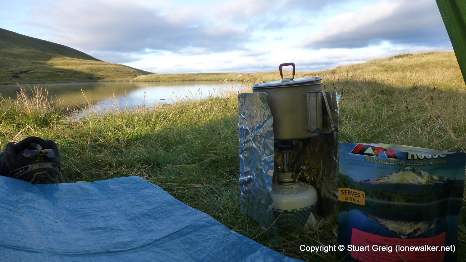
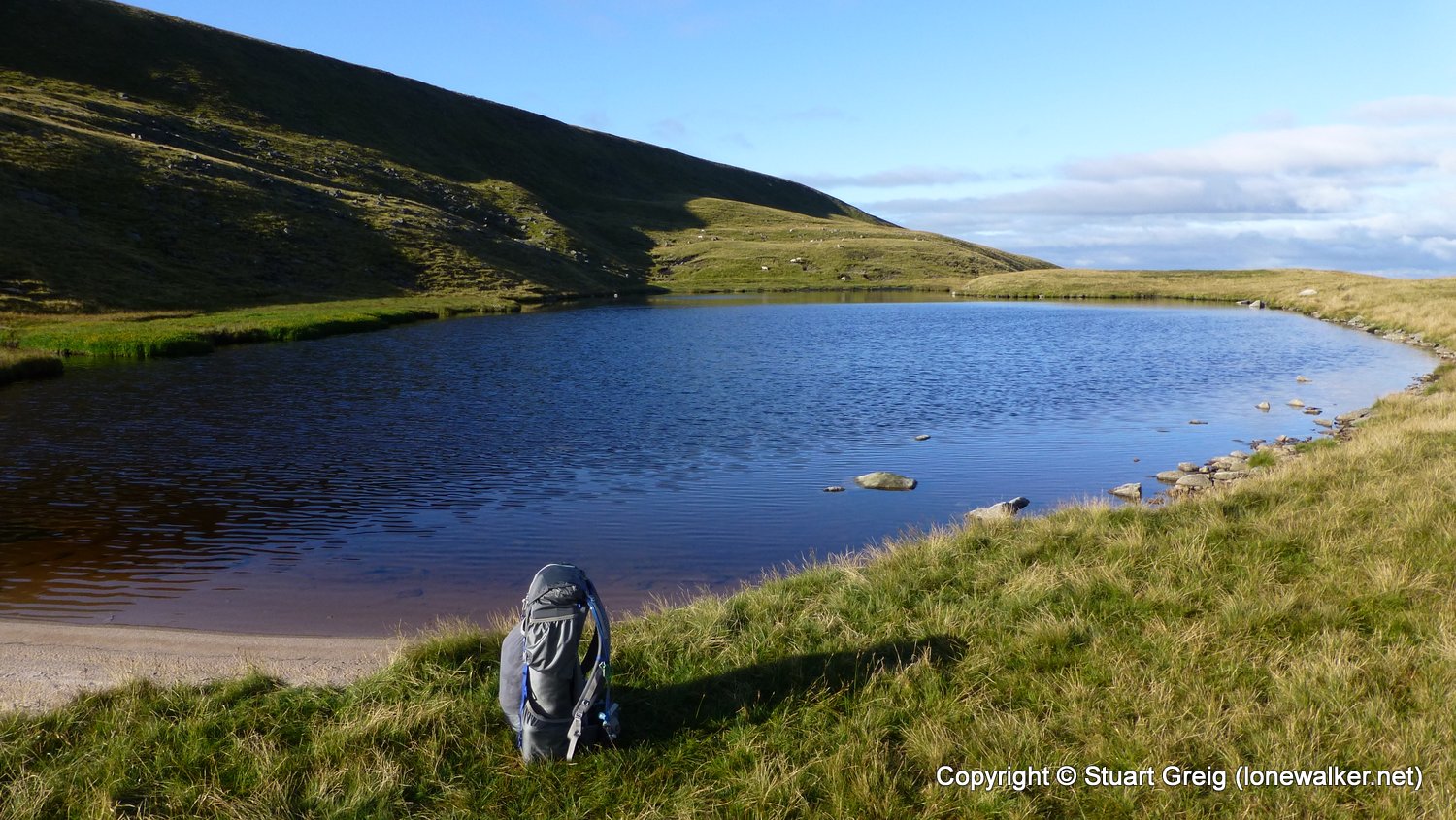
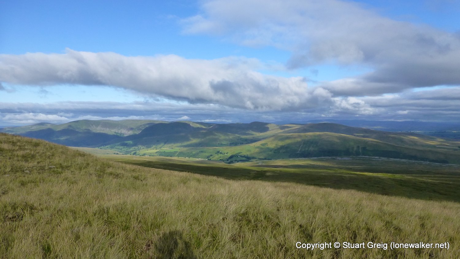
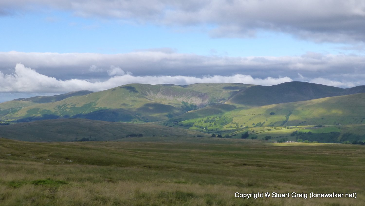
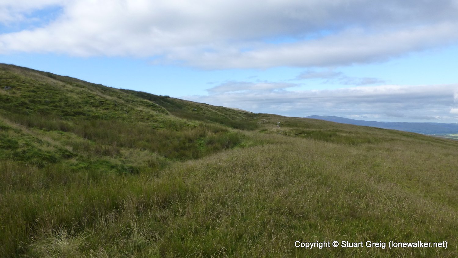
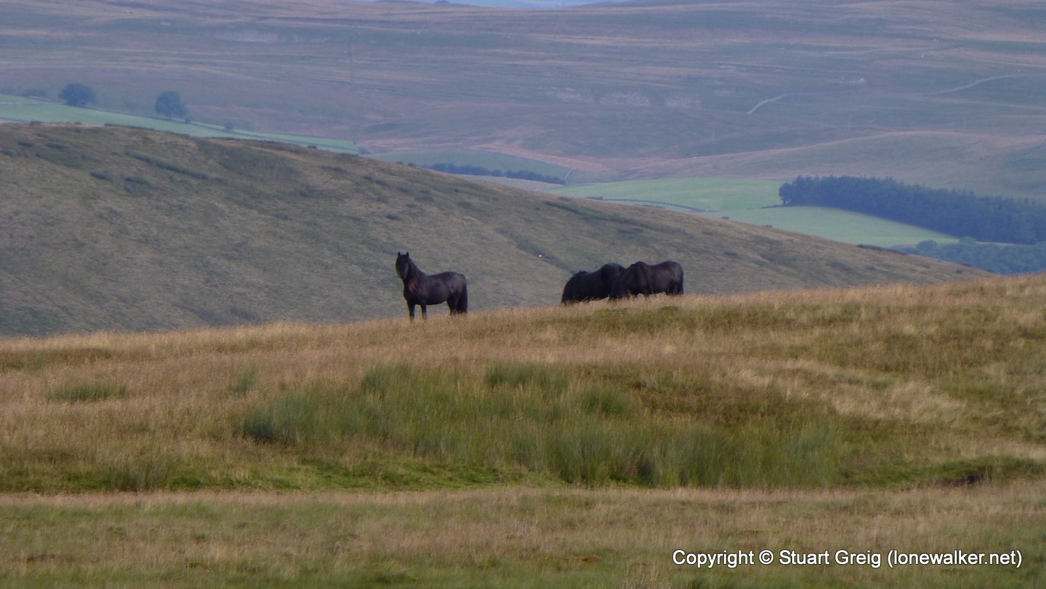
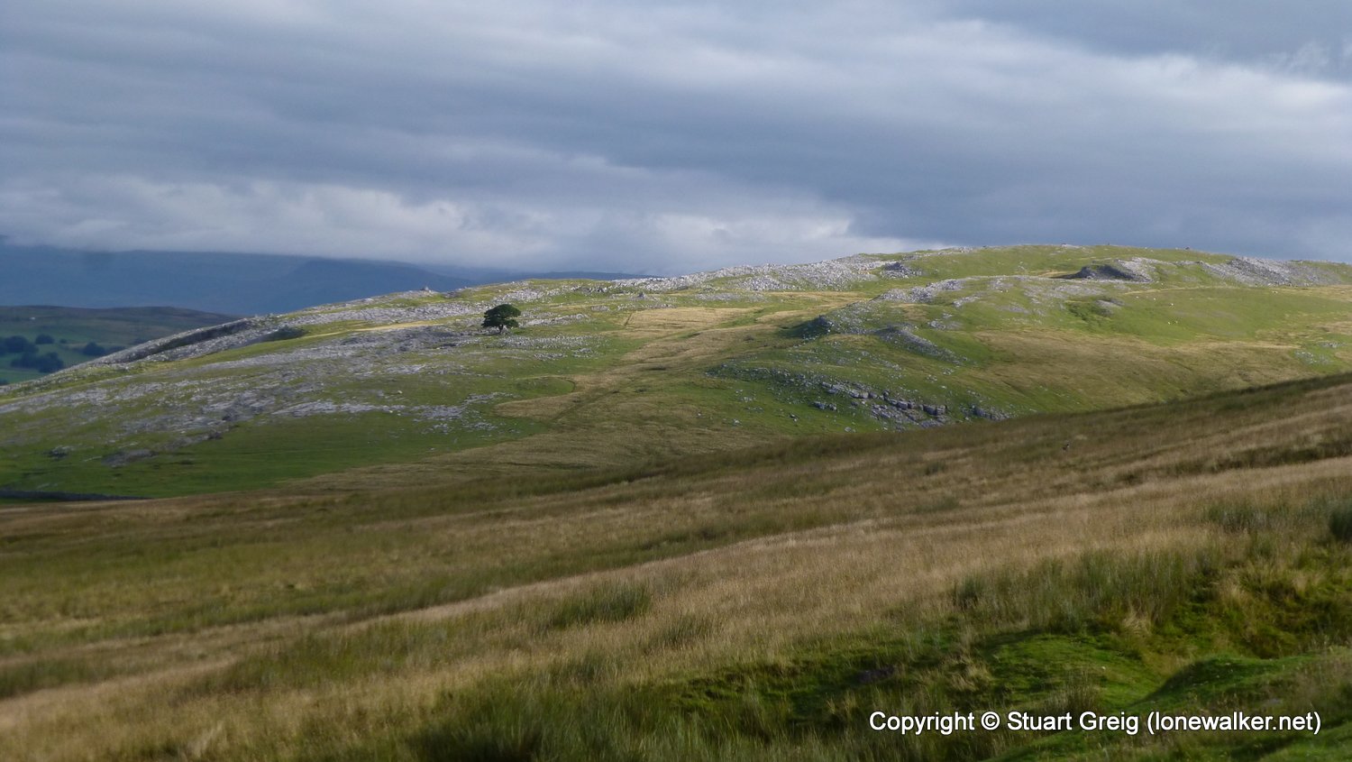
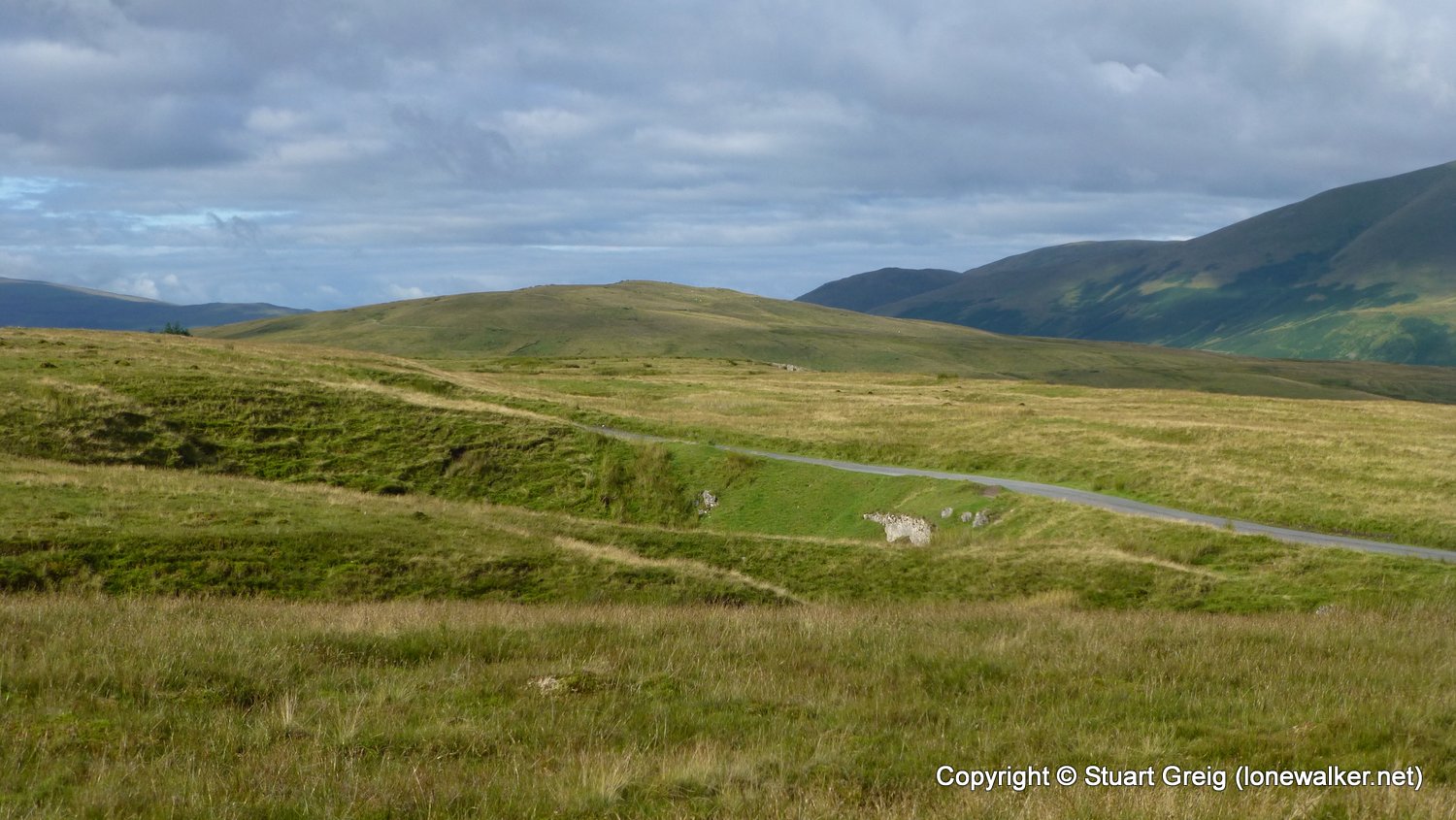
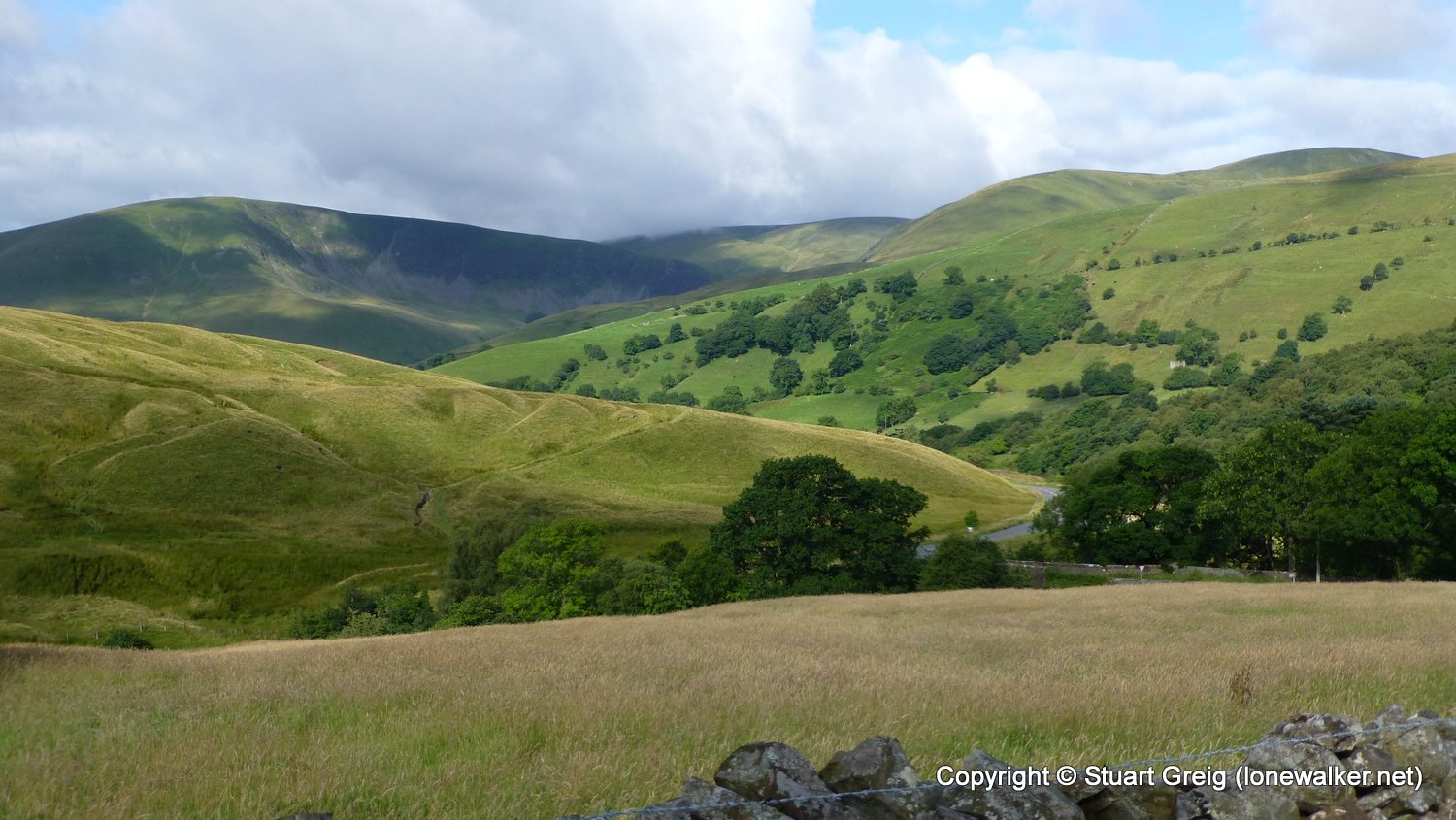
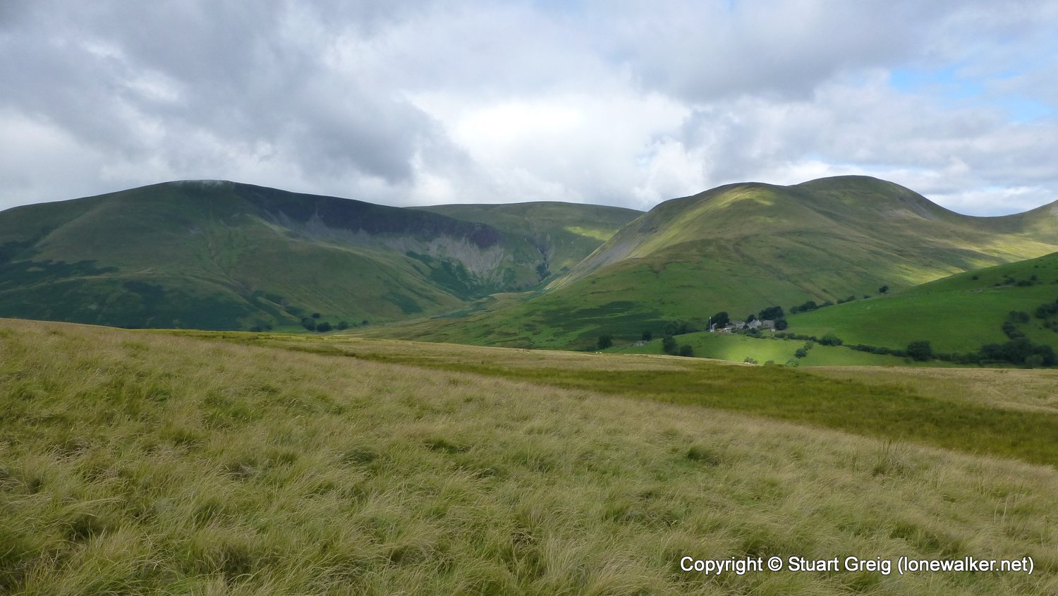
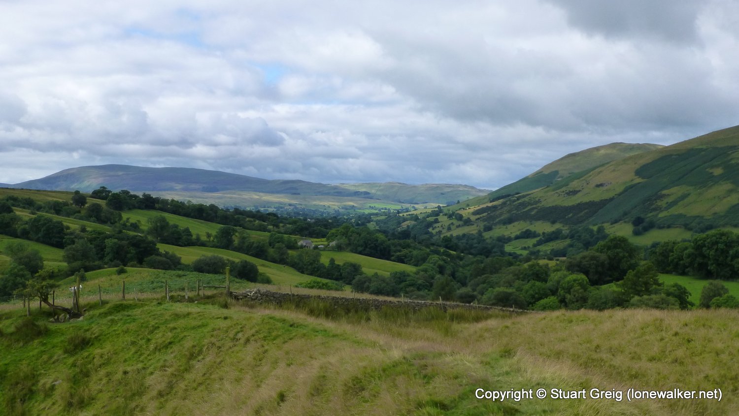
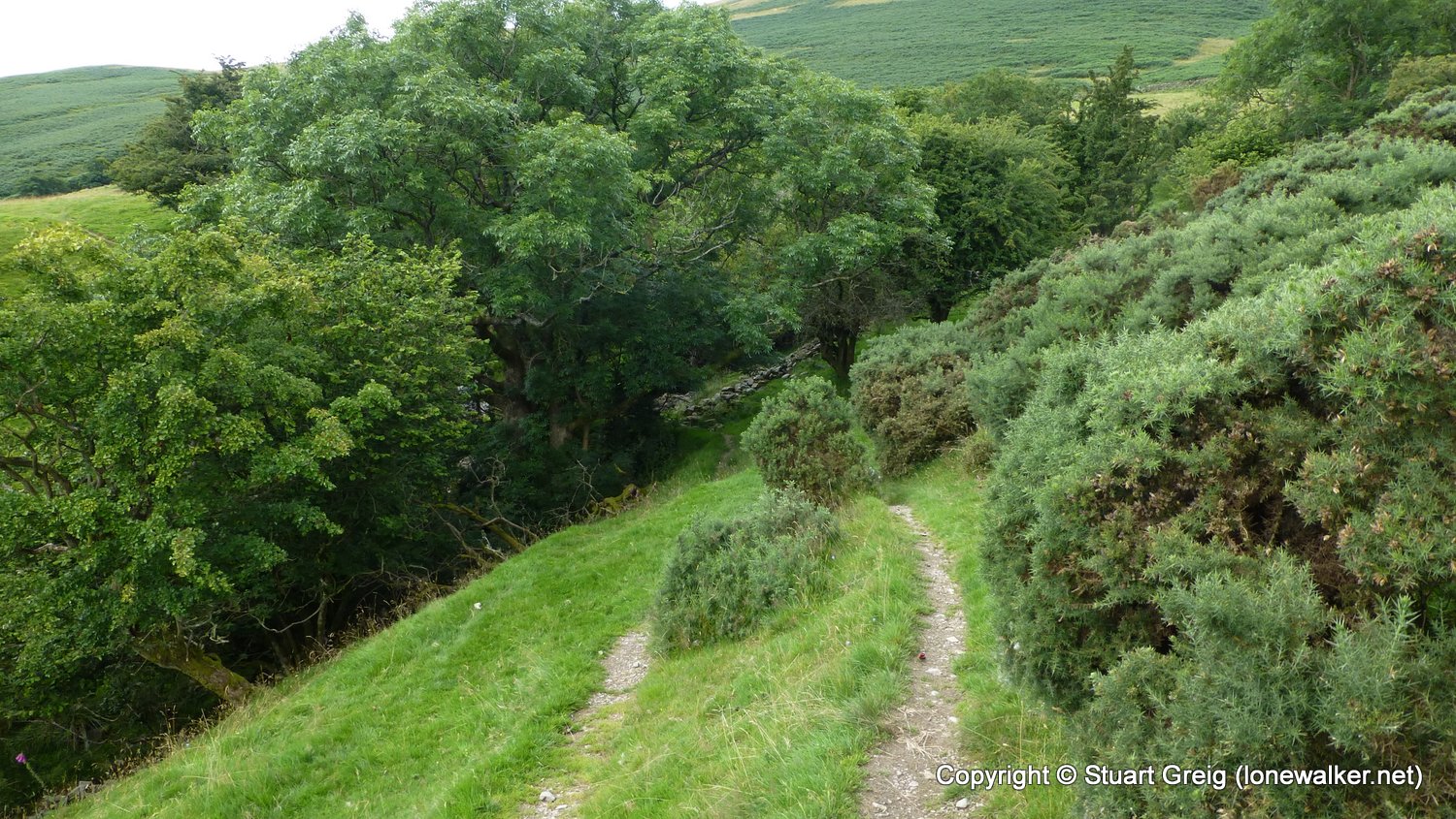
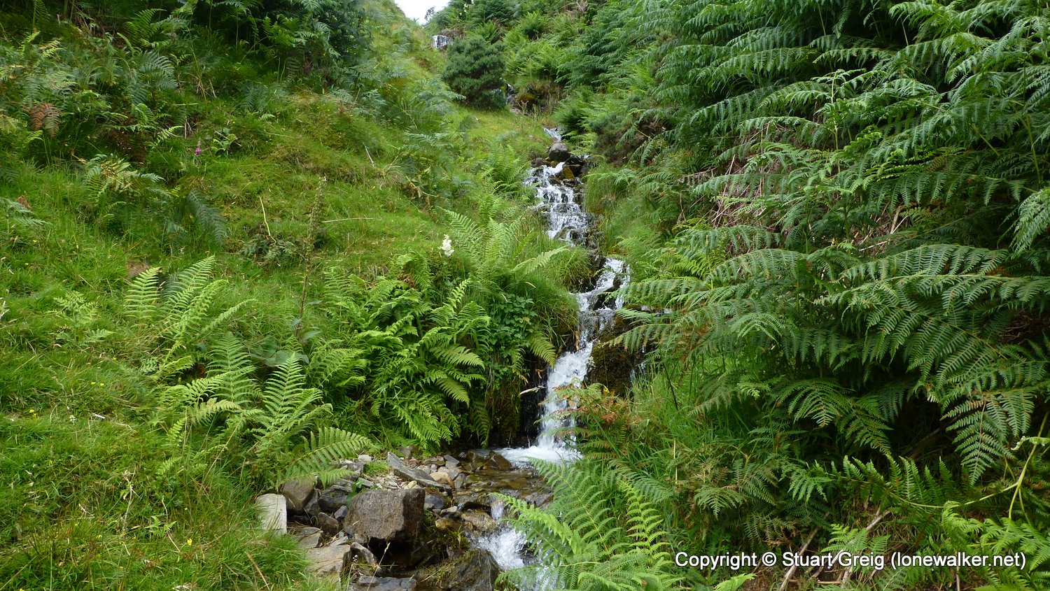
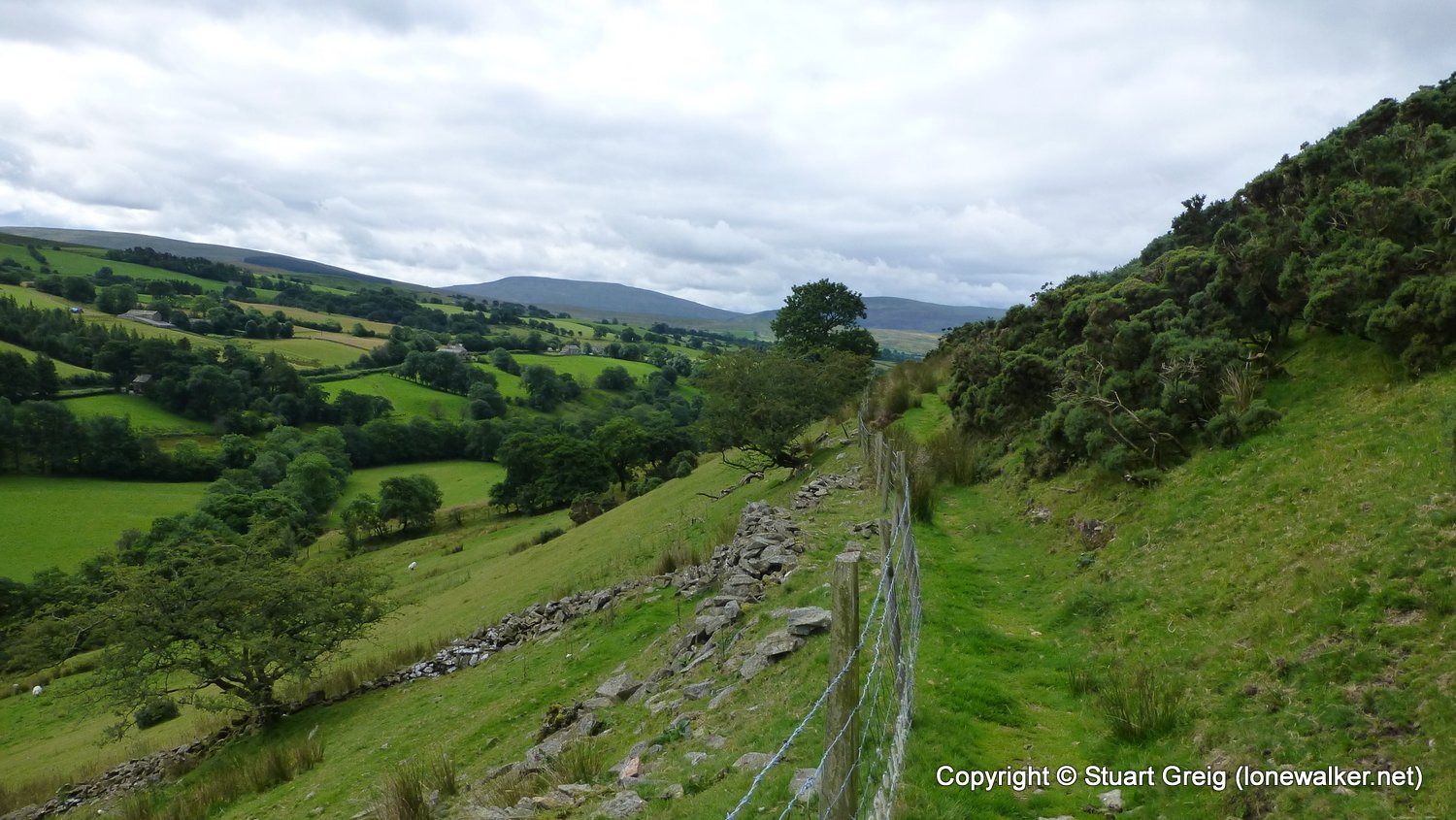
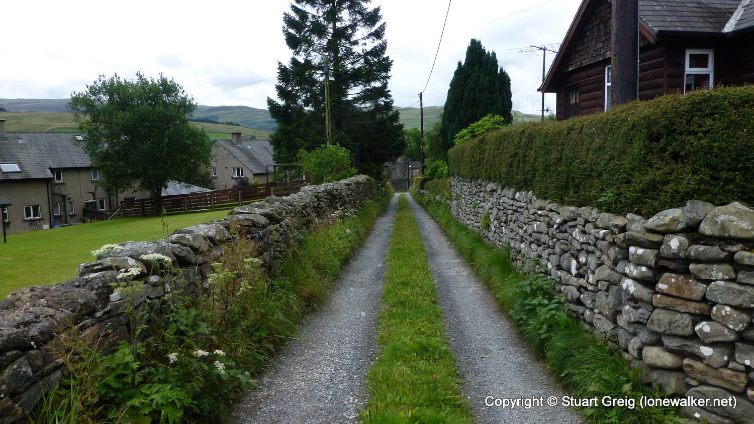
A lovely start to the day with blue skies and a calm tarn, wet underfoot all day until the final few miles into Sedbergh. The descent of Wild Boar Fell and the route over Bluecaster being the worst, but trail shoes make it not too bad. The route over Bluecaster gave great views but the terrain is pretty bad, don't think I'll be coming back to do this Tump again! The valley route into Sedbergh was great, very quiet and good paths for the most part.
Date: 2016-07-30
Start: Wild Boar Fell Finish: sedbergh
Distance: 9.6 mls, 15.45 km
Height Gain: 1000 ft, 304.8 m
Start Time: 07:40 End Time: 11:30
Duration: 03:50
Ave Speed: 2.5 mph
Region: Yorkshire Dales
Route Description: Sand Tarn, Green Rigg, Rawthey Bridge, Bluecaster, Wardses, Cock Brow, Ellerthwaite, Underbank, Sedbergh
Parking Grid Ref:
View Parking space in: OS Map or Google Street View
Walking with: Alone
Long Distance Path:
16401 - Bluecaster (1132 ft)
Click any image to open the full screen photo gallery


Walk Name: Kirkby Stephen Station to Wild Boar Fell
Date: 2016-07-29
Distance: 9.5 mls, 15.29 km
Height Gain: 2200 ft, 670.6 m
Walk Name: Filey to Scarborough
Date: 2016-08-25
Distance: 14.4 mls, 23.17 km
Height Gain: 2200 ft, 670.6 m