
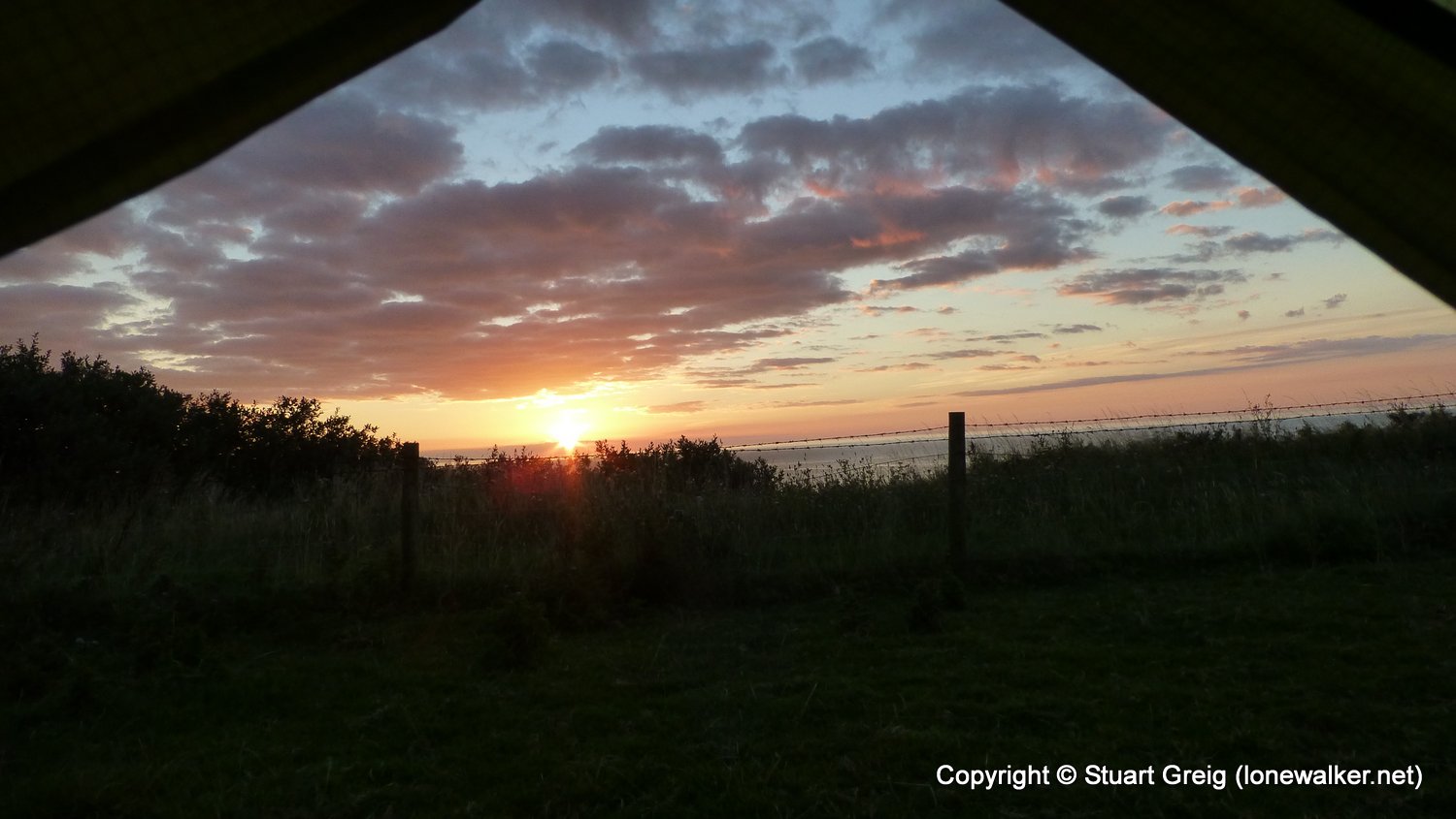
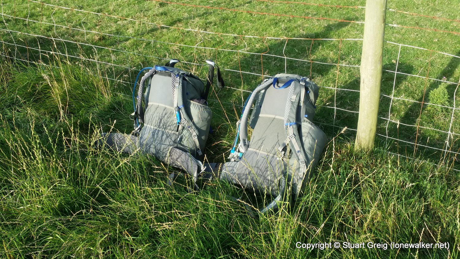
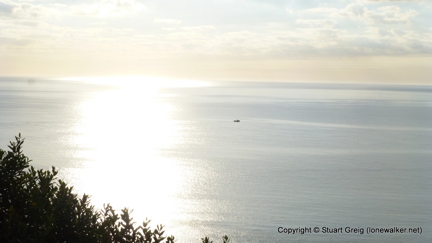
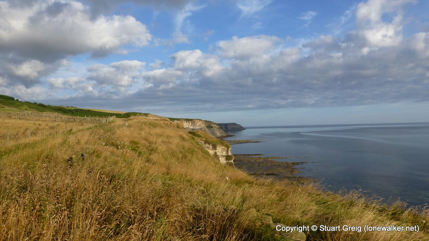
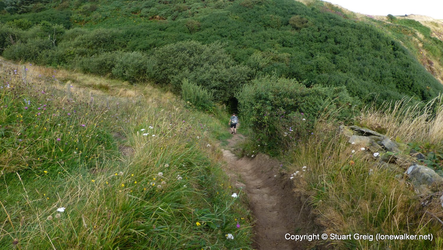
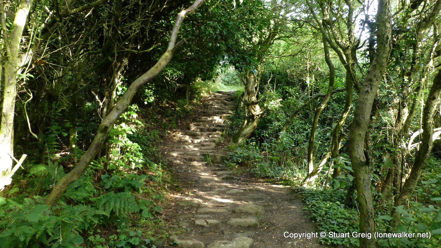
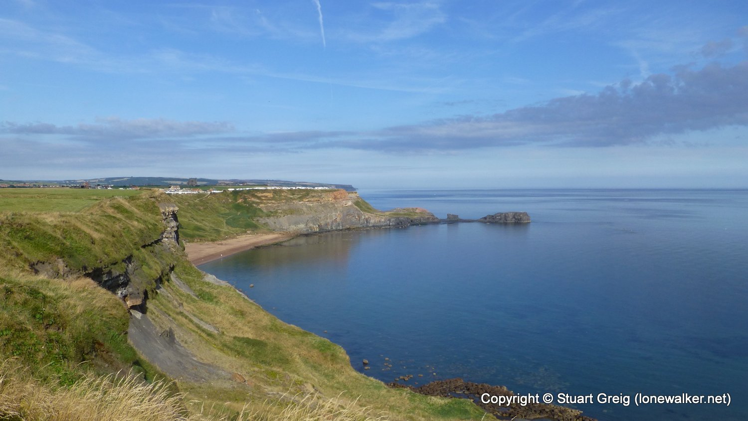
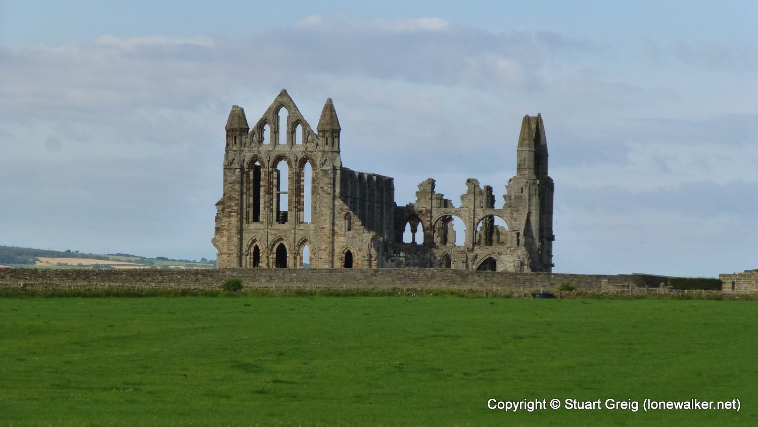
Another lovely day, this time without the breeze to keep us cool, so felt all the warmer. Not disturbed again, despite the path-side pitch, but we were away much earlier this morning, to facilitate a second breakfast in Whitby and a pickup for around 11am. In the end we arrived earlier than expected, due to an over-calculation of the distance by Chris. Lovely section of coastal path this, and would be great to go back and finish off the Cleveland Way at some point in the future.
Date: 2016-08-27
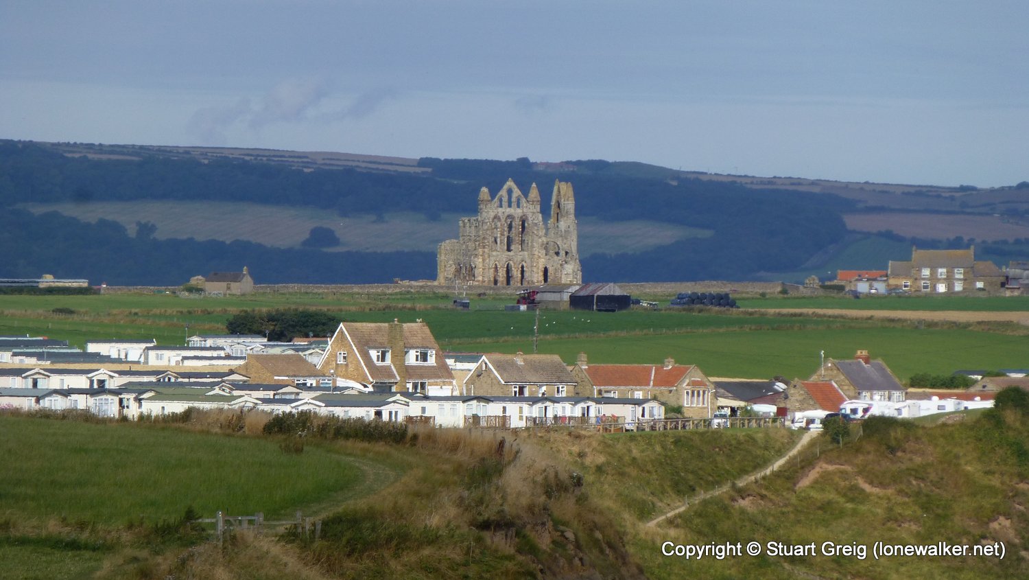
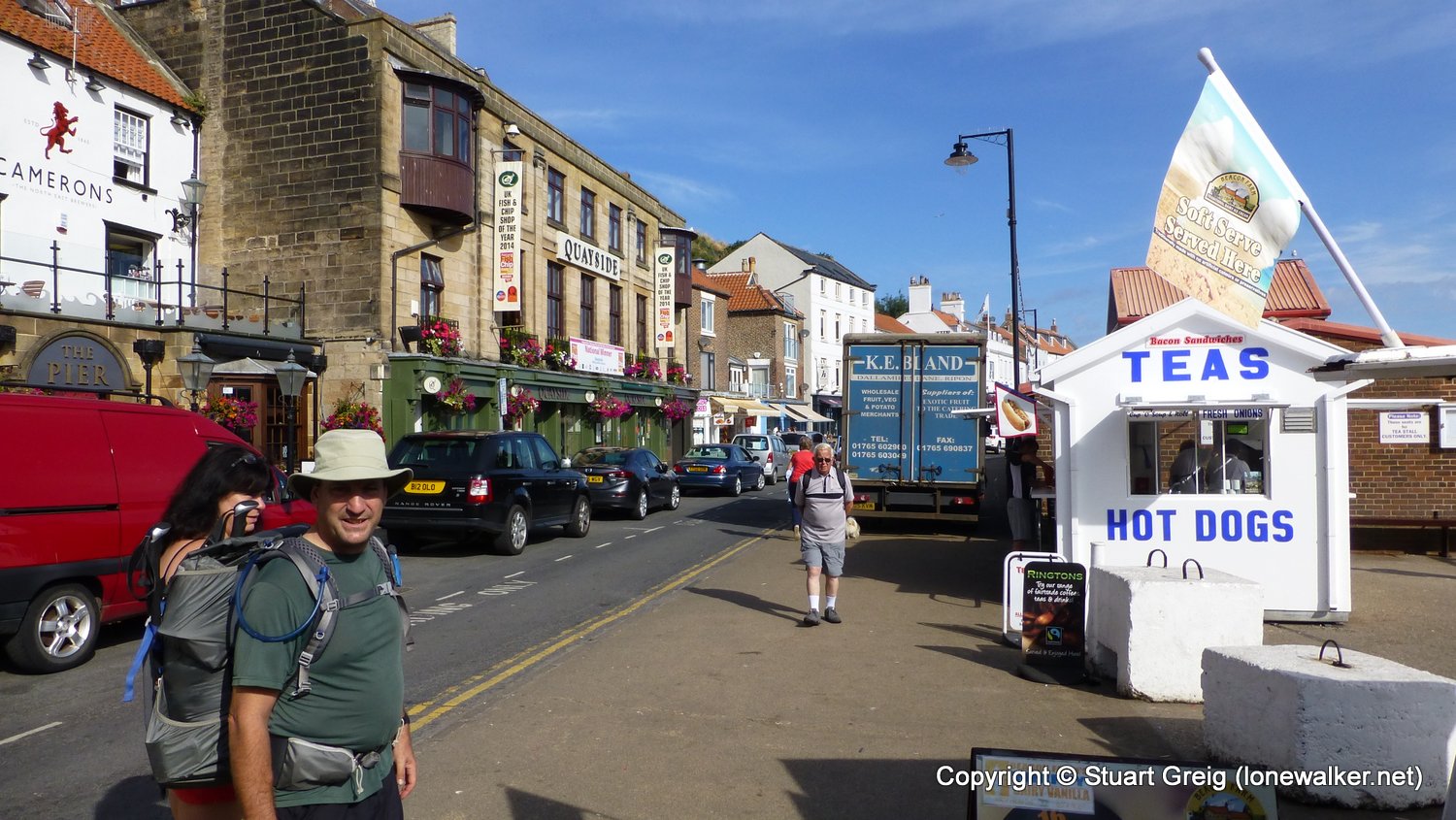
Start: North Point Finish: Whitby
Distance: 6.3 mls, 10.14 km
Height Gain: 1200 ft, 365.8 m
Start Time: 07:30 End Time: 10:15
Duration: 02:45
Ave Speed: 2.1 mph
Region: Northern England
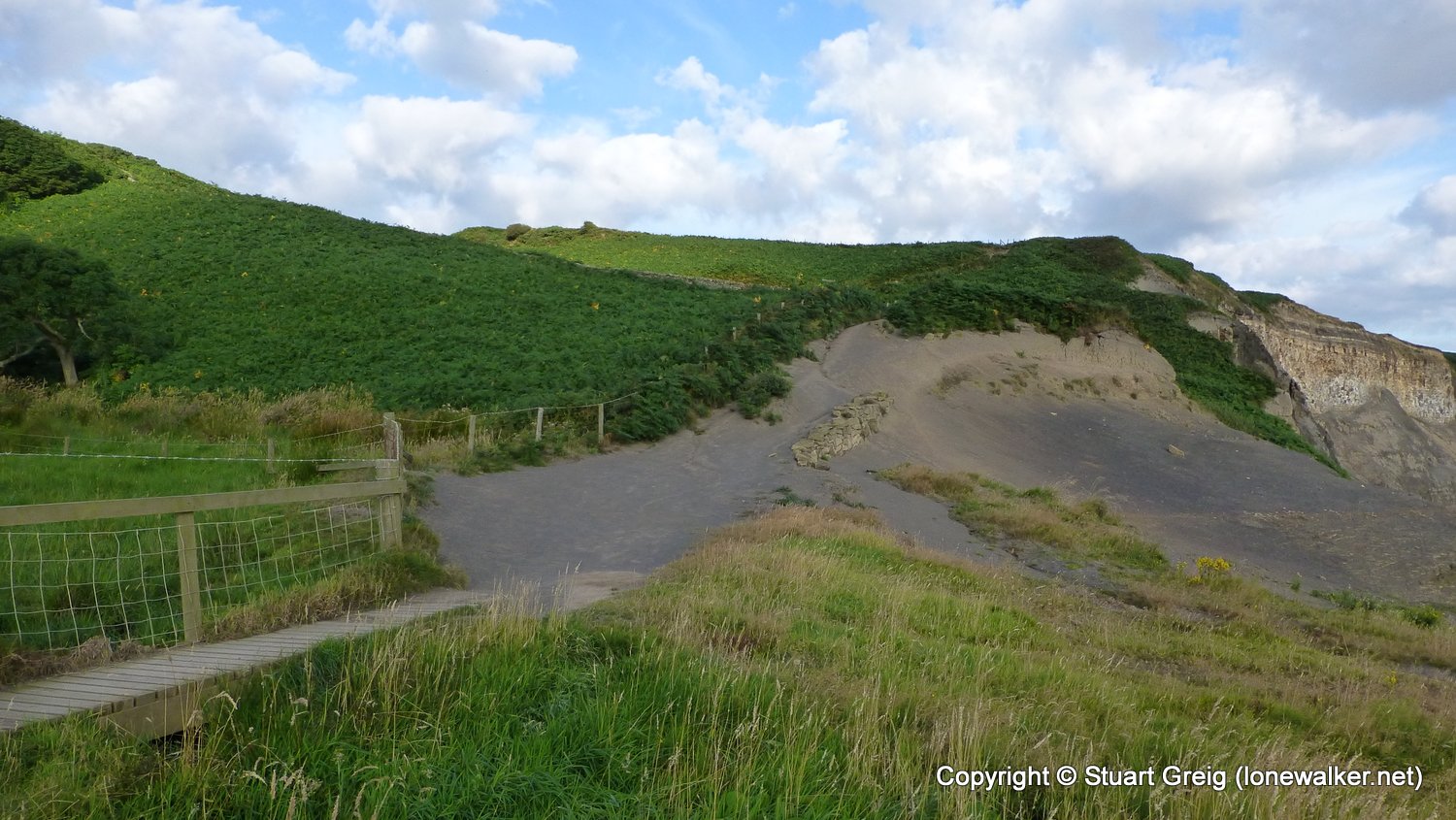
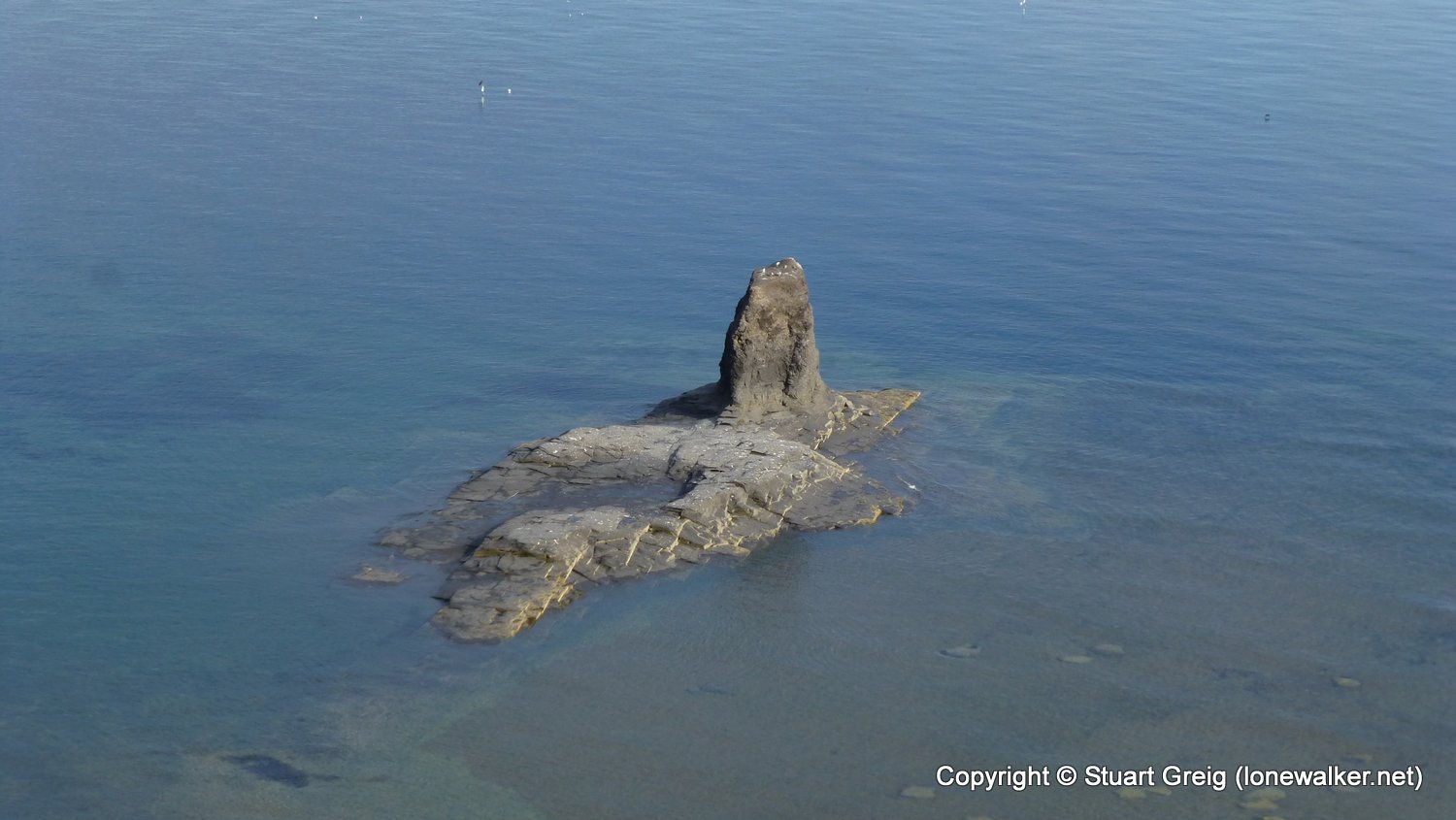
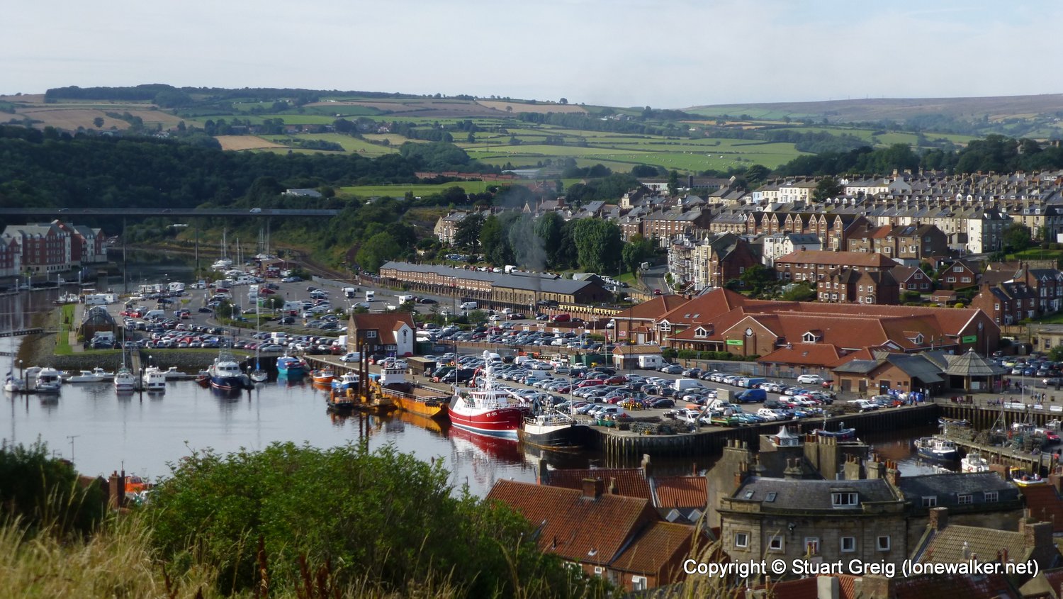
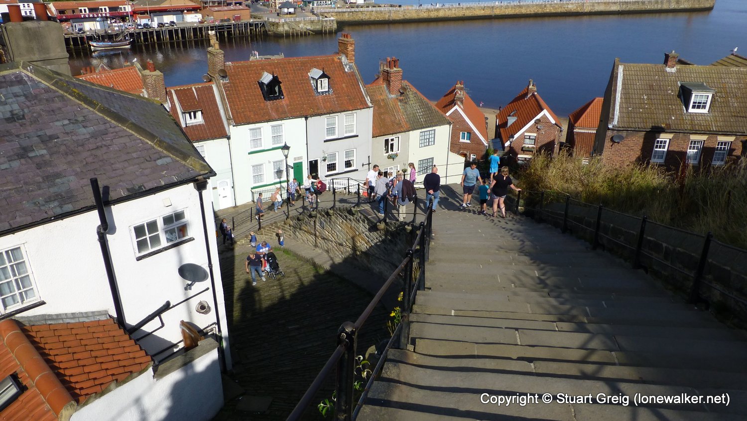
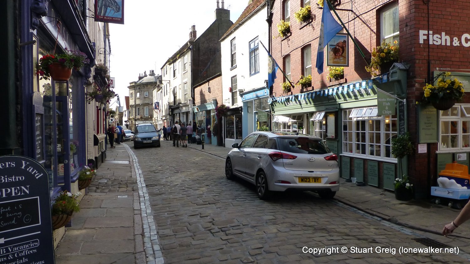
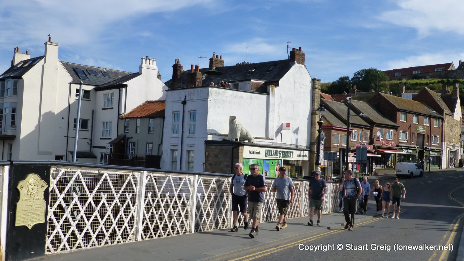
Route Description: North Point, Rain Dale, Limekiln Stack, Oakham Wood, Whitestone Point, Saltwick, Whitby
Parking Grid Ref:
View Parking space in: OS Map or Google Street View
Walking with: Chris Pilgrim
Long Distance Path: Cleveland Way
Click any image to open the full screen photo gallery


Walk Name: Scarborough to Robin Hoods Bay
Date: 2016-08-26
Distance: 13.8 mls, 22.21 km
Height Gain: 2000 ft, 609.6 m
Walk Name: Ilam to Pilsbury
Date: 2016-09-09
Distance: 12.2 mls, 19.63 km
Height Gain: 2300 ft, 701.0 m